Long Beach and Cathedral Forest on Vancouver Island, BC

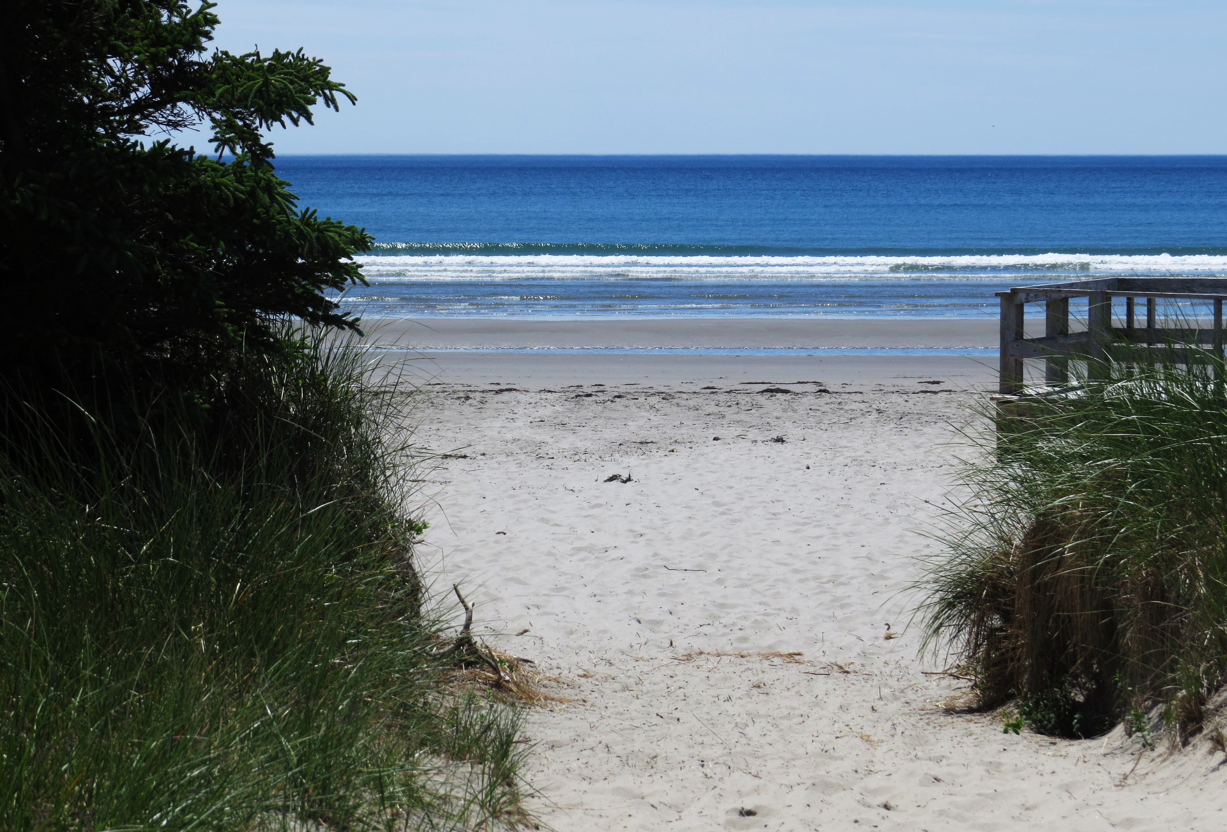
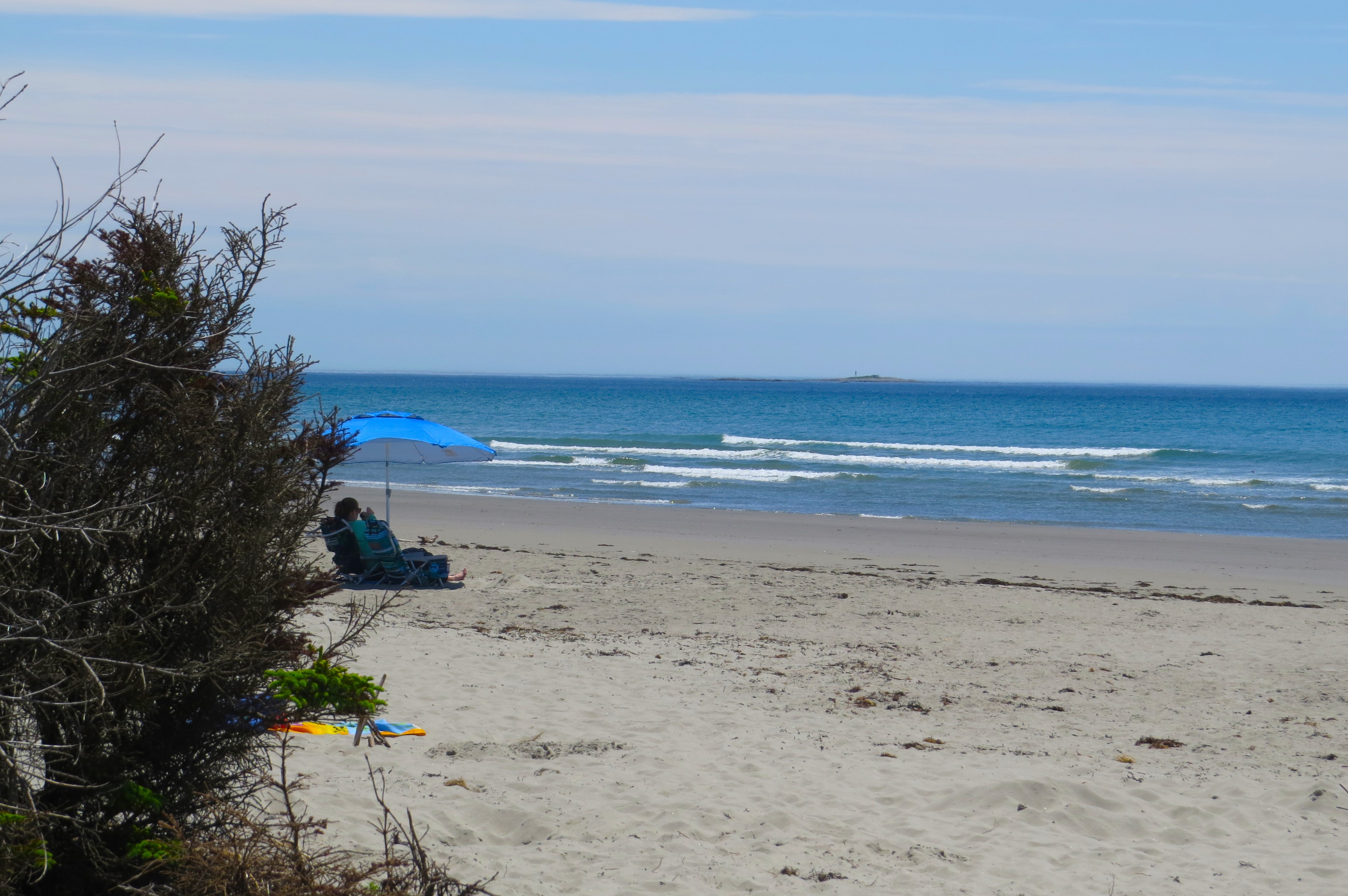
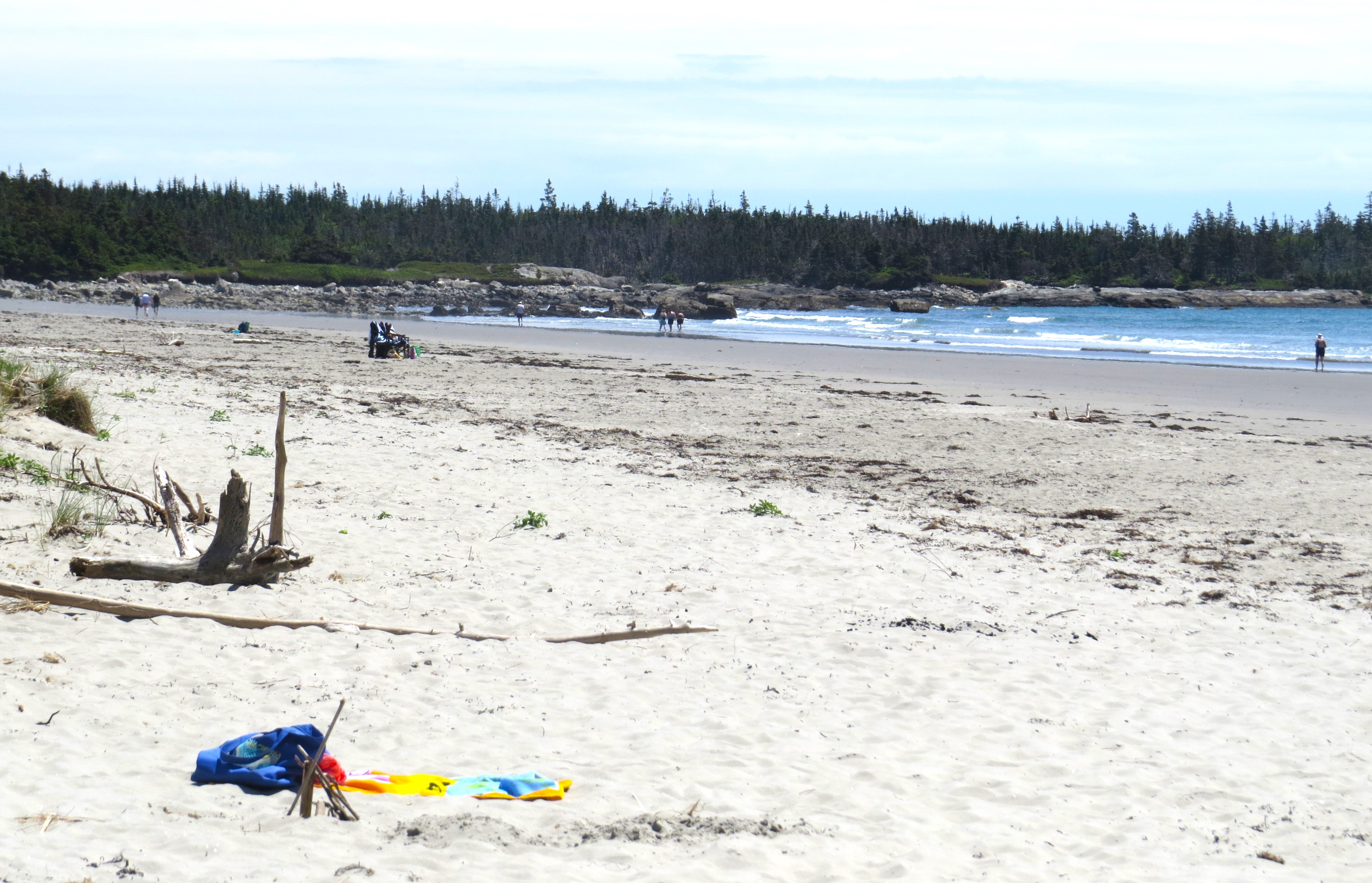
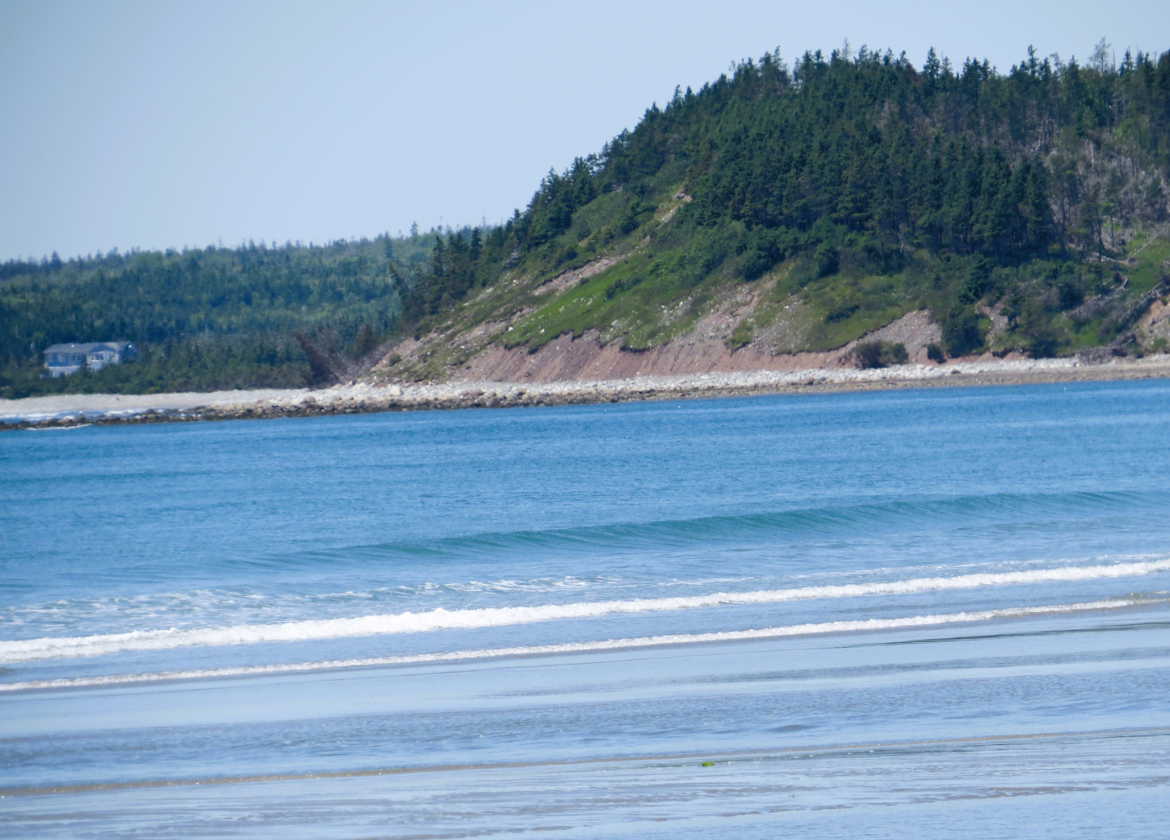
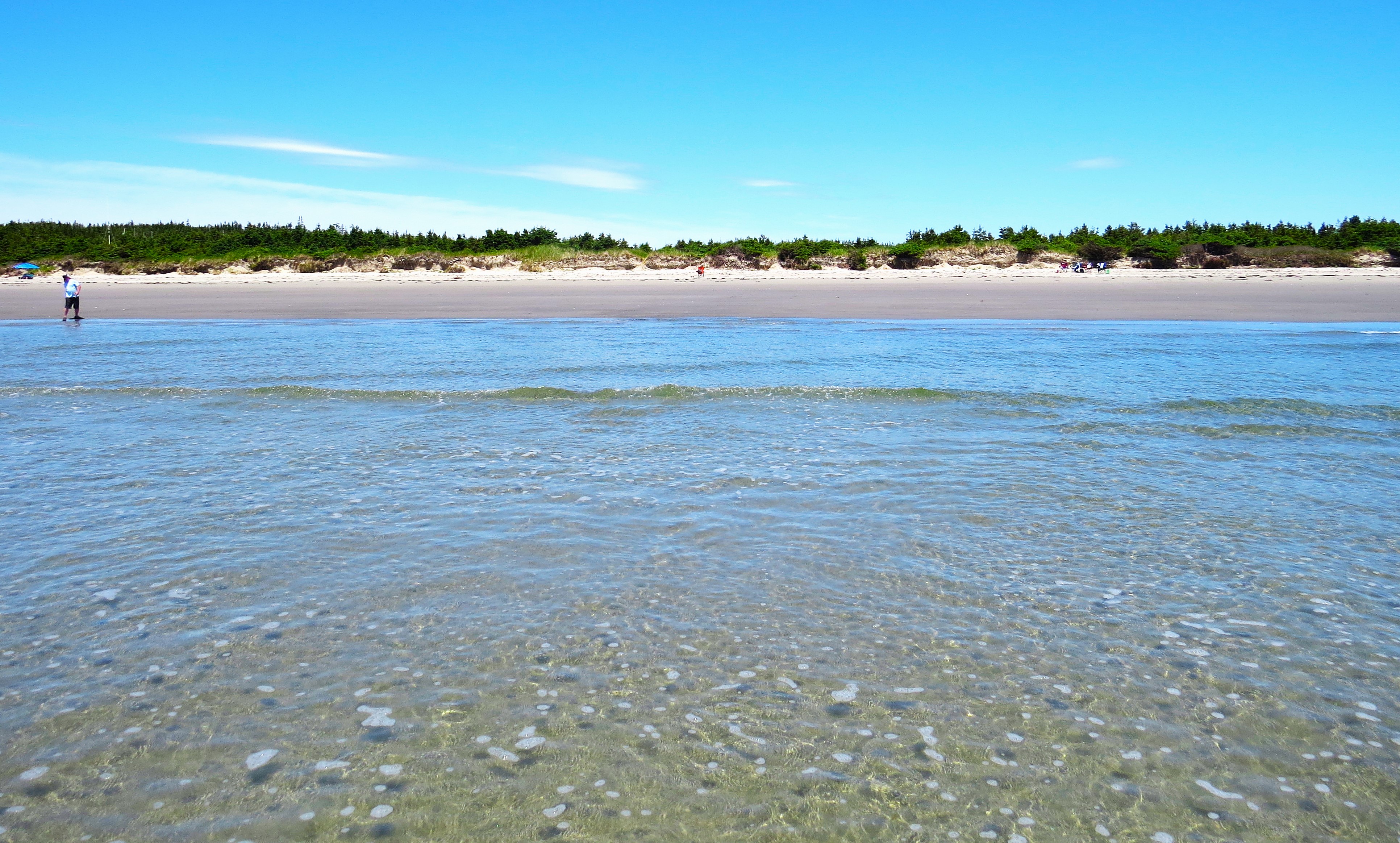
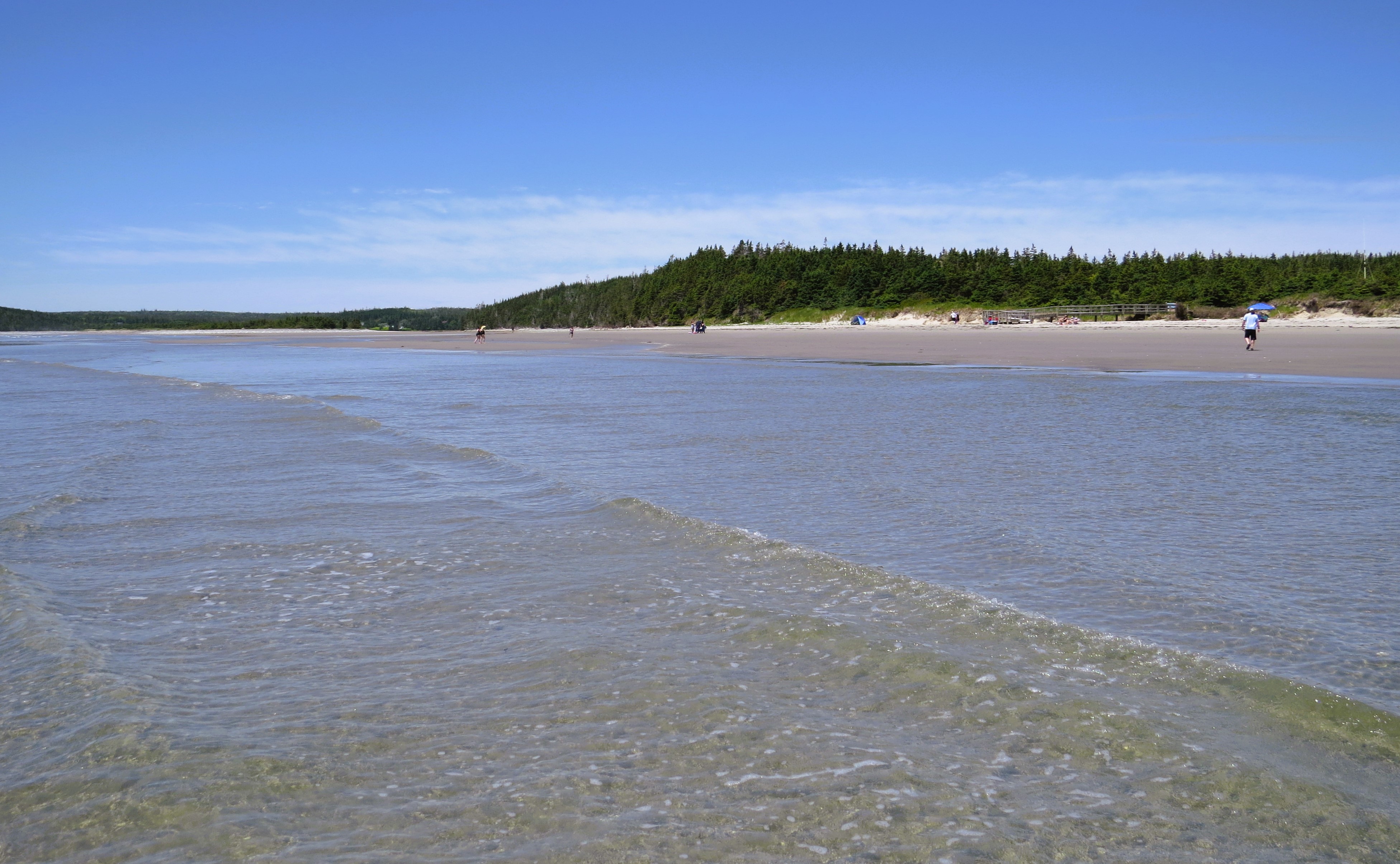
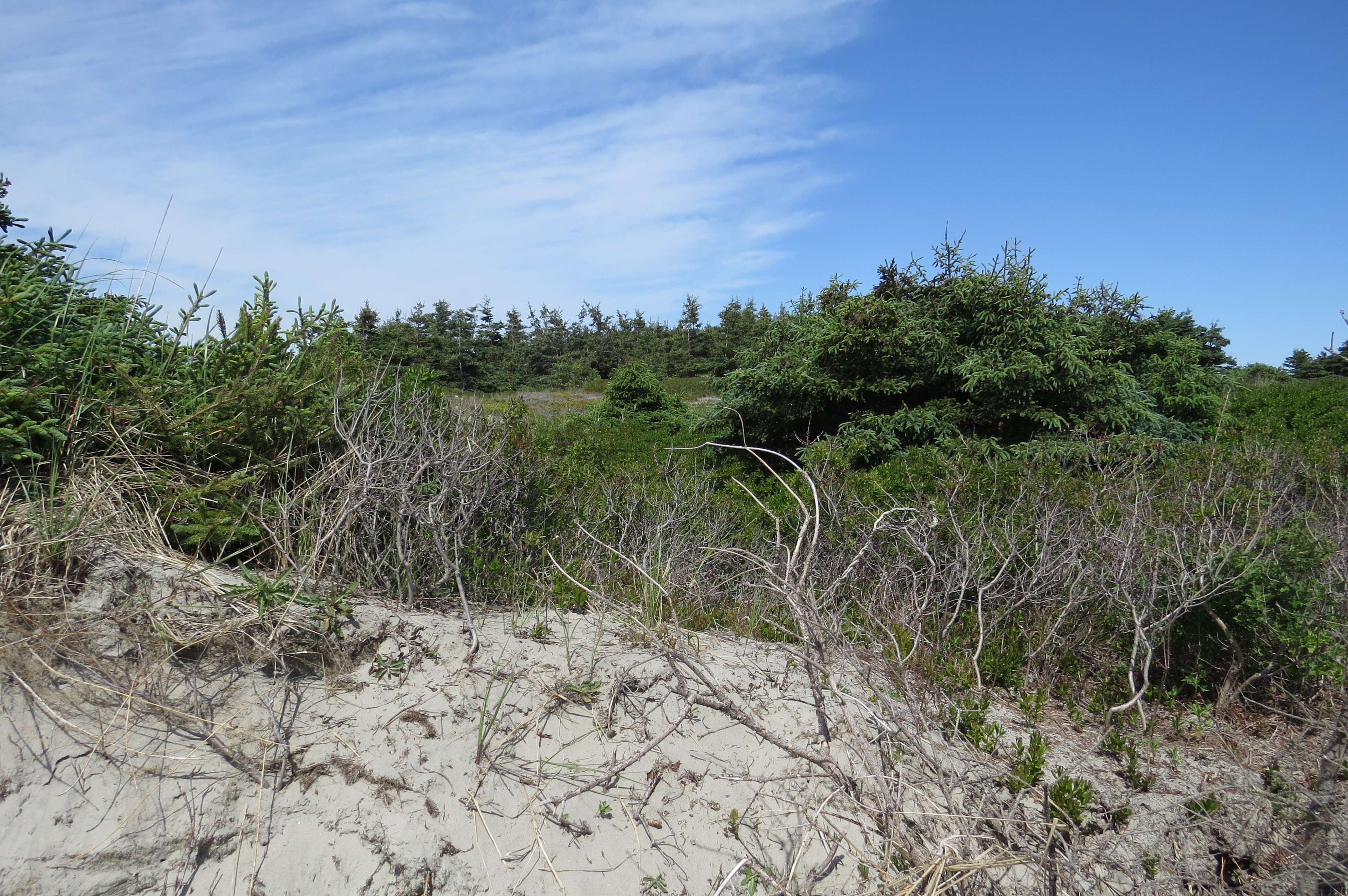
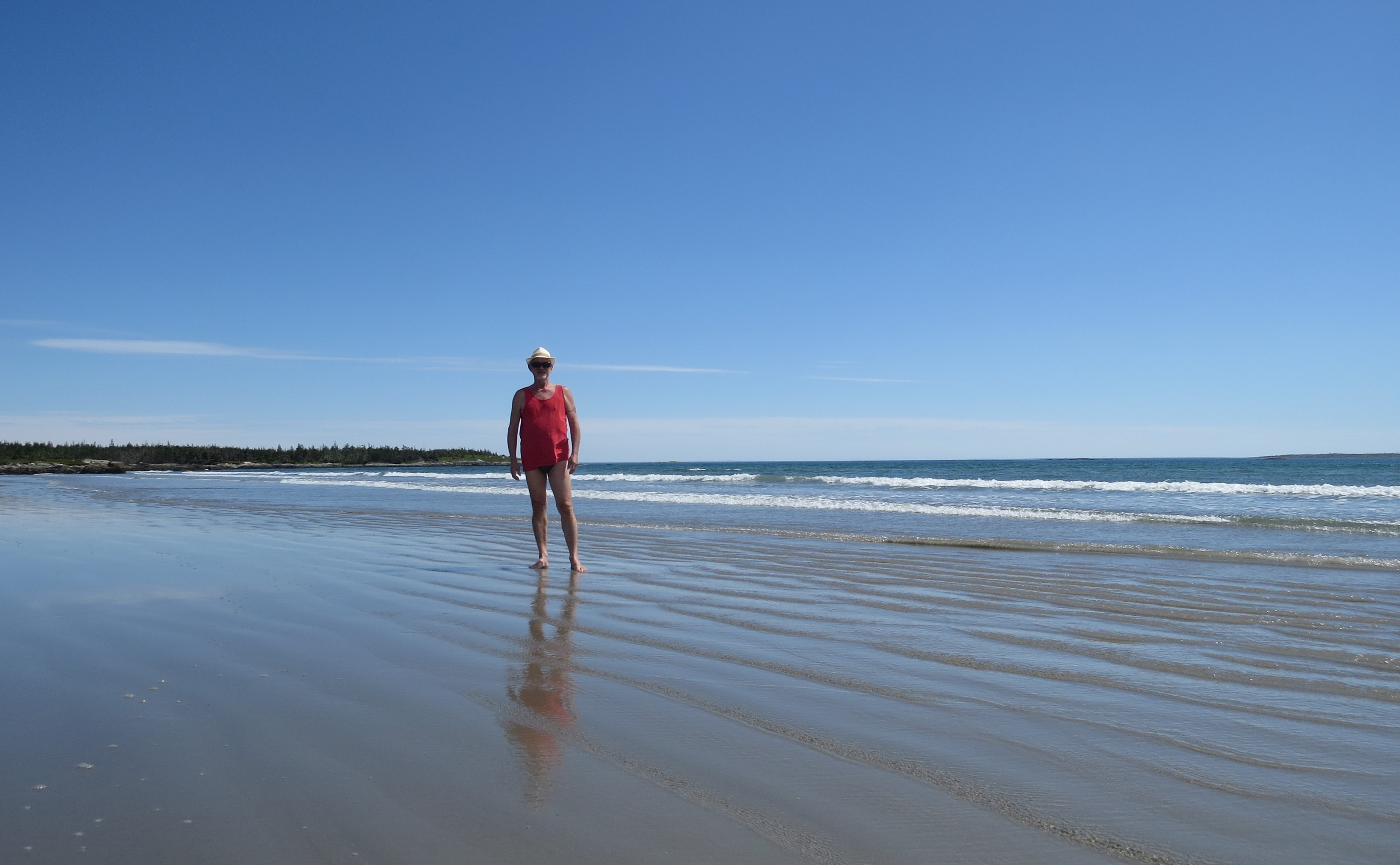
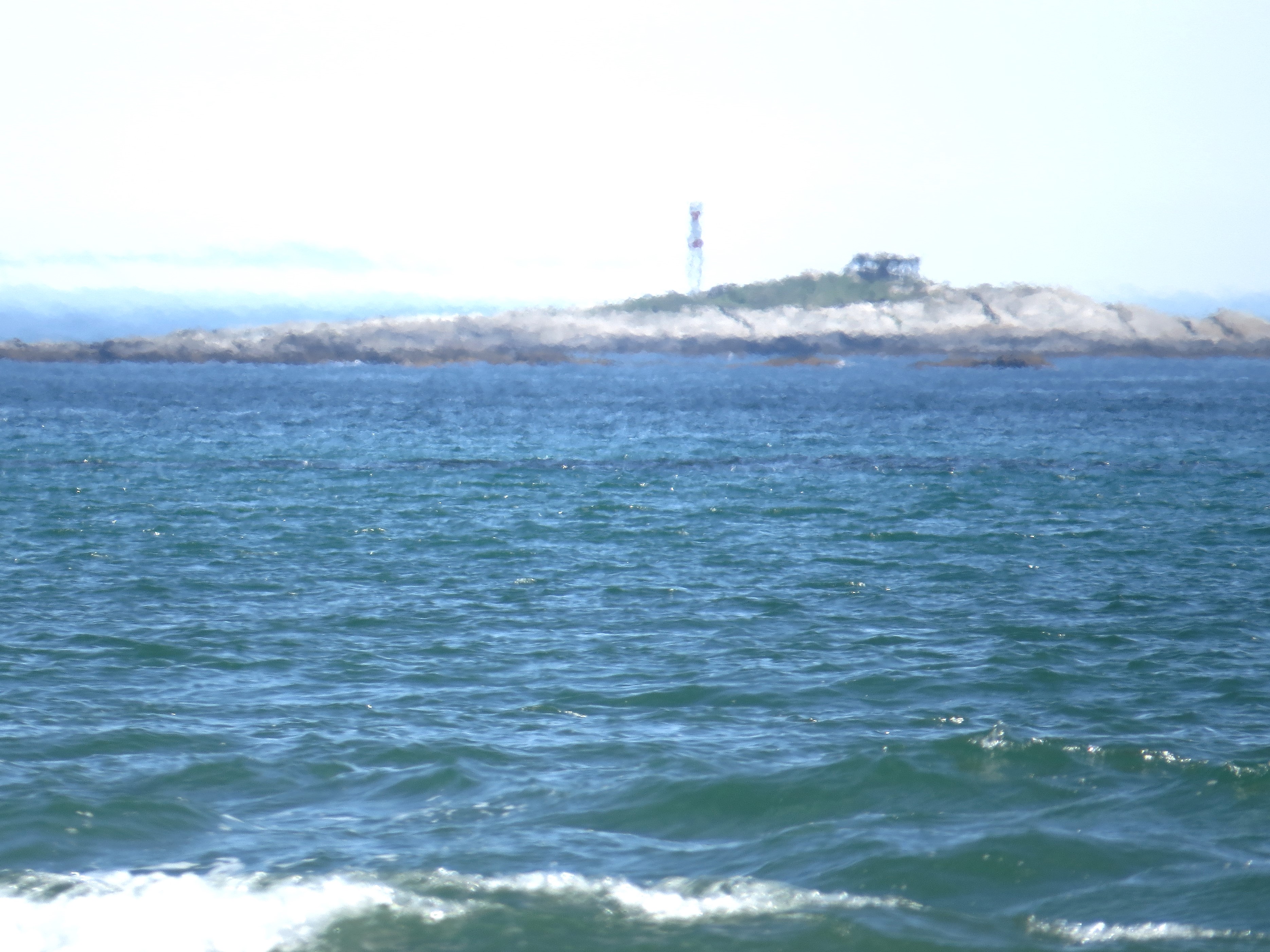
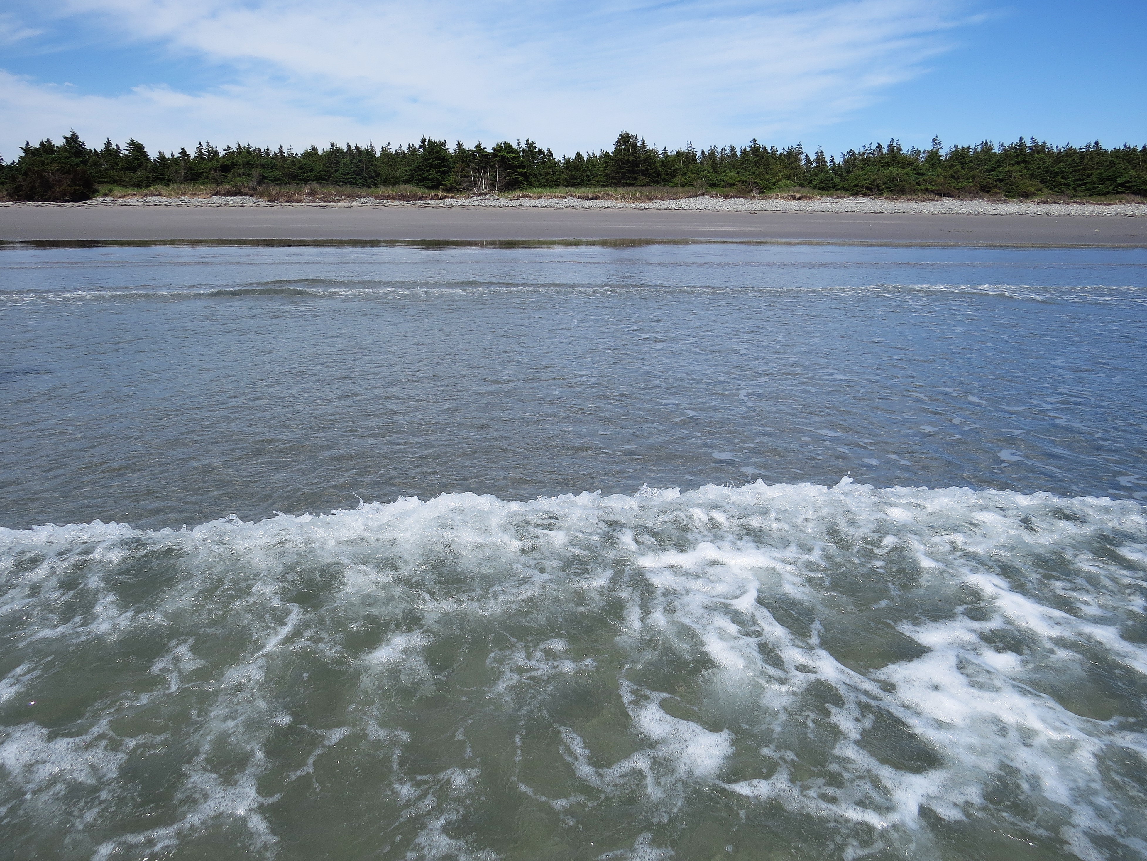
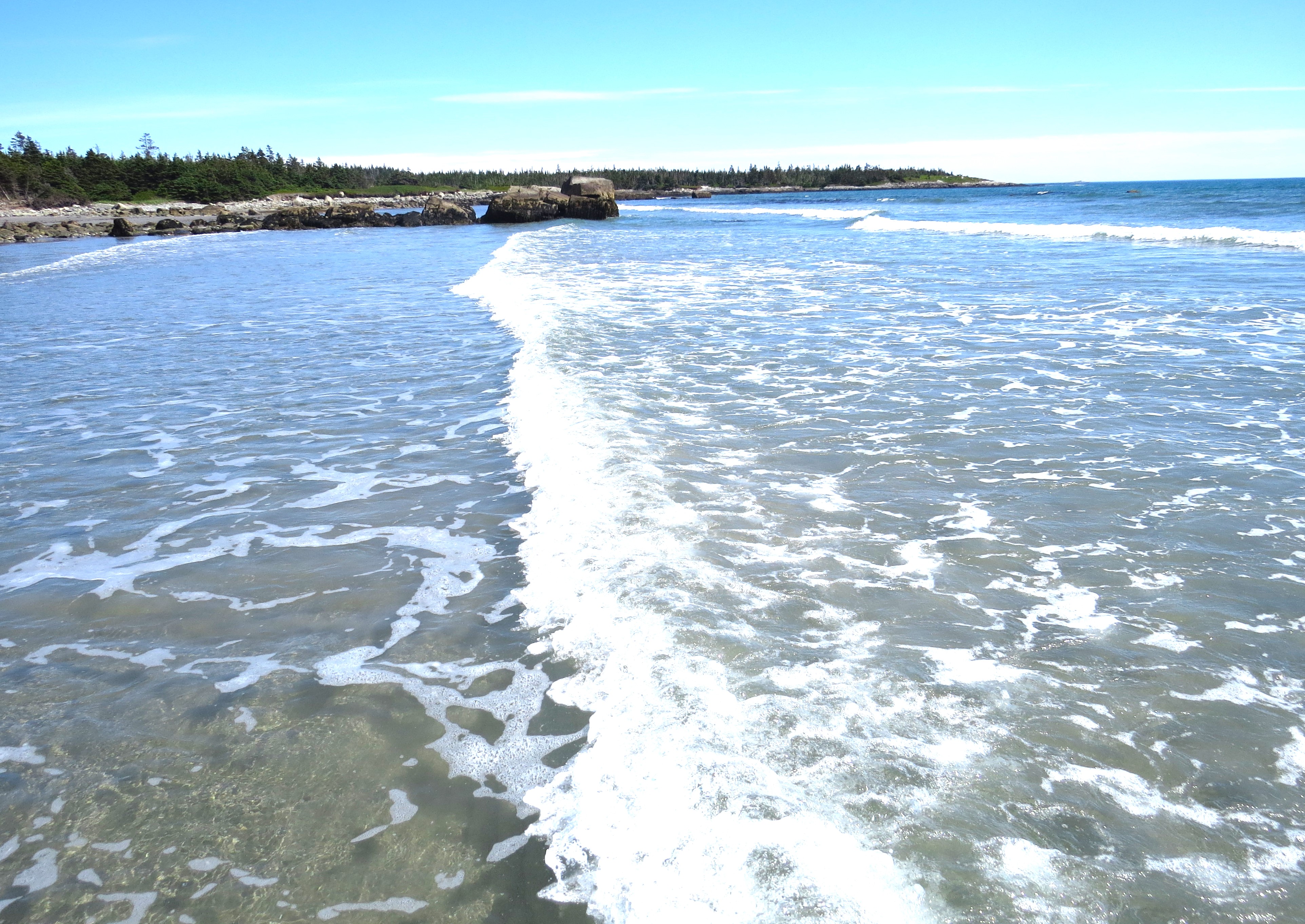
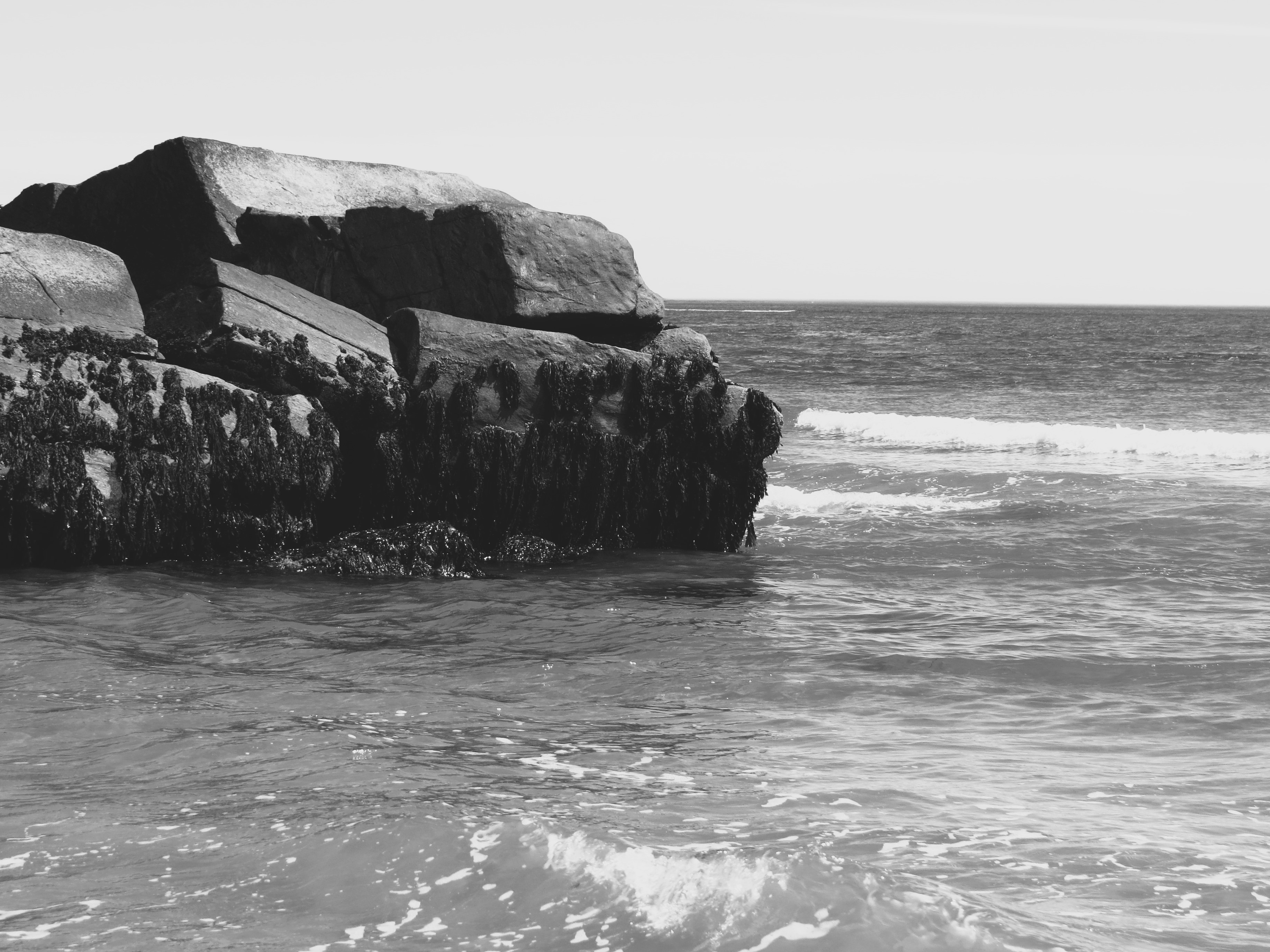
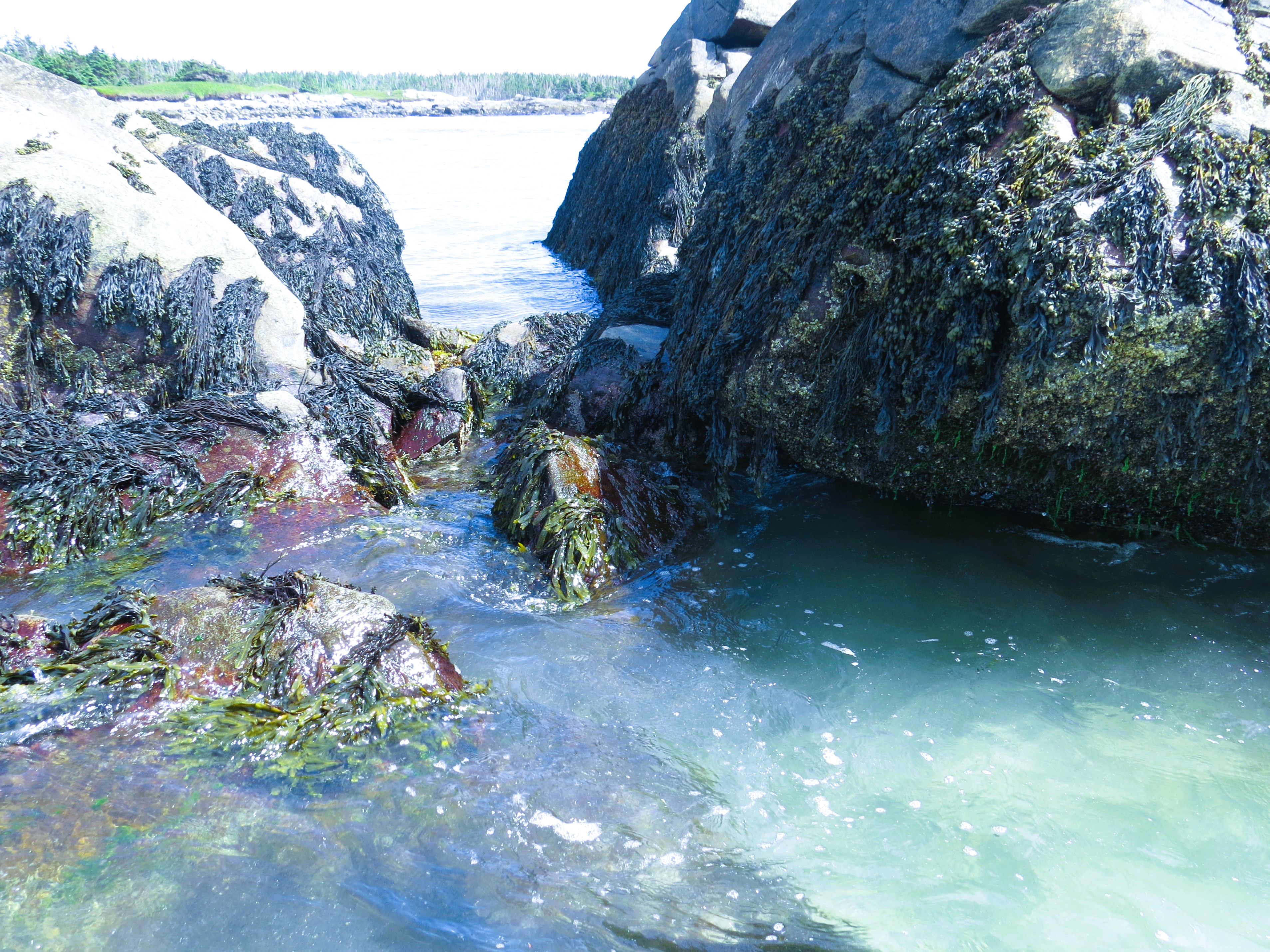
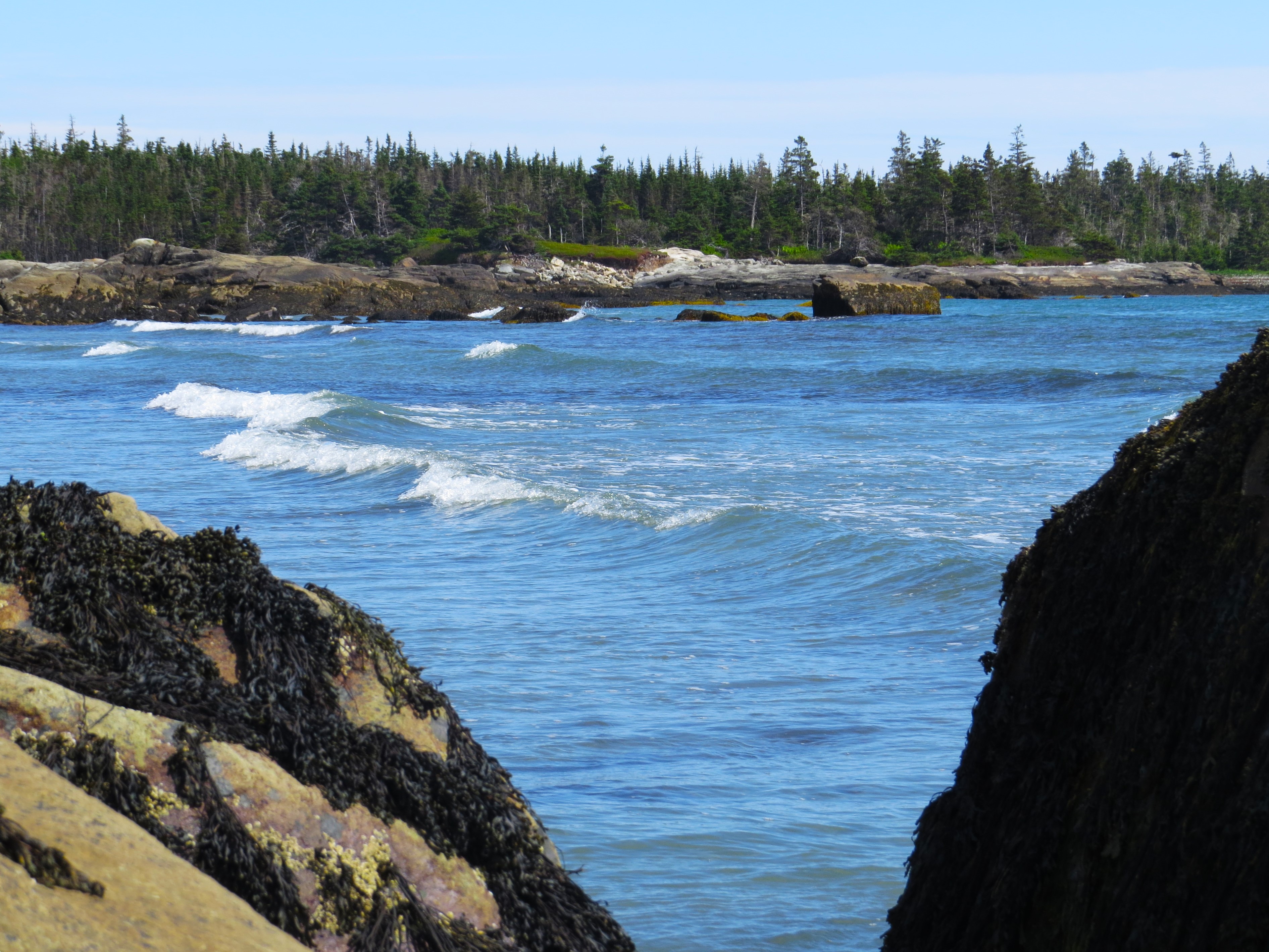
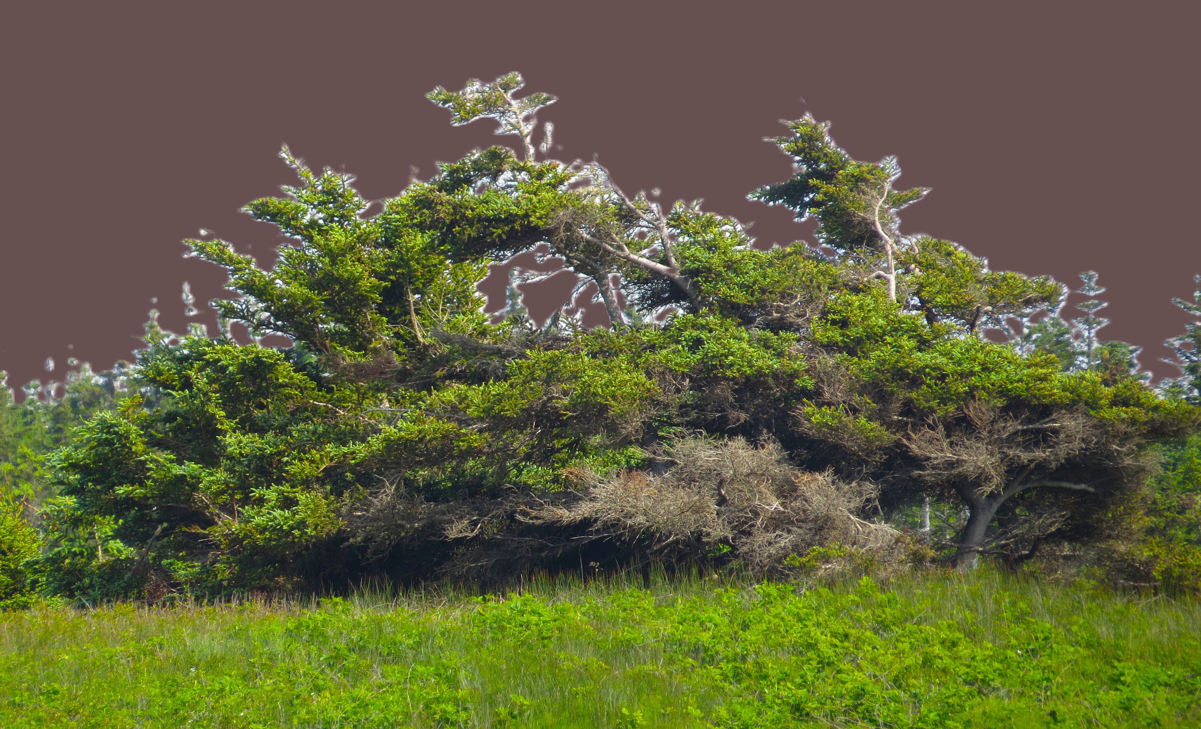
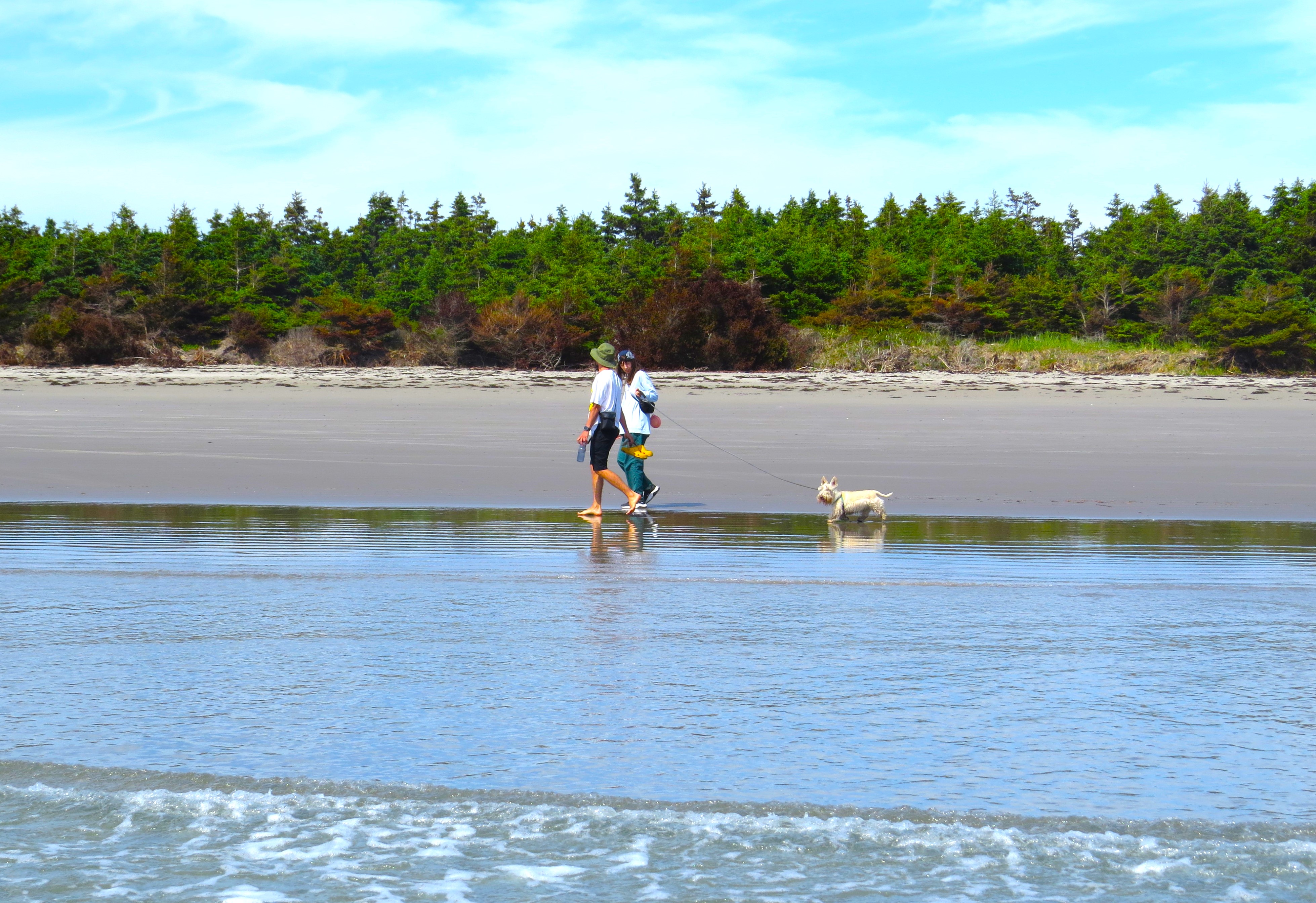
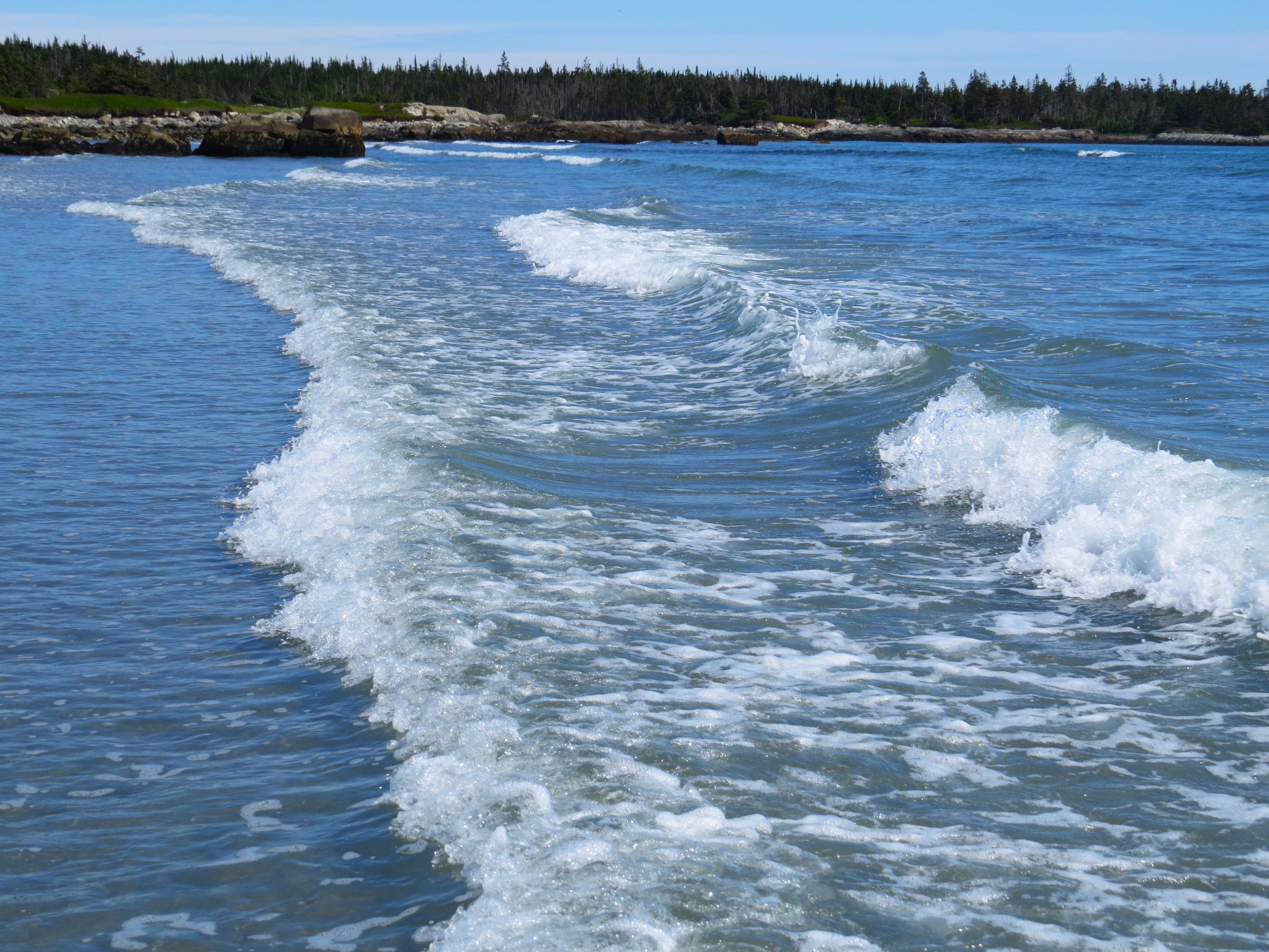
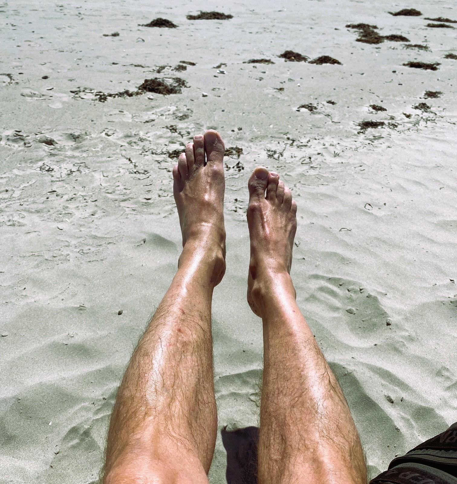
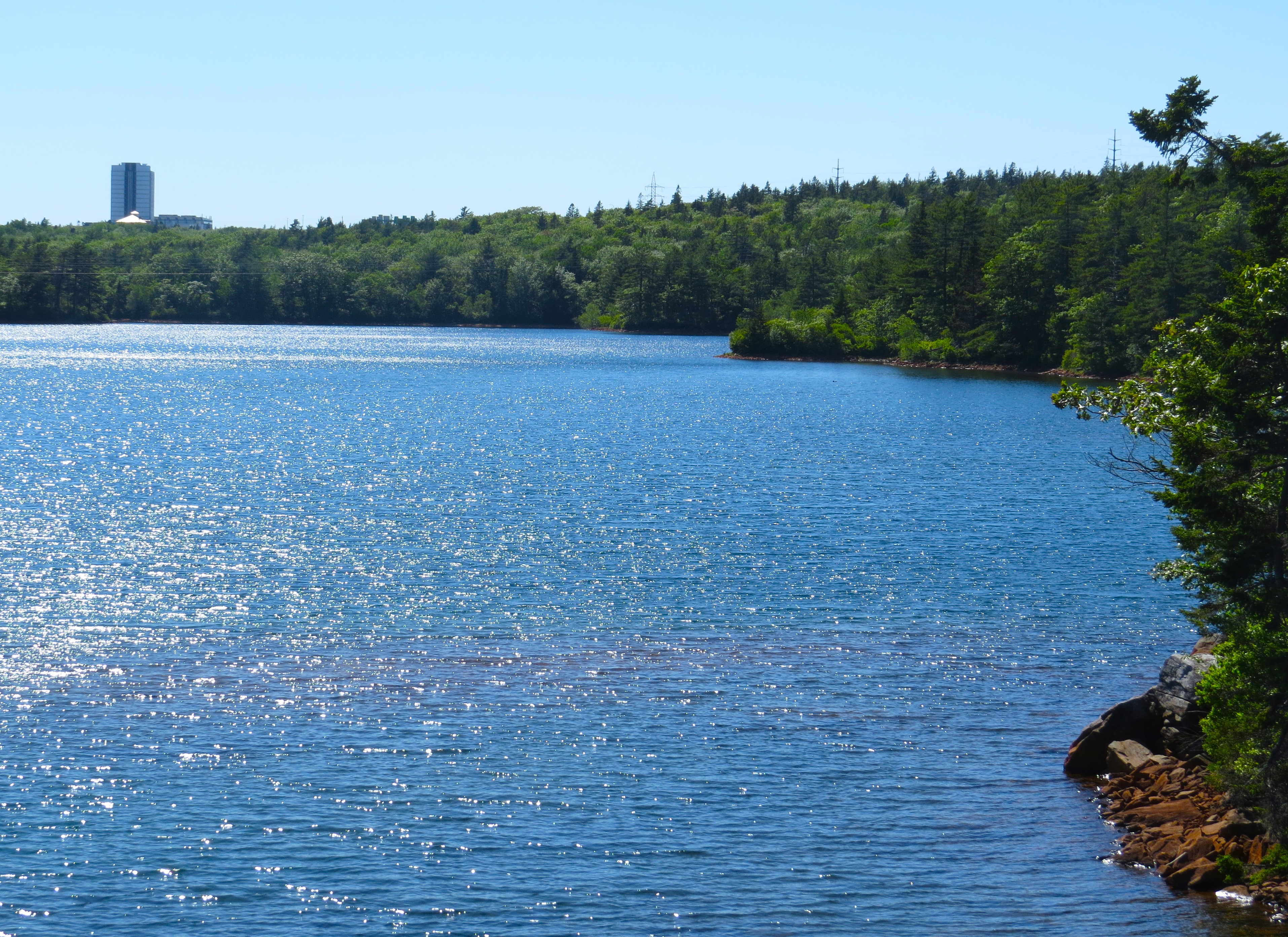
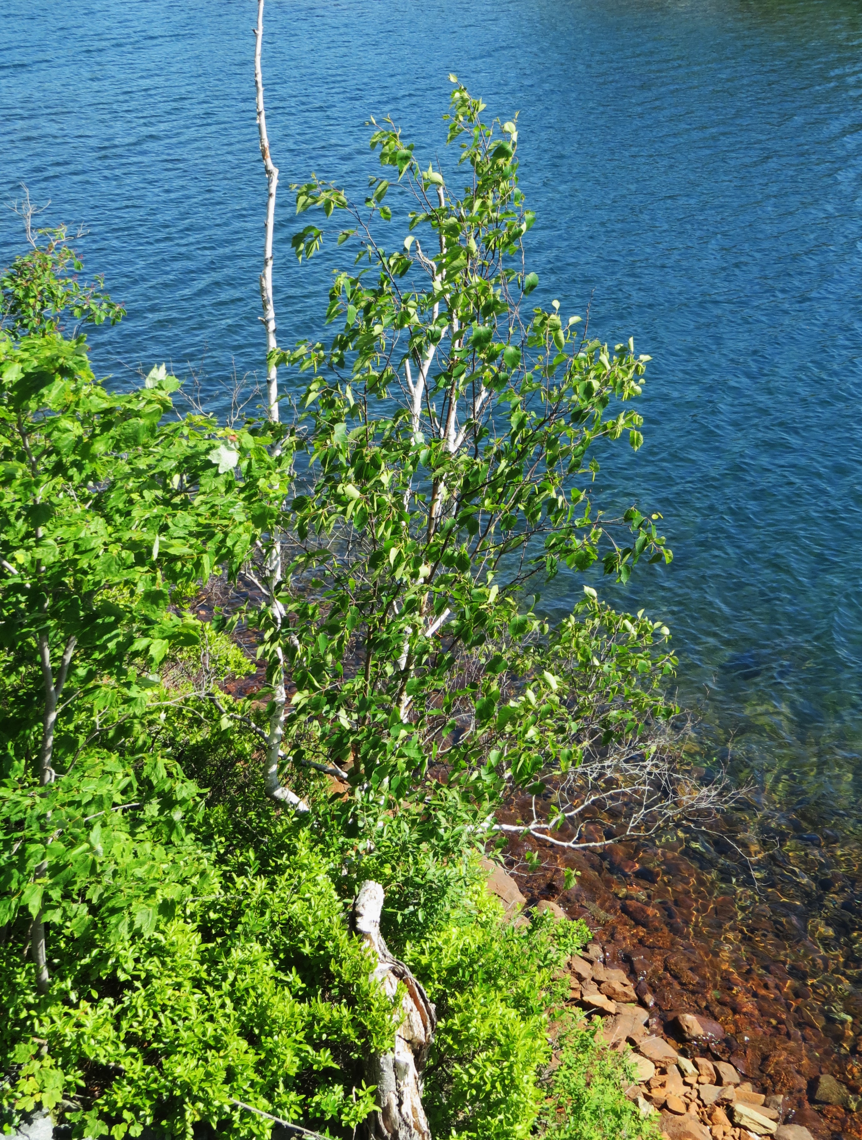
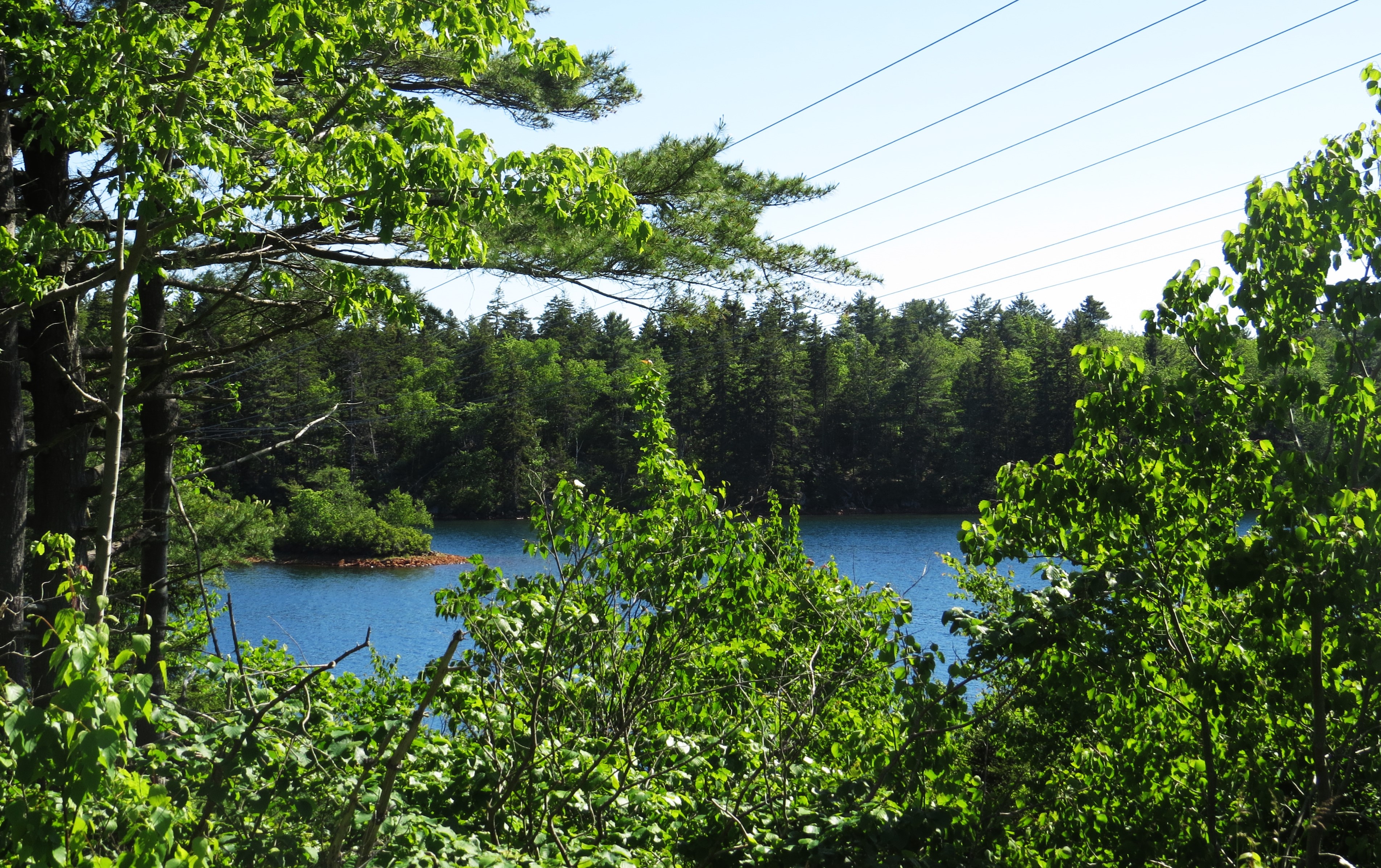
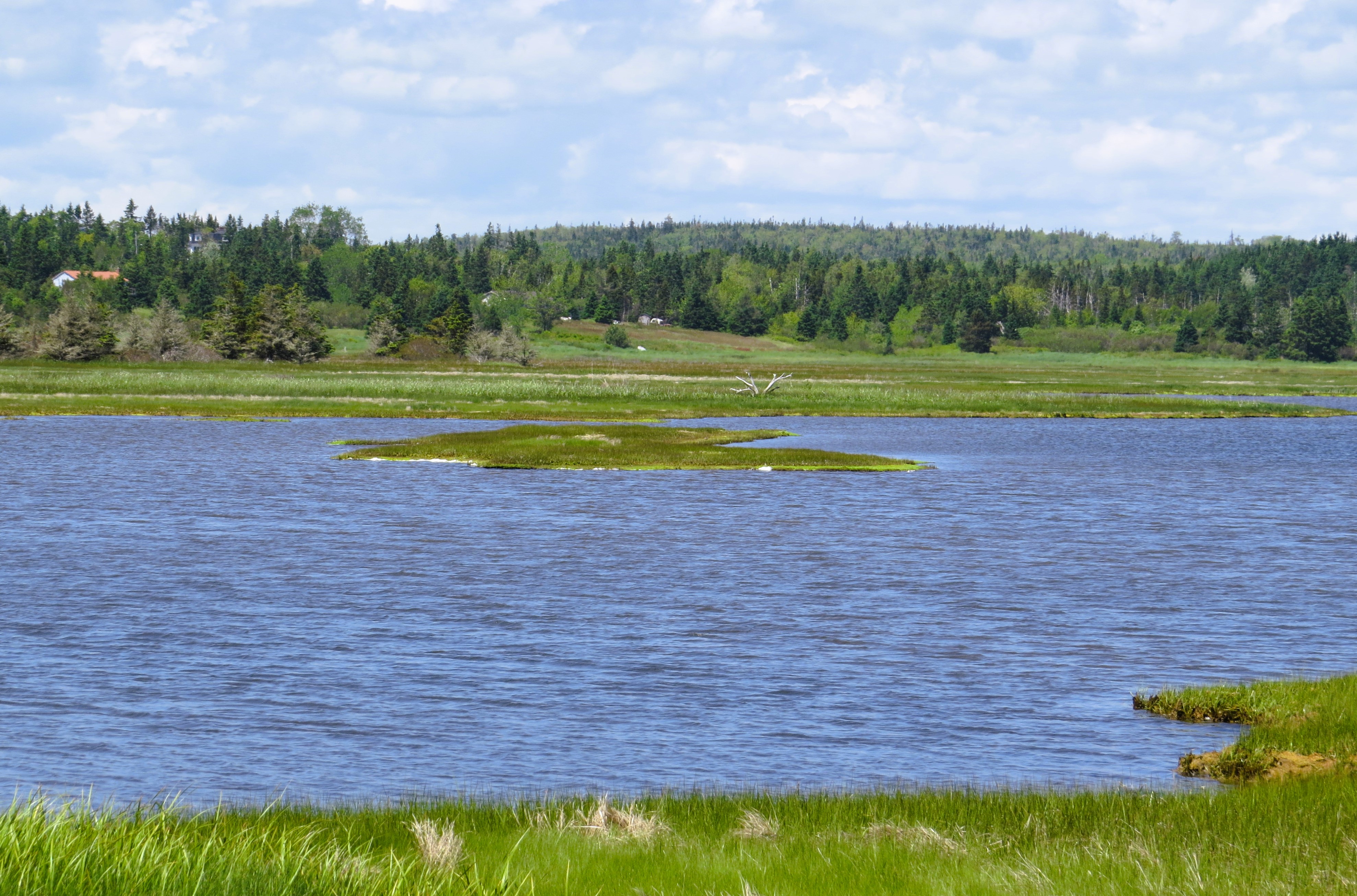
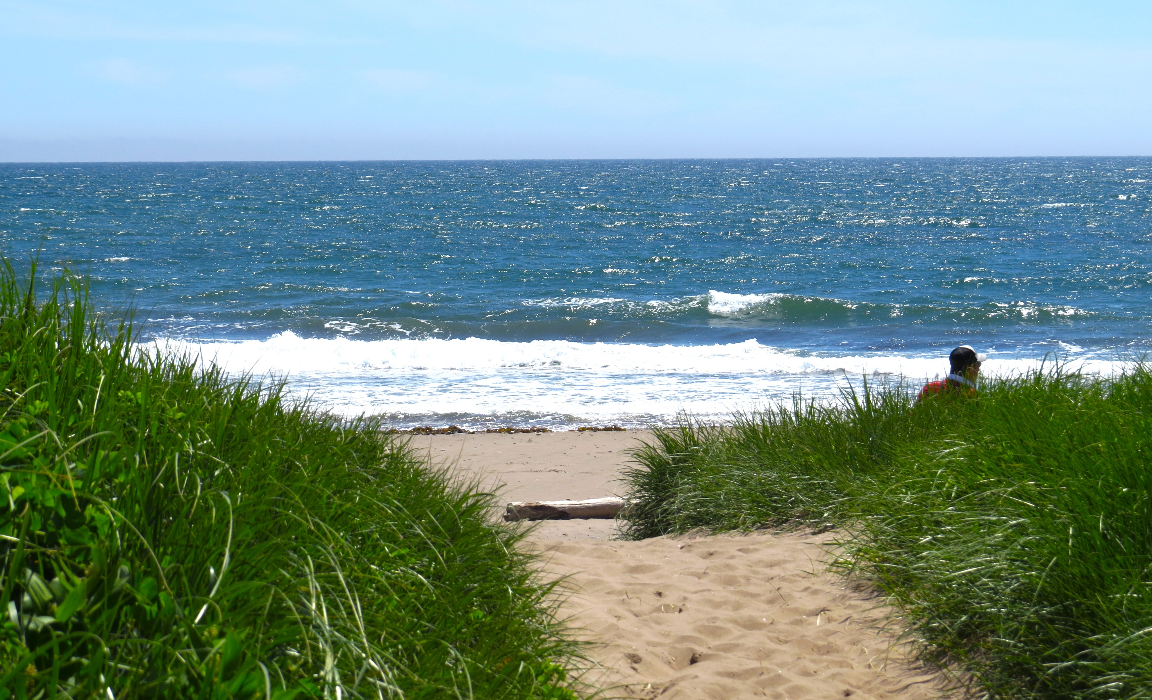
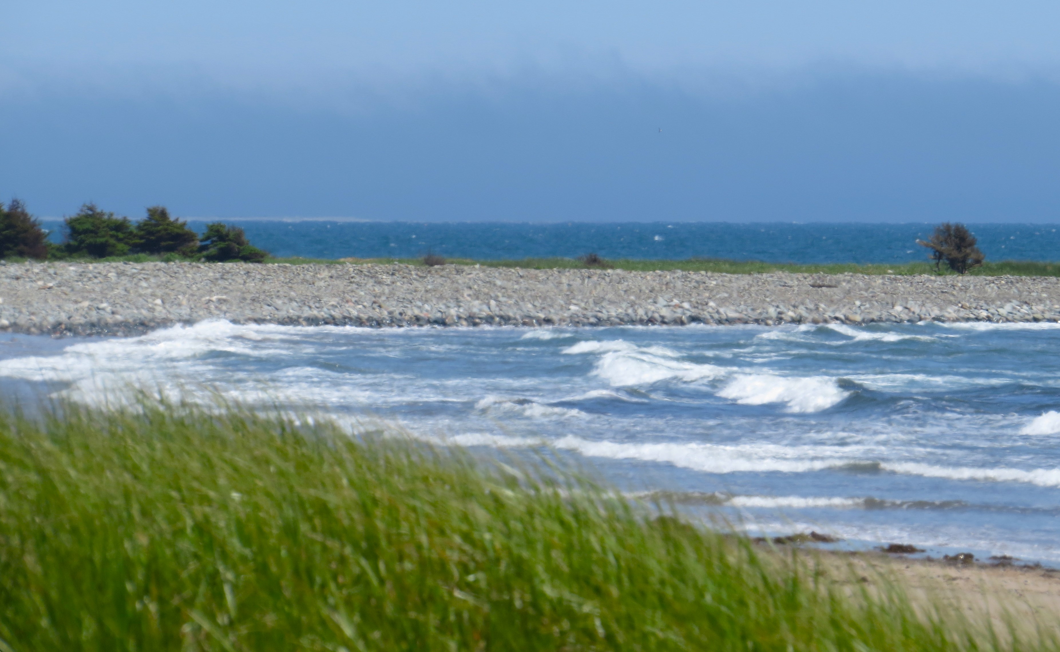
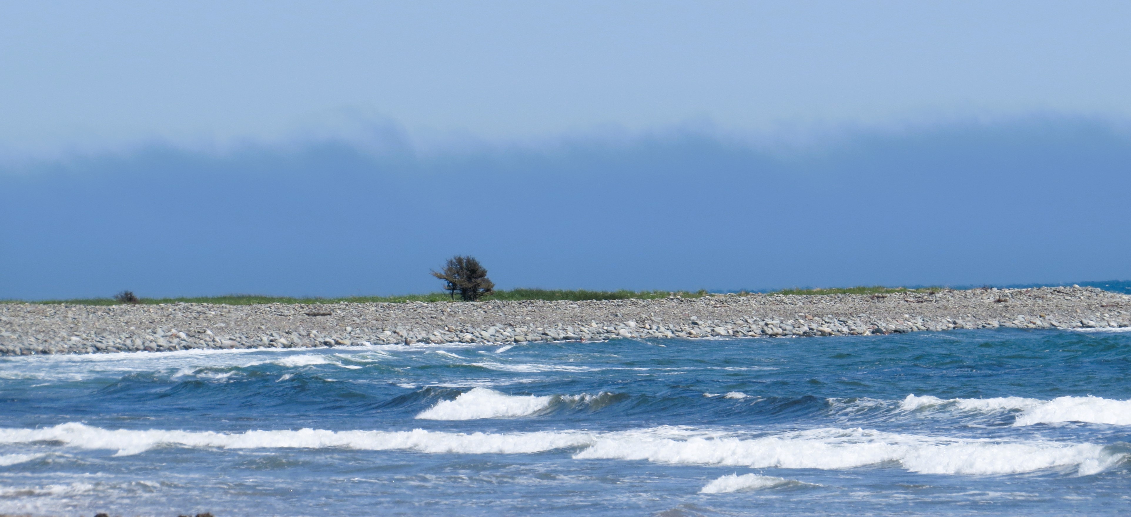
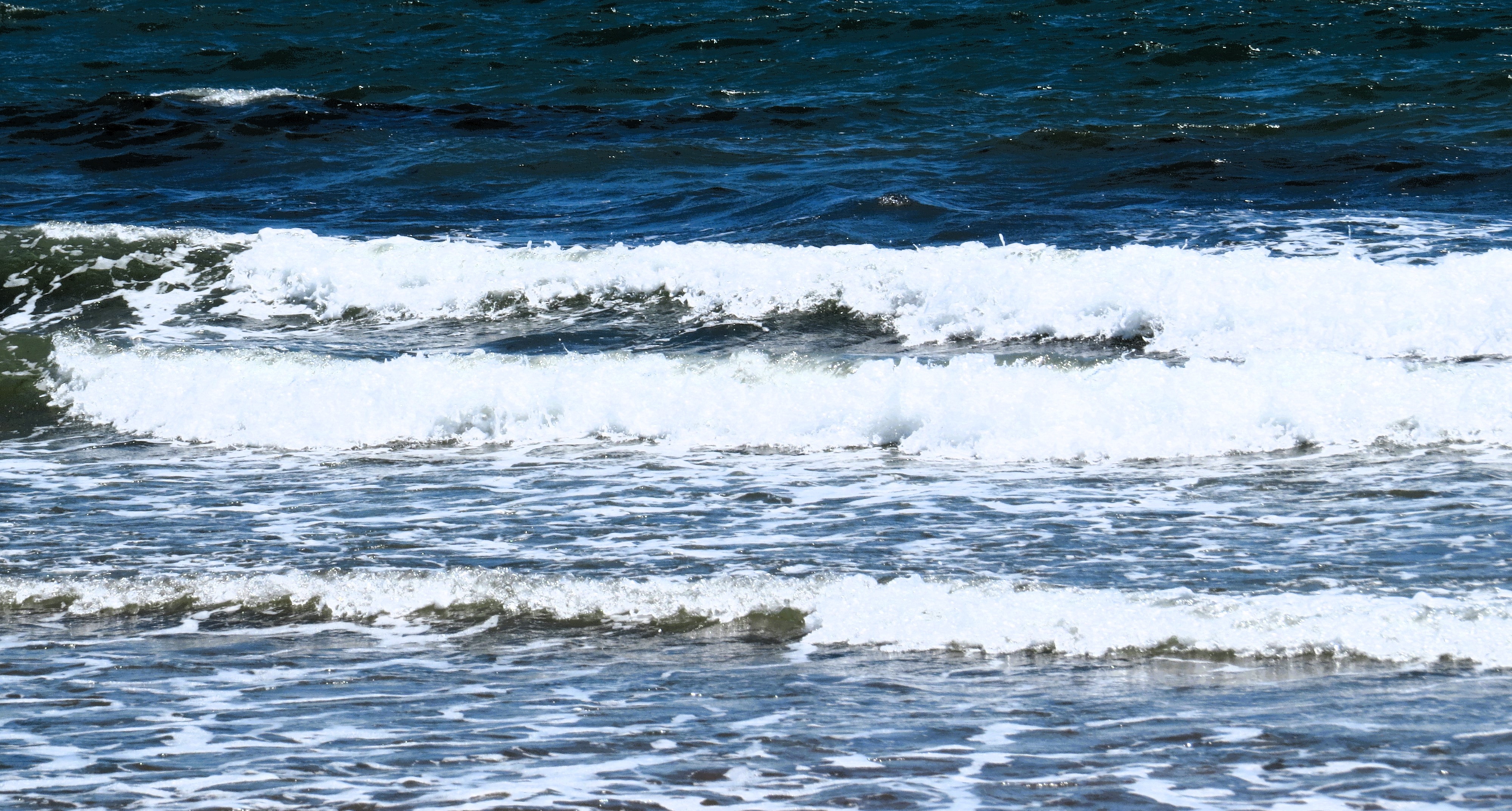
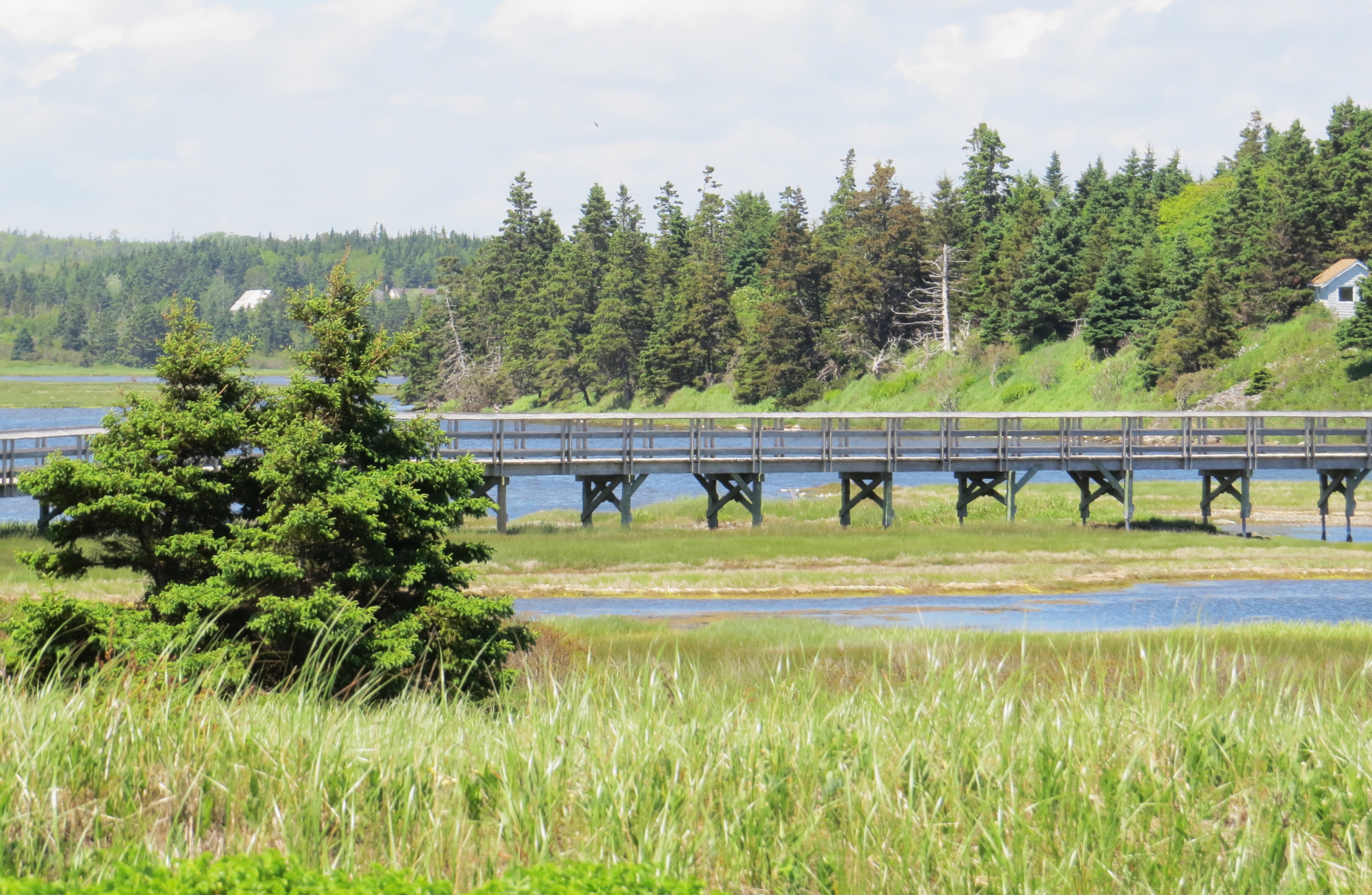
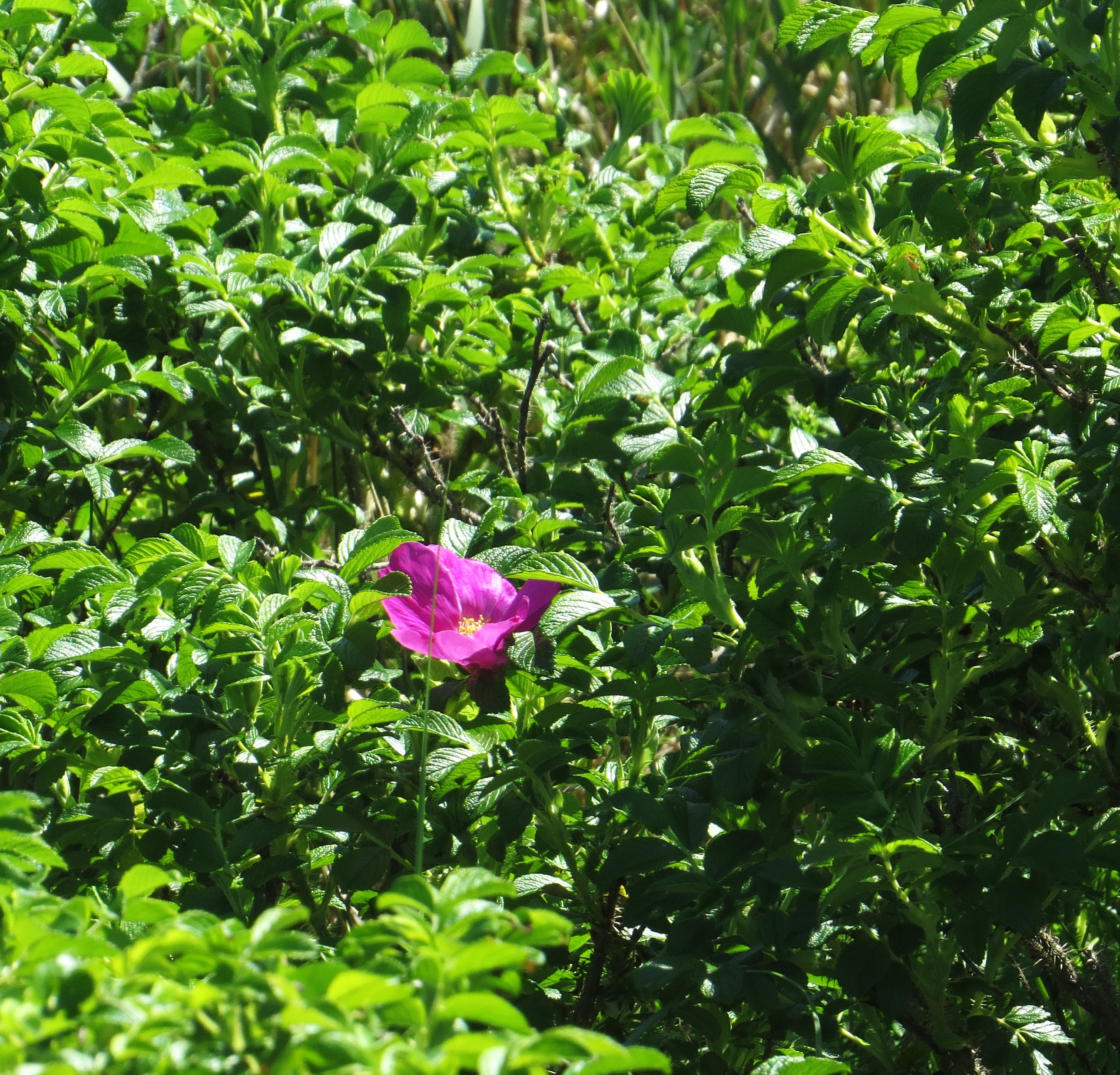
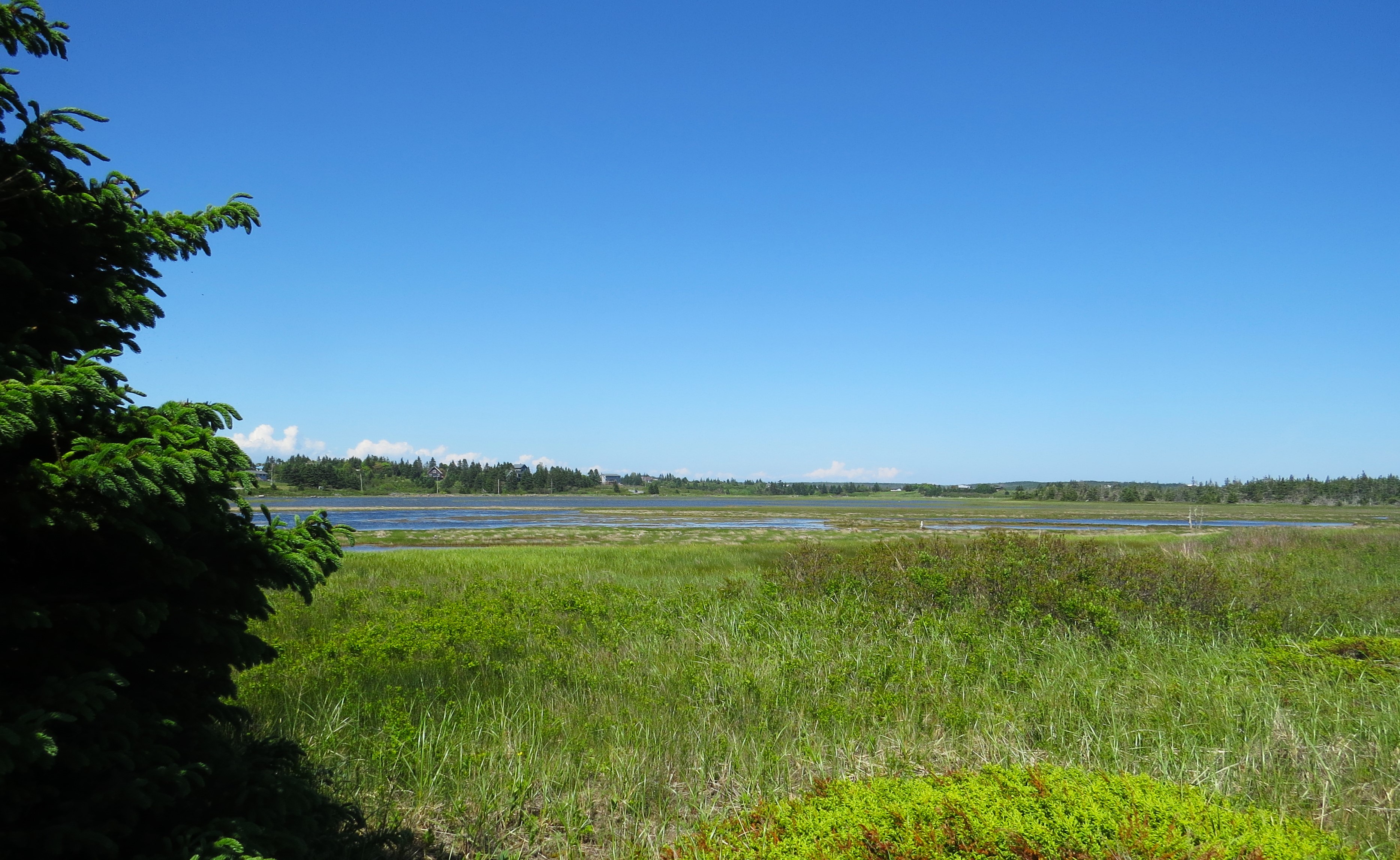
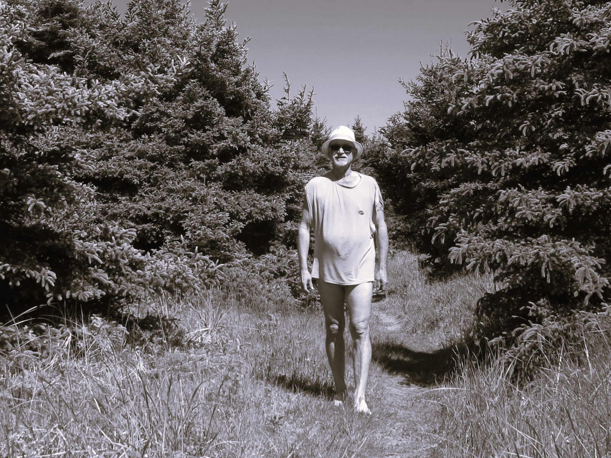
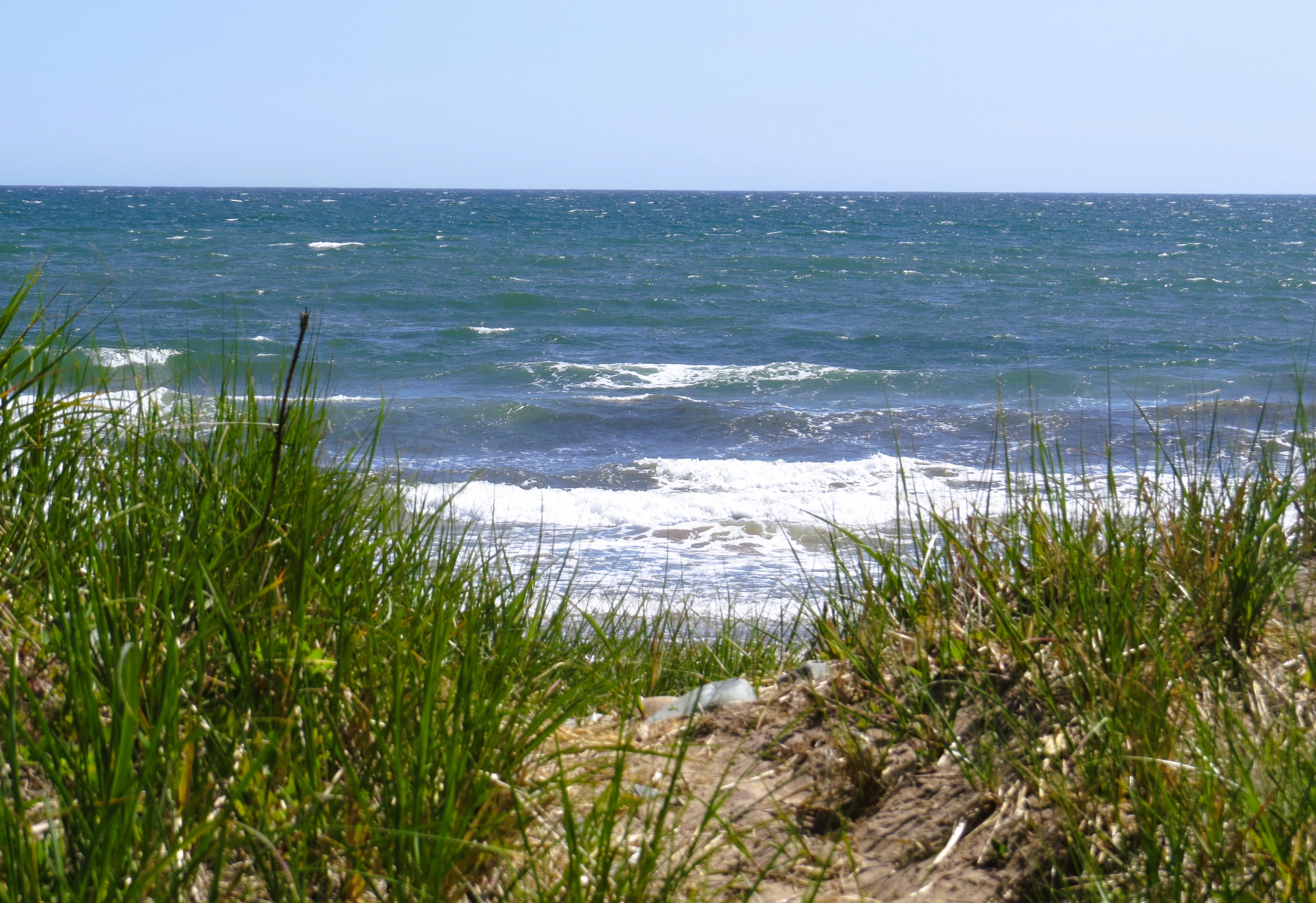
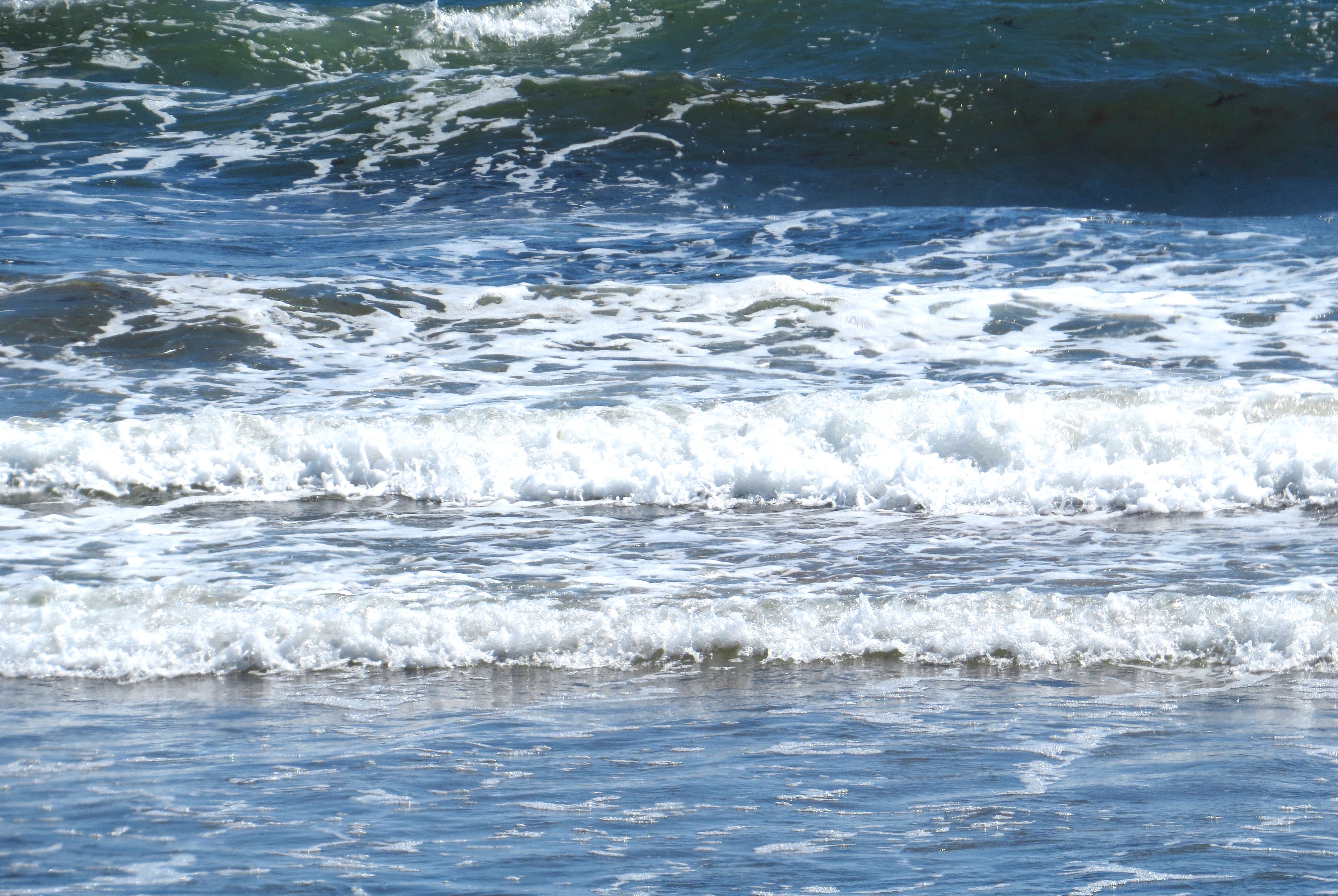
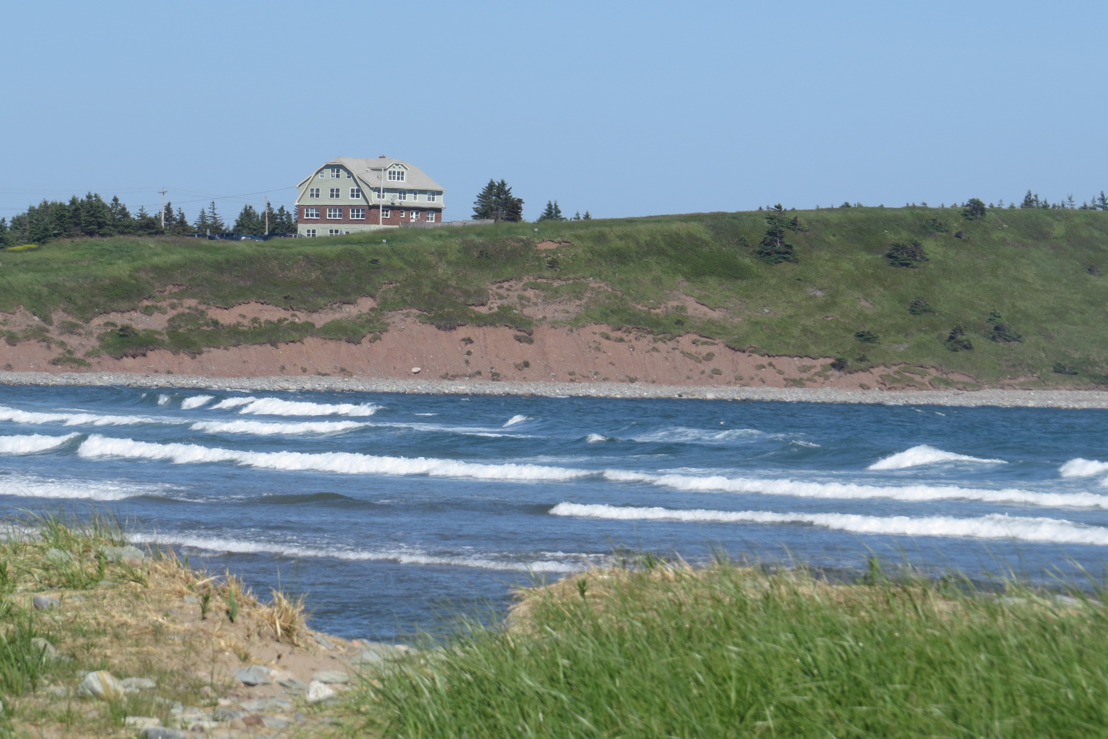
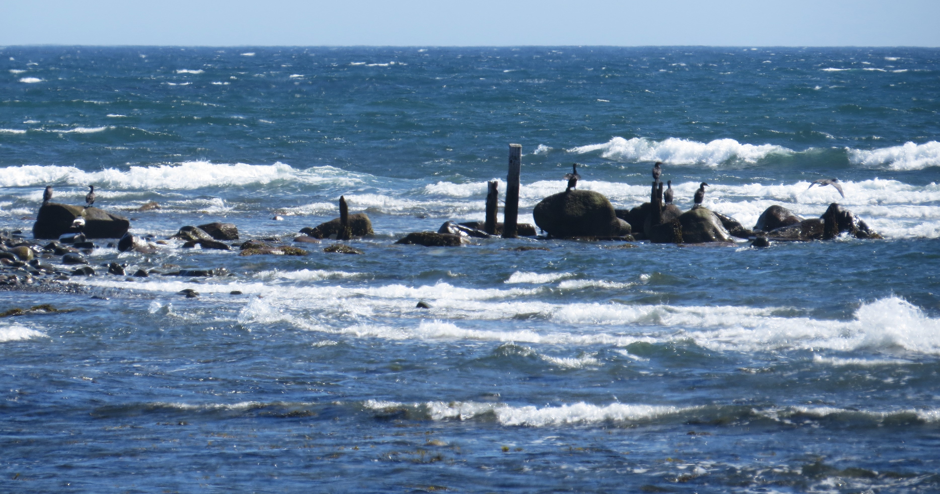
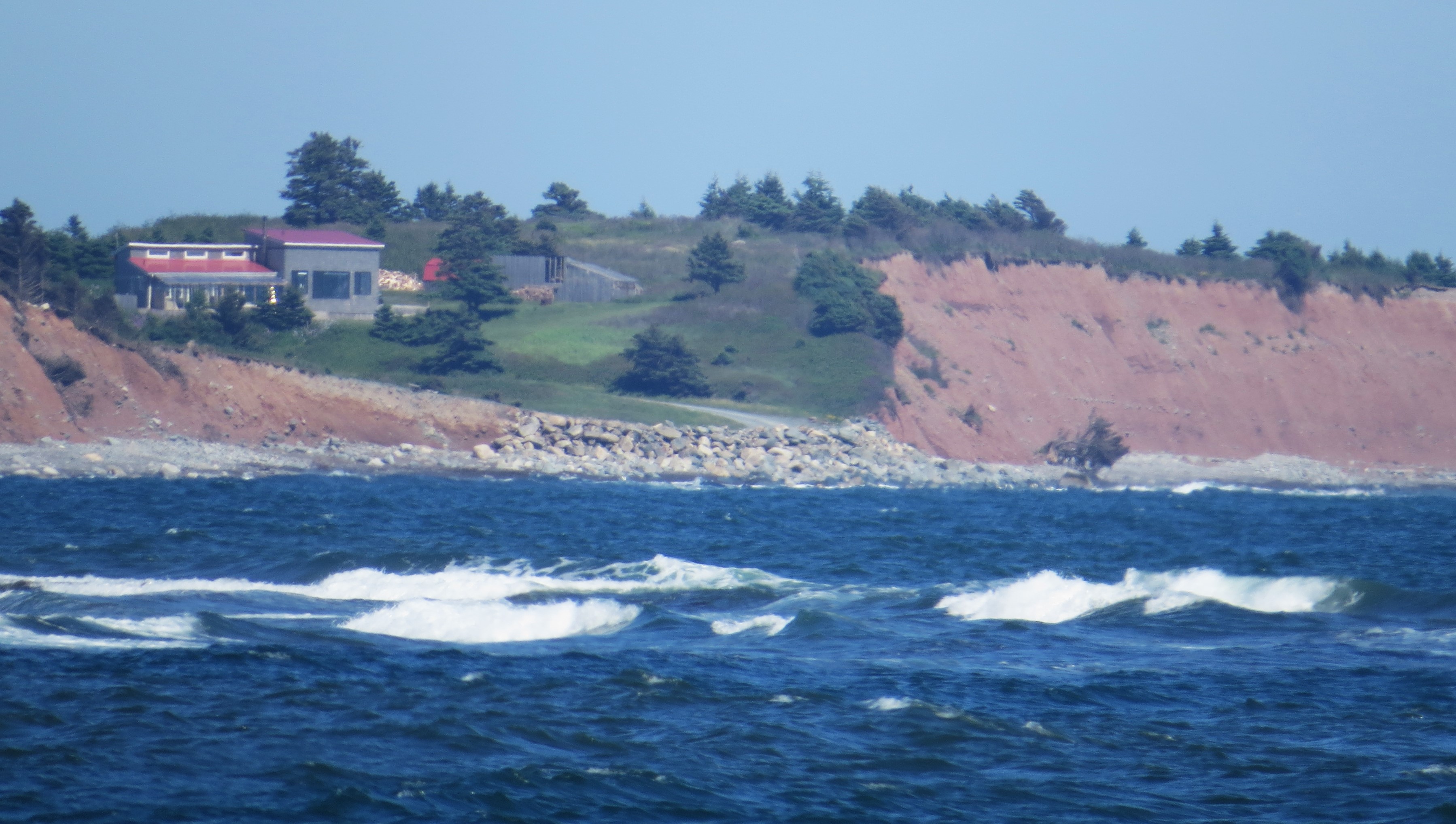
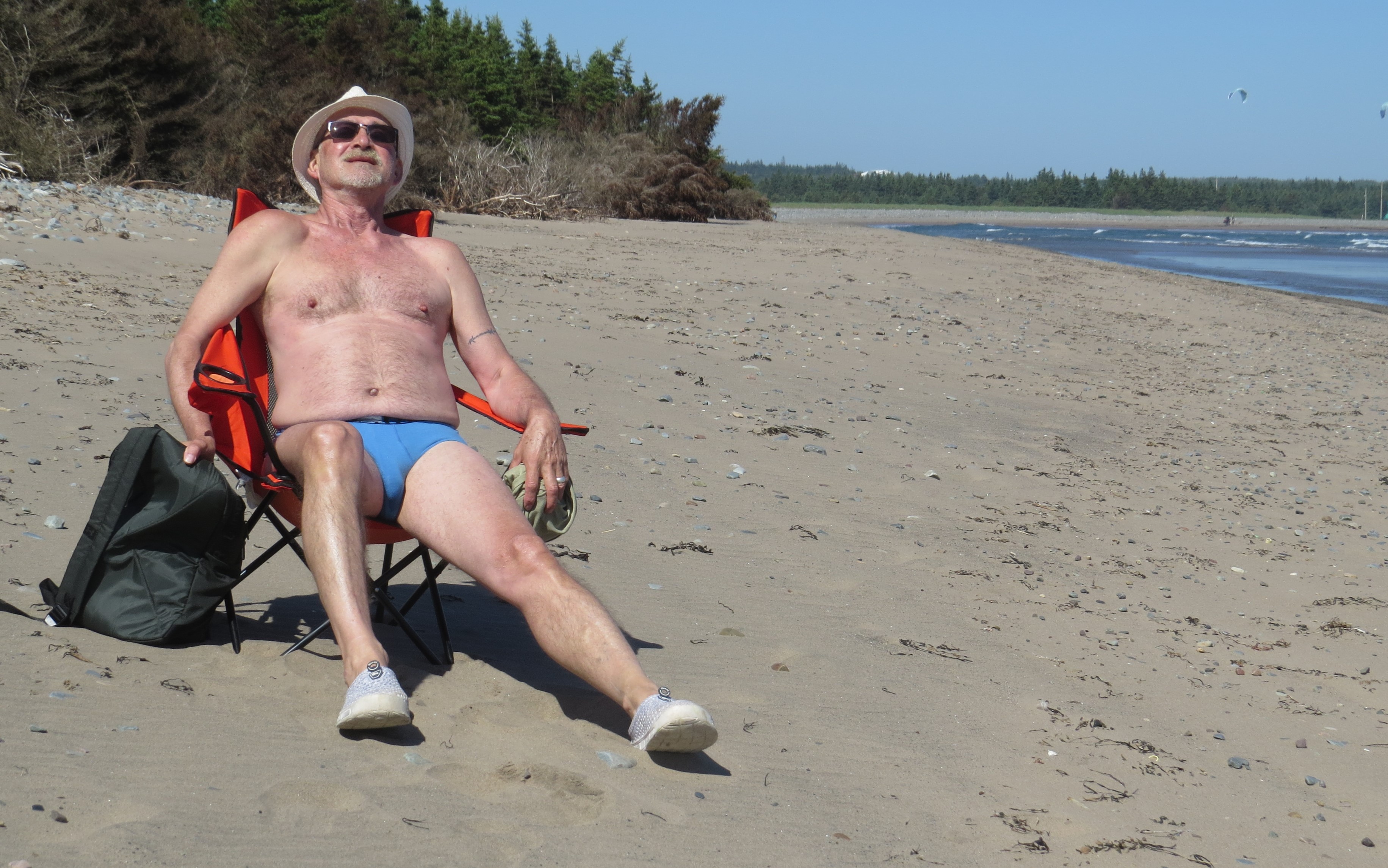
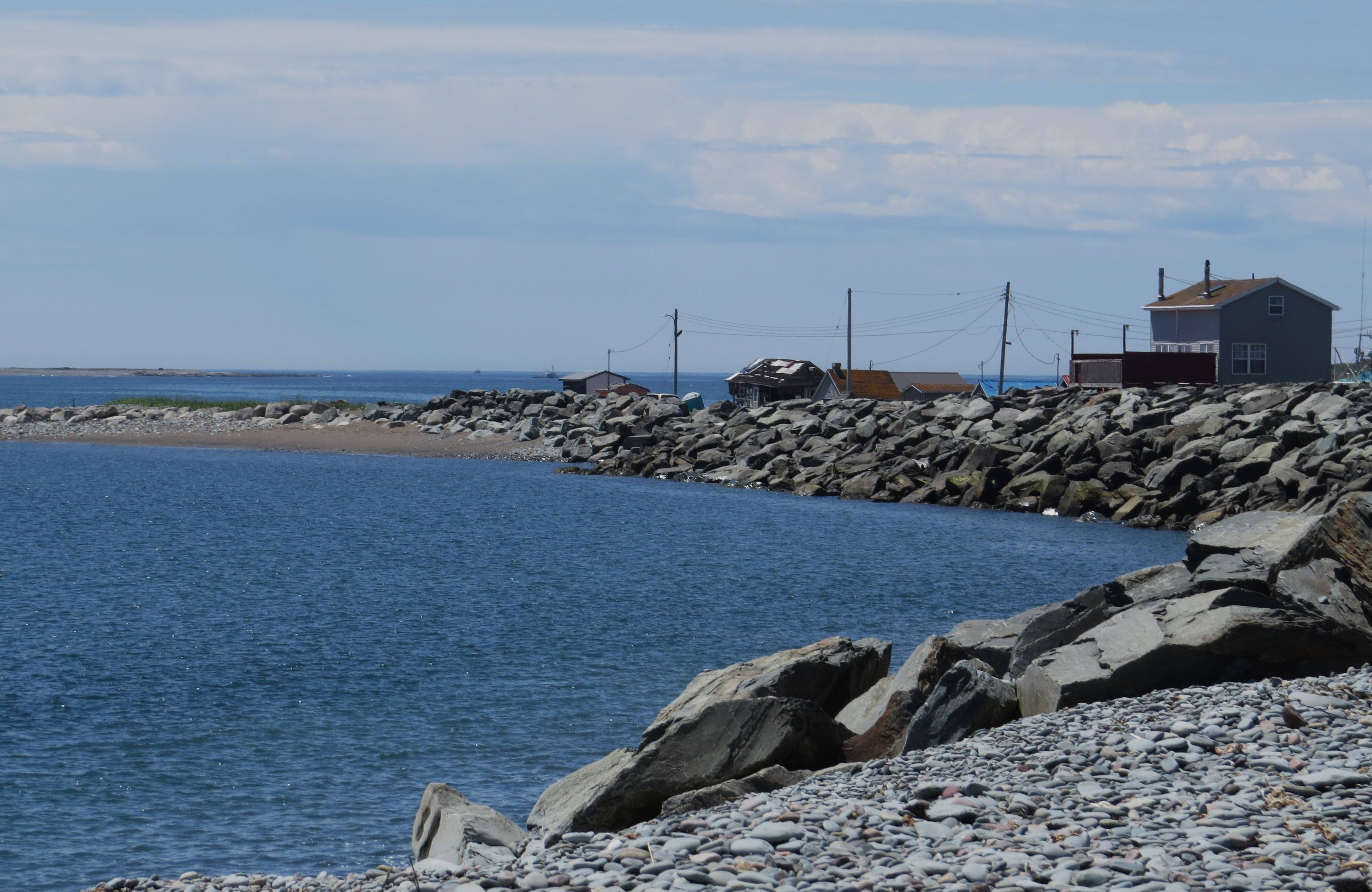
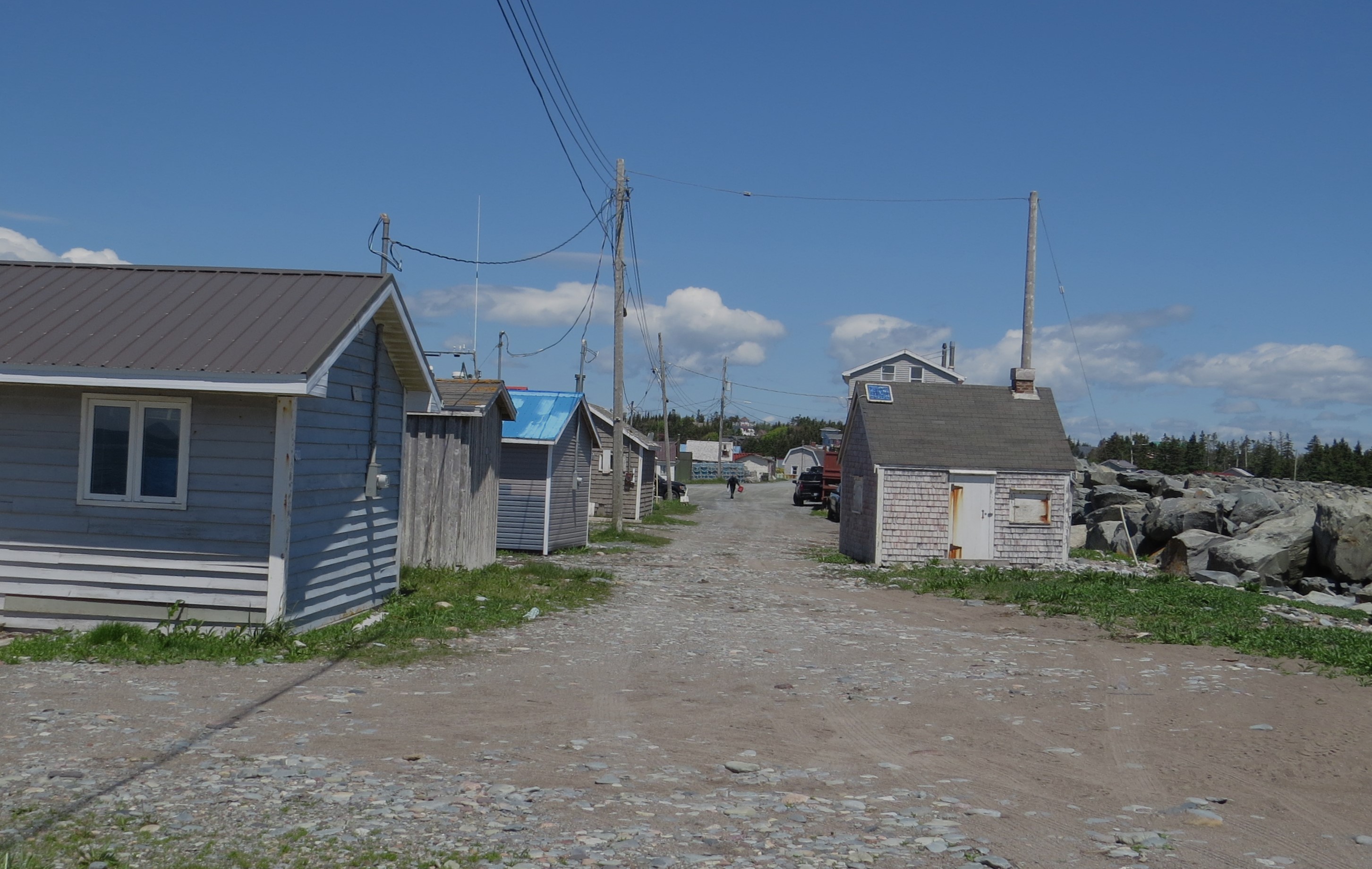
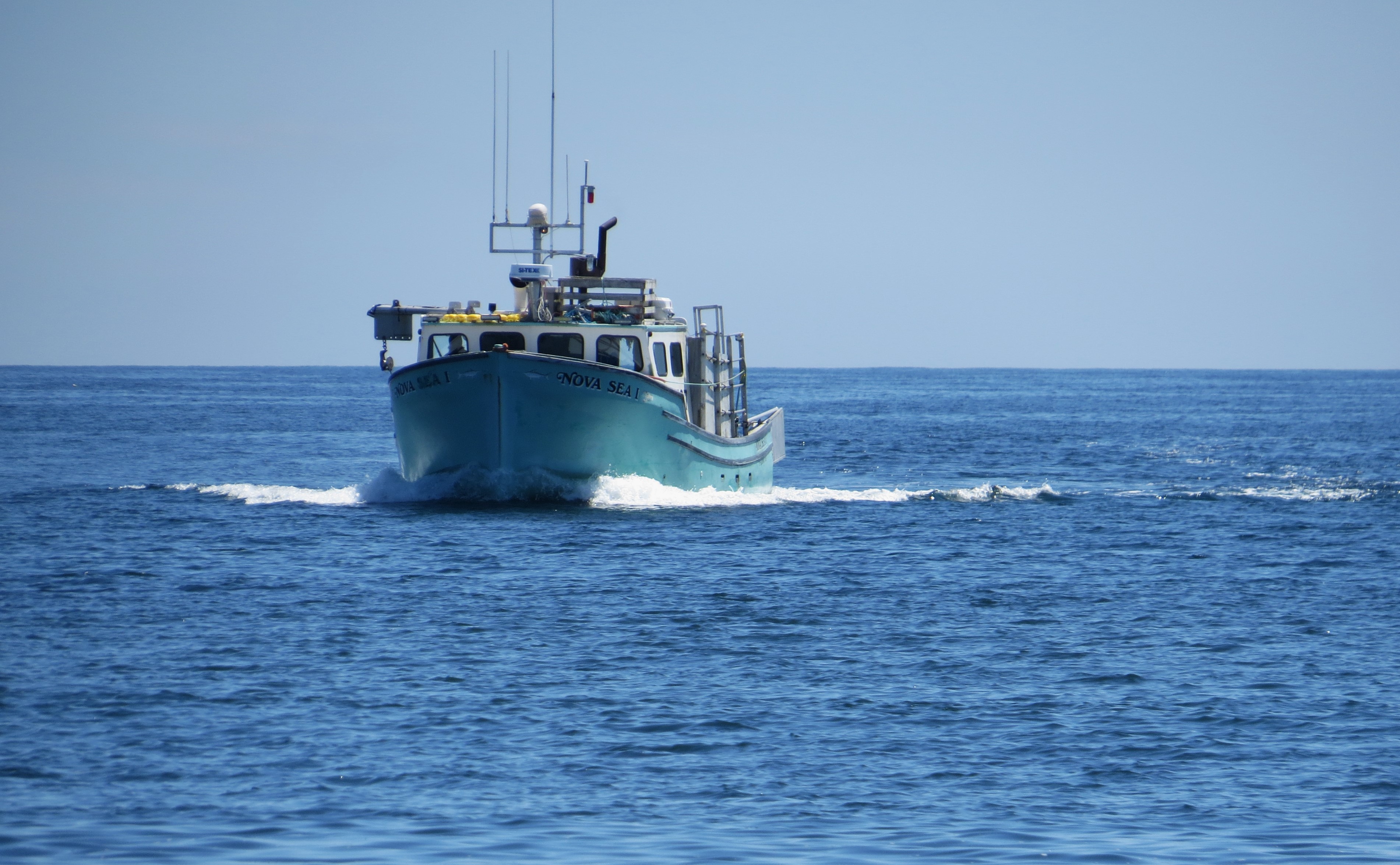
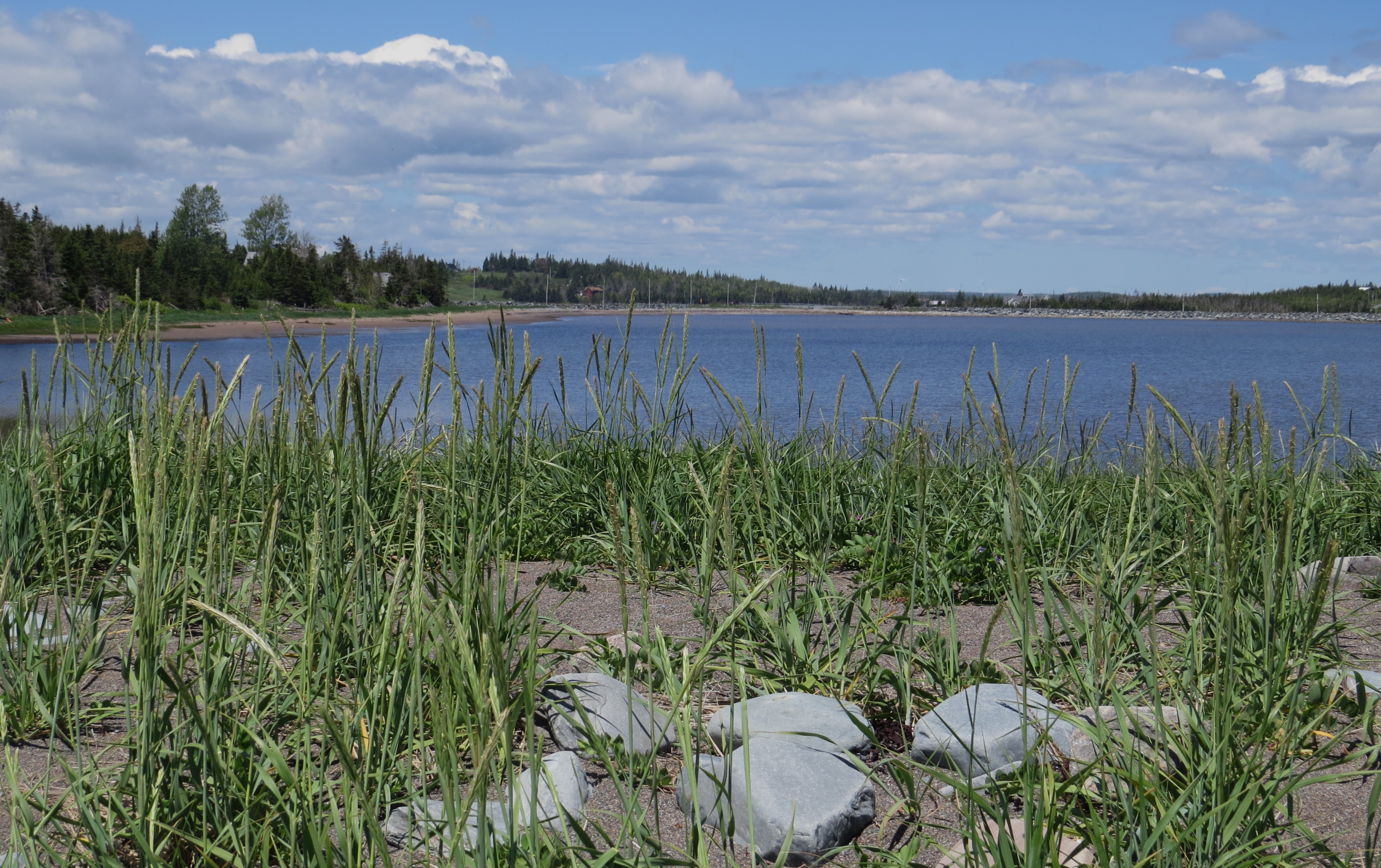
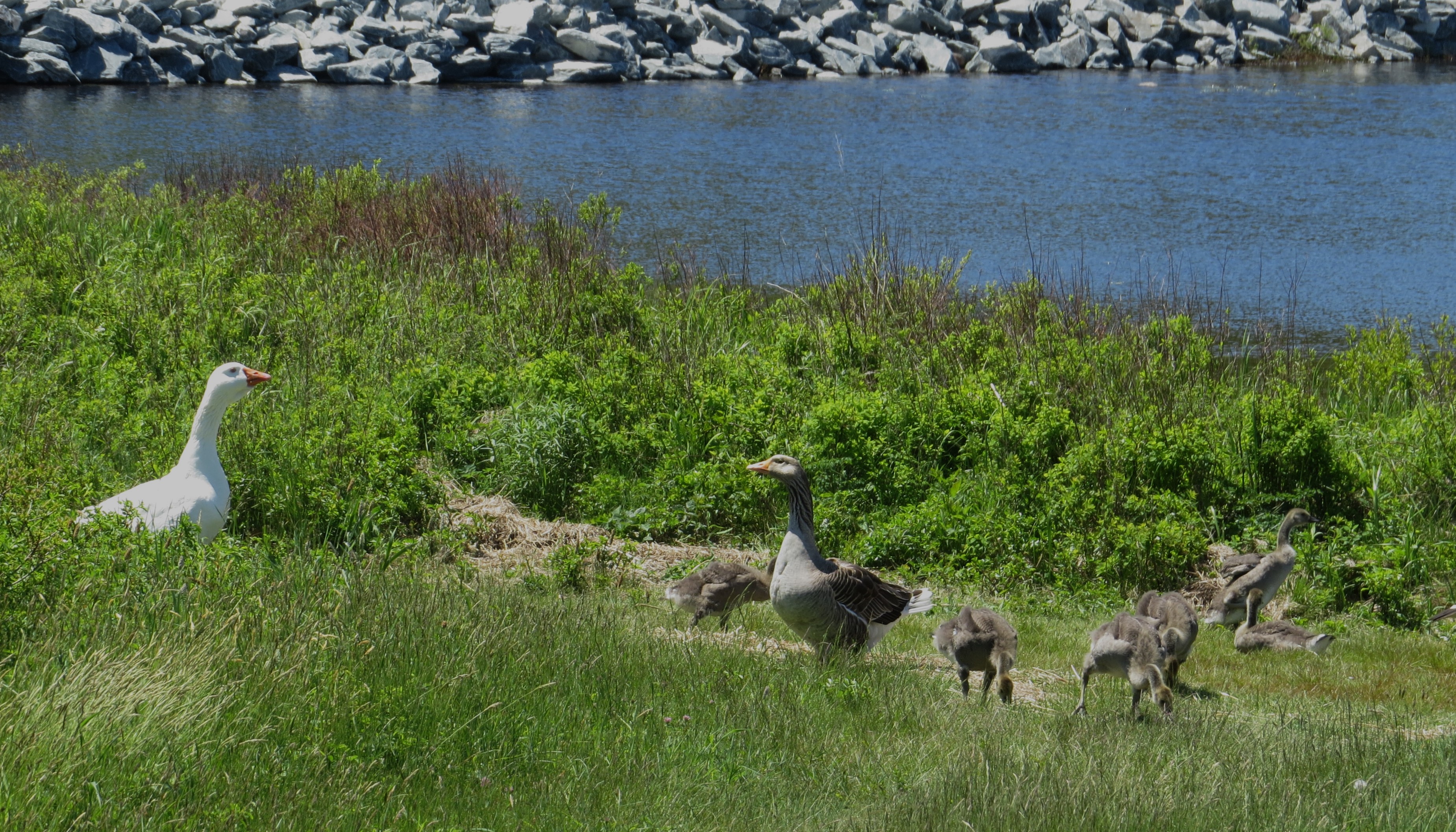
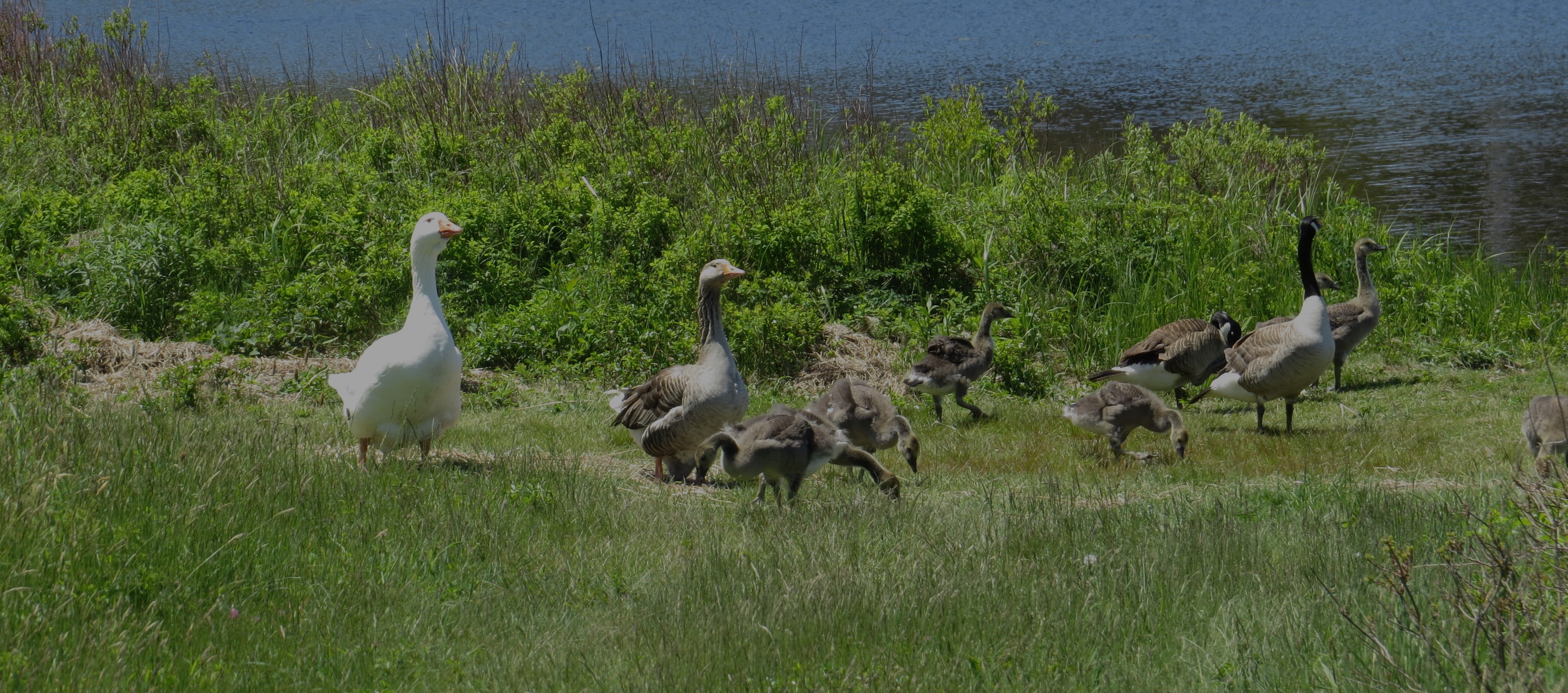
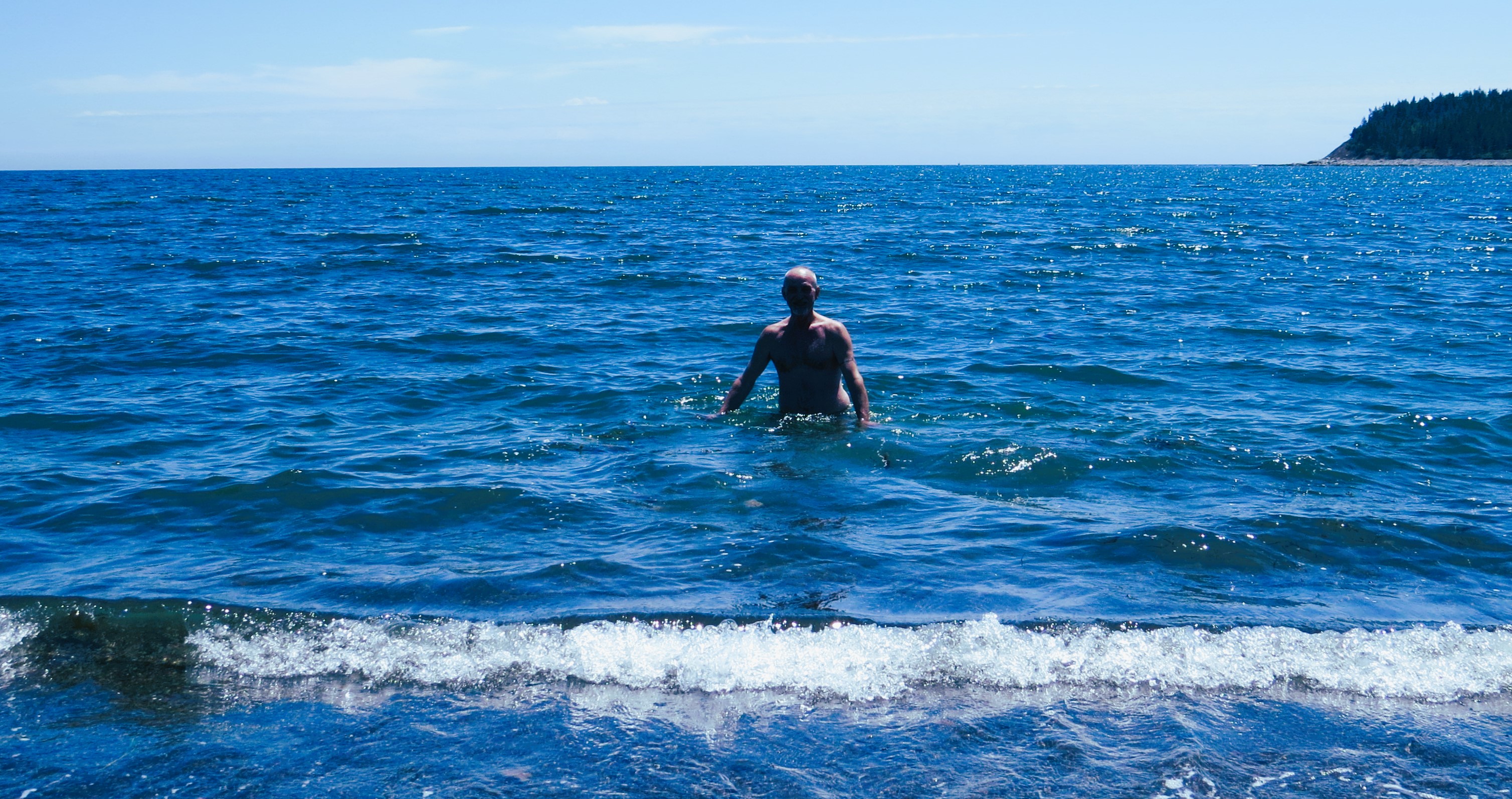
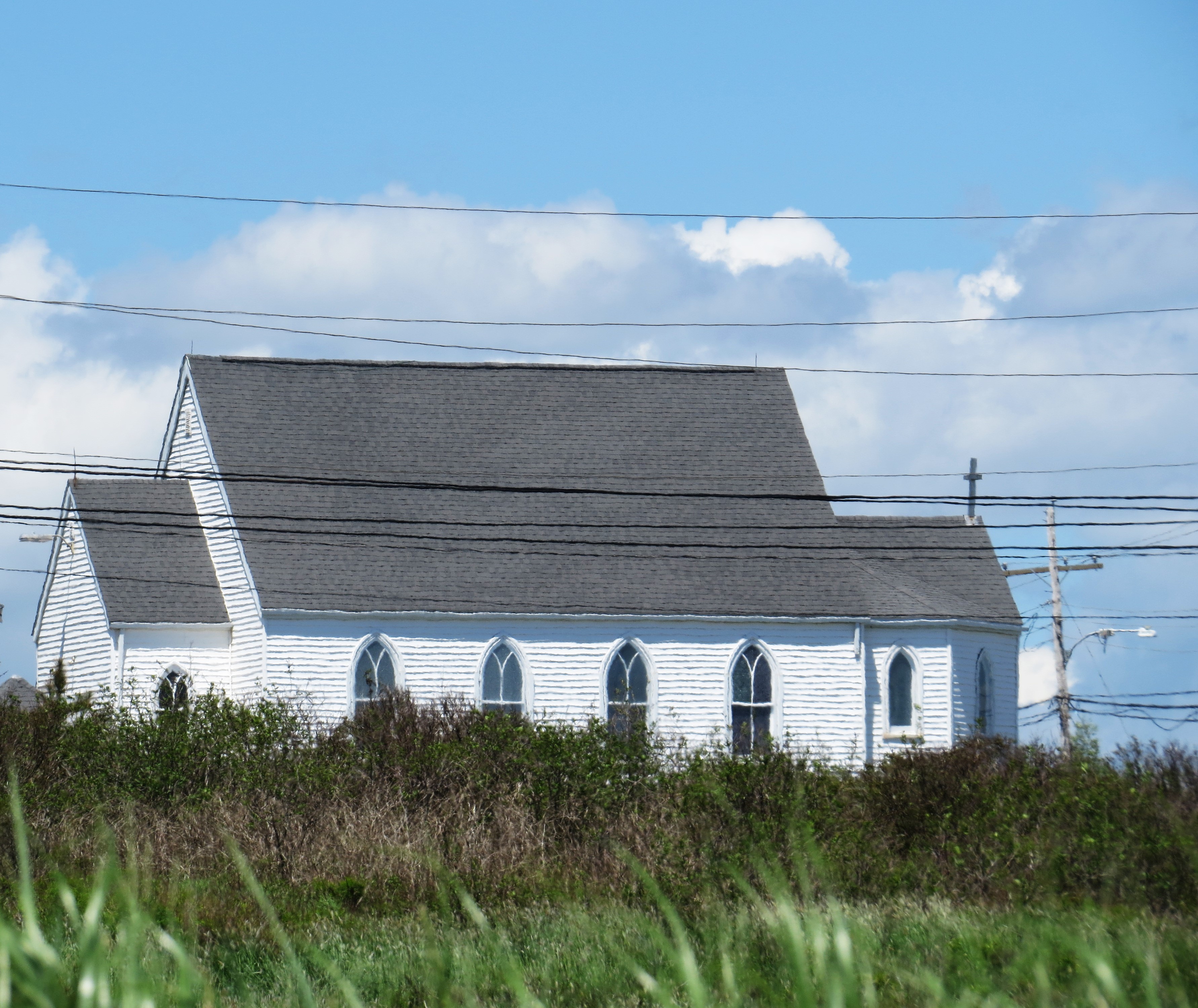
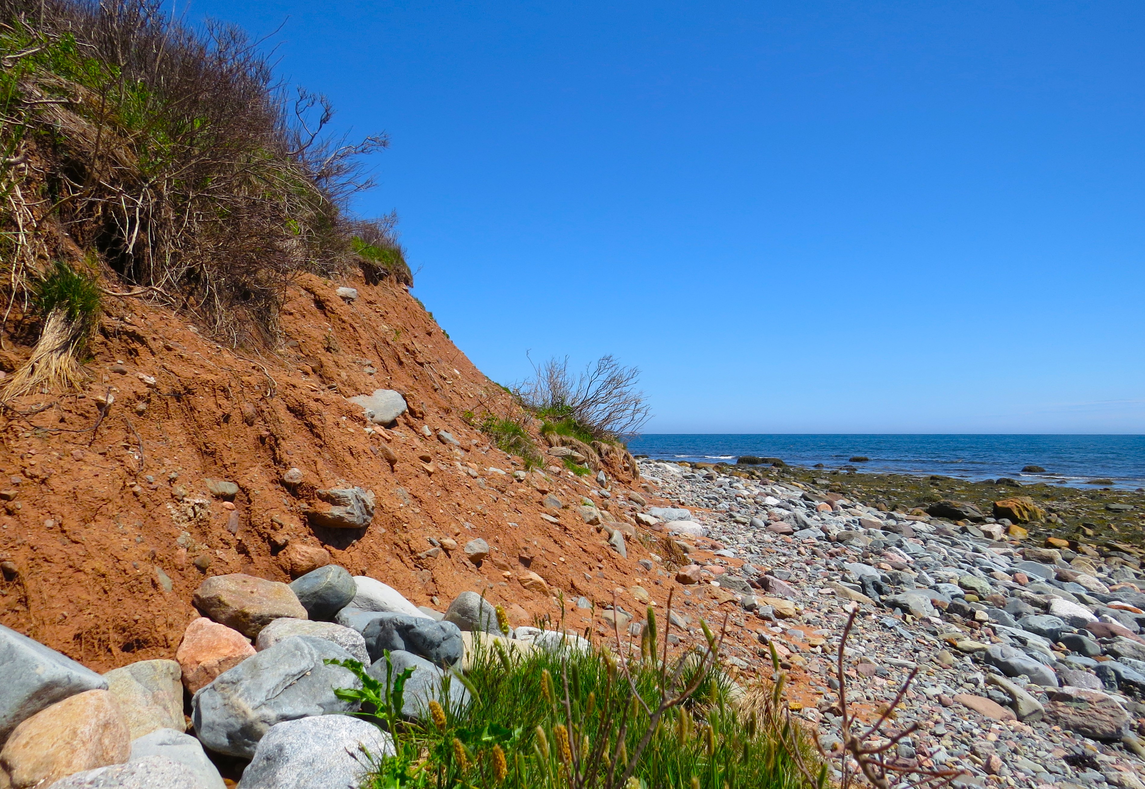
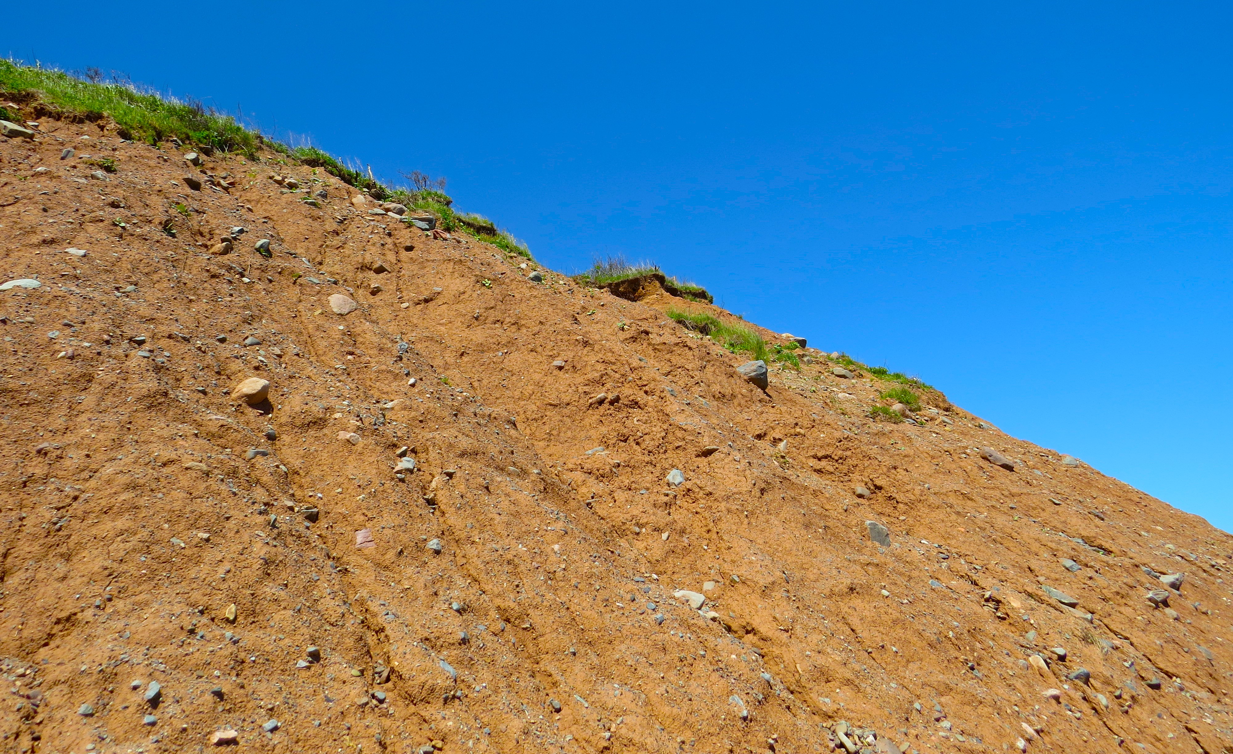
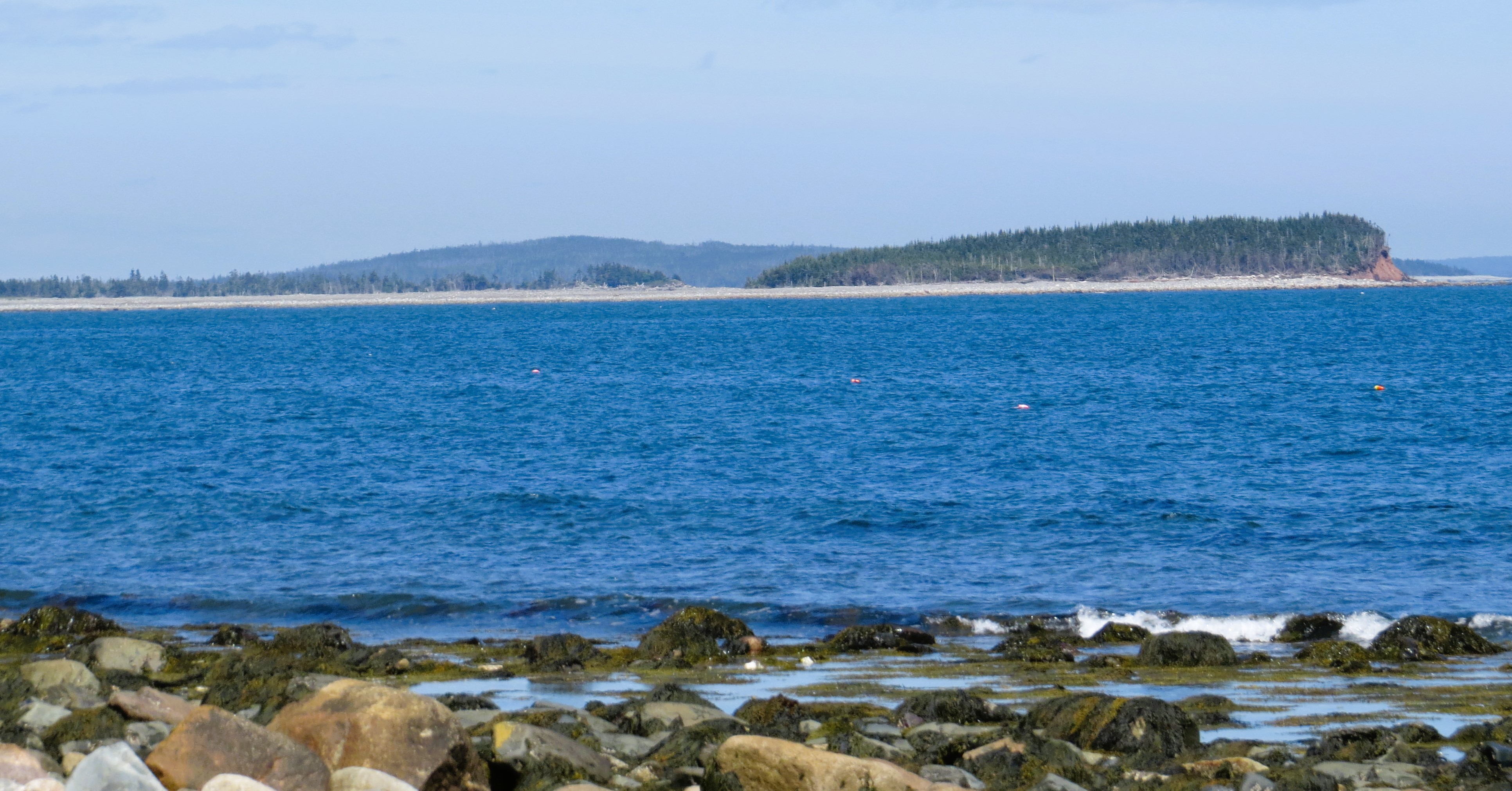
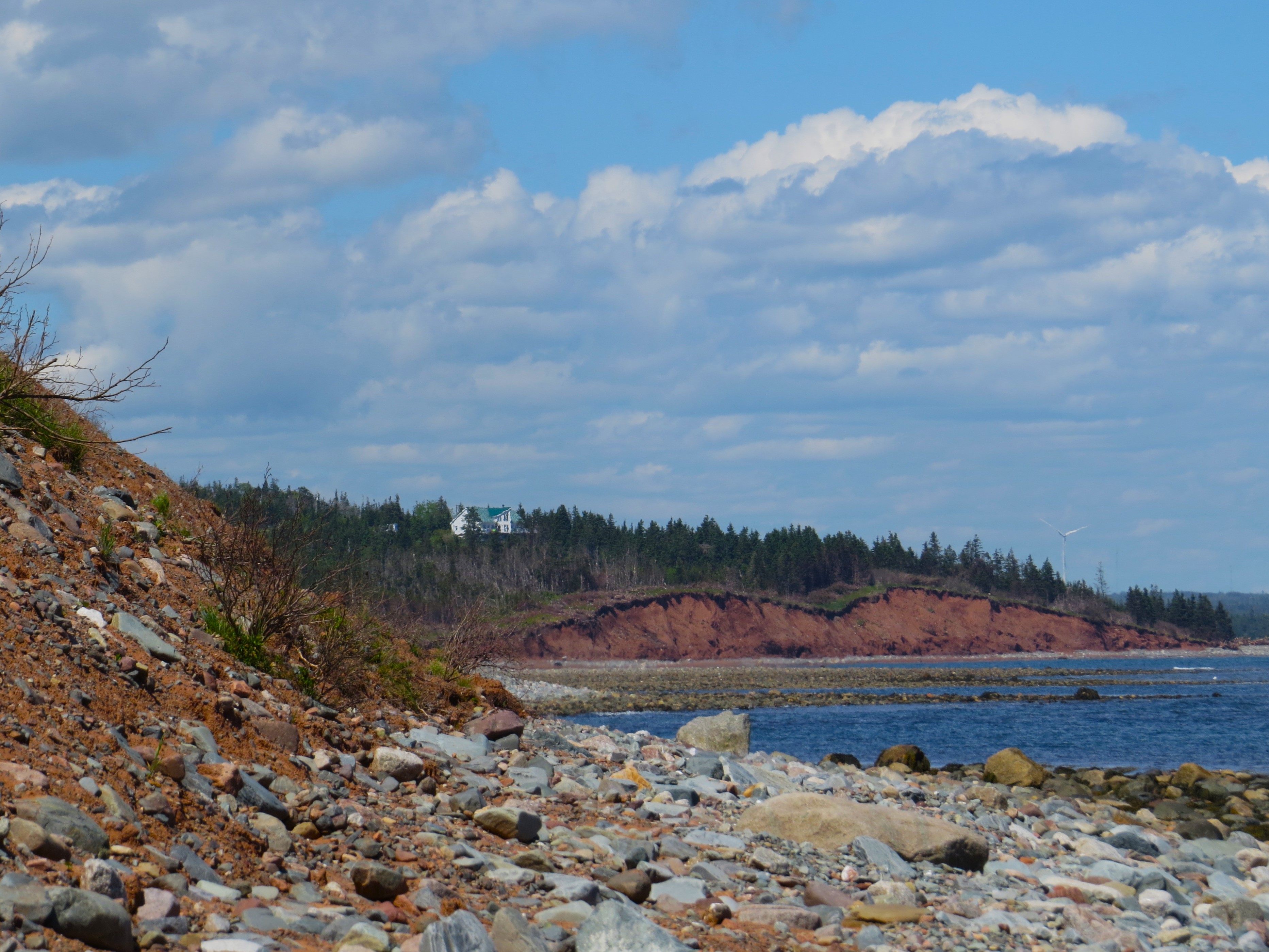
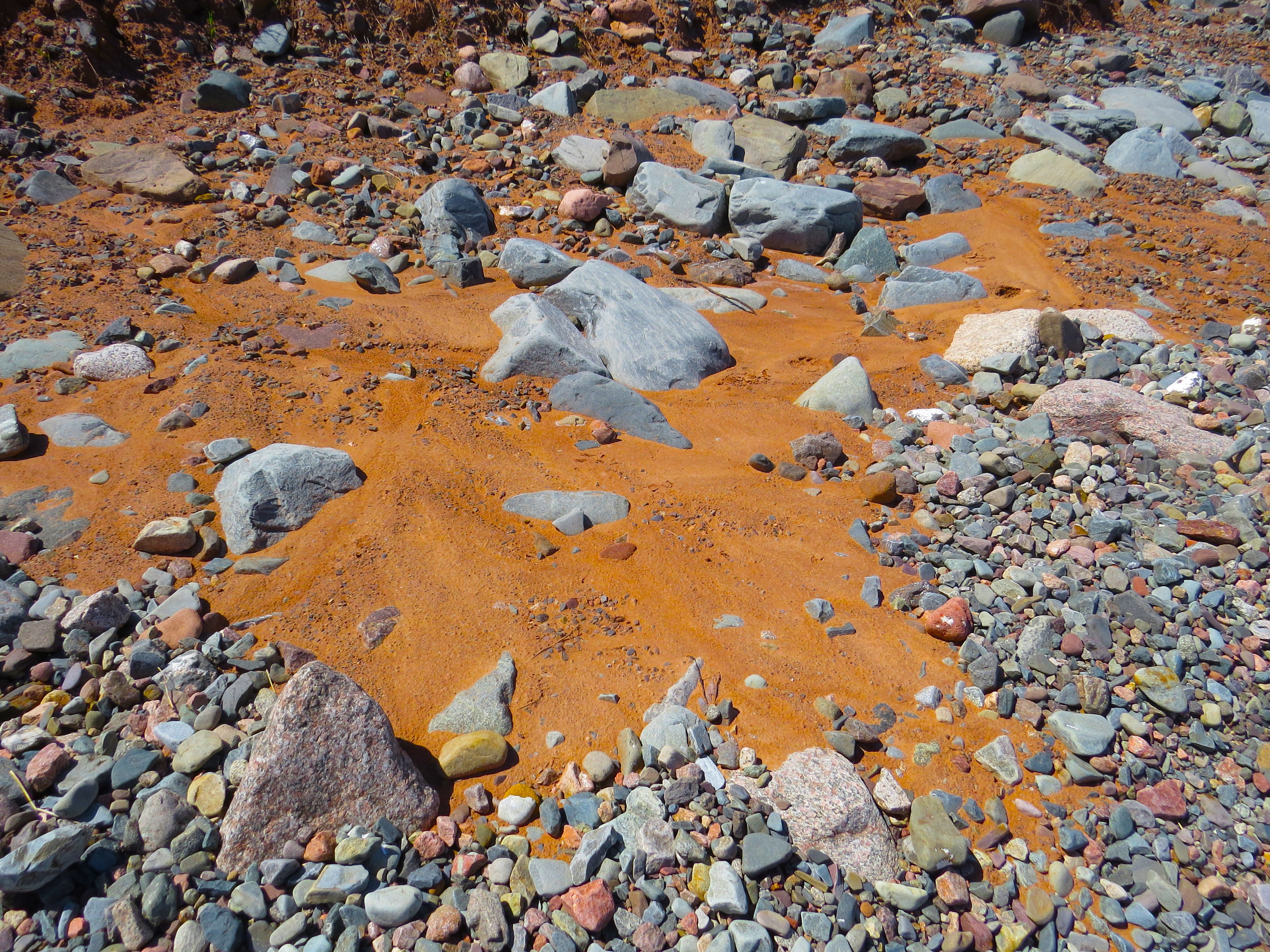
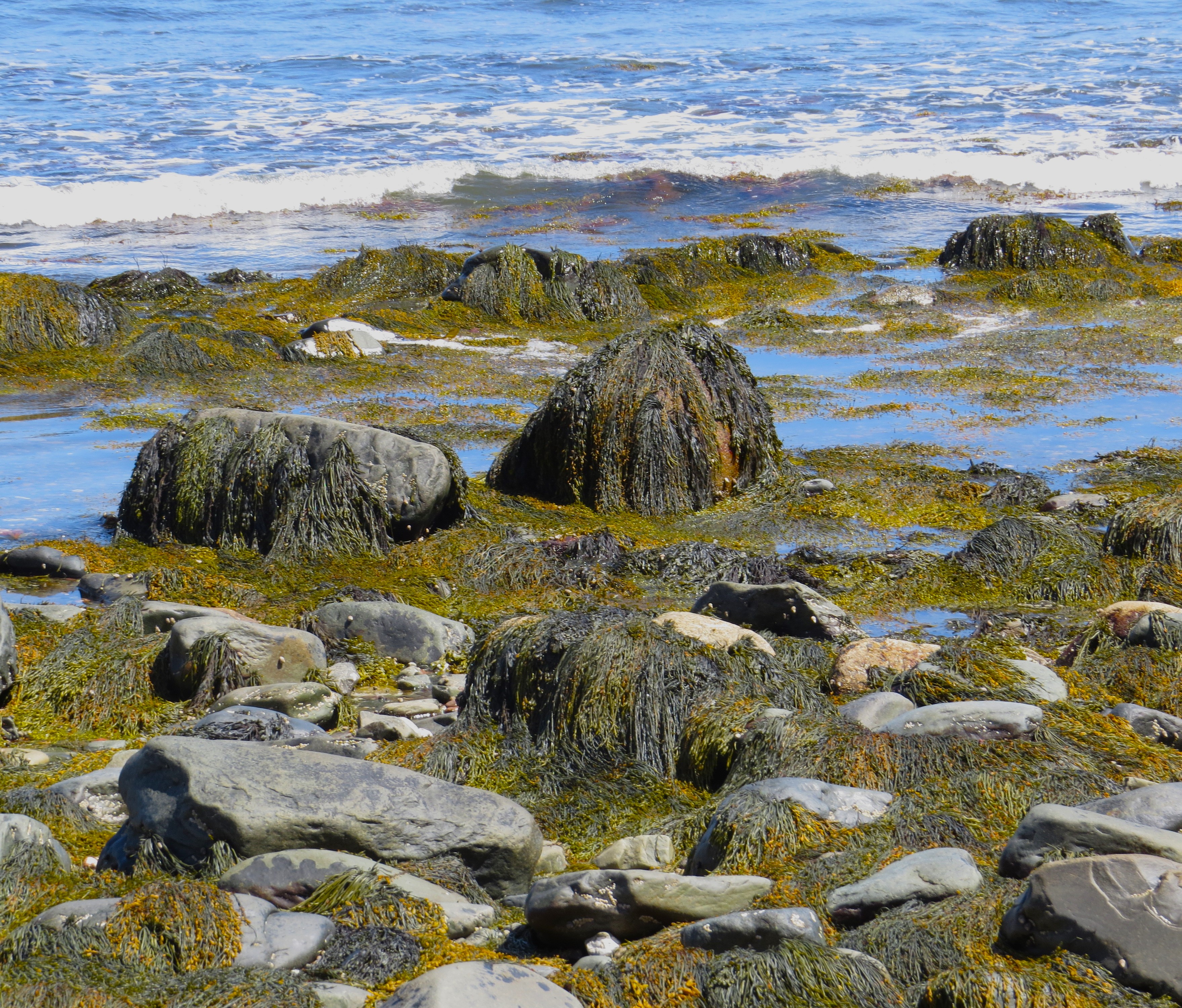
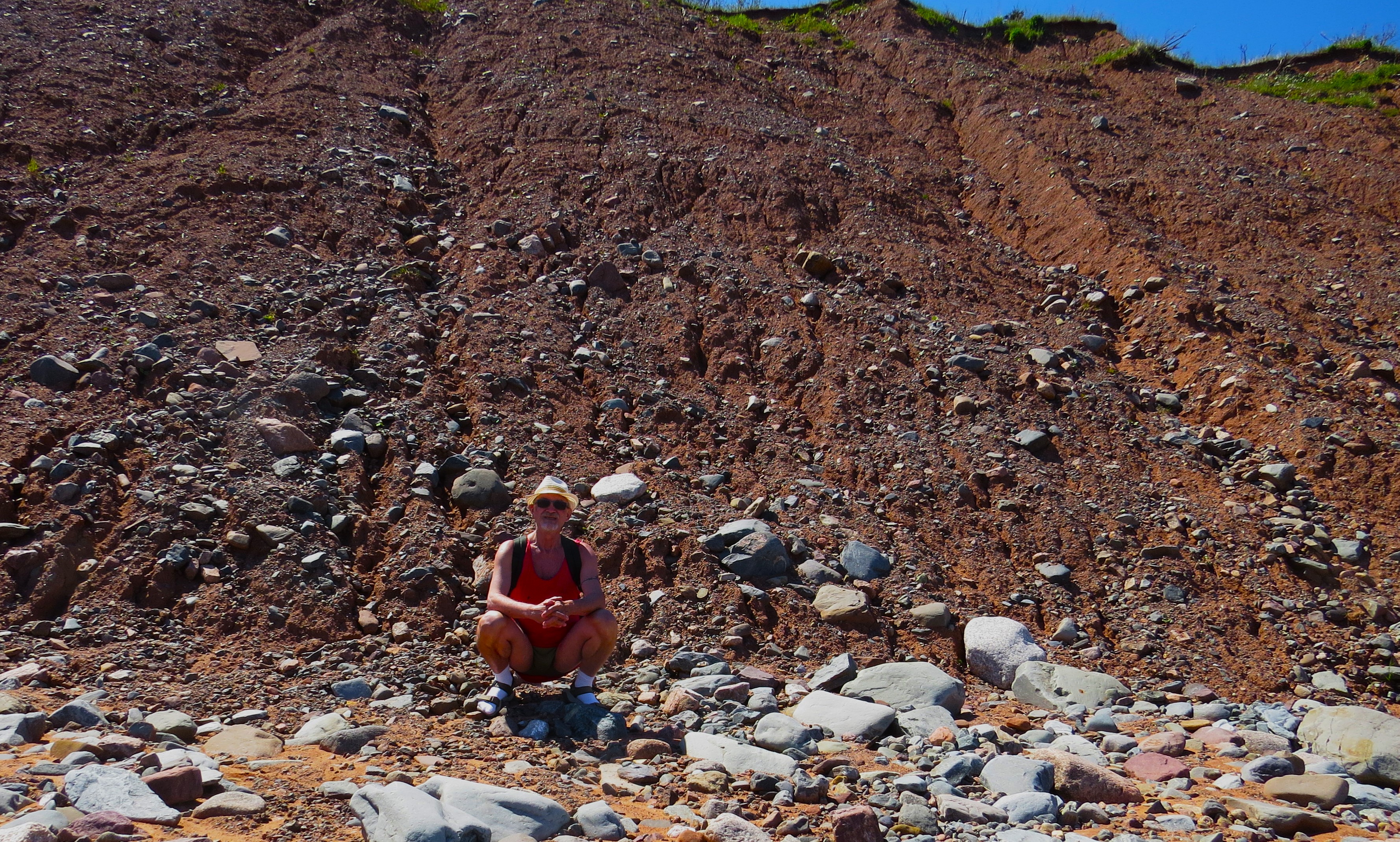
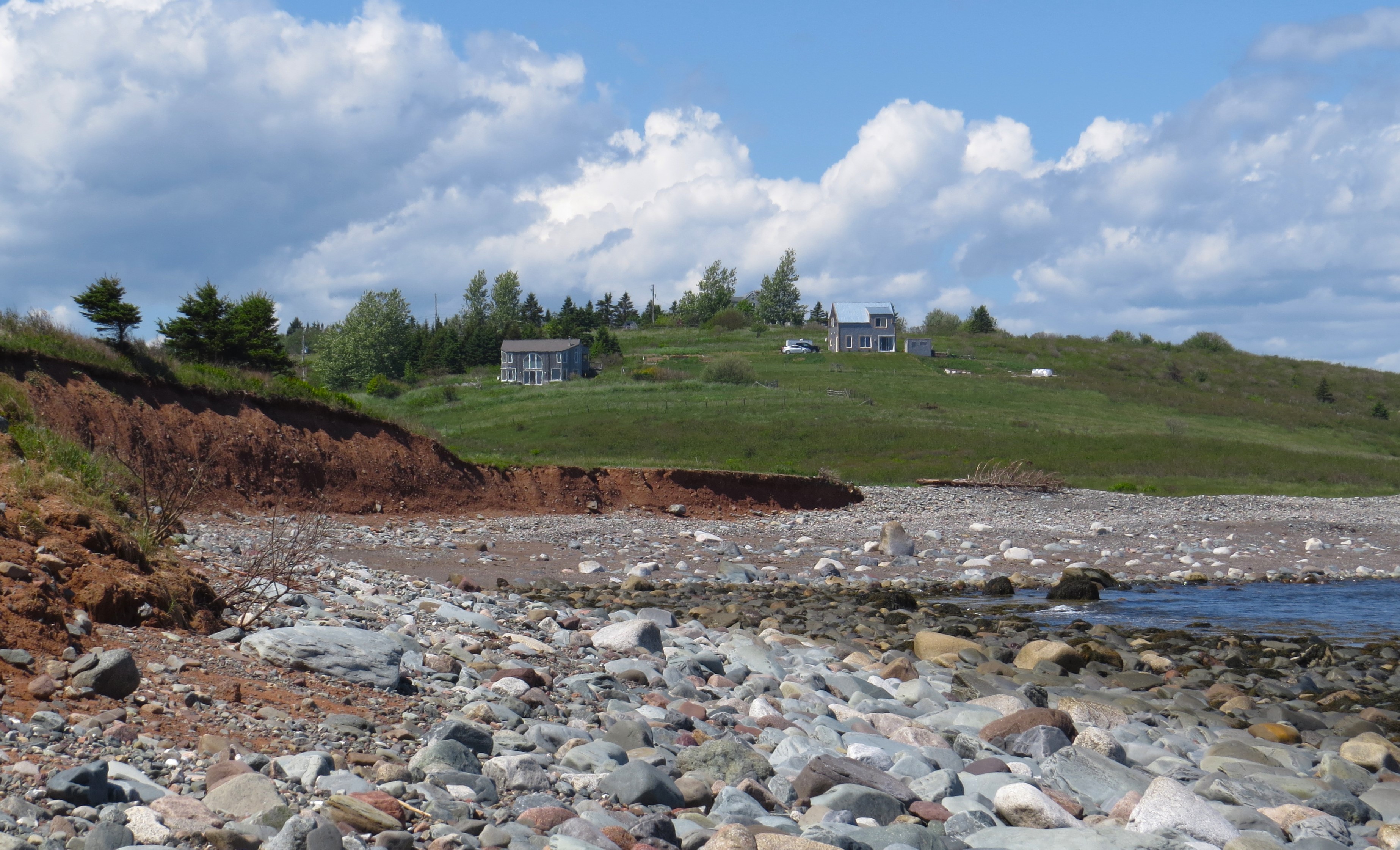
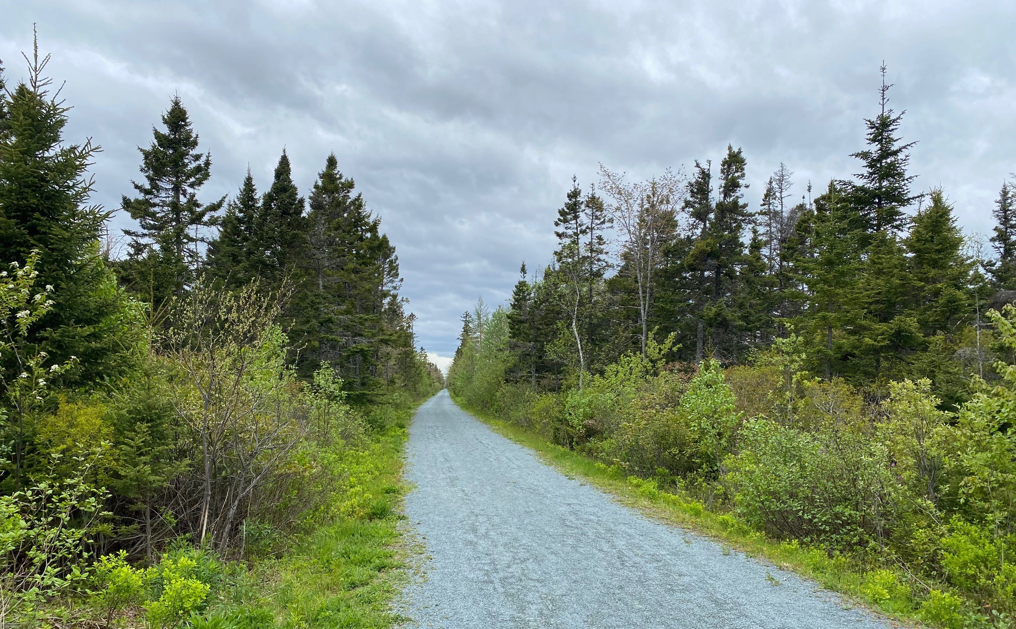
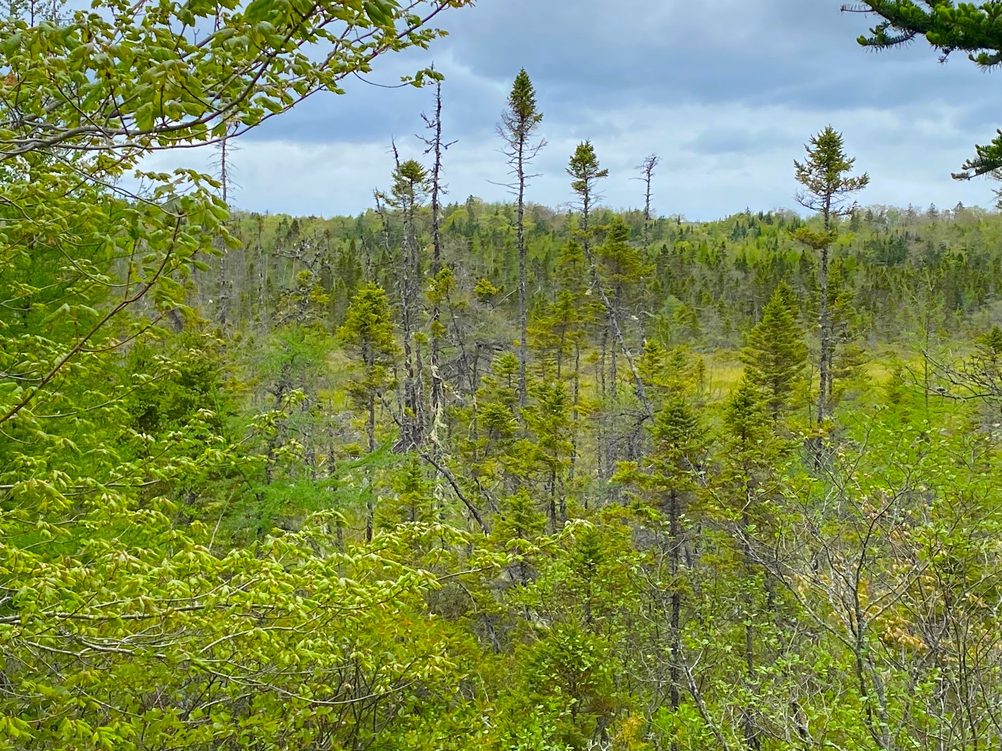
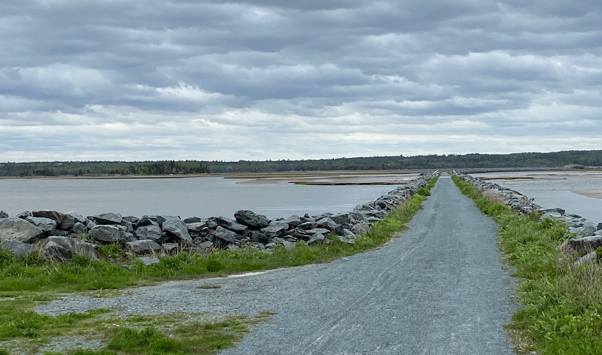
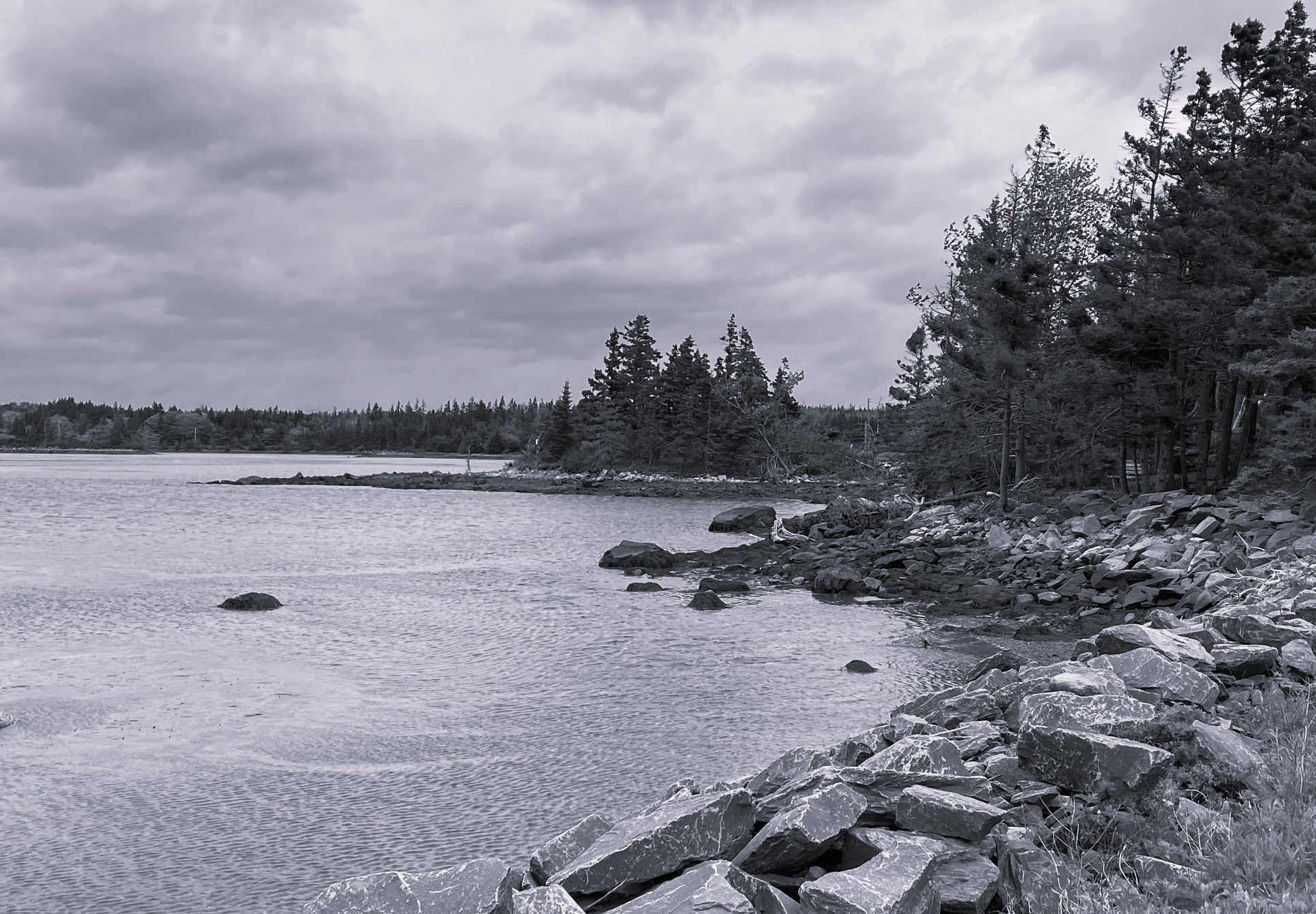
There was a lot of photographs here of the beauty and wilderness of Nova Scotia beaches on Atlantic shores.

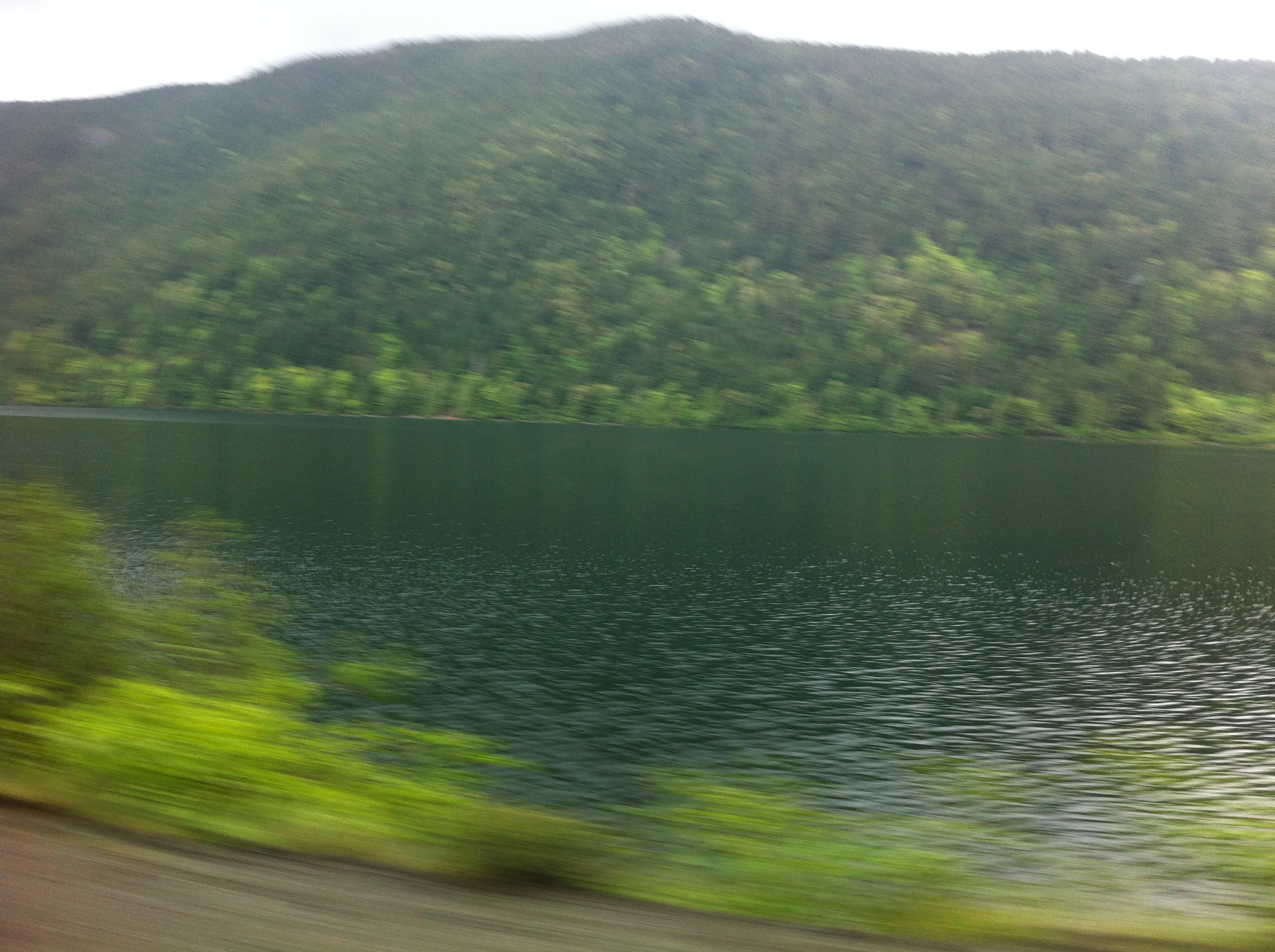
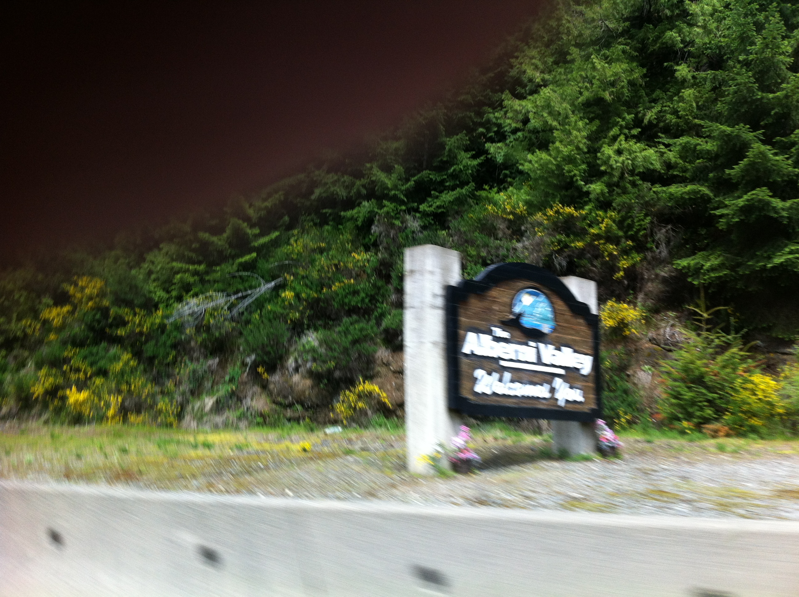
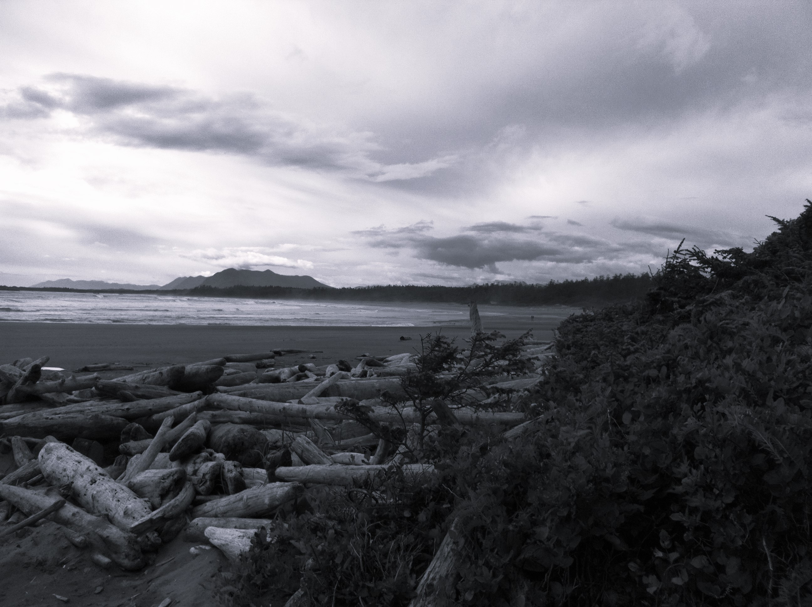
But how could I forget about the other absolute gem on the opposite side of this, Canadian continent? The magic of Long Beach on Vancouver Island and – at times – the hair rising drive from Port Alberni pass the Kennedy Lake, to Ucluelet and Tofino.

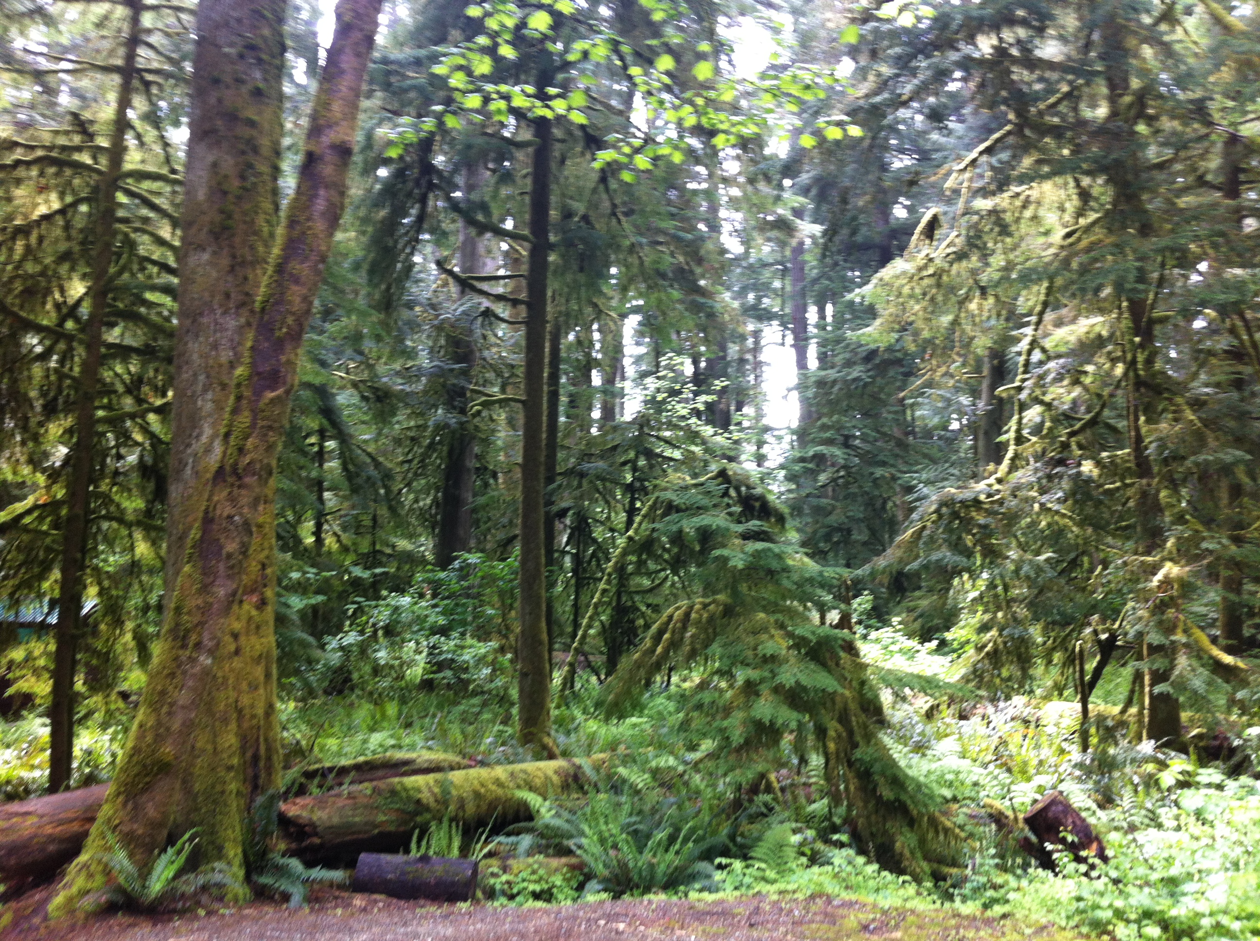
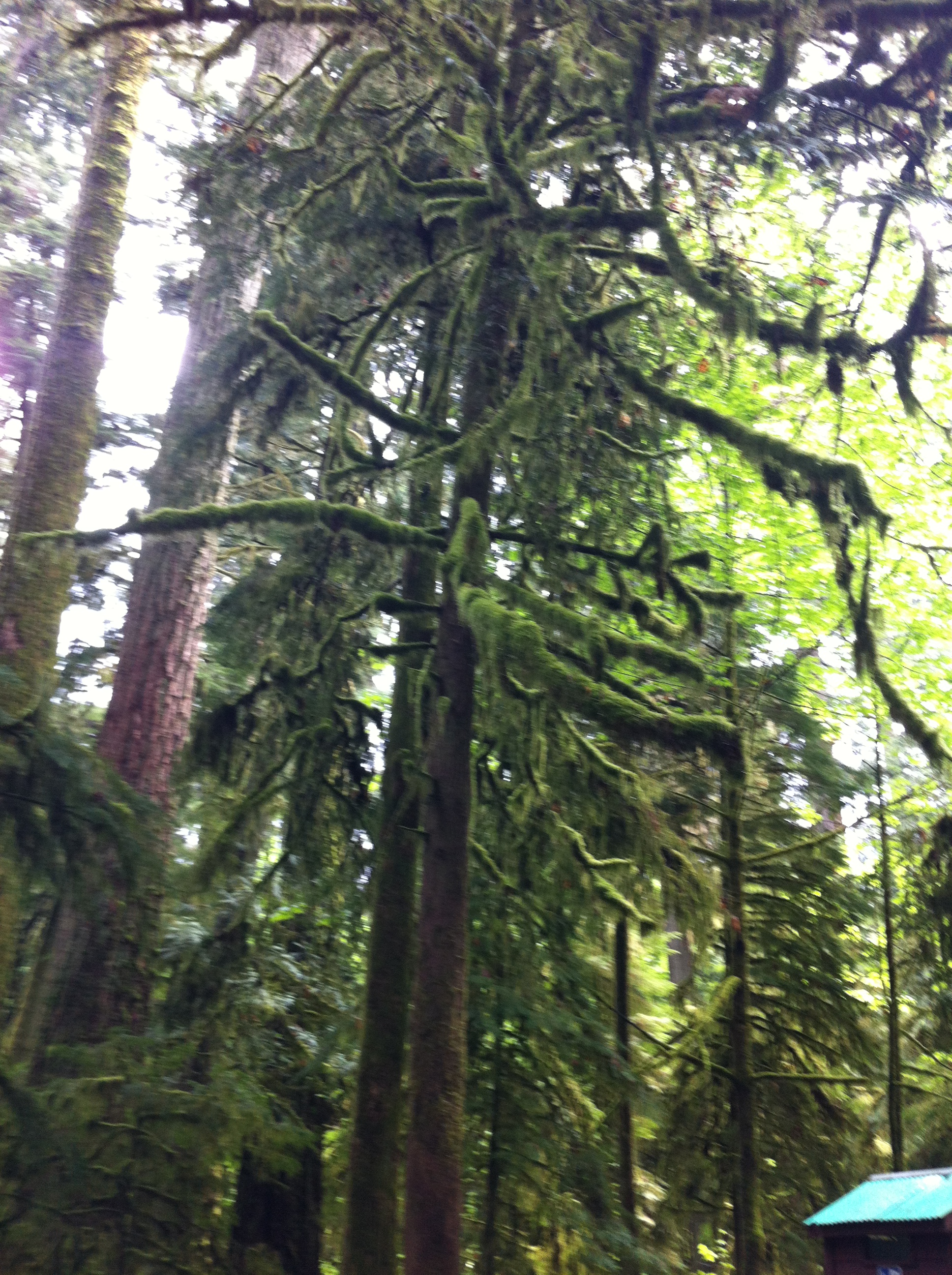
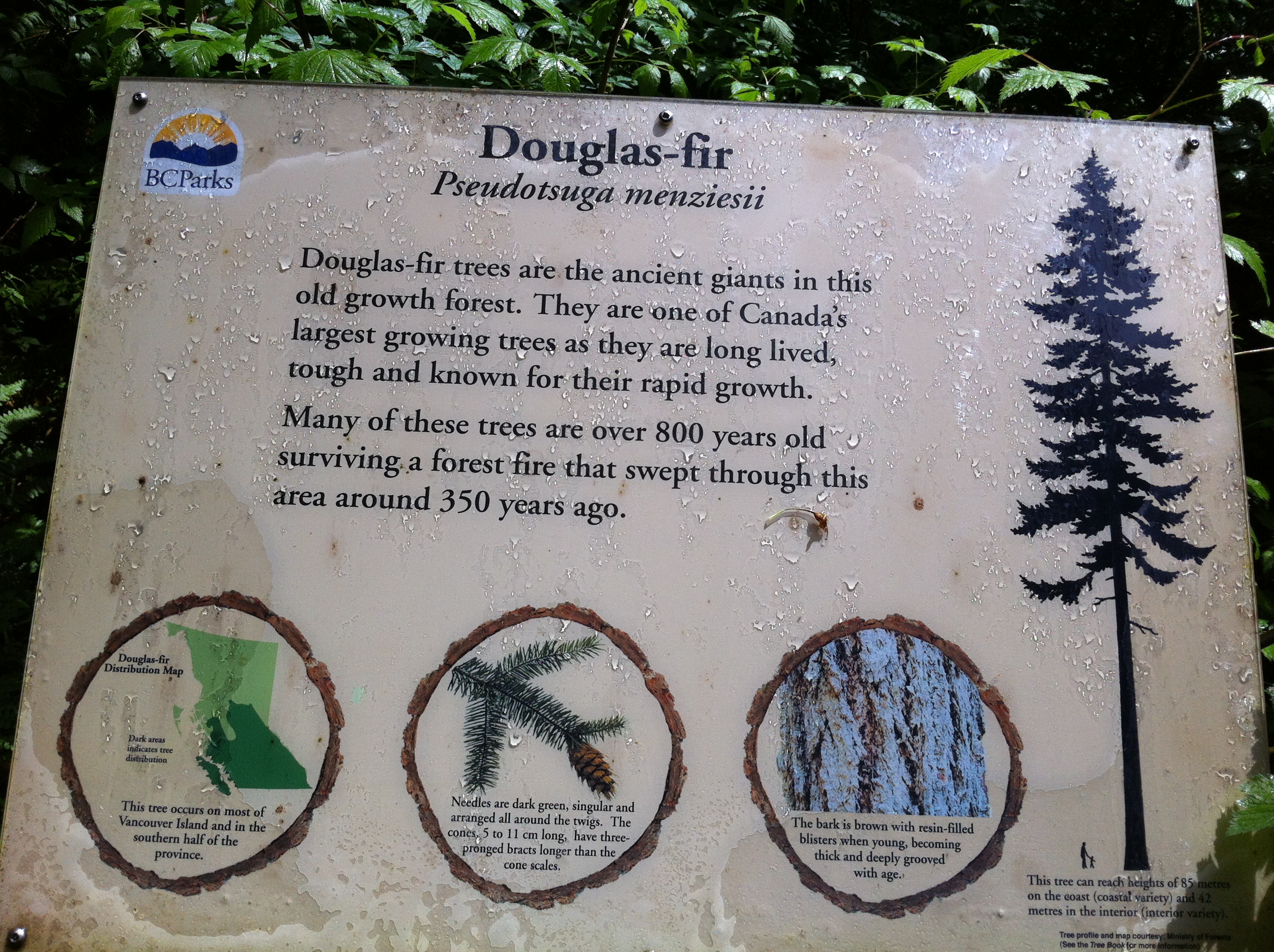
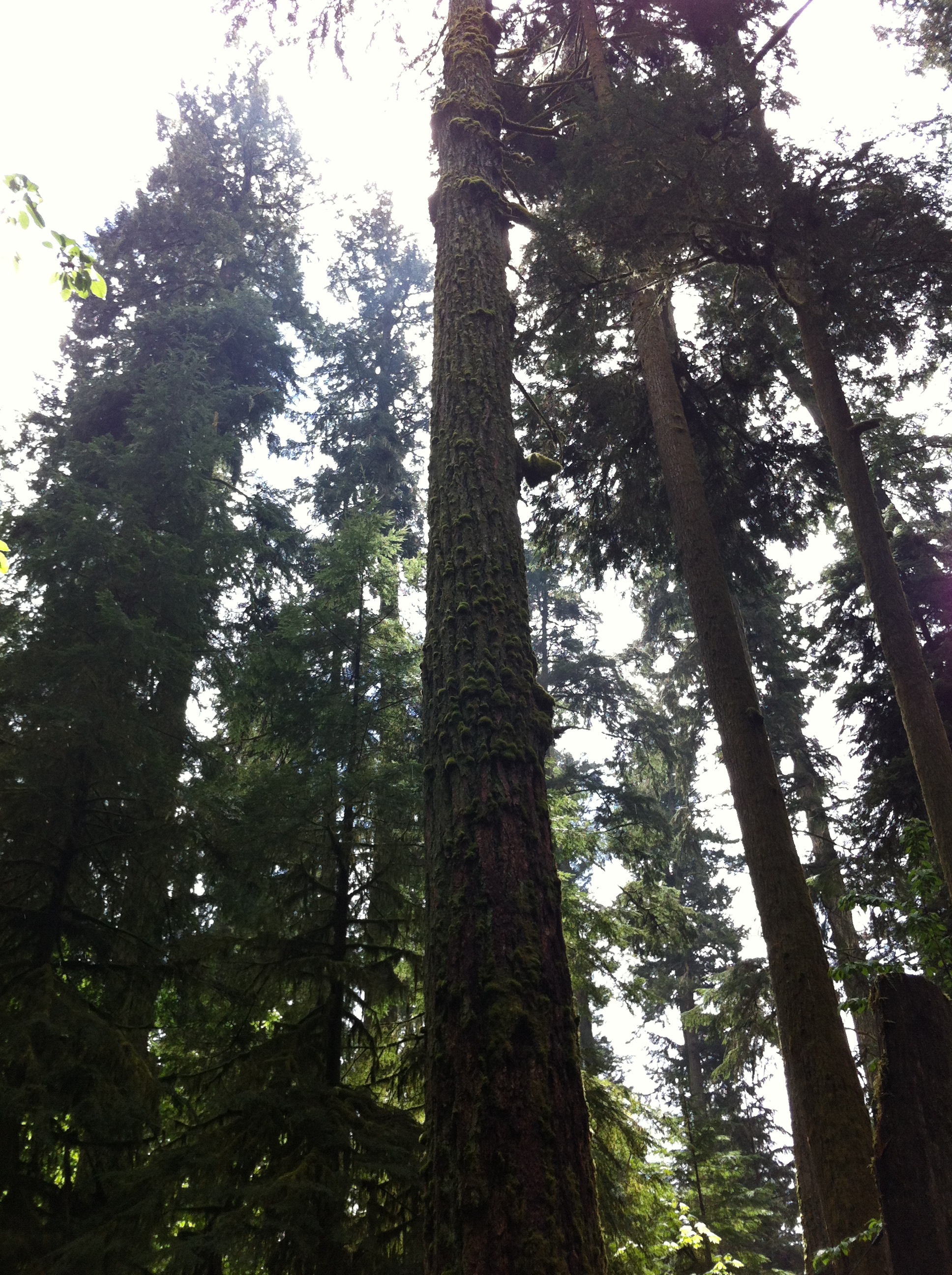
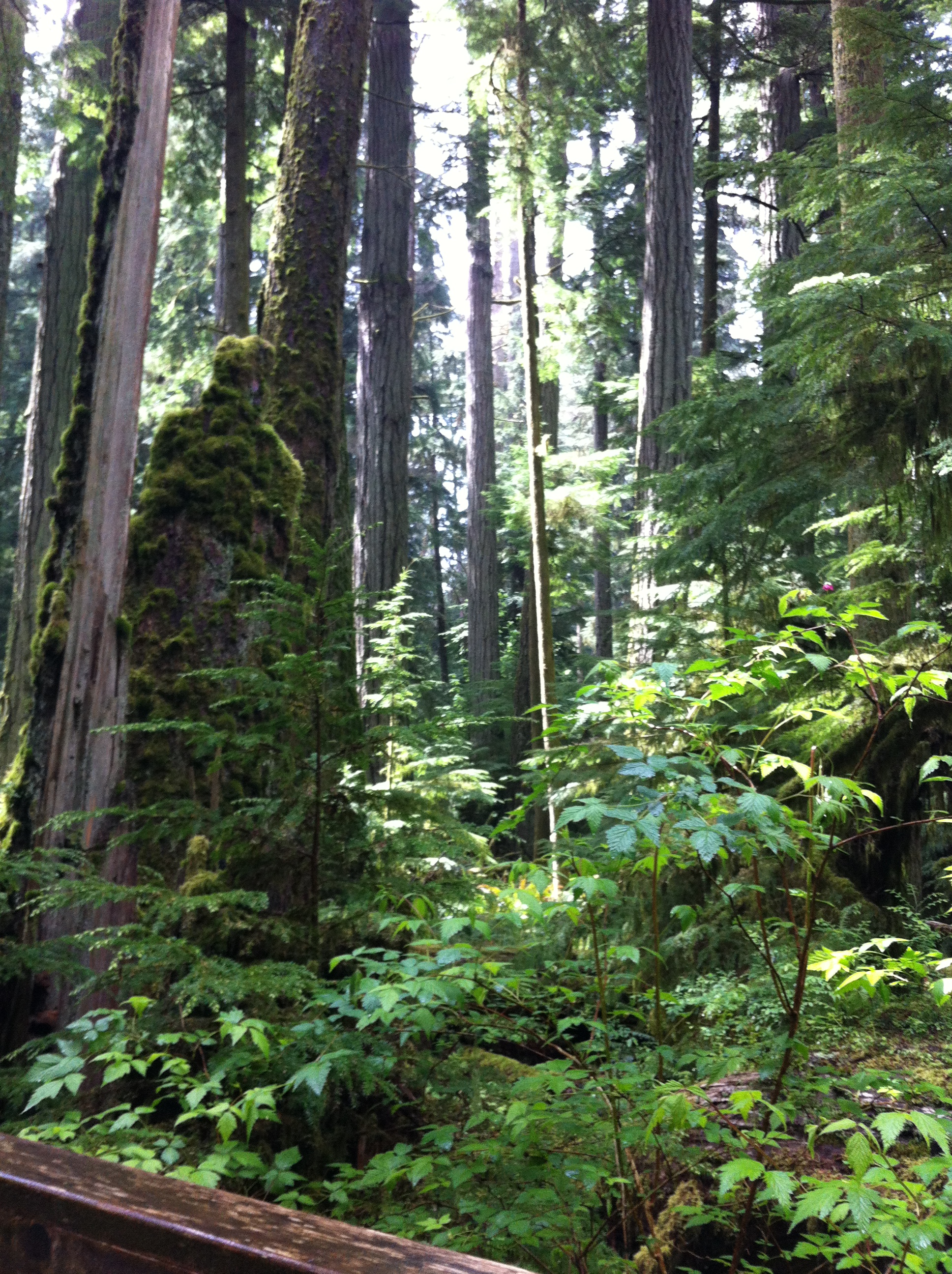
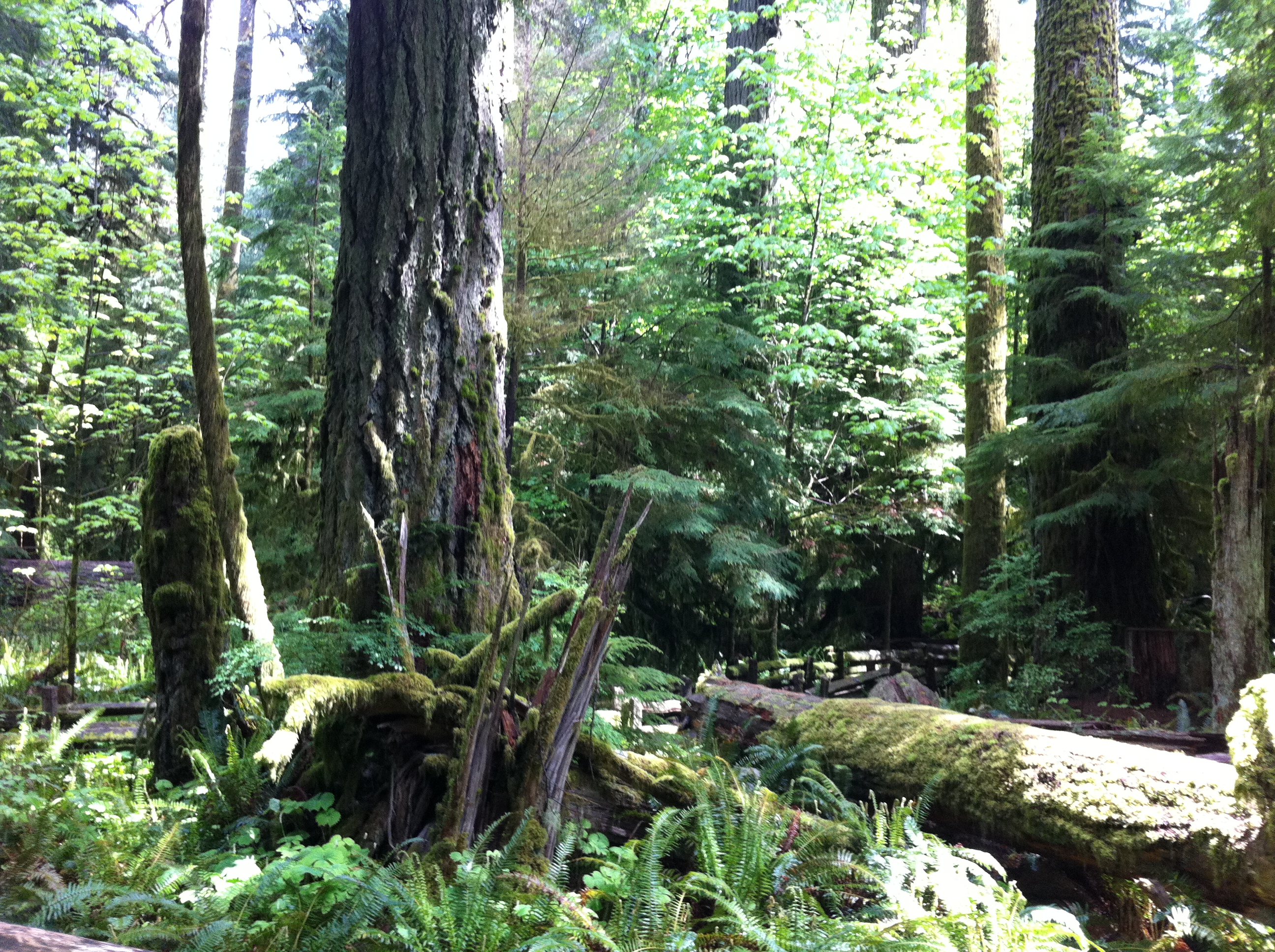
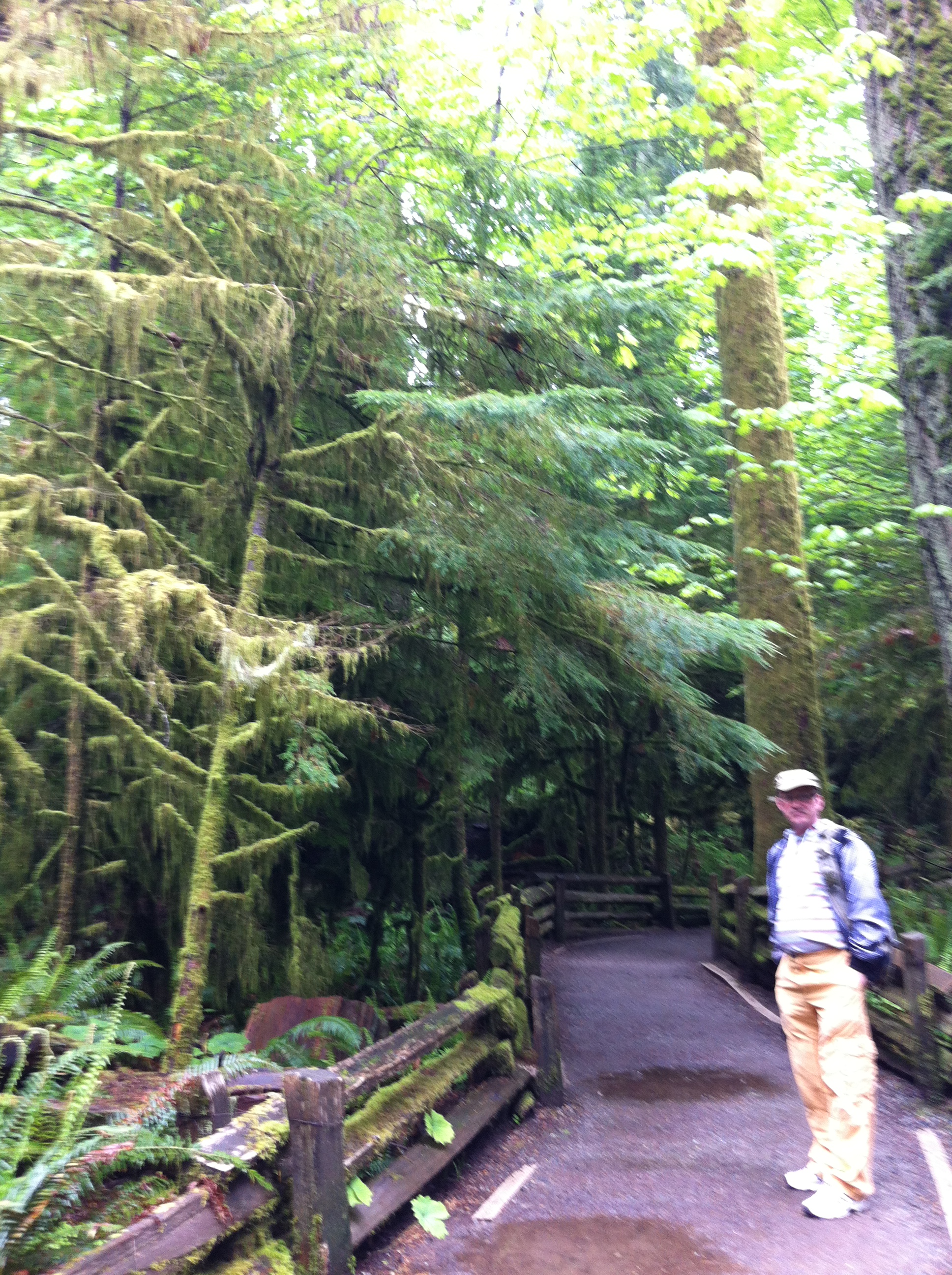
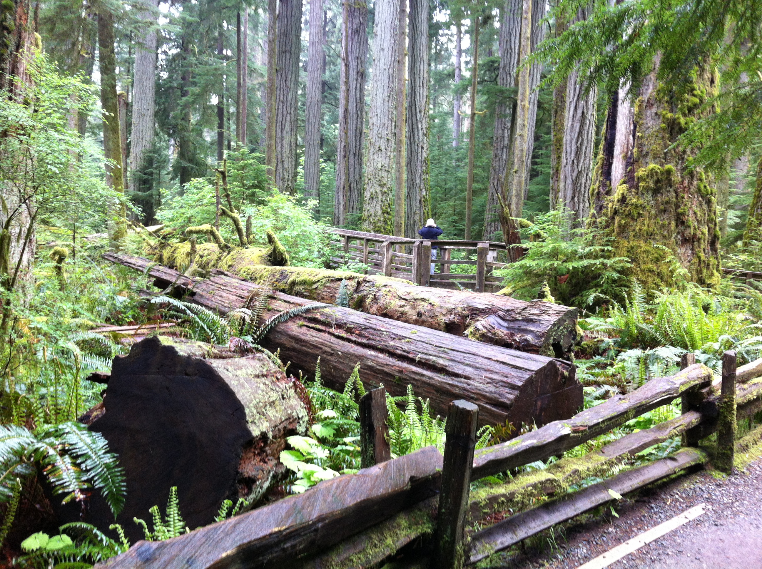
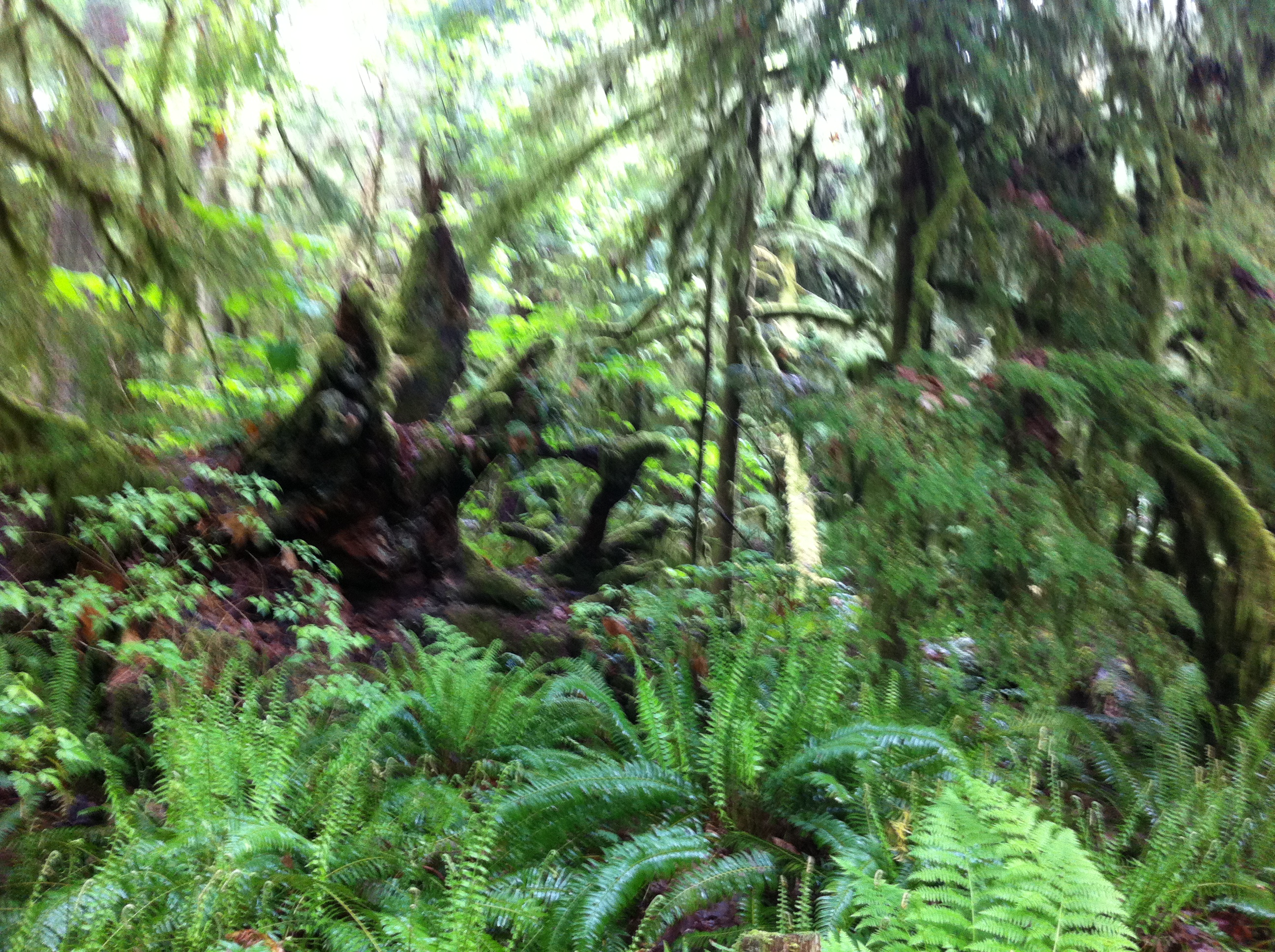
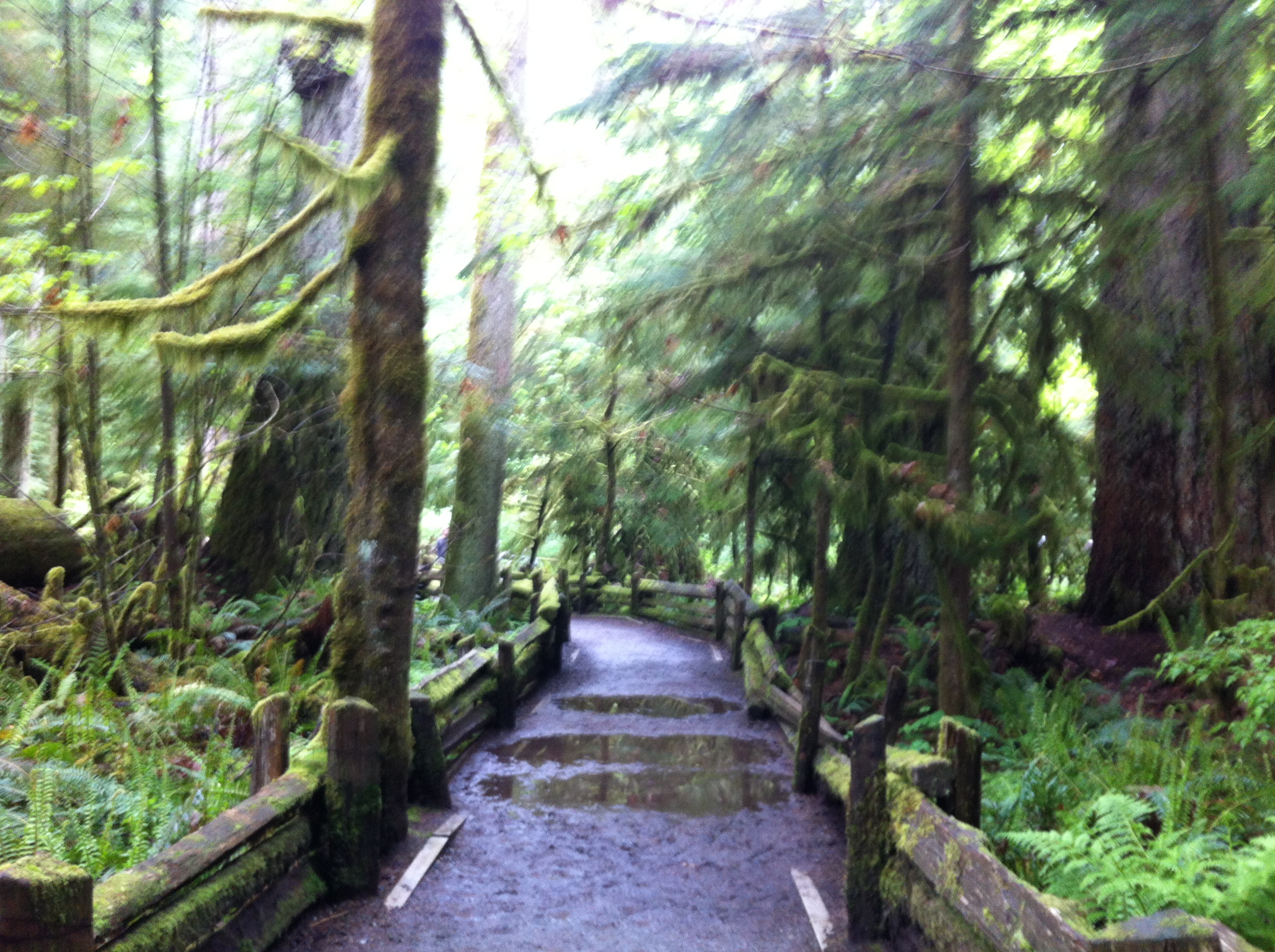
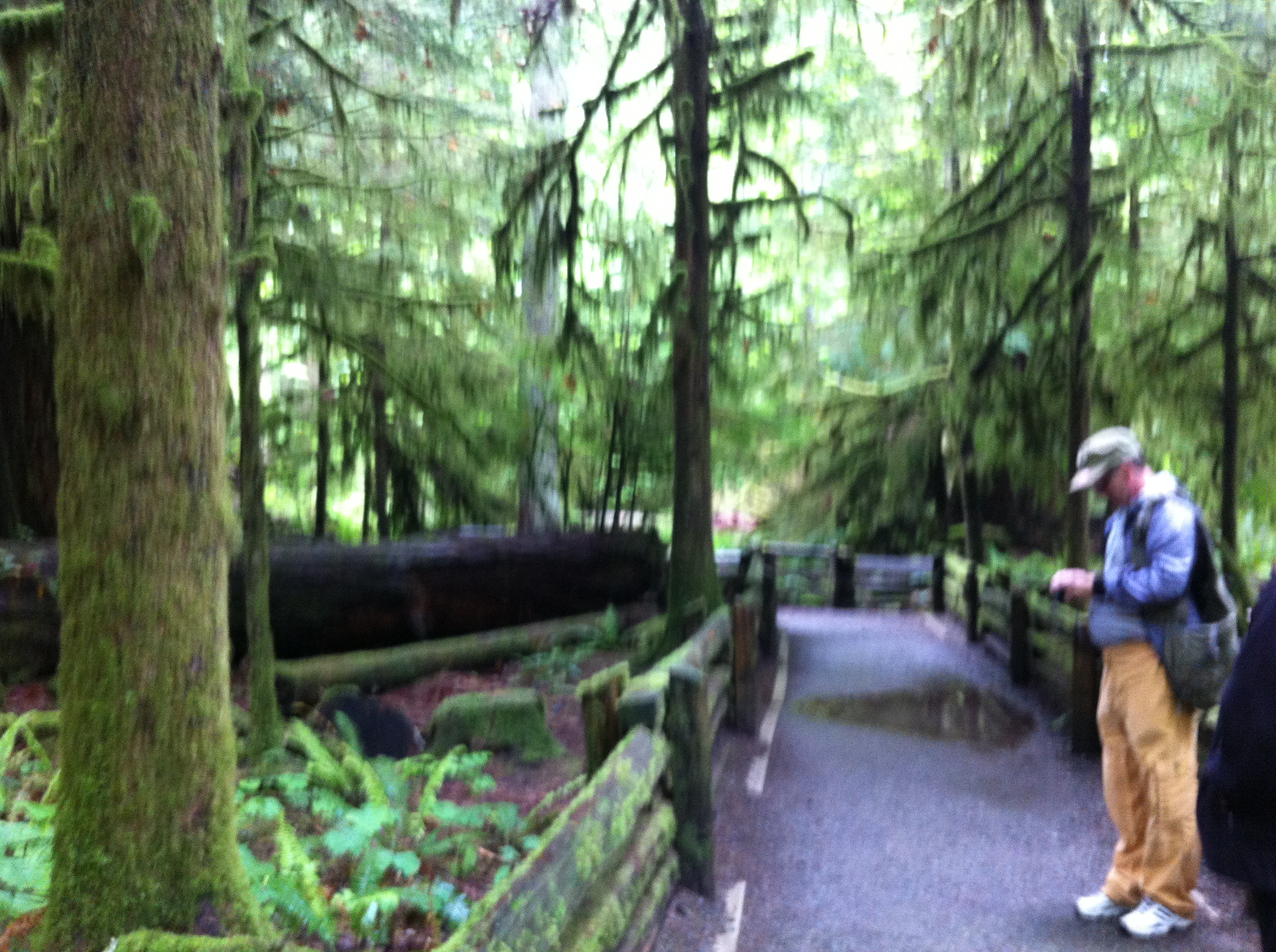
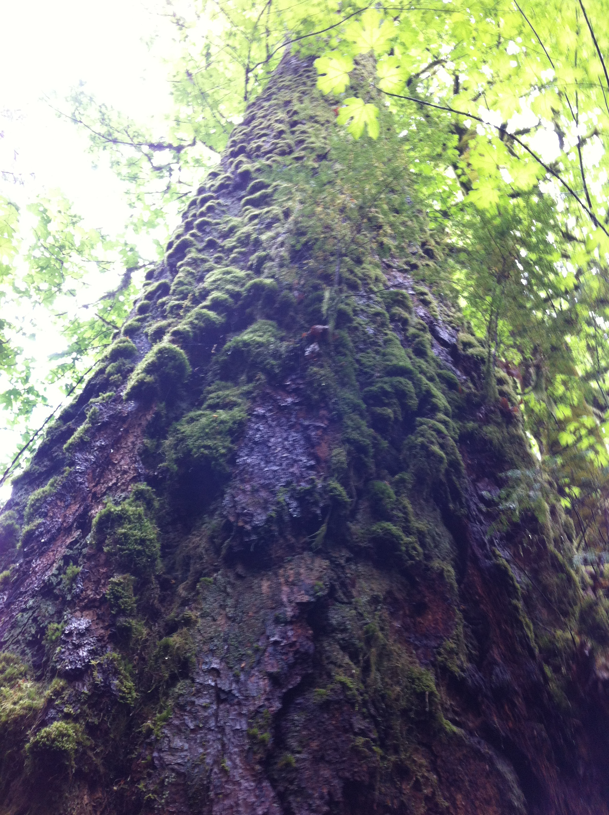
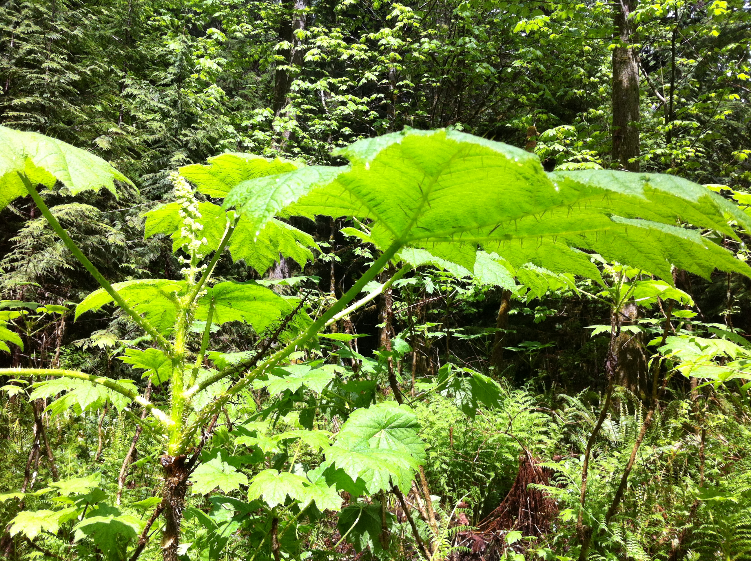
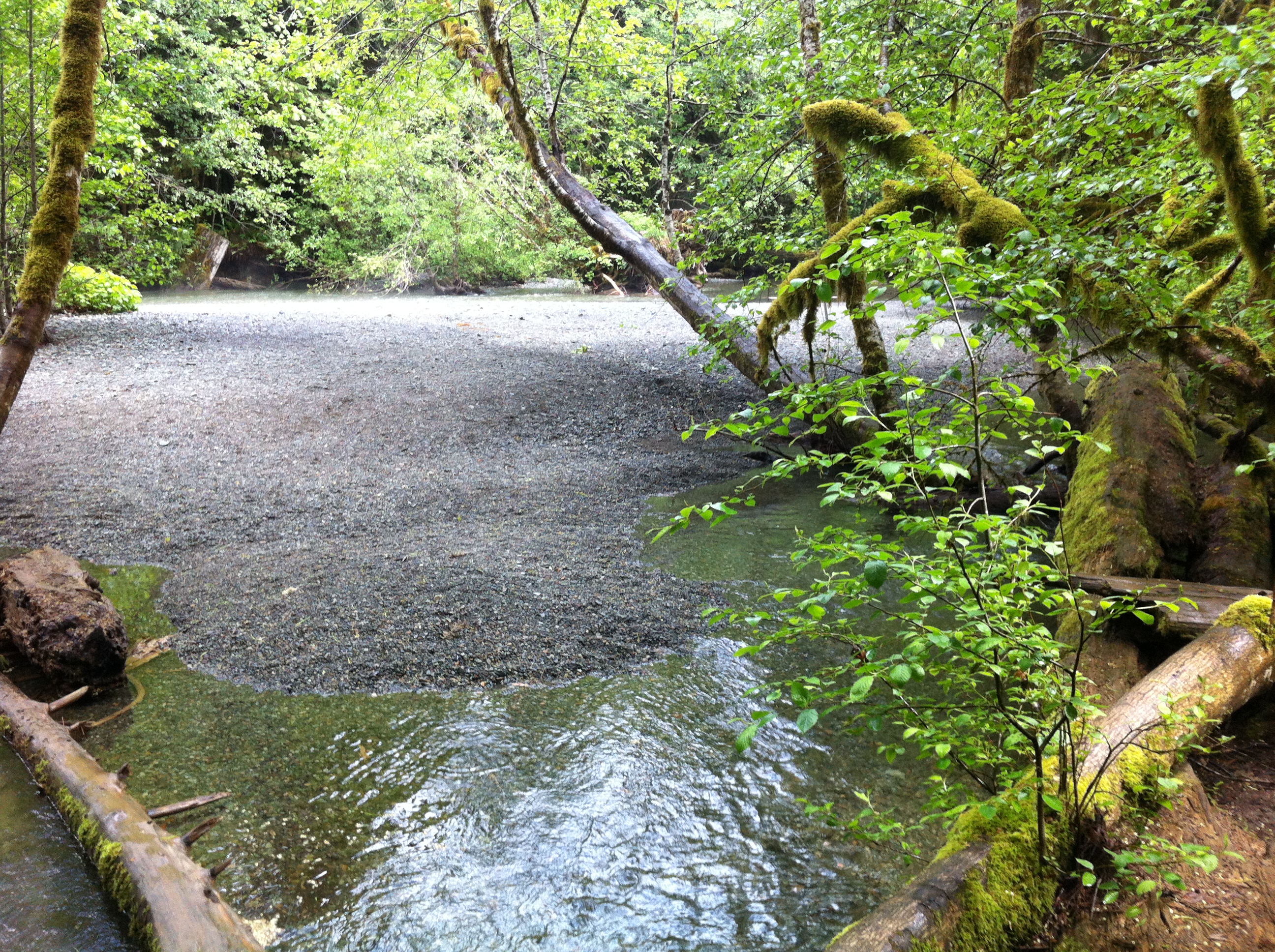
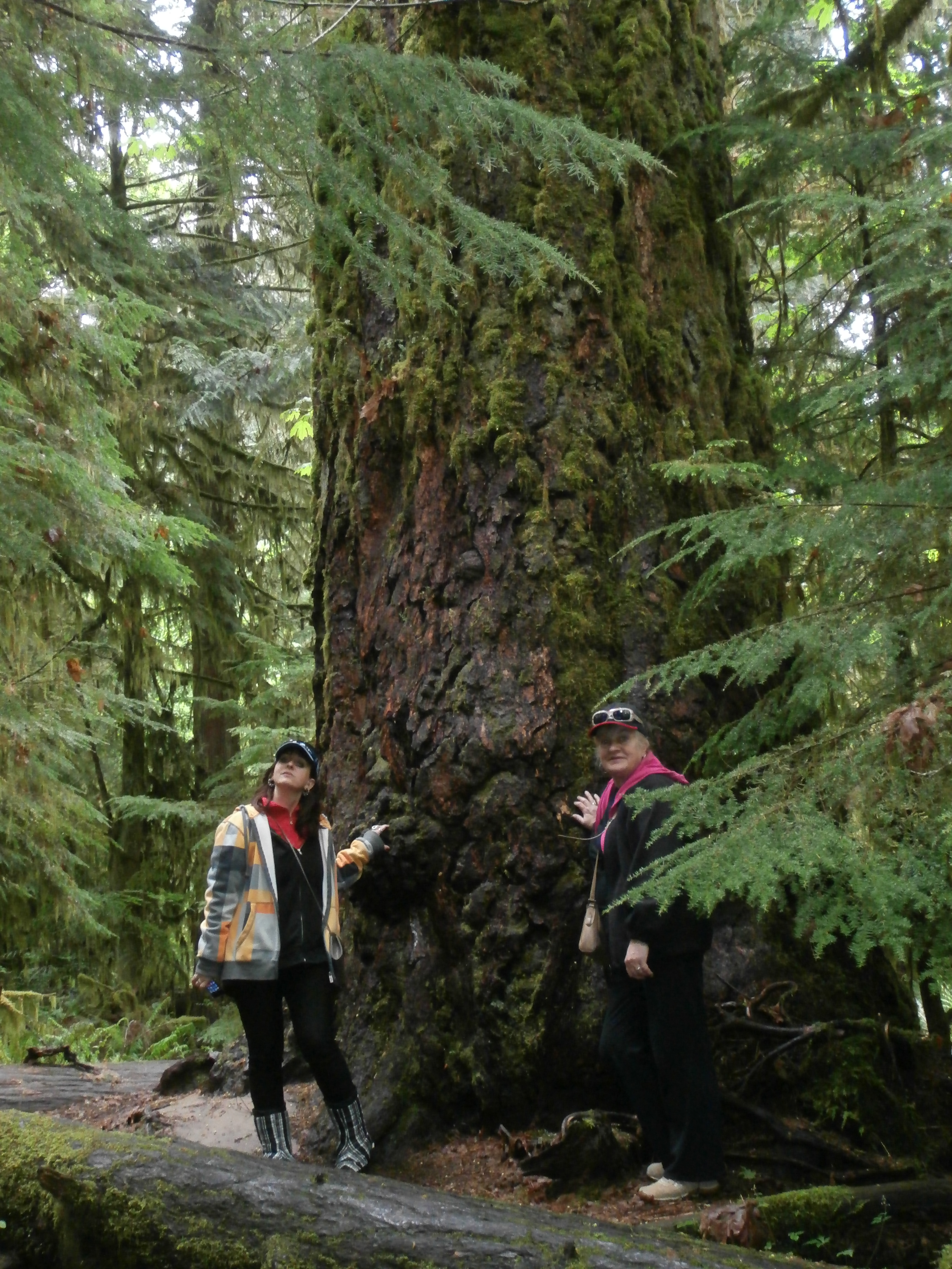
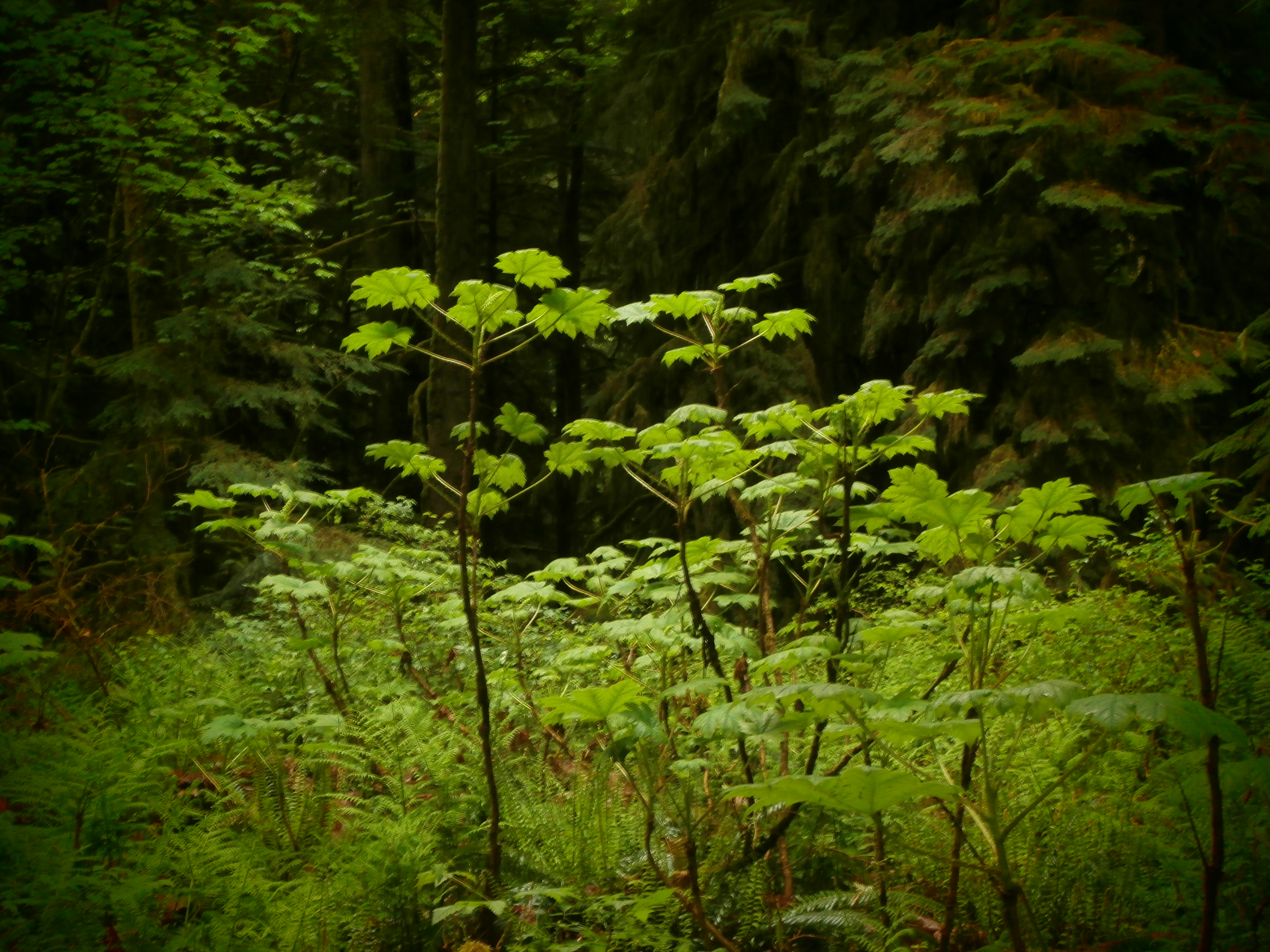
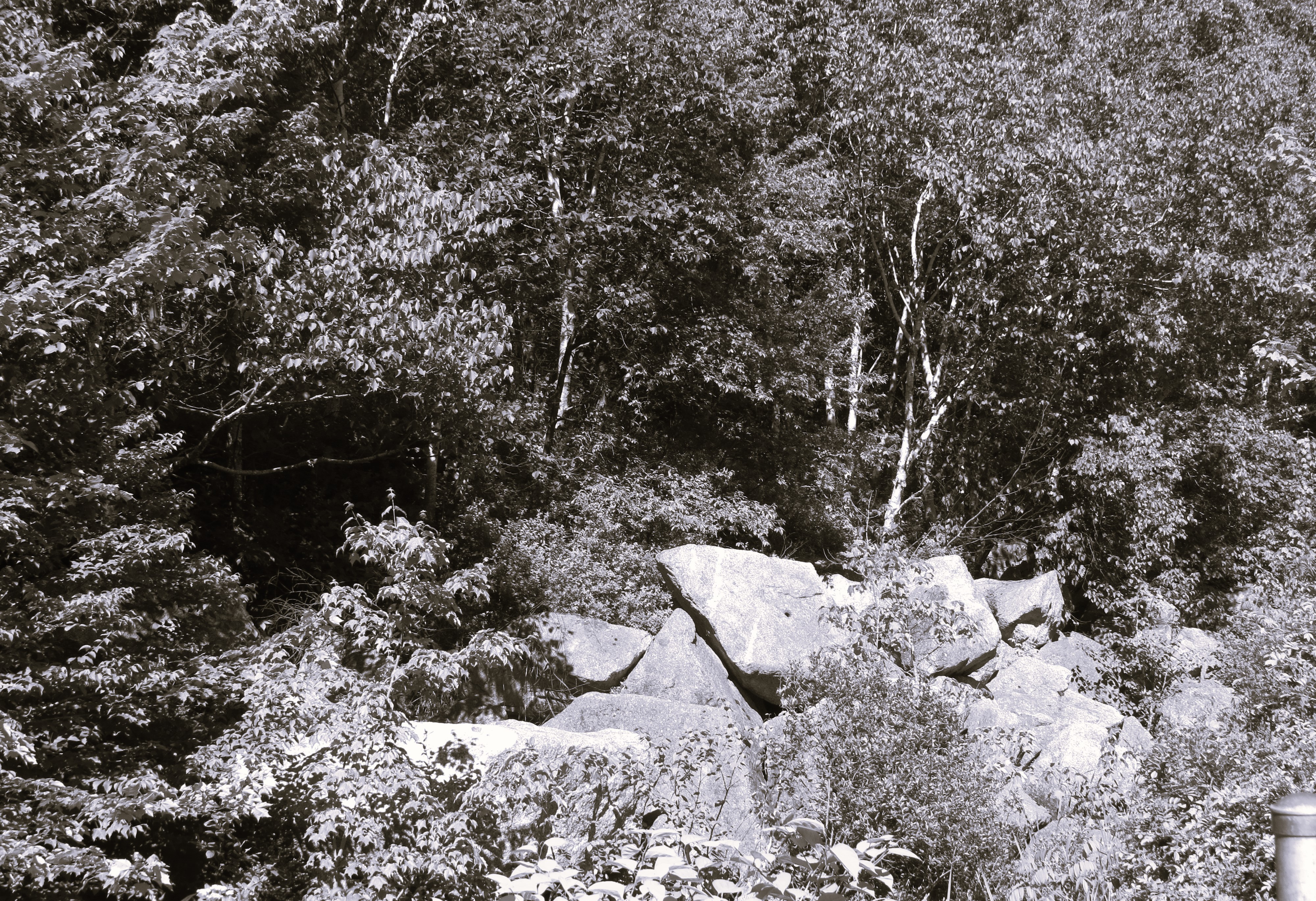
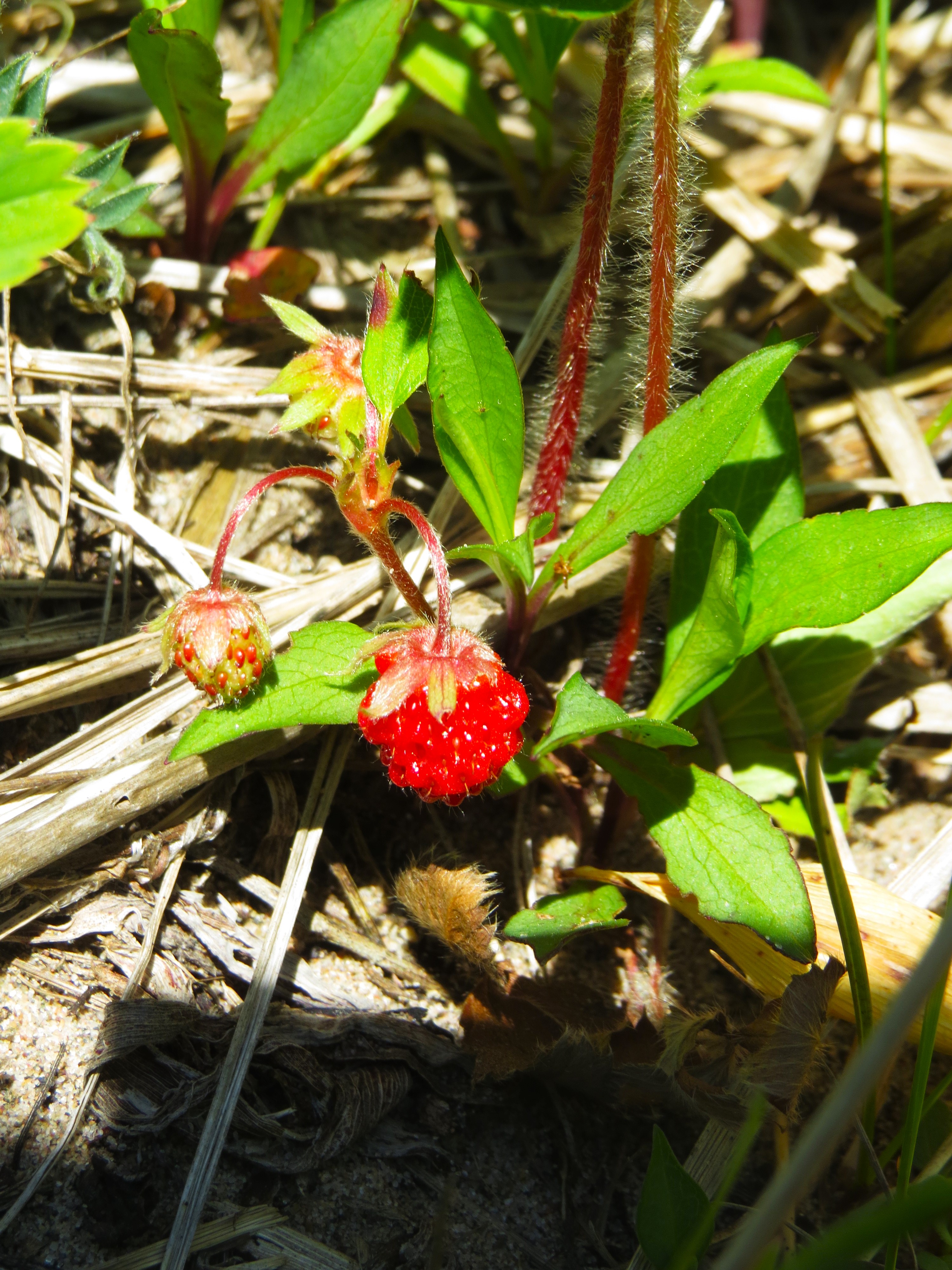
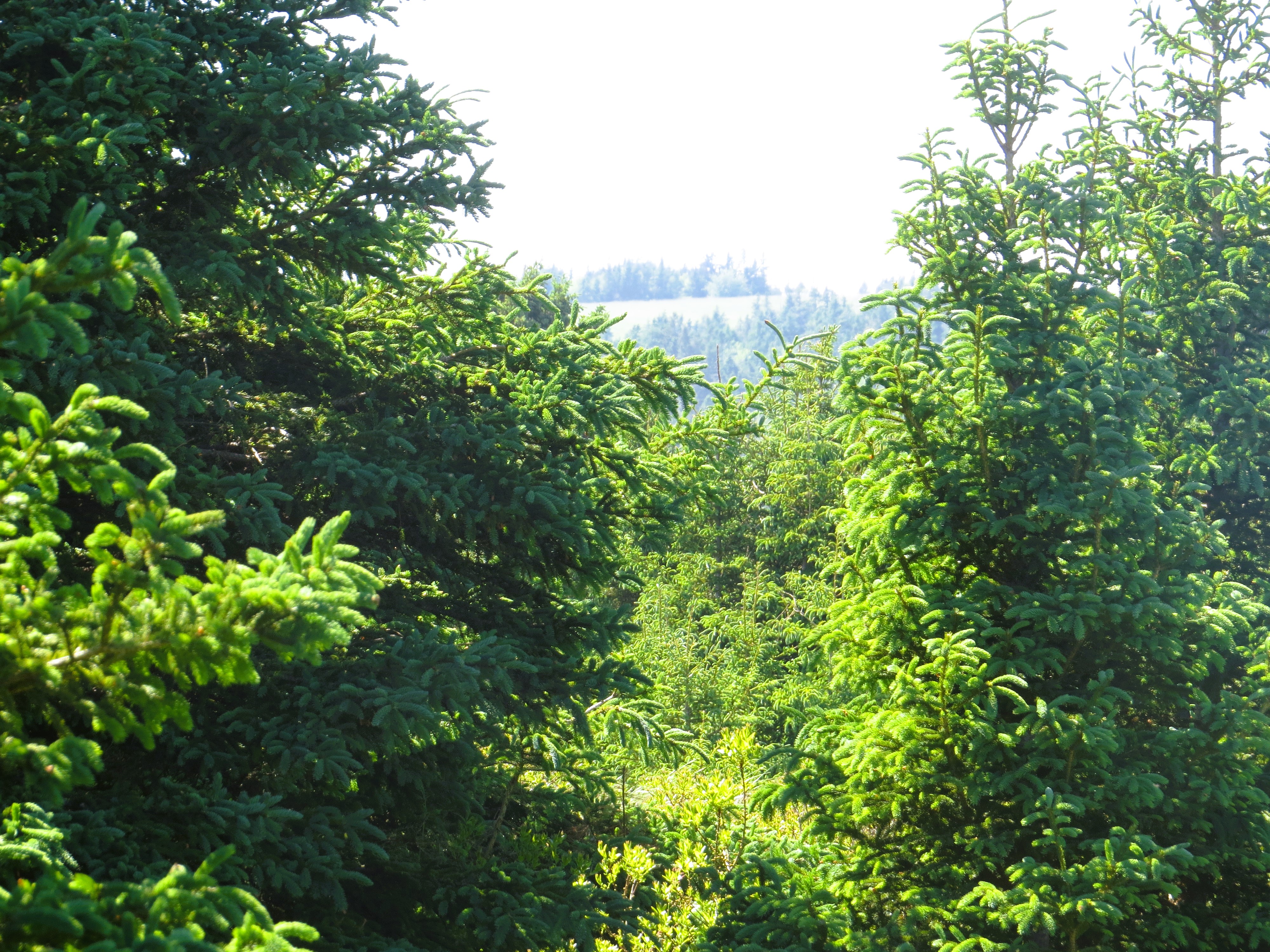
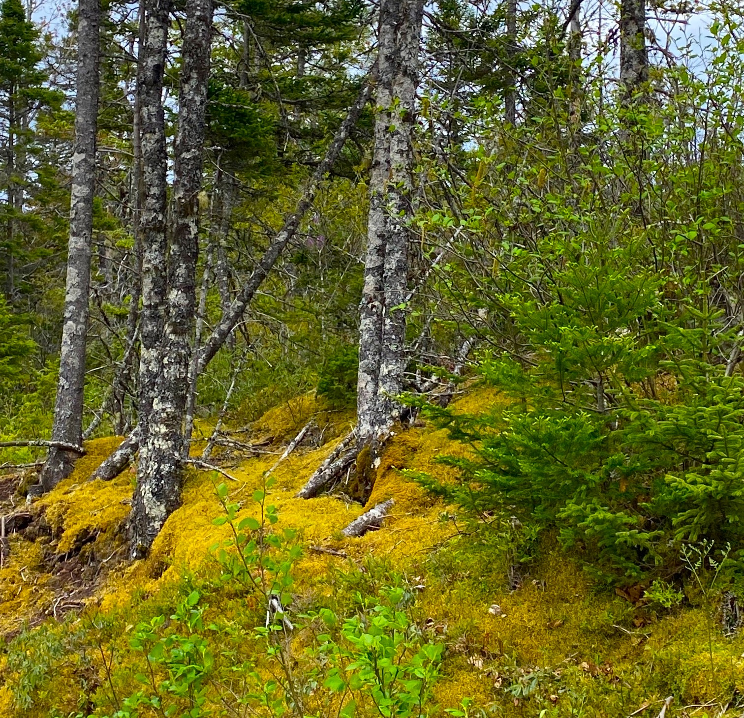
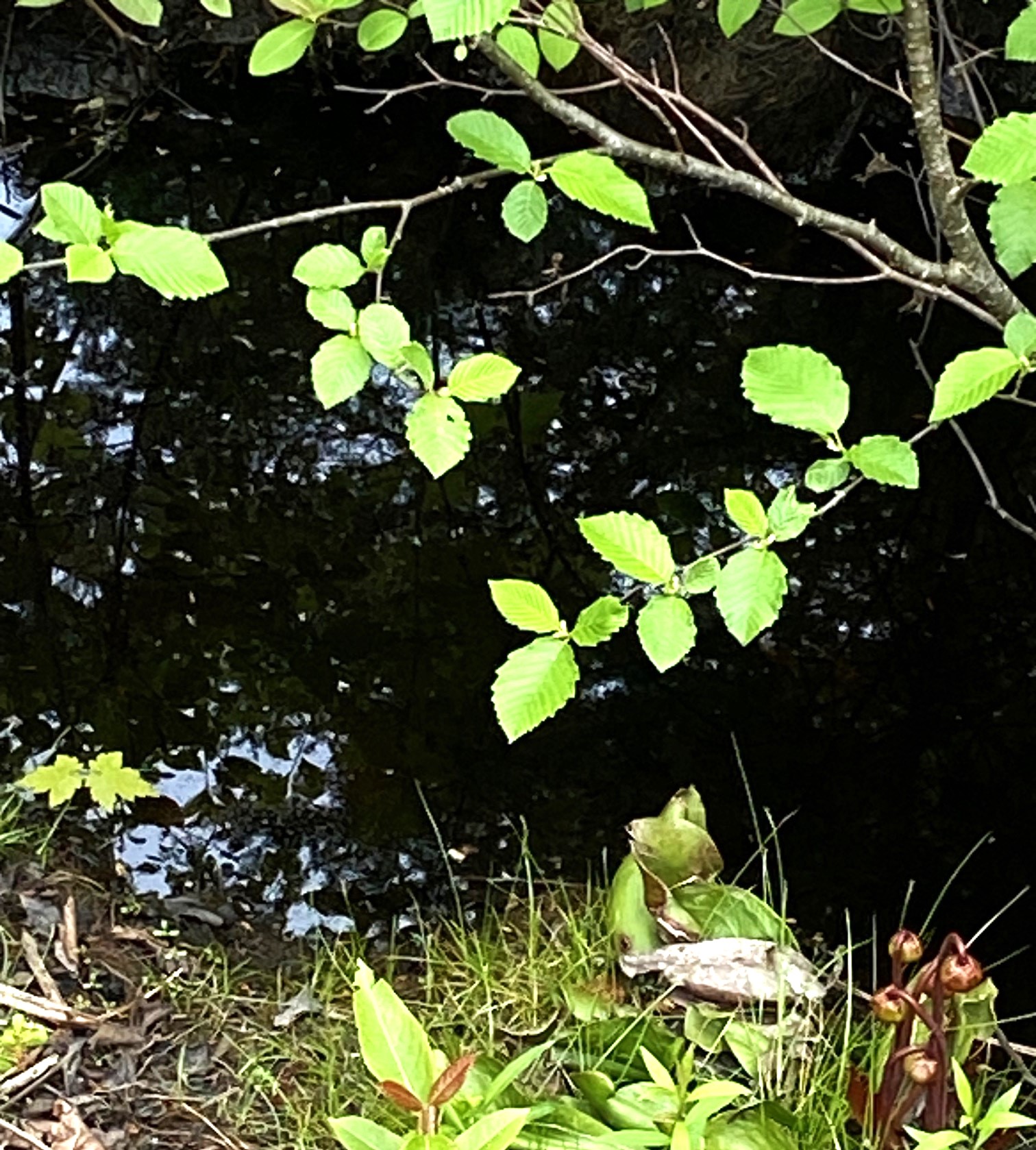
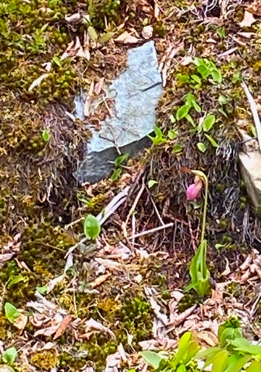
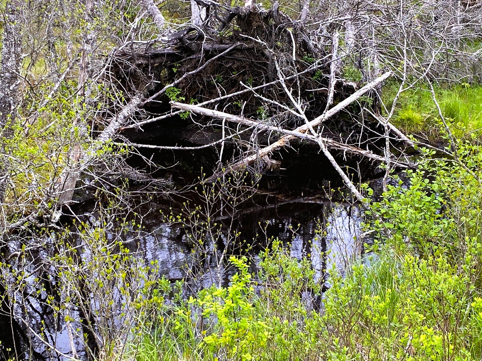
Just before you reach the town of Alberni – one more amazing natural reserve: The Cathedral Forest. It is indeed a ‘cathedral’ – a sacred please saved from annihilation of forest logging companies by people protesting and risking being arrested. Sacred because there is very few places where you can see such undisturbed big forest of hundreds years old giants remembering times immemorial. The Canadian Sitka trees, Douglass fir, Red Cedar. It is an entire cosmos of it’s own ecosystem, everything supporting everything: from the dense brush, grass and plants on the forest floor, to trees that often you can’t see their top because their are so tall and the canopy so dense.

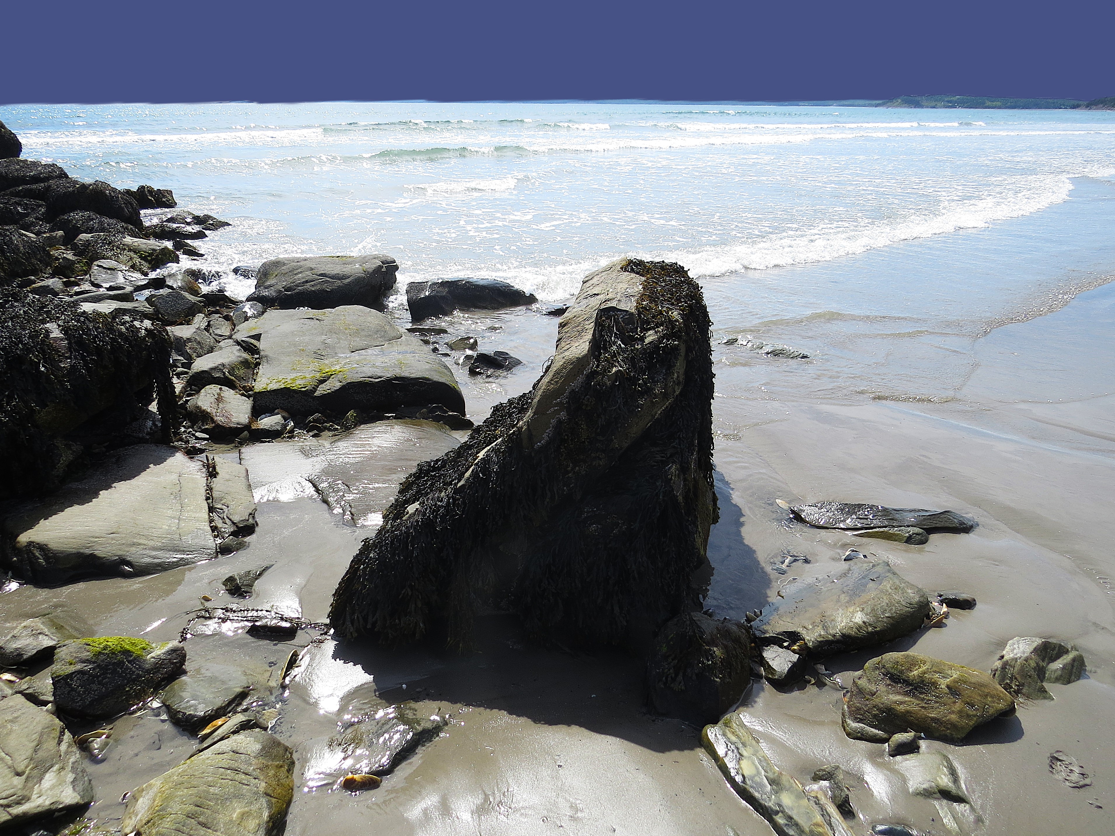
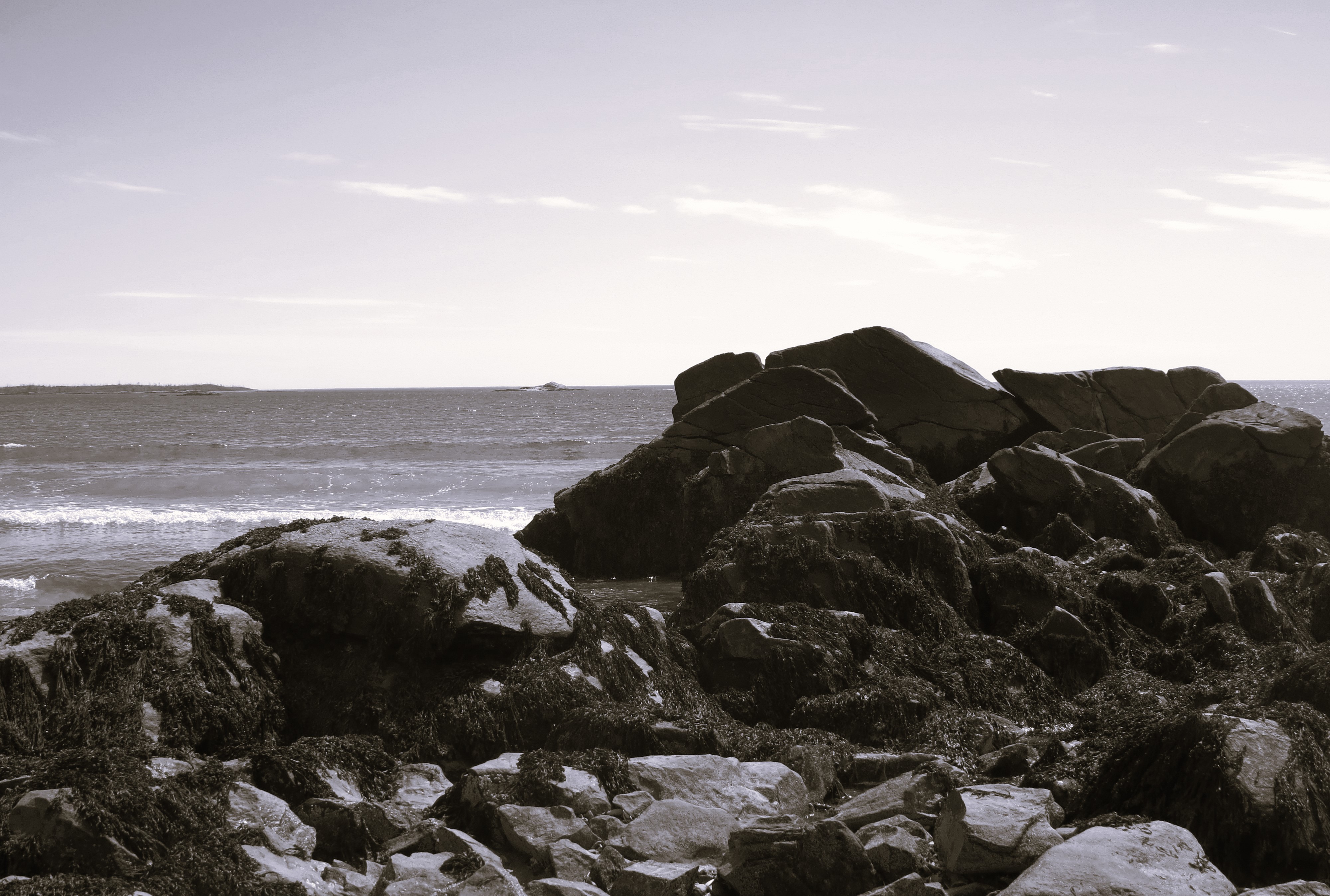
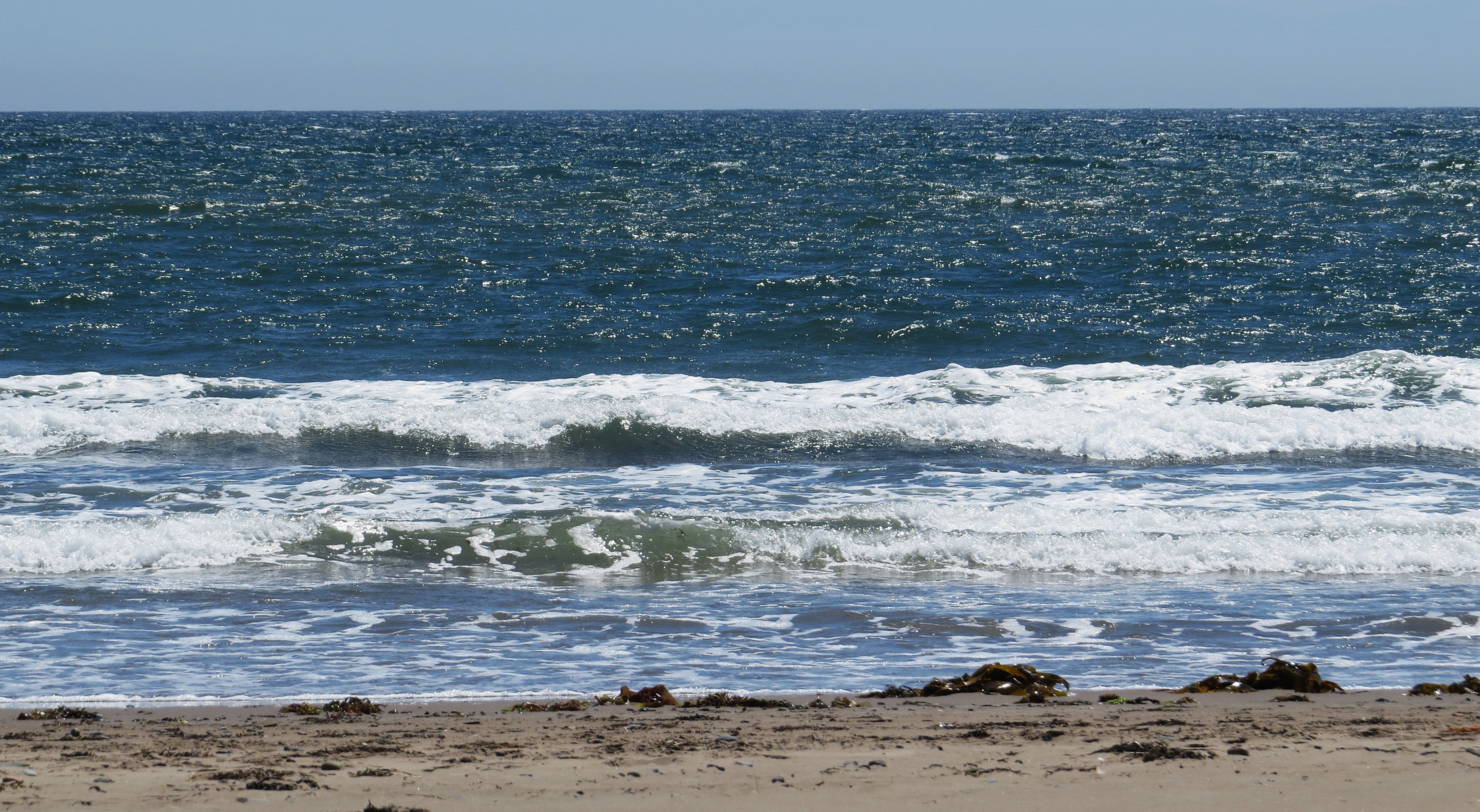
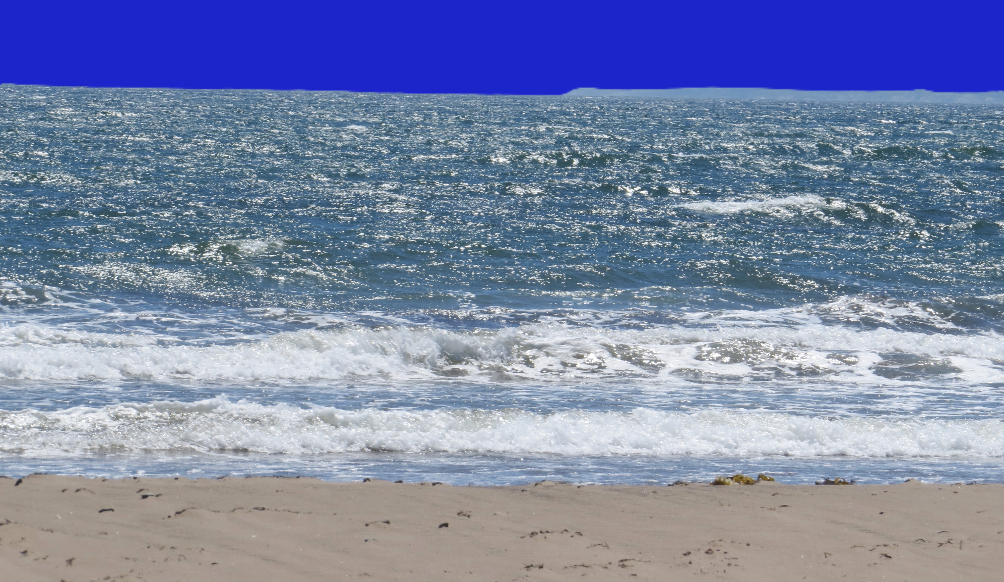
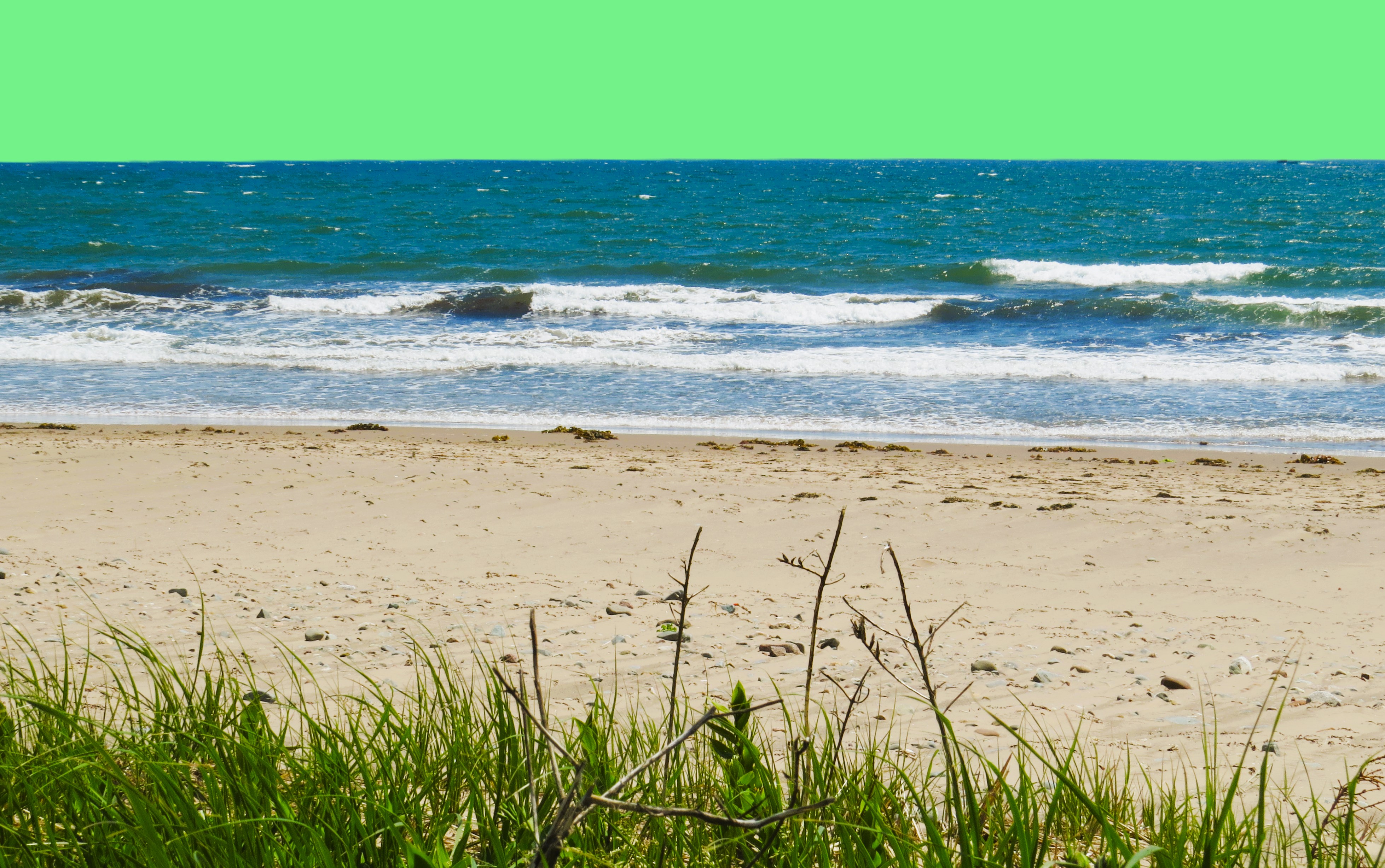
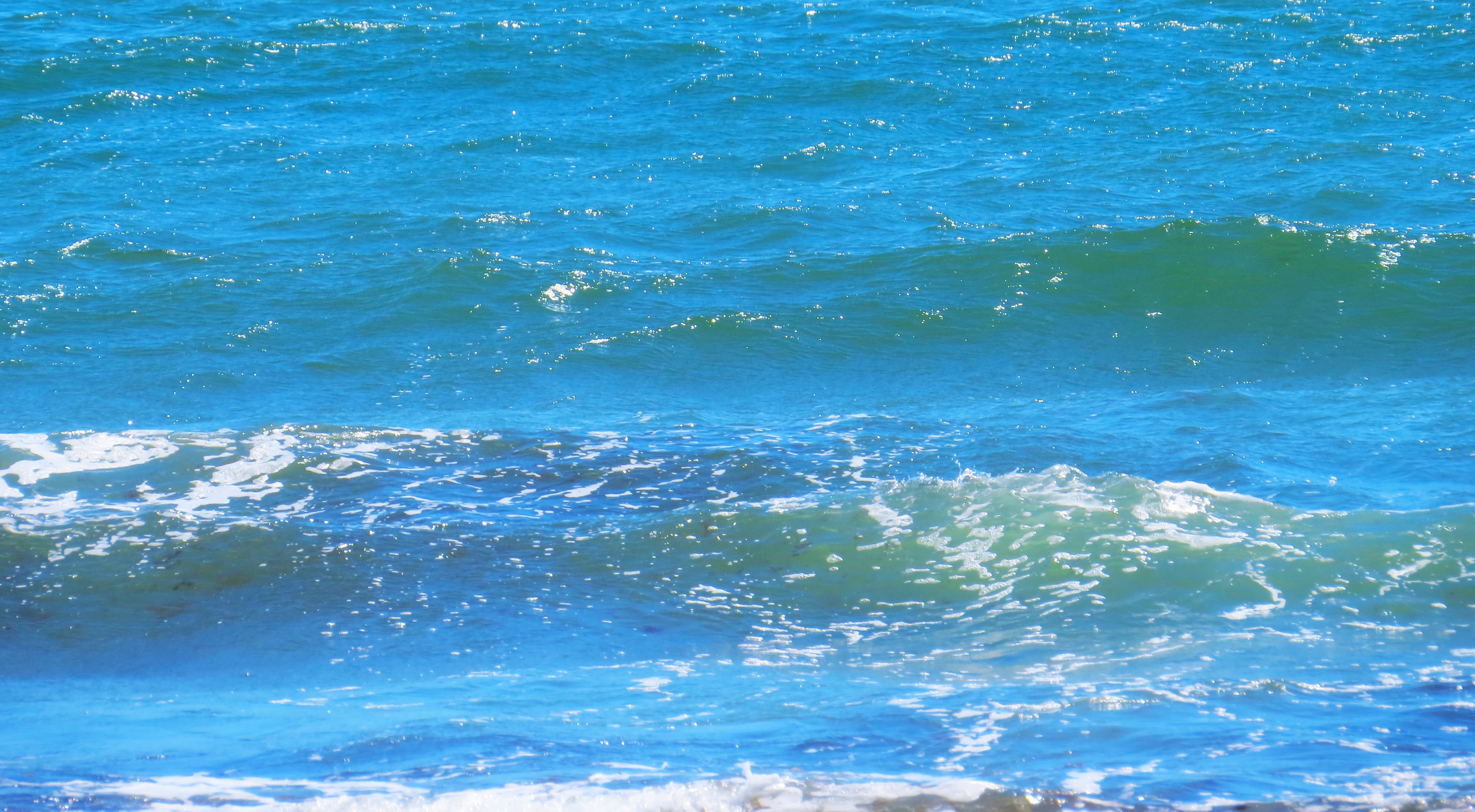
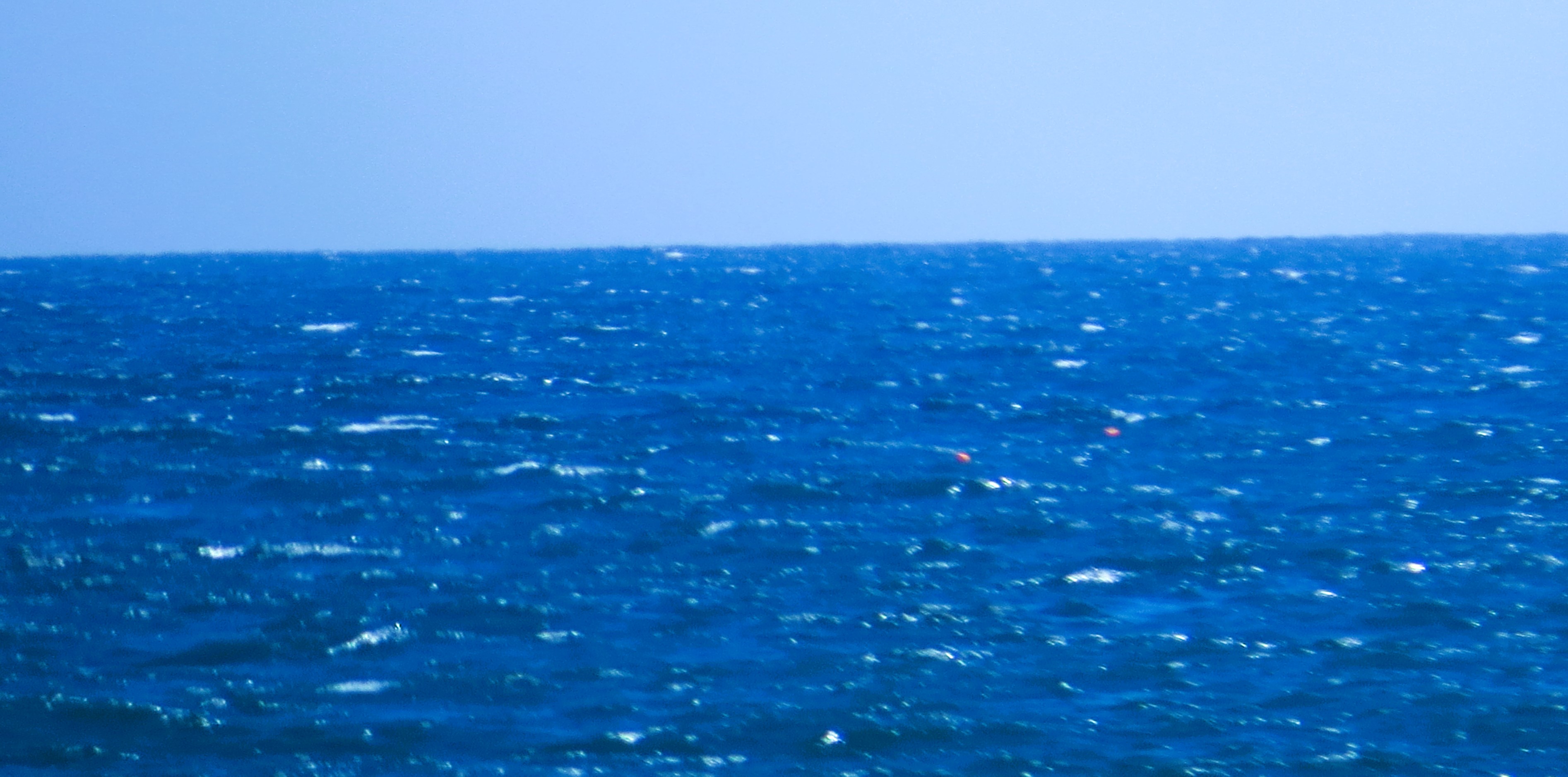
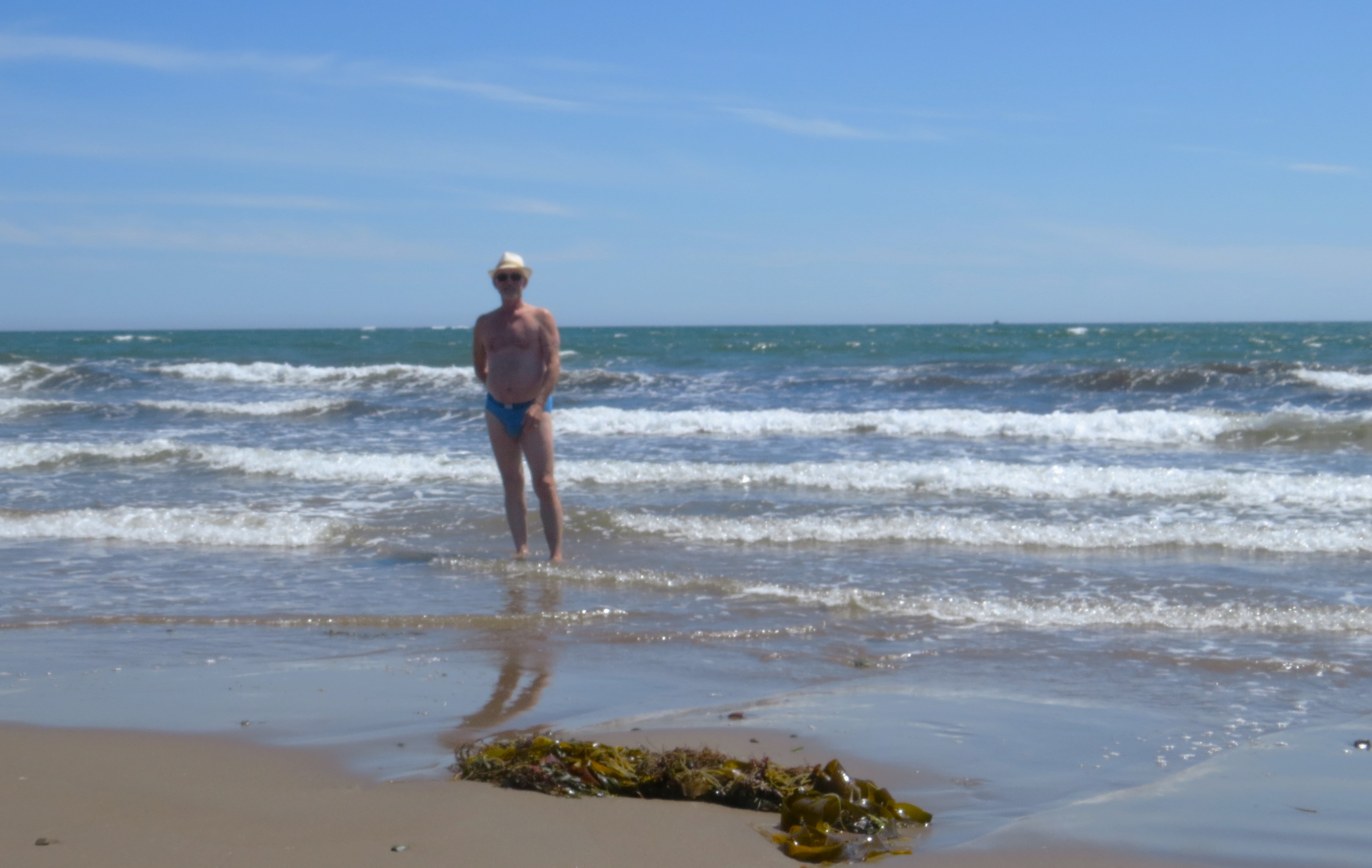
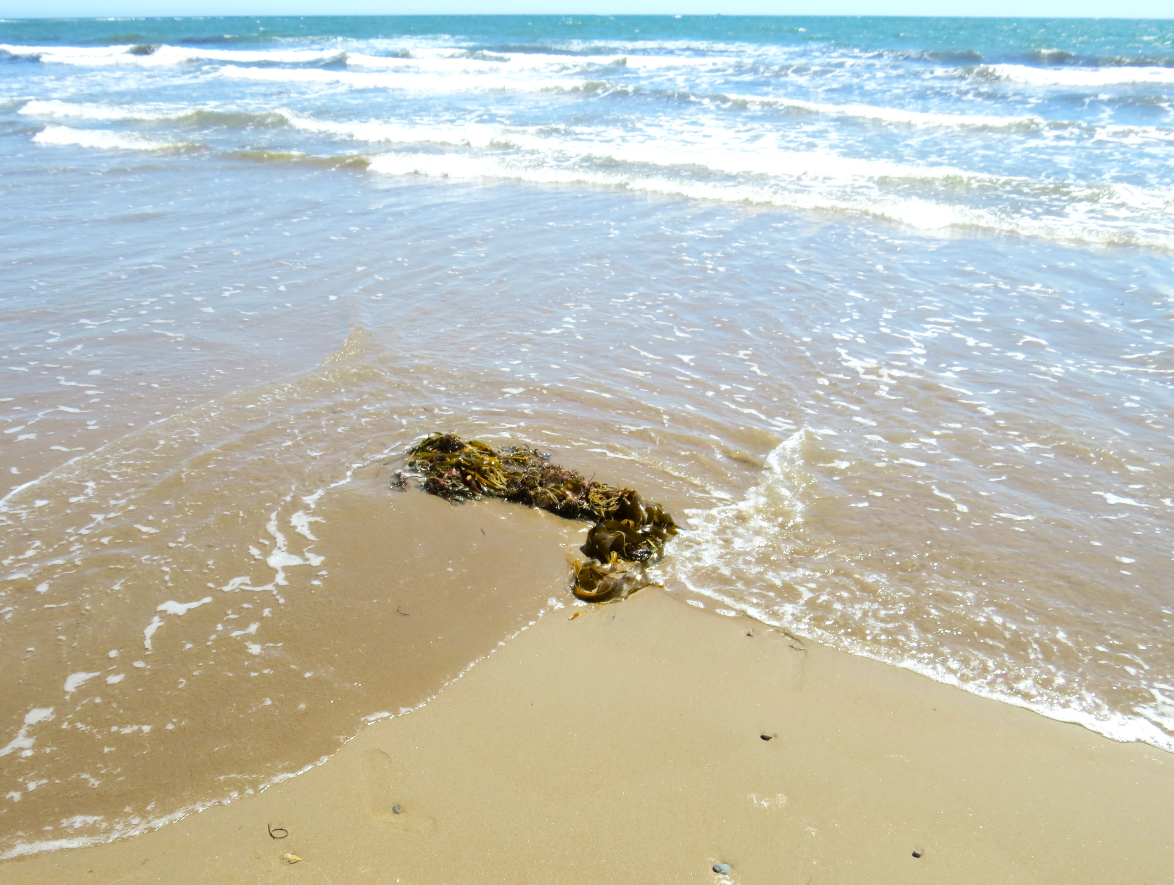
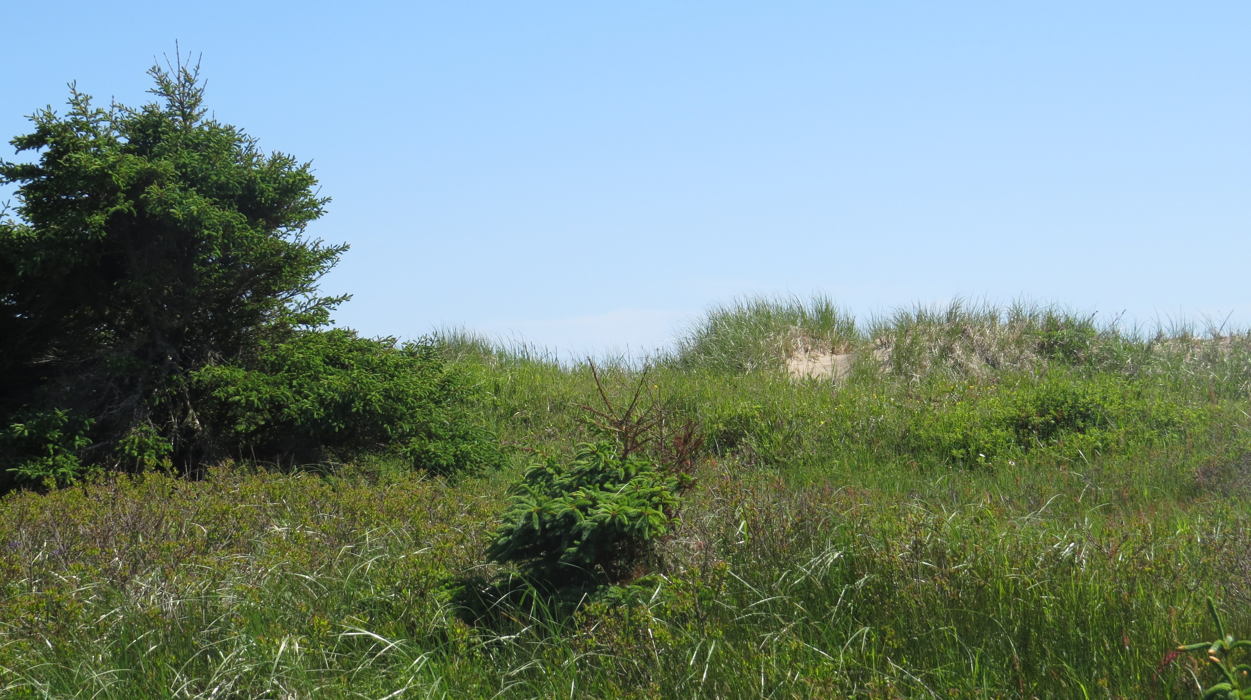
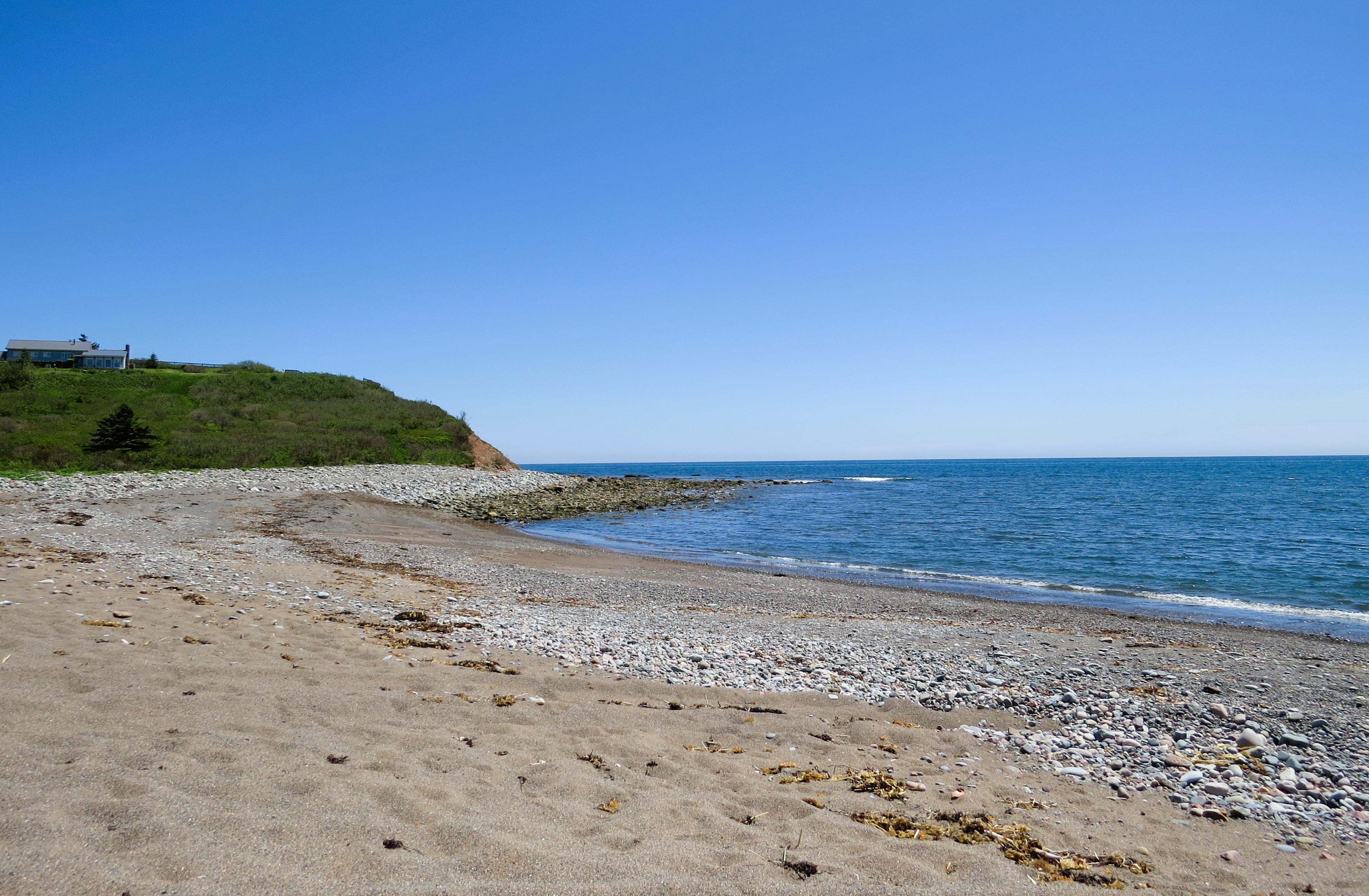
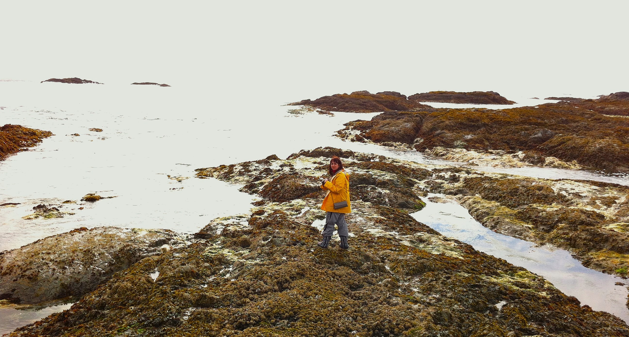
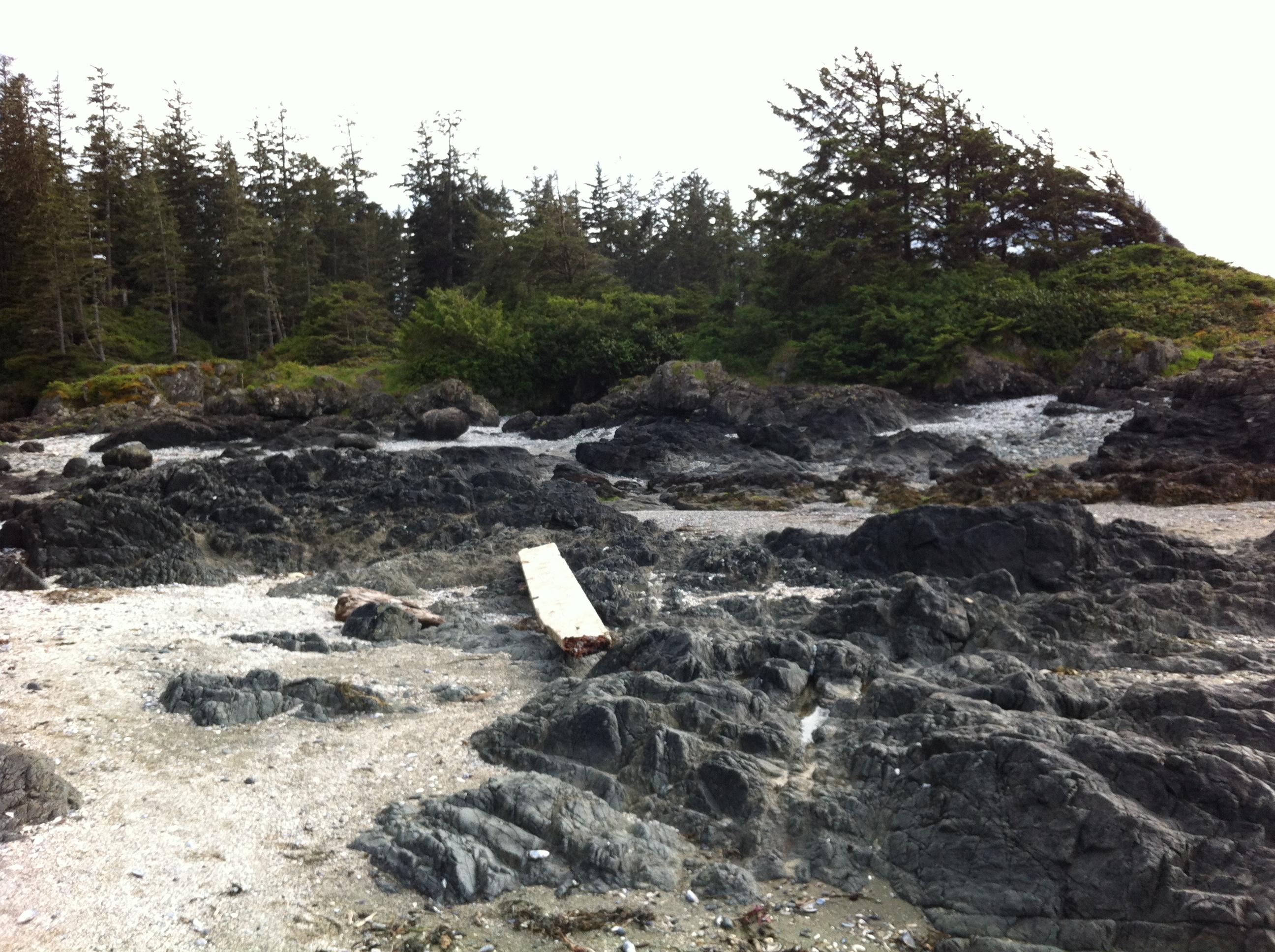
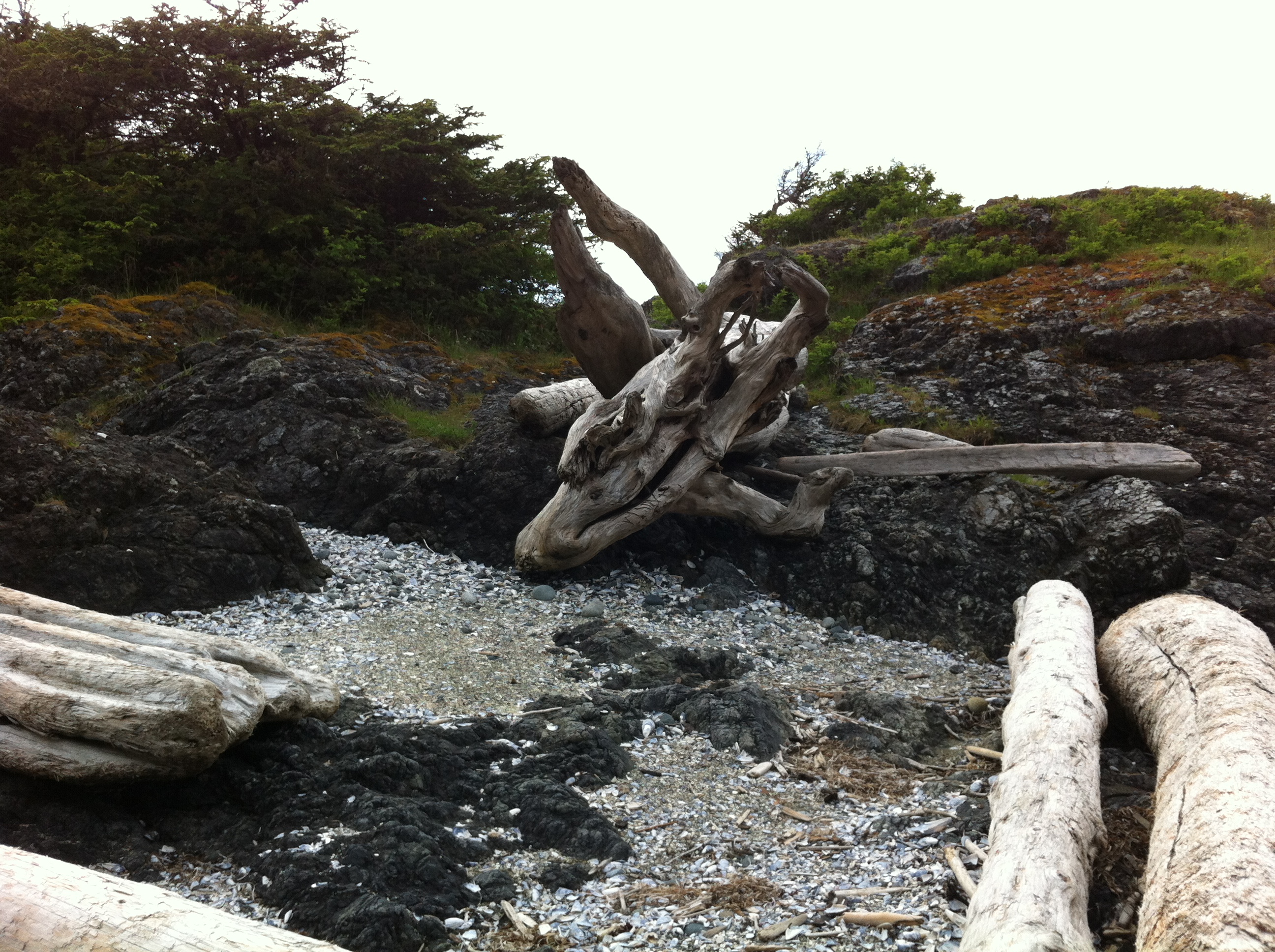
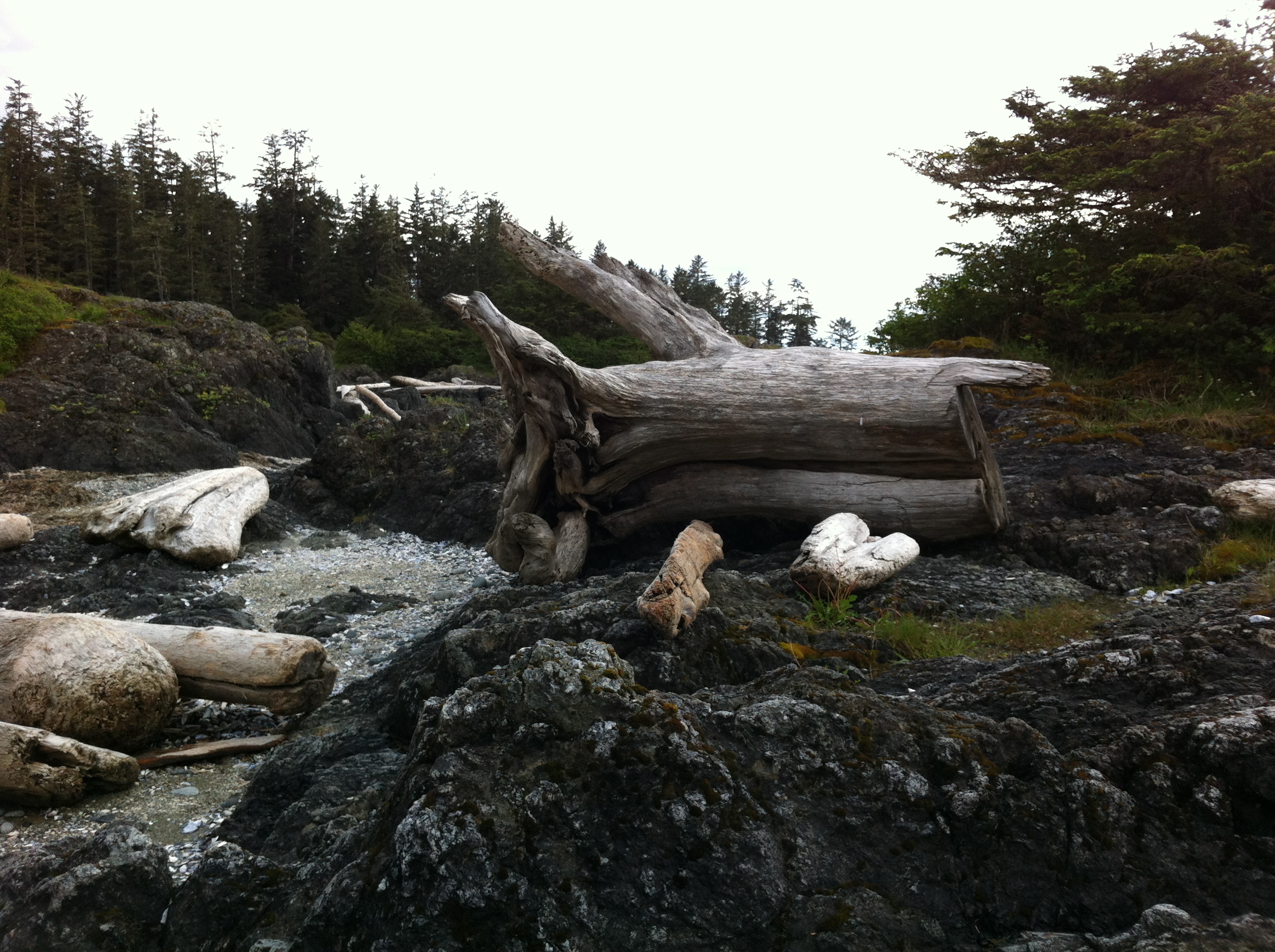
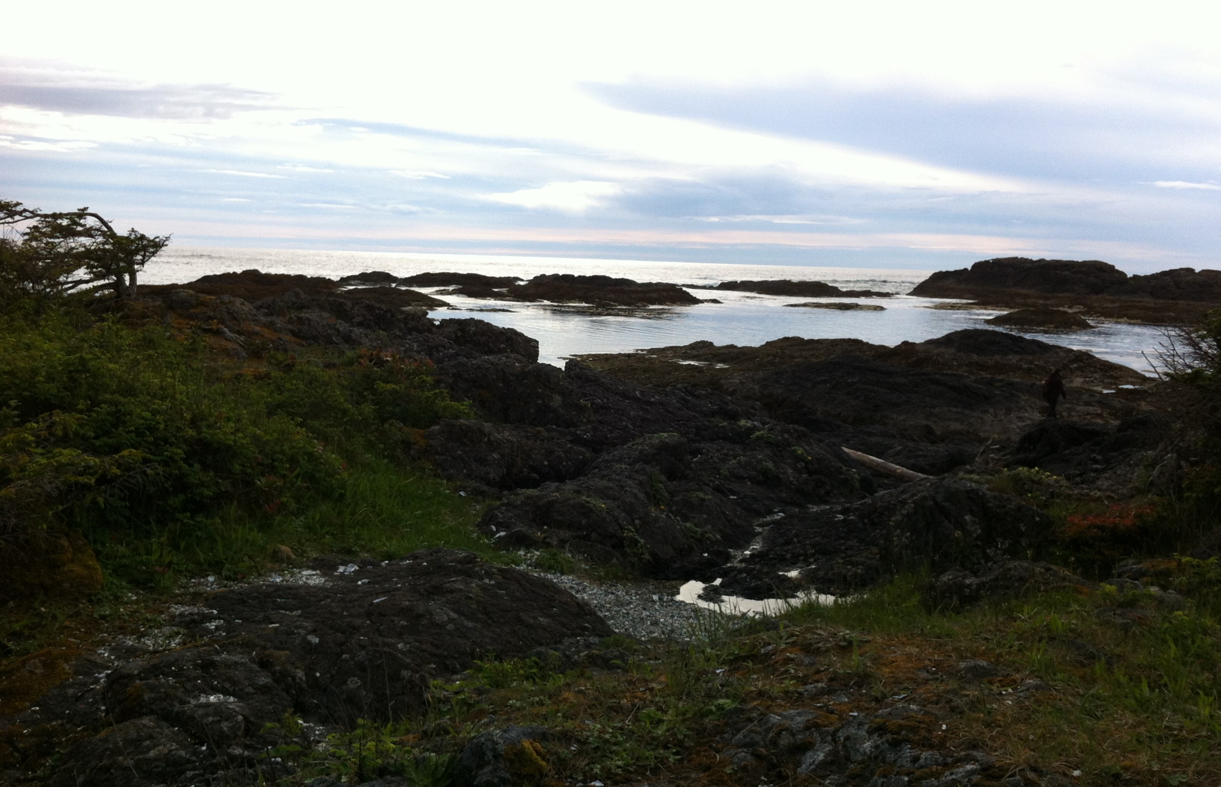
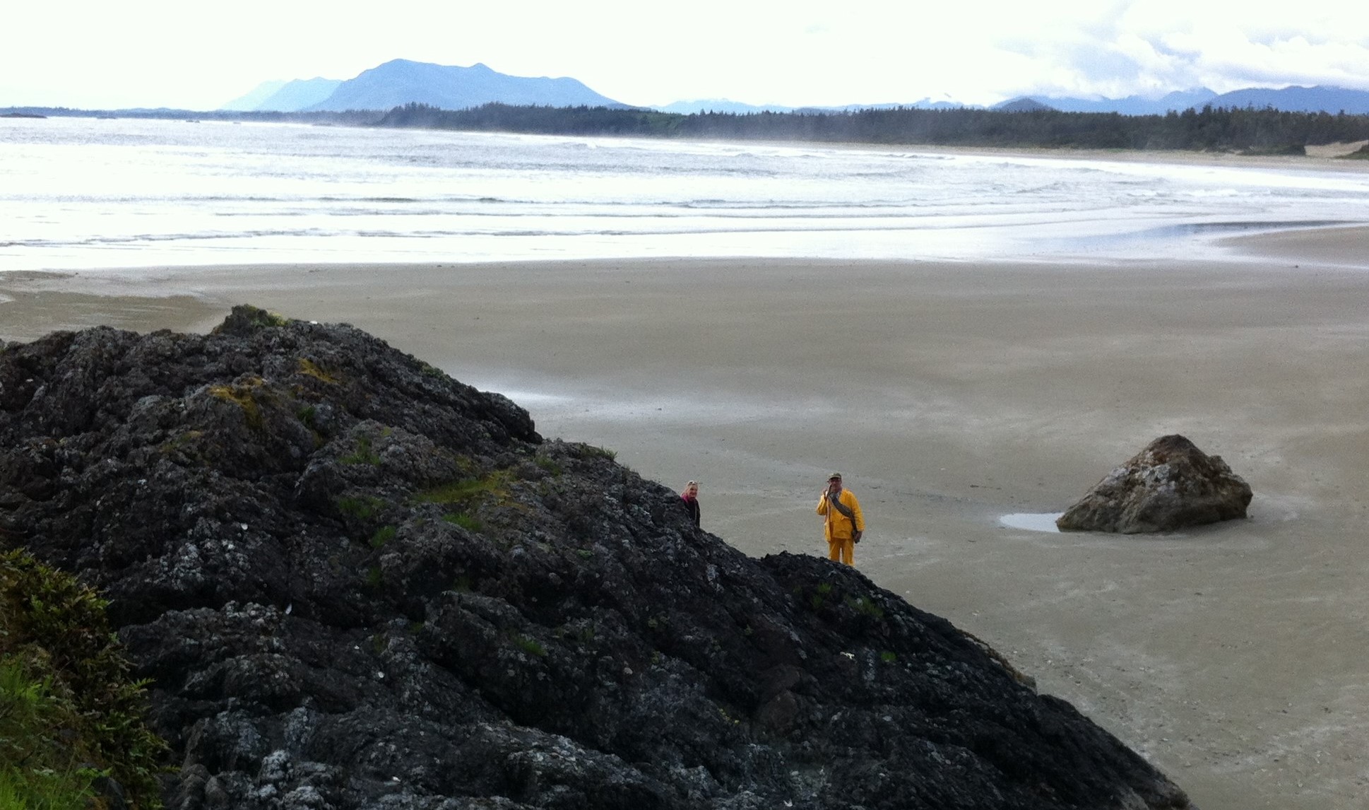
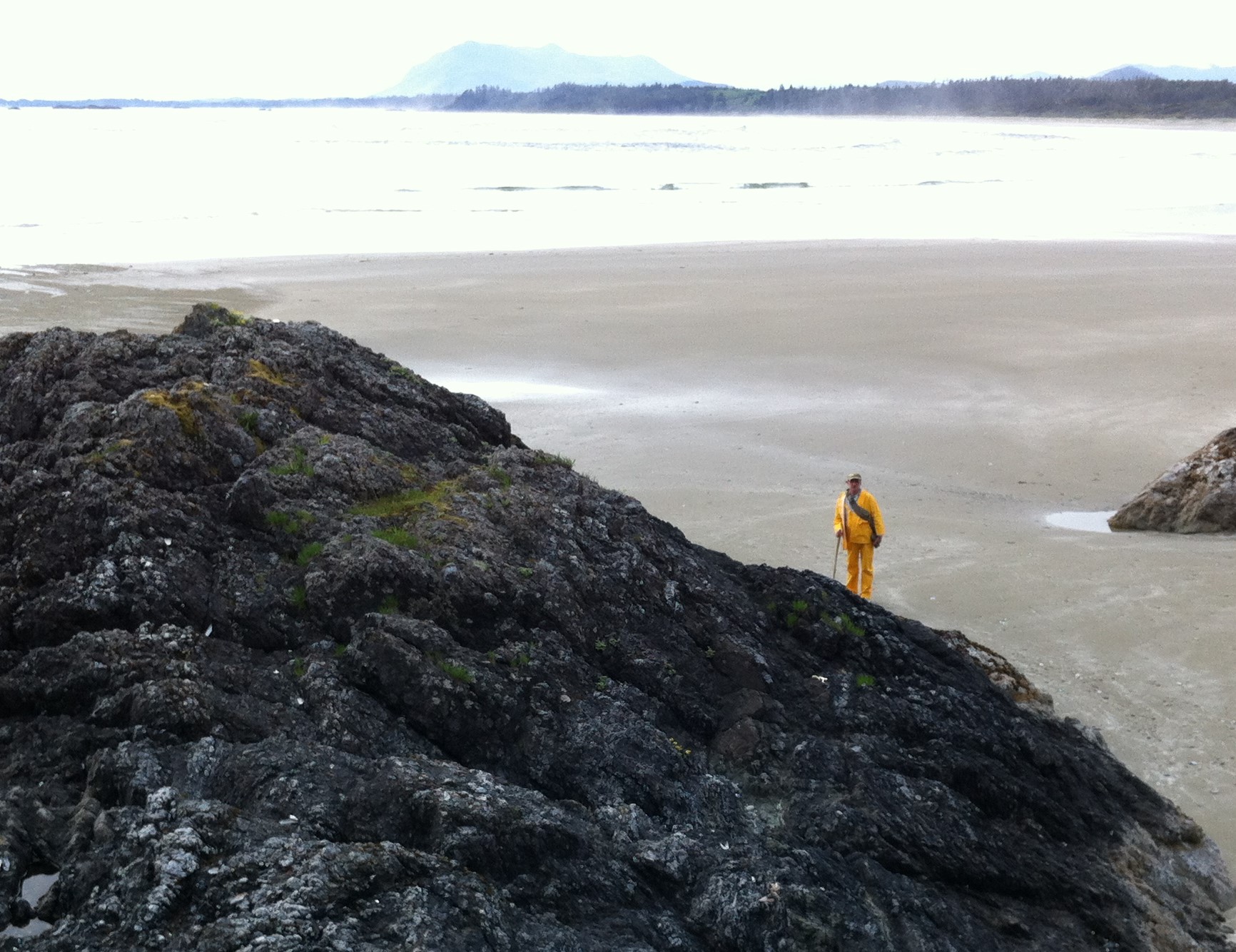
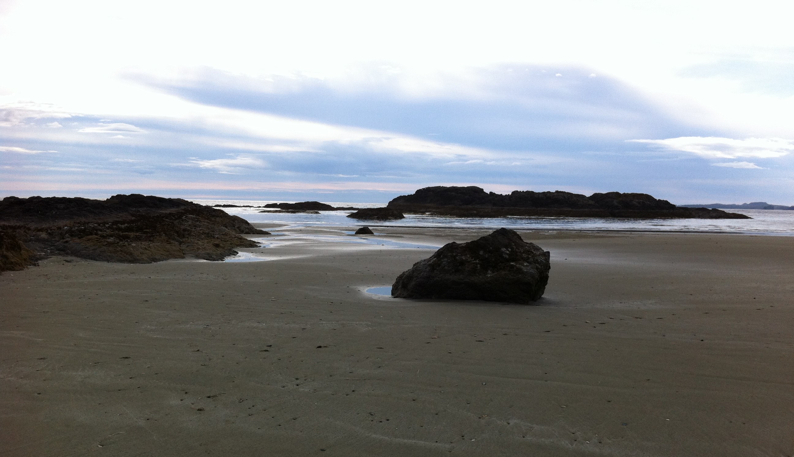
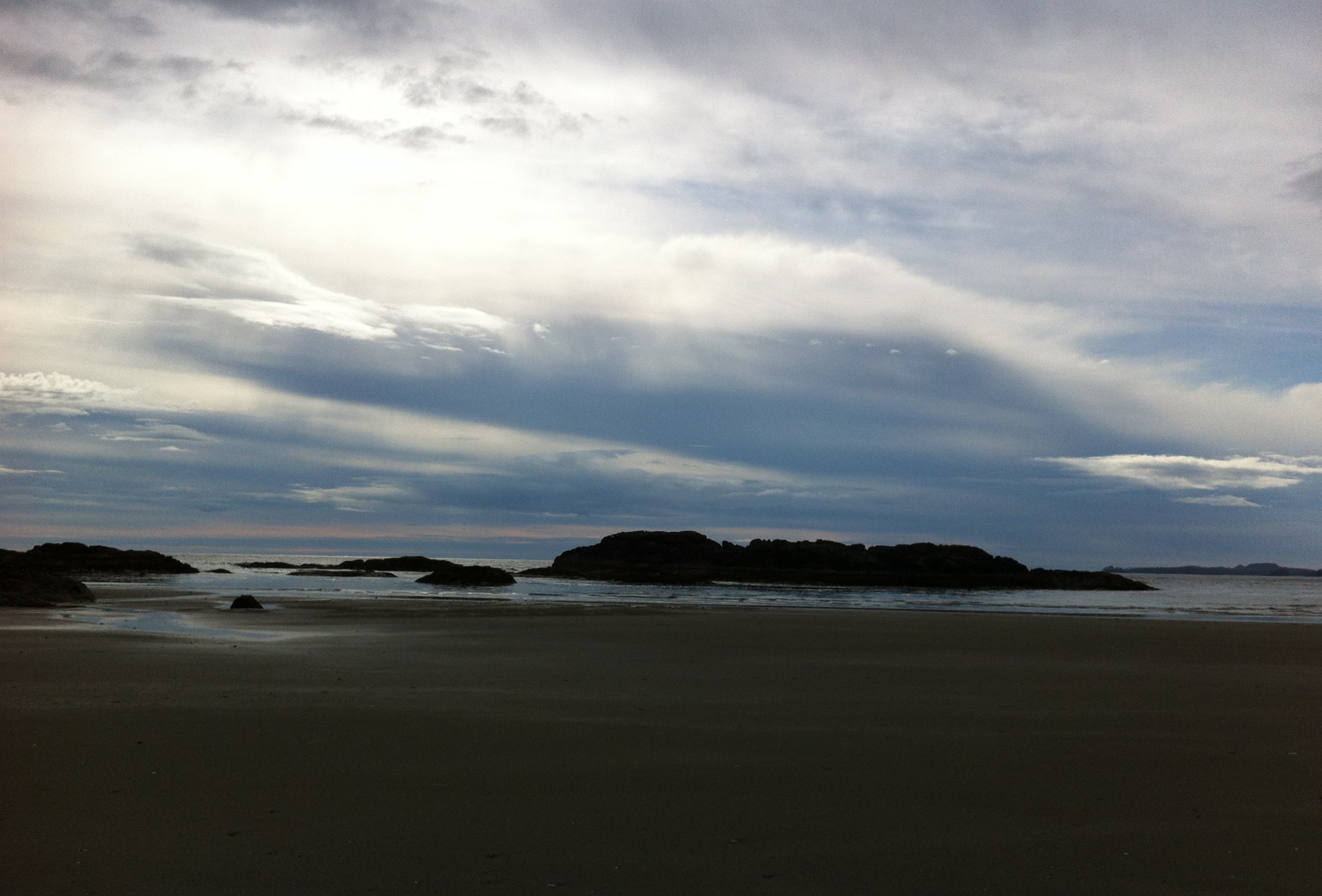
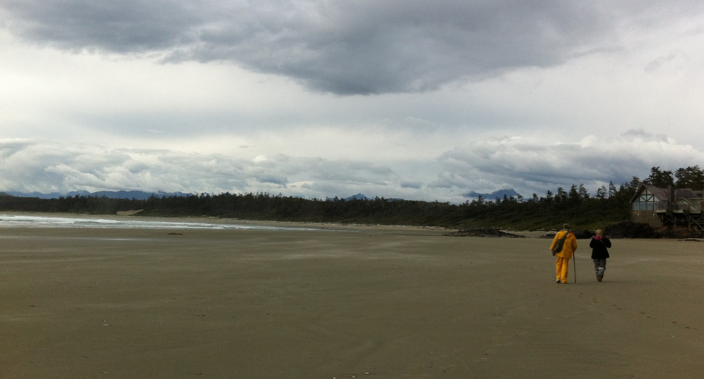
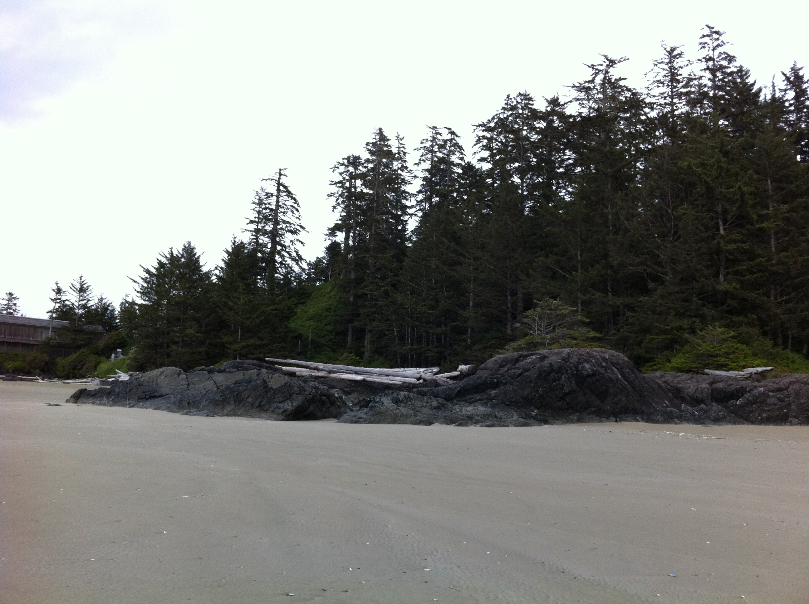
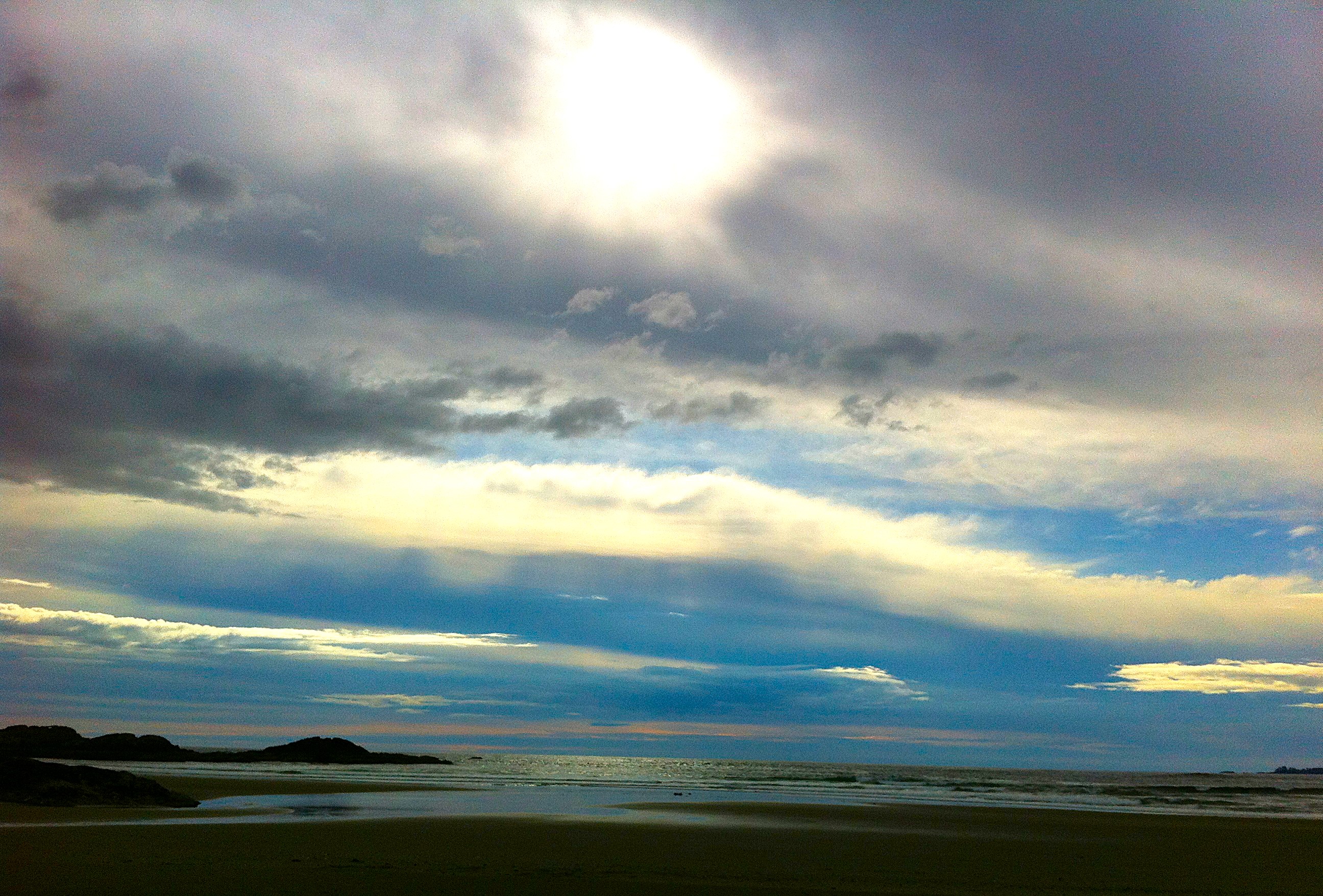
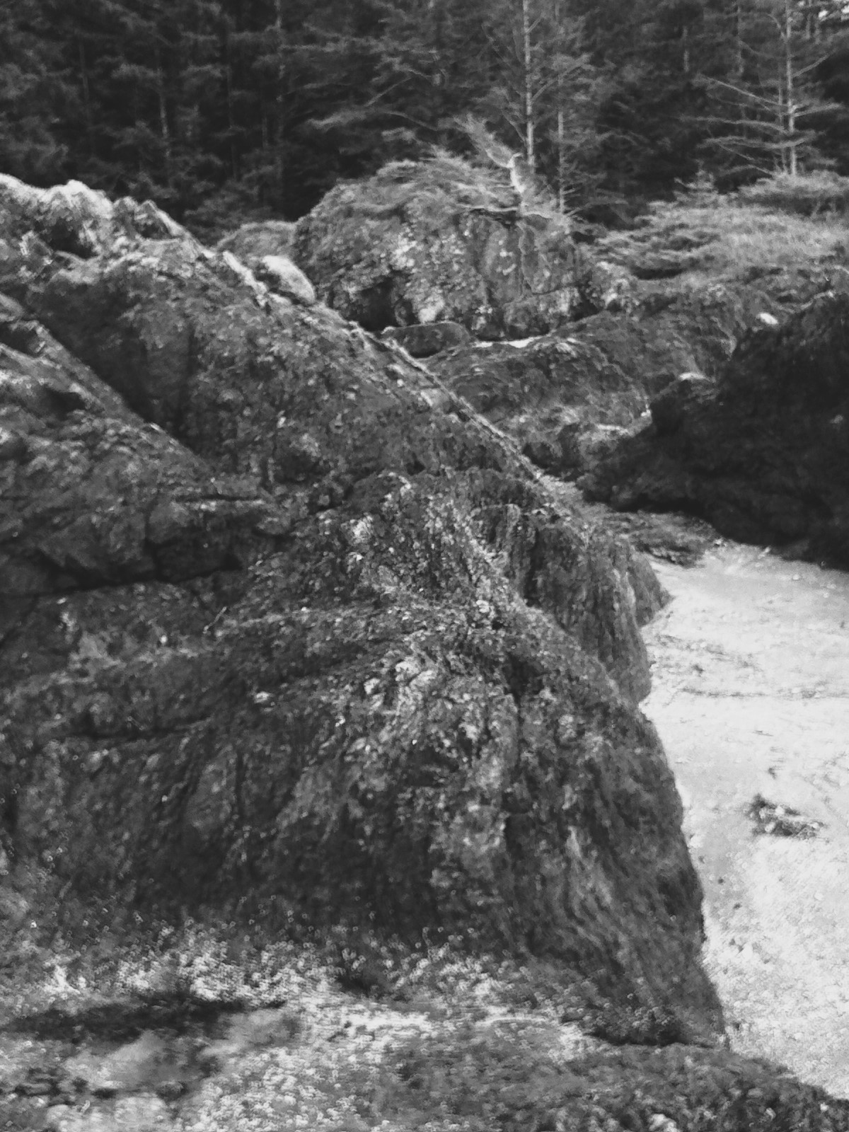
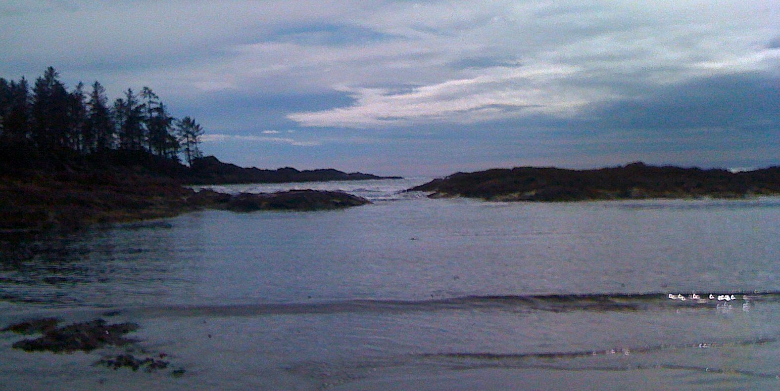
But first the awe inspiring shore of the Pacific from the town of Ucluelet to the town of Tofino. The simple fact is that you can actually walk the entire length of the shore from outskirts of Ucluelet all the way to the edges of Tofino on the beach. Through a bit but colorful rocky formations, passing amazing forest on the hills above, where you will find embankments for huge guns that were there during 2 world war searching for expected Japanese naval invasion. If I remember correctly they did notice one Japanese small vessel far on the horizon and fired few rounds. The shells landed in the waters far from the ship but it was enough to make it turn around and disappear.

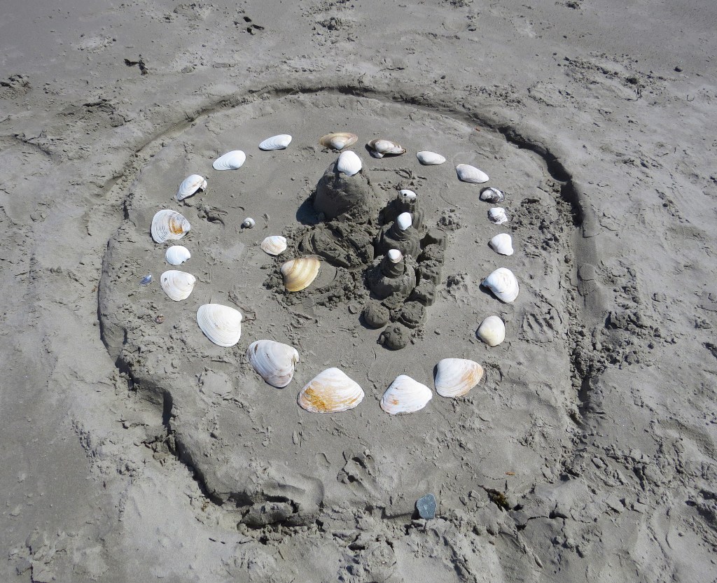
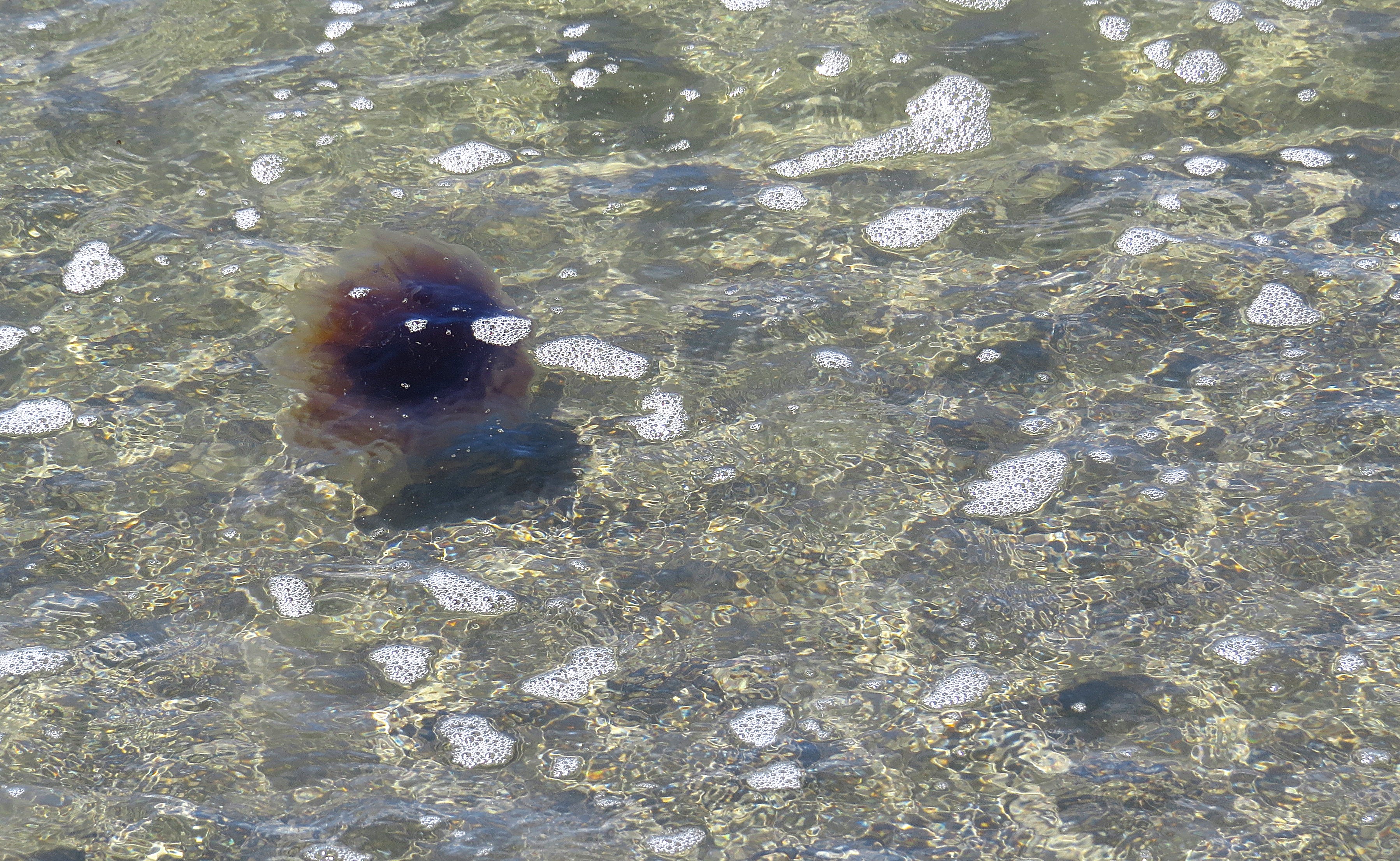
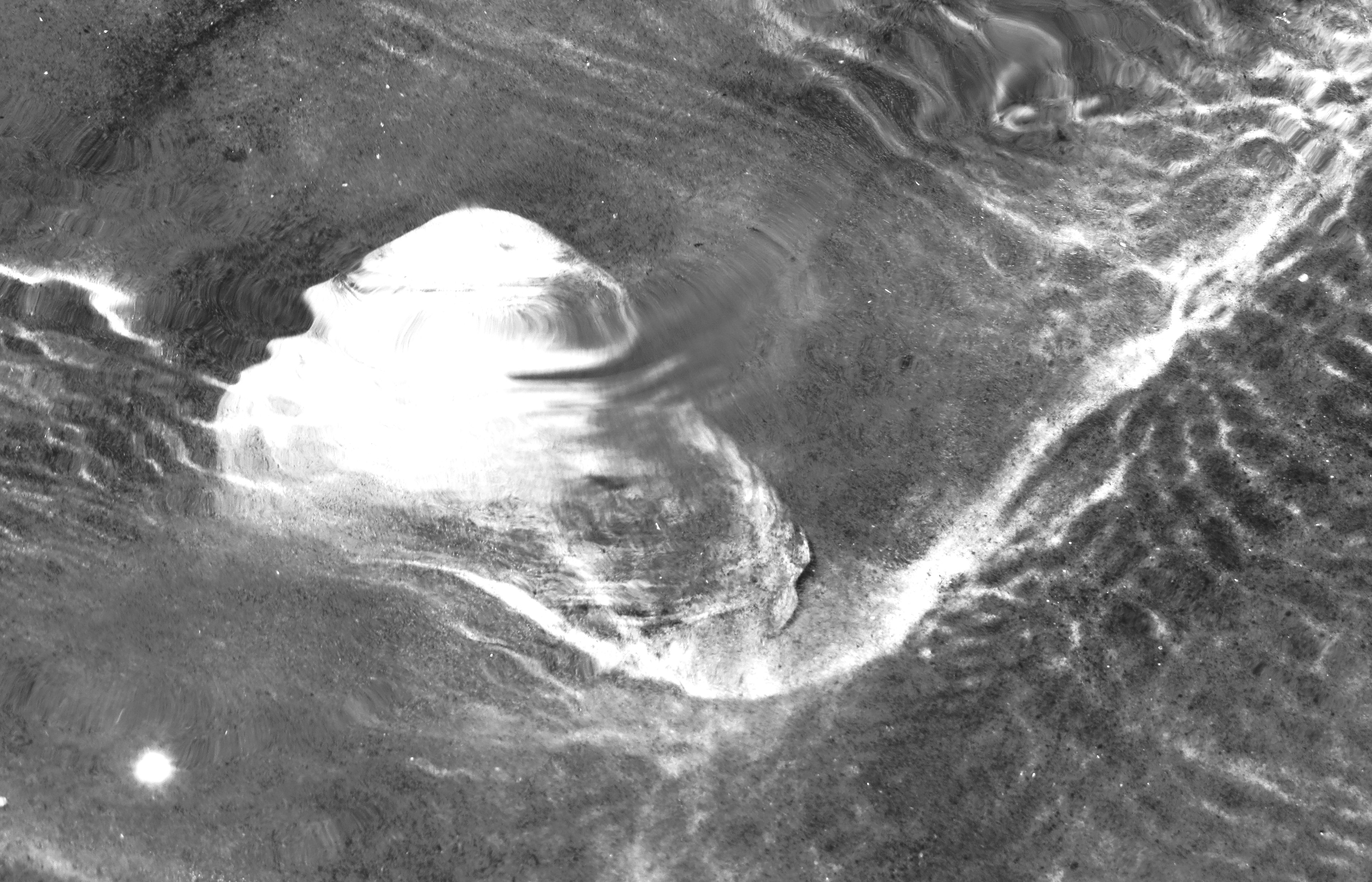
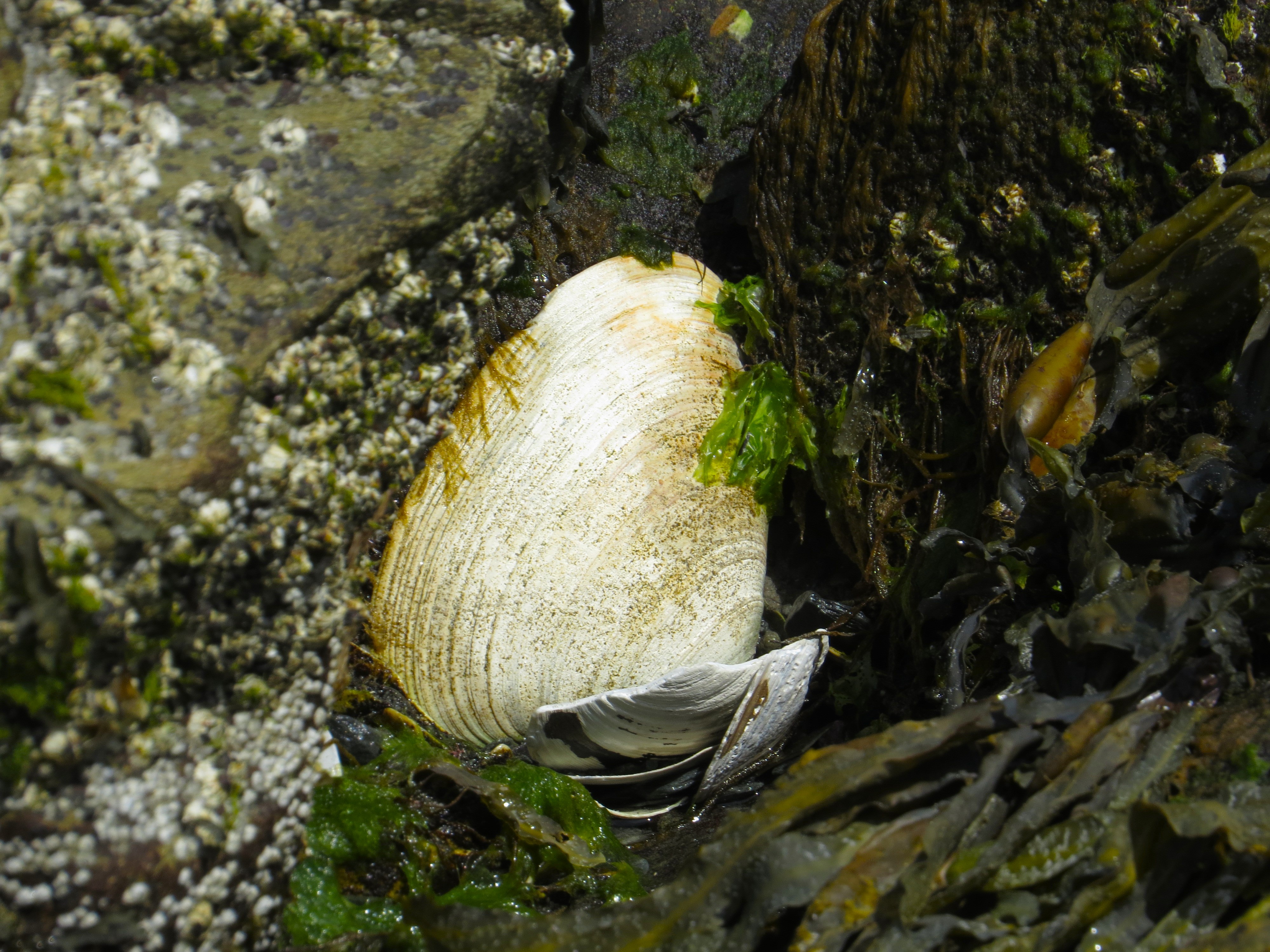
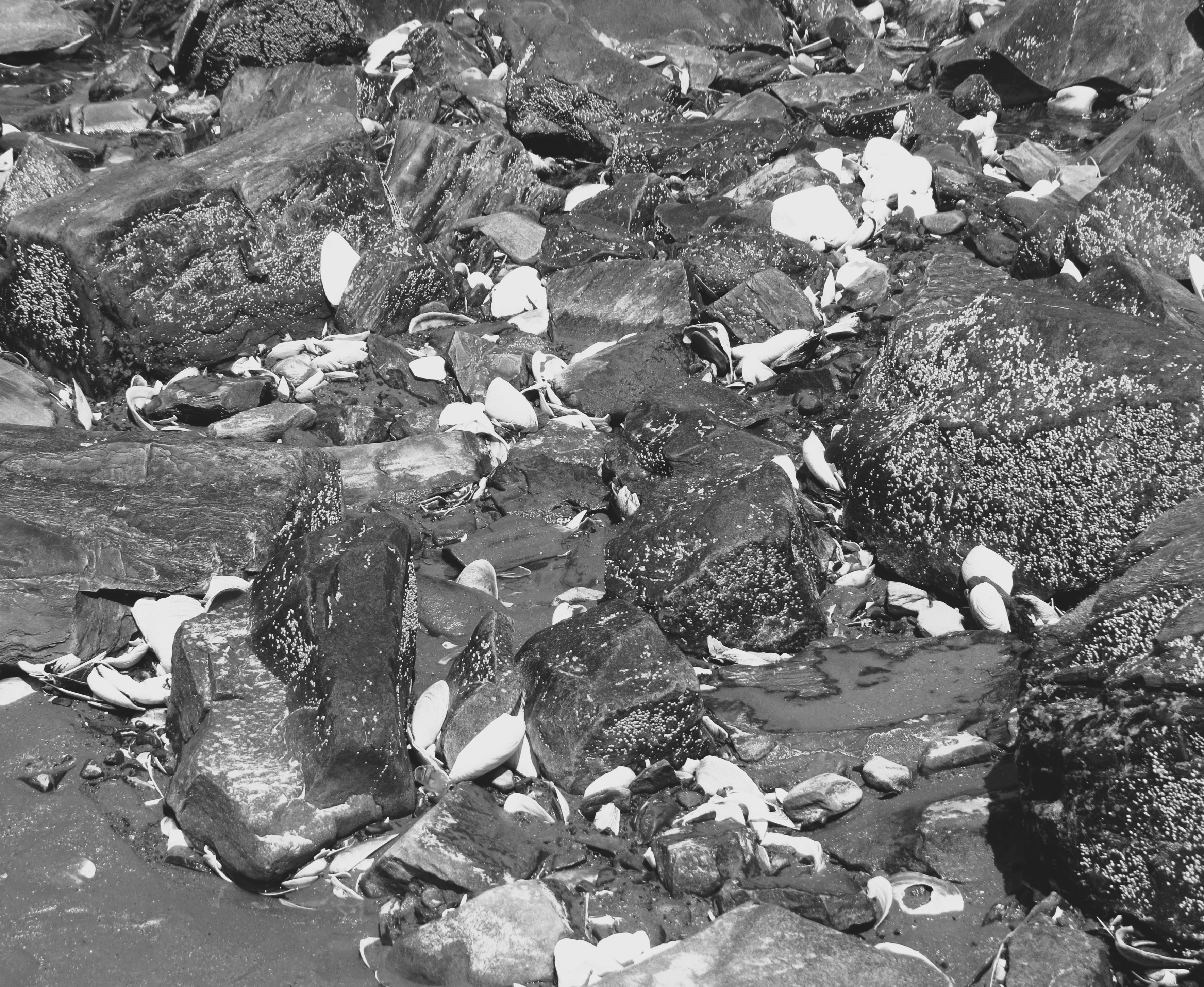
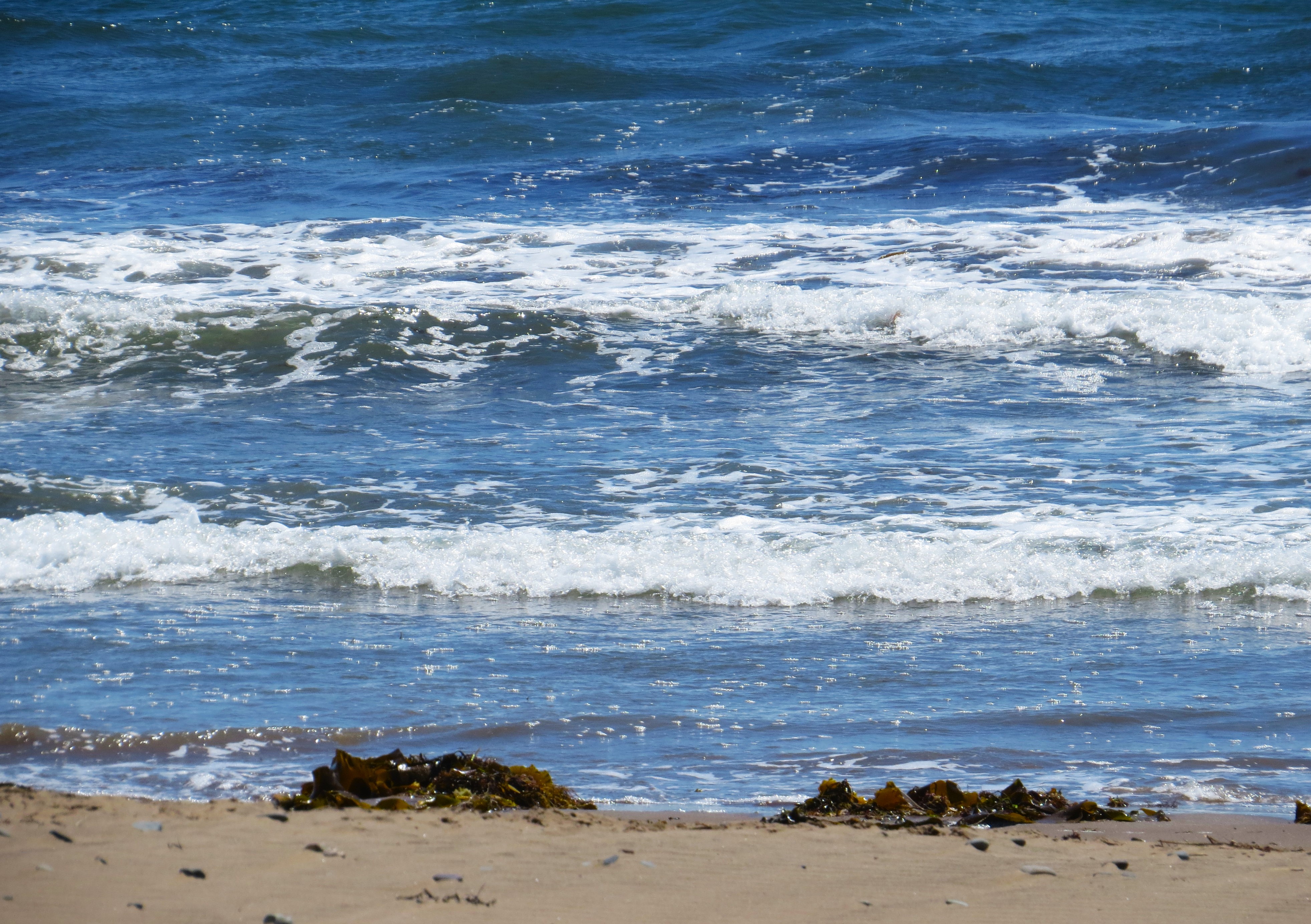
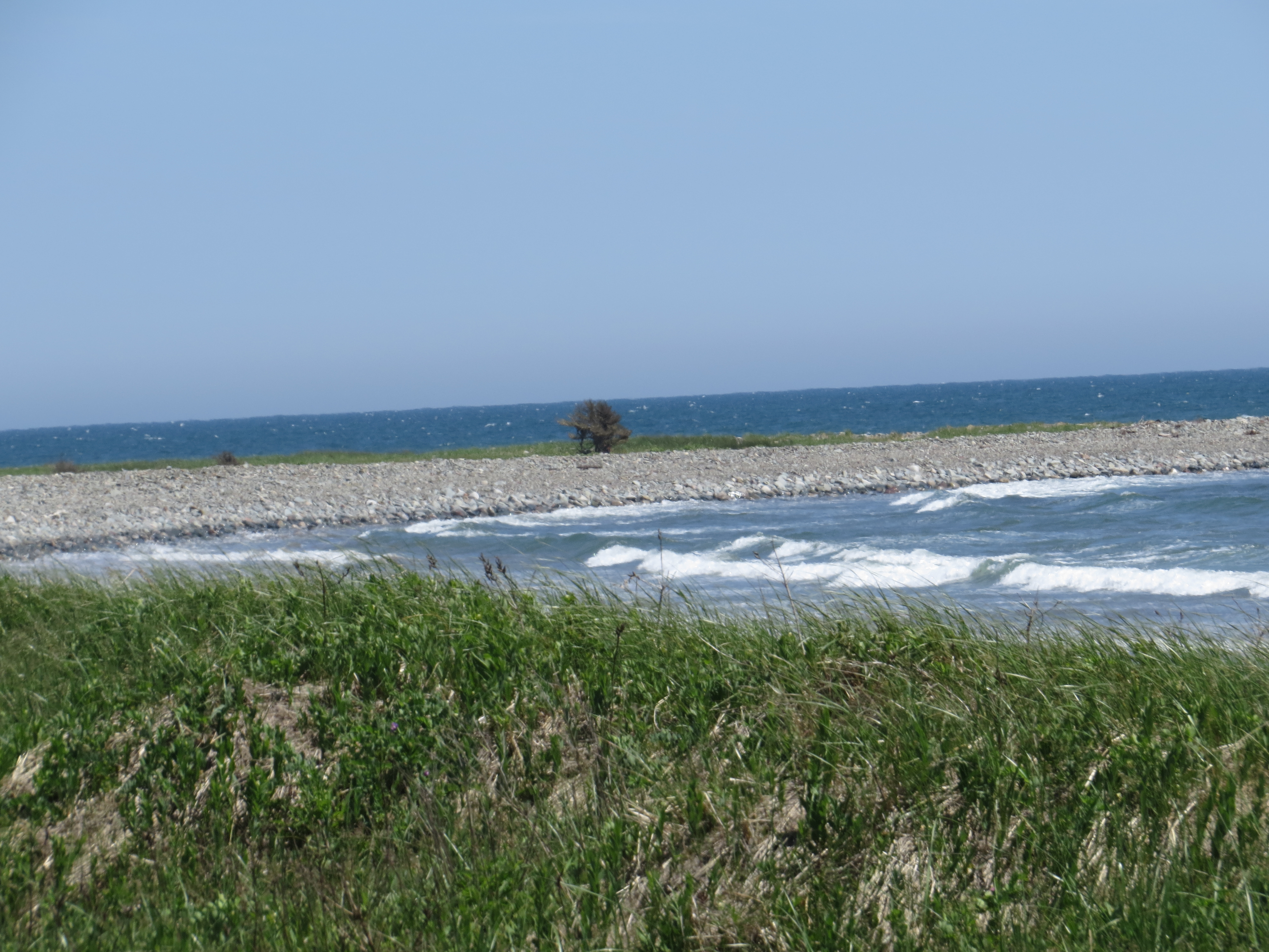
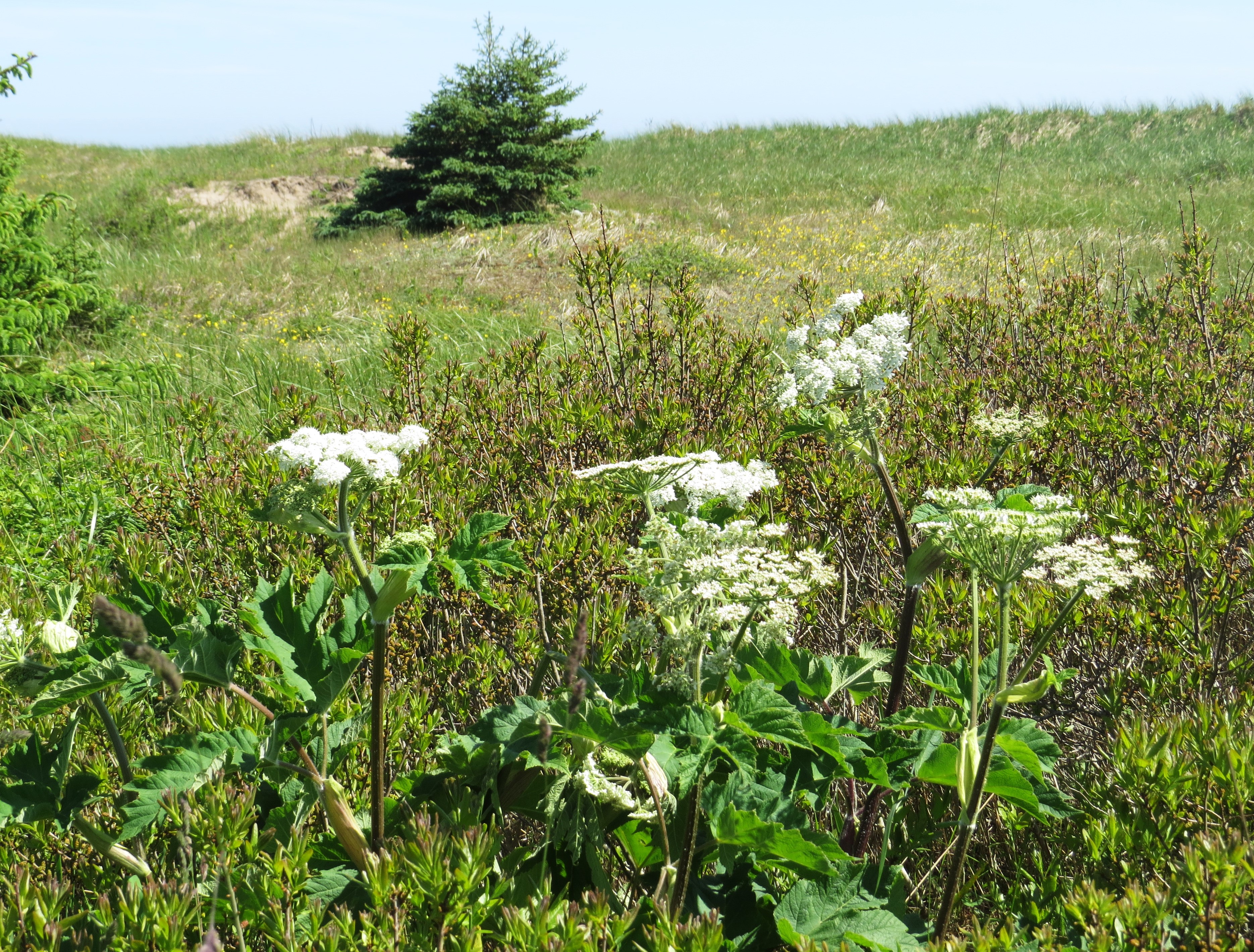
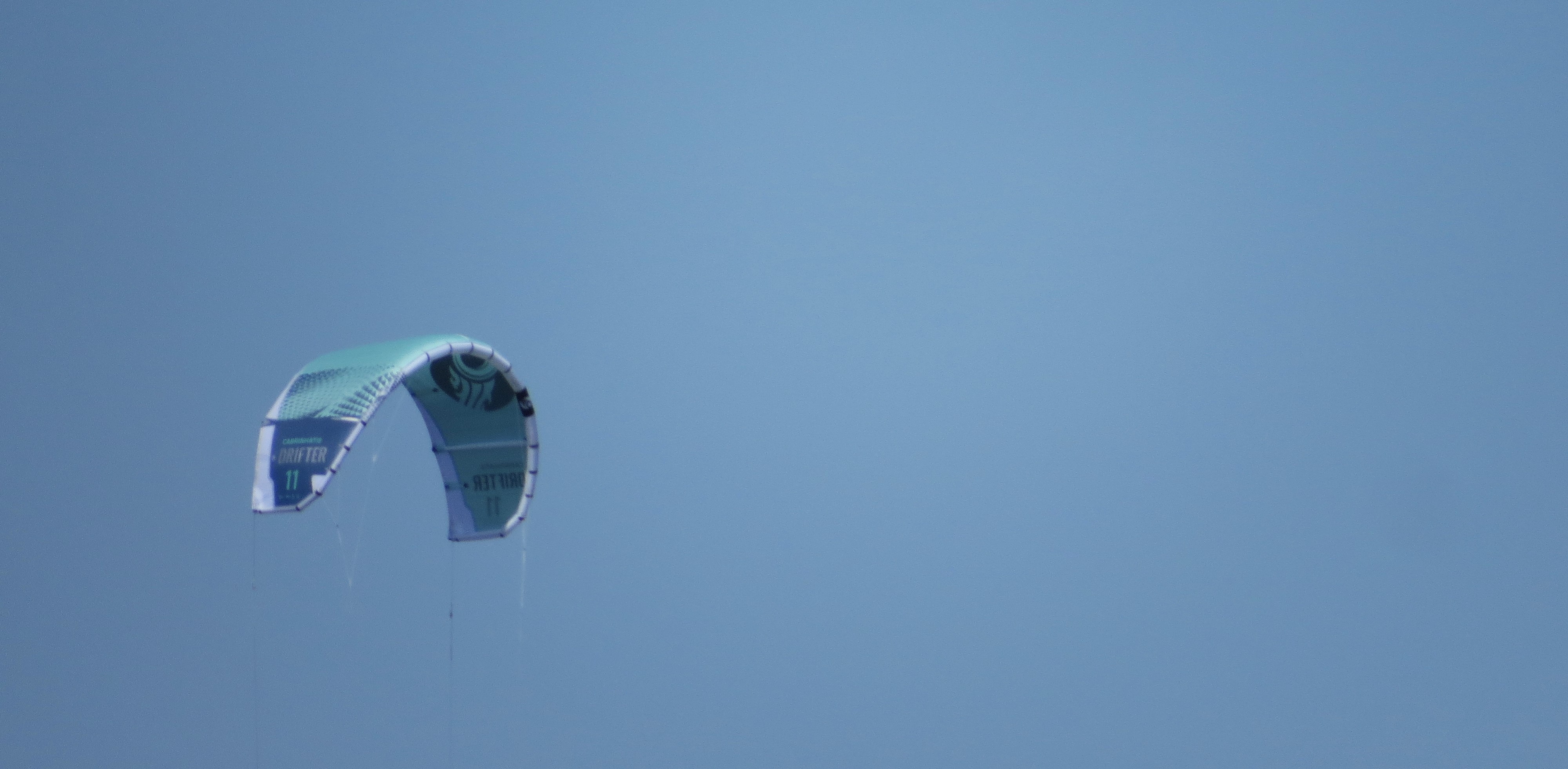
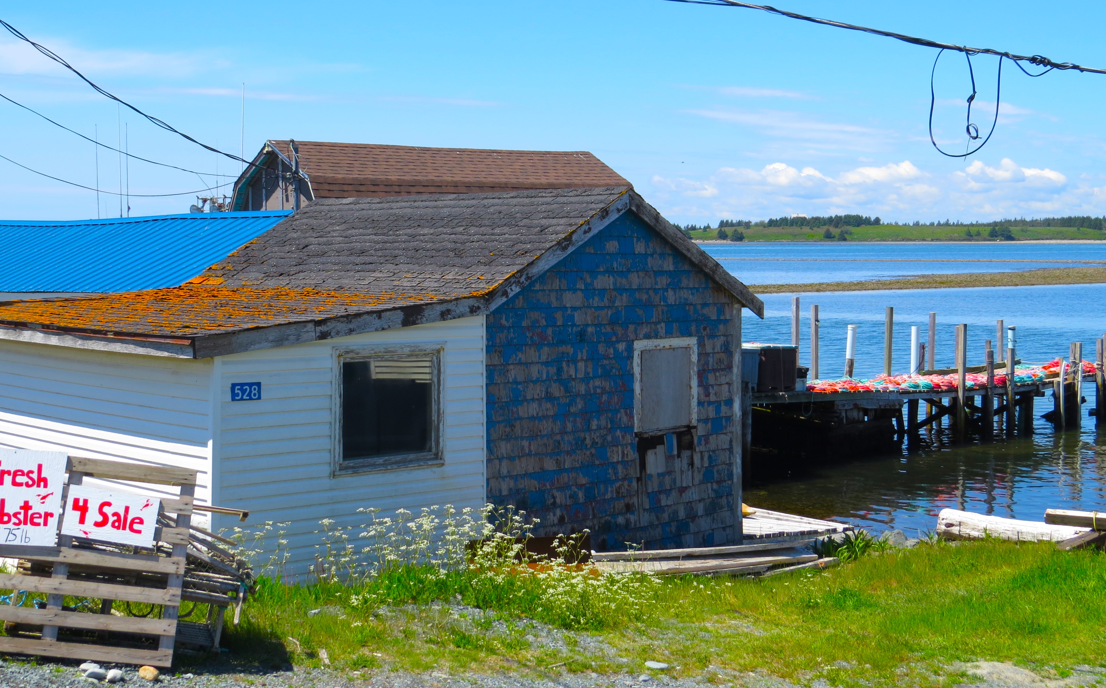
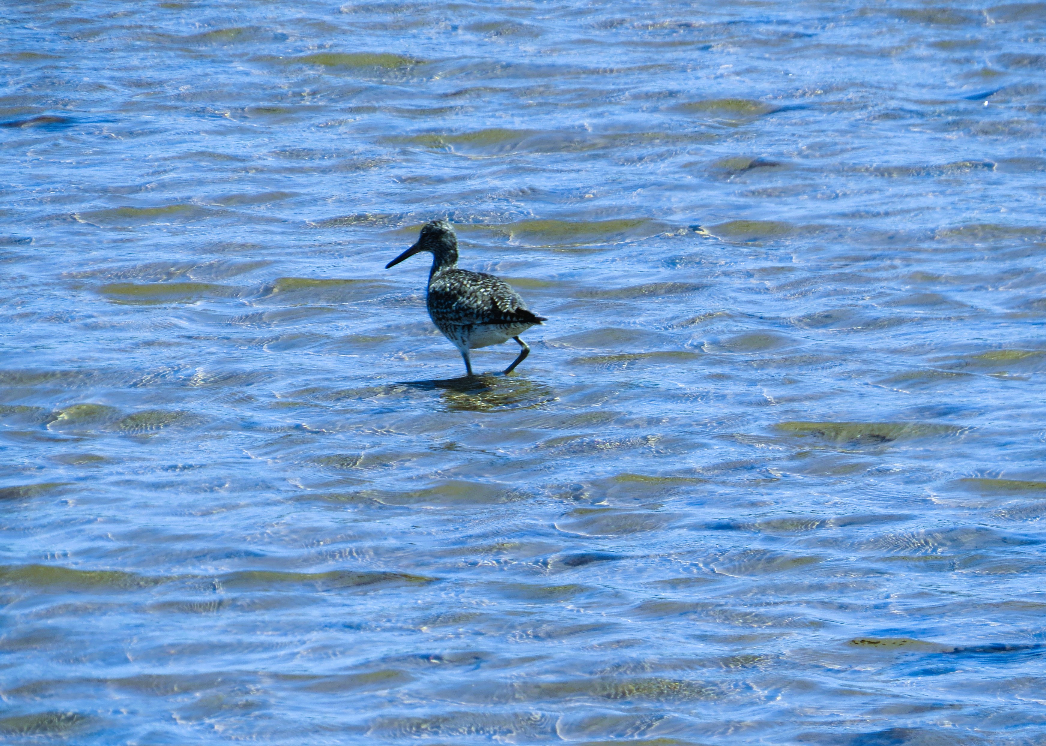
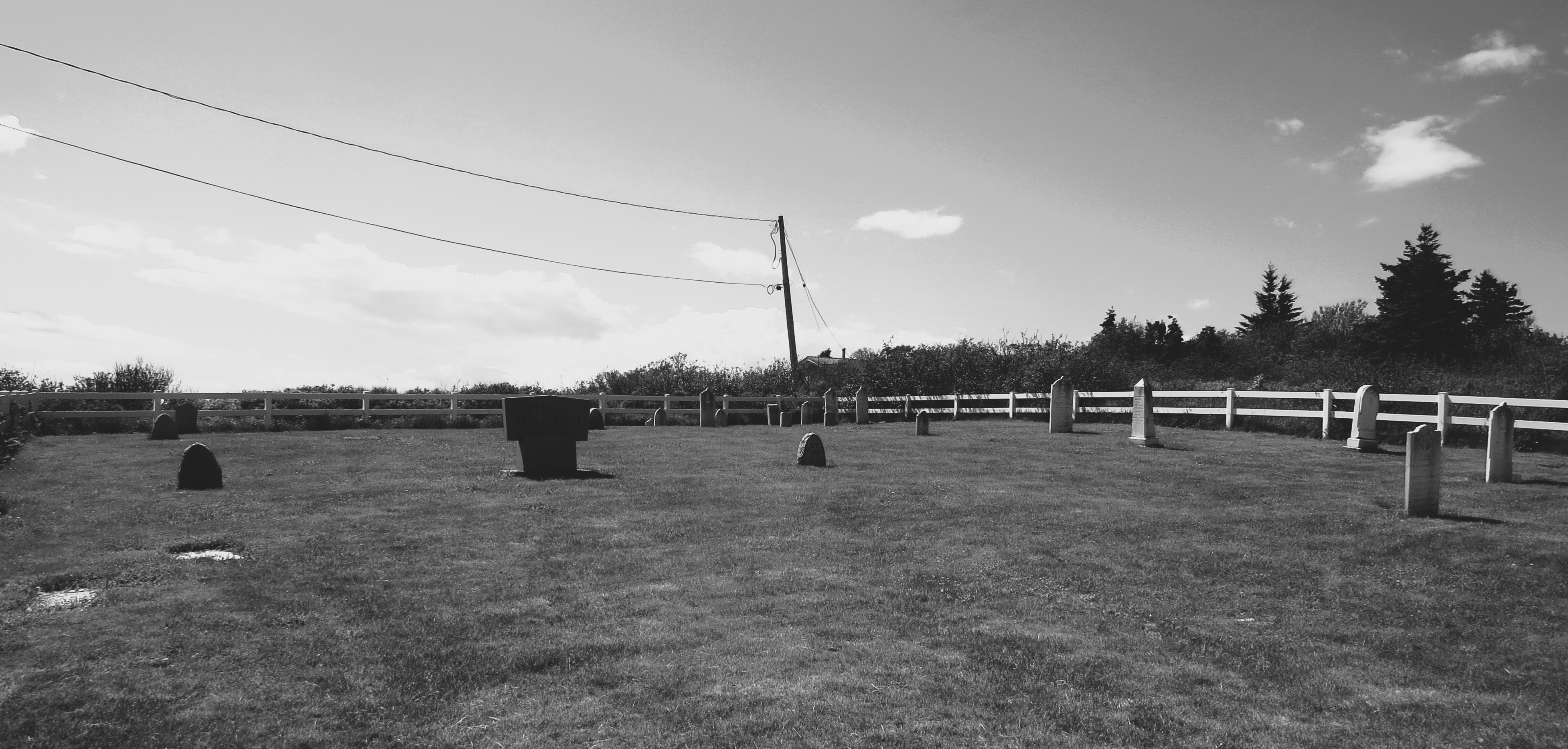
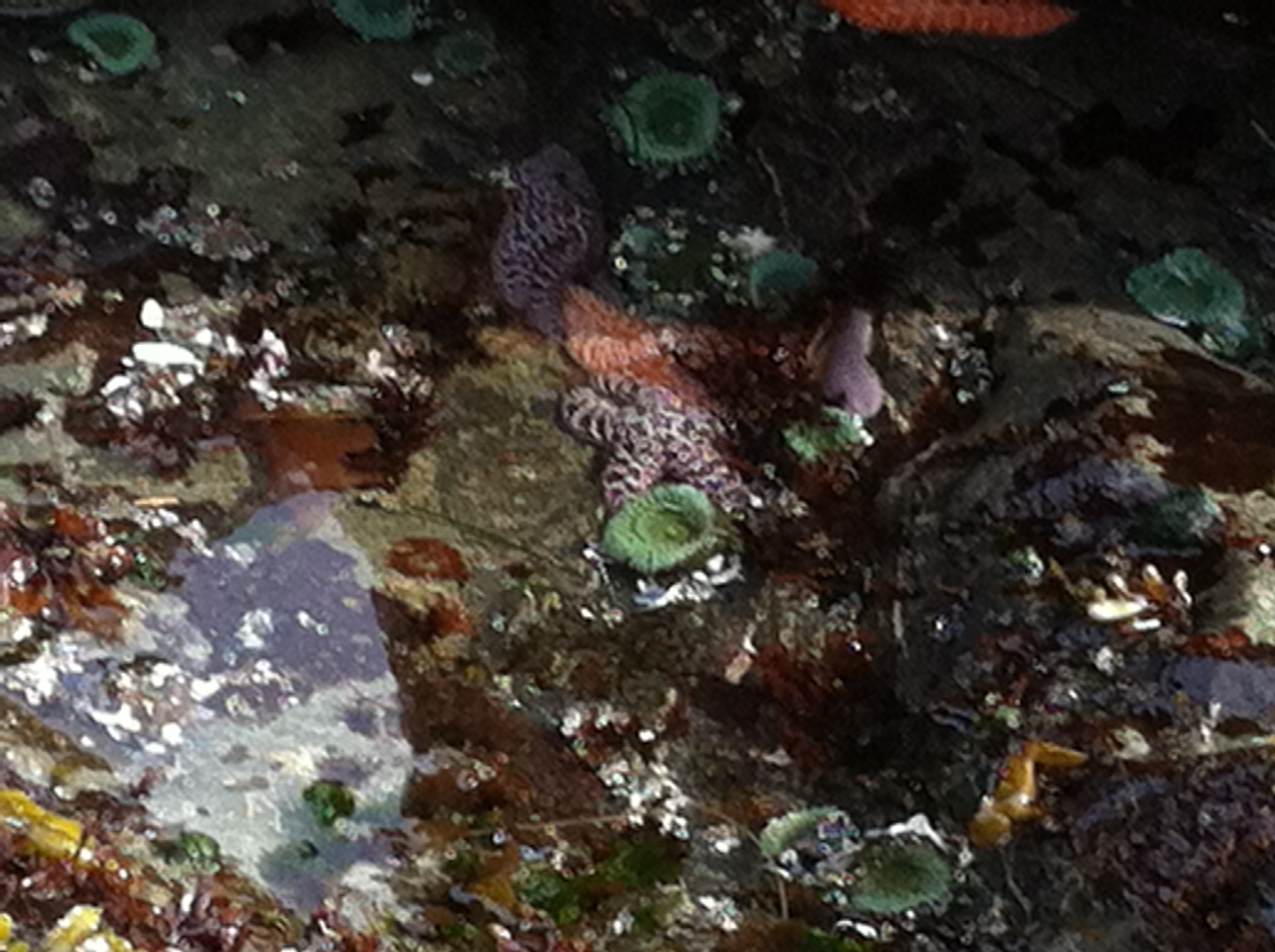
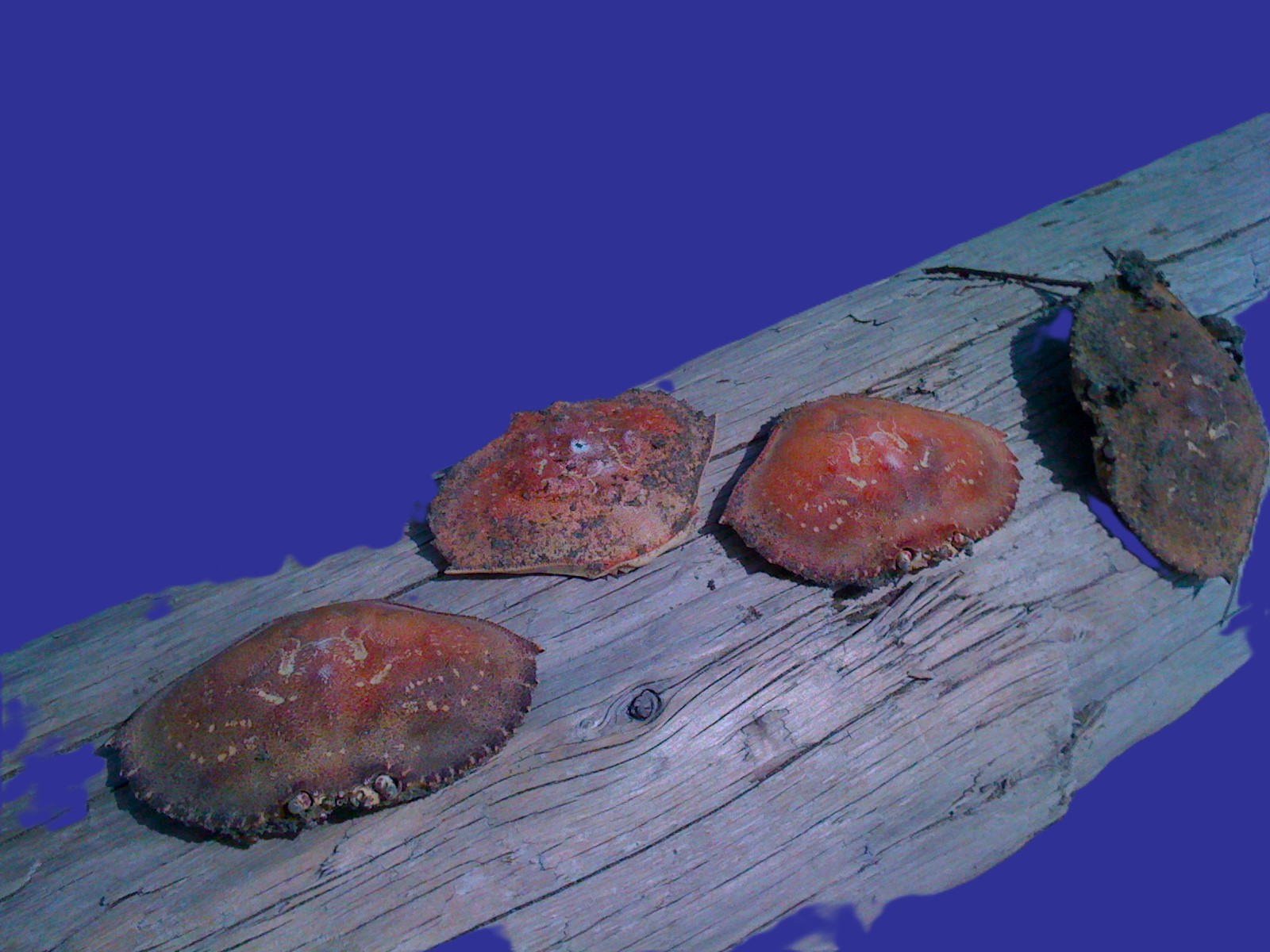
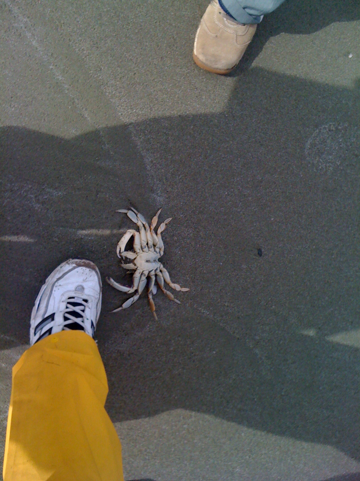
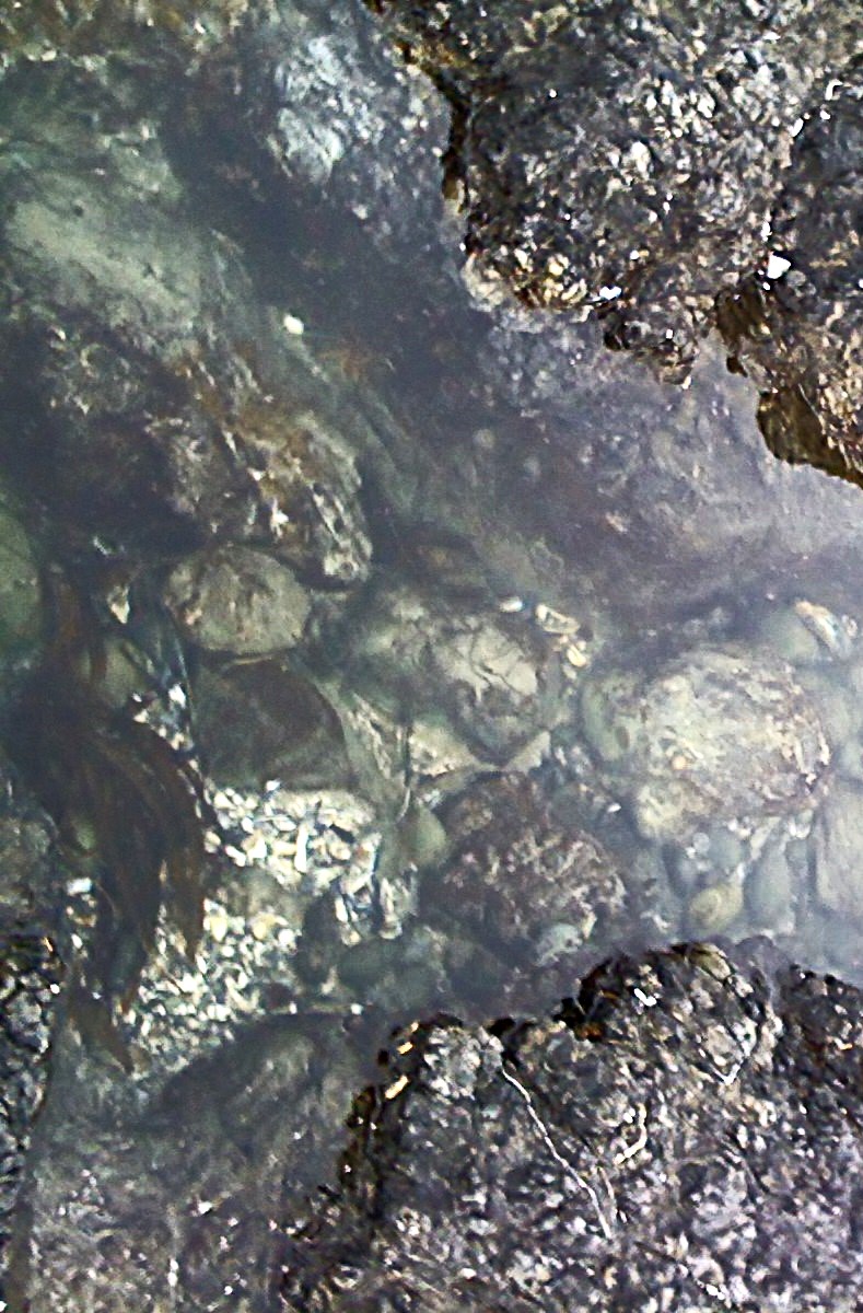
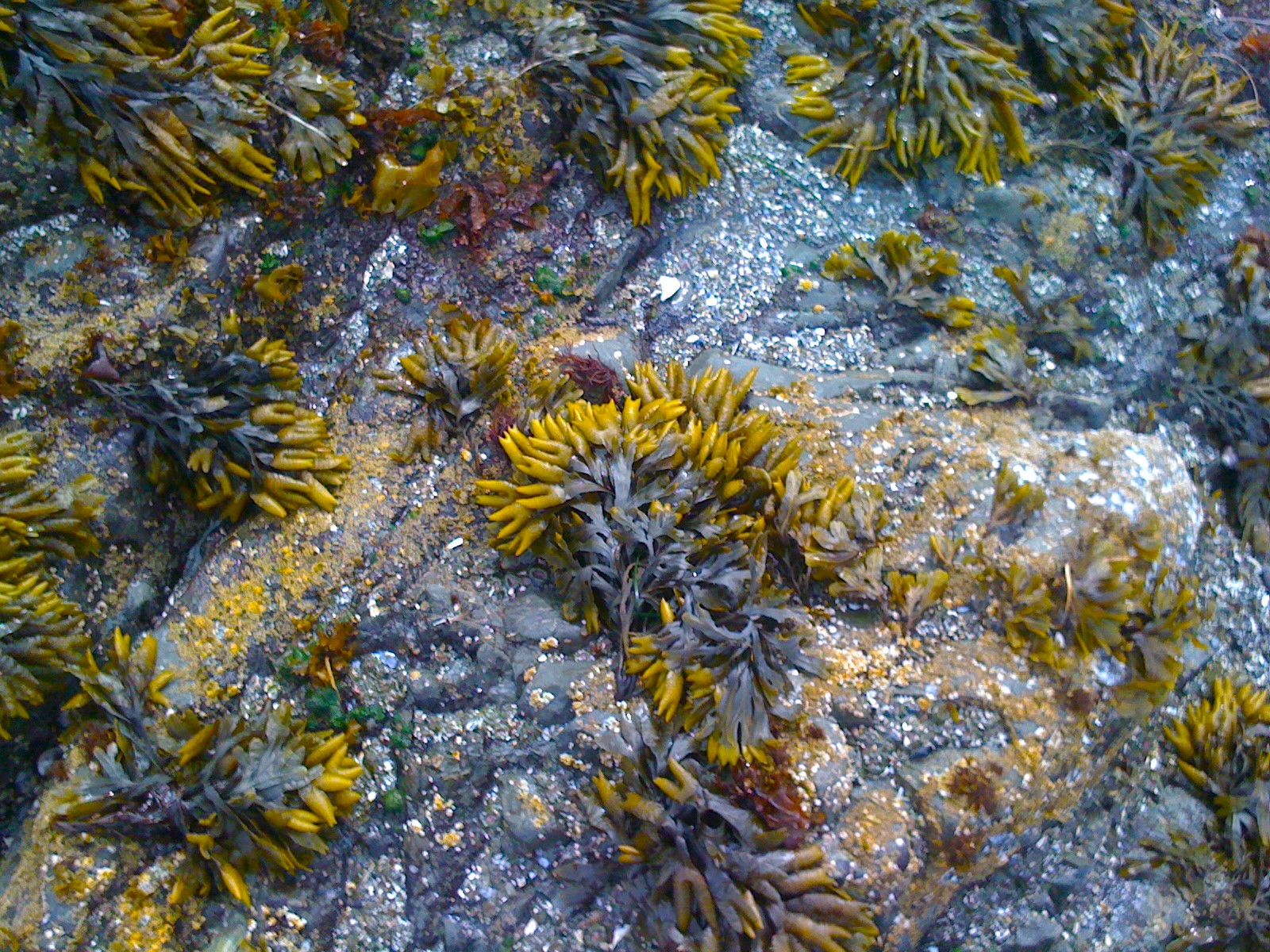
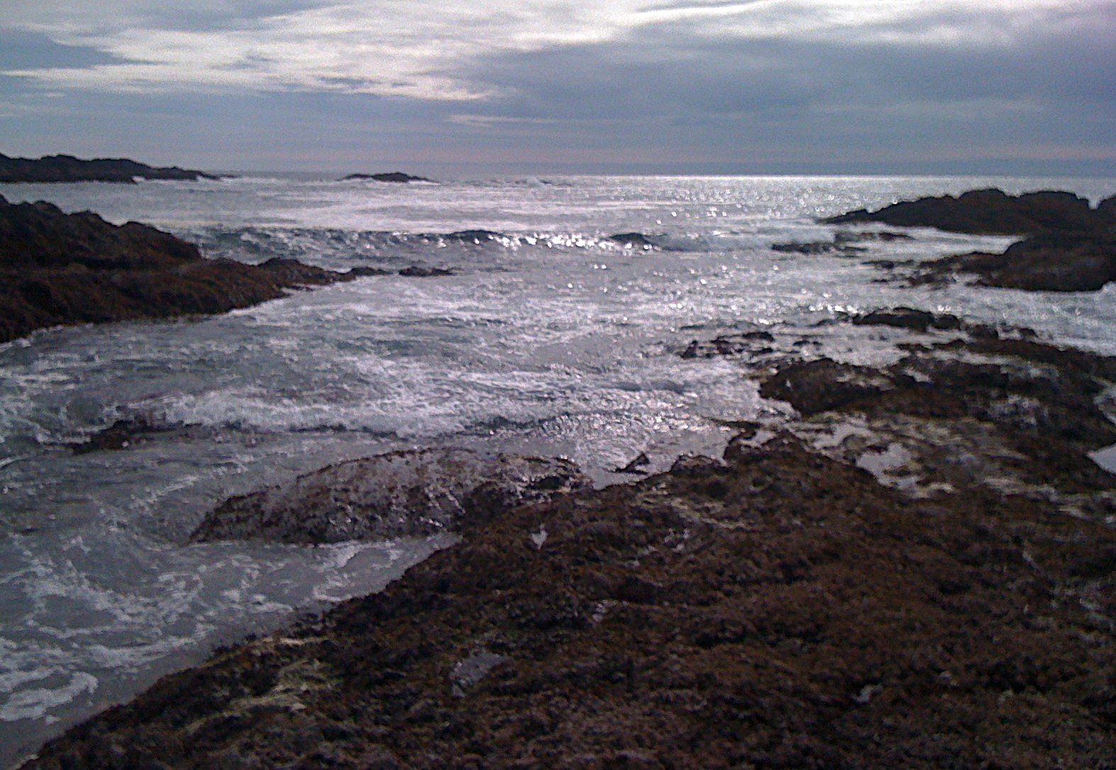
The edges of the beaches in Nova Scotia Atlantic are full of oval clam shells and reddish tops of dead crabs; the Pacific beaches are covered with dark bluish mussels and rocky crevices with gardens of amazing anemones.

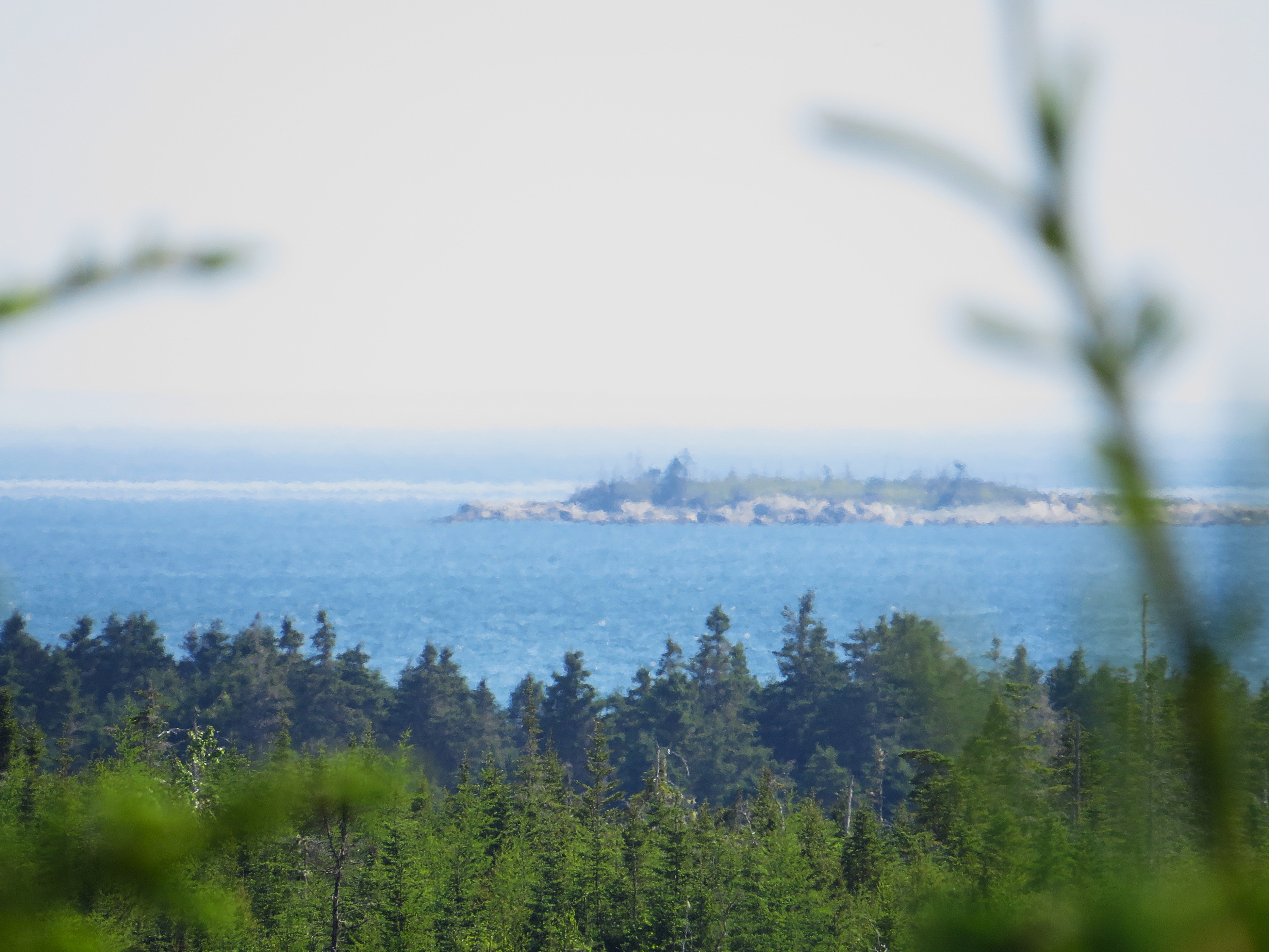
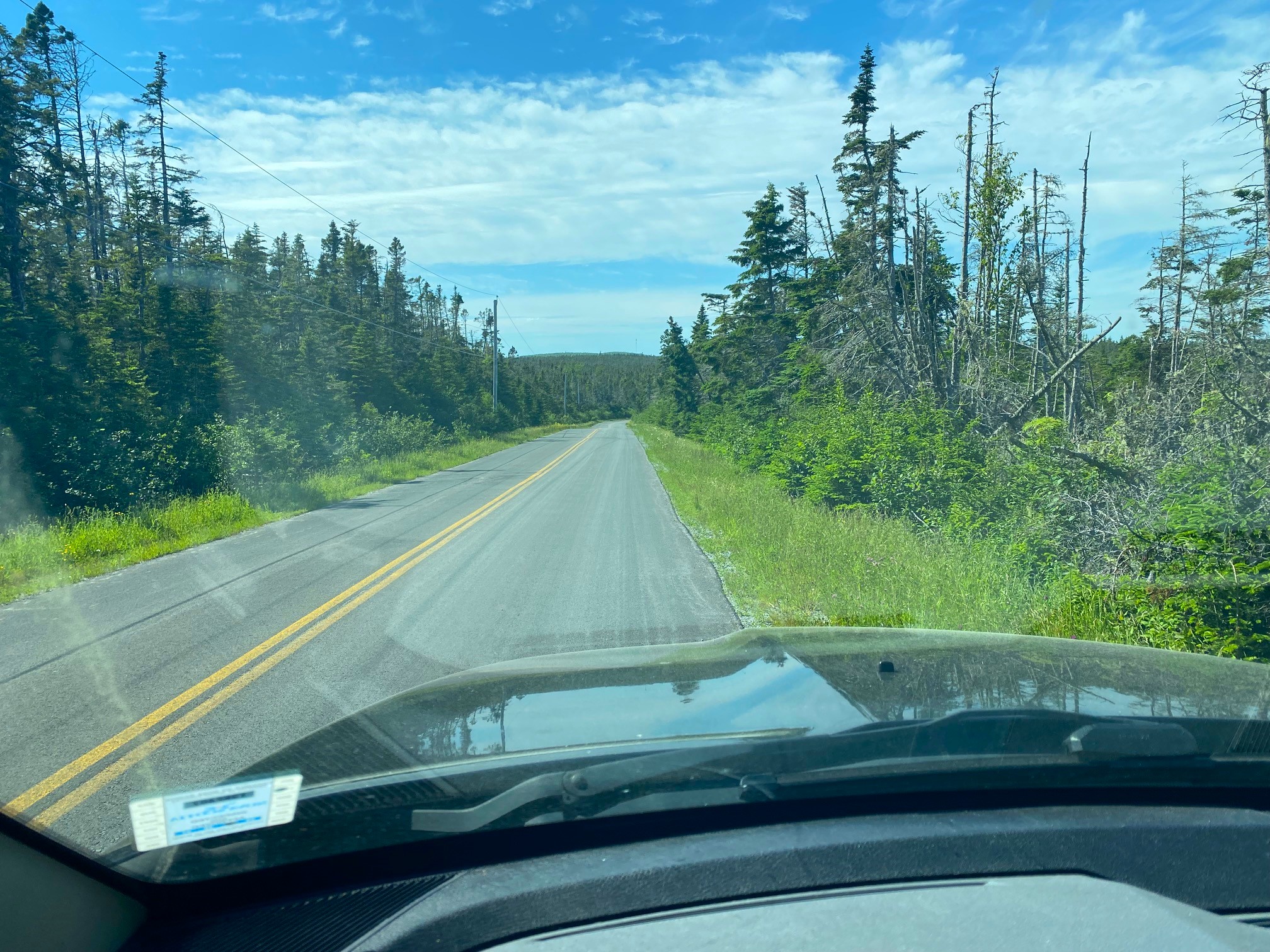
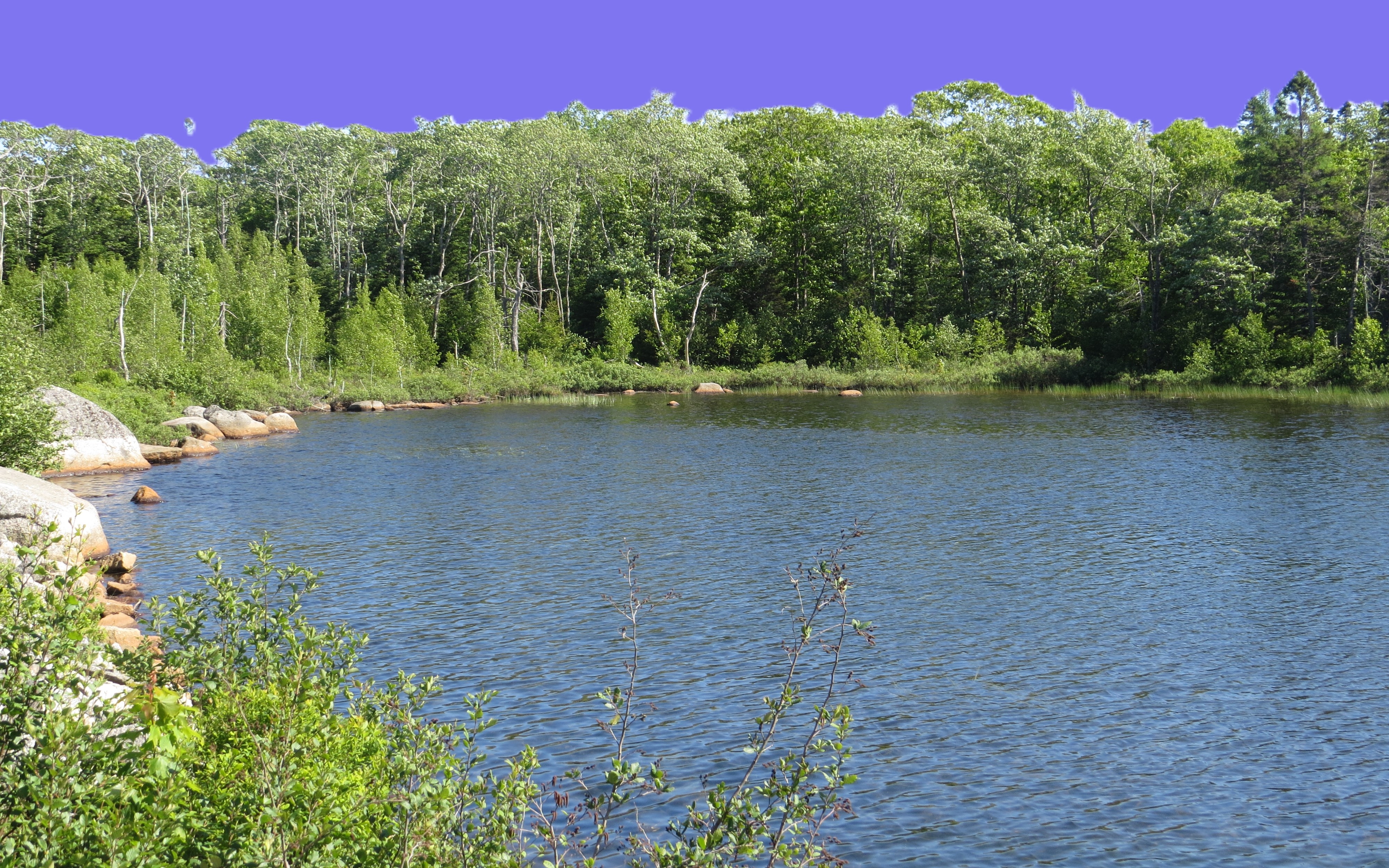
Long Beach, BC but first the road from Alberni to Ucluelet

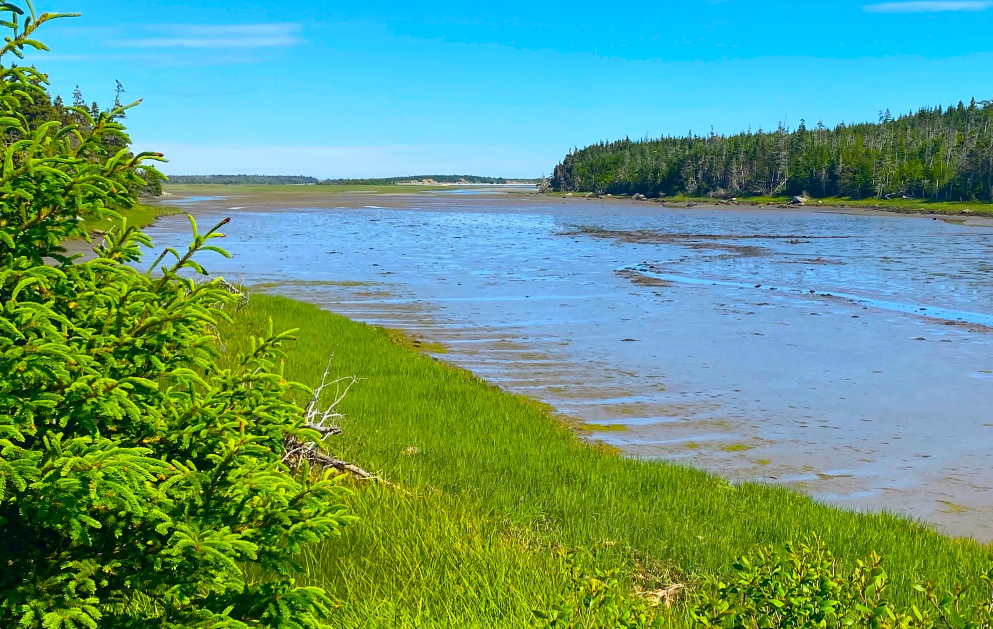
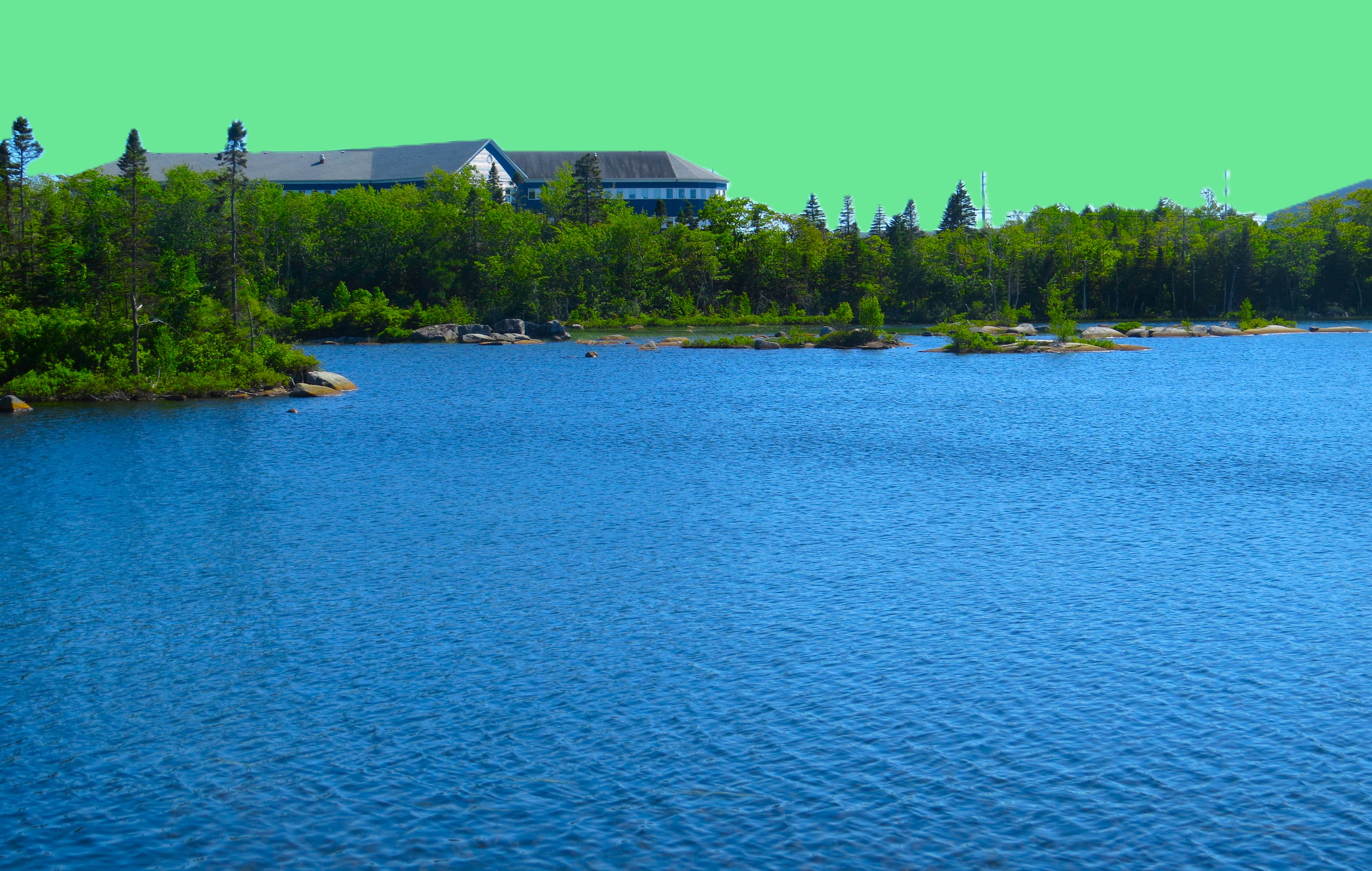
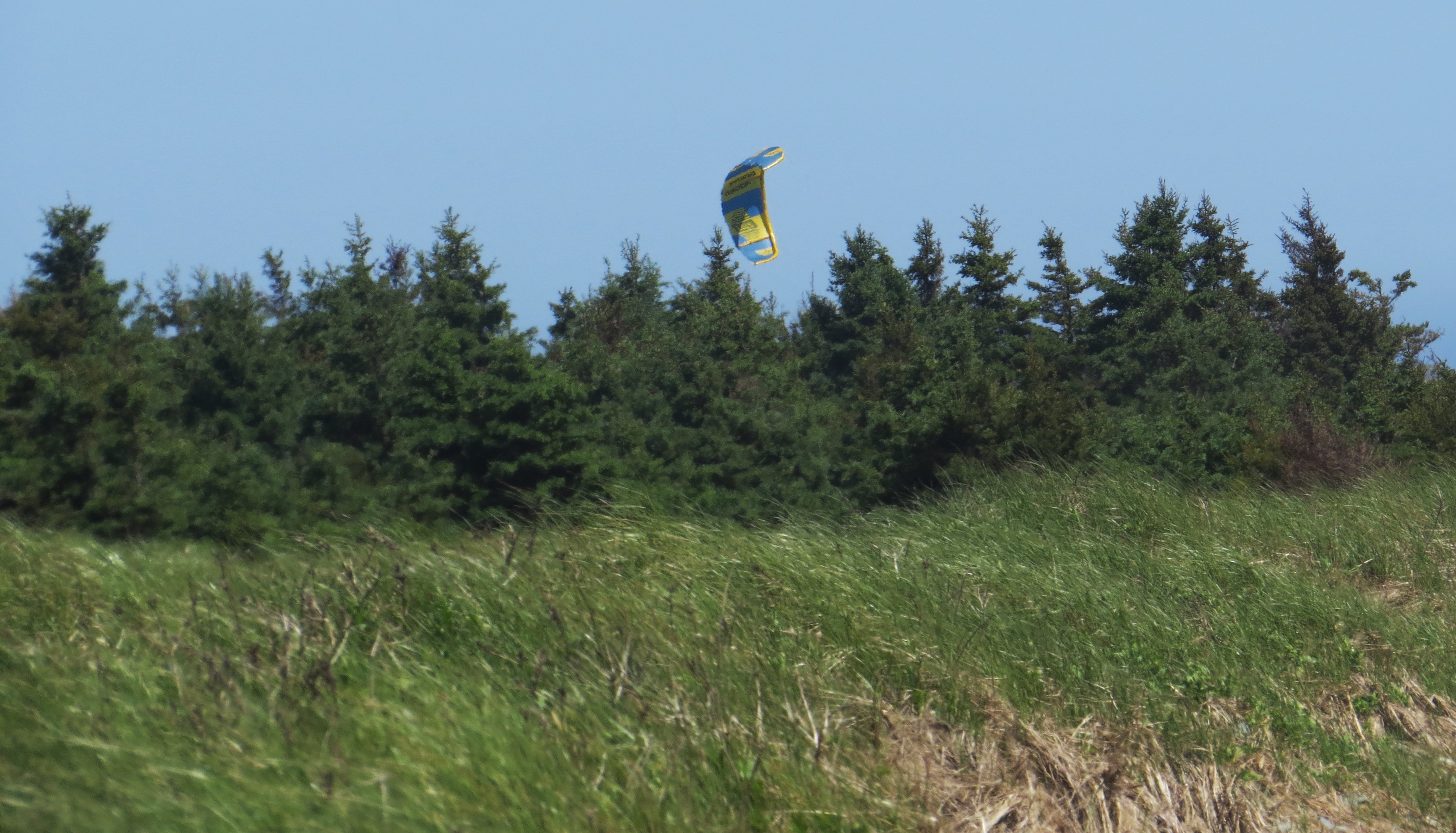
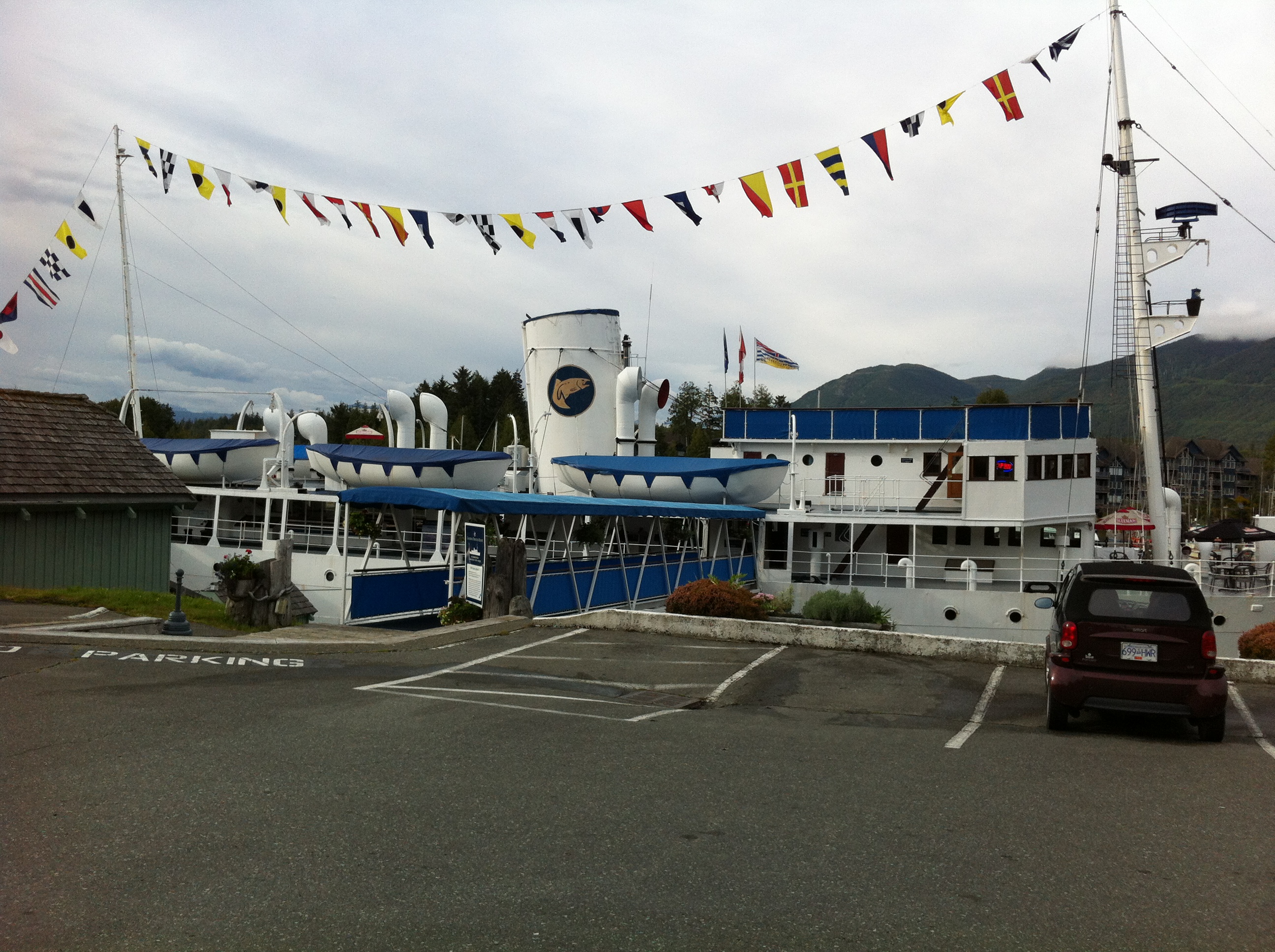
… and few picture of first town – Ucluelet

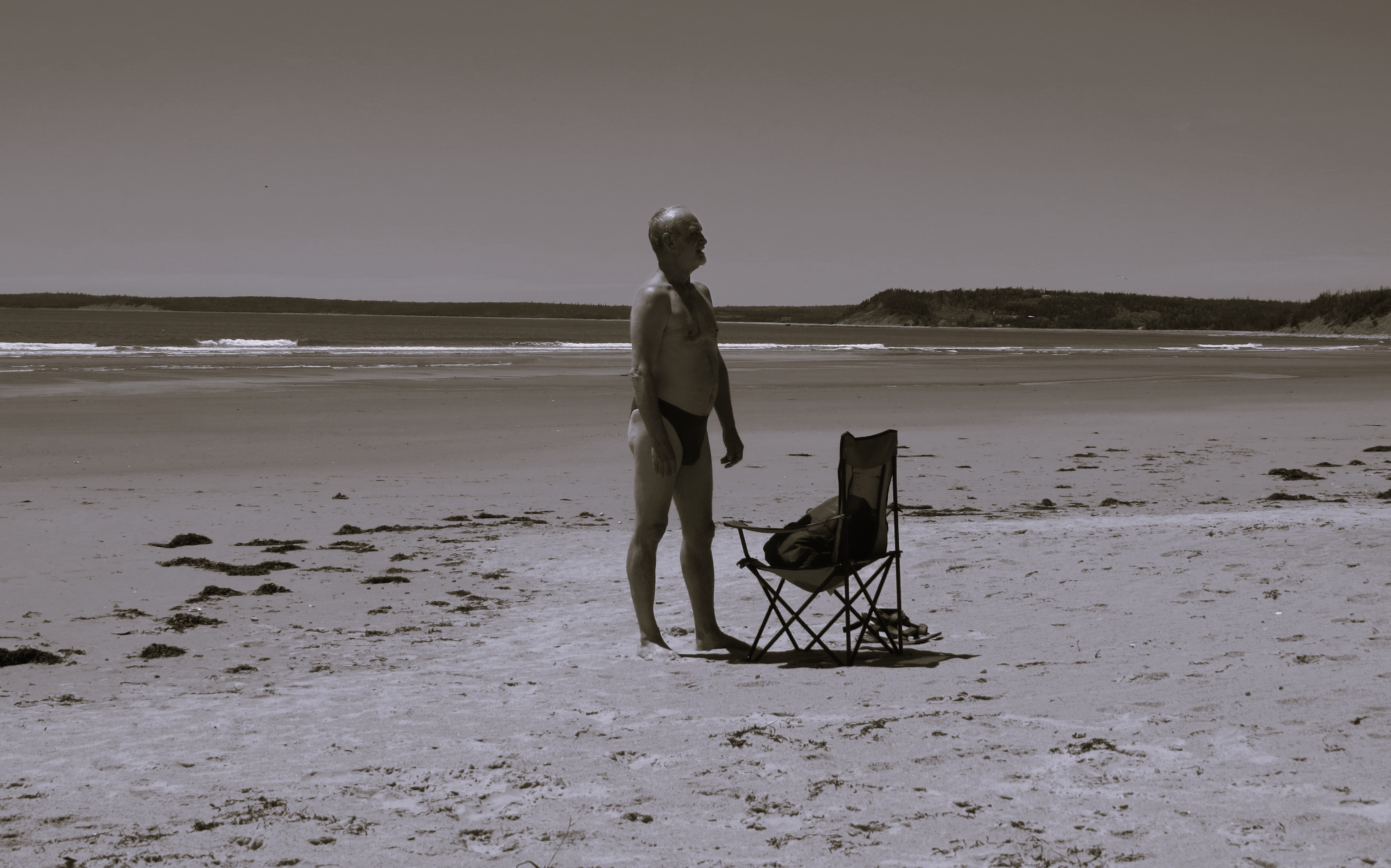
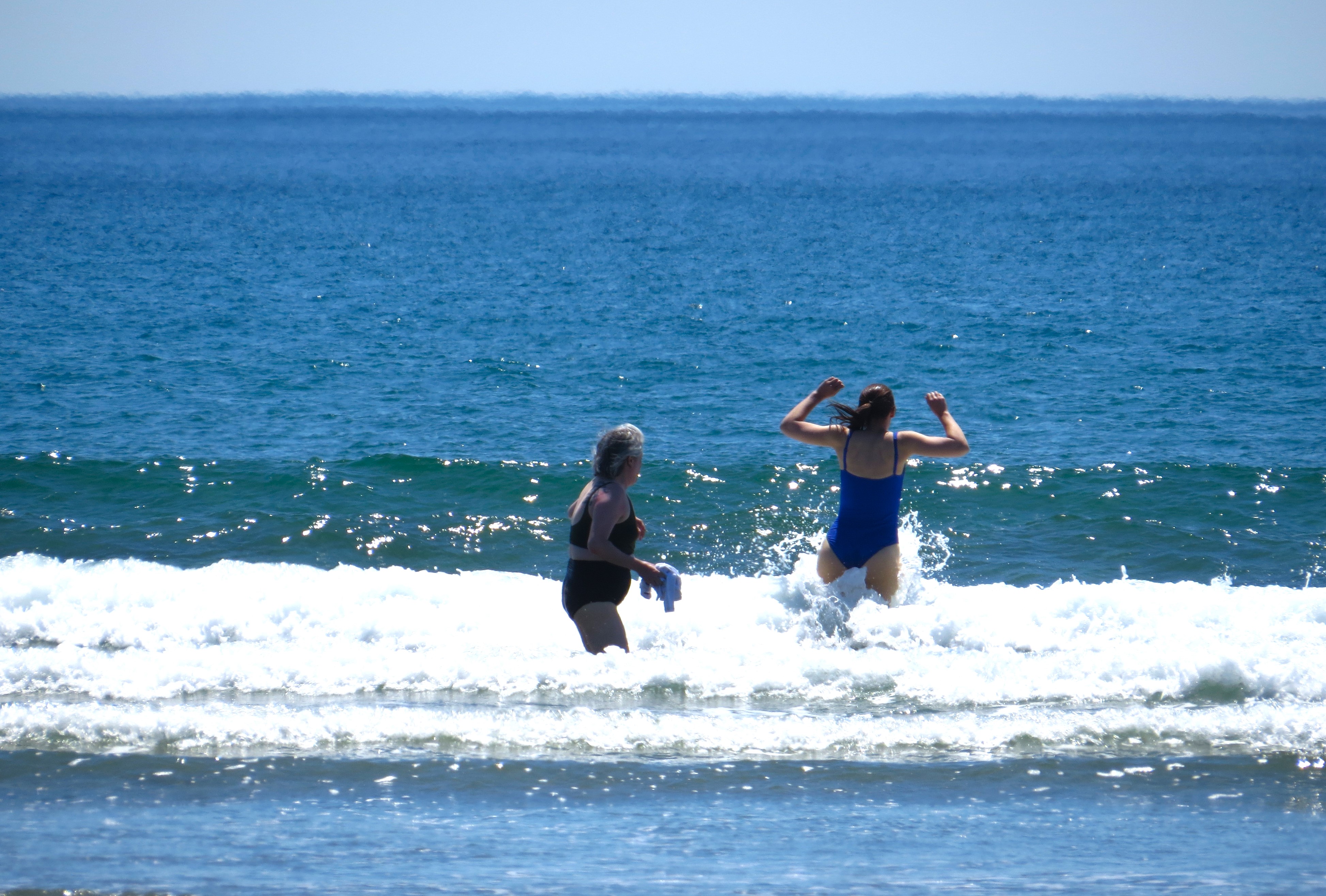
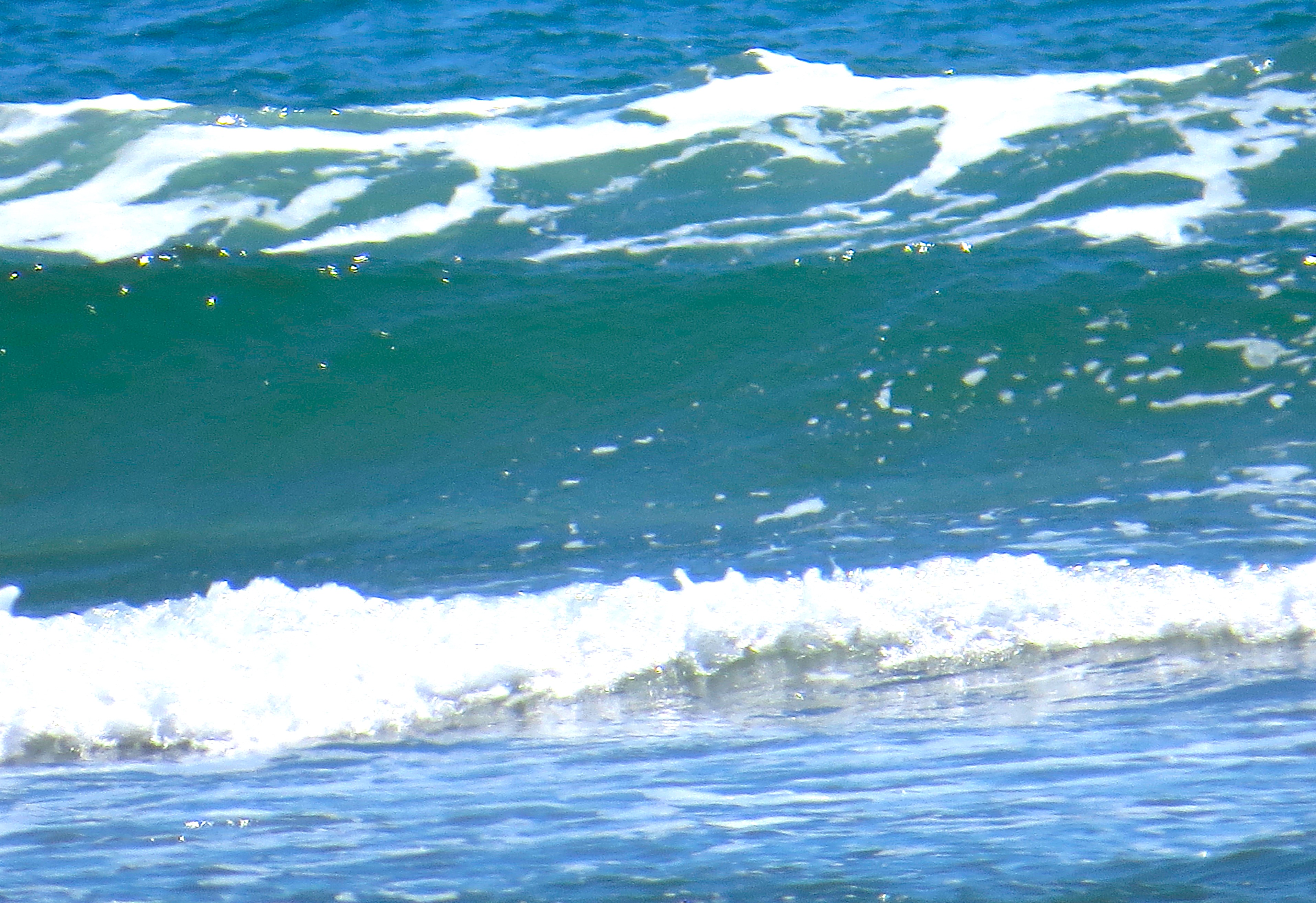
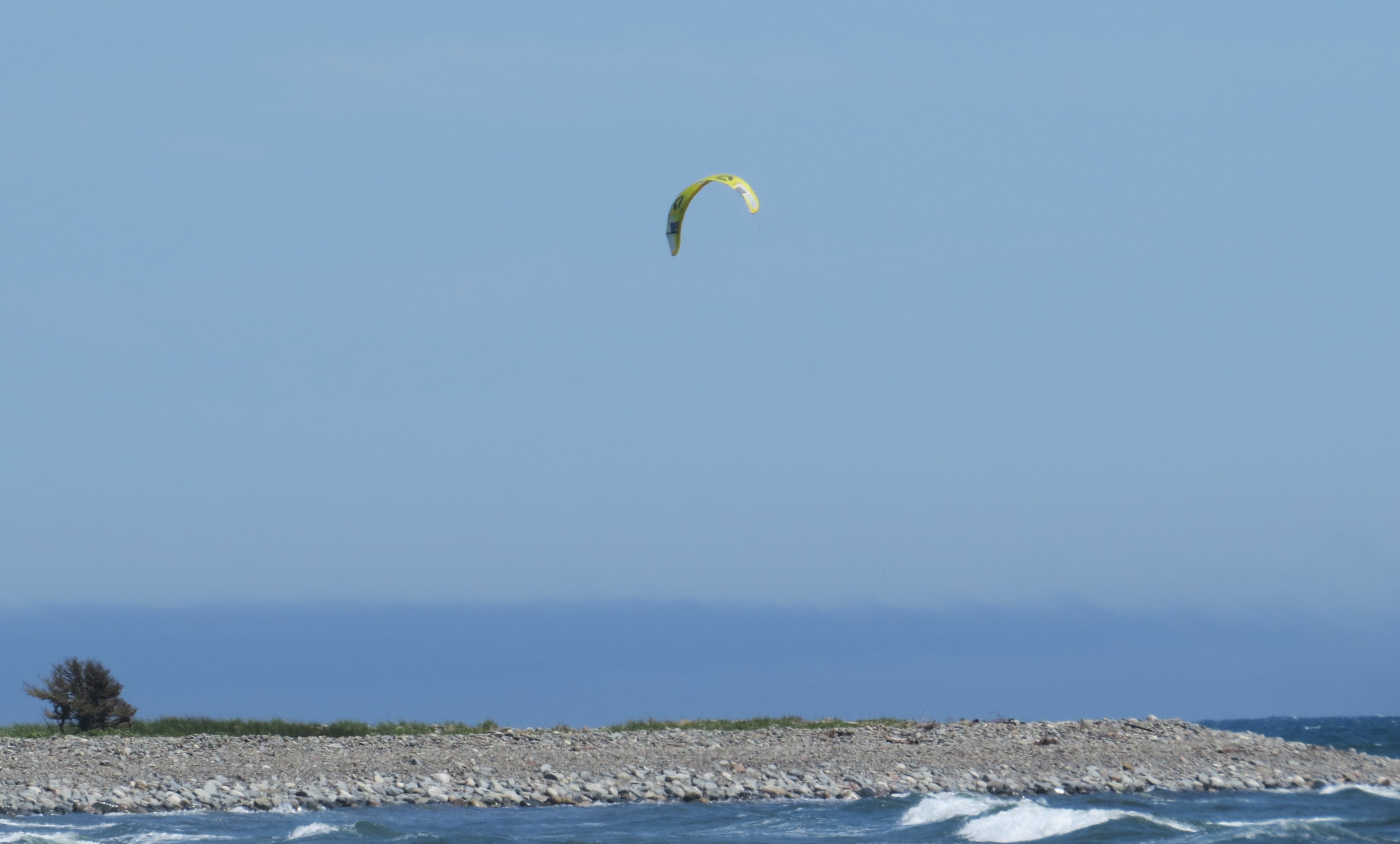
finally – Long Beach
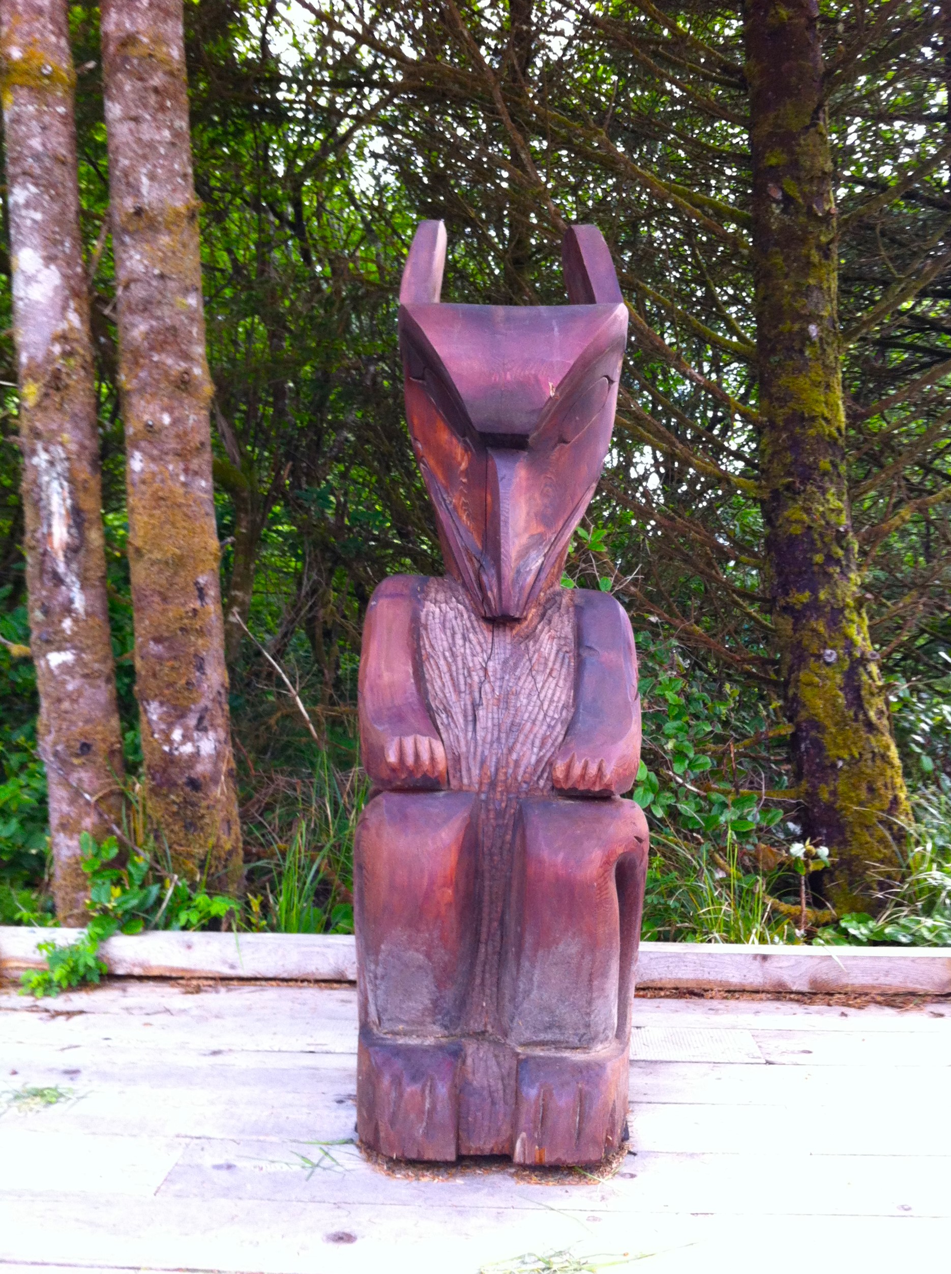
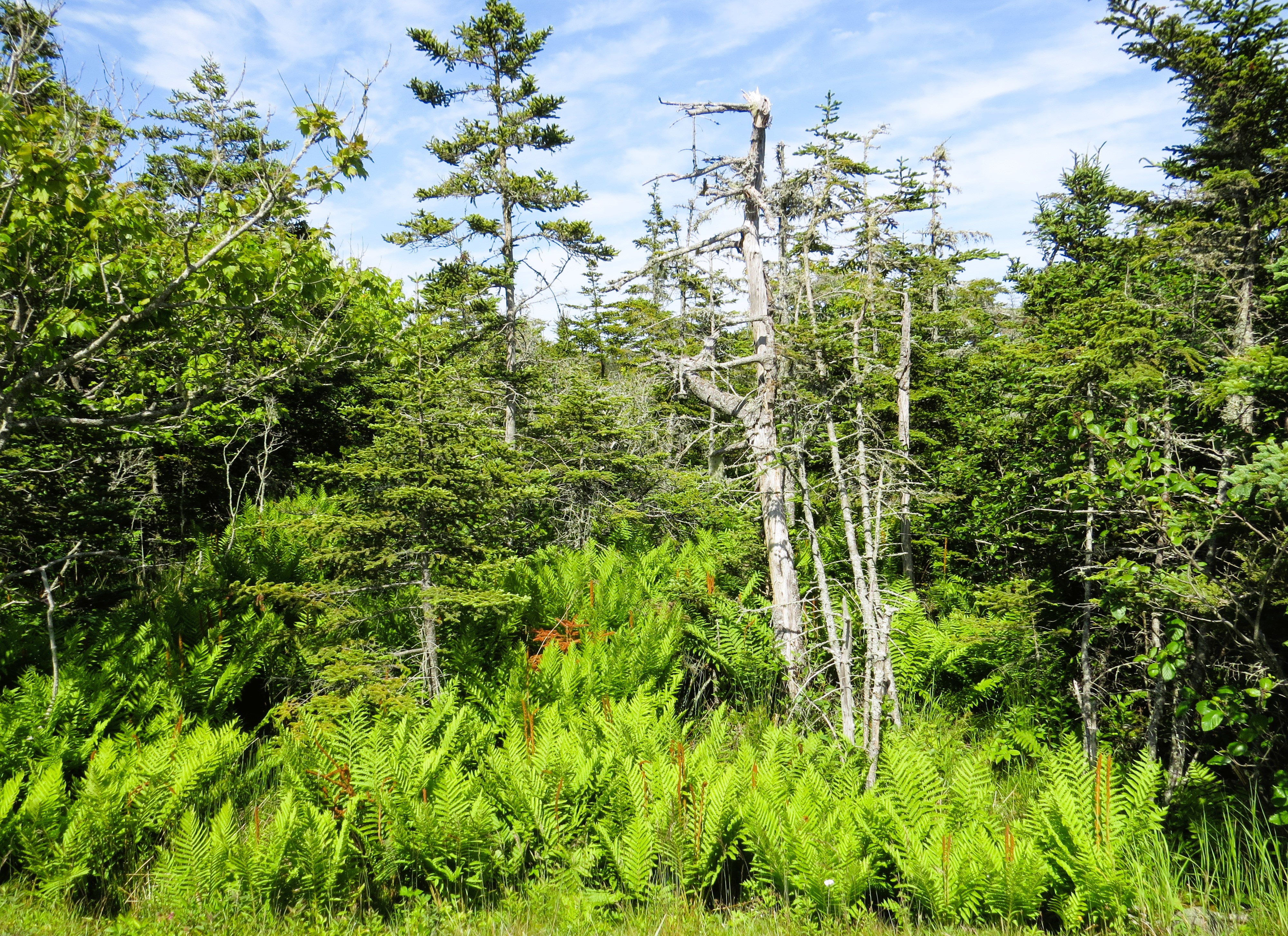
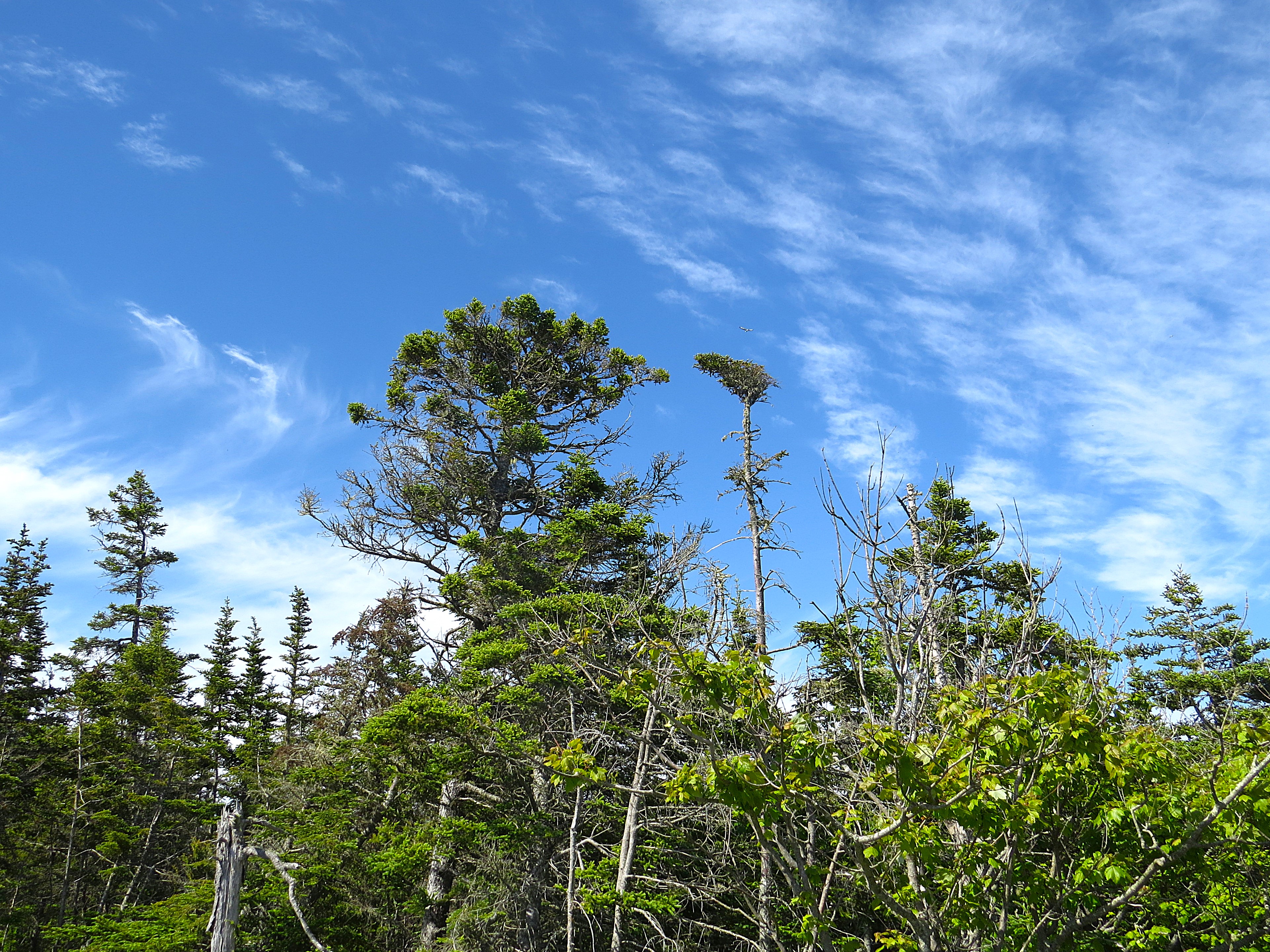
Cathedral Forest

Clam Bay Beach – north of Jedorre – na Wschodnim Wybrzeżu Nowej Szkocji

Clam Bay Beach – north of Jedorre – na Wschodnim Wybrzeżu Nowej Szkocji

Dziś trochę dalej samochodem szosą nr.7, z Halifaksu aż za Martinique Beach – w kierunku rzeki Tangier. Kiedyś już wspominałem, że tych nazw prawie tropikalnych tu sporo. Co latem nie dziwi. Tylko latem, naturalnie.

Ale dziś do plaży, na której nigdy nie byłem – a wydawałoby się, że byłem tu na każdej przez te sześć lat. Ta jednak z bardzo długim i skomplikowanym dojazdem bocznymi drogami. Jeśli już mijałem Musquoboit Harbour – to po prostu prałem dalej, do końca prawie, na ukochaną plażę Taylors Head Beach tuż za Spry Bay.

Więc tym razem zdecydowałem tą jednak poznać. Głównie dlatego, że mimo tych wielokilometrowych wąskich nitek szos w dół, do oceanu – to i tak o ponad połowę bliżej niż Taylors Head.

Jak ją opisać? Po prostu, prawdziwie. To Północna Polinezja. Te dwa słowa wydają mi się oddawać najlepiej charakter tej mało znanej plaży. Te dwa, lub może nawet tylko jedno: bajka.

Już końcowy dojazd wąską, krętą drogą wśród lasów i rozsianych rzadko malowniczych gospodarstw, nadaje tej wycieczce charakter bukoliczny.  

Plaża z cudownym szerokim i wielokilometrowym pasem drobnego, jak mąka piasku przypomina nieco właśnie tą w Taylor Park. Tylko przez fakt, że jest bardzo szeroką zatoką i całkowicie otwartą na ocean – ma duże fale nieustannie podpływające na brzeg. Co mnie naturalnie od razu ucieszyło. Pływanie w falach raduje mnie najbardziej. W przeciwieństwie do większości plaż, zejście z wody płytkiej do głębokie jest bardzo łagodne i bardzo długie. W zasadzie jest to sam w sobie niezły spacer i daje czas ciału na oswojenie się z szokiem temperatury (o ciele to jeszcze trochę potem powiem, LOL). Gdy jednak dojdziesz gdzieś do pół-pasa, to jużeś przepadł, już nie uciekniesz. Jeśli nie pierwsza, to na pewno druga fala cię zimnymi ramionami obejmie całego! Wtedy to już lepiej pływać z tymi falami niż być targany nimi w tę i we wtę.

Pierwszy dzień lata kalendarzowego i słonce sprezentowało temperaturę sierpniową. W Europie na takiej plaży byłoby tysiące ludzi. Tu dziś naliczyłem, ok.  … trzydziestu. Pewnie byłem jedynym nie lokalnym. No i ta temperatura iście sierpniowa była na plaży, na lądzie. Królestwo Posejdona ciągle zimne i mroziło stawy nóg. Ciało ludzkie jest jakieś dziwne, a że mężczyzna też czasem bywa człowiekiem, więc i moje jak rozkapryszona kobieta. Najpierw wrzeszczy, gdy zanurzam się po szyję: szaleju się idioto obżarłeś?! Wracaj mi zaraz na plażę z tej lodówki albo nogi zabiorę i razem na plażę uciekniemy, a ciebie niech te fale gdzieś w głębiny pociągną. I nie wiem czy żarty to, czy groźby prawdziwe, więc na wszelki wypadek wracam i siadam w słońcu na składanym krzesełku. Słońce grzeje. Nieźle. To ciało zaraz odwrotną litanie śle: czy ty myślisz, że ja to jakaś krewetka, którą w oleju na tej plażowej patelni będziesz smażył?! Wracaj mi zaraz do wody lub udarem cię draniu zabiję!  No tak – rozkapryszona kobieta, której nie sposób dogodzić. Więc kończę pisać i wracam do fal.

The Chain Lakes bike trail in Halifax, NS

The southern end of Halifax offers very different bike trails – city trail that meanders as an elegant path for city dwellers. It is not necessarily my type of cake but yesterday was the day of my sweet tooth call. I have answered and voila: The Chain of Lakes Trail.

It passes so many industrial and commerce sites, crosses so many highway so many highways, that you would think that is a typical big city bike trail that has nothing to do with actual nature. That it is a manicured trail that gives a city folk the theatrical gimmicks of feeling that he is in wild nature. Which – of course – is not true, it is just orchestrated effort to mee that desire.

To my happy surprise, it truly is not the case with this particular trail. Yes, it is without any doubt a city trail. You will find there many walkers, bikers and families that you would not normally find in a forest, on the shores of wild lakes or a totally wild ocean. But it is also a trail that very quickly you forget about it. That you just immerse yourself in the astonishing beauty of passing little streams, meadows and an array of wildlife. Did I mention the lakes that give it its name?  Yes – the amazing Chain Lakes (there is two of them, hence the name ‘chain’).

I started it from a little small park off the St. Margaret Bay Road via Crown Drive. It takes you pass the First and Second Chain Lakes, after double crossing of two streets with special lights and stop signs for bikers and walkers, it follows you through more industrial neighborhood, yet again – if you don’t rise your head too high, you might not even notice as you are biking alongside the lakes Bayers and Lovett.

I meant to bike it many years ago, when we came with John to Nova Scotia. Never did. The time has come to fulfill that promise. I did and I’m glad.

Somehow, it felt that he is biking right beside me. That he kept glancing at me and smiling. But that is entirely different story to write.

This particular image (part of the industrial site close to the Lovett Lake) for some reason took me right away back to the 1980′ in Southern Alberta: there was a time when I was travelling often to the University of Lethbridge. Just before you see the city of Lethbridge – you see the old train trestle bridges that used to connect Alberta and the States on one end, and the Okanagan Valley on the other end. This structure is just a metal box that will eventually become some sort of warehouse. But that was the very first impression I had, when I noticed it. Funny how visual memory works independently in you brain. Of course that is not a valid argument that one has a brain. But a hope, nonetheless.

Camera walk from Conrad’s Beach to Stoney Beach in Lawrencetown

Camera walk from Conrad’s Beach to Stoney Beach in Lawrencetown

My favored beach outside of city reach, but very close. Parking could be a problem in summertime. Practically speaking you have to park on the curbside of the road and it could be a long way to walk, but the is no through traffic as the road ends there. The way to the beach is via very long wooden walkway, an it is very picturesque, I have always enjoyed it. Beach is very pleasant with a lot of good sand. For restless souls – a perfect place for nature walks. The sand dunes separate the beach from very interesting narrow walkways through grass and low growth patches of forest alongside the protected lakes-like marches.

I have been there so many times, can’t even remember how many. Swimming is fabulous but not for everyone at this time of the year, as the water is still very cold. But from middle of July to early November – it is a small paradise for swimmers. However – you can try even now. Cold, but manageable. I did.

Enjoyed the walks in that little forest and the sand dunes (there is a few narrow trails and please do use the trails – the ecosystem here is delicate and easily disturbed). The flora and fauna is beautiful. Small and larger birds, occasional deer, flowers, butterflies.

Today I did first time the entire trail, all the way past Conrad’s Beach and Tanner’s Sandy Point to the Stony Beach of Lawrencetown. The Stony Beach is a favored spot for Kitesurfing. Often, when you are on Conrad’s Beach you will see on the horizon to the east colourful kites gliding through the sky – these are the surfers from the Stoney Beach.

The sea has it’s own rules, not everything is manicured and ‘the grass’ is not always cut… . On my way back, by the Tanner’s Sandy Point I have found a relatively fresh dead body of a seal. That point is always very windy and waves are always high and dangerous. She must have been too tired to overcome the waves because otherwise there was no visible signs of any wounds of bites to her body. But to keep things in balance of sad and happy, maybe half an hour earlier, close by, I almost touch a very much alive and startled young deer. I was just walking through a narrow path in the dense forested part and startled suddenly the beautiful creature. She froze for a split second and quickly jumped back to the wood before I had a chance to raise my camera.

Canada’s Ocean Playground … and some

Canada’s Ocean Playground … and some

Since Canada does actually have coastlines of three oceans: Pacific, Arctic and Atlantic it could be easily said that the entire country in an ocean’s playground. But there is actually a lovely beach in Nova Scotia that claims that name. I did not research why this particular one claims that title. Yes it is large, it is right off the highway (but without any large enough parking spaces) and it is nice … but it not the best by any means and it is off not very travelled highway. But it does claim that name.

I definitely suggest visiting it in the summertime. The ocean’s water is splendid, and those who also like a little hike – there is an amazing trek right of the side of enormous red rocky wal stretching a good few miles to the east. Very picturesque and with huge view of other bays close by and far away at the same time (including one of two best beaches on this coast: the Martinique Beach and Taylor Head Provincial Park beach). On the map and from the shore all of these bays and beaches seems to be next to each other, walking distance. But only if you can walk on water. Getting to most of them by car requires driving long distances. And precisely because of the abundance of these huge bays, many lakes in-between – the highway is a long journey.

Telling the truth I didn’t even planned to go there today. Been there first and last time during winter six years ago. Because it was winter, I didn’t pay much attention to the beach and didn’t swim in it’s water’s. It was just a way of visiting the old Acadian (French) settlements of Nova Scotia. The very first wintery drive back in December 2018 I took together with my late husband and this year’s journey had therefore a special sentimental, emotional aspect.

My original plan today was different. I wanted to visit a small outpost called Fisherman Beach which offered a beach and an outpost for small harbors for fisherman’s boats and houses at the end of Causeway Road. To get there you continue past Lawrencetwon on #207, which becomes Marine Drive. The fishermen’s tiny outpost is an absolute a gem. Unfortunately not so the beach just before it. Yes, the shore is lovely, very sandy, the bay is very secluded and sheltered from waves … but shallow as a tiny pond in the middle of a meadow. Maybe good for toddlers – I couldn’t swim in something like that.

I checked the map and noticed that ‘Ocean’s Playground’ is not far away. Drove back to Marine Drive and continued for few miles. Soon, right next to the highway, a gorgeous wide open bay appeared with lovely long beach ending with very high embankment of red soil and rocks. There isn’t really much of parking anywhere there, just for few cars. But you could easily park on the side off the highway. I didn’t have a problem, the fact that it was weekday and the water is still very cold – there was nobody on the beach. Sadly, because the weather was fantastic. There were nice waves, but not a huge ones. Water was cold, but not freezing. Swimming was very refreshing, although in short distances and intervals. Certainly in a month or two the water will be fantastic. After the swimming, I took my camera and went for a long trek alongside that red wall od rocks and soil. The views are fantastic. You have to pay attention to your feet – the roks are large, hardly any trail between them. Despite these warnings – I strongly suggest to do it anyway, it offers one of the best views of many far away huge bays and beaches beaches – all of them I recognized and visited many times before.

After returning form that very interesting trail, I drove up the #207 through the picturesque and old Acadian settlements of West Chezzetcook. Strongly suggest to do it. A lot of history and a lot of different cultural and historical colours – including the ever present tri-colors of French Acadians.

From West Chezzetcook I took left turn to highway #7 and continued on a very picturesque drive through communities of Porter Lake and Lake Echo settled like a dream on many bays and coves of enormous Porter Lake. Through them I drove back to Dartmouth via Main Street.

West Lawrencetown Forest

Yesterday I biked the trail leading from Rainbow Haven’s Beach to Cow Bay near Dartmouth. The area opposite that trail ends with enormous salt marches-lake. All across that long lake there is a well constructed trail connecting it with the beginning (or end) of another section of this part of Canadian Trail. Last fall I have taken that trail (that part of the Canada Trail is named aptly “Atlantic View Trail”) from West Lawrence Road all the way to Lawrencetown Beach Provincial Park which is about 30 kilometers forth and back. Today I started at the same point, but went the other direction – toward the Rainbow Haven huge lake. It is shorter, about 12-13 kilometers back and forth. At times it was very windy but the trail did not disappointed. In my life time I was lucky enough to hike/bike both extreme ends of the Canada Trail: on Vancouver Island in BC (it is just insanely beautiful there) and on the Atlantic coast in Nova Scotia.

June Lady Slipper is very familiar (but does not grow in abundance and is a very delicate and solitary creature) flower in this part of Nova Scotia in the spring. The formal name has a more distinct and elegant tone: cirypedium acaule. It likes very much the acidy soil. I guess, as any elegant lady it likes a glass of acidy wine now and then, LOL. I adore them – both species, LOL.