Hidden gems of West Vancouver shoreline

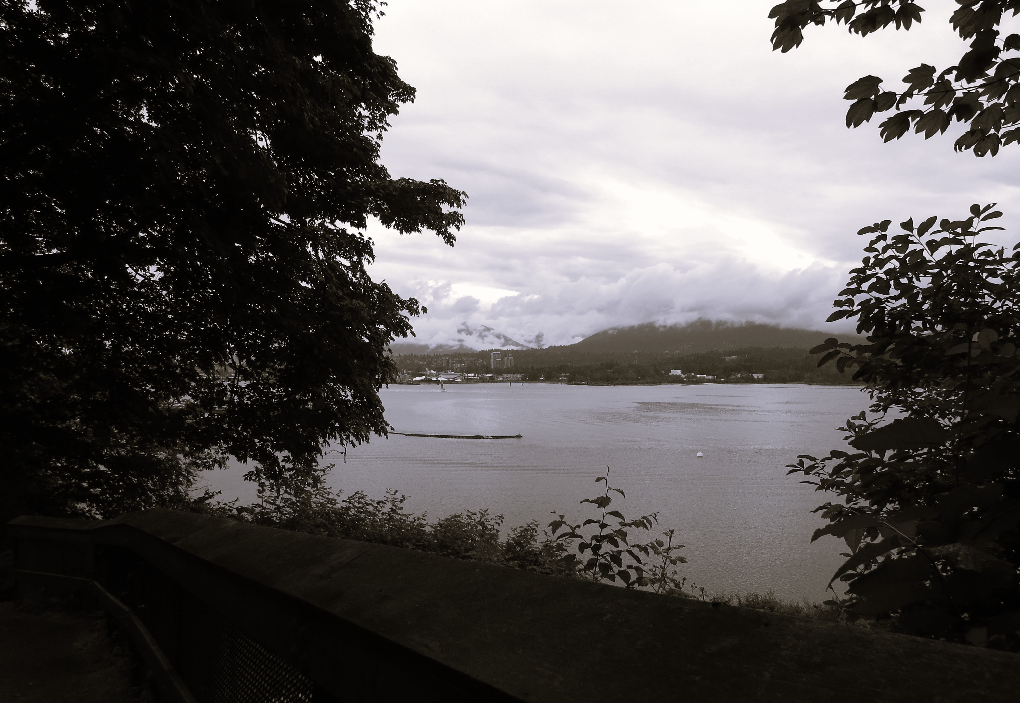
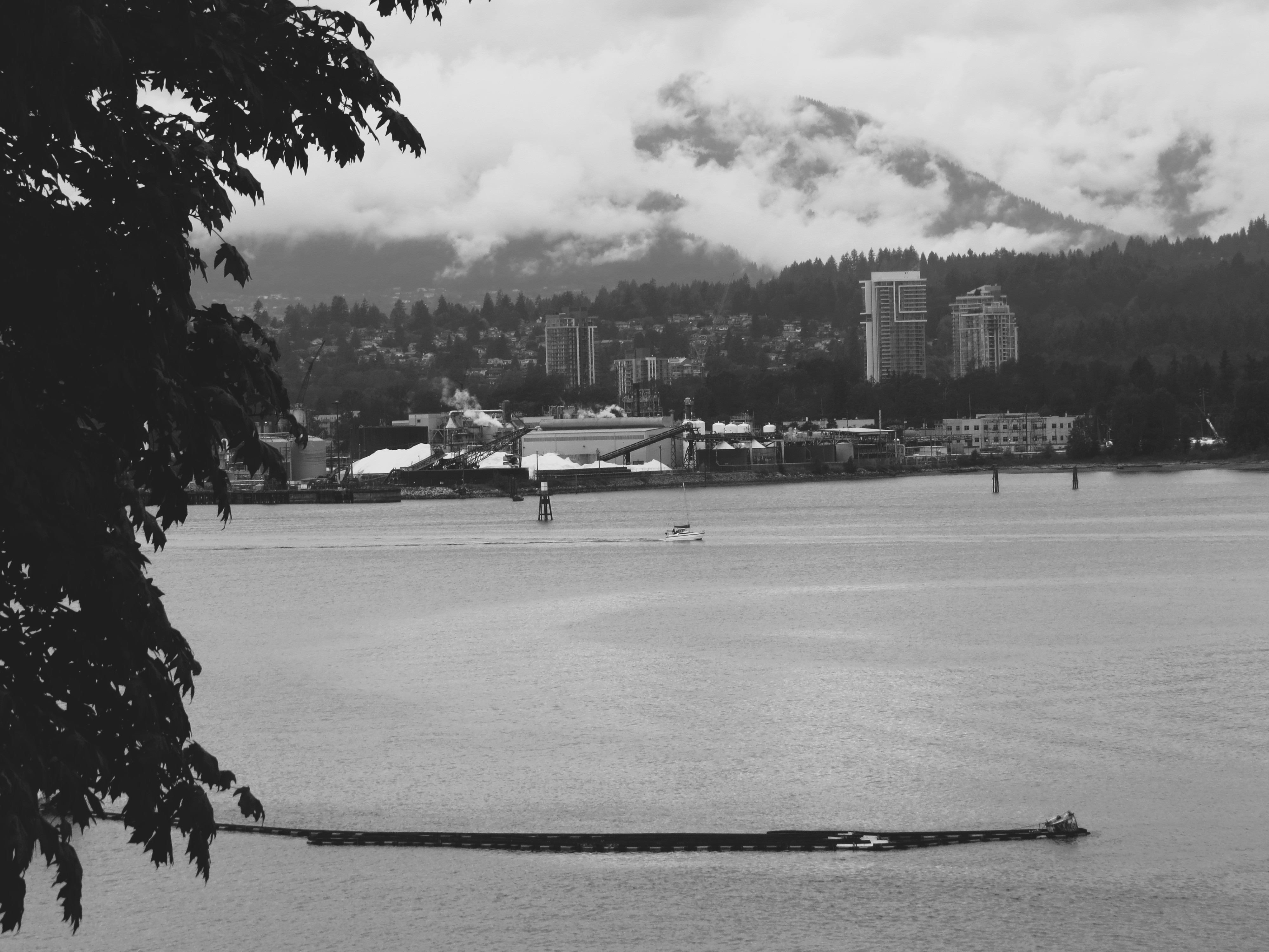
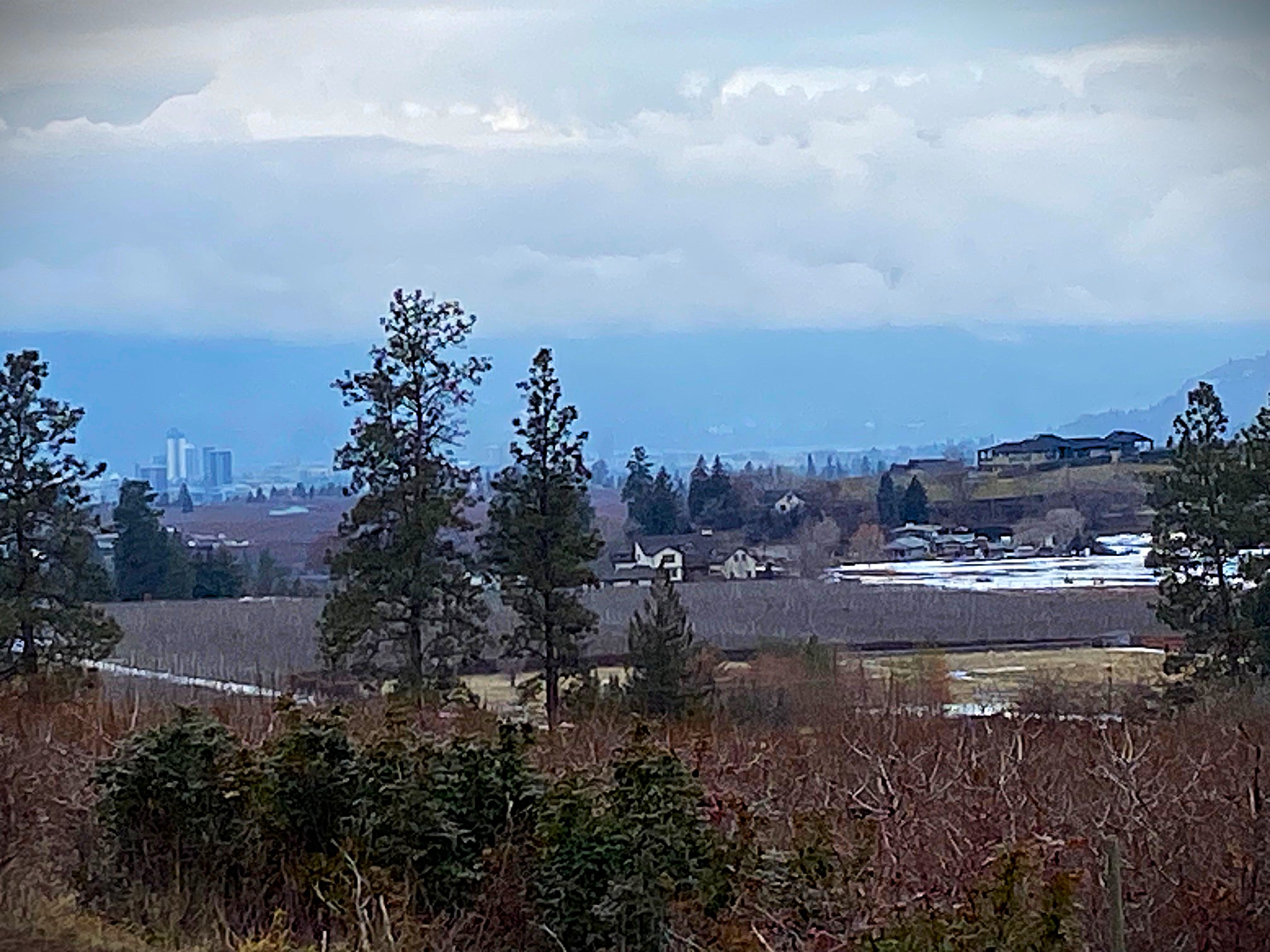
Continuing my explorations and re-visiting old familiar places, I went the other day to the picturesque Old Marine Drive.  Used to like to take it for the vistas it offered while passing many coves. Was shocked (or sad?) how much the cove with the marina has changed. There was not even half the amount of yachts and boats in the older days. It was actually tranquil. Not so much anymore – au contraire.

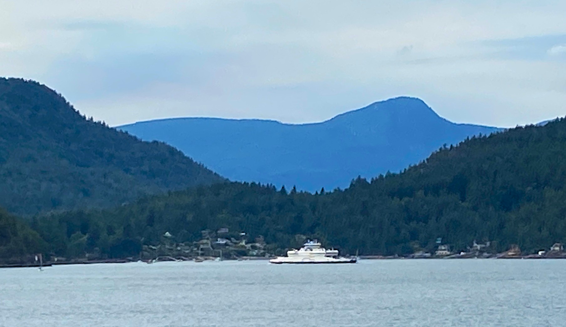
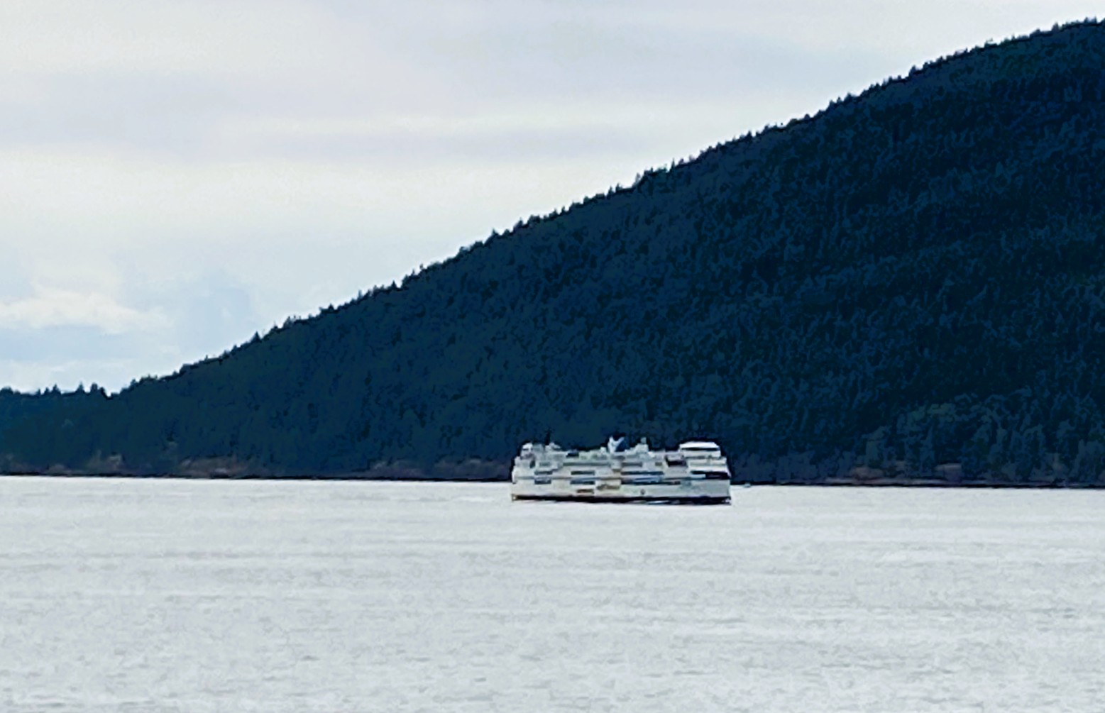
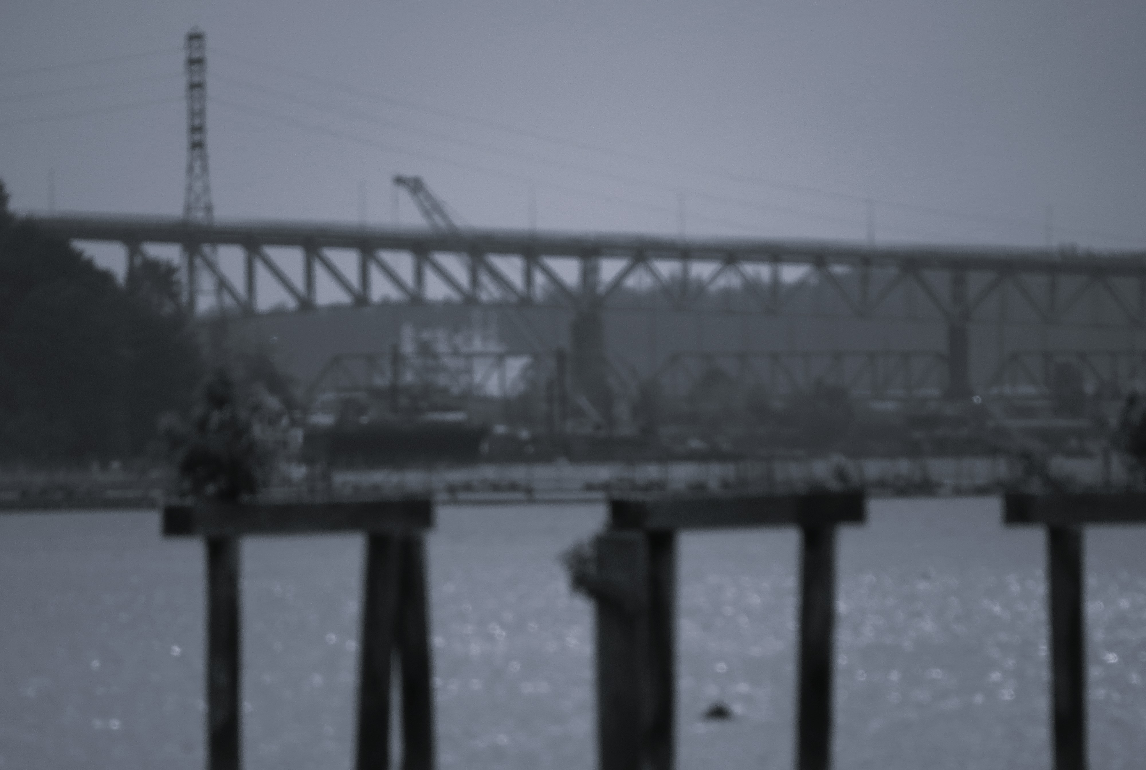
But I never really stopped in previous years to explore the shoreline more acutely. I think once I was intrigued if you could observe the ferry passing on its way from Horseshoe Bay to Nanaimo. I hardly ever took that route, it was just easier (and less busy at that time) to take one from my home terminal in Tsawwassen.  However, I did take often the small ferry to Bowen Island – my Mom just loved it over there. We would put lot of snacks and some food to the cooler, and would take a little propane stove and she would be happy on that little last beach facing the Howe Sound. There were so many black and salmon berries there – incredible. I would swim and fish there too, and mom cooked the fresh fish. She really loved it there.

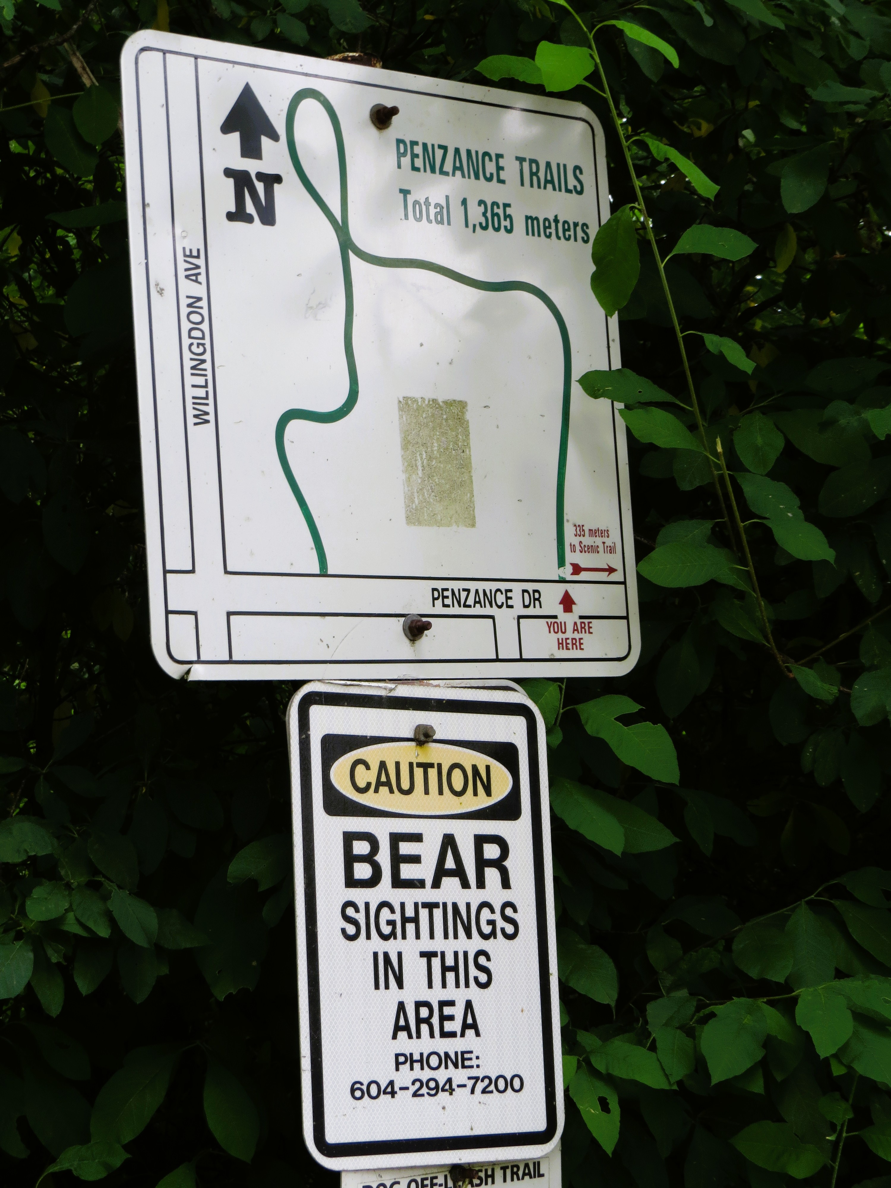
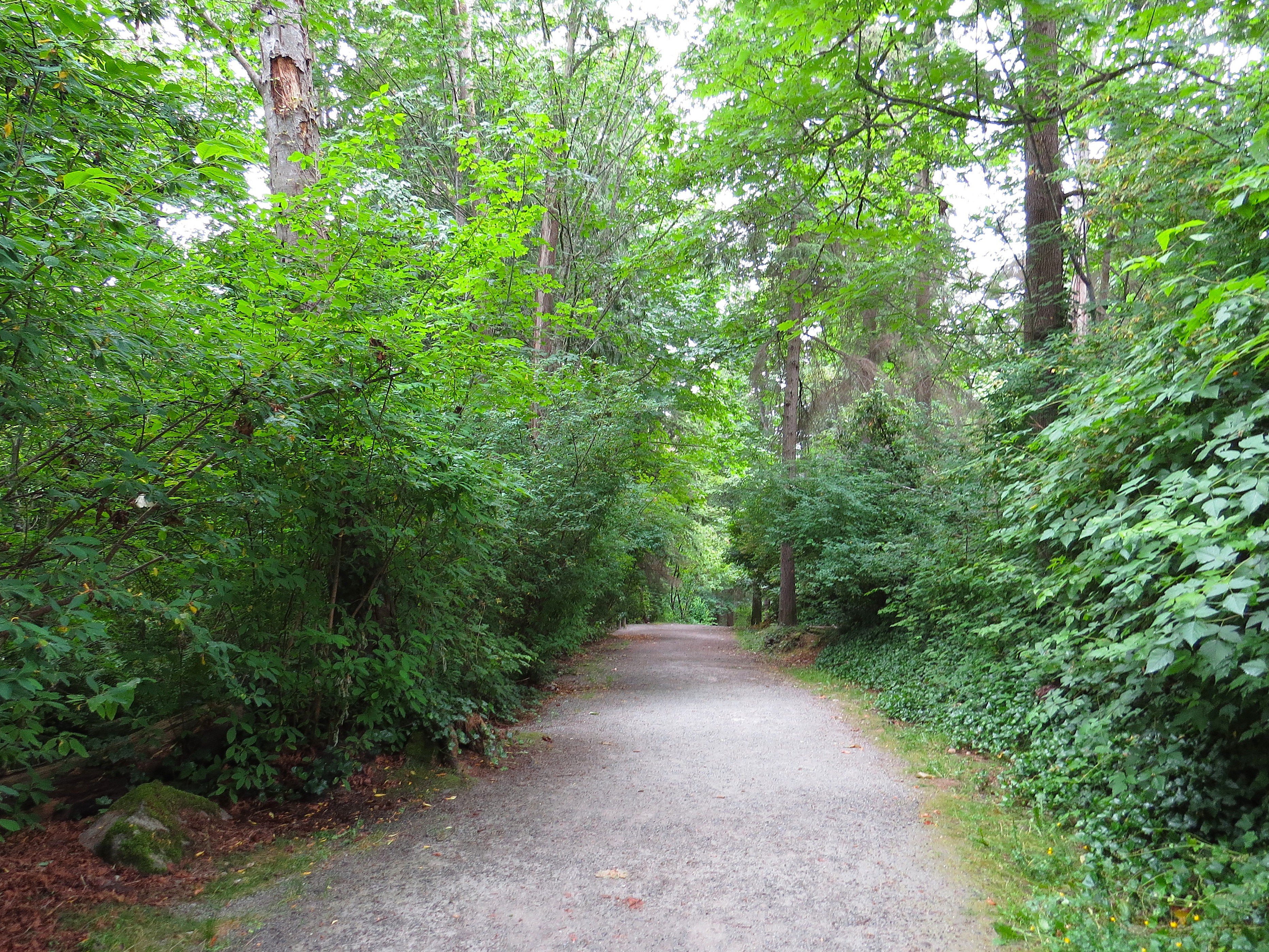
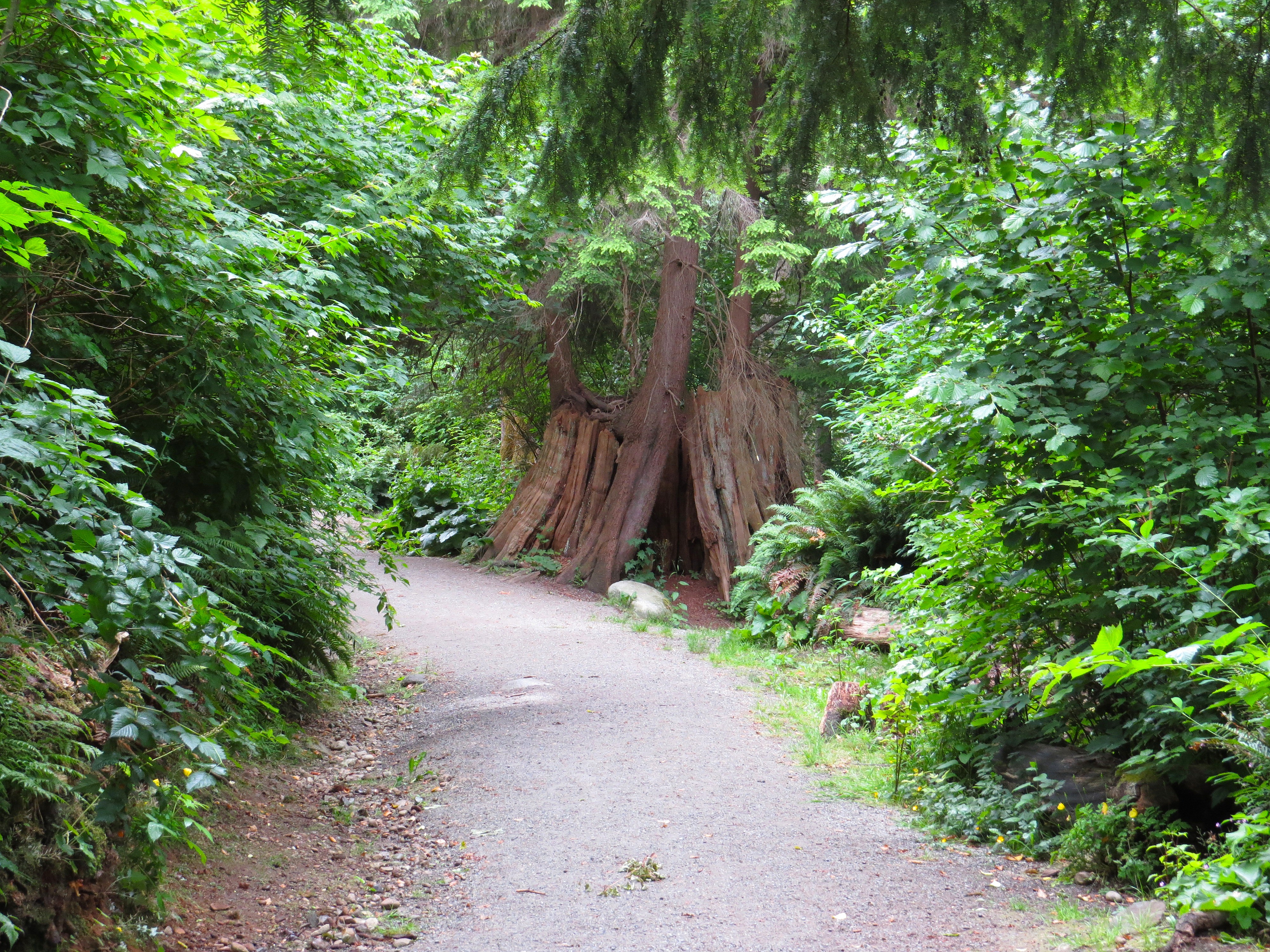
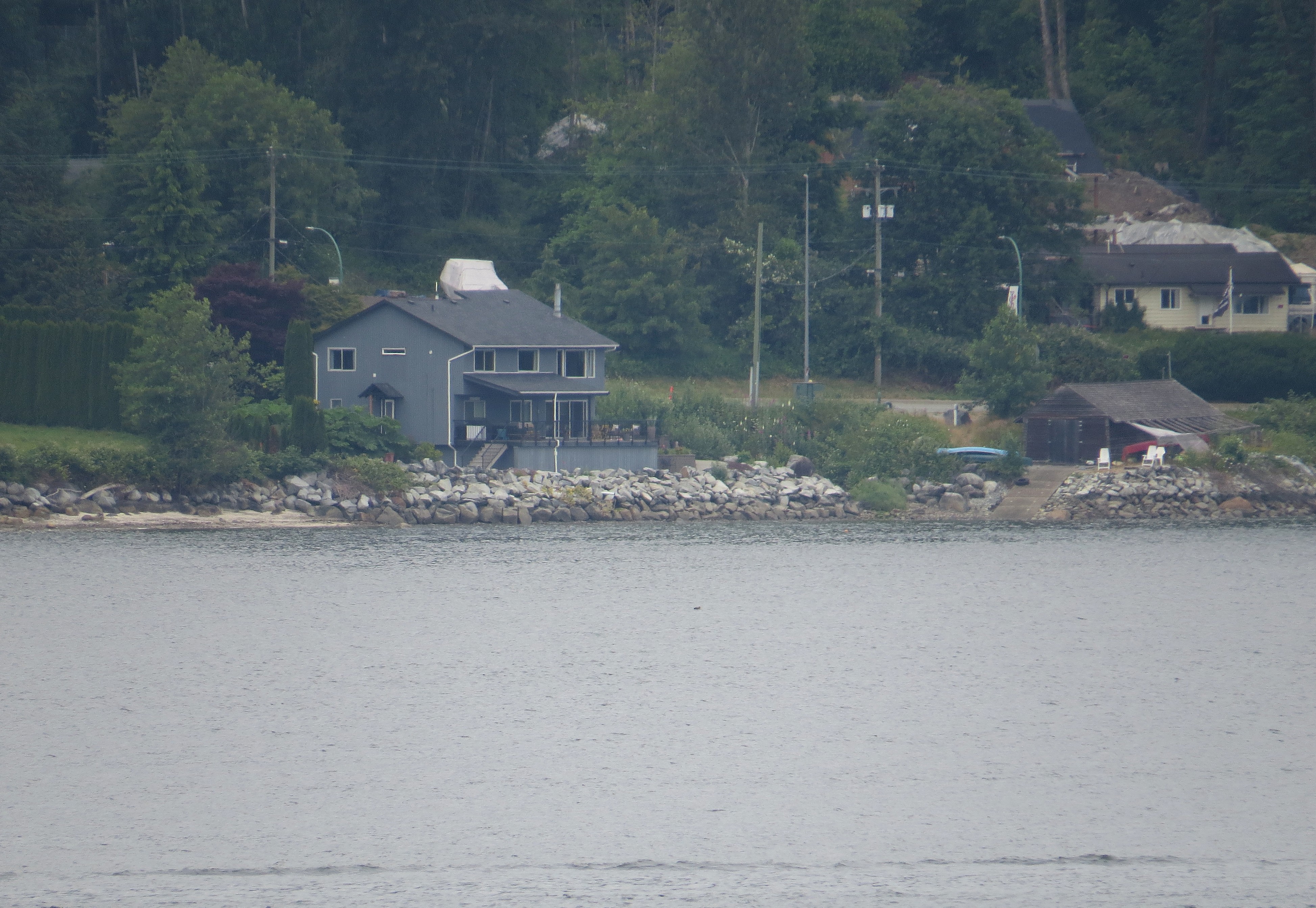
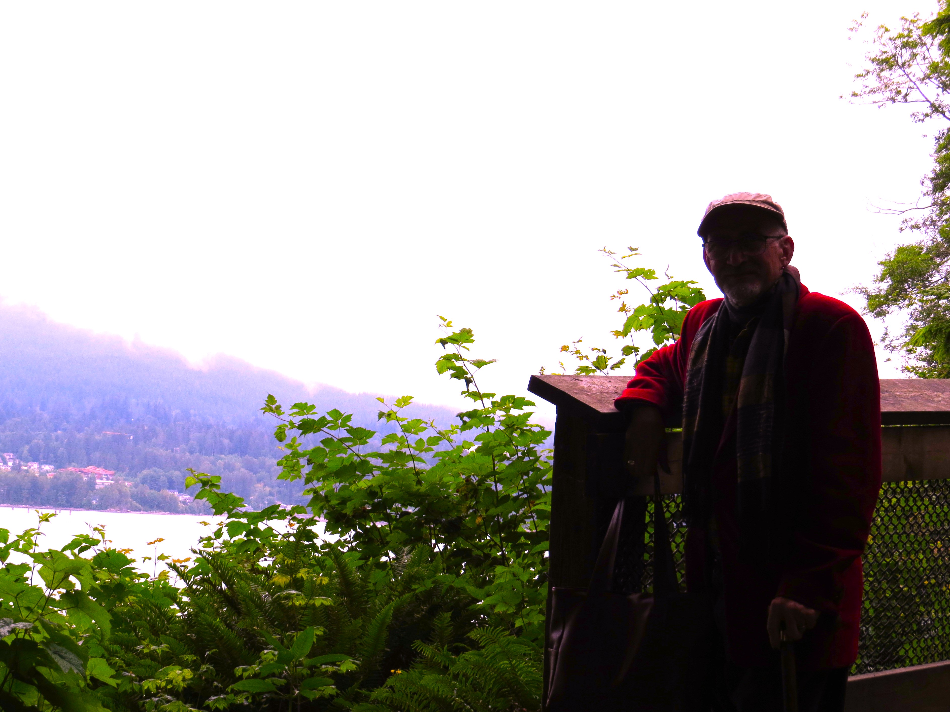
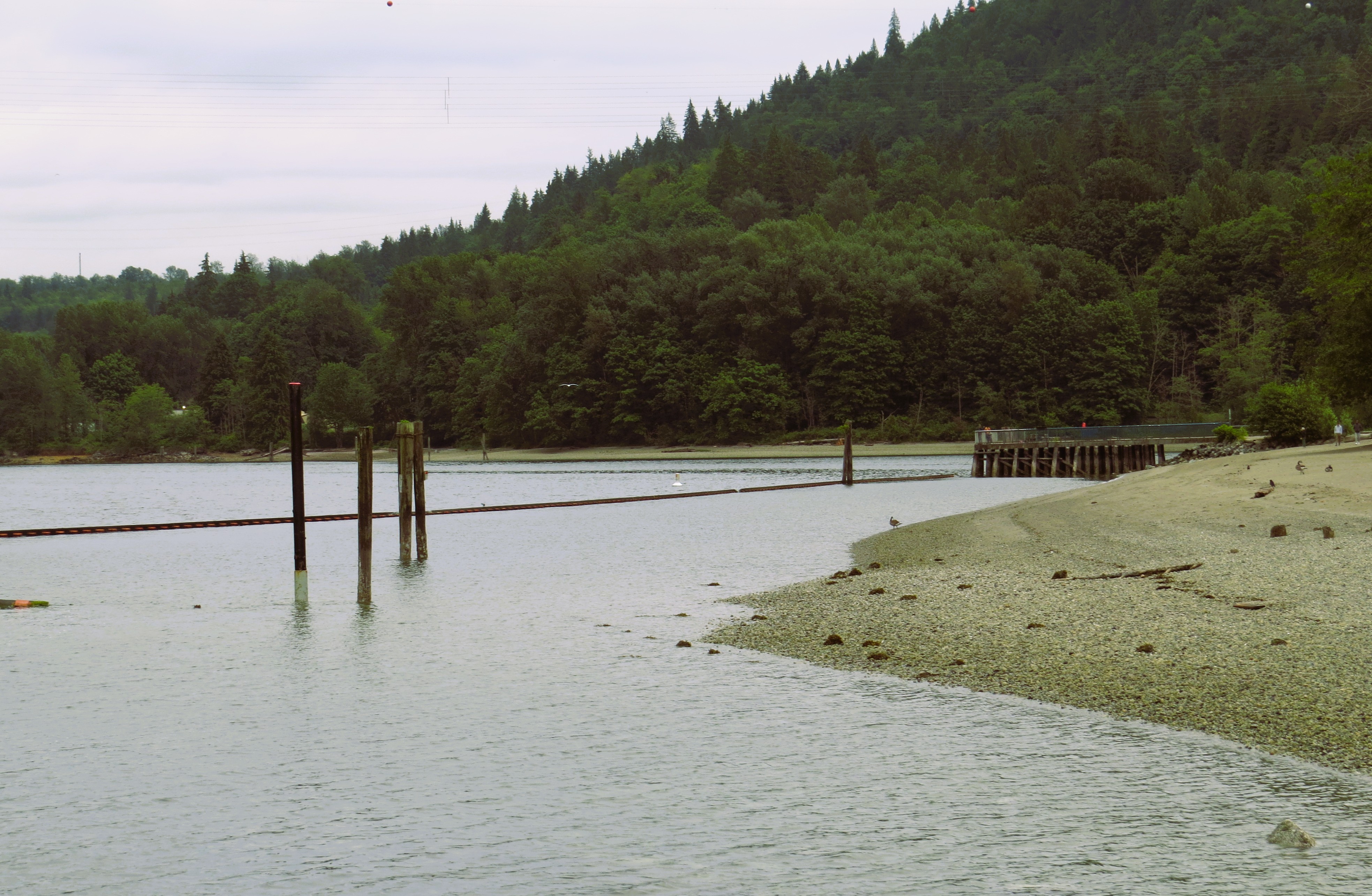
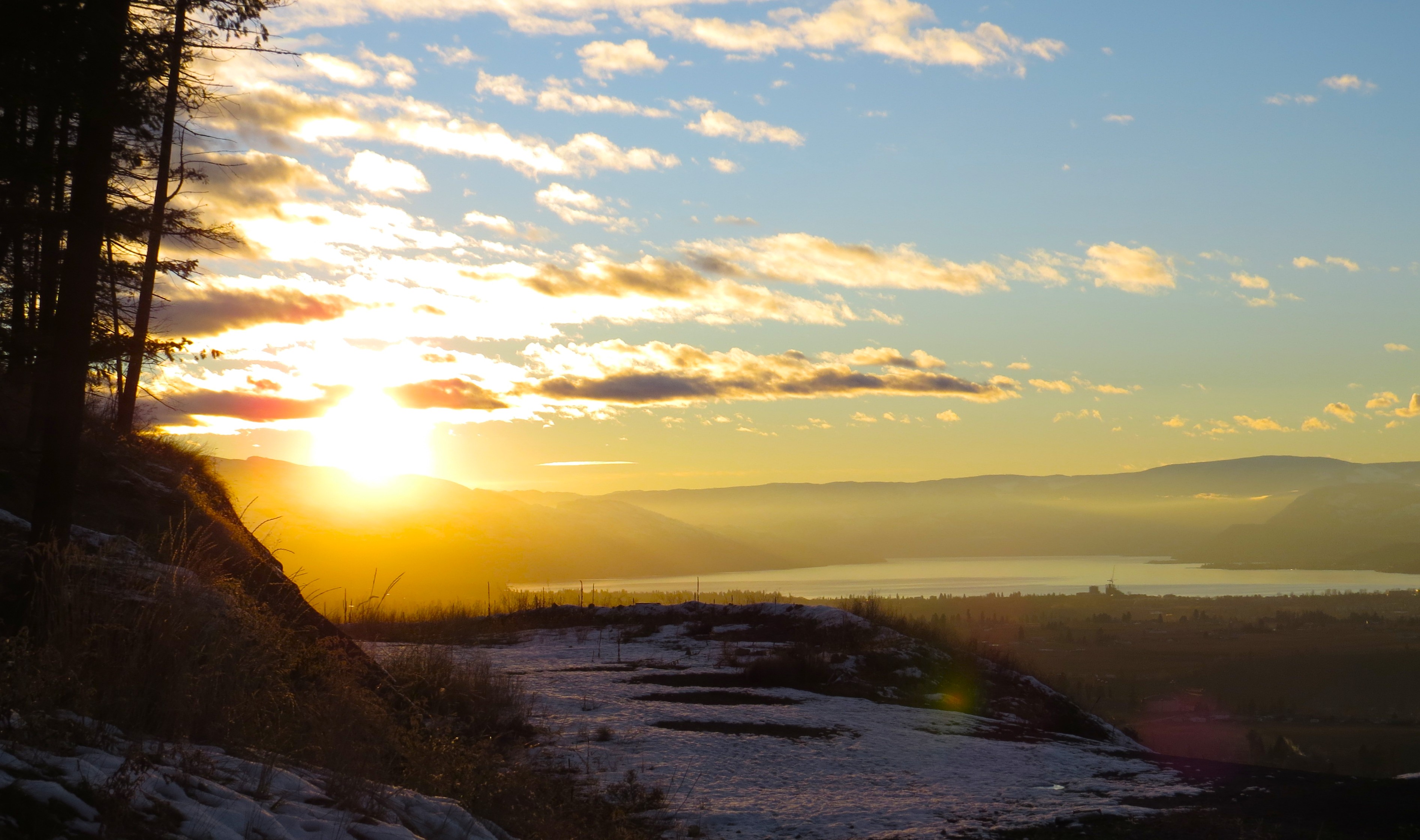
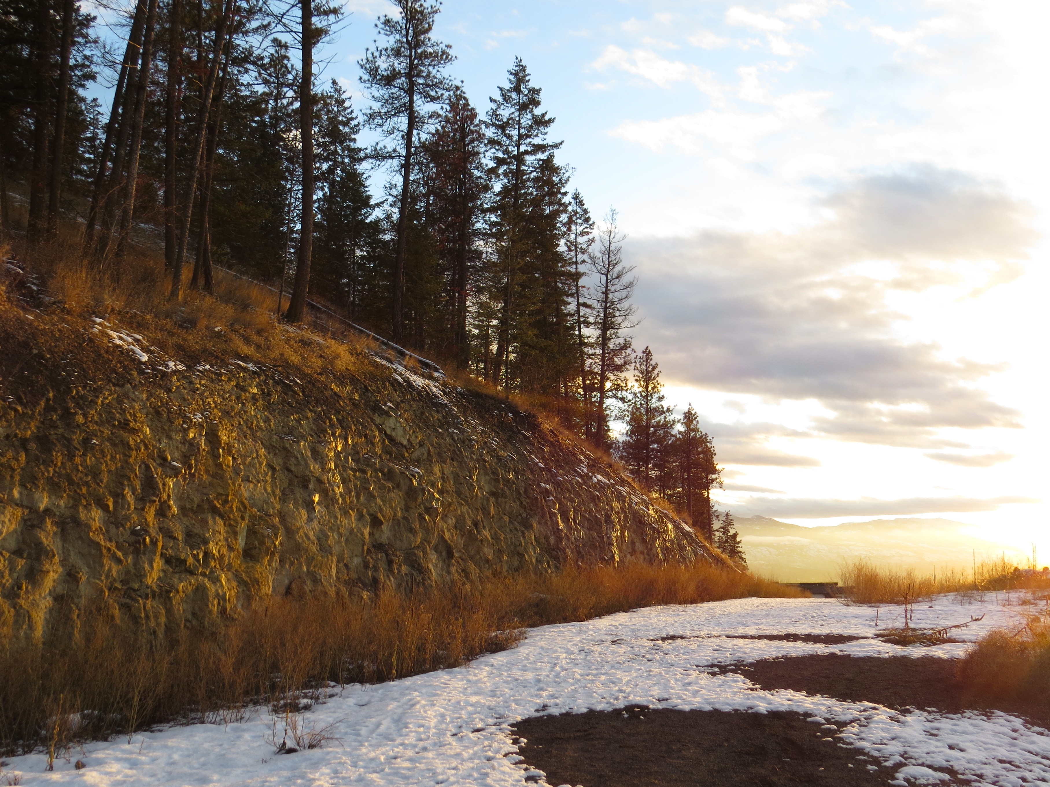
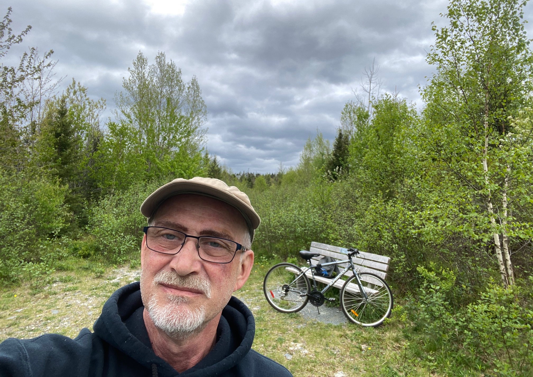
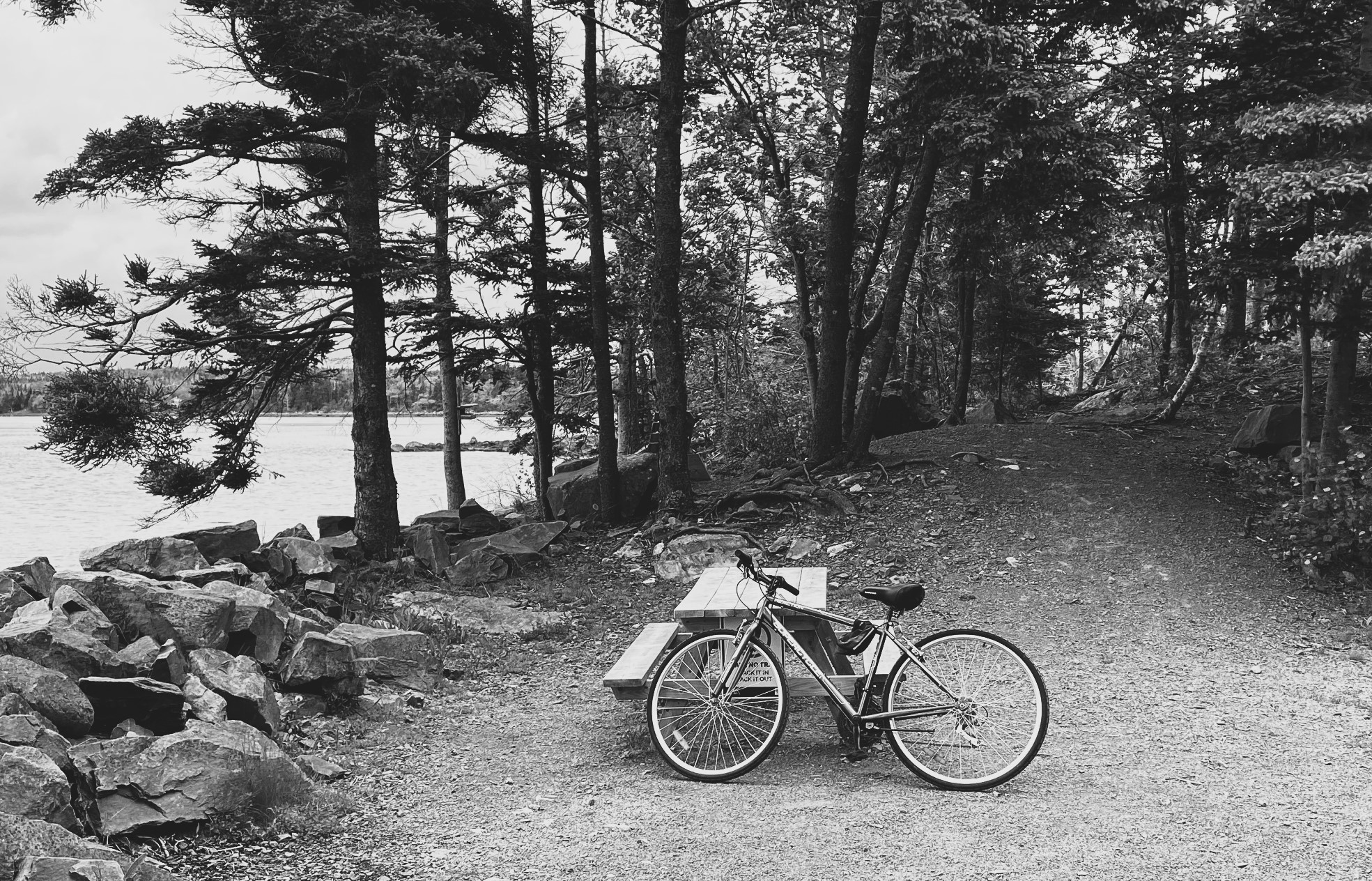
I was going to take that little ferry again now, but the timing was not good. One just left and the other would have been too late to have time to truly enjoy the visit.  Therefore exploration of the shoreline was in order. And I did what I could, starting with Whytecliff Park. Never knew there was such a maze of rocky trails with unpararelled vistas of the Salish Sea.

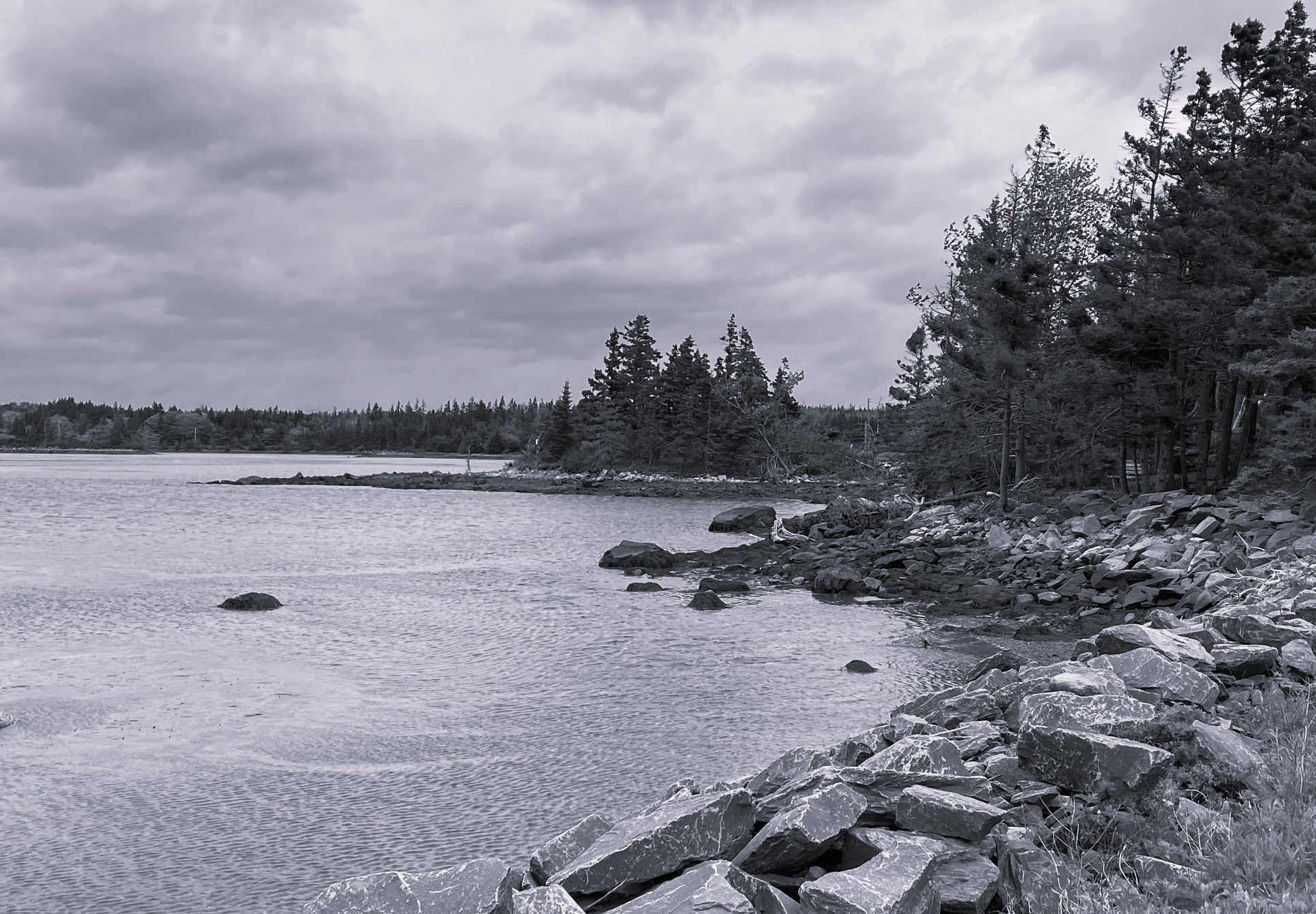
Next was, unknown to me before, little marvel cove called Caulfeild Cove. There is a monument there to the memory of on British vice count Francis William Caulfeild, who at end of his career v-ce was appointed the rank of Admiral of Royal Navy and served during the 1 world war under the British Imperial ensign. As far as I could search from British Office his bio, he was neither very successful commander nor liked by his crews and got the distinction in Admiralty only at the end of his active career, so he would not command a ship anymore and do more damage, LOL. Having a British Peerage (due to his aristocratic birth) called for such military title though.

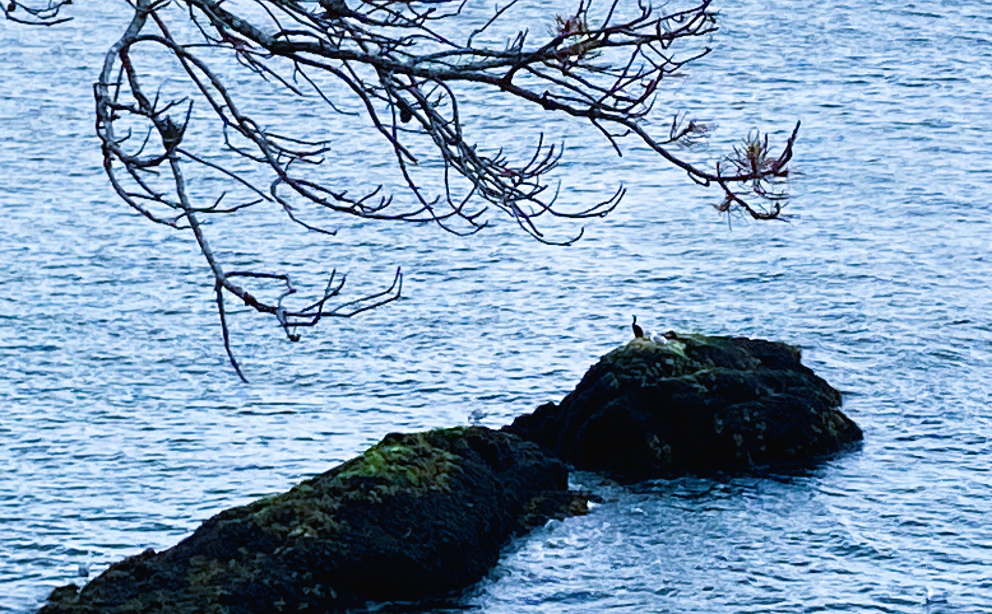
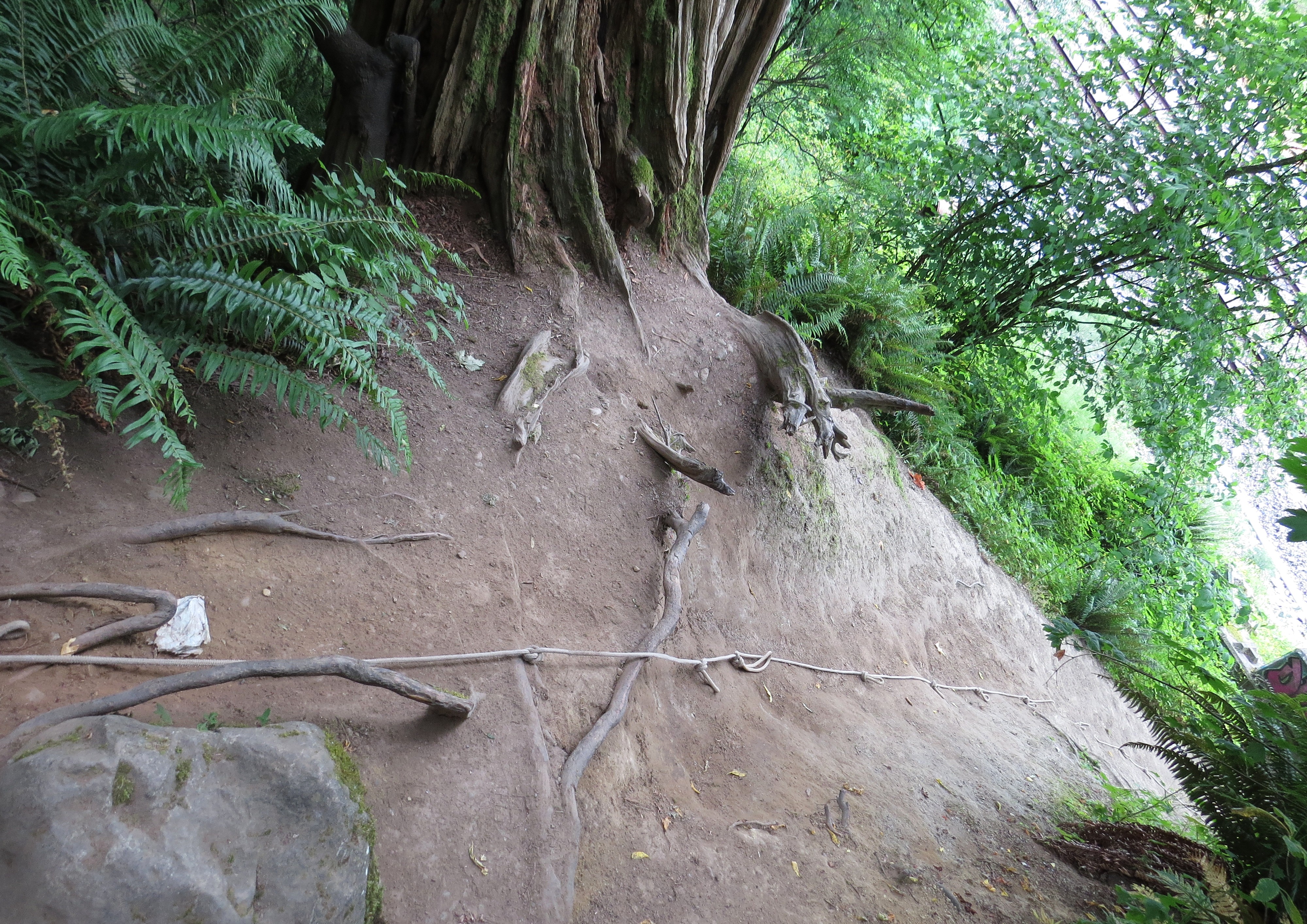
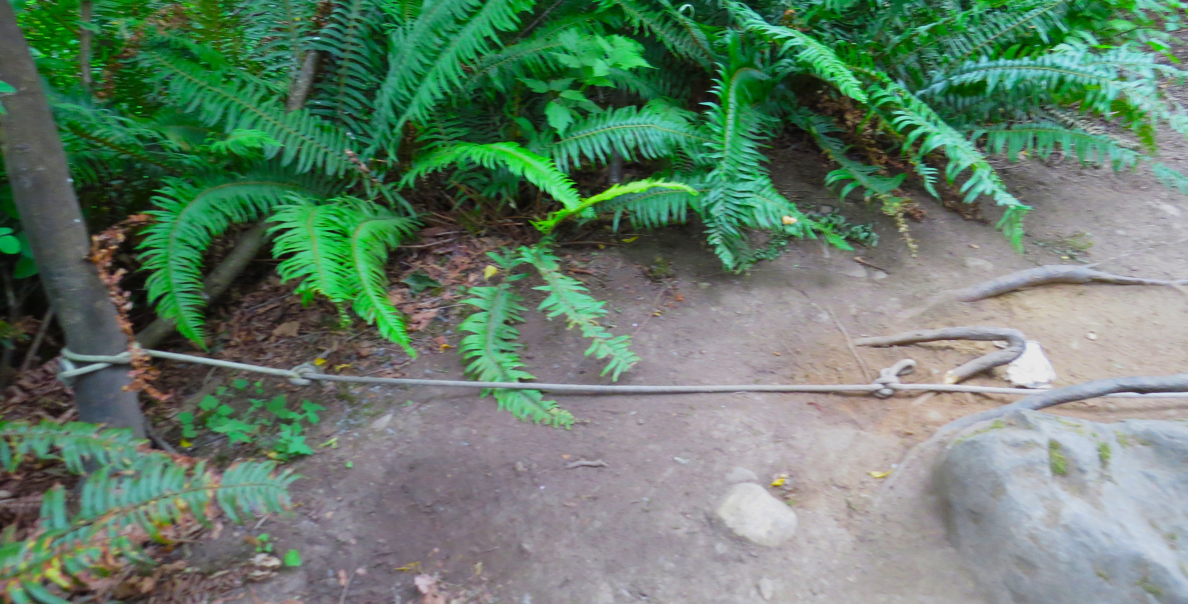
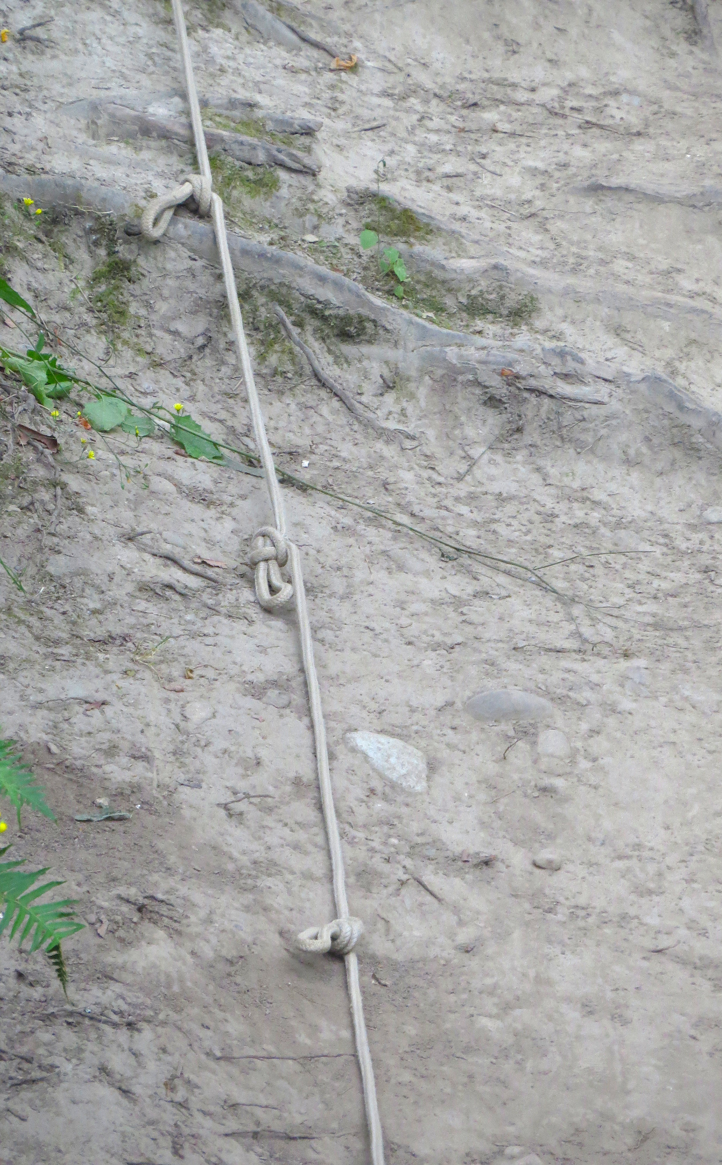
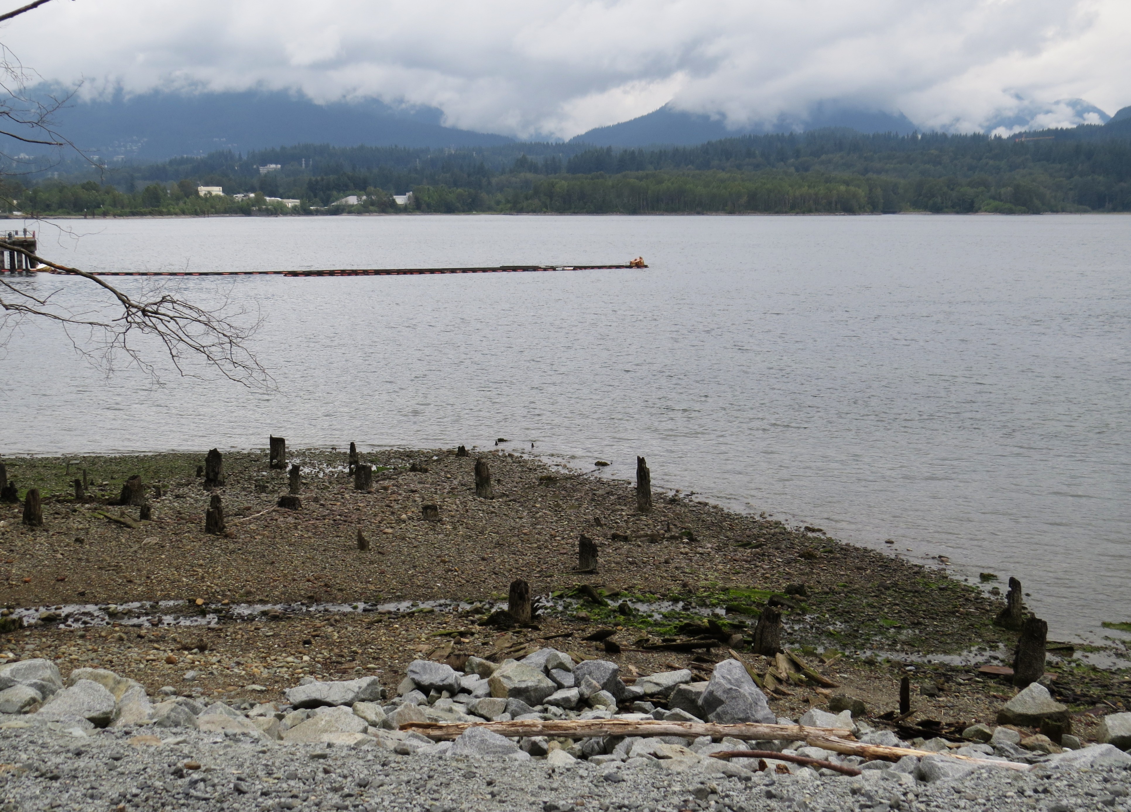
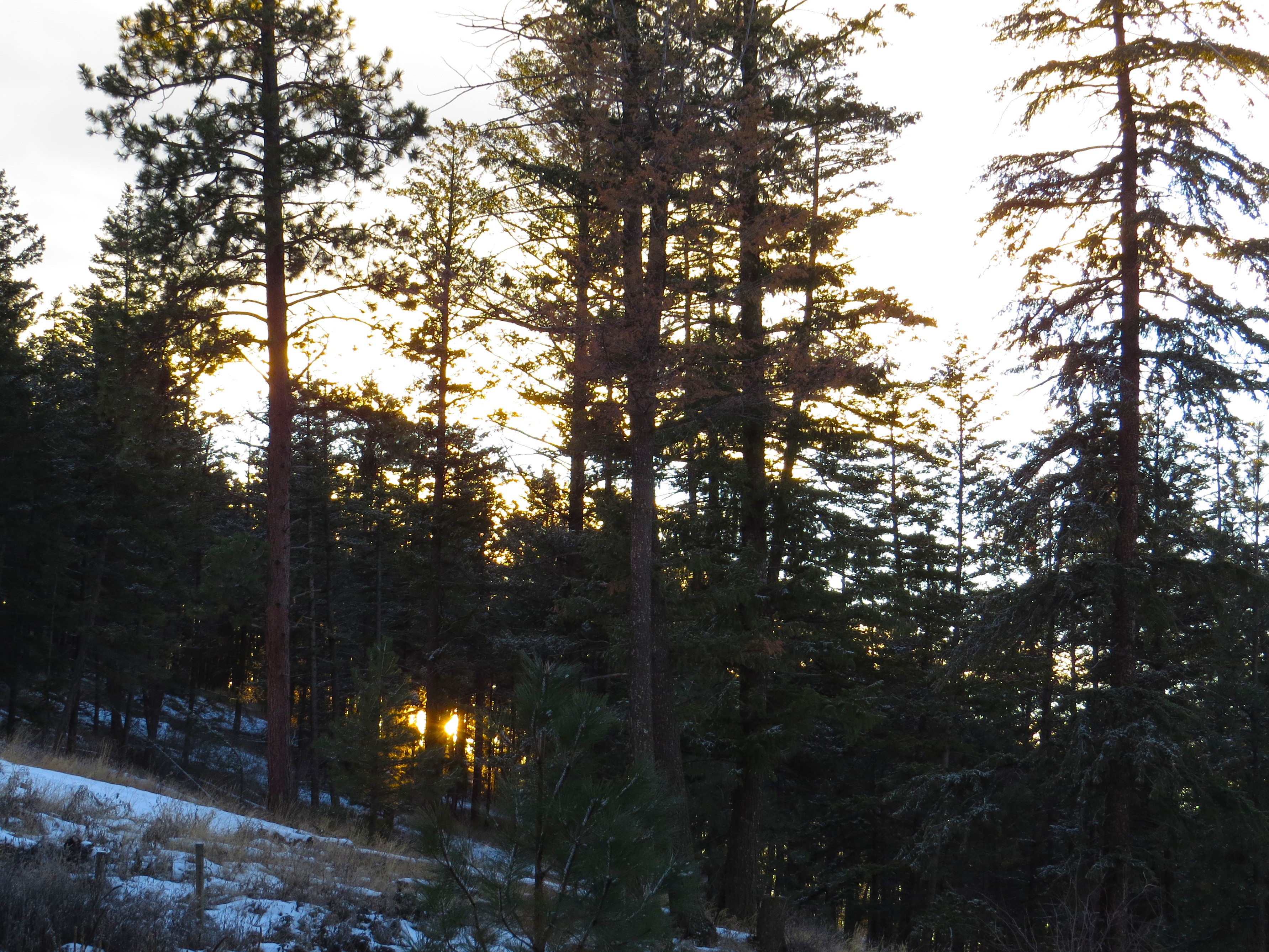
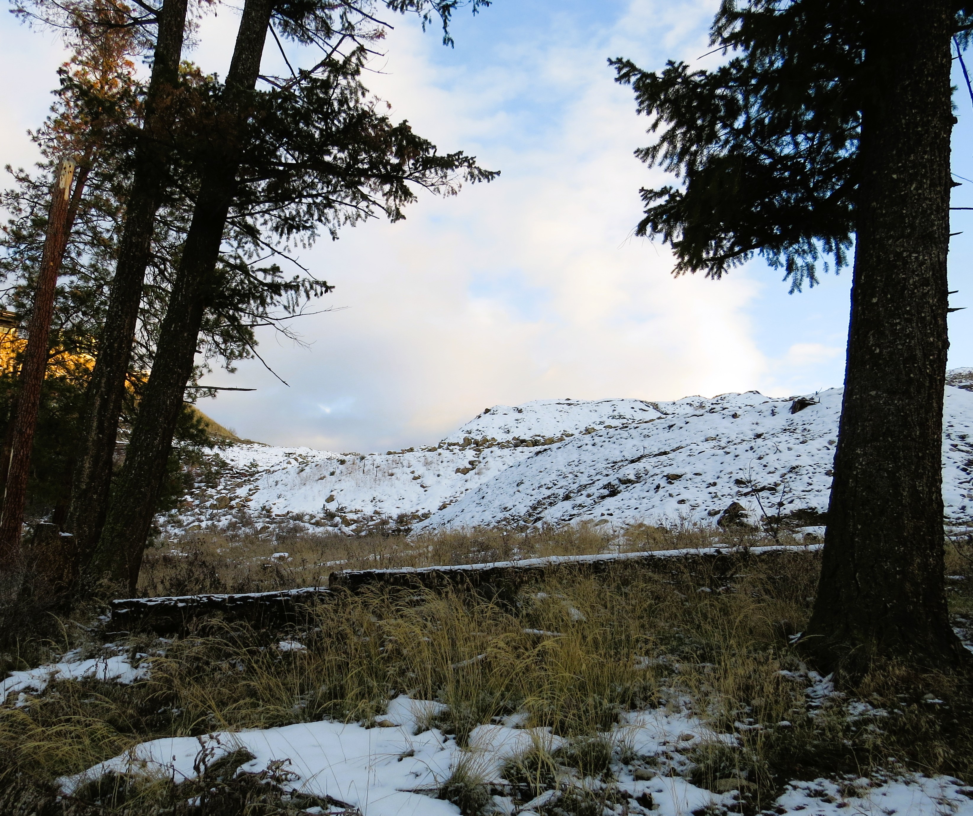
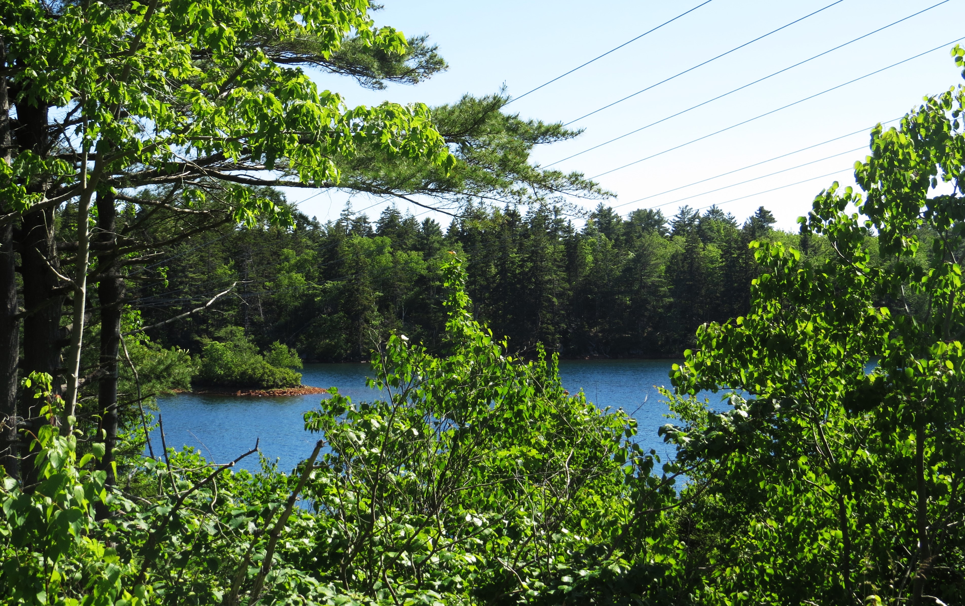
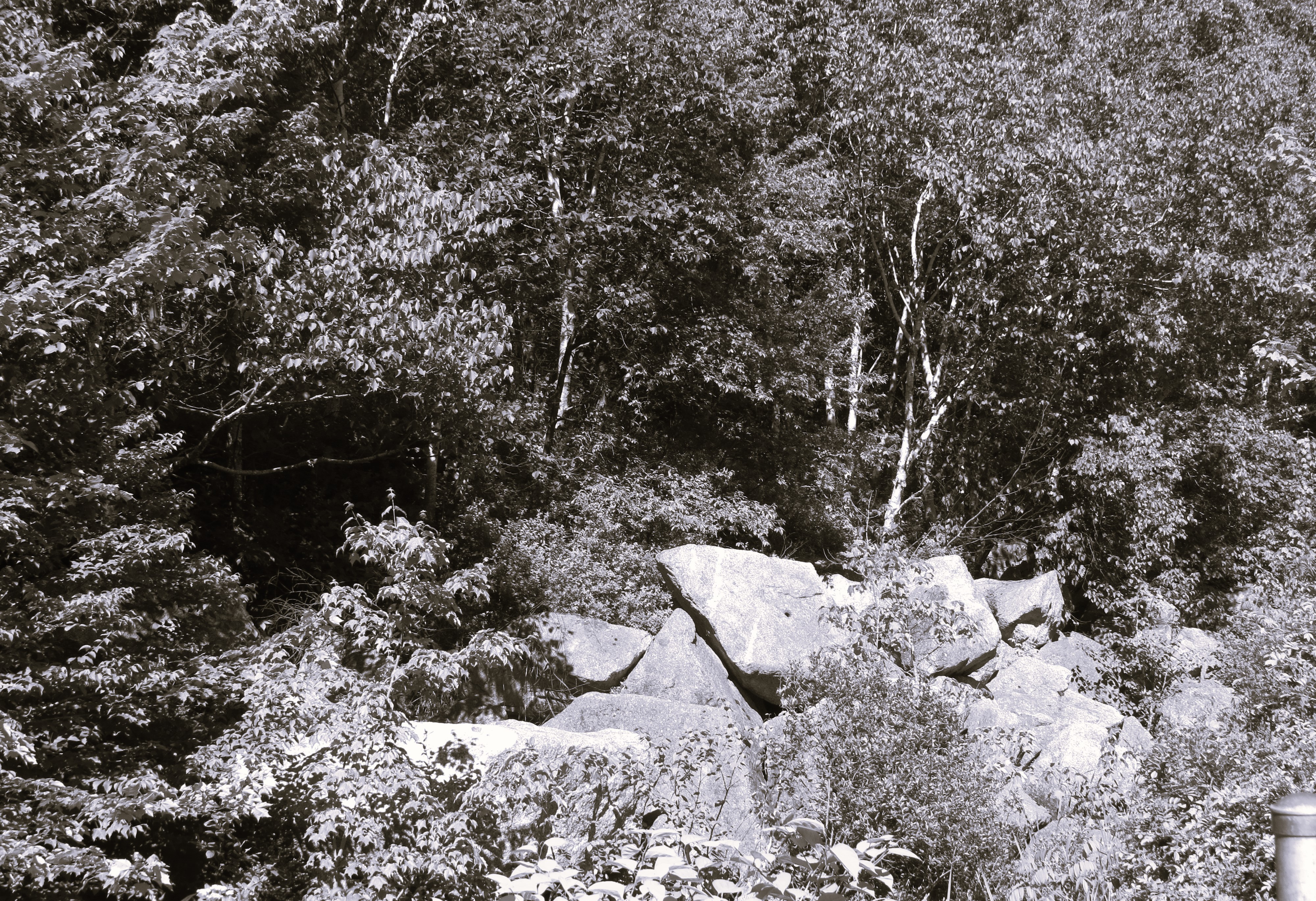
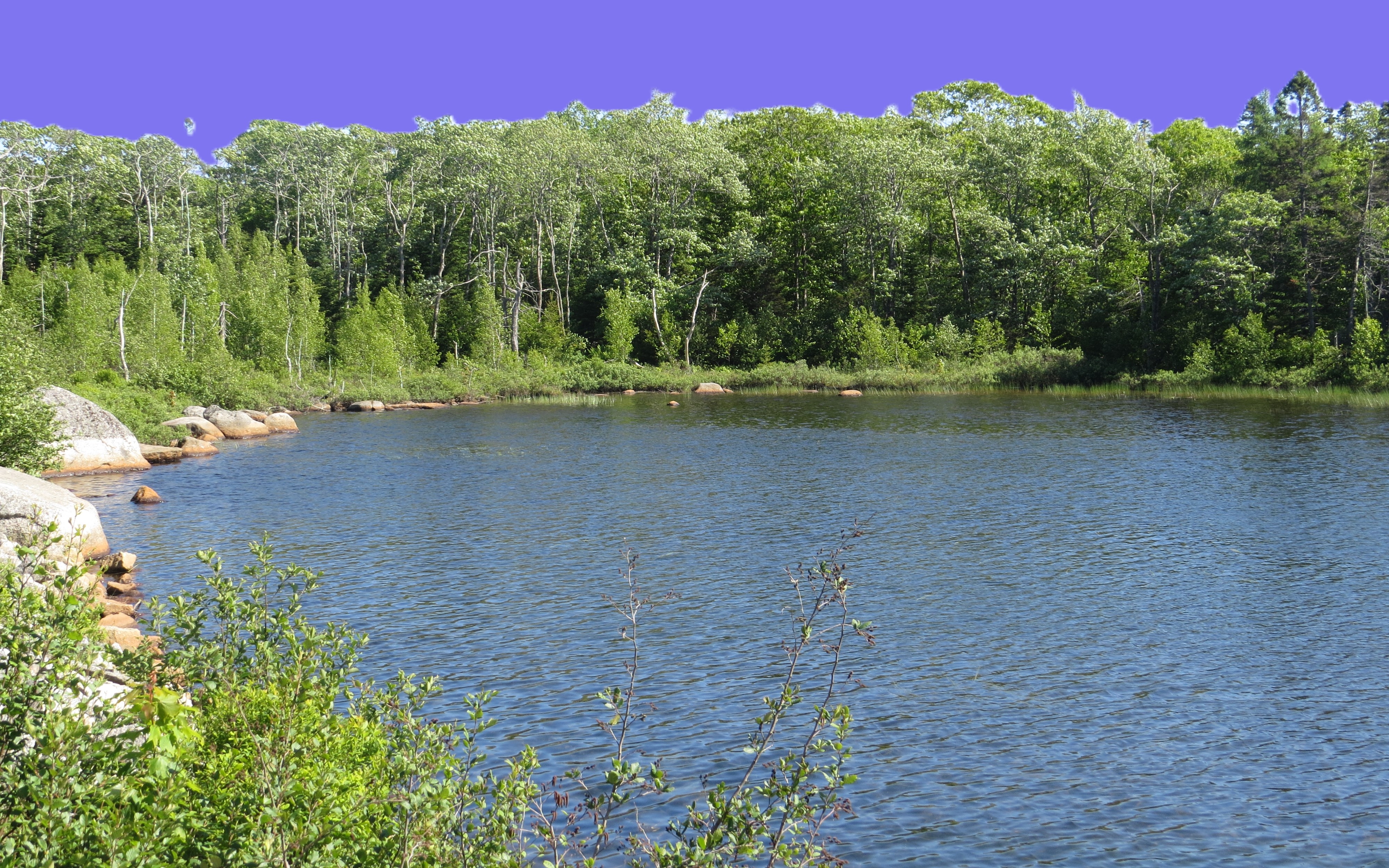
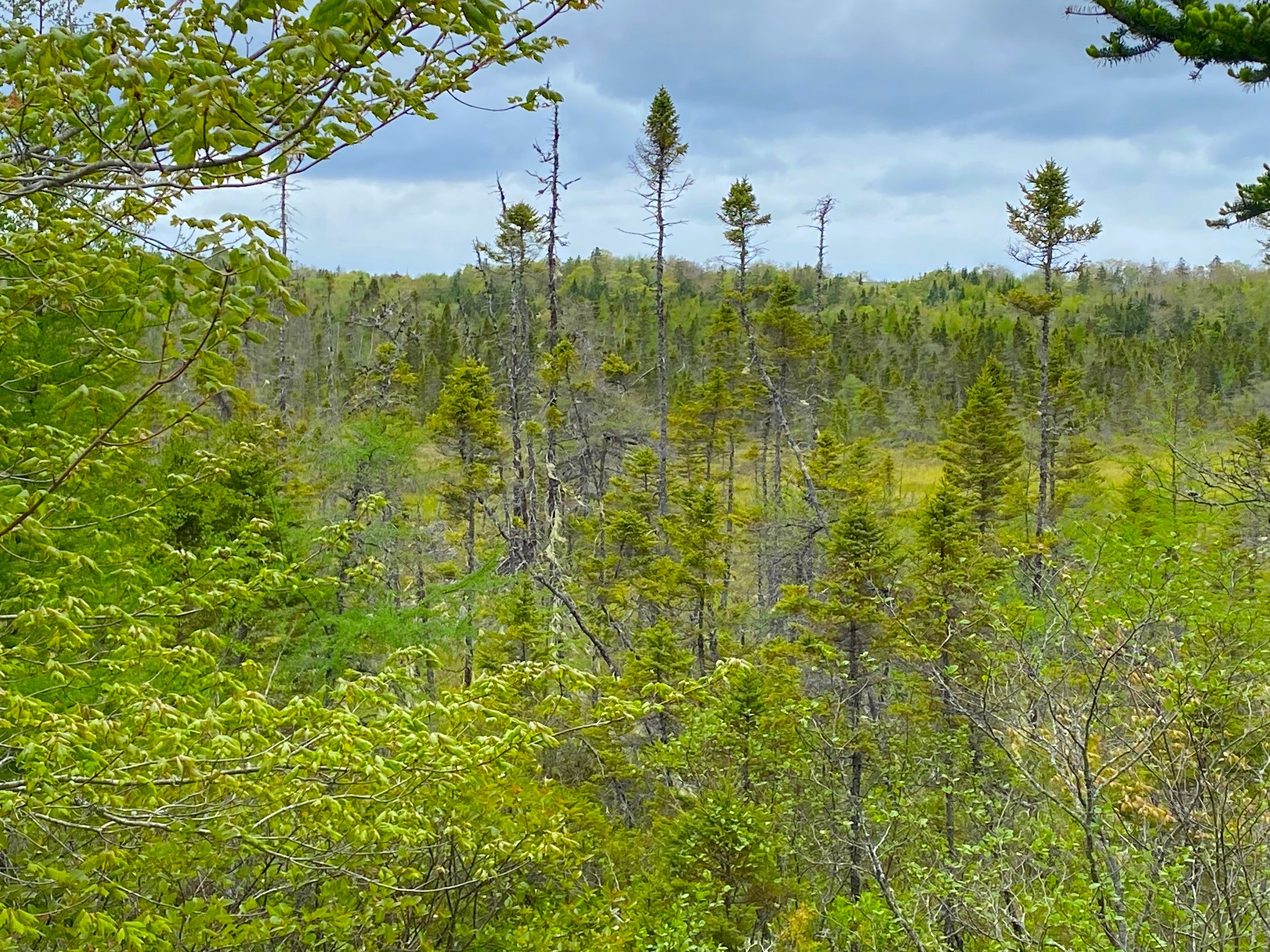
However – the cove by his name is a true and true marvel to explore. Highly recommend. Be careful though during rain – rocks are very high and could be very slippery.       

Capitol Hill, Burrard Inlet and Confederation Park

Capitol Hill, Burrard Inlet and Confederation Park

It is continuation of my journey back in time, to the late 90ties of previous century. To the time me and John arrived to BC from Alberta and lived on Capitol Hill there. We were young, in love and the city had such a cosmopolitan taste to it.

From the very top of the Hill, right at the end of our street, there was a forest and a trail I have taken many times toward the Confederation Park. But before I got to the Park, I used to walk there through trails less travelled, wild actually. At the end of these wild overgrown trails I had a secret, invisible to most, narrow access to the shore. I used to call it ‘beach’, but truth being told – it wasn’t a beach at all, just a very rocky outpost, surrendered by rusty and cement relics of an old industrial activity from many years ago. But it always offered me tranquil time to think, relax, sunbath at times. To observe the busy fjord in it’s full glory, and the North and East Vancouver on the opposite shore. It is amazing how busy the fjord is commercially – pipes and pumping stations to transfer the oil from tankers, pleasure crafts. But mostly the industrial, the heavy lifting so to speak, often not noticed by a typical visitor-tourist.

In fact not that much has changed. The Inlet still is a ‘working horse’ for the economy of this region. Just in a more cleaner, efficient way then in the old days. But rusted scraps are visible in that wild shore everywhere.

Maybe first just a few photos from my way toward Capitol Hill via very long walk along the Nanaimo Street in East Vancouver.

…. and the Hill and shore

… from there I wen back to civilization (why I don’t know, LOL) to lovely Confederation Park. It did change a lot, too. Back in my time it was mainly just a vast green space, lots of benches to sit, group of old Italian guys playing bocci in the dirt. Now there are sport fields and tracks for running everywhere, huge sport and aquatic pavilion, and the old Italian guys are gone, too …

Wawa called me from New West and offered to pick me up by car. I can’t say that I wasn’t happy to have this boy as my dear friend (I know that he is rather grown up man – but being my friend he has to put up with me calling him a ‘boy’, LOL). My age gives one some level of impunity from punishment, ha ha ha. By the time he called I was exhausted and my legs (not just the injured one, but both) just had enough. But now that I had a car and driver – why going home?! Of course we went up Hasting, turned on the north side of Burnaby Mountain toward Port Moody and visited a narrow, old beach on the very narrow part of the fjord. I used to come to that beach many a times and swim in the very deep and rather fast moving water. That was an icing on the top of the cake of my long escapade. after that – just a pleasant chat and drive home (in Wawa’s car, naturally).

The entire day, just like the previous day, stirred a lot of memories of the best years of my private life.

Here is the visit to that narrow strip of Burrard Inlet.

Trails, Sun and Moon above Okanagan Lake

Trails, Sun and Moon above Okanagan Lake

During the long Pleistocene there were few glacial movements in what is known now as an Okanagan Valley. It created an amazing mixture of land and water formations near Kelowna. Of course Okanagan Lake, the largest depository and former deepest channel of the glacier as it retreated from these lands. But there is multitude of smaller lakes stretching to Shuswap and Arrow Lakes to the east and multitude of smaller lakes in the mountains and hills surrounding the valley. Between – a maze of streams and small rivers feeding middle size lakes (Maramata, Kalamalka and Wood – to name just a few) or the huge Okanagan Lake.

Today I went for trek to some of the high hills (mind you – still hills, not proper mountains) on the southeast above Kelowna. It is a mixture of grassland and small patches of wooded area with pines and shrubs. Human habitation is ever encroaching there, as people build more and more monstrous mansions higher and higher.  Still, I hiked higher and further. At a certain spot, traversing a deep gully with very steep sides I have noticed a narrow trail from the bottom to the other side. As the gass was half frozen and numerous patches os snow made it slippery, I gladly took that narrow trail. I realized quickly that it was narrow for a good reason – it was not made by other hikers but by animals. The only marks I found were those of coyotes and very distinctive footprints of a bear. As the slopes were very steep, I couldn’t see what was on the other side and ascertain how fresh the footprints were. My chances of running very quickly on that terrain were rather slim. But today our paths did not cross… , LOL.  I followed, were I could, old existing trails: aptly named Hoodoo Trail, Coyote Trail and Grassland Trail. In parts – mostly it was just the grassland and the trails appeared and disappeared under the grass and snow.  

The view from these hills toward the city far away and the mountains above me was just amazing. An eagle was screeching angrily at me – go home! And laughingly I yelled back at him: never you mind, I will not bother you, go away! Which he did flown away from hi s nest on one of the tall pines. The eagle also gave sign that a true spectacle was just about to begin: the absolutely stunning sunset on the west side and almost full moon on the east. It was something to behold. Hope my camera captured part of it. Enjoy.

Back to the trails in 2025 around Kelowna

Being the last day of the last year  I went yesterday for a longer walk afternoon. Not far, maybe five kilometers, to the base of Toovey Hill in Kelowna. On the walk there I met a wonderful iron biker hurrying up to chase off the old year and bring the new one.  And he did (as most of you I hope noticed, LOL – it is 2025).

But today the New Year is here. Why not – lets continue that walk started yesterday. And take our two dogs (Roko and Czorcik) along for that walk. We did. But why finish where I stopped last night? No point – newer should be better, shouldn’t it? Czorcik (pronounced Chorcheek which means exactly that in Polish – a little devil) being that tiny devil. agreed, LOL.

We went to the bottom of the hill, crossed a busy Highway 33 and ended up by little church and pond there. We went there once before, I recall at that time was still warm Fall, pond was full od ducks and definitely not frozen. Not today, tough. Today it was solidly frozen. I asked loudly: shall we go back home? Simultaneously we both replied: nah, what for? Let’s go further.

And we did. A lovely old windy road settled between orchards and farmhouses took us all the way to the beginning of Mission Creek Park. A park we know both very well, as we walked and hiked there twice. I posted here short photographic memories of the first trip [i].

Here are some more of the pictures from the other end of Mission Creek forest, the less travelled, definitely not touristy road.


[i] Urban Mission Creek Park and a lake on high mountain in wilderness of Okanagan, BC. – > > Pogwarki < <

The Chain Lakes bike trail in Halifax, NS

The southern end of Halifax offers very different bike trails – city trail that meanders as an elegant path for city dwellers. It is not necessarily my type of cake but yesterday was the day of my sweet tooth call. I have answered and voila: The Chain of Lakes Trail.

It passes so many industrial and commerce sites, crosses so many highway so many highways, that you would think that is a typical big city bike trail that has nothing to do with actual nature. That it is a manicured trail that gives a city folk the theatrical gimmicks of feeling that he is in wild nature. Which – of course – is not true, it is just orchestrated effort to mee that desire.

To my happy surprise, it truly is not the case with this particular trail. Yes, it is without any doubt a city trail. You will find there many walkers, bikers and families that you would not normally find in a forest, on the shores of wild lakes or a totally wild ocean. But it is also a trail that very quickly you forget about it. That you just immerse yourself in the astonishing beauty of passing little streams, meadows and an array of wildlife. Did I mention the lakes that give it its name?  Yes – the amazing Chain Lakes (there is two of them, hence the name ‘chain’).

I started it from a little small park off the St. Margaret Bay Road via Crown Drive. It takes you pass the First and Second Chain Lakes, after double crossing of two streets with special lights and stop signs for bikers and walkers, it follows you through more industrial neighborhood, yet again – if you don’t rise your head too high, you might not even notice as you are biking alongside the lakes Bayers and Lovett.

I meant to bike it many years ago, when we came with John to Nova Scotia. Never did. The time has come to fulfill that promise. I did and I’m glad.

Somehow, it felt that he is biking right beside me. That he kept glancing at me and smiling. But that is entirely different story to write.

This particular image (part of the industrial site close to the Lovett Lake) for some reason took me right away back to the 1980′ in Southern Alberta: there was a time when I was travelling often to the University of Lethbridge. Just before you see the city of Lethbridge – you see the old train trestle bridges that used to connect Alberta and the States on one end, and the Okanagan Valley on the other end. This structure is just a metal box that will eventually become some sort of warehouse. But that was the very first impression I had, when I noticed it. Funny how visual memory works independently in you brain. Of course that is not a valid argument that one has a brain. But a hope, nonetheless.

West Lawrencetown Forest

Yesterday I biked the trail leading from Rainbow Haven’s Beach to Cow Bay near Dartmouth. The area opposite that trail ends with enormous salt marches-lake. All across that long lake there is a well constructed trail connecting it with the beginning (or end) of another section of this part of Canadian Trail. Last fall I have taken that trail (that part of the Canada Trail is named aptly “Atlantic View Trail”) from West Lawrence Road all the way to Lawrencetown Beach Provincial Park which is about 30 kilometers forth and back. Today I started at the same point, but went the other direction – toward the Rainbow Haven huge lake. It is shorter, about 12-13 kilometers back and forth. At times it was very windy but the trail did not disappointed. In my life time I was lucky enough to hike/bike both extreme ends of the Canada Trail: on Vancouver Island in BC (it is just insanely beautiful there) and on the Atlantic coast in Nova Scotia.

June Lady Slipper is very familiar (but does not grow in abundance and is a very delicate and solitary creature) flower in this part of Nova Scotia in the spring. The formal name has a more distinct and elegant tone: cirypedium acaule. It likes very much the acidy soil. I guess, as any elegant lady it likes a glass of acidy wine now and then, LOL. I adore them – both species, LOL.