The charm of Downtown Vancouver through camera lense

The charm of Downtown Vancouver through camera lense

I posted here already photo galleries of Commercial Drive in Vancouver; of quaint sweet Ladner; of course of my beloved Stanley Park. Now it is time for cherry on top of it: the incomparable beauty of Downtown Vancouver.

Były tu już posty w ostatnich miesiącach z ruchliwej, uroczej Commercial Drive we Wschodnim Vancouverze; były z magicznego, zaczarowanego Stanley Parku, z uroczego małego Town of Ladner. Czas na koronę tego piękna zwanego Wielkim Vancouverem: Downtown Vancouver.

Trails, Sun and Moon above Okanagan Lake

Trails, Sun and Moon above Okanagan Lake

During the long Pleistocene there were few glacial movements in what is known now as an Okanagan Valley. It created an amazing mixture of land and water formations near Kelowna. Of course Okanagan Lake, the largest depository and former deepest channel of the glacier as it retreated from these lands. But there is multitude of smaller lakes stretching to Shuswap and Arrow Lakes to the east and multitude of smaller lakes in the mountains and hills surrounding the valley. Between – a maze of streams and small rivers feeding middle size lakes (Maramata, Kalamalka and Wood – to name just a few) or the huge Okanagan Lake.

Today I went for trek to some of the high hills (mind you – still hills, not proper mountains) on the southeast above Kelowna. It is a mixture of grassland and small patches of wooded area with pines and shrubs. Human habitation is ever encroaching there, as people build more and more monstrous mansions higher and higher.  Still, I hiked higher and further. At a certain spot, traversing a deep gully with very steep sides I have noticed a narrow trail from the bottom to the other side. As the gass was half frozen and numerous patches os snow made it slippery, I gladly took that narrow trail. I realized quickly that it was narrow for a good reason – it was not made by other hikers but by animals. The only marks I found were those of coyotes and very distinctive footprints of a bear. As the slopes were very steep, I couldn’t see what was on the other side and ascertain how fresh the footprints were. My chances of running very quickly on that terrain were rather slim. But today our paths did not cross… , LOL.  I followed, were I could, old existing trails: aptly named Hoodoo Trail, Coyote Trail and Grassland Trail. In parts – mostly it was just the grassland and the trails appeared and disappeared under the grass and snow.  

The view from these hills toward the city far away and the mountains above me was just amazing. An eagle was screeching angrily at me – go home! And laughingly I yelled back at him: never you mind, I will not bother you, go away! Which he did flown away from hi s nest on one of the tall pines. The eagle also gave sign that a true spectacle was just about to begin: the absolutely stunning sunset on the west side and almost full moon on the east. It was something to behold. Hope my camera captured part of it. Enjoy.

On John’s street in Kelowna …

In the middle of Kelowna there is a magic street called ‘Graham Road’. It is magic not only because of the name (my husband’s and soulmate) but because it is magic during the Christmas time. We went there tonight with my cousin, a good week after Christmas – but there was still plenty to marvel at. Check it out yourself. And next time you are during that time – remember to go there for a walk or drive .

… and few more from her own magical winter adobe

Urban Mission Creek Park and a lake on high mountain in wilderness of Okanagan, BC.

Urban Mission Creek Park and a lake on high mountain in wilderness of Okanagan, BC.

Last two days two nice and very different treks. By land and by water. Friday by land, twelve kilometers through amazing Fall colours of Mission Creek Park following the shoreline of meandering and fast-moving creek, and on Saturday a drive Oyama through the snow- and ice-covered mountain to Oyama Lake. The temperature was still too high for the lake to freeze, there was hardly any wind, and kayaking was a nice adventure.

My perfect companions in Okanagan of kayaking – my cousin Lula and her friend Mike – made it a happy outing. For a lunch we ‘invaded’ a large, secluded and totally wild island, without any traces of human visits, made a little bit of clearing on the shore, gathered some dead wood, big rocks from the shoreline to construct a fireplace and had a lunch that tasted better than dinner in Maxime in Paris.

They will most likely return there during summer, so we spent some time arranging the rocks in the water to make a perfect natural harbor for two kayaks. Just a sleeping bag and voila – your private island in wilderness under the ceiling of bright stars!

Mission in Okanagan Valley – trees, sky and shoreline. – Gloria jesienna w Mission nad brzegiem jeziora Okanagan

Mission in Okanagan Valley – trees, sky and shoreline. – Gloria jesienna w Mission nad brzegiem jeziora Okanagan

Każdy dzień w tej zaczarowanej dolinie, każdy spacer, wschody i zachody słońca oszałamia furią kolorów i kształtów. A jesień to wulkan i lawa widoków zalewająca wzrok. Słów szkoda, bo i tak zbyt ubogie na opis. Więc zdjęcia pozostają tylko.

Kelowna the Queen of Okanagan Valley – Kelowna – Królowa Doliny Okanagan

Bogumił Pacak-Gamalski

(po polsku)

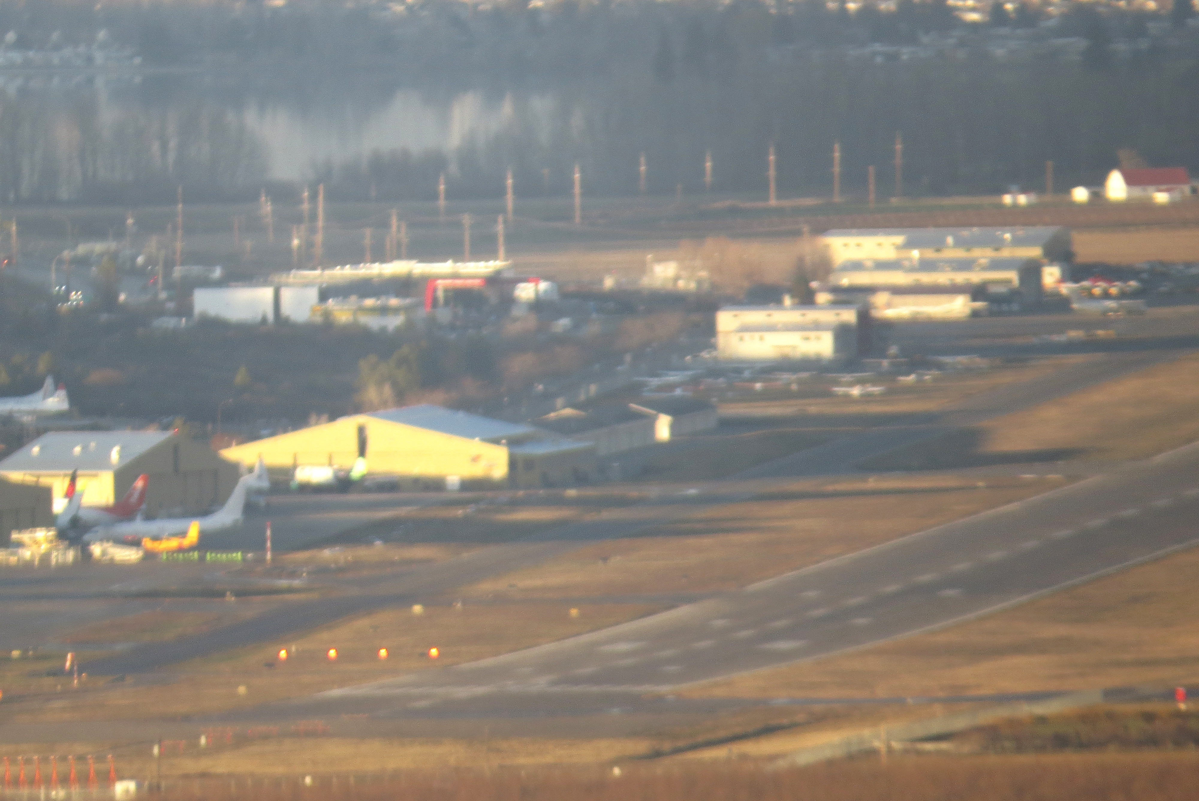
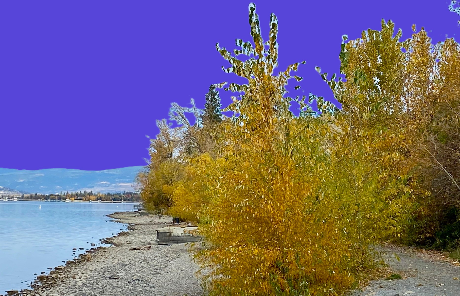
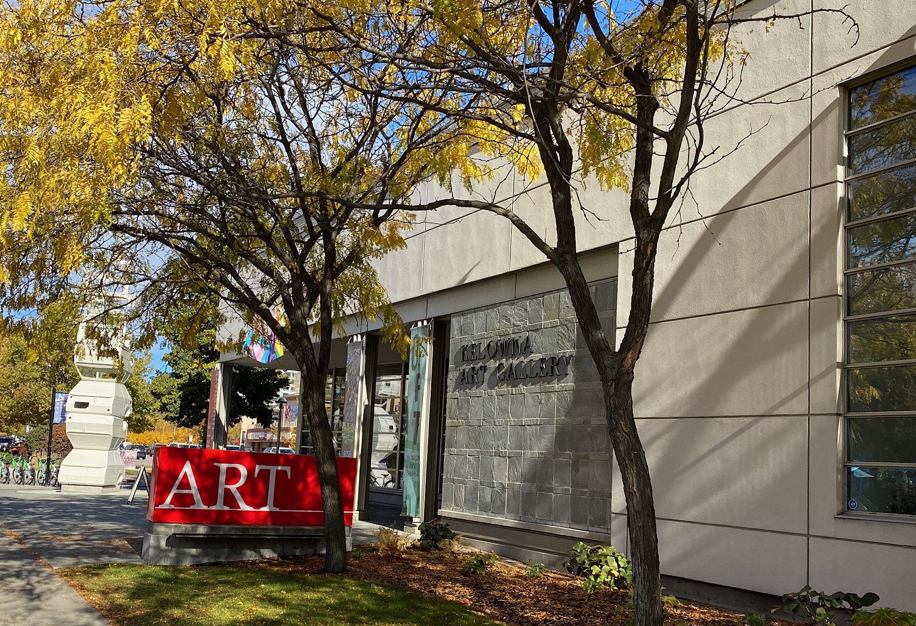
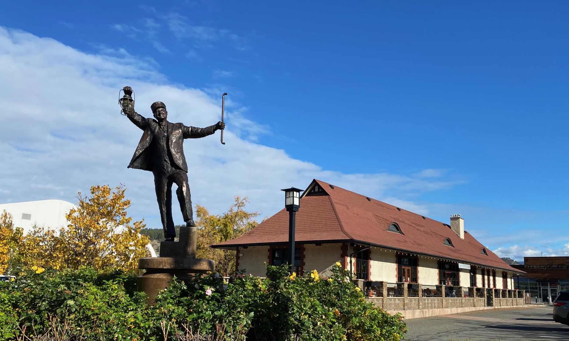
W zasadzie nie cała Kelowna, która (jak wiele kanadyjskich i amerykańskich miast) jest bardzo rozciągnięta olbrzymimi przedmieściami ciągnącymi się przez wiele kilometrów ale jej historyczne centrum – Downtown.

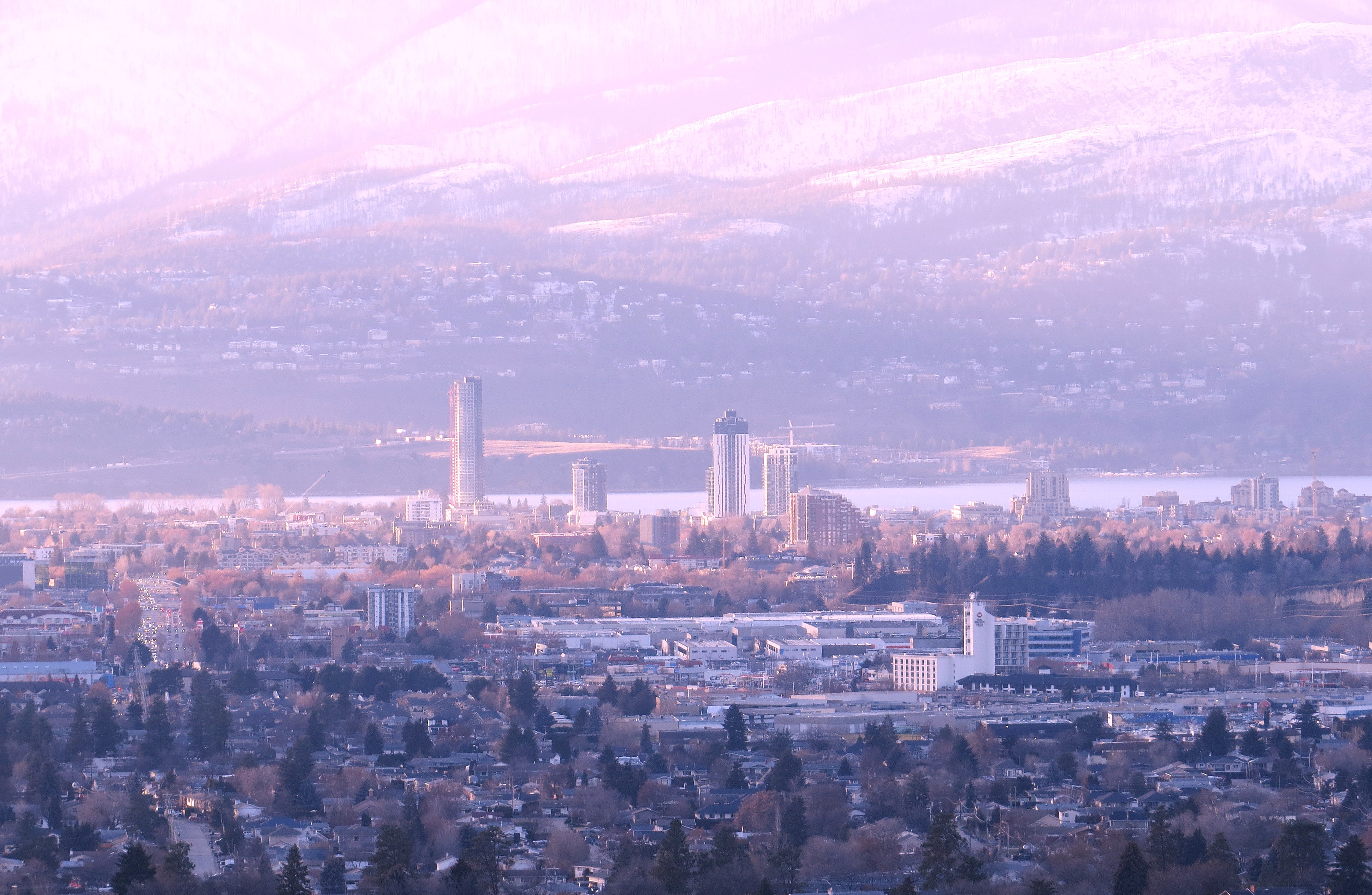
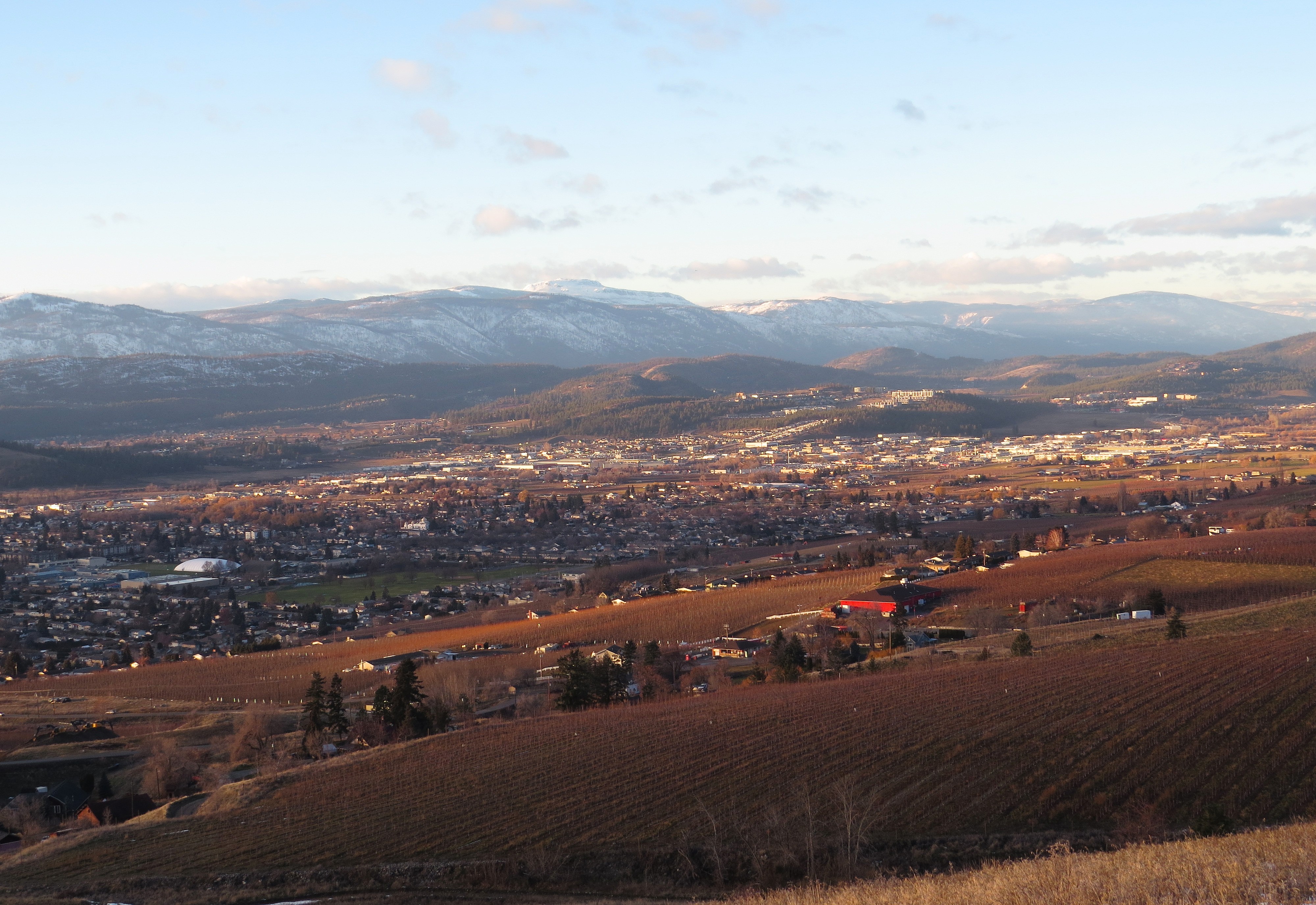
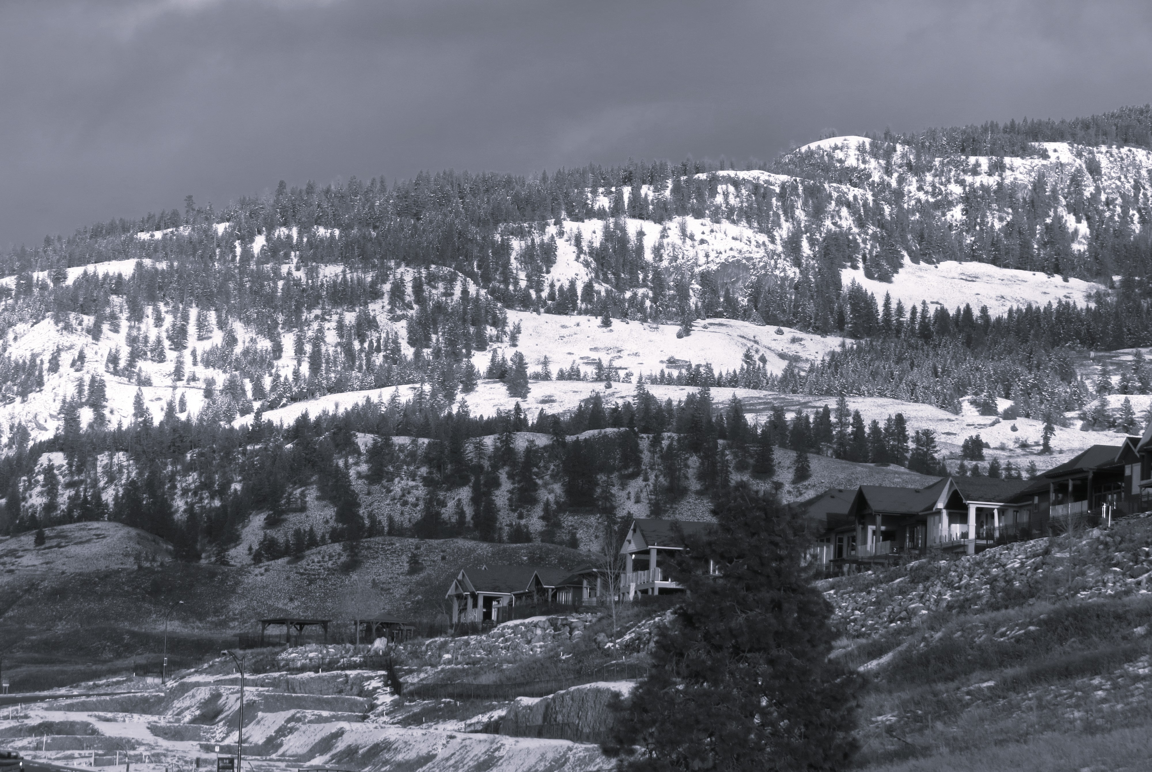
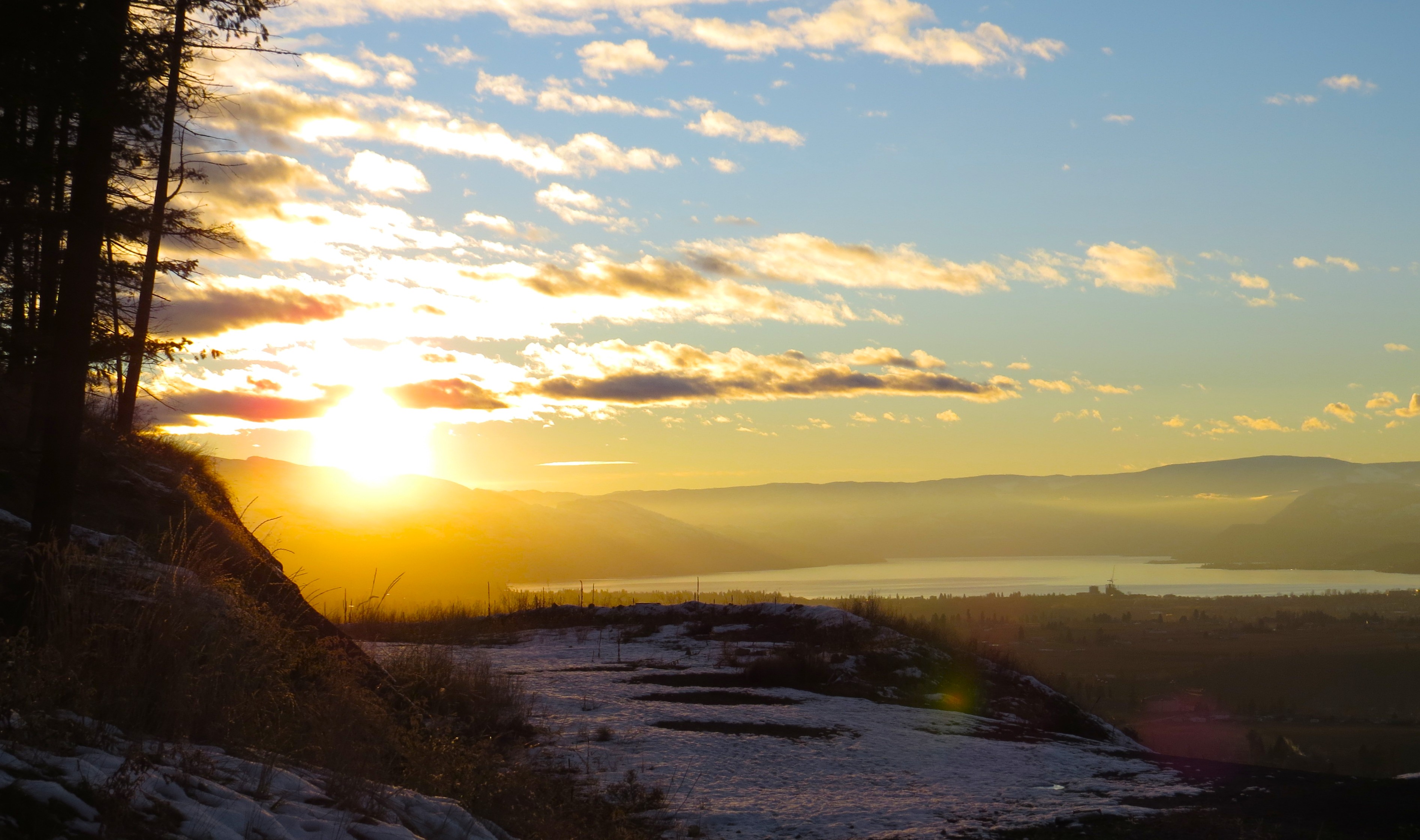
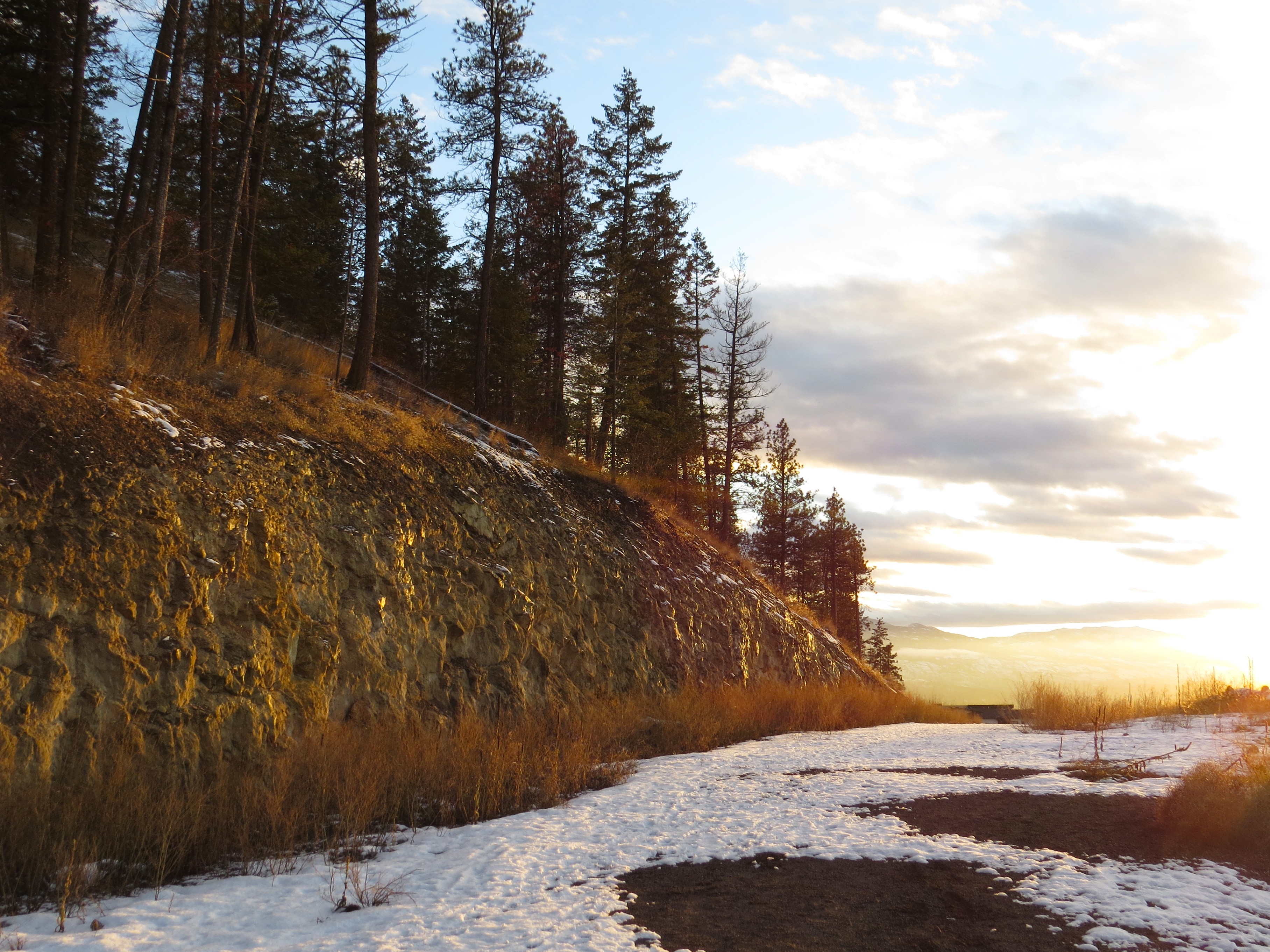
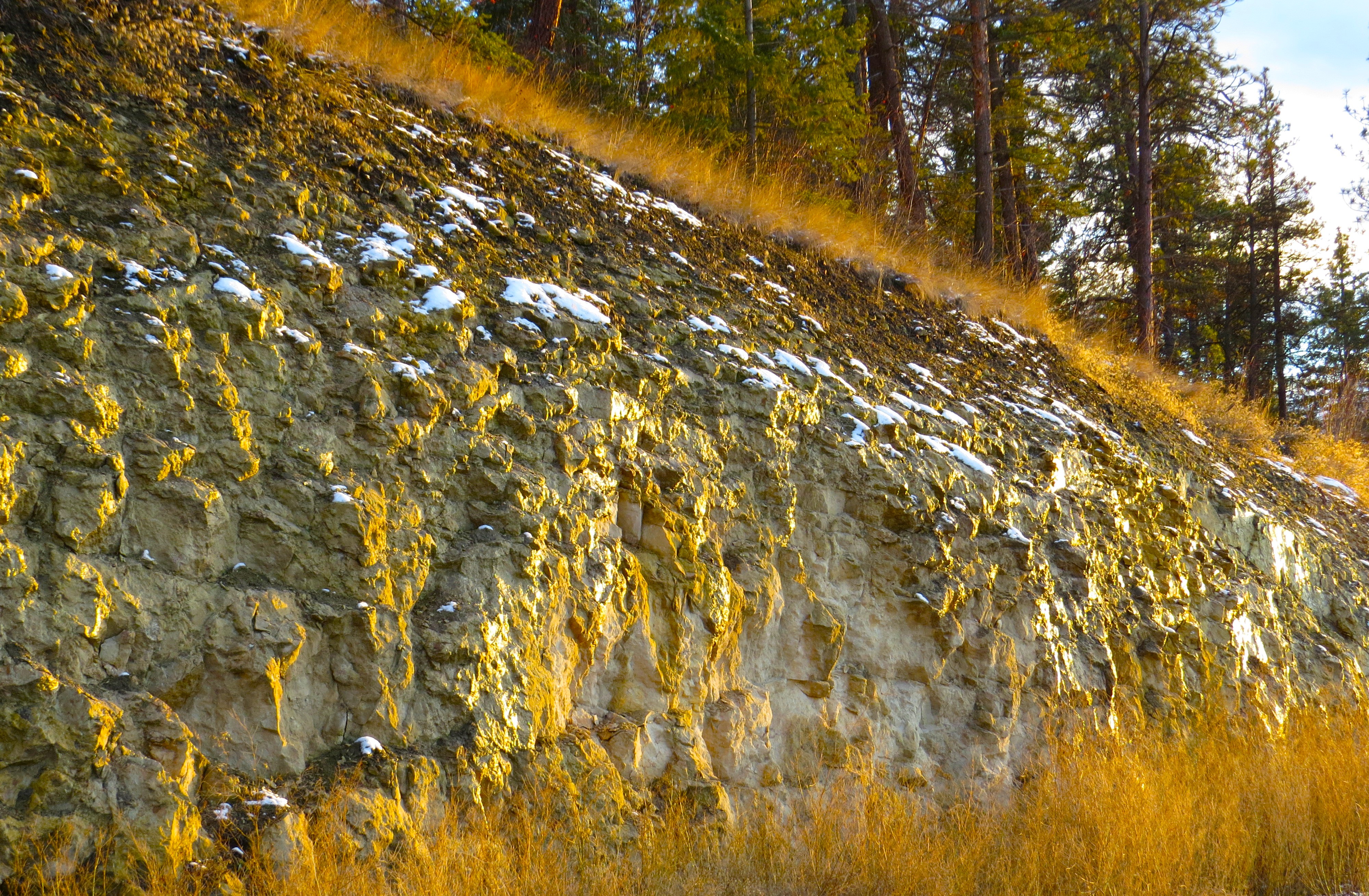
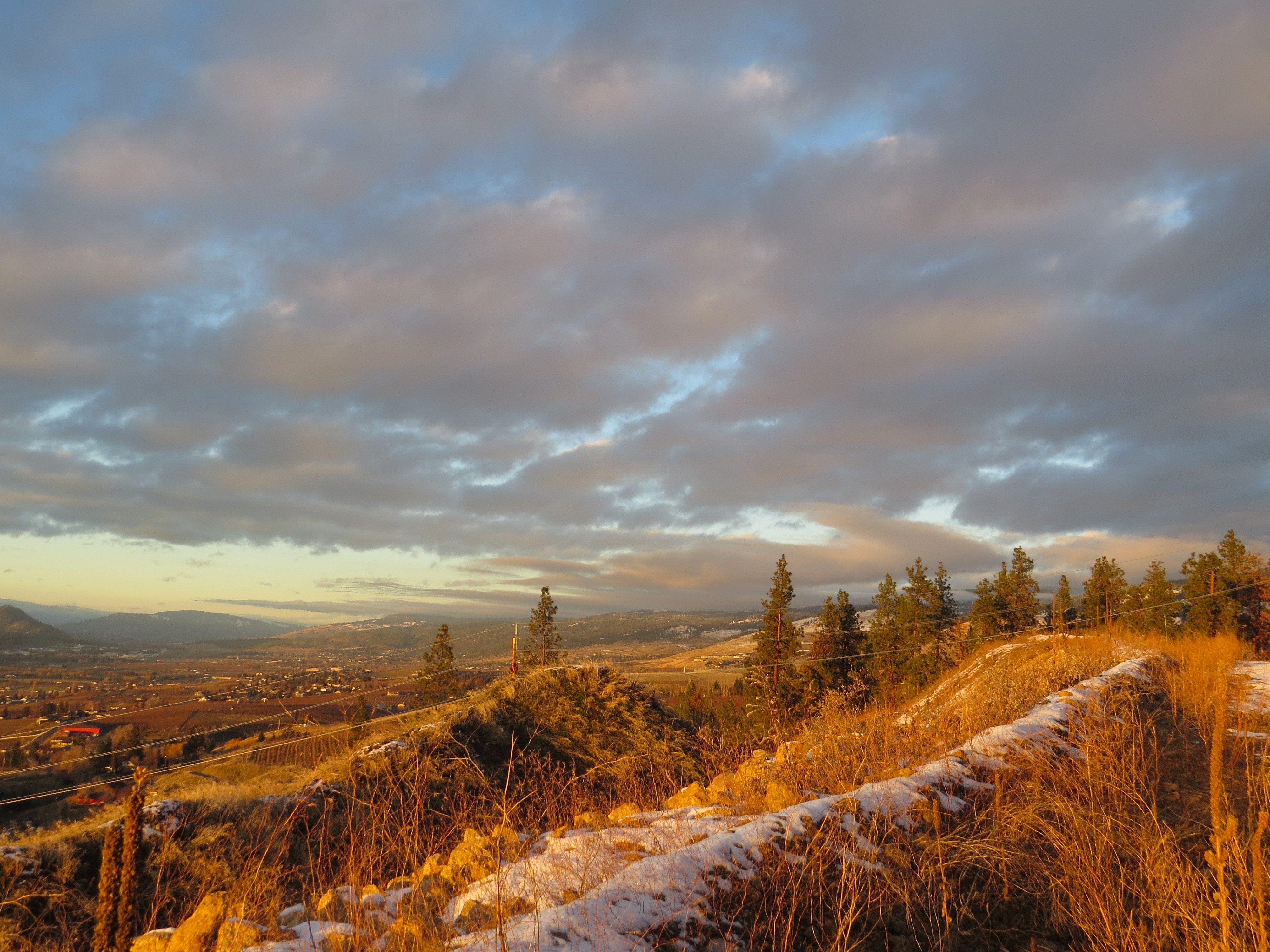
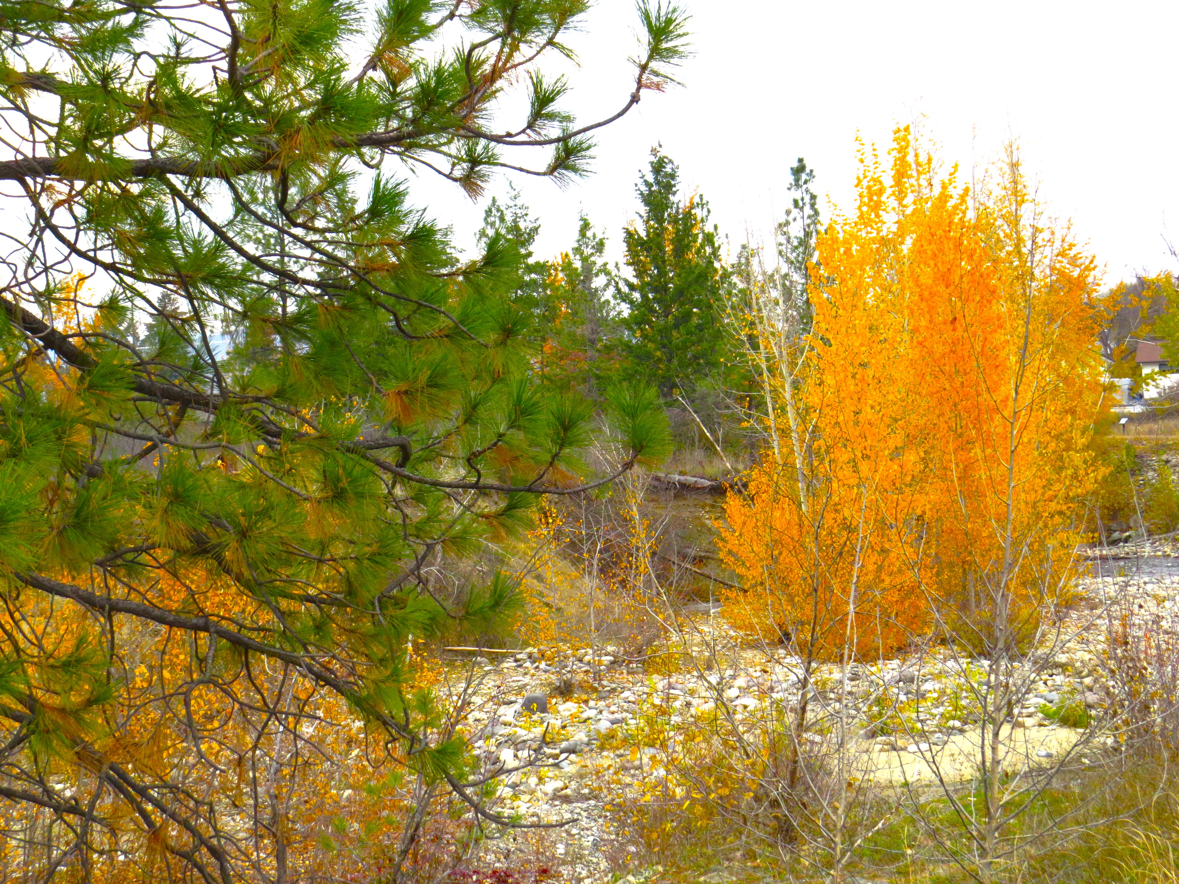
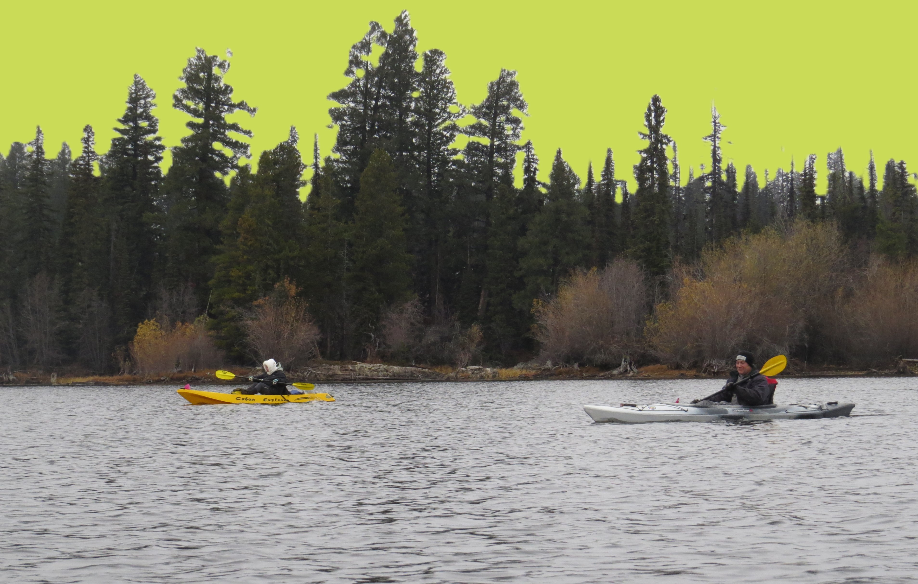
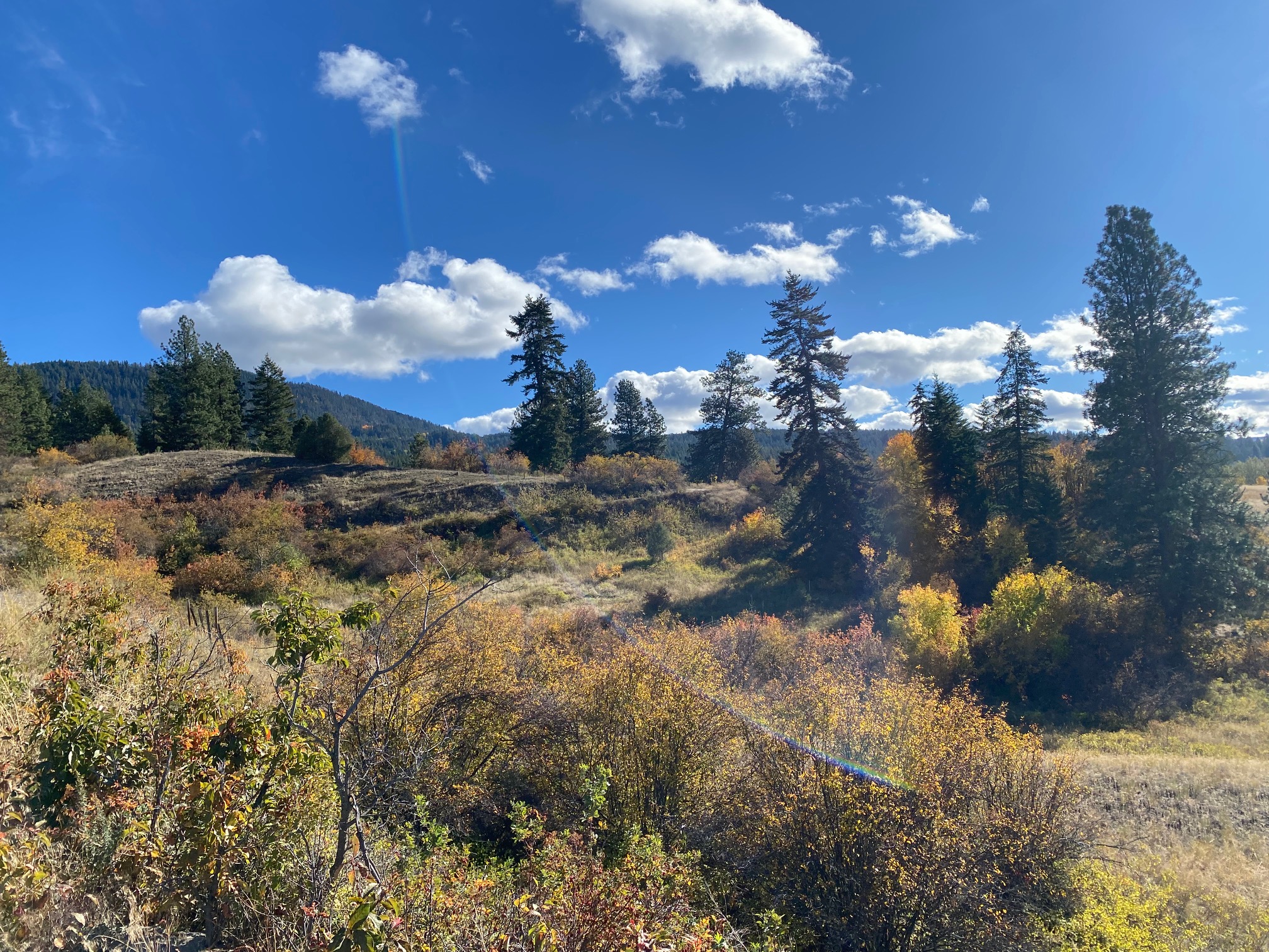
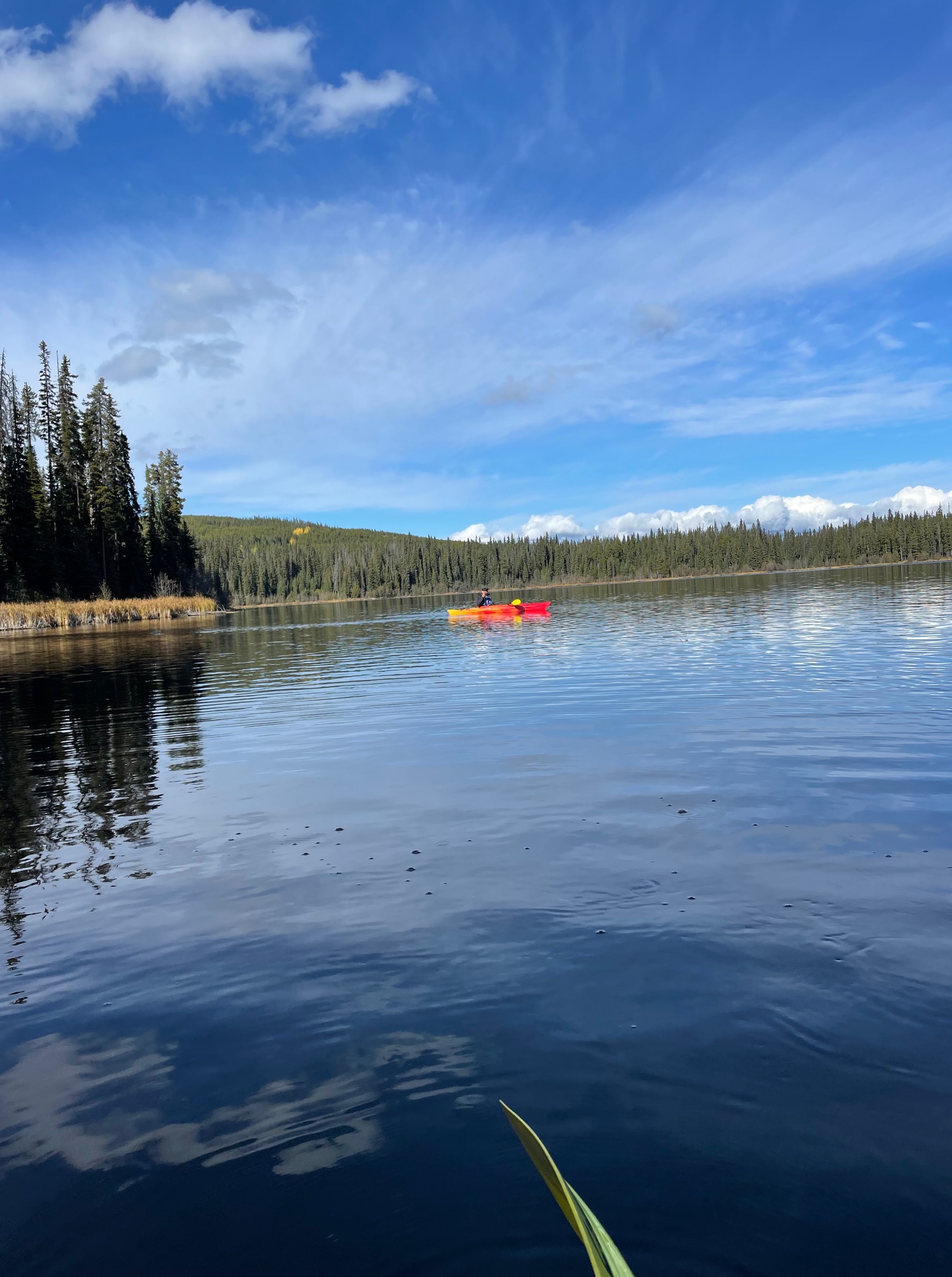
Historycznie ziemie te zasiedlone były narodami Silix lub inaczej Okinagan od blisko 10 000 lat. Europejscy osadnicy pokazali się tu bardzo późno, bo dopiero w drugiej połowie XIX wieku, a miasto inkorporowane ledwie w 1905 z 600 mieszkańcami. Współczesna Kelowna liczy ponad 140 tysięcy mieszkańców, a jej naturalne granice tworzą od północy jezioro Okanagan, od południa wzgórze Toovie i pasmo Black Mountains a od wschodu historyczne miasteczko Vernon, od zachodu rozległe farmy winorośli, jabłek i brzoskwiń.

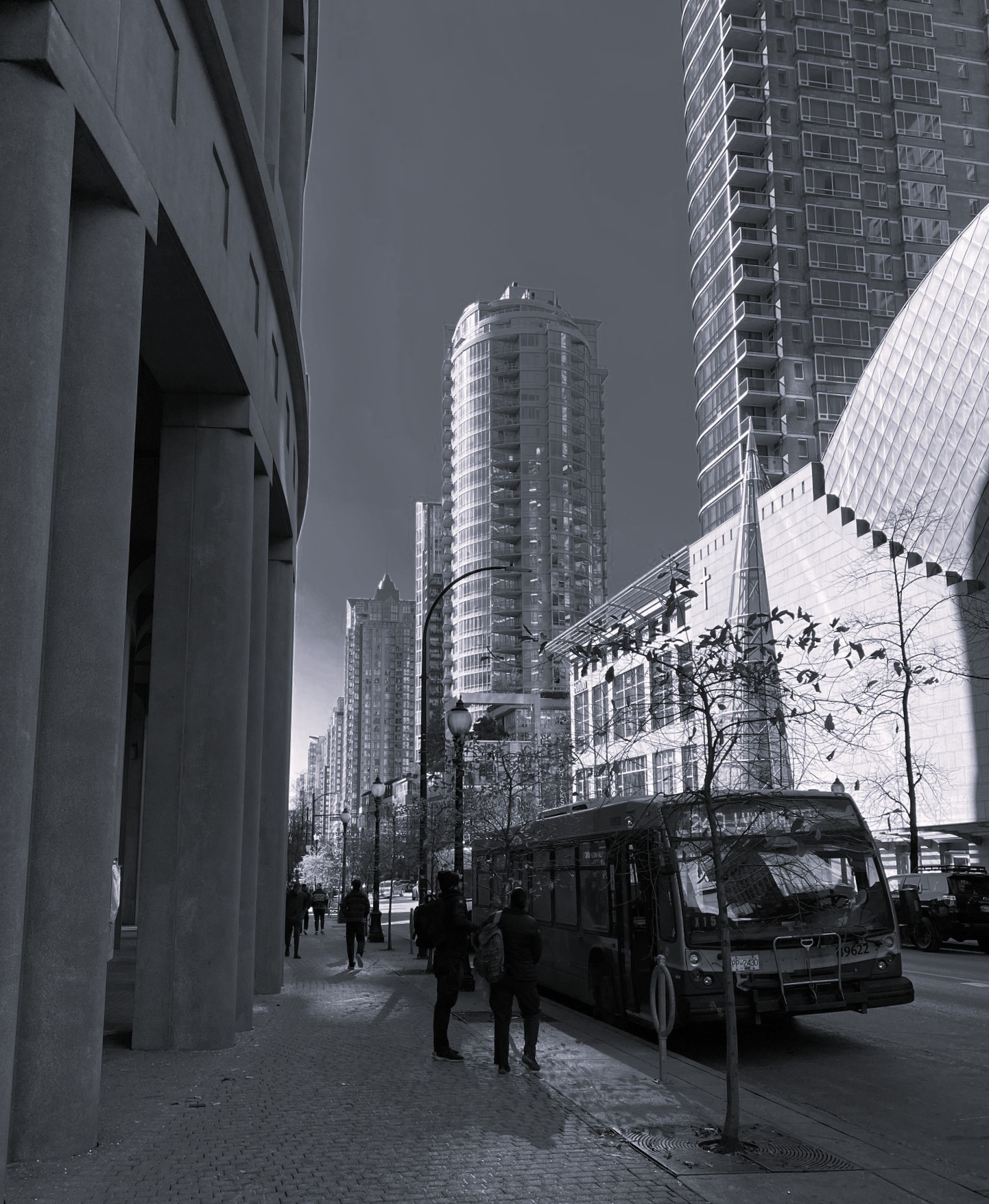
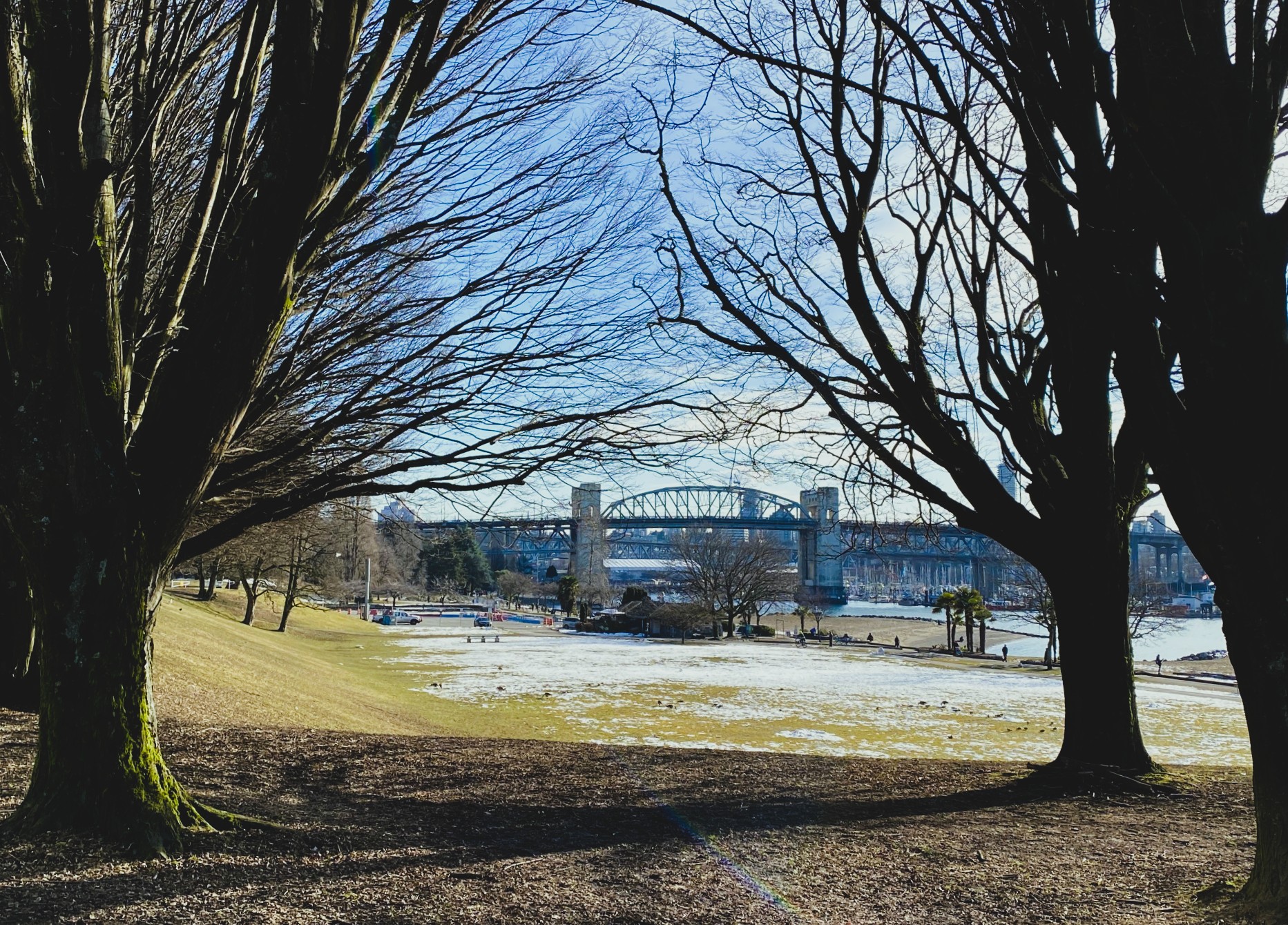
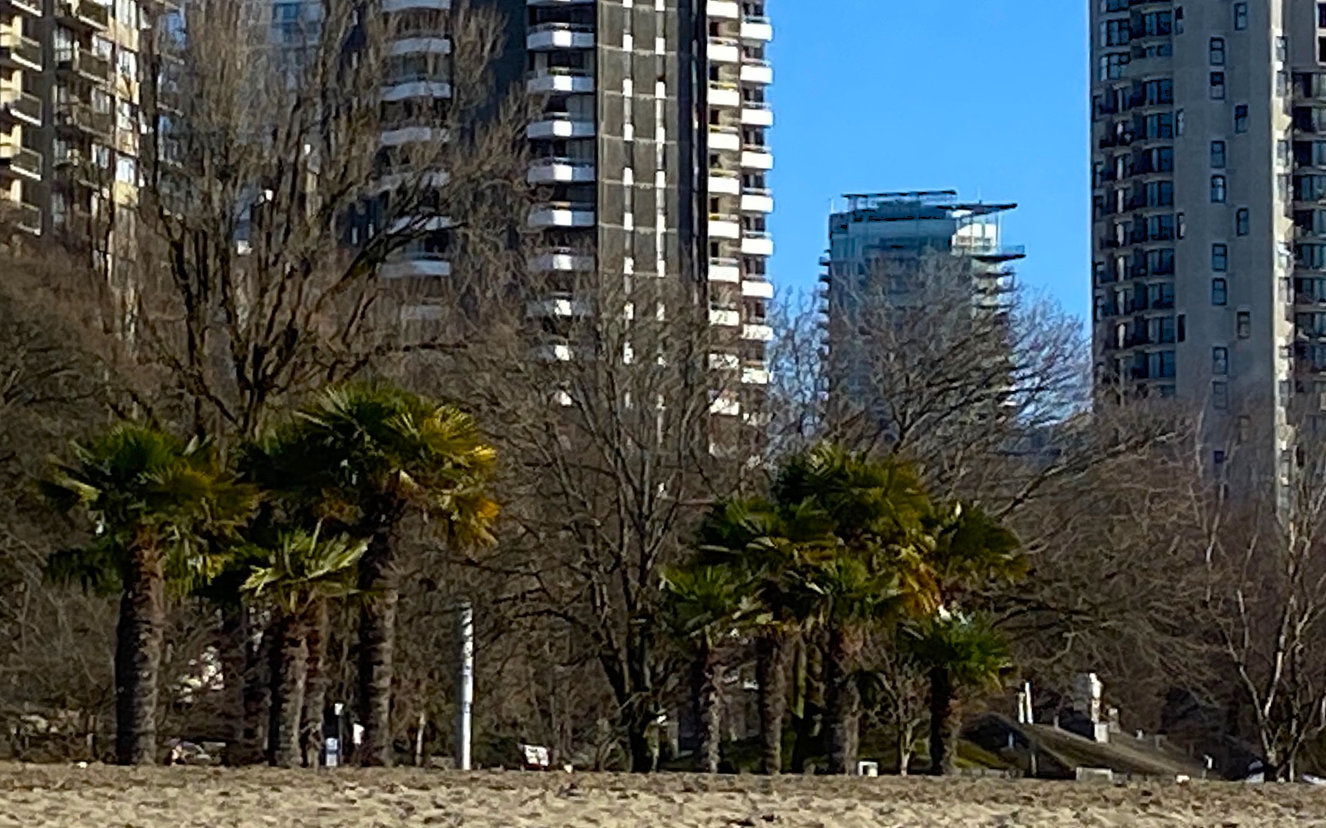
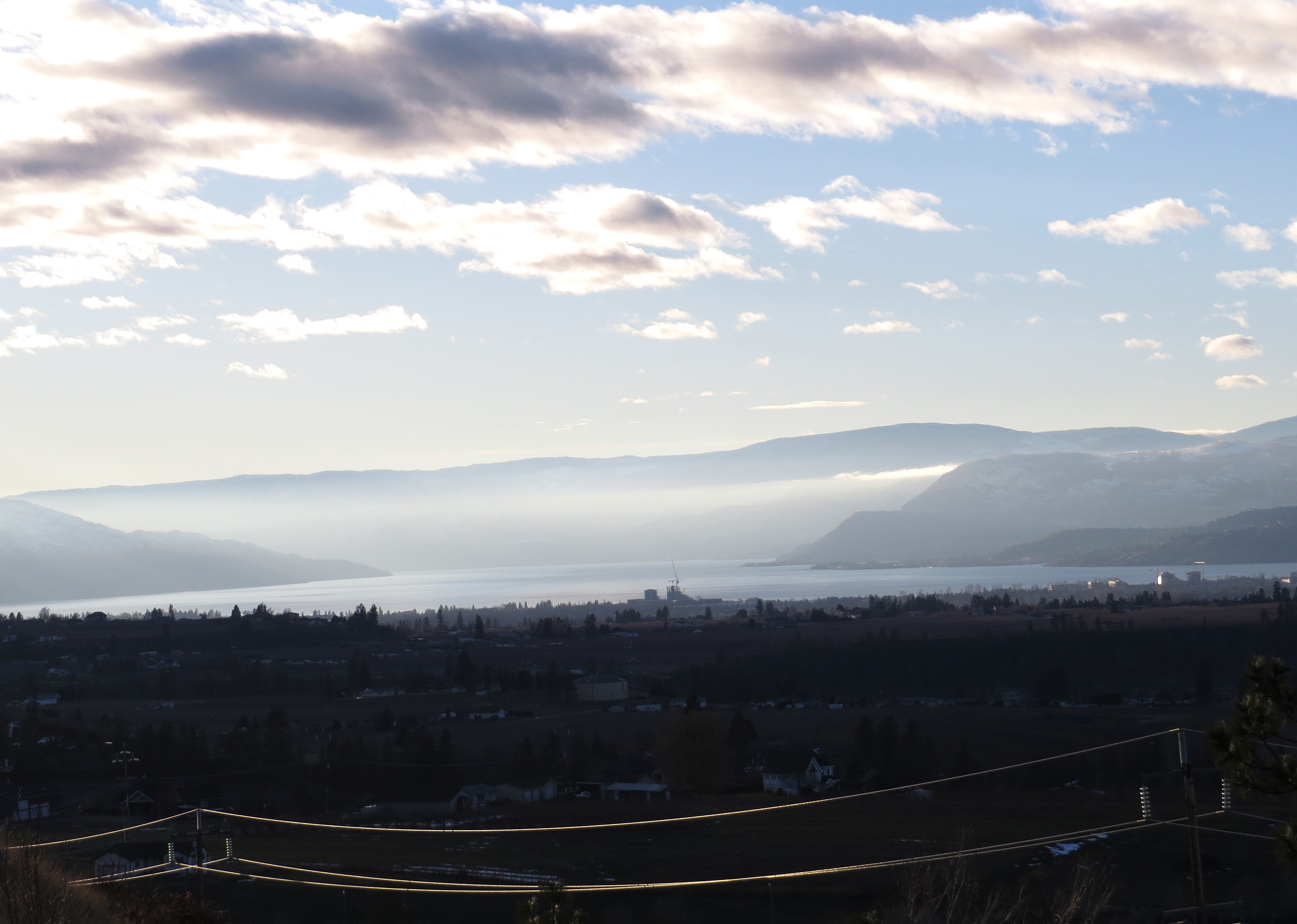
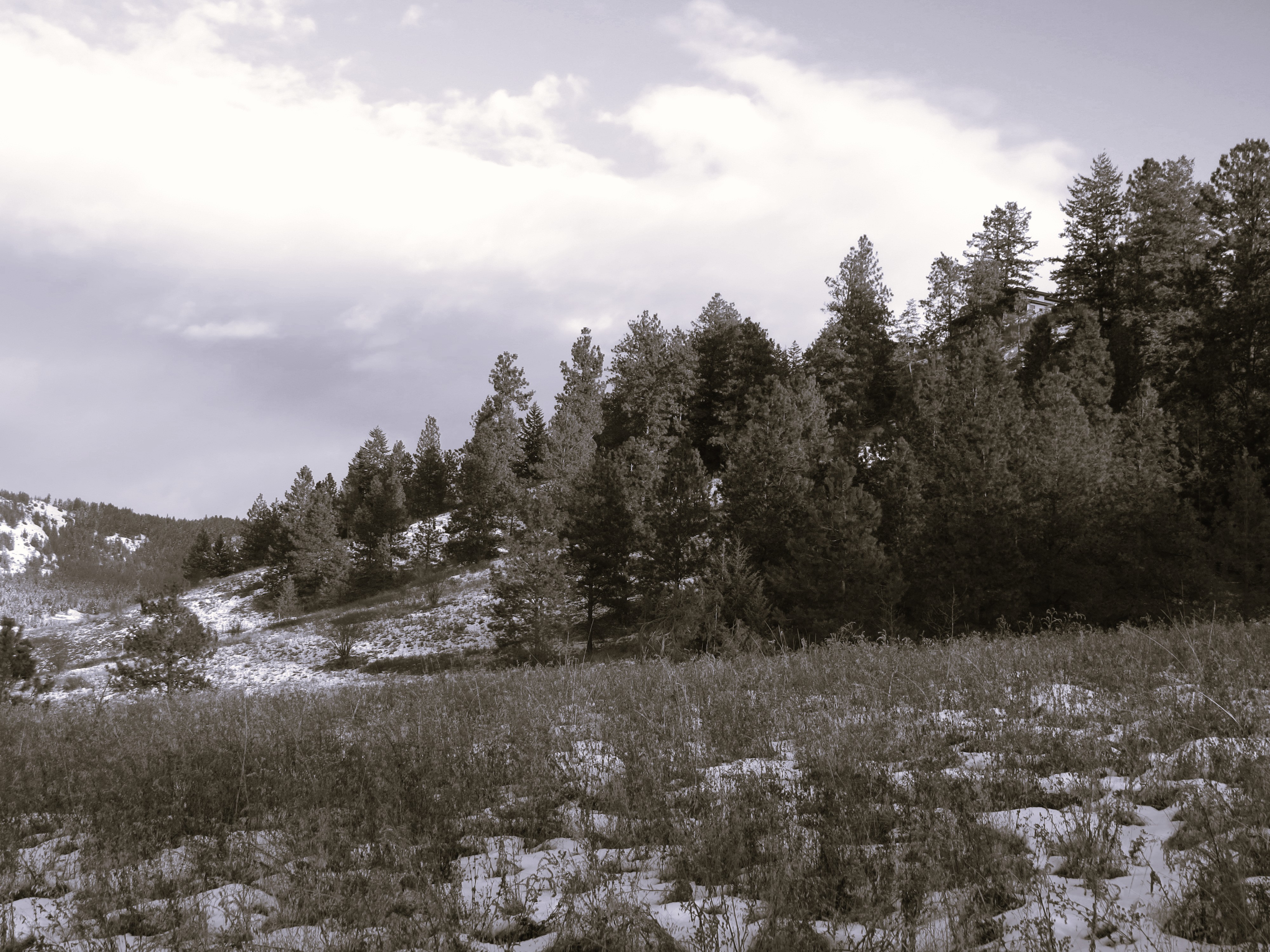
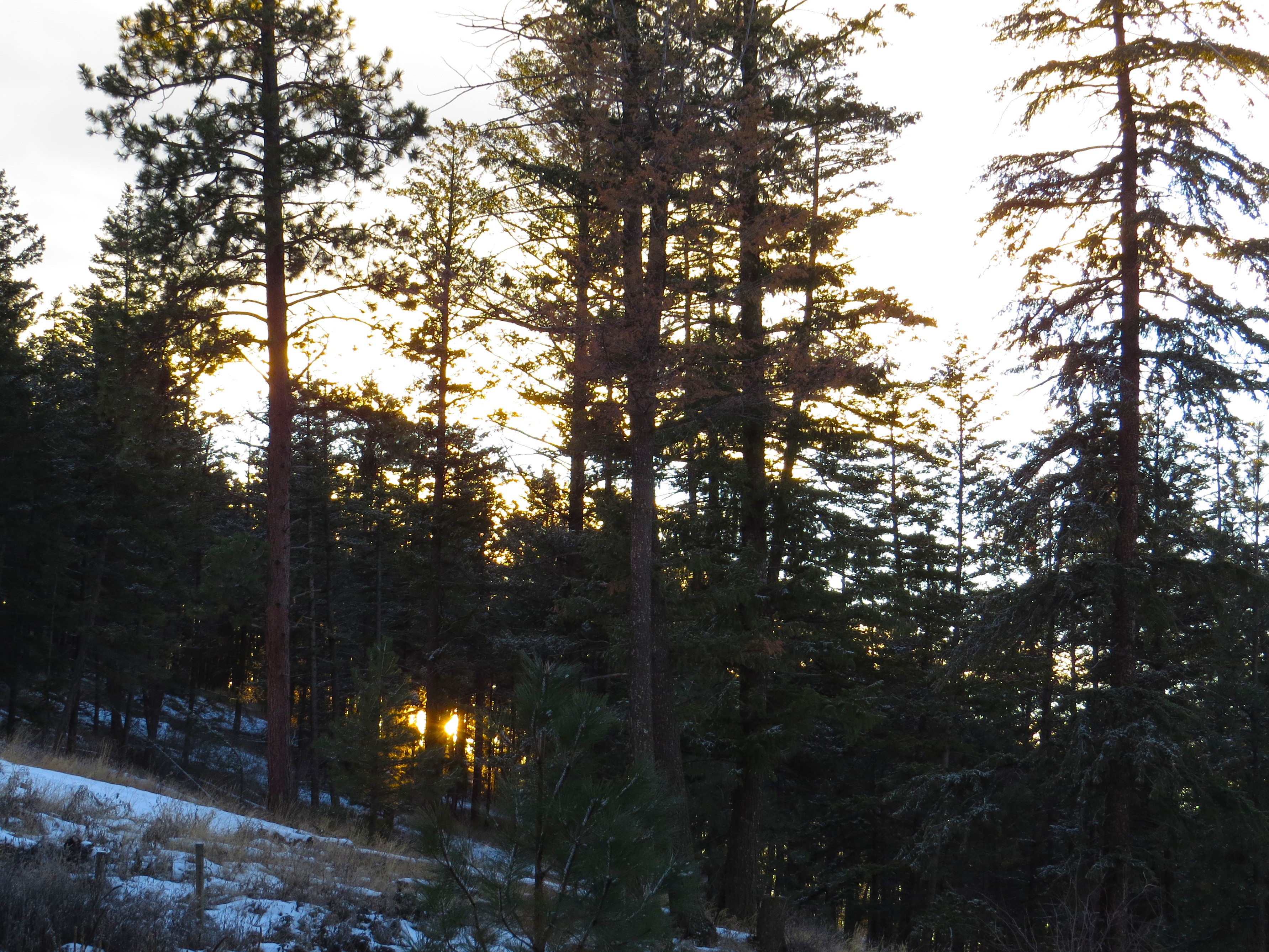
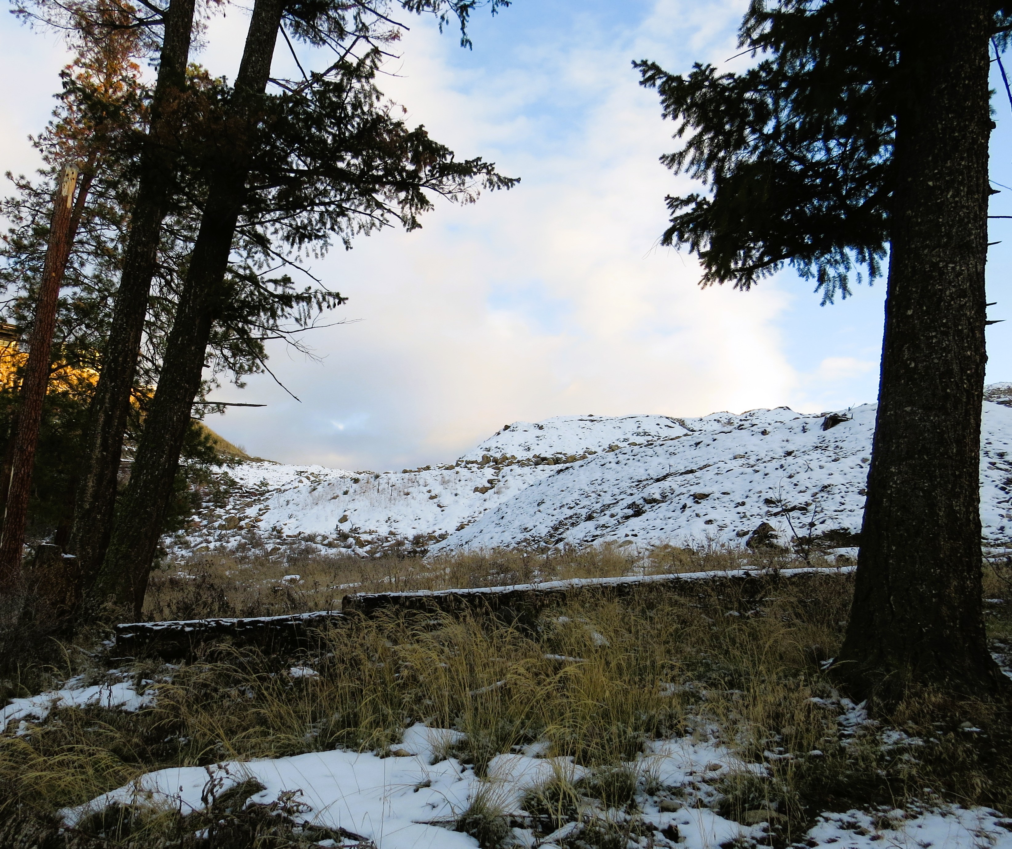
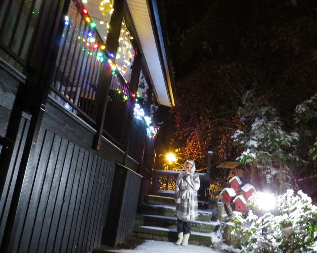
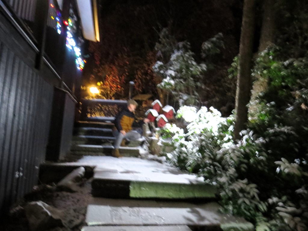
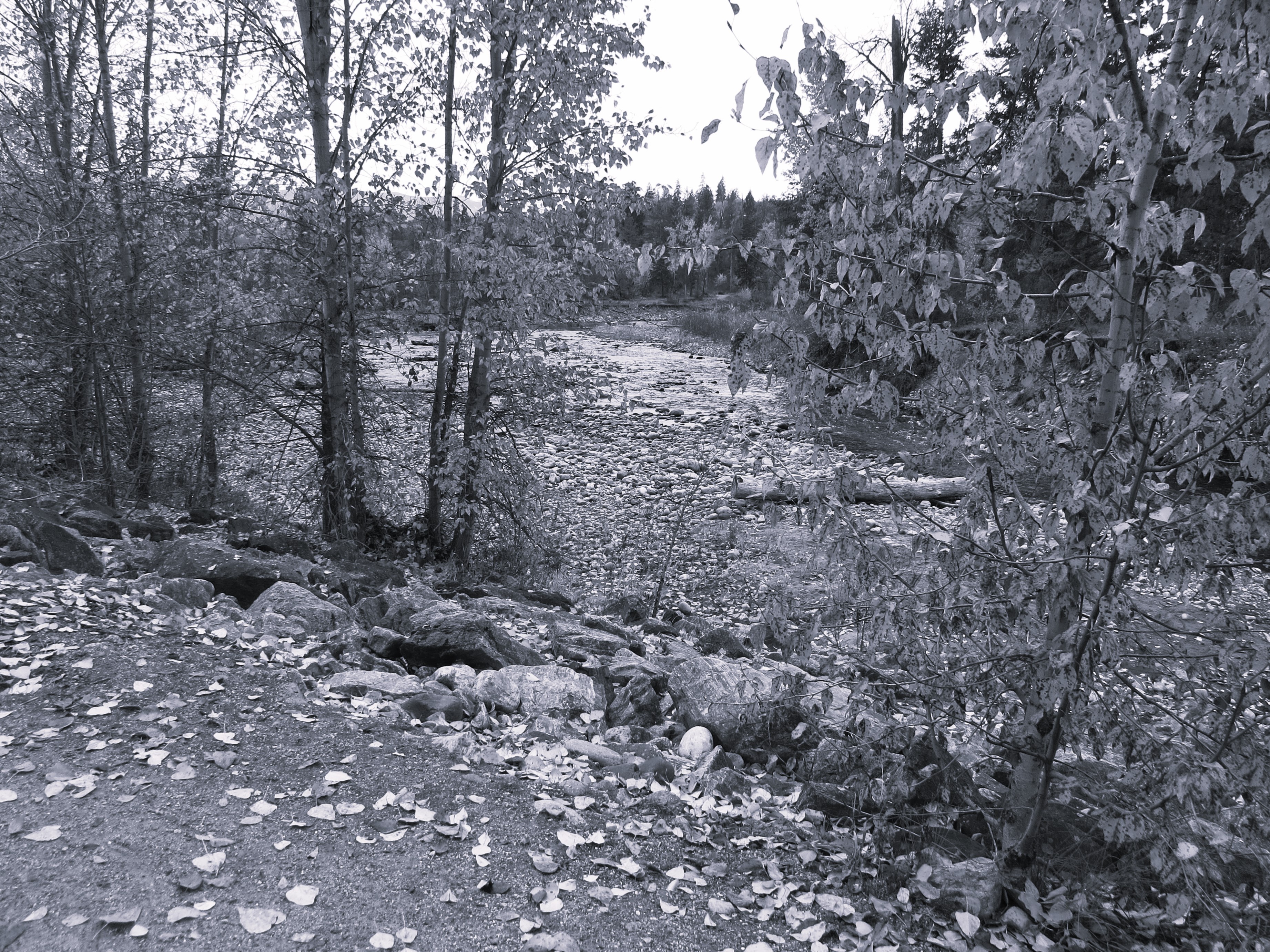
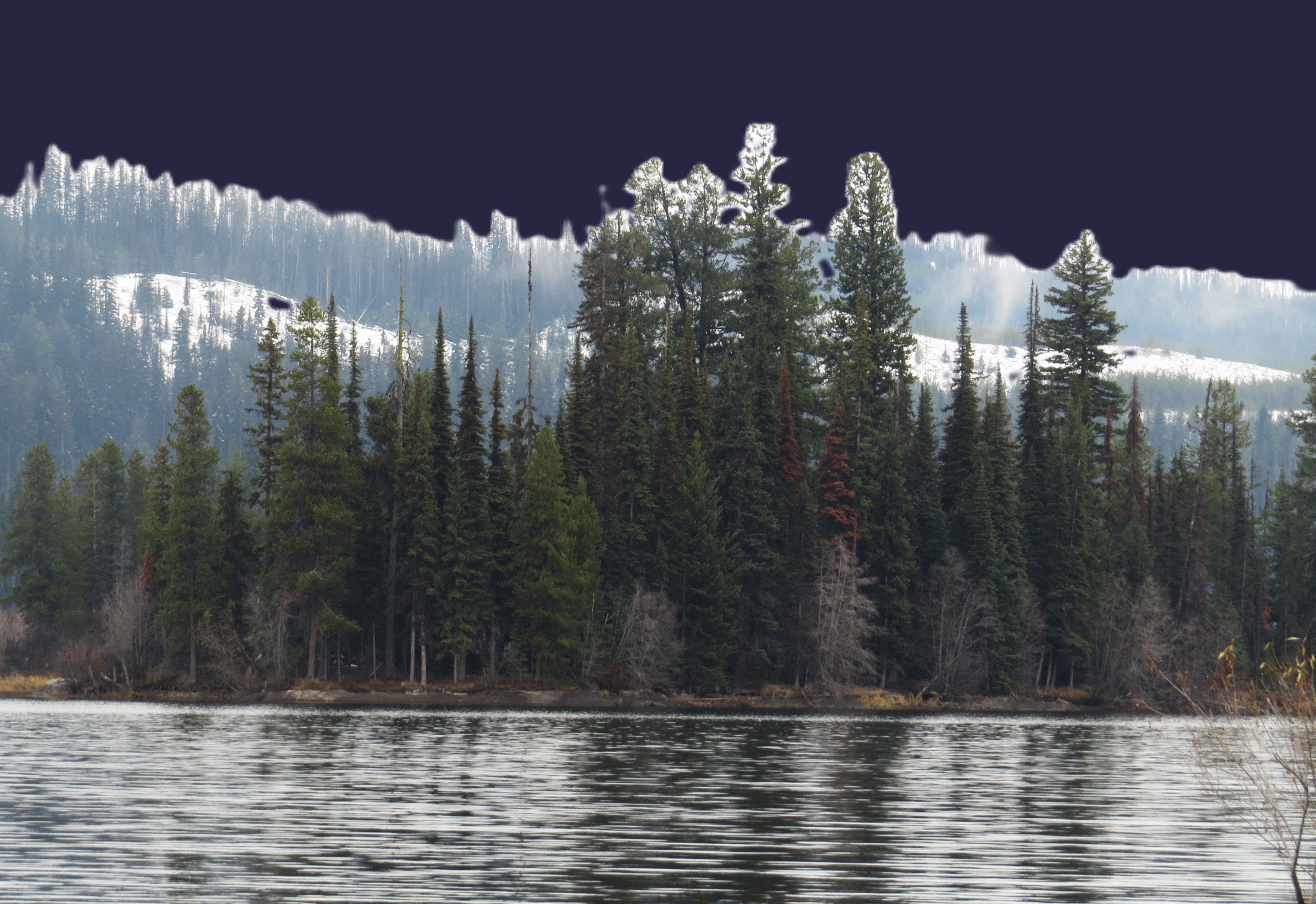
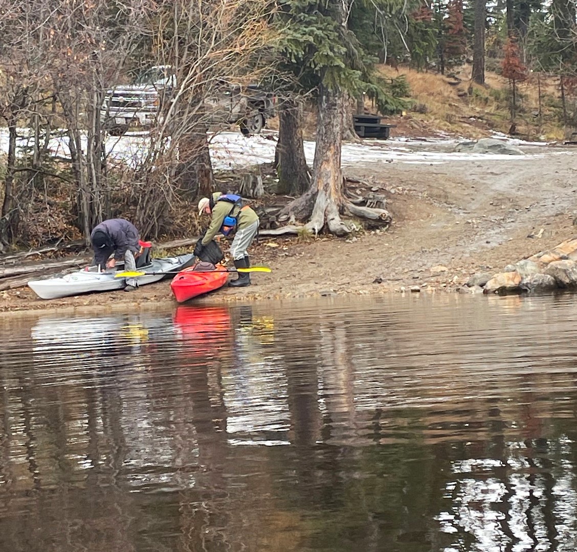
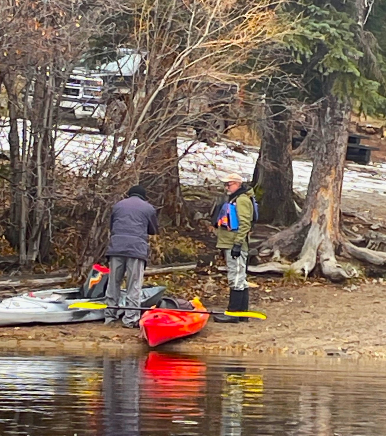
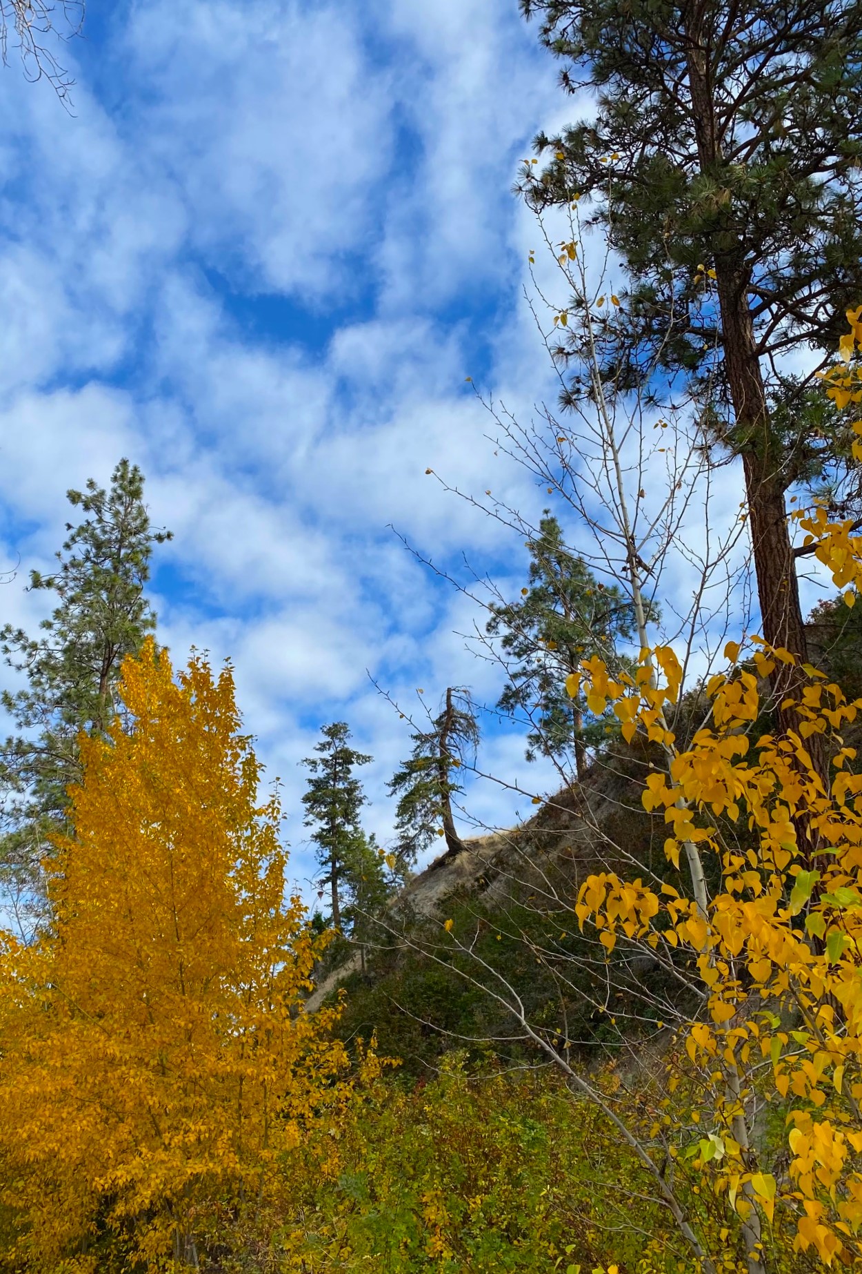
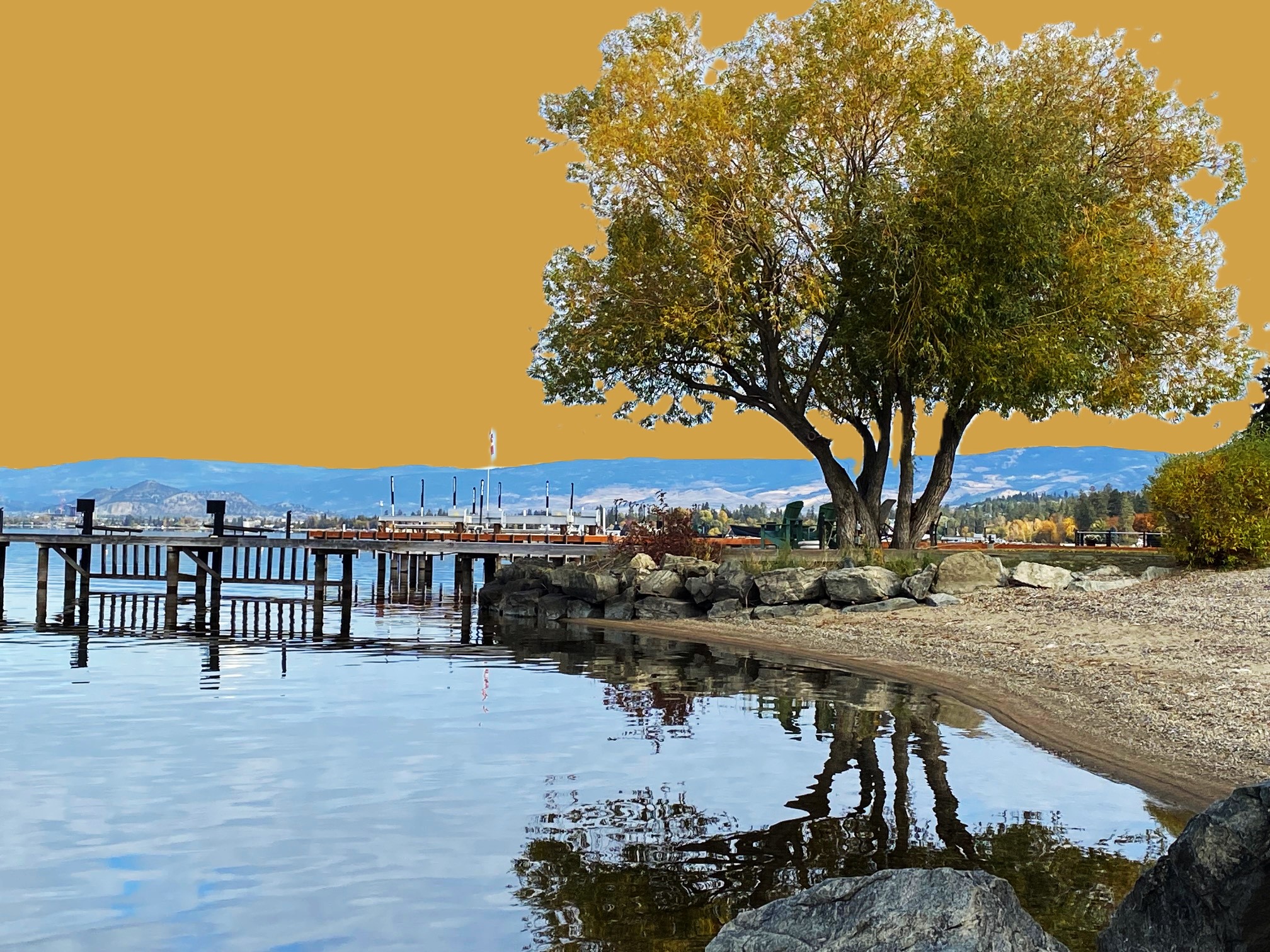
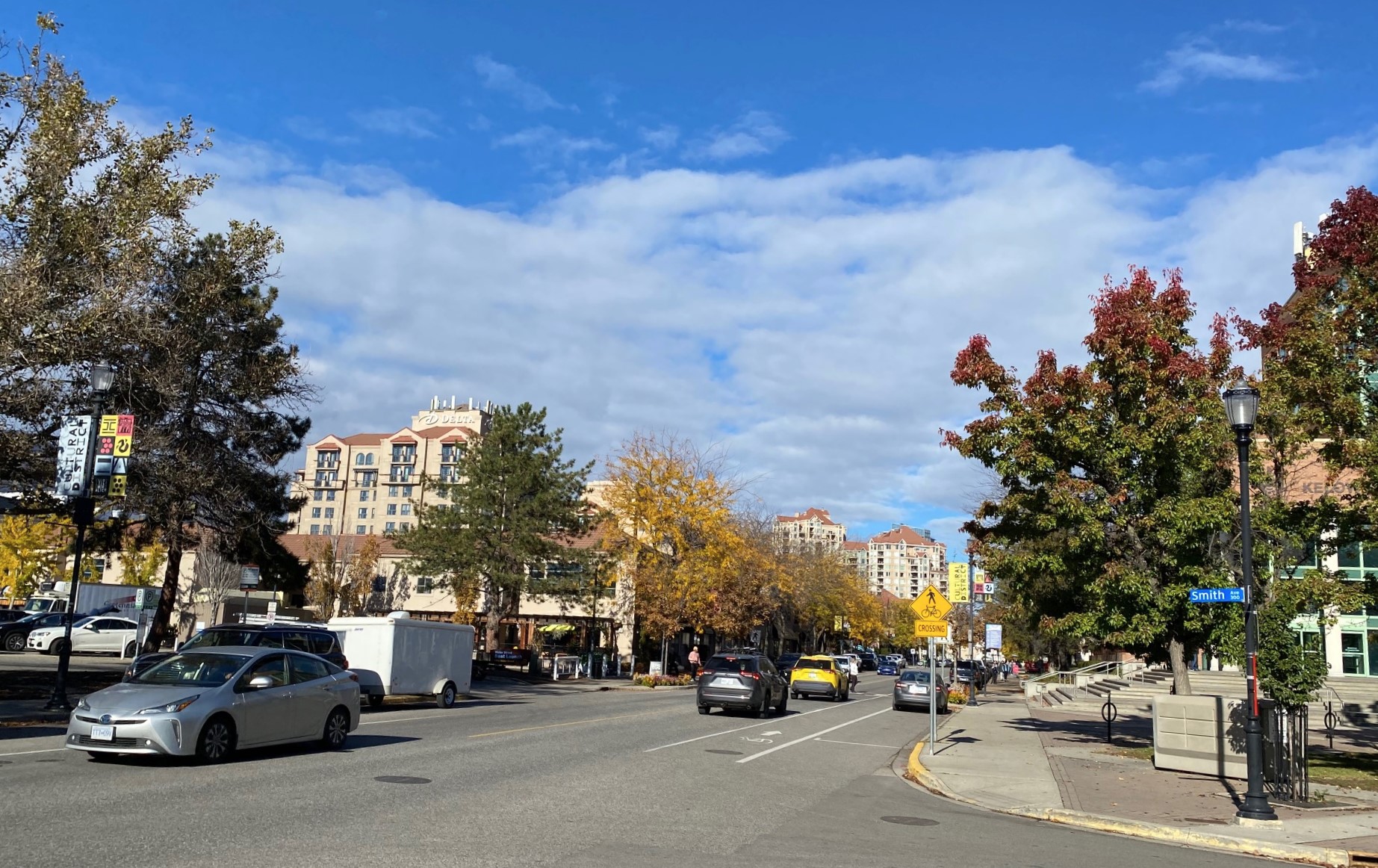
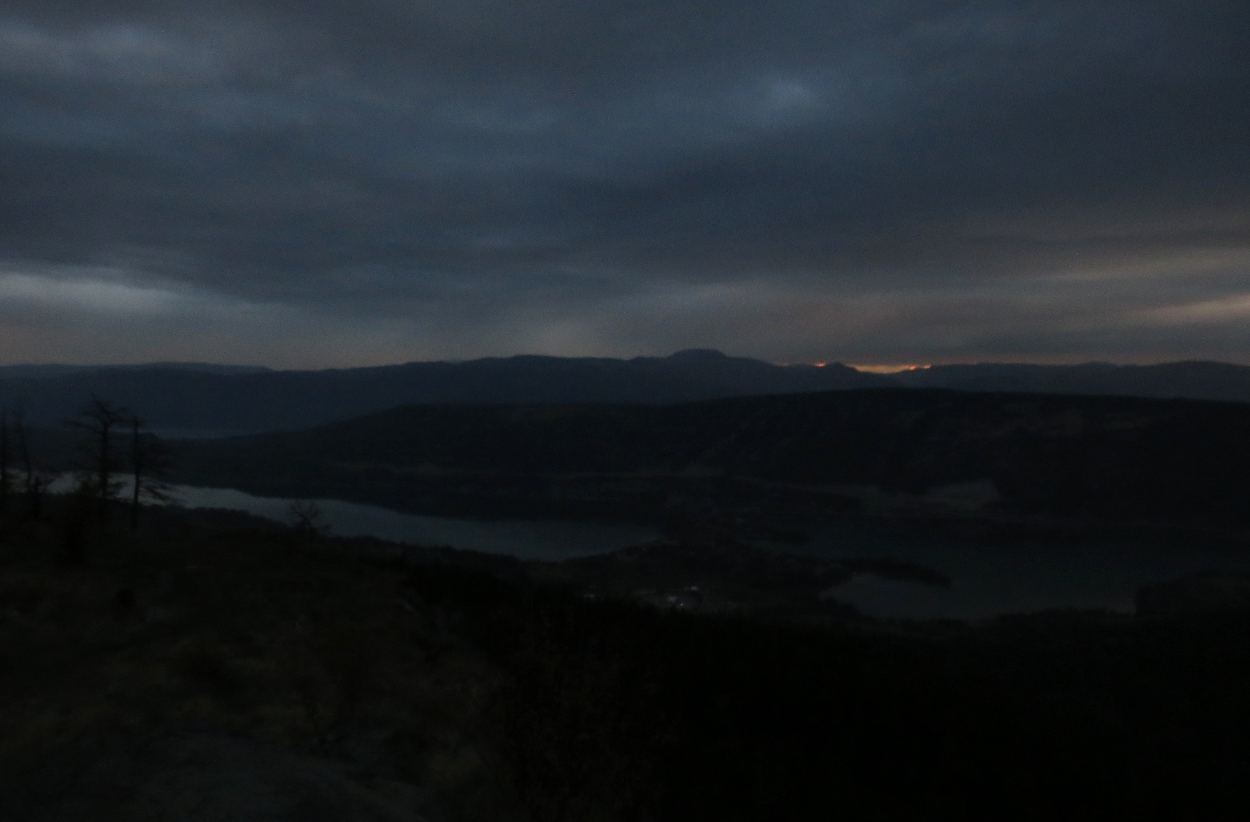
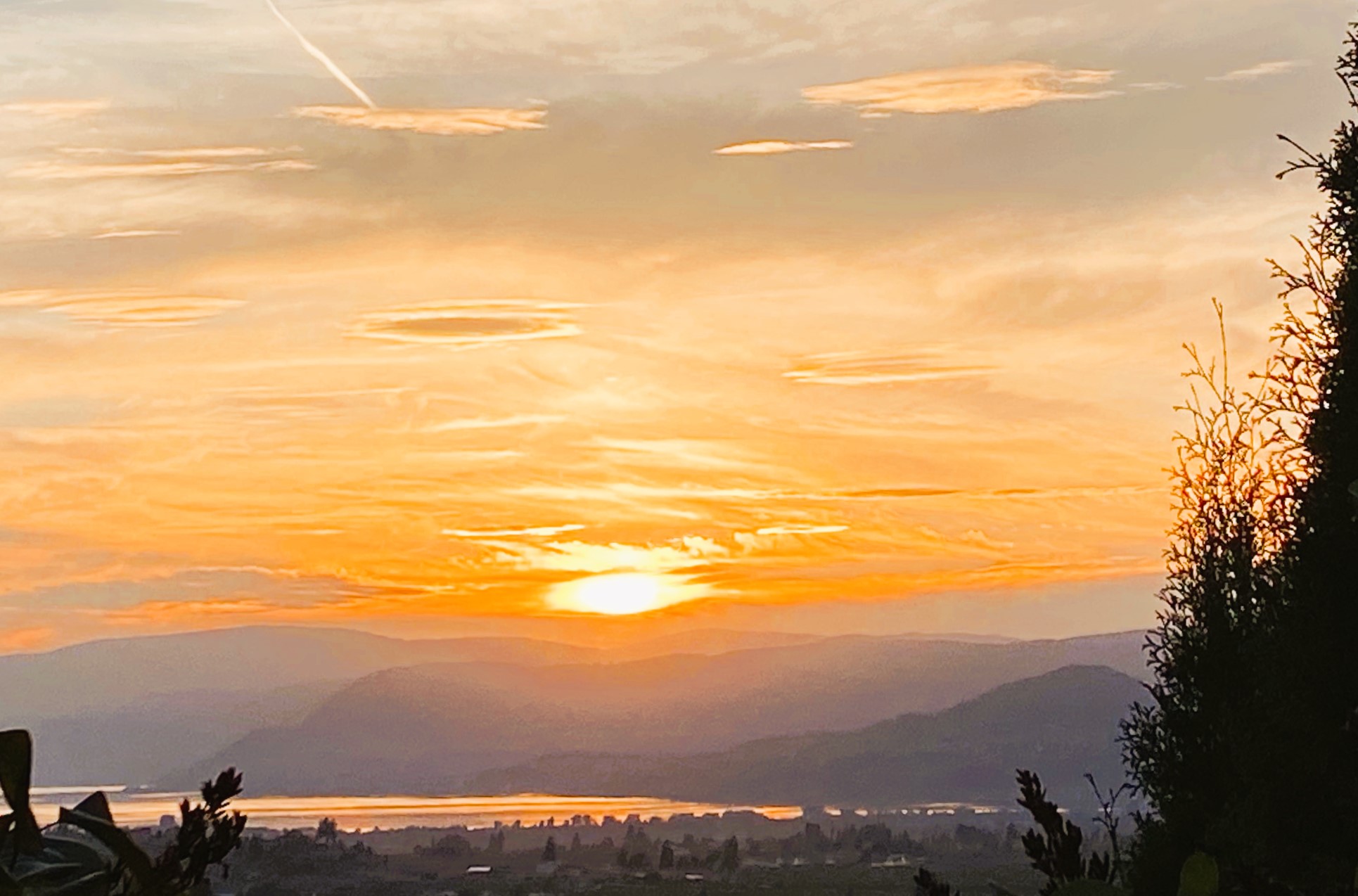
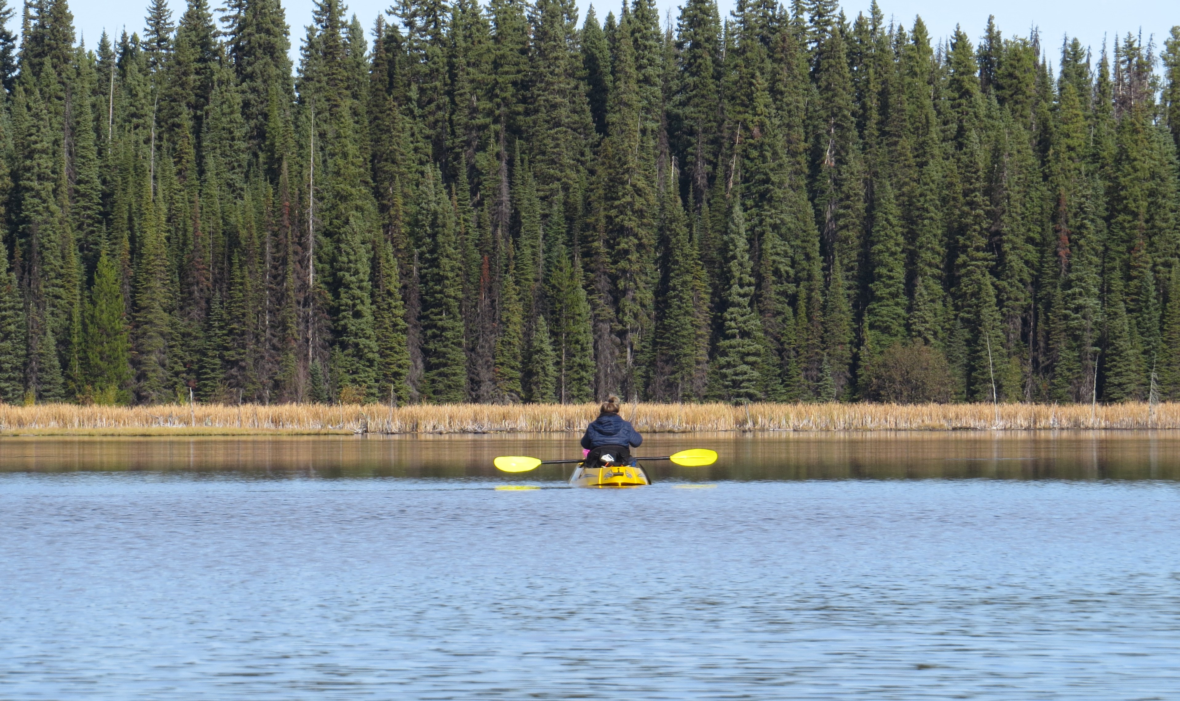
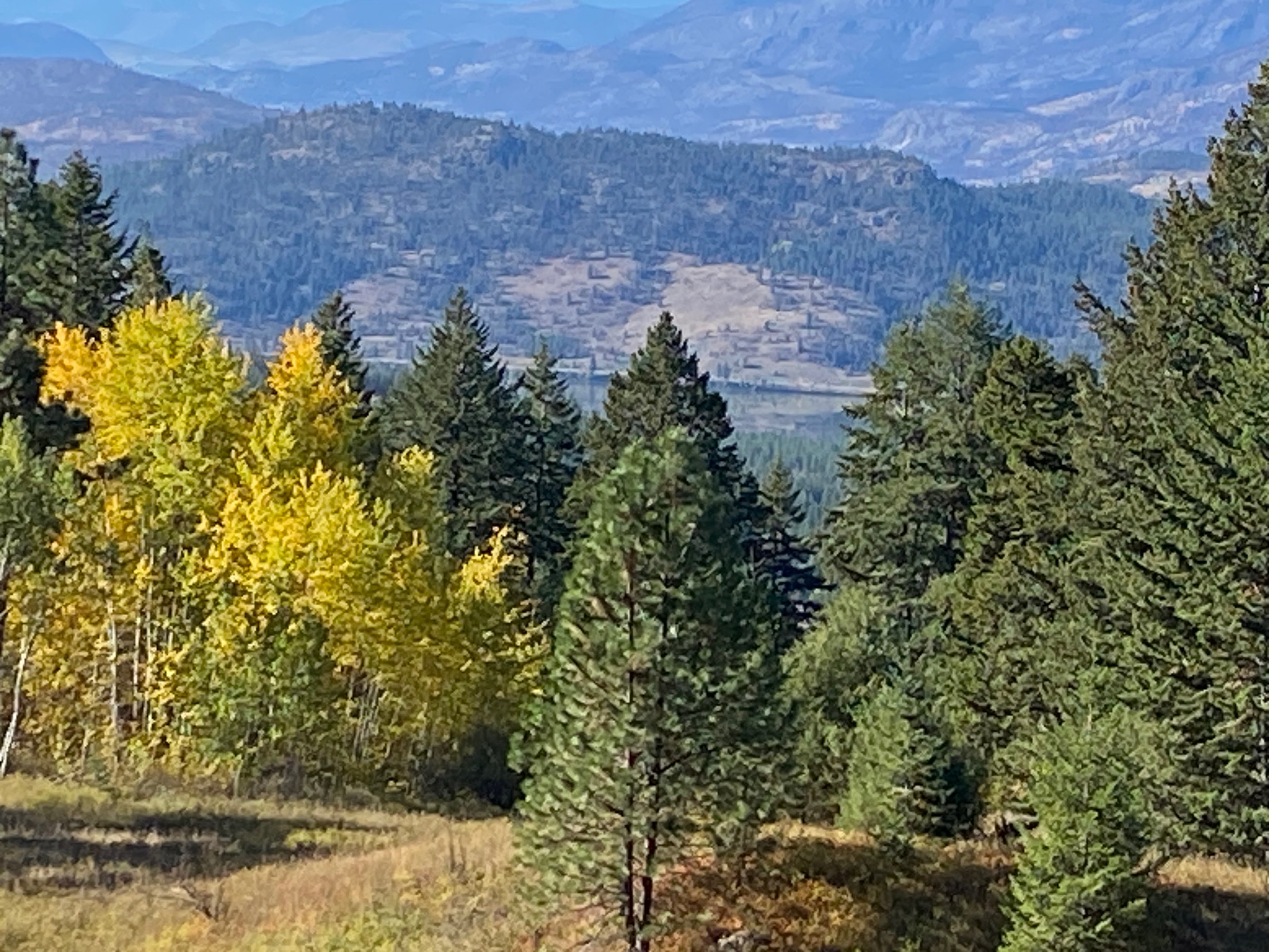
Byłem tu wielokrotnie poczynając od połowy lat 80. ub. wieku, kiedy przyleciałem tu samolotem z Calgary na narty do resortu Black Mountain. Od l994 dość regularnie dojeżdżałem tu z Vancouveru. Obecna wizyta jest pierwsza od 2018 i zmiany są olbrzymie. Poza bardzo nielicznymi miejscami w Centrum – miasto uległo olbrzymim przeobrażeniom: w Centrum i bliskich dzielnicach gęstość zaludnienia, wieżowce kompletnie zmieniły jego charakter i widok. Musiałem się na nowo uczyć po tym centrum chodzić, bo poza ścisłym Nadbrzeżem – wszystko uległo zmianie. Zdjęcia poniżej właśnie z tego miejsca, a te powyżej to widok ze Wzgórz Toovie.

(in English)

In fact pictures here (except for the top showing showing entire city, as seen from Toovie Hills) are only from Downtown, historic center of Kelowna. It was established as a city in 1905 with 600 hundred inhabitants. Prior to that this land was inhabited for close to 10 000 years the the nations of Silix people (called also Okinagan people). Today’s Kelowna has undergone a major expansion and architectural face-lift in the last ten years. It hardly resembles a city I used to visit often a decade ago or so. High-rises and multitude of hotels, restaurants, vibrant cultural zone – changed the Downton core definitively. Here are some of the vistas.

Kayaking on Oyama Lake – kajakiem przez jez. Oyama

Kayaking on Oyama Lake – kajakiem przez jez. Oyama

(English) Traveling from Kelowna toward Vernon you will pass two wonderful lakes connected by a bridge: Kalamalka and Wood. Despite the fact that both of them are almost connected (at high water they definitely are) – both own a distinct and different hue. Years ago, on my visits to Kelowna, I used to swim in Kalamalka. If you go across that little bridge separating these lakes and turn left going up a gravel road full of turns and potholes – you would eventually end up on the shores of hidden gem – Oyama.

For kayakers and boaters it is truly wonderful experience, dotted with numerous little islands – some with easy access by kayak – there you can have a lunch or dinner as some have a firepits. Please be very mindful, though – in this type of total wilderness and remoteness fire could be a catastrophe of unthinkable consequences. From Oyama Lake I strongly recommend paddling to the left through an amazing channel covered with lilies, reed and acorus. That path offers amazing solitude and meandering for long time through narrow water channels. Eventualy you will enter anoter lake – Streak.

(Polish) W Kolumbii Brytyjskiej jadąc szosą 97 na wschód od Kelowny dojedziesz do dwóch bardzo charakterystycznych jezior: Kalamalka i Wood. Nie ma wątpliwości, że kiedyś był to jeden obszar wodny a i dziś w sezonach wyjątkowo deszczowych (co nie jest tu częste) jeziora się łączą starym kanałem. Mimo to, patrząc na nie ze wzgórz jedno ma charakterystyczny kolor zielonkawy a drugie zdecydowane stalowo-szary. Jakie są tego powody geologiczno-morfologiczne nie mam pojęcia, ale jakieś być muszą. Obecnie dzieli je mały mostek-grobla. Przejeżdżając ten mostek i skręcając ostro w górę na prawo od mostku wjeżdżasz w świat dziki i piękny. Bita, wąska i pełna wybojów droga zaprowadzi cię do klejnotu natury – jeziora Oyama z dziesiątkami mniejszych i większych wysp, a dla wioślarzy raj długiego, meandrującego pośród wodnych lilii i trzcin kanału. Ten wielokilometrowy kanał doprowadzi cię do jeziora Streak. Kanałem należy wiosłować ostrożnie by nie wbić się w błotnisty brzeg lub nie nadziać za szybko na zapadłe po wodą konary i pnie zatopionych drzew. Wszystko to jednak warte wrażeń widokowych. Wracając zatrzymaliśmy się na jednej z większych wysp na Oyamie i na istniejącym już palenisku zrobiliśmy wyśmienity lunch/obiad. Po prawdzie ‘zrobiliśmy’ to eufemizm, bo zrobił przyjaciel mojej kuzynki, Mike. Nie zabrakło kiełbasek na patyku ale były i krewetki, i cudownie przygotowana w grubych plastrach lekko zarumieniona cebula, duszone plsterki kartofelków. No i coś do popicia, naturalnie. Nie, nie była to woda jeziorna, LOL.

Kayaking on chain of lakes in wilderness above Okanagan Valley – kajakiem przez jeziora w puszczy wysoko ponad doliną Okanagan

Kayaking on chain of lakes in wilderness above Okanagan Valley – kajakiem przez jeziora w puszczy wysoko ponad doliną Okanagan

Ze wschodniego końca Kelowny wyjeżdżamy w utwardzoną szosę Beaver Lake. Jadąc bez przerwy w górę mijamy malownicze pastwiska dla ranczerów dla ich bydła. Krówki i byczki spacerują leniwie lub po prostu leżą w słońcu. W dole rozległy widok na miasto i jezioro Okanagan. Kolory jesieni przepyszne. Co jakiś czas droga przecięta jest tzw. Texas Gate, czy li metalowymi rurami, które mają uniemożliwiać bydlęciu przechodzeniu na inne pastwiska lub w lasy. Nie zawsze się to widac udaje, bo wjeżdżając w te lasy spotkaliśmy kilka krówek spacerujących po obrzeżach kręcącej sie drogi. Teraz już tylko lasami do ośrodka nad jeziorem Dee, gdzie wynajmujemy drewniana daczę i odnosimy kajaki na brzeg. Od Dee naturalne wodne kanały łącza nas do kolejnych jezior: jeziora Island (faktycznie ma wyspę na środku), następnie Deer Lake, Crooked Lake – przy Crooked Lake robimy pełny lunch na naturalnej tamie-grobli, która oddziela go od jeziora Bobra (Beaver Lake). Zbieramy też troche maślaków które rosną na obrzeżach puszczy. Po lunchu powrót tymi samymi jeziorami do jeziora Dee i naszego noclegu. Inny świat wokół – rozległe puszcze, pełna cisza, ryby skaczące przy brzegu. Wielogodzinne wiosłowanie przy takiej pogodzie to przyjemność ogromna.

Zdjęcia poniżej własne i mojej kuzynki Luli (która w naszej daczy z tych maślaczków zrobiła świetne danie, a potem smażyliśmy kiełbaski na patykach nad ogniskiem).