Summer, summer … it’s time to slowly close the season of fun on the Eastern Coast of Nova Scotia

Summer, summer … it’s time to slowly close the season of fun on the Eastern Coast of Nova Scotia

Everything good must come to an end. Summer is receding from the trails and beaches of Nova Scotia. So is my presence in that province of Canada. Time to pack my beach chair … and pack my belongings after six years. For a small province that’s a long time to travel to places known and places less travelled. By now, my Dear Reader you probably know much more about this land from where the entire hemisphere sprang to life under new overlord – the Europeans. But people come and go – the land remains. And the old inhabitants from ancien time remain too – the Lnu People, of which novascotian native Mi’kmaq people are part.

My last hot and sunny day playing among the waves of North Atlantic was on Lawrencetown beach. Place I have visited over the years more than I can remember. After that I went for one more quick swim at Canada’s Ocean Playground beach by Gaetz Lake. And lovely walk to a Wildlife Sanctuary that shows tremendous affection to all kind of native creatures, who suffered some serious problems and can’t survived on it’s own. Such a tranquil place.
In a few days time I will be driving through the entire continent, traversing the same route and highways me and my John took six years ago. Back to where we begun that journey – to British Columbia. Although He can’t be with me physically – His love and spirit will. We will have lots of time to reminiscence the almost forty years of an amazing life journey. The most beautiful Journey of my life.

Next pictures from Canada’s Ocean Playground and Wildlife Sanctuary.

Clam Bay Beach (cz.2)

Clam Bay Beach (cz.2)

Około dwa miesiące temu[i] opisywałem tu wspaniałą plażę na wschodnim wybrzeżu Nowej Szkocji. Plaża Zatoki Muszli. Zwłaszcza dwóch charakterystycznych rodzajów: popularnej omułki i rogowca. Omułka to naturalnie małż, a rogowiec to właśnie muszla clam. Omułki są podłużne, wewnątrz perłowo-niebieskie, mieniące się, zaś clam bardziej okrągły, w odcieniach szaro-białych.

Woda wówczas była lodowato zimna i bajecznie piękna, szeroka piaskowa plaża świeciła pustkami.  Prócz mnie żywy duch się na kąpiel nie odważył. Myślałem, że nie tyle temperatura wody (bo dzień był jednak słoneczny i ciepły) ile odległość plaży od większych miast i dość skomplikowany i długi dojazd bocznymi drogami odbijającymi w dół od głównej szosy był tą przyczyną pustki.

Kilka dni temu pojechałem tam ponownie sierpniową porą. A w sierpniu wody Atlantyku przy Nowej Szkocji są cieple przez silne prądy po-huraganowe na Karaibach. I jednak widać ta temperartura wody chyba zadecydowała. No i szkolne wakacje. Na szerokim polu parkingowym ledwie miejsce znaleźć mogłem. A na plaży – ludzi jak mrówków, LOL. Ale plaża kilometrowa, bez końca. Miejsca i na piasku i wodzie nie zabrakło.

I jedno jeszcze spostrzeżenie bardzo miłe: naturalnie jestem teraz sam i moje wycieczki od dwóch lat są też wycieczkami samotnymi. Zabieram zawsze plecak, składane krzesło plażowe i drogą kamerę z dużym stojakiem. Jedyne co zostawiam w samochodzie to dokumenty. Nie wiem czemu z przyzwyczajenia biorę ze sobą też swój Iphone. Pływać z plecakiem i kamerą trudno (z telephonem też). Więc wszystko tak zostaje na tym krześle, a oparte o nie stoi ta kamera na trójnogu. Czasem te pływanie jest długie, bo uwielbiam targać się z tymi grzywaczami wodnymi.  Nie wiem, czasu nie liczę, ale też nigdy się nie śpieszę. I nigdy się mi nie zdarzyło ani na plaży zapełnionej ani pustawej, by mi cokolwiek zginęło. Nie tylko tej, na wszystkich plażach. Ot, taka sympatyczna ciekawostka tutejszych plaż.

A teraz kilka zdjęć z tej właśnie Clam Bay Beach późnym latem. Już nie pustej.


[i] Clam Bay Beach – north of Jedorre – na Wschodnim Wybrzeżu Nowej Szkocji – Pogwarki (kanadyjskimonitor.blog)

Natural Gardens in Truro’s Bible Hill, Nova Scotia – Dalhousie University

Natural Gardens in Truro’s Bible Hill, Nova Scotia – Dalhousie University

Some time, on this pages, I have published a piece about the history of the oldest University in North America, Kings College in Halifax. Kings College eventually become part of one of the largest university in Canada, the grandiose Dalhousie University of Nova Scotia. I have eventually, on this blog, published a photo series of the university.

The massive complex of Dalhousie stretches through many blocks of the city. It brings life and vibrancy to the city’s core and creates many mini-communities of students and faculty. Encompasses the past and the future. Is integral part of it’s life, atmosphere and pulse. Gave me many pleasurable strolls, moments of reading an interesting book of poetry or novel, writing in my own notebooks my poems or musings on many subjects. University campuses do that to you, LOL. And I love it.

But I have always heard of a special, far away campus of Dalhousie. The entire Faculty of Agriculture. It sits somewhere in a community called Bible Hill, part of larger city of Truro. I have past Truro countless amount of times. It sits right on both sides of meeting of two major highways connecting Nova Scotia to the West of Canada and to the South on Nova Scotia. But what you see, when you are passing the city on highways is hardly and appealing site. The ugly big magazines, some big malls. Sort of ugly site of North America with ever sprawling ugly malls without any character or architectural originality.

Yet, I have heard many times of that Bible Hill campus. As I will be soon leaving this province, I had to visit it. Additional emotional reason was also the fact, that a dear friend of my husband and through him mine – was borne in that city, went to school there. But left it many years ago moving to the West (Calgary and Vancouver) and never seen the campus that was built little way out of the main city. So I did and hope that she will appreciate it.

It is a site to behold. Many red brick old university buildings, spread through a large swath of land. No wonder – it’s laboratories are in the fields, in the valley. We are talking of agriculture and botany. Living university. I am so glad that I did.

In no particular order here is the view of this wonderful campus.

Link to a post abut the Dalhousie University main campus in Halifax, click below on it: https://kanadyjskimonitor.blog/2023/10/13/a-history-and-future-youth-and-tradition-dalhousie-university-in-halifax/

Crystal Crescent Provincial Park in Nova Scotia

Crystal Crescent Provincial Park in Nova Scotia

Children are amazing people! Throngs of beachgoers are squeezed next to ech other on the sandy beach – but a child knows better: what could be more magic than playing in a mud in little stream rushing toward the ocean? Child imagination dwarfs imagination of an adult.

On the way to the rocky trail, pass the beaches and people I had a small secret meadow full of wild strawberries and blueberries. If it was in season I would go there and John would wait on the trail till I come back with both fists full the sweetness of the berries and empty them into his mouth. He pretended to be offended by it … but ate them, LOL. We had to make sure that there was no one approaching on the trail. Heaven’s forbid someone would see him eating fresh fruits and from someone’s hands! He like it, though. Maybe not as much the fruits (John wasn’t really an aficionado of fresh fruits) as the fact that he can make me smile and be happy. Our little idiosyncrasies. Next on the trail was a tiny nudist beach. No, I knew better – didn’t even ask him to stop and go for swim before the hike. Naked in public, beach or no beach?! That would be the end of the walk and the trail, no question asked. I knew what I can ask him of, and what I should not. Idiosyncrasies is one thing and disrespect is another. The true trail started right past that beach. Narrow and easily lost, covered with rocks and roots, often very wet and muddy from numerous tiny creeks rushing toward the ocean. Eventually you got to walkable huge slabs of rock and the amazing view of the majesty and power of the Atlantic. It truly is something to behold. We never went that far, as I venture sometimes, but far enough to absorb the atmosphere, the enormity of nature. And there, on these rocks, far enough from typical tourist or beachgoer, I would find a spot invisible to anyone, secluded … and have my way with the wild strawberries and blueberries off his lips!

Below, pictures from yesterday – poniżej zdjęcia z wczorajszej wędrówki

Widoczna na zdjęciu latarnia morska na wyspie Sambro, która jest ‘bramą’ to wejścia do portu Halifax jest najstarsza latarnią morską w Północnej Ameryce i do dziś operującą.

Pictures of the Sambro Island and the lighthouse remind us that it is the first lighthouse built in North Americas and it is still operational.

Bridgewater – the city and the river

Bridgewater – the city and the river

But before the British settled there, and before it become known by the name ‘Bridgewater’ it was an ancient large settlement of Mi’kmaq tribe for thousands of years. There is a rich collection of archeological artefacts attesting to their settlement at  the mouth of the large LaHav River.

In 1604 the French Governor of New France Pierre Dugua de Mons visited these lands and by the mid-1600 there was first small French settlement there.  In 1825 the first bridge was built and by 1850 the population grew to 300. At the end of XIX century the town had two railway connections – across the valley to Middletown and trains to Halifax. Easy access through the large and navigable river gave beginning of many industries, among which shipbuilding was a major force. It is probably a surprise to many, but the very first ship’s two-stroke engines were manufactured here and exported worldwide. It closed its operations in 1970.

Since the origins of the town, the western bank of the river was the heart and center of the city and so it remains. Most modern developments, shopping malls, concentrate on the east or left part of the city.

The historic town, its calling card, is the main King Street right along the banks of it’s beautiful river. It is connected by two bridges to the other side. Especially the old iron bridge is such a gem.

A walk on that long street is such a pleasure. It is like you are traveling back in time to a space where that time doesn’t travel so fast, doesn’t run in a hurry. Neither should you, if you ever visit.  

As an interesting tidbit – did you know that famous Hollywood and Canadian actor Donald Sutherland spent his formative teenage years and graduated from High School in Bridgewater?  

If I was going to stay permanently in Nova Scotia – I would love to move there. But I do suggest to Dear Reader – if you are visiting Nova Scotia, you absolutely must visit Bridgewater. You won’t regret it.

Kąpiel na plaży we Wschodnim Berlinie. Swimming in the ocean on East Berlin Beach.

Kąpiel na plaży we Wschodnim Berlinie. Swimming in the ocean on East Berlin Beach.

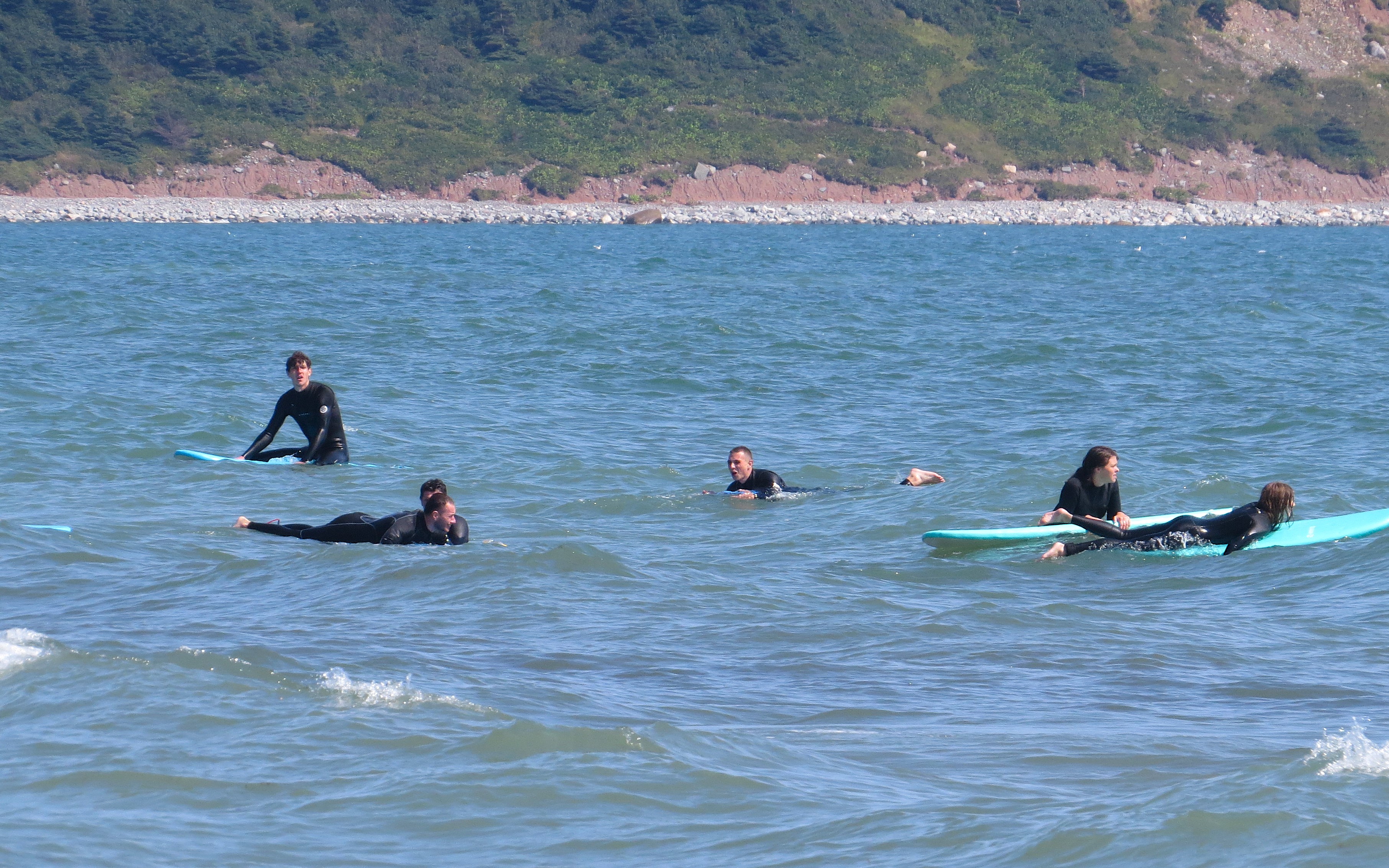
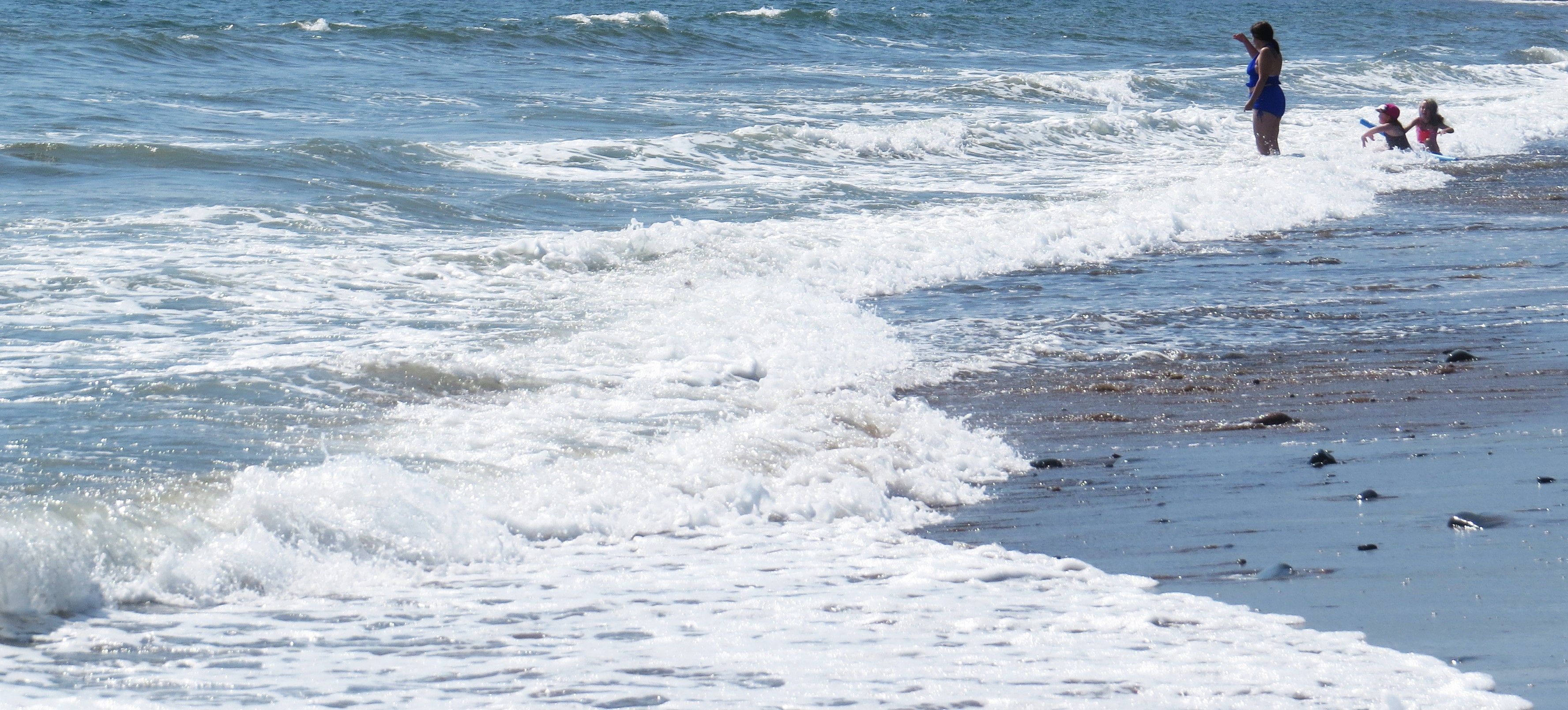
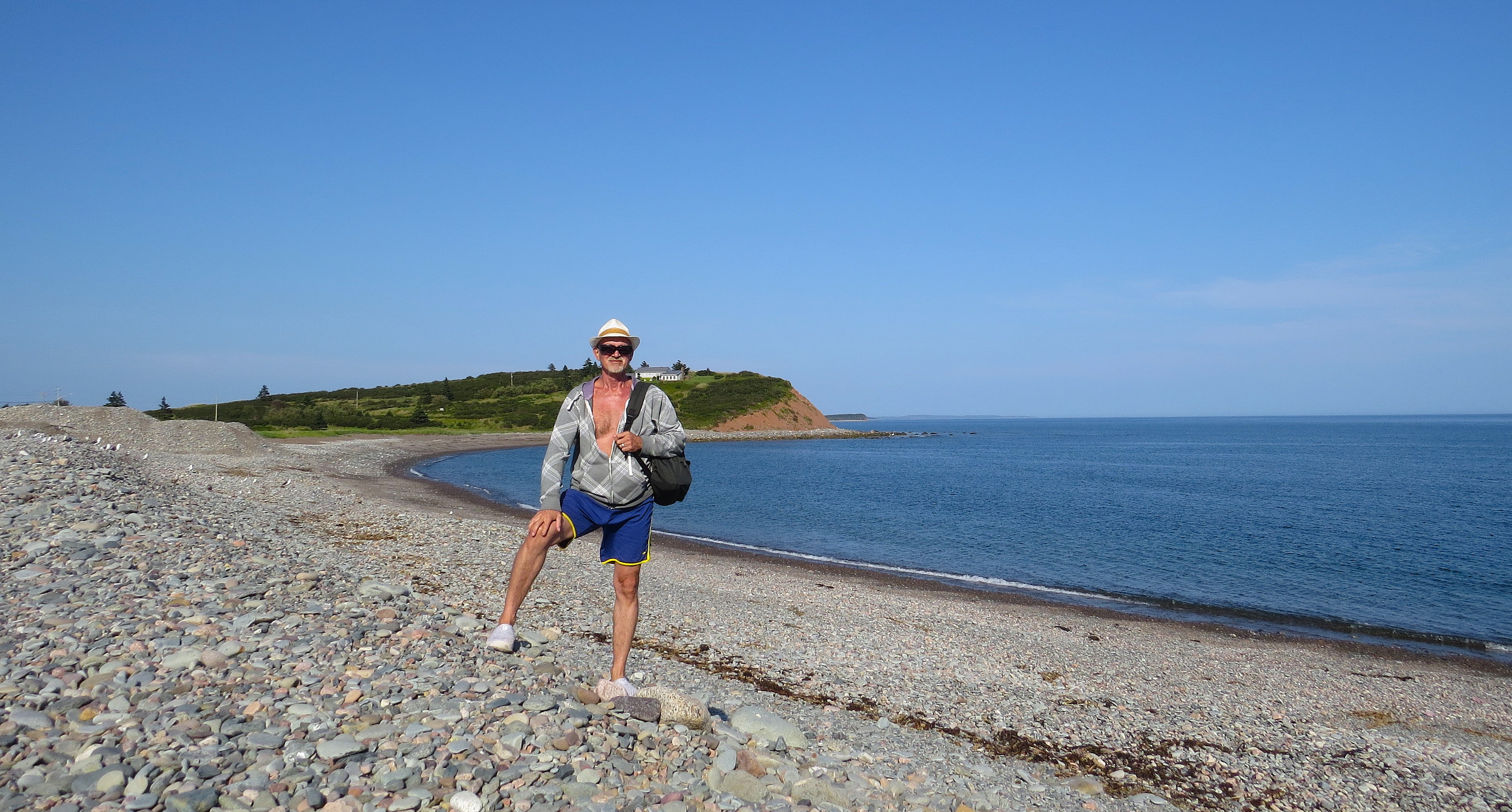
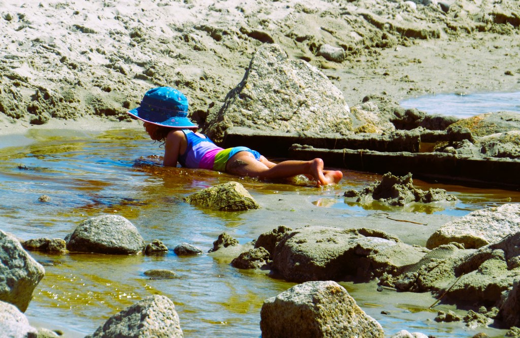
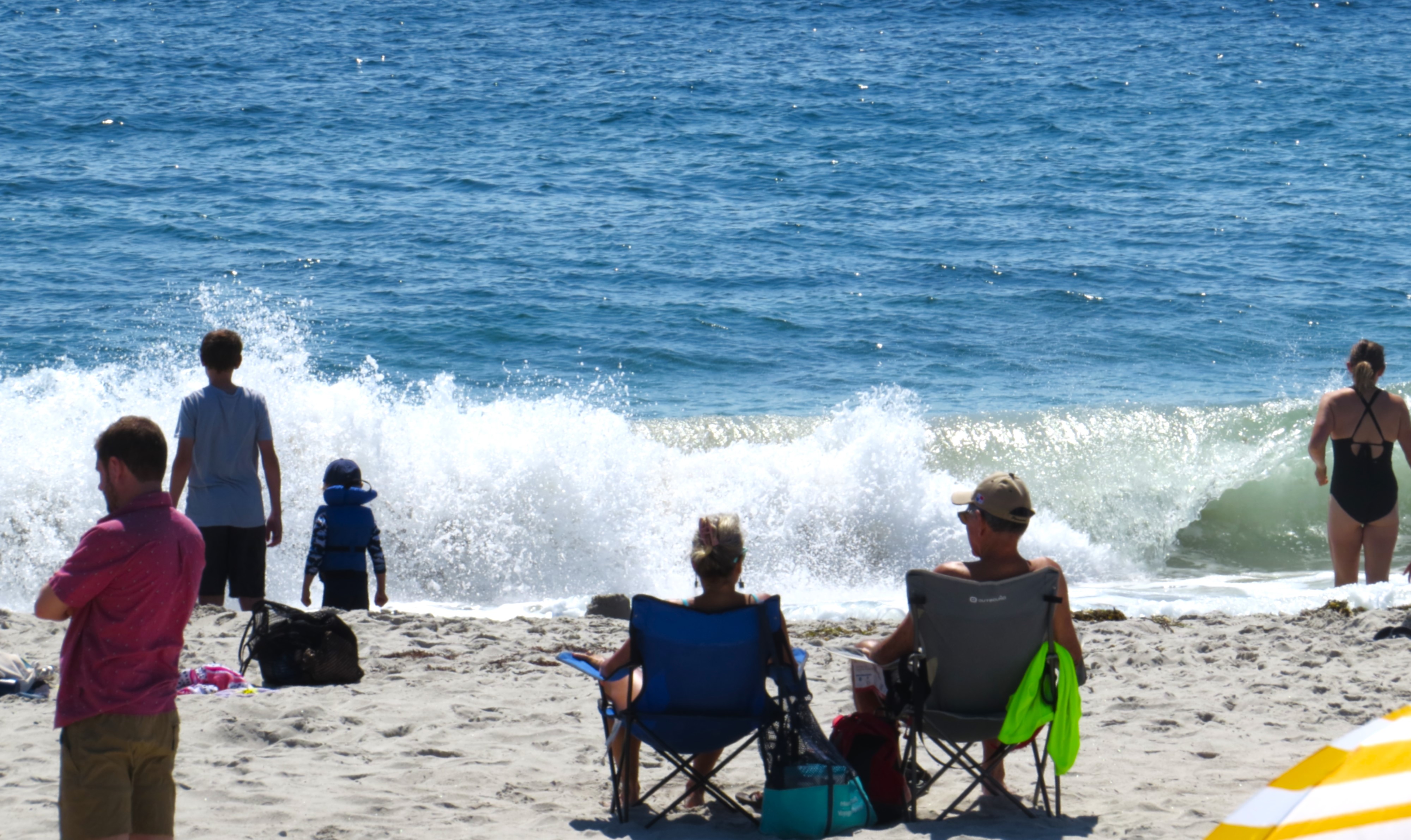
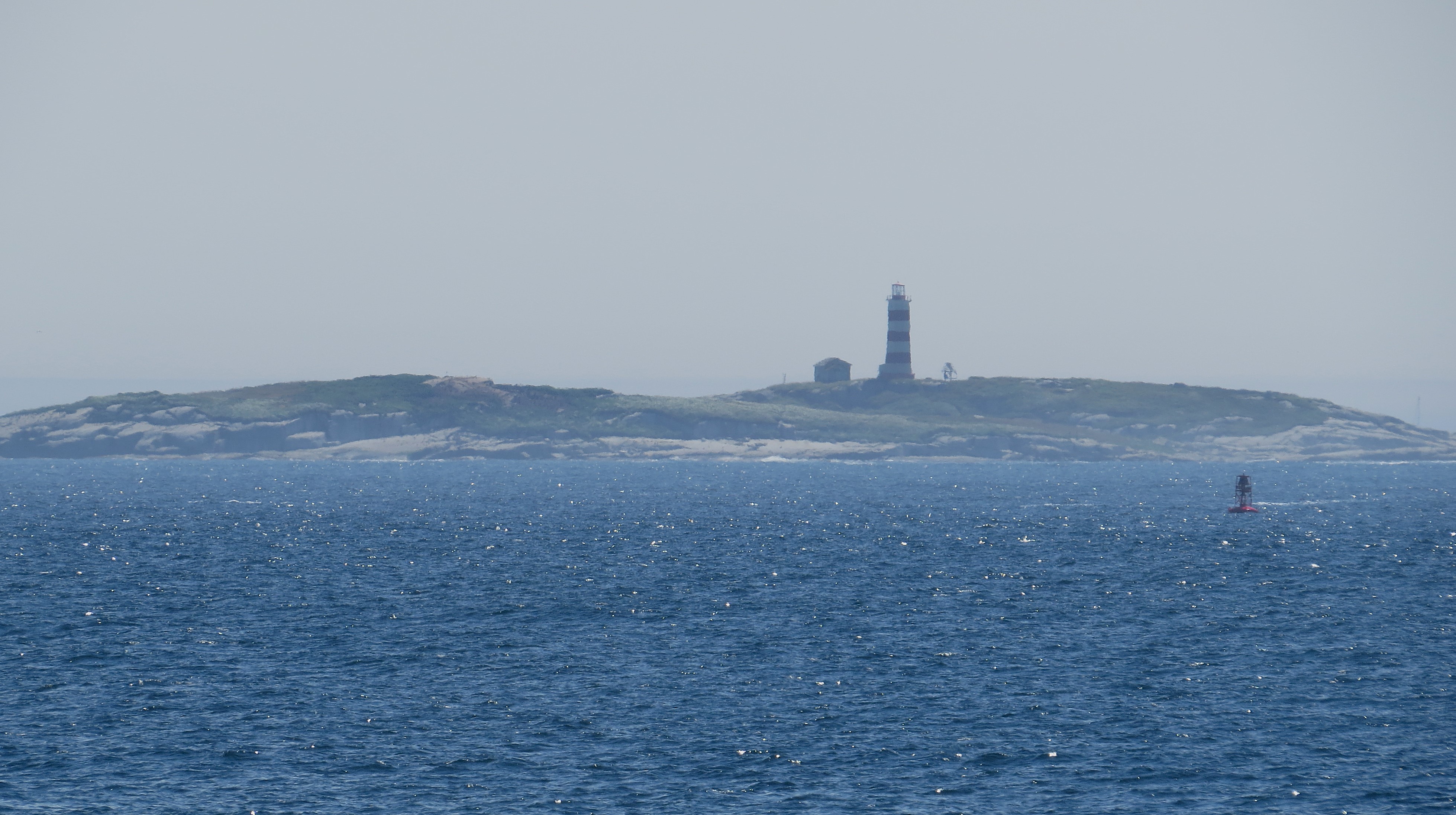
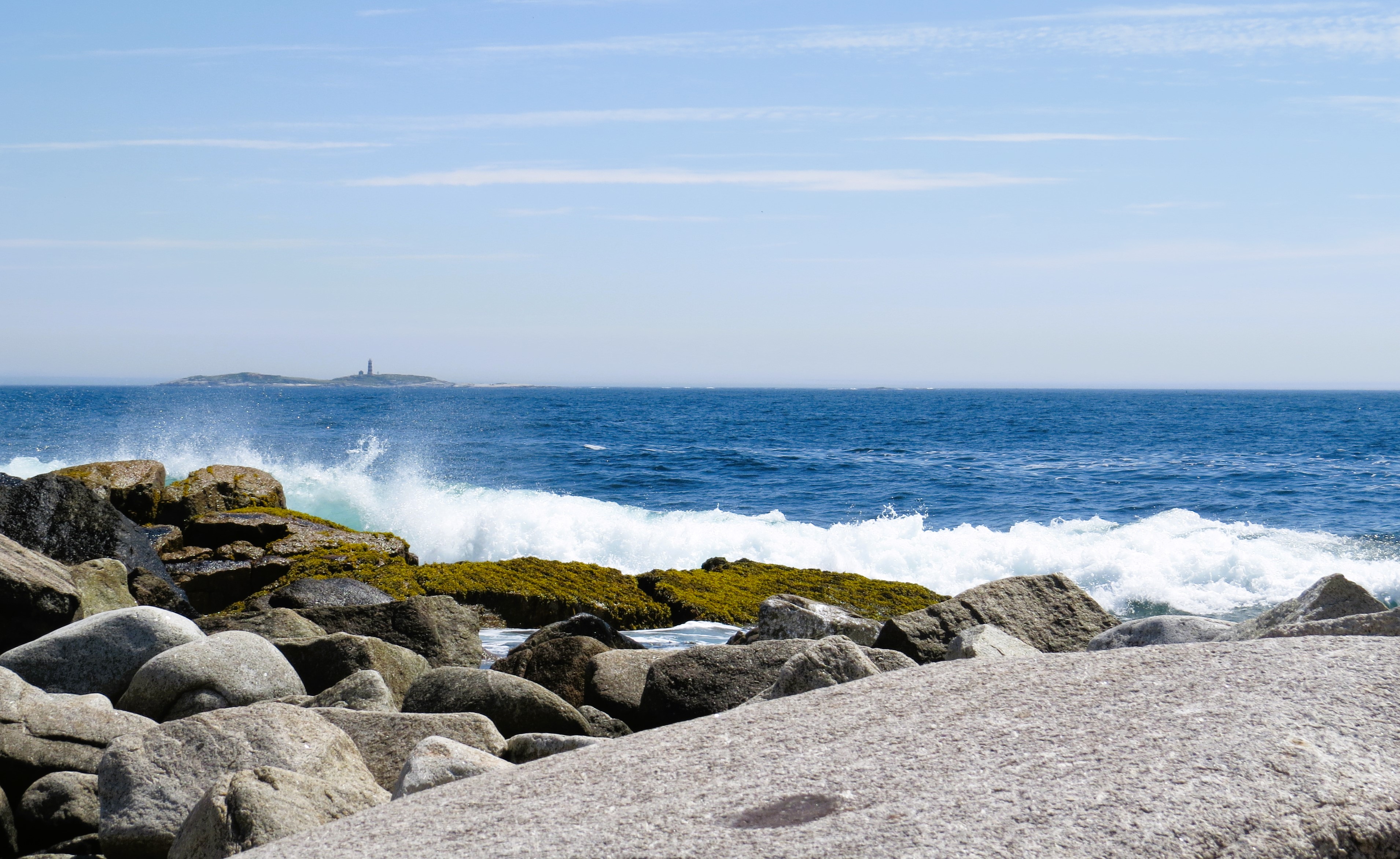
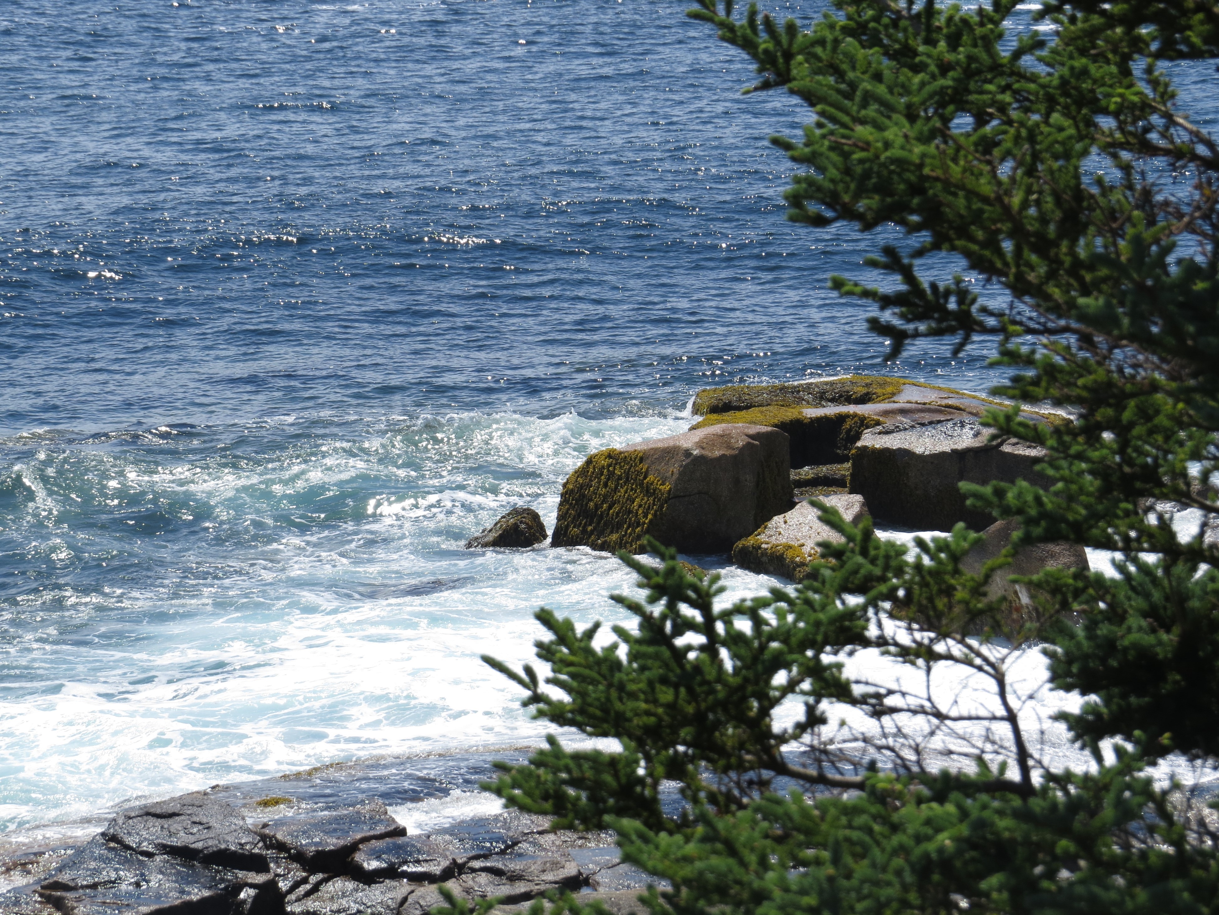
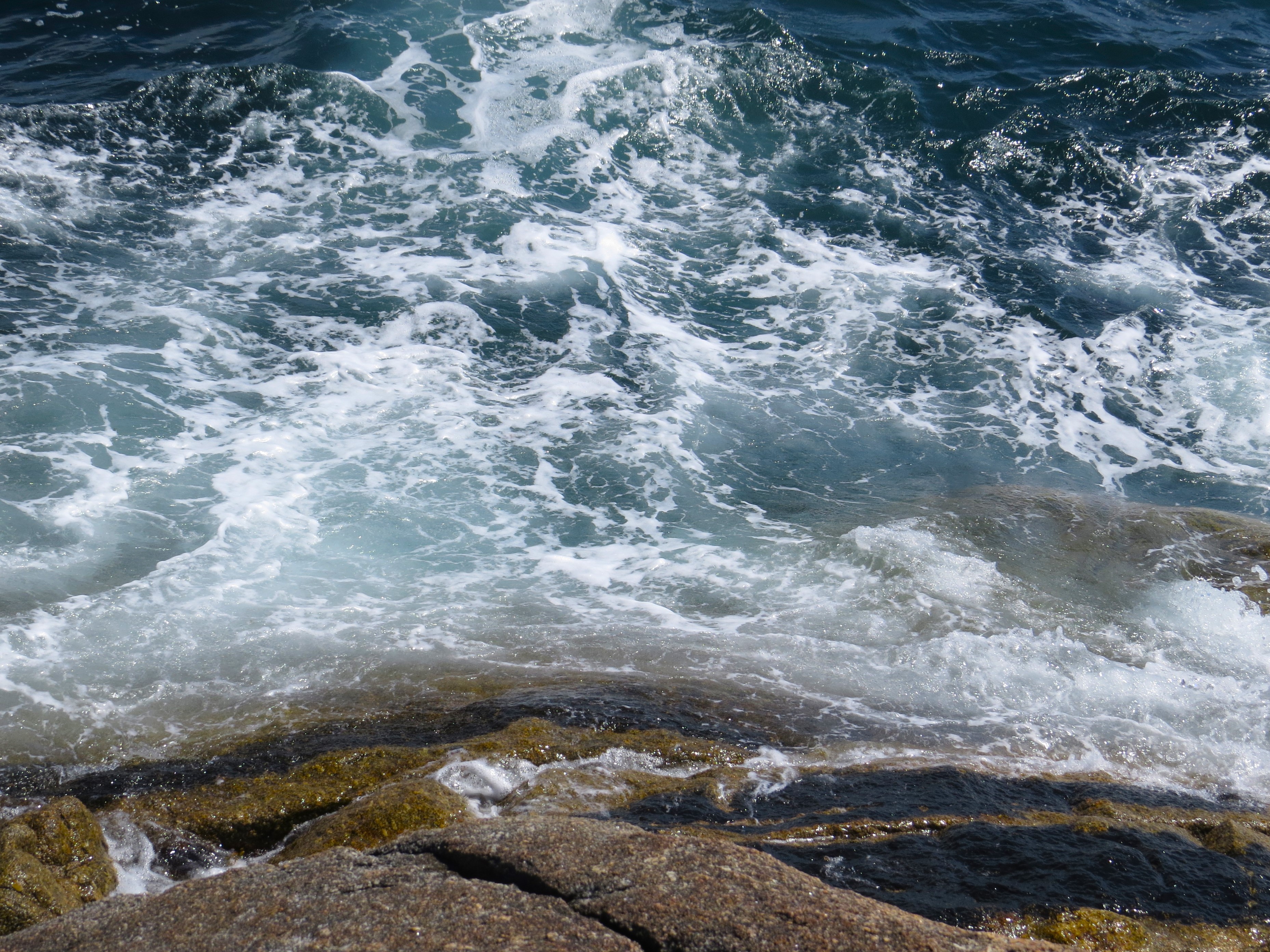
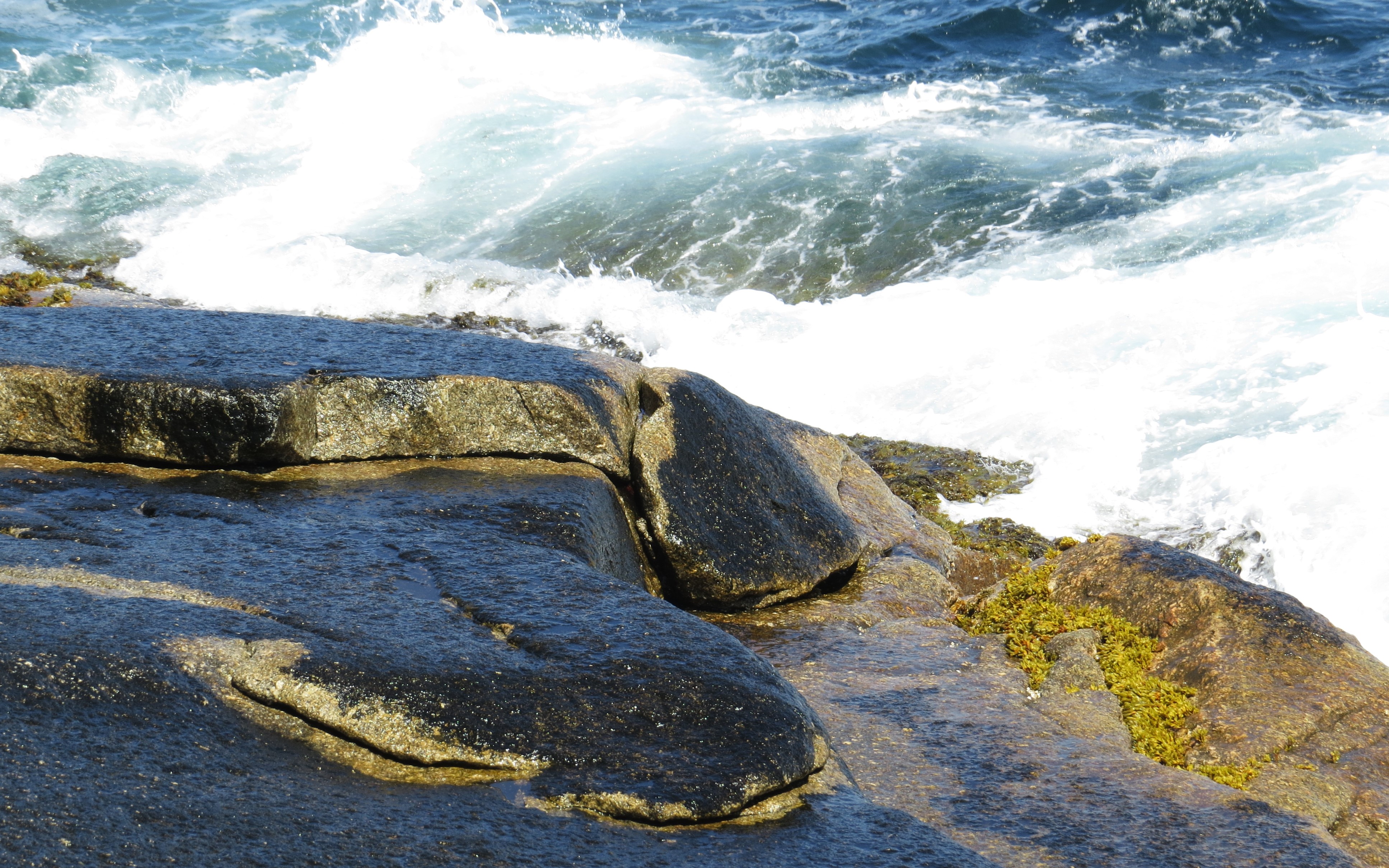
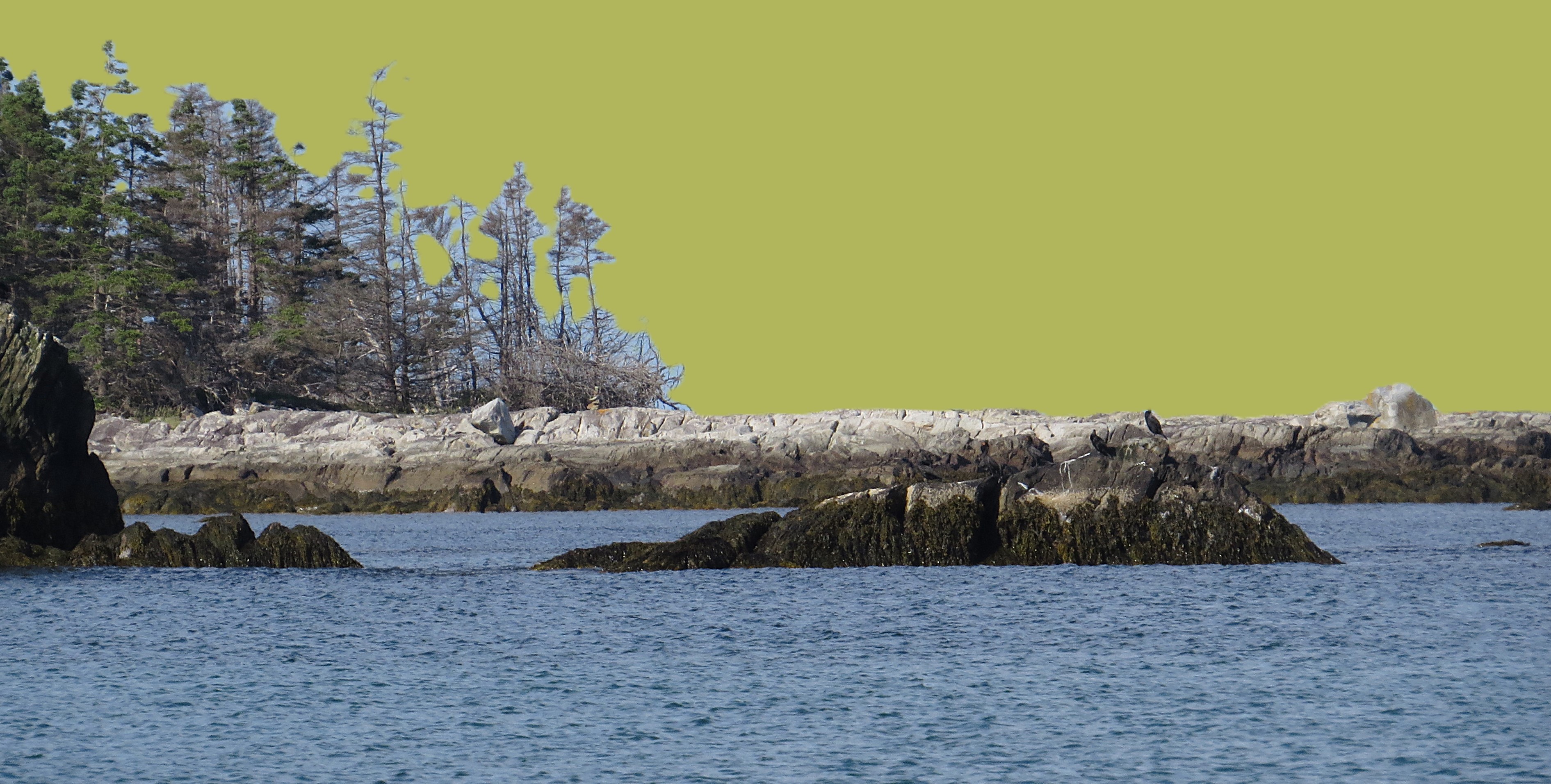
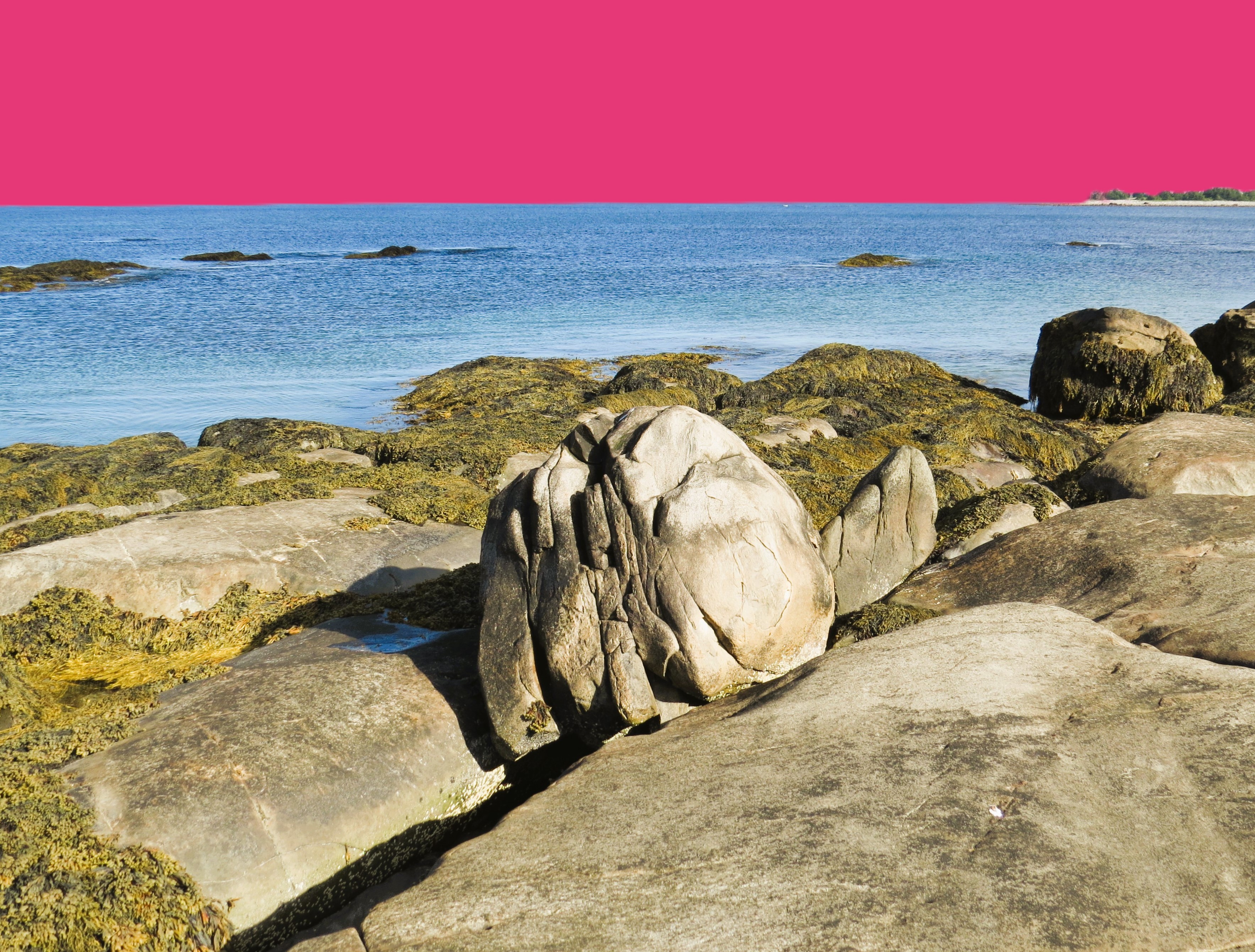
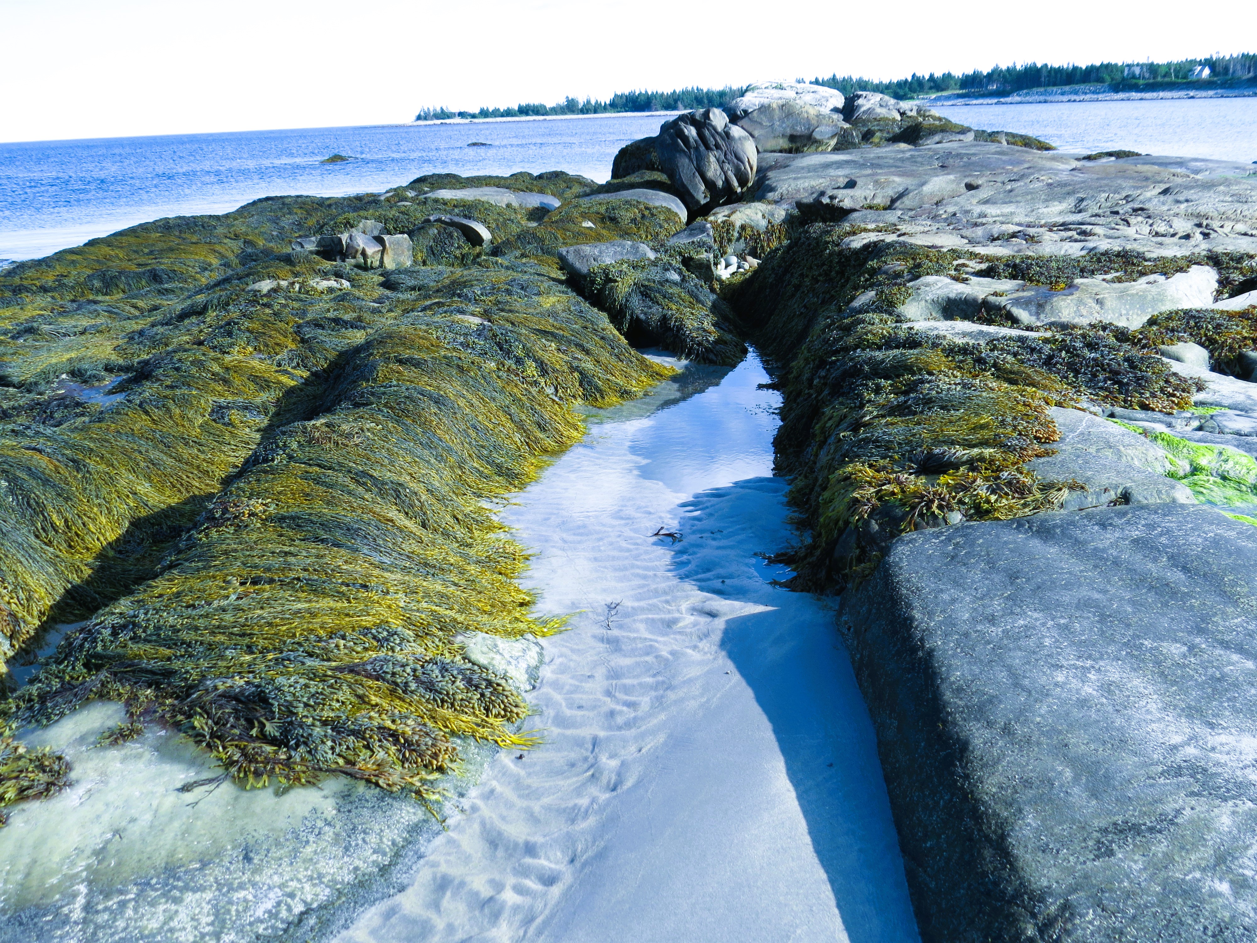
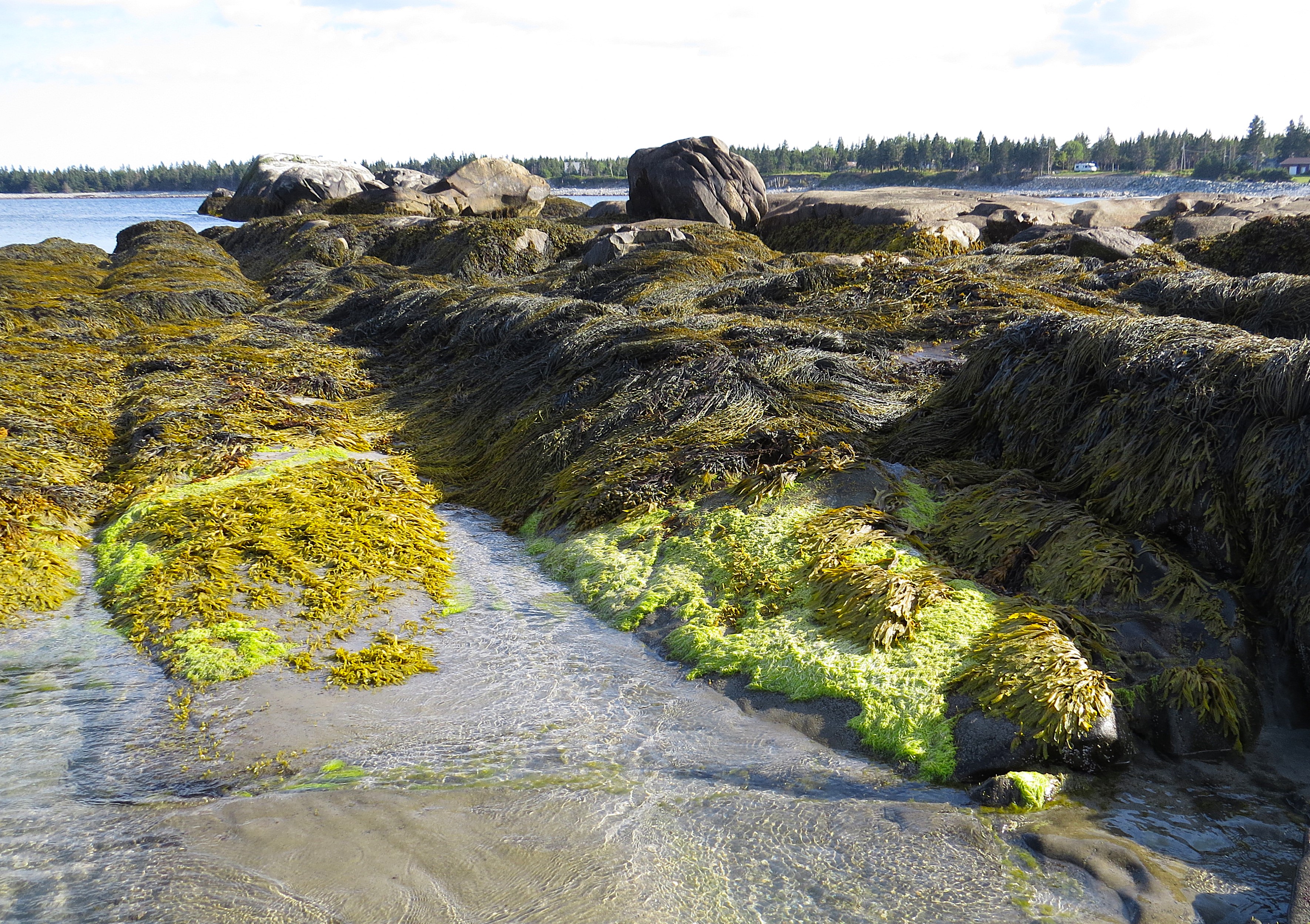
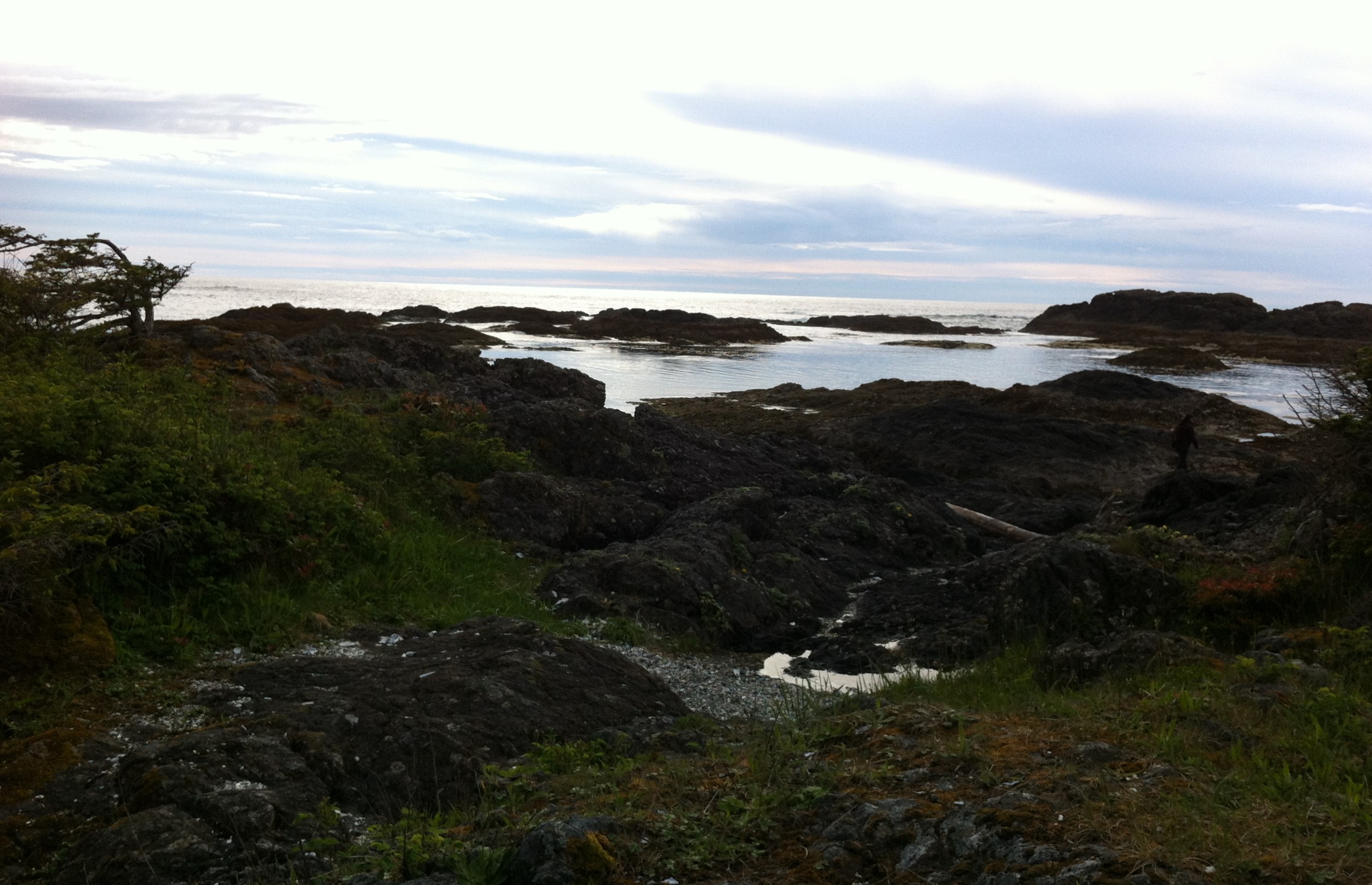
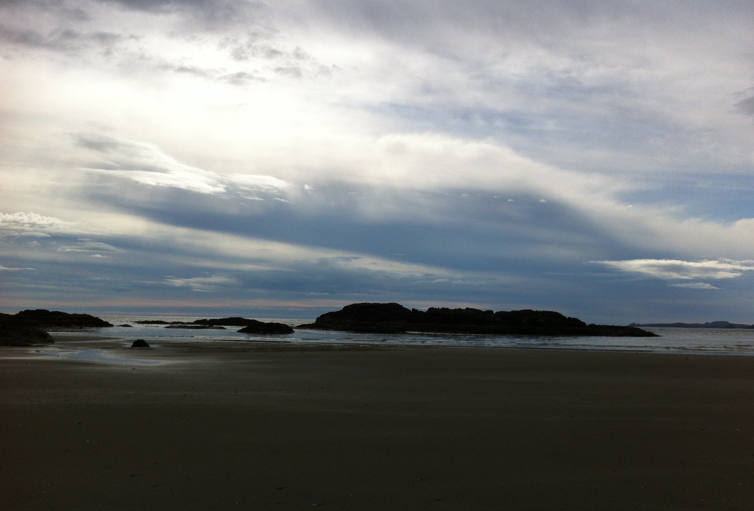
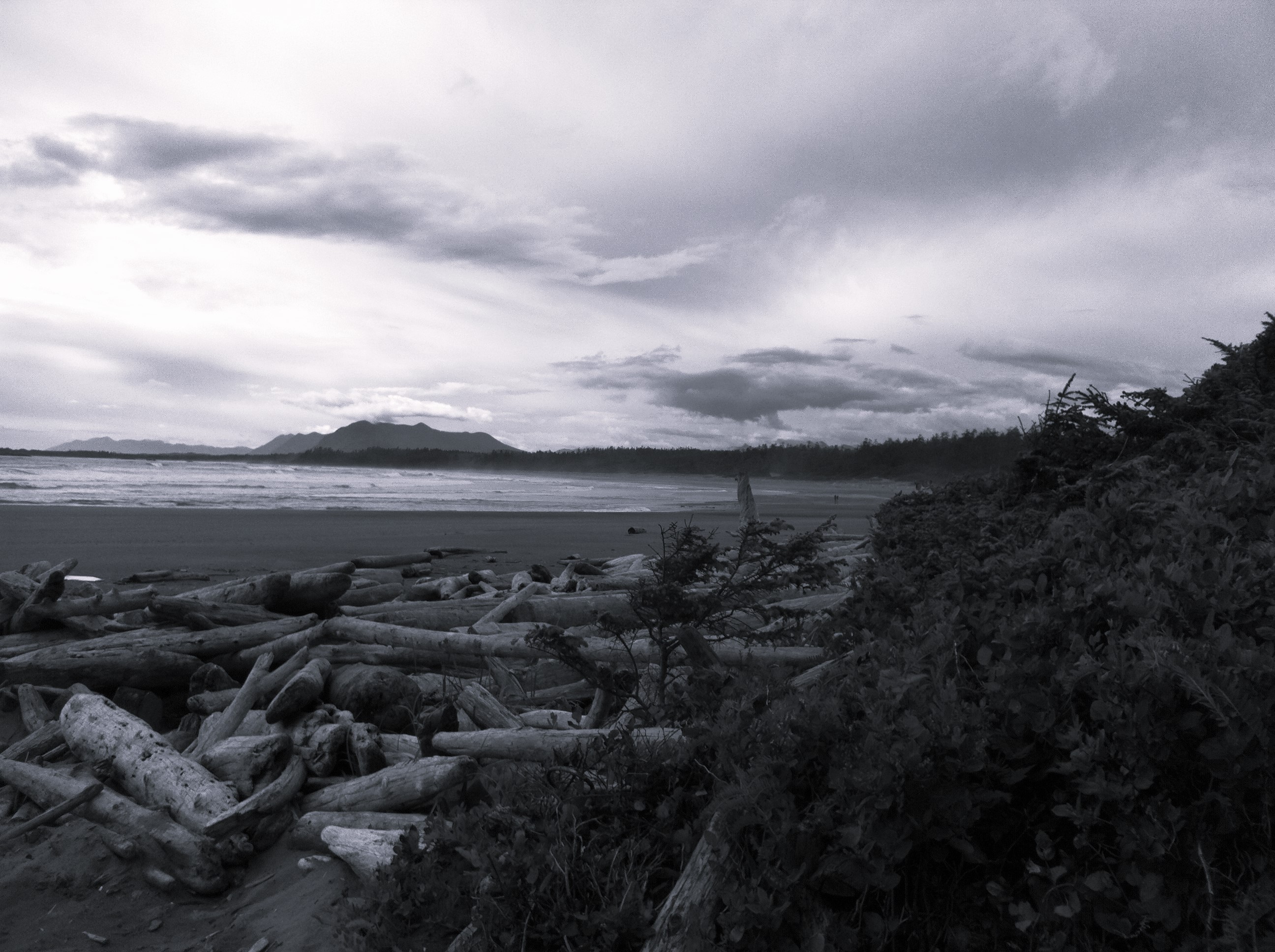
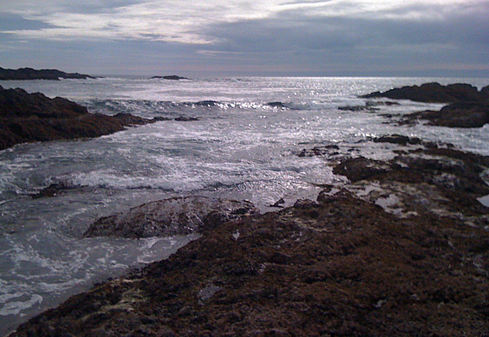
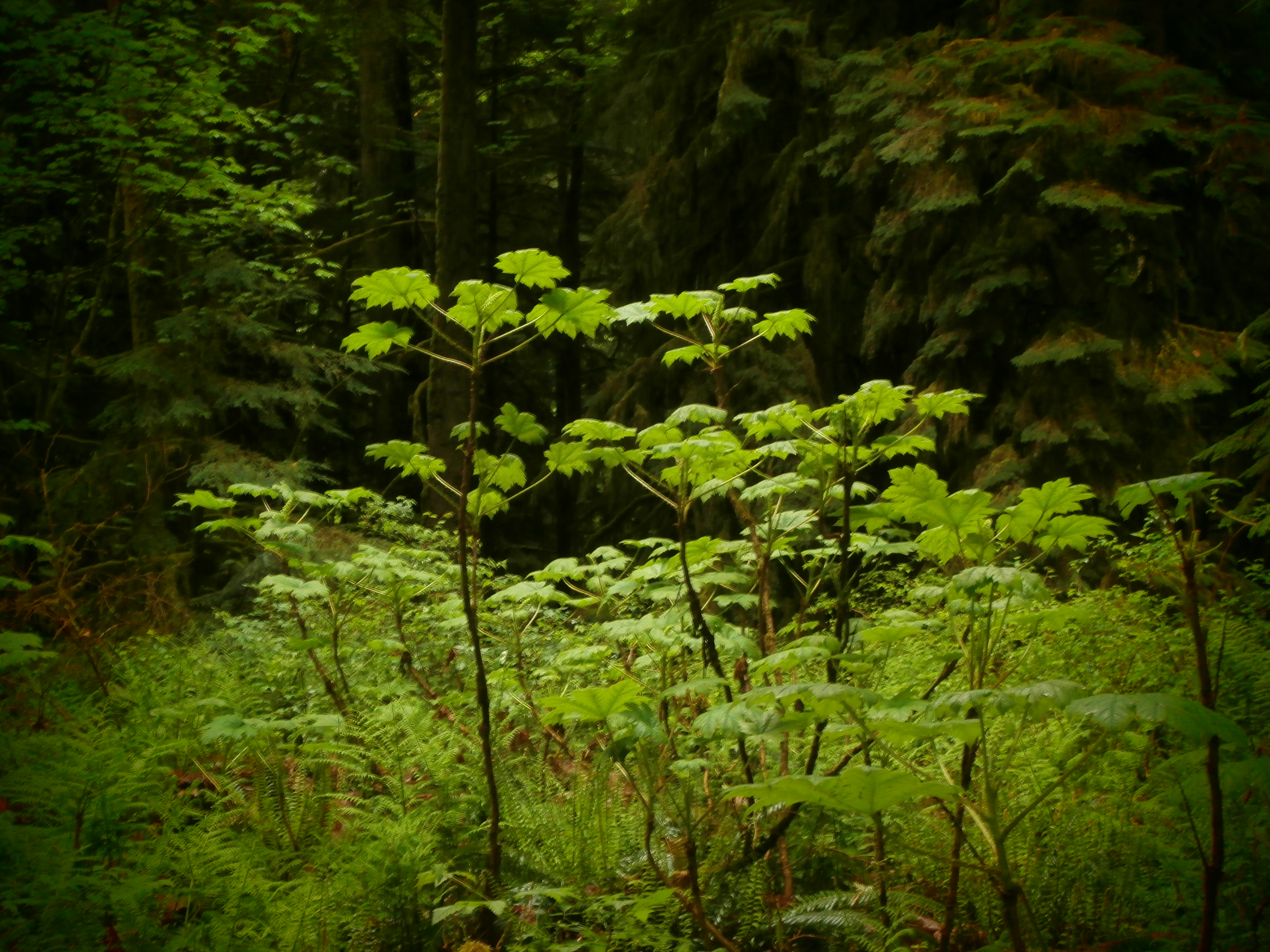
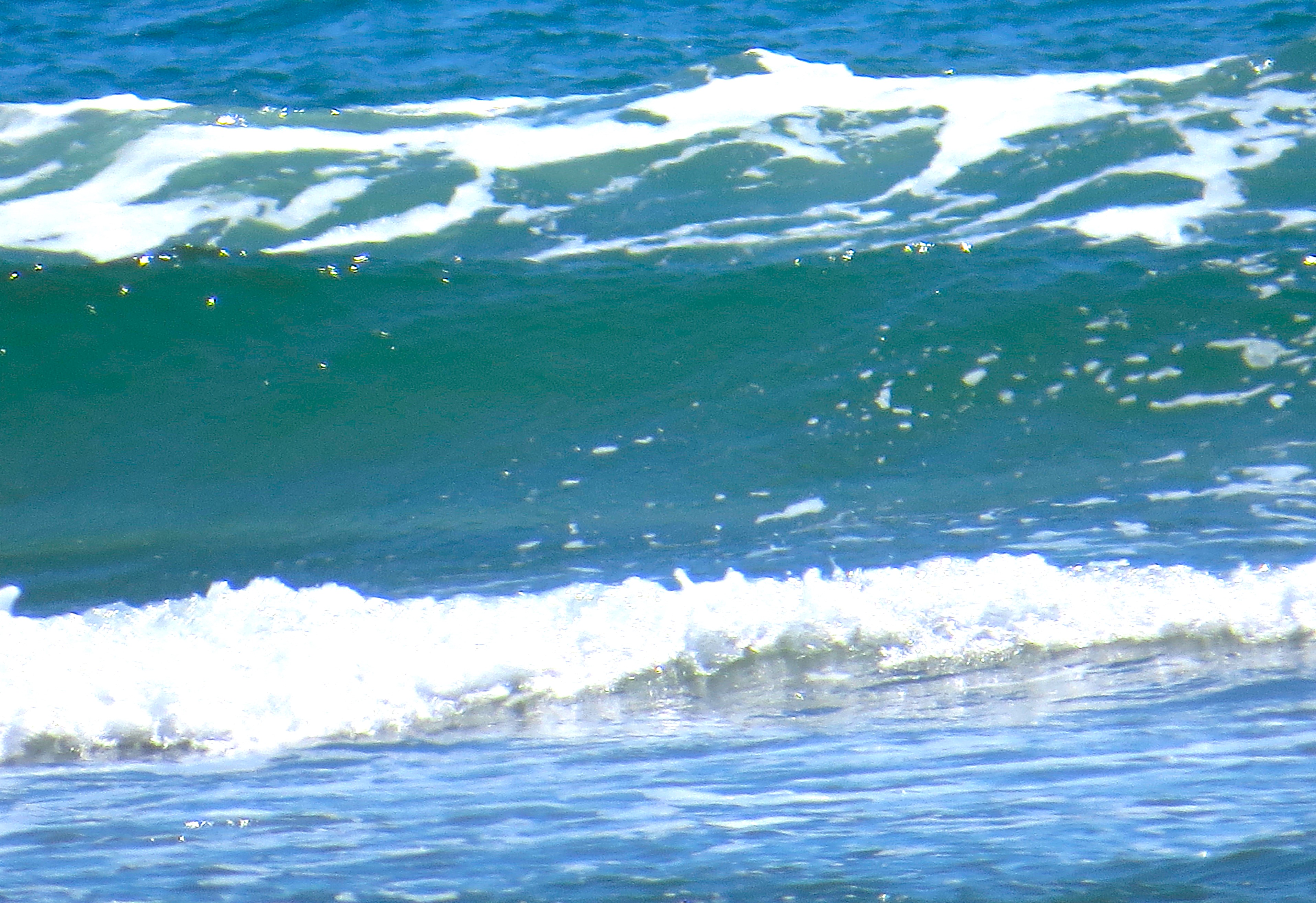
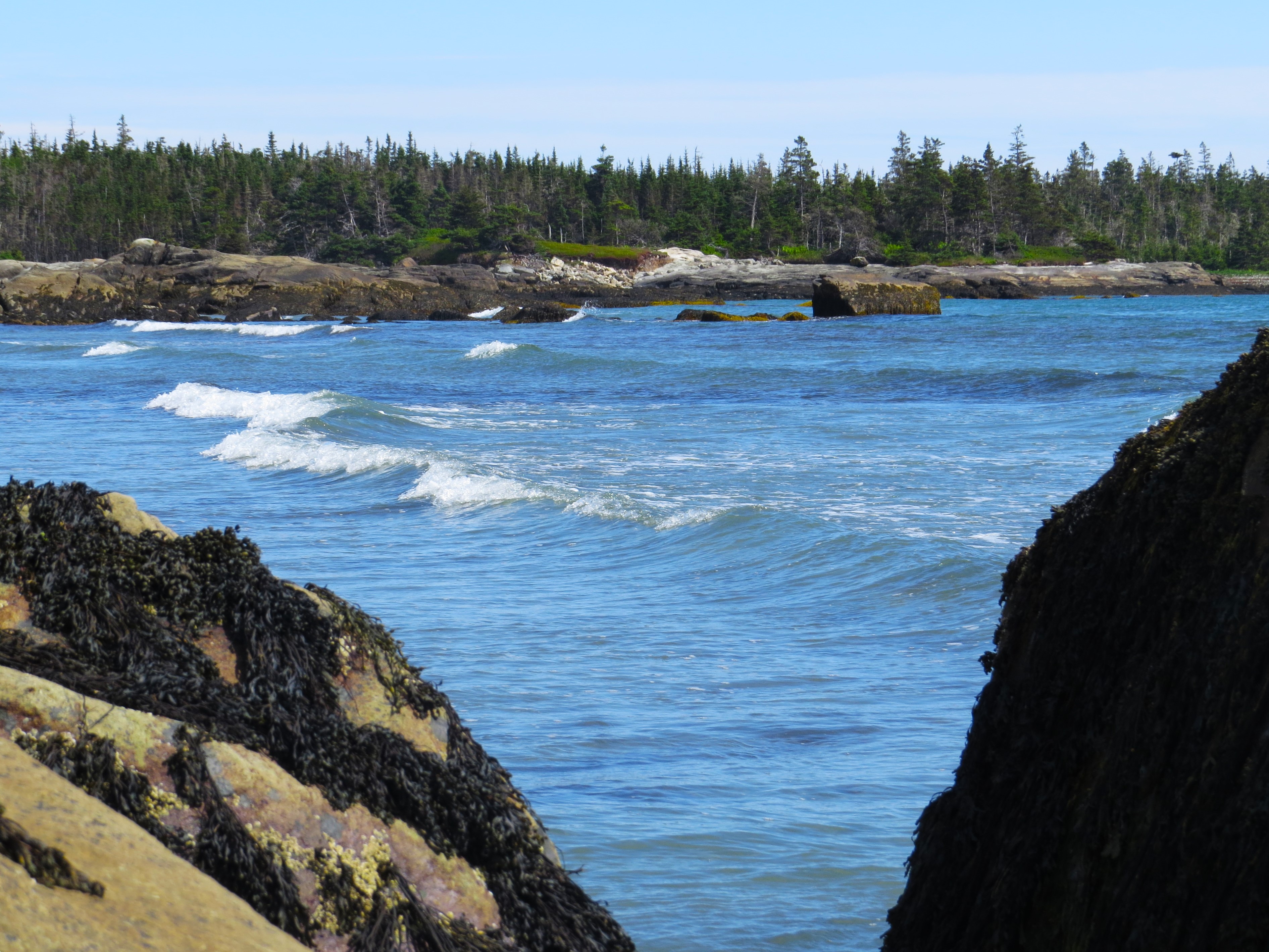
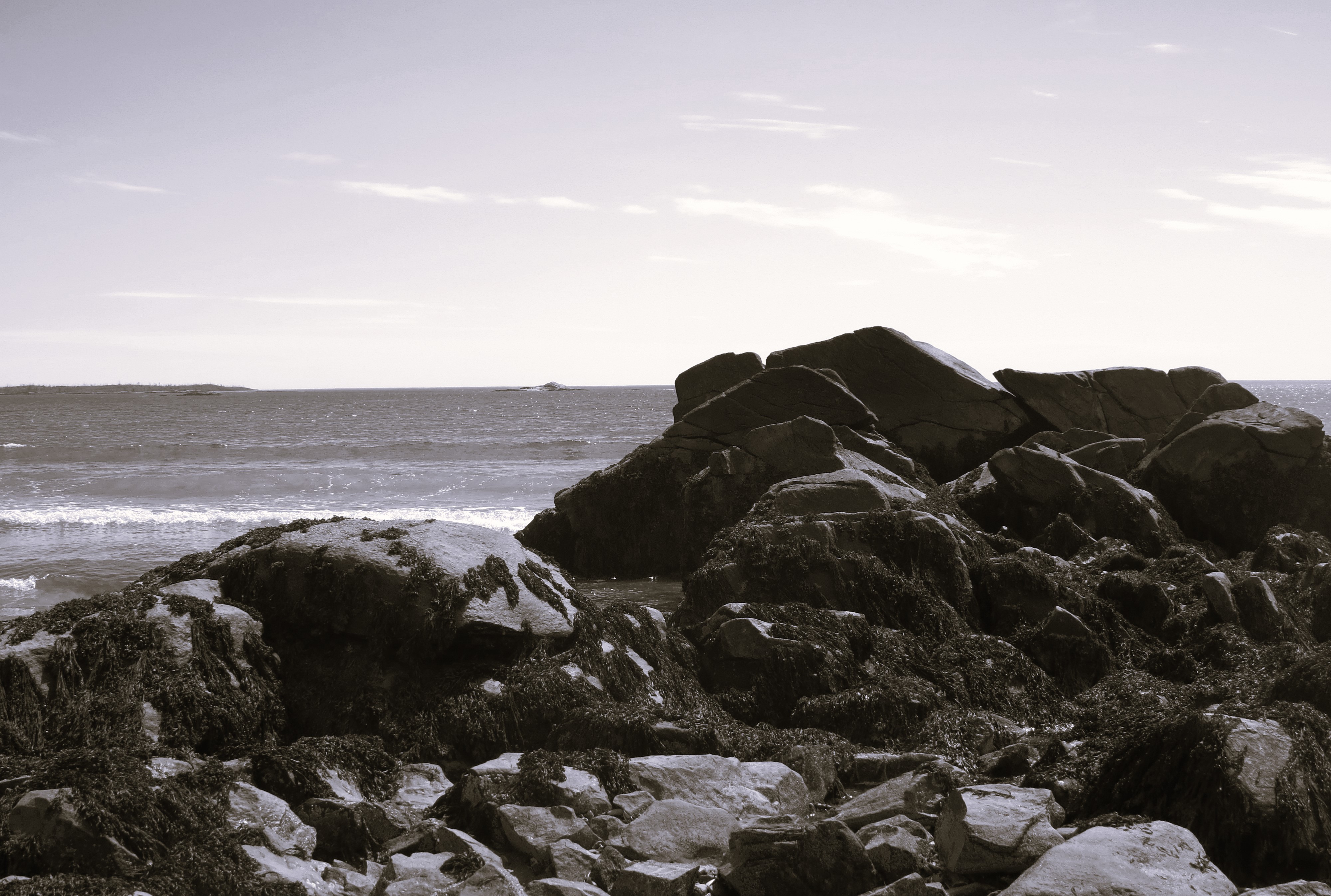
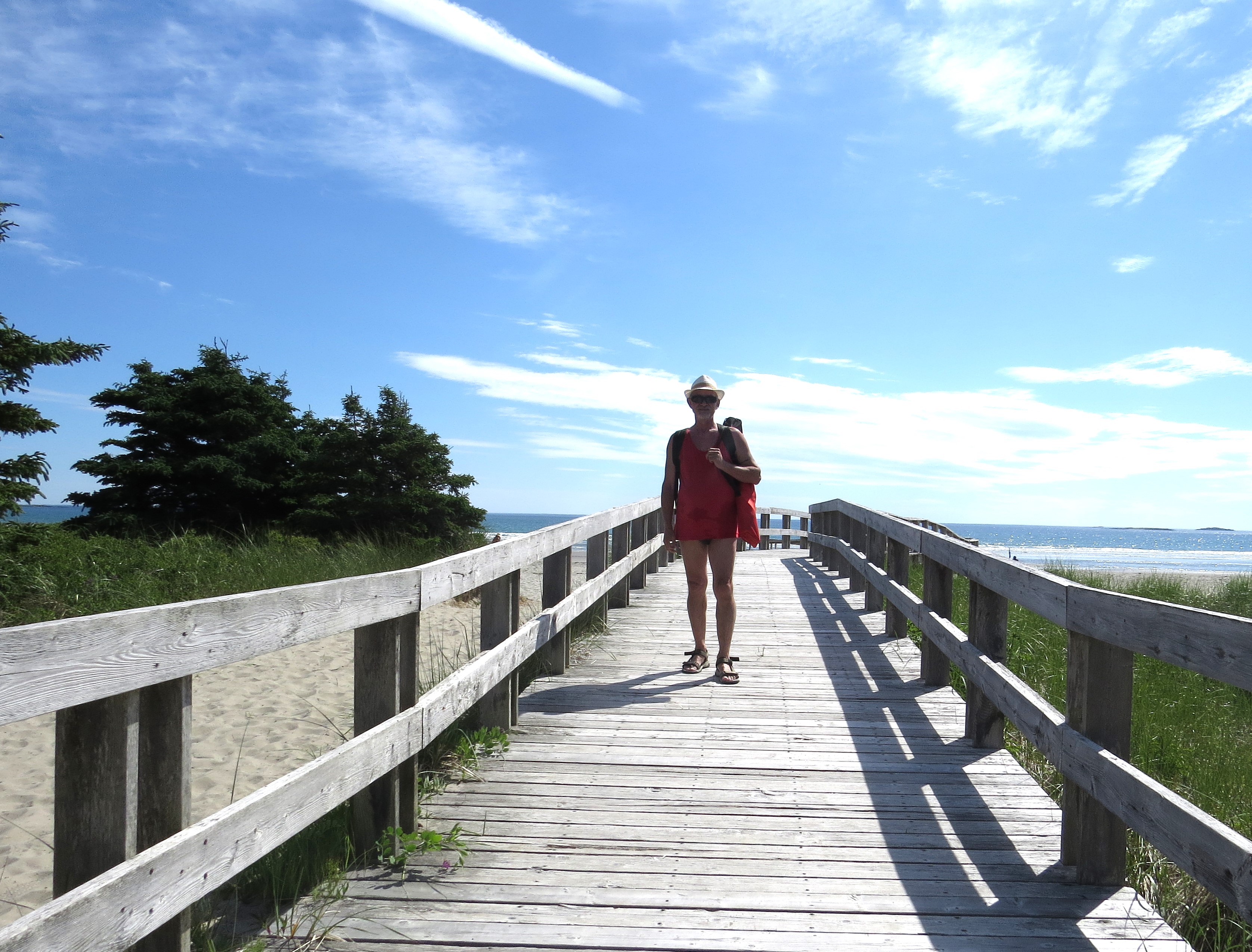
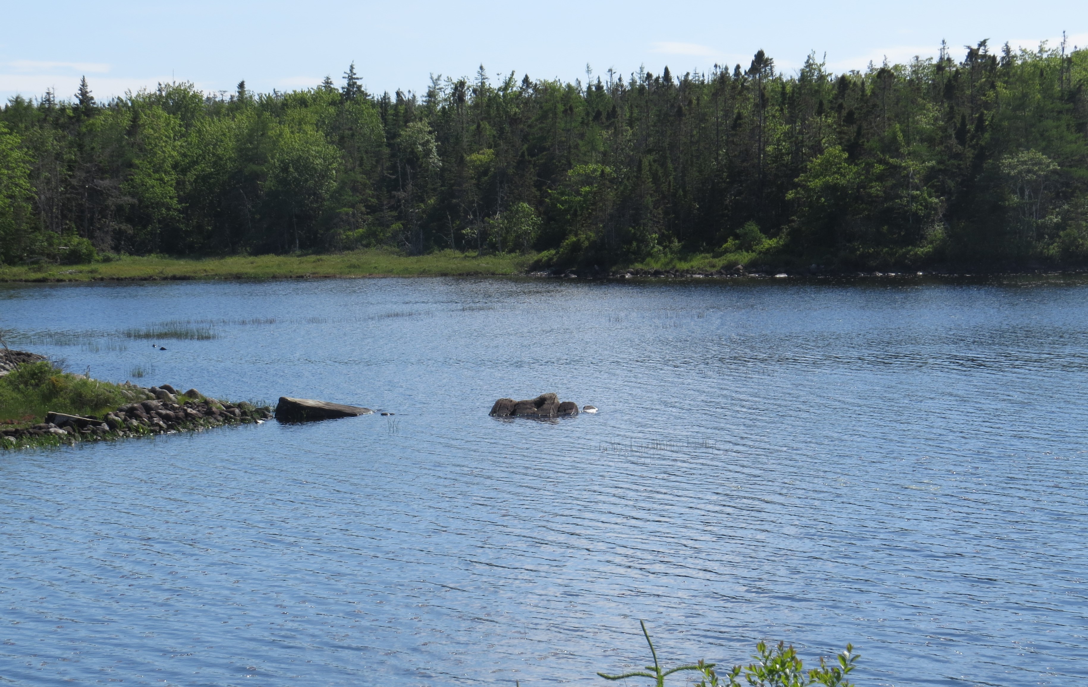
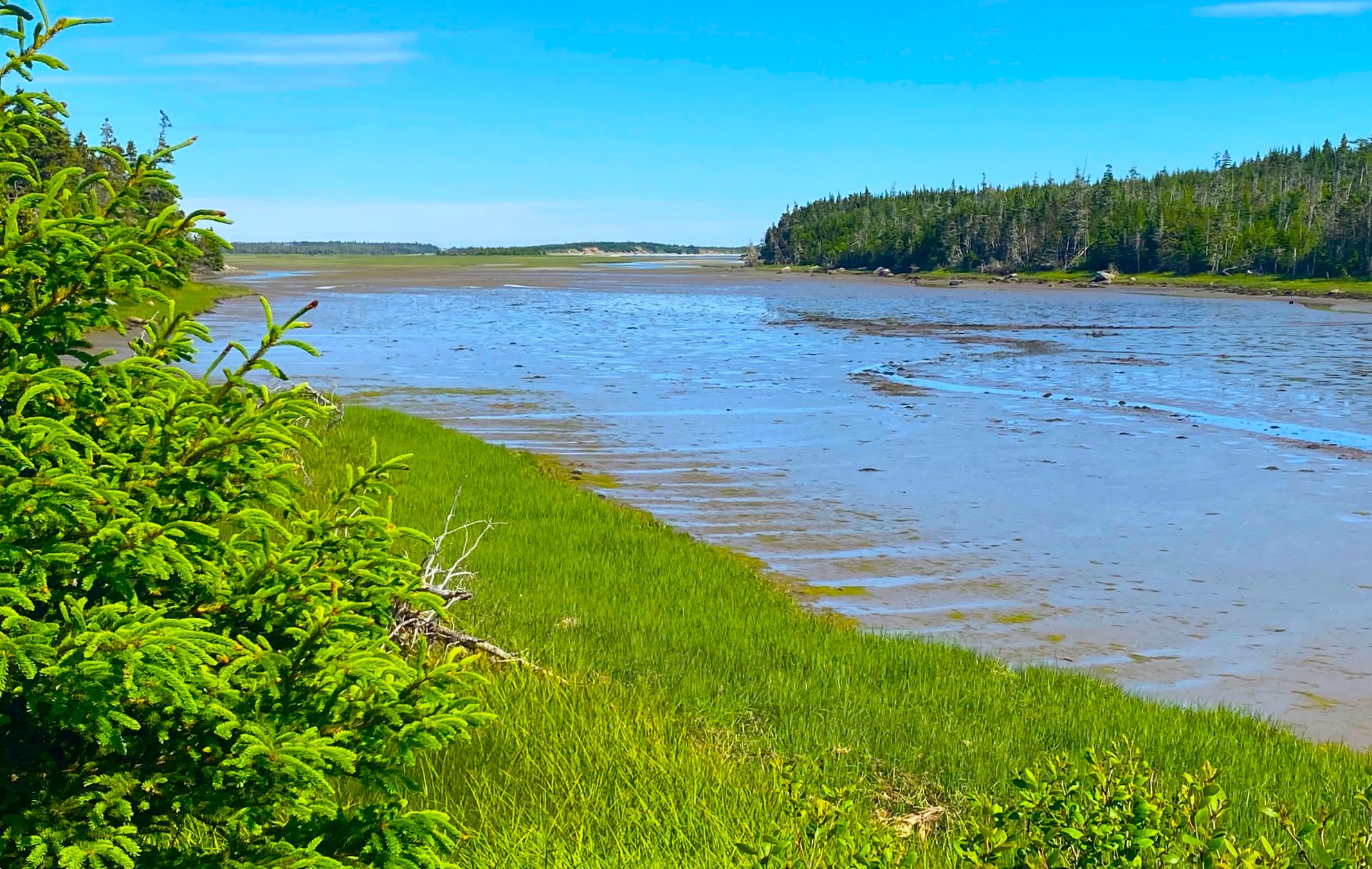
My travels through Nova Scotia most of the time takes me to Eastern Shore or to the north. It is my magic place – the wilderness, certain sense of rustic and old adds charm to it. Of course, the other attraction is my craziness about beaches – Eastern Shore is one big beach! Every turn of the highway there is one. Some small, other vast and long. And huge, massive ocean bays make it a long drive and always offers new experiences.

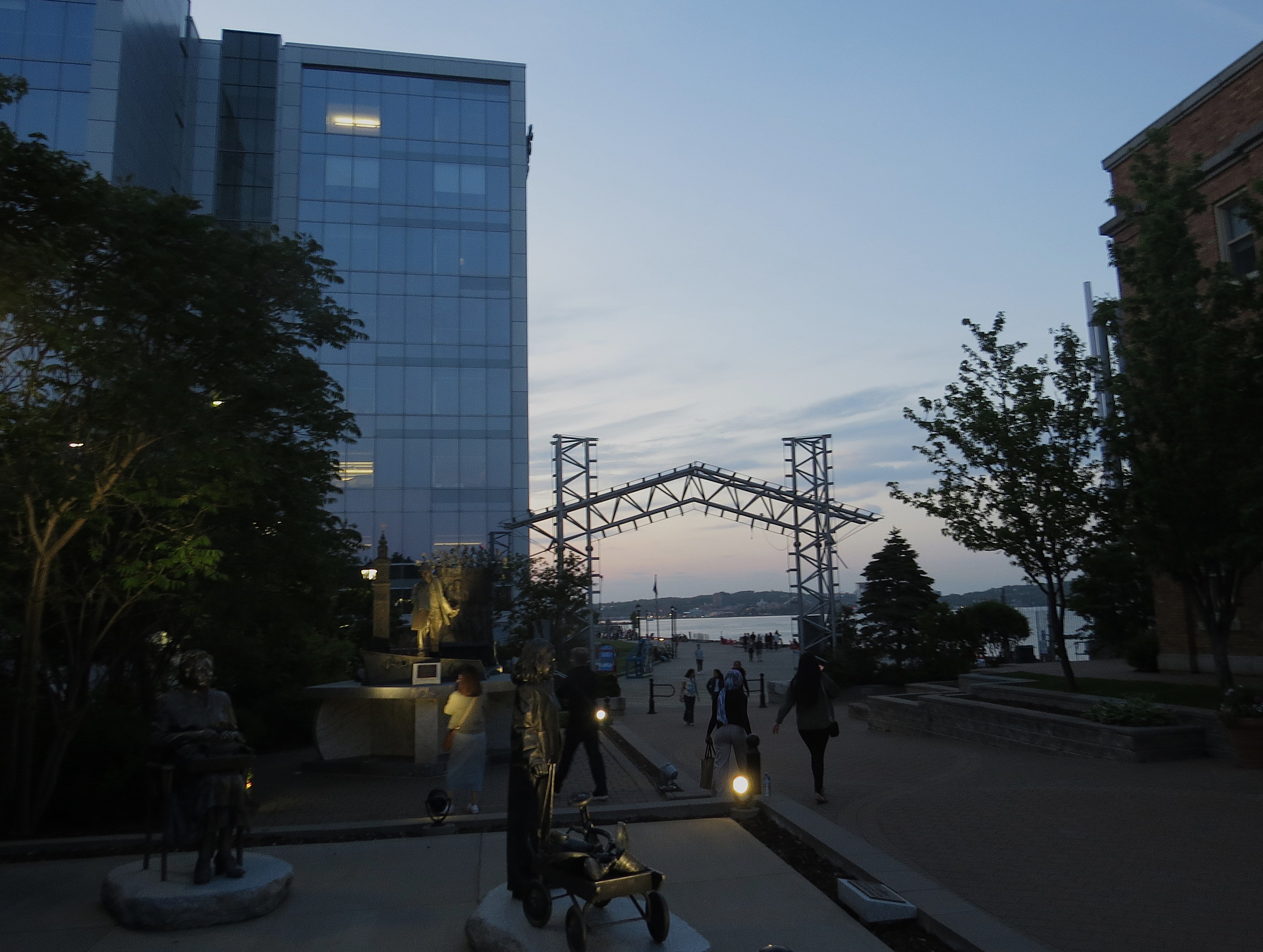
Halifax is the hub of the entire peninsula. The world to the east is different from the world to the west and south.

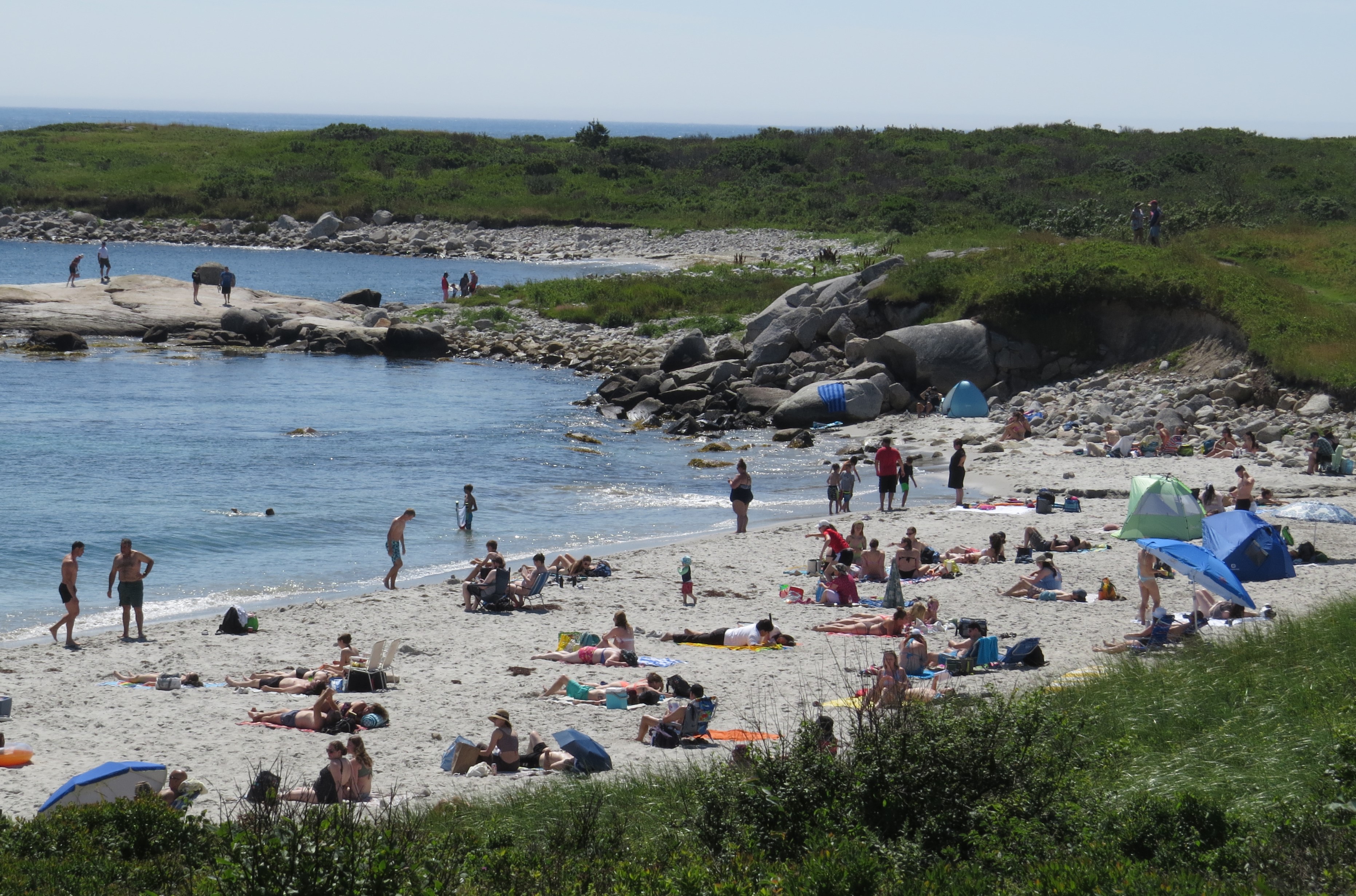
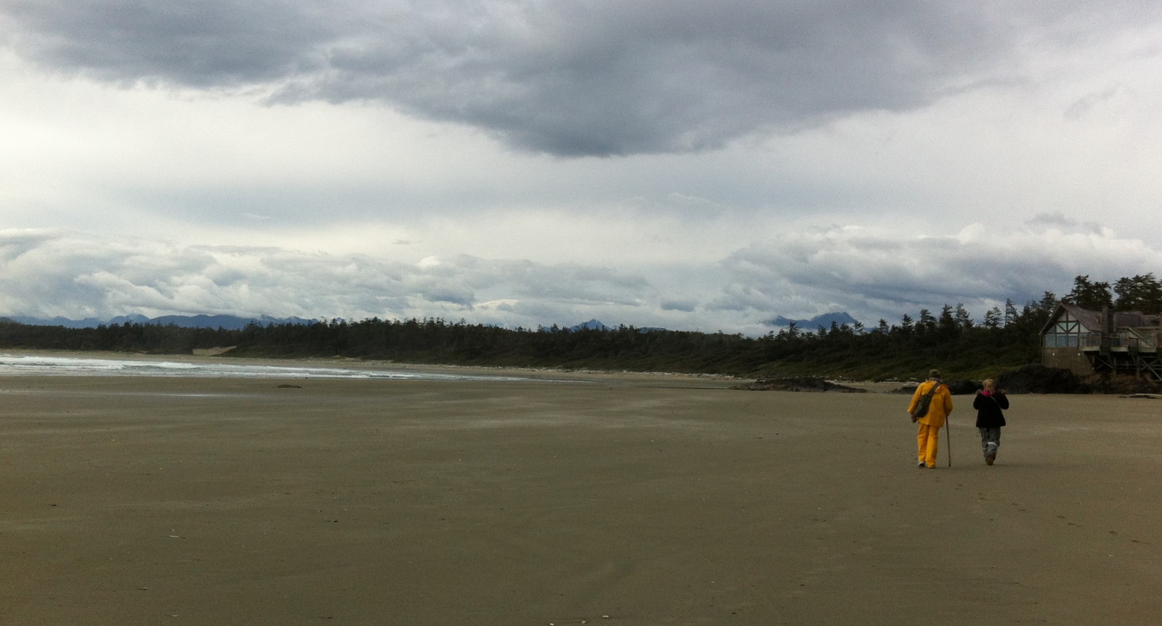
The shore is different, the beaches are different. Even the towns and cities are different.

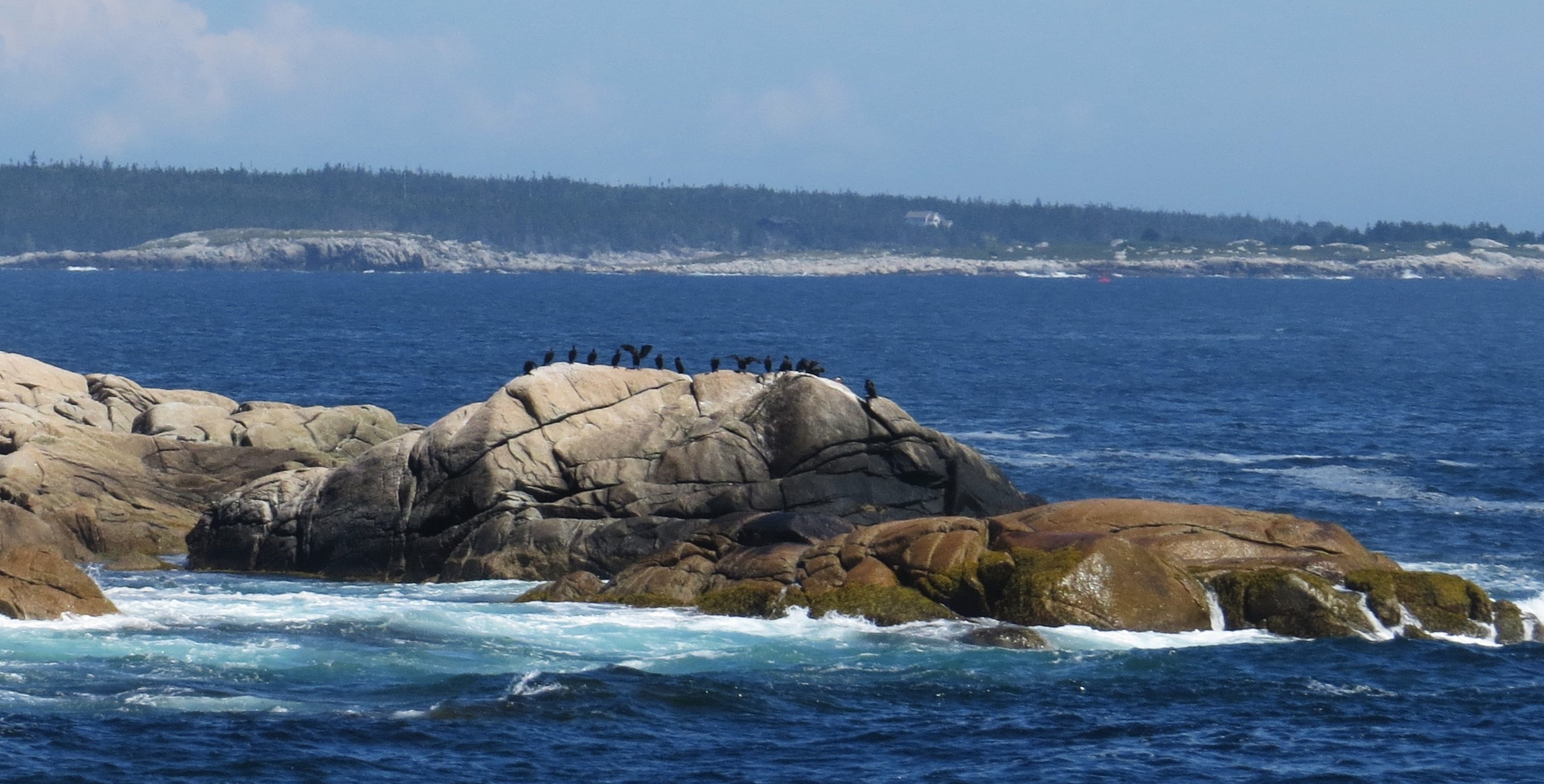
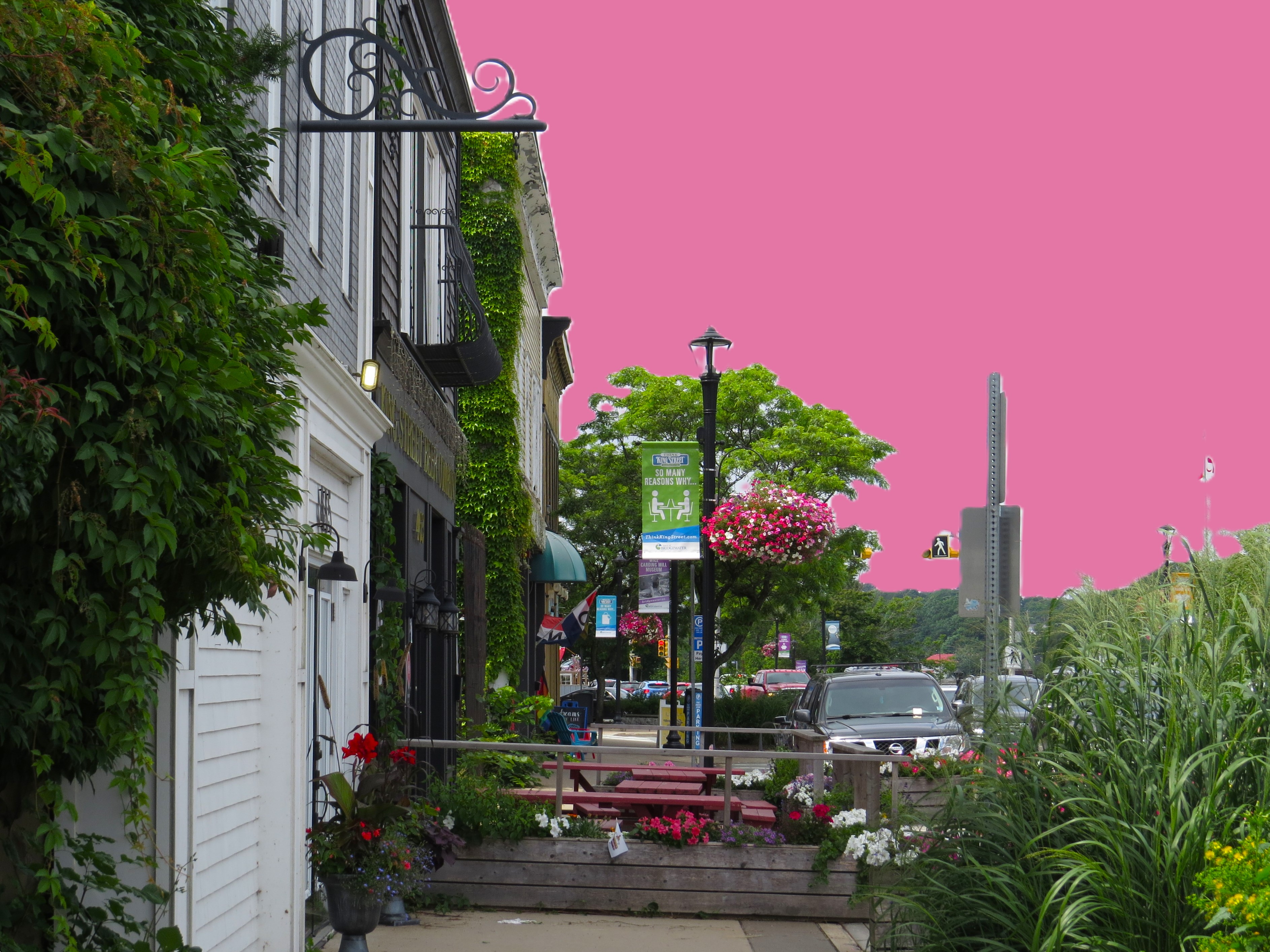
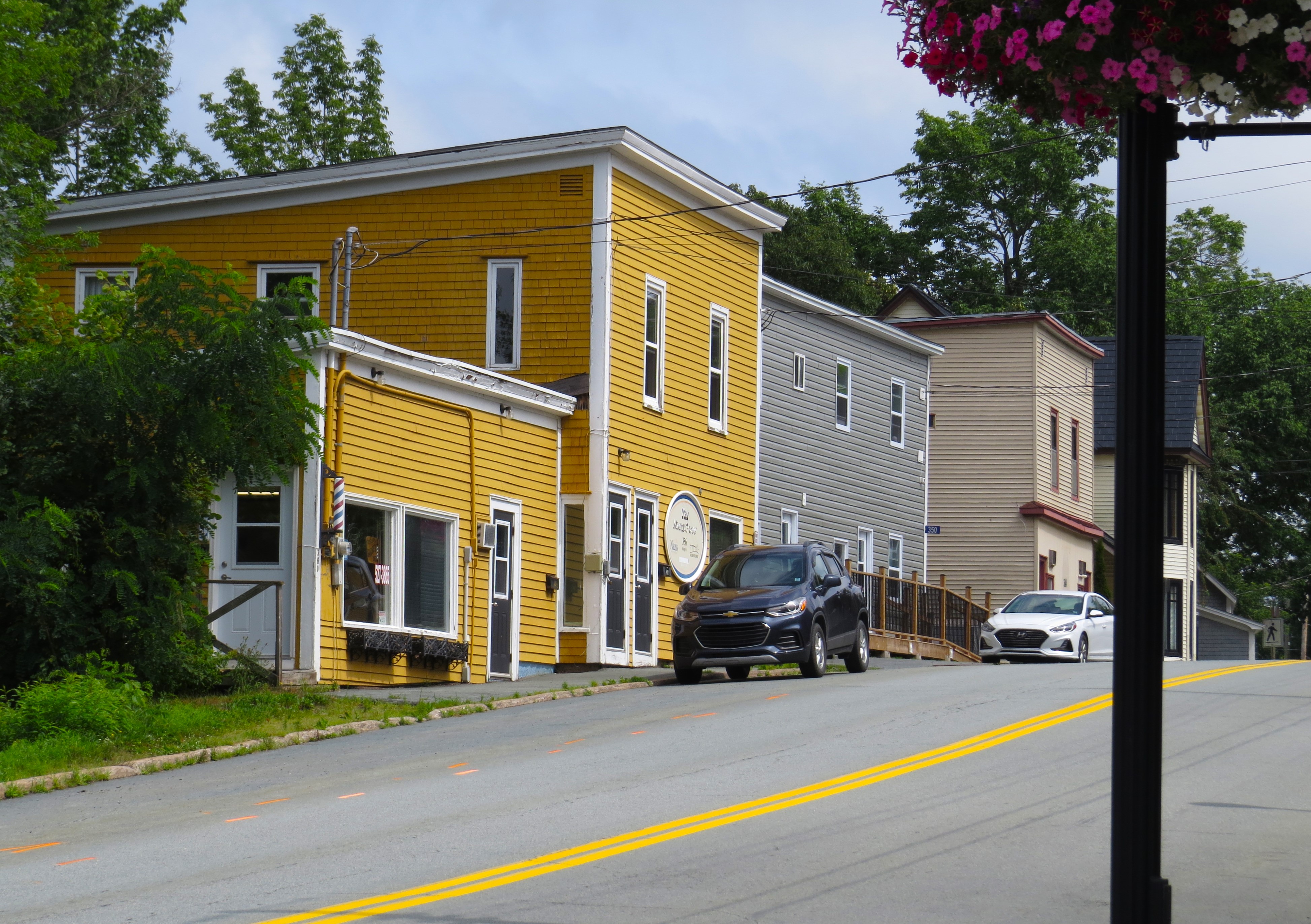
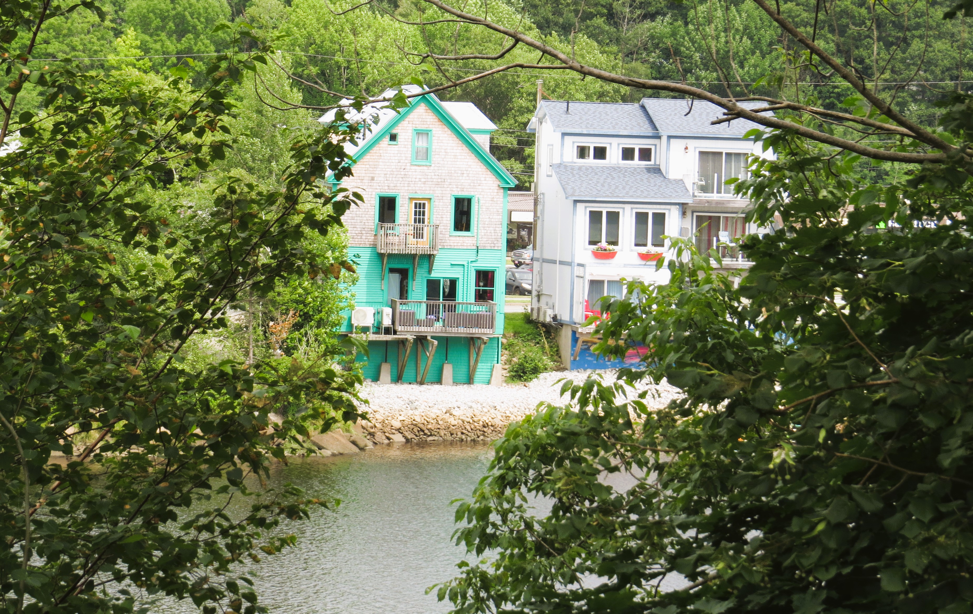
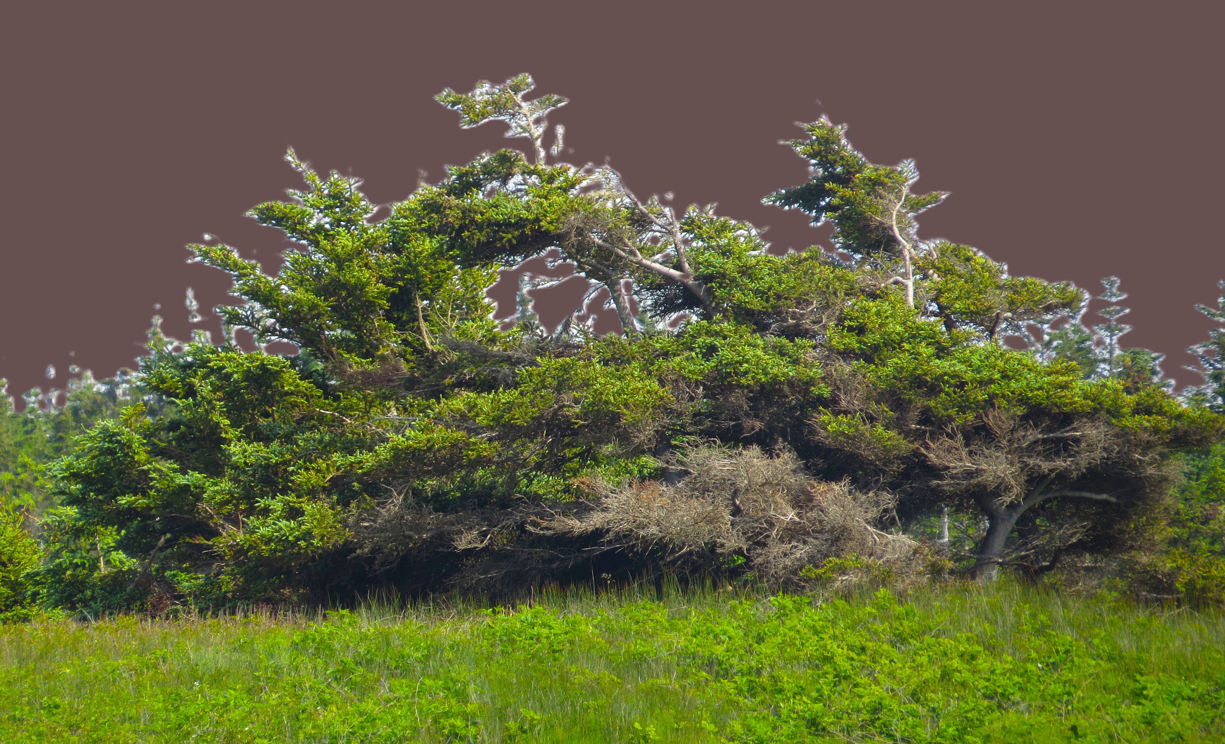
I think that huge St. Margarets Bay is in a way a symbolic point where the shore and the communities change: to the east of it – the rustic and a bit culturally different character but with one of the best beaches in the world; to the west the charm is more subtle, more refined, communities seem to be more affluent. Shall I say – more continental? But the beaches are nowhere near the beauty of Eastern shore. I guess, there must be balance, LOL.

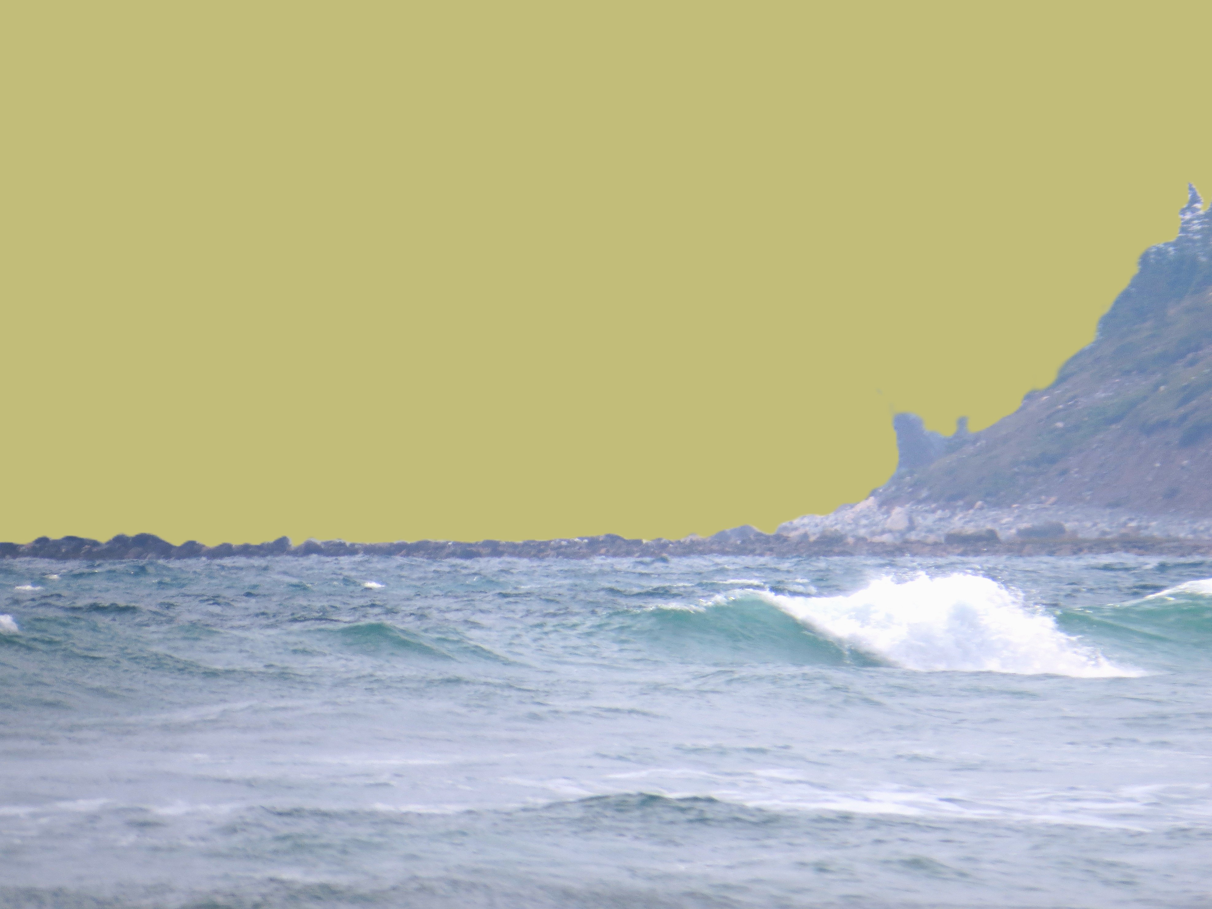
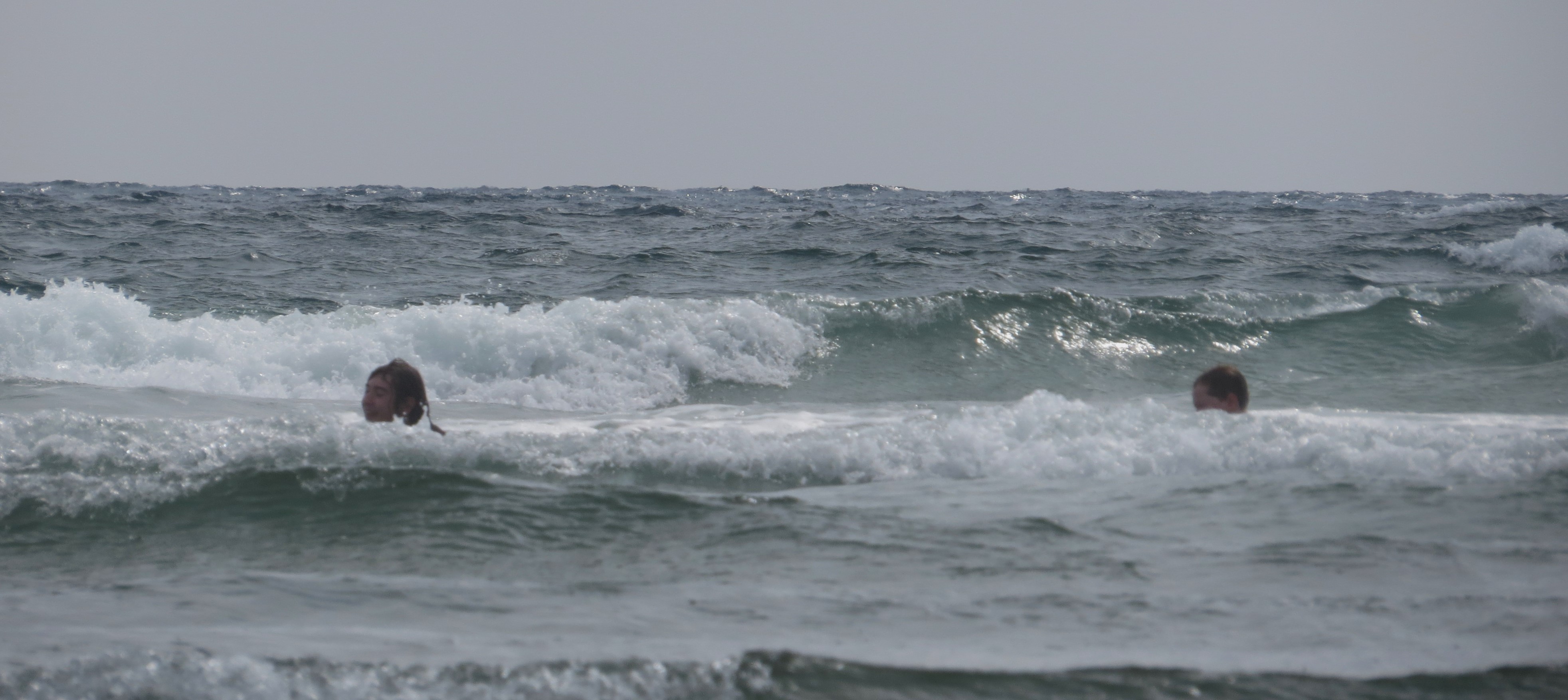
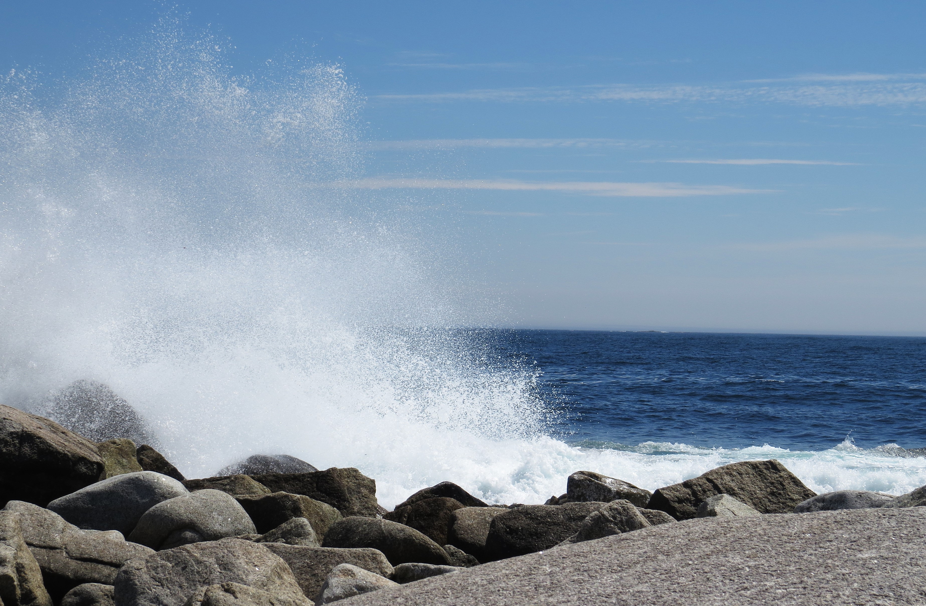
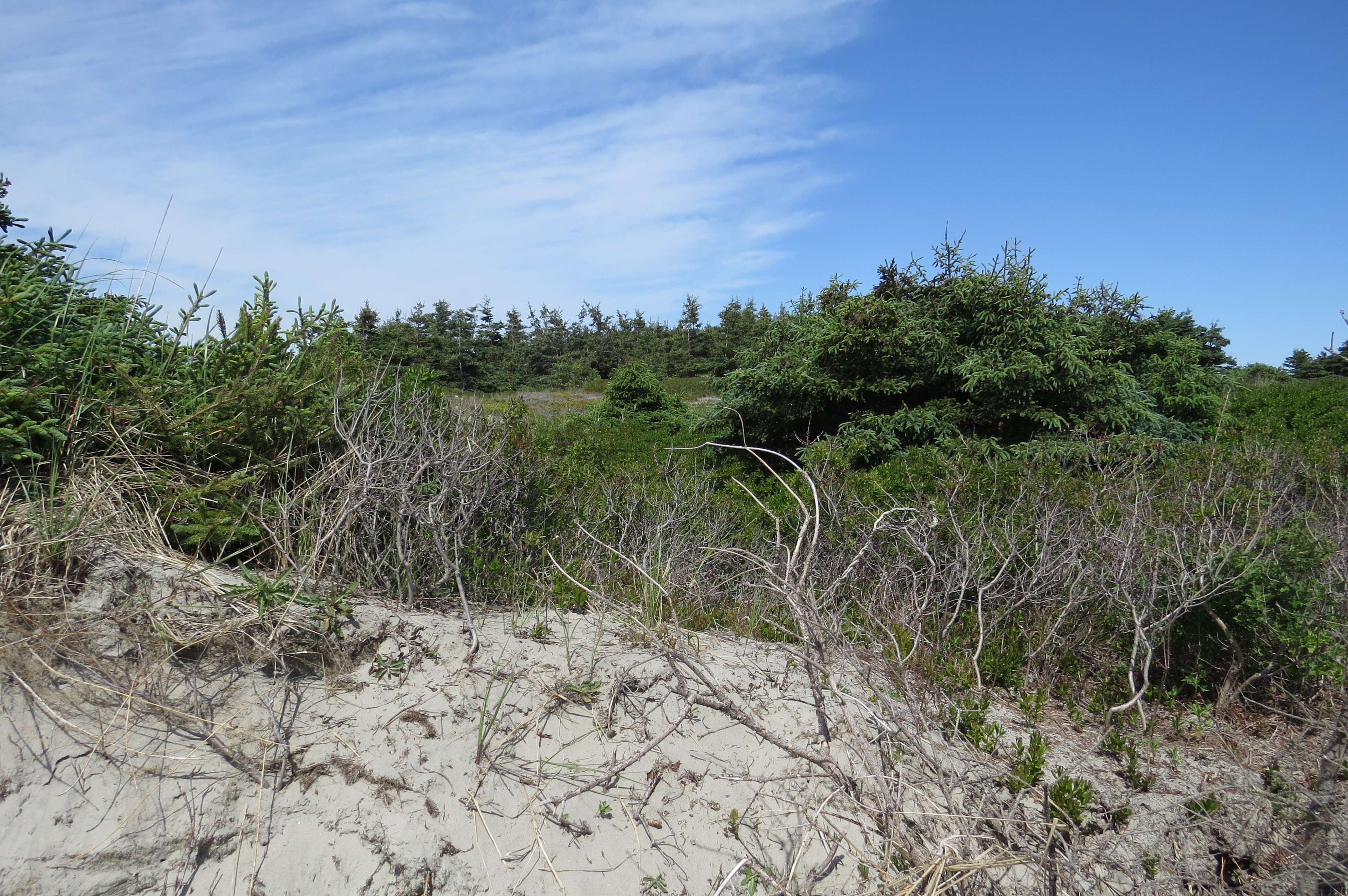
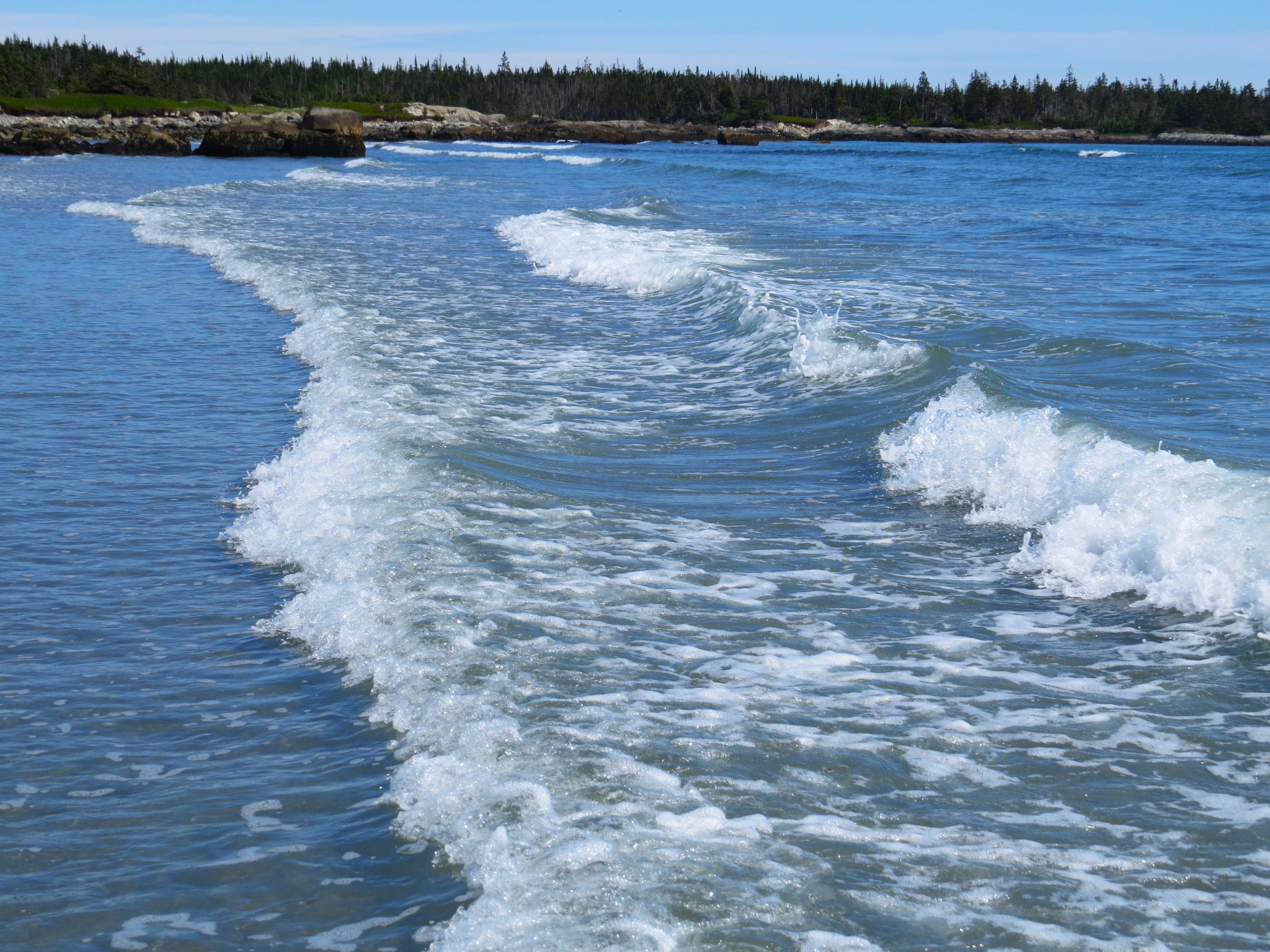
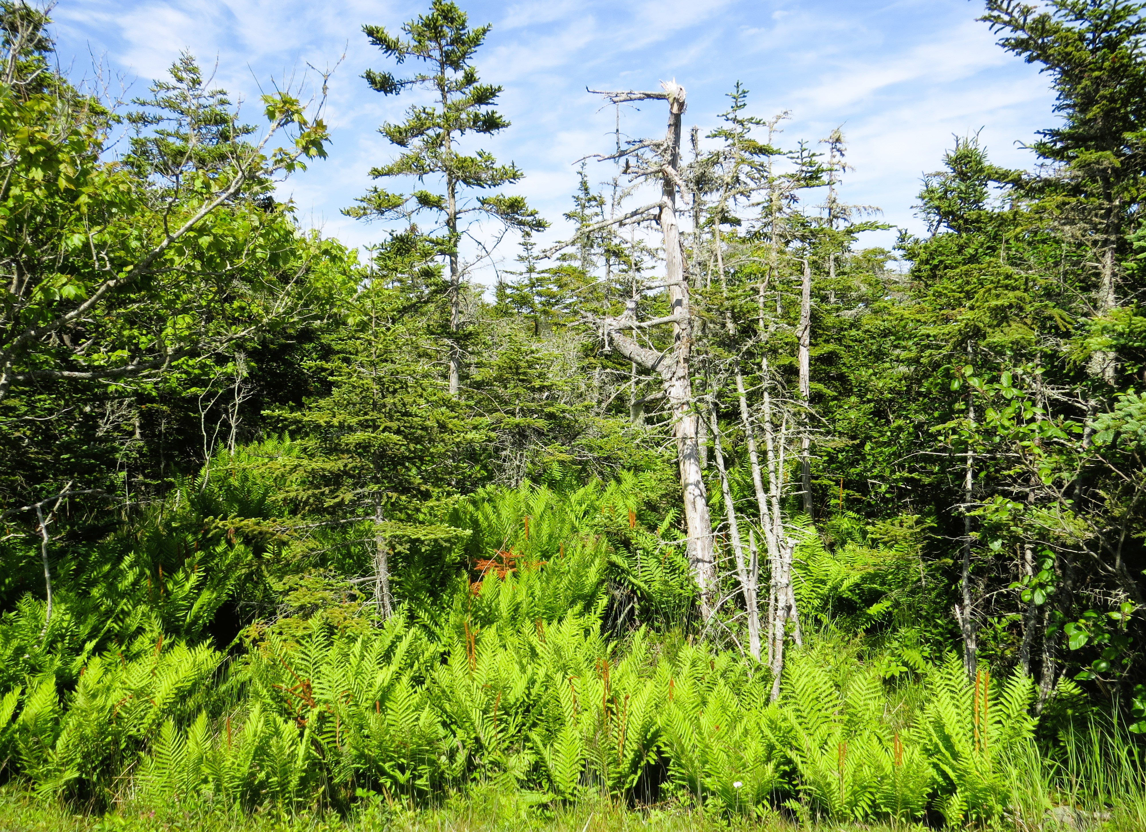
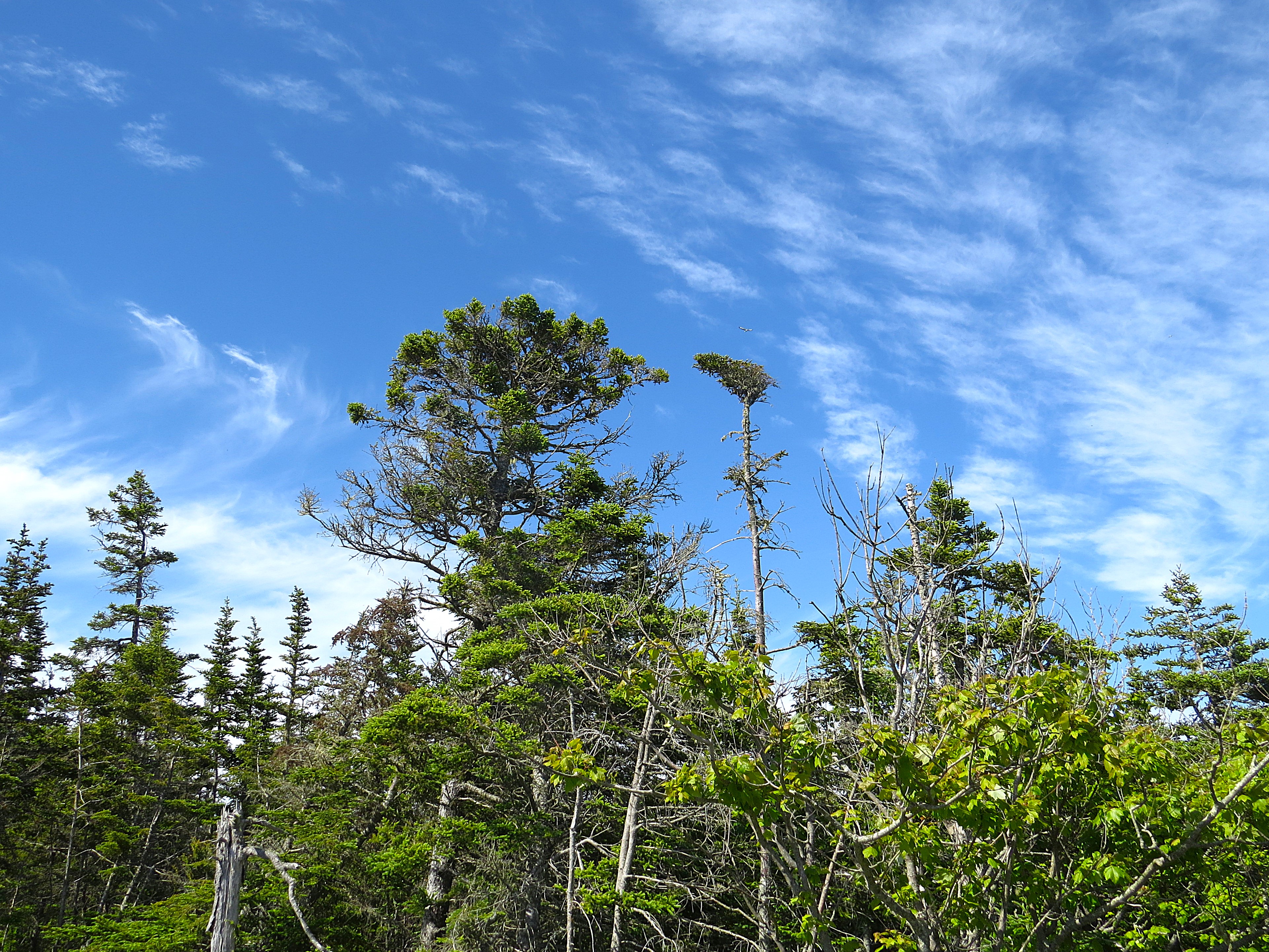
Moje podróże po Nowej Szkocji w tym roku są jednocześnie moimi pożegnaniami z tą prowincją. Pożegnaniami miejsc znanych i wielokroć odwiedzanych. Ot, choćby ulubione plaże wielkich zatok wzdłuż Wschodniego Wybrzeża. Z szalejącymi wielkimi falami Atlantyku, z wijącą się, jak wąż w trawach wydm, czarną nitką szosy nr 207 i 107 – po jednej stronie błękitna stal Atlantyku, z drugiej gęste, ale niskopienne i rachityczne lasy. Uwielbiam te plaże i grzywacze, na grzbietach których daję się nieść niczym drobny liść.

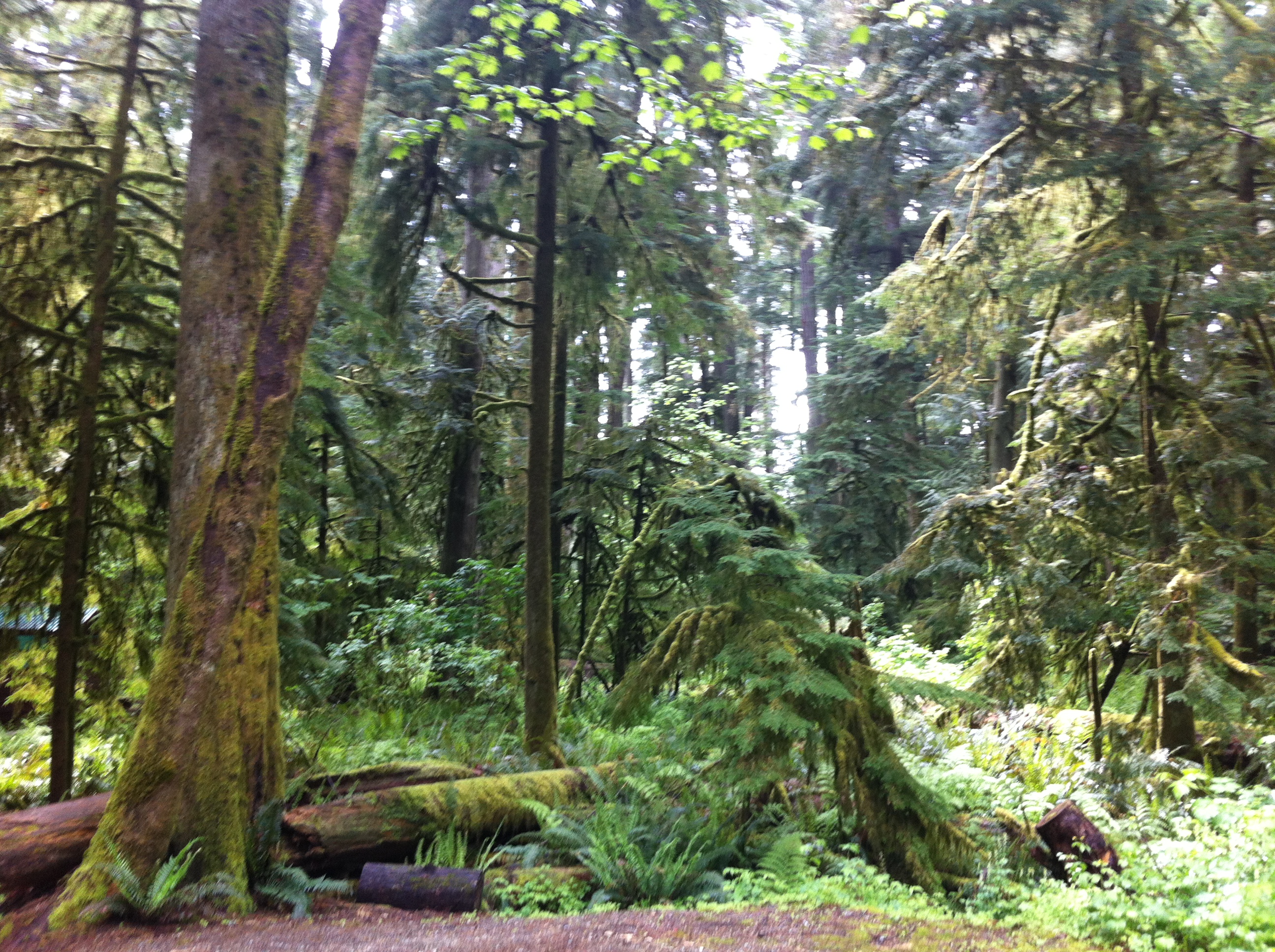
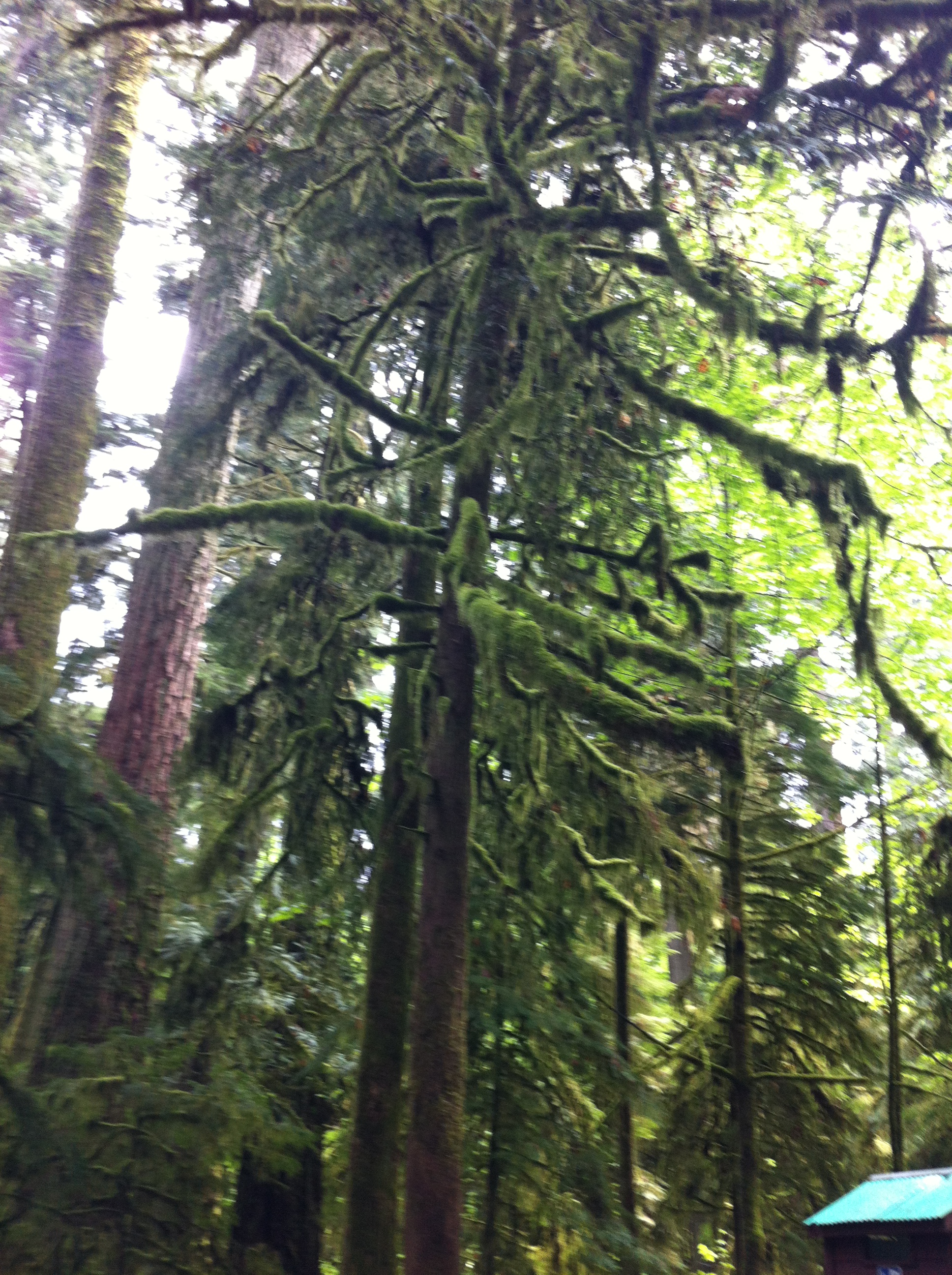
Zachodnie wybrzeże jest inne. Ta inność zauważalna jest od olbrzymiej St. Margarets Bay: na północny-wschód owa rachityczność lasów i rachityczne też, zapomniane niekiedy miejscowości i osady; na południowy zachód lasy bardzo gęste, rosłe i potężne, a miejscowości zadbane, kolorowe. Odnosi się wrażenie, że zamożniejsze. Bez wątpienia (znając już tą prowincję dobrze) widać pewne różnice kulturowe. I faktycznie tak jest. Północo-wschodnia Nowa Szkocja zamieszkana jest tradycyjnie przez ludność pochodzenia szkockiego, więcej – ludność tzw. Scottish Highlands. Byli to najbardziej (do dziś są w pewnym stopniu) ubodzy i najmniej wykształceni Szkoci. Odcięci od świata i mieszkający w odległych i ubogich kresach oraz na Hybrydach i Orkadach. Południowo-zachodnia Nowa Szkocja to w dużej mierze osadnictwo kontynentalnej Europy i Anglosasi środkowej i dolnej części wysp brytyjskich.

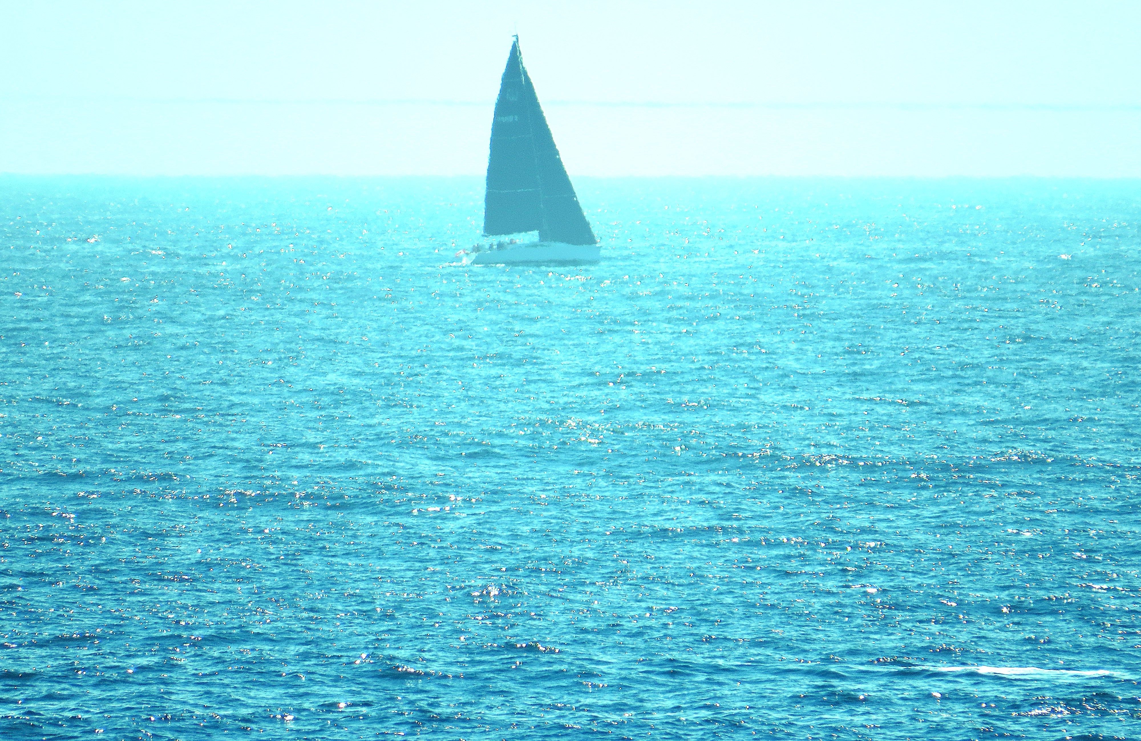
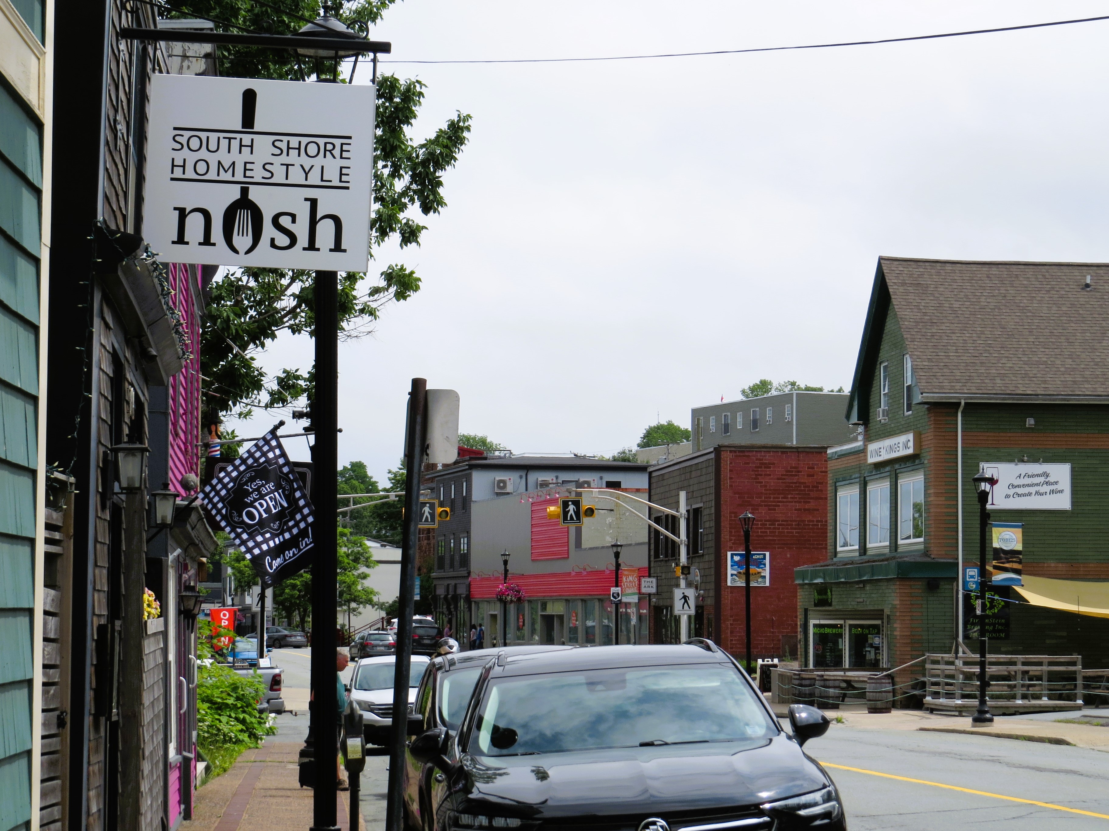
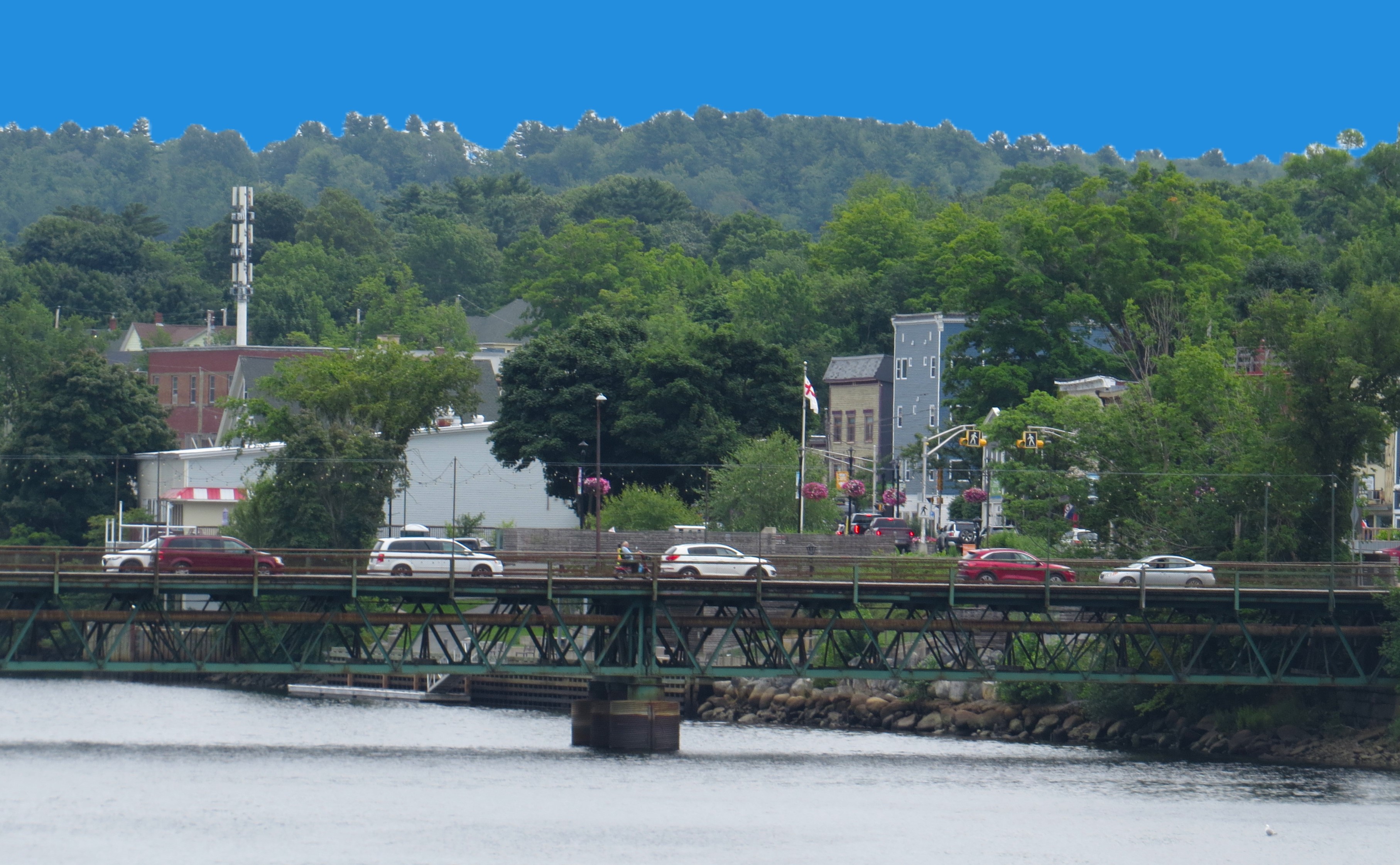
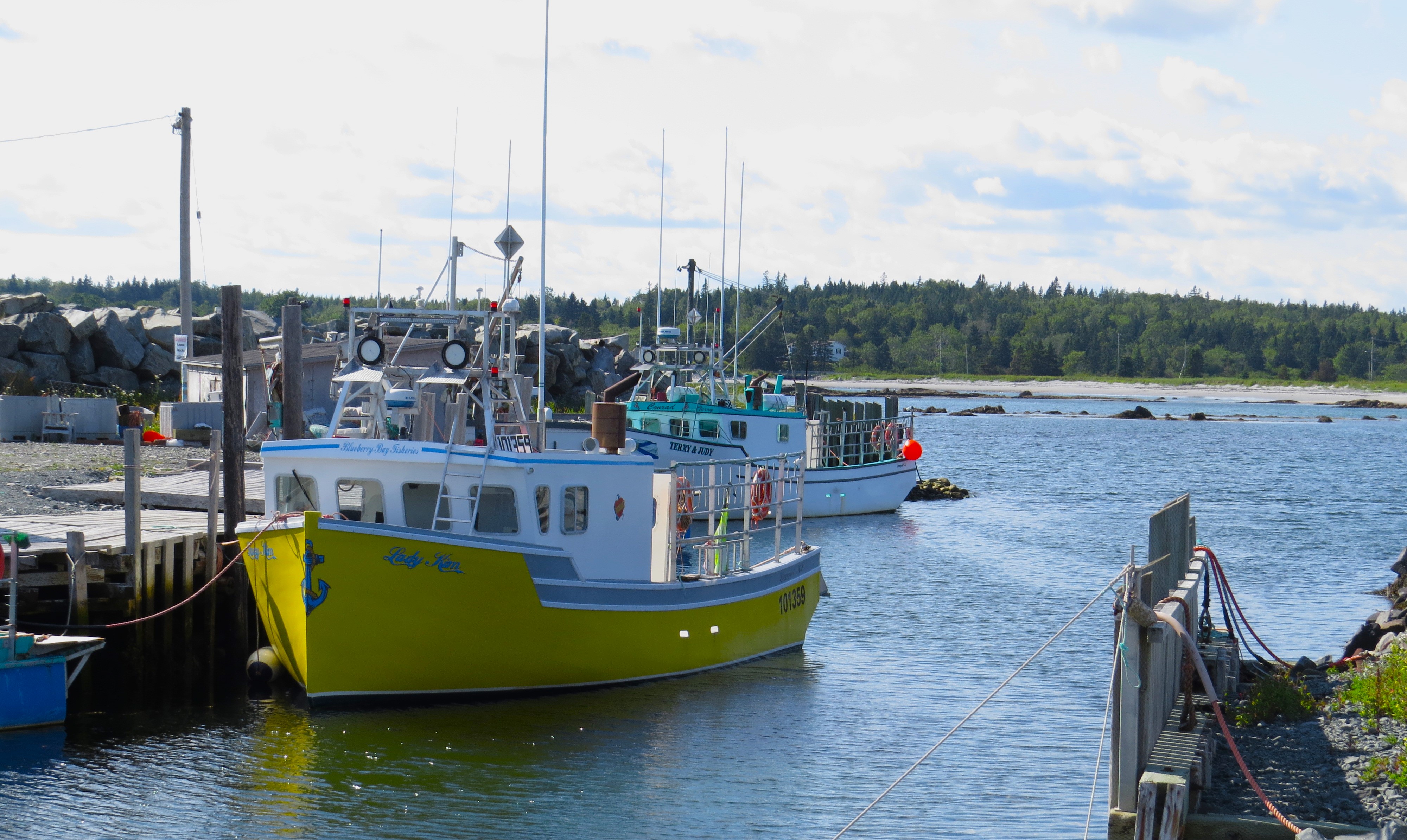
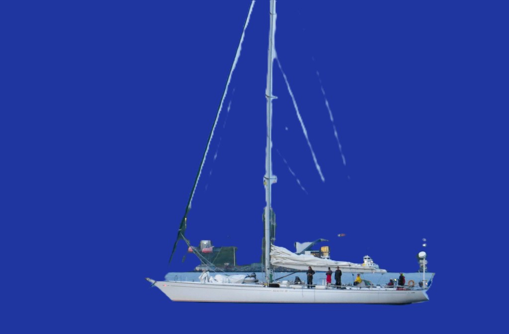
So far, I have never travelled past Mahone Bay and Lunenberg. My late husband did in 2018 with his two brothers and niece, while I was for few months in Europe. The beautiful highway 103 makes the travel very pleasurable and fast. I did stop in these two most picturesque cities in the entire province. One famous for very ‘artistic’ entrance – the moment you come out of wooded highway the panorama across the bay shows you a view like a massive painting of a magic town: colorful, with yachts, and three tall steeples of three magical churches (all different Christian denomination) standing next to each other. Little bit further in the bay a famous Oak Island, where people still dig to find a legendary heist of  Spanish gold taken from the Spanish galleon by pirates and hiding it supposedly thousands of miles from Caribbean seas on that island. A short drive from Mahone Bay lays on massive hill Lunenberg – home to famous schooner ‘Bluenose’. Famous for mercilessly beating the Yankees in yearly regattas a hundred years ago. I stopped in these towns mainly to re-visit them, say goodbye and walk the steps full of sentiment and memories of times we walked there together. John and me. Memories of our happy days. But it wasn’t the planned purpose, the aim of my drive. The aim was to drive to the very end, the southern most tip of the province.

To say it shortly and precisely: to go to West Berlin and East Berlin. Why not. Been to Berlin many times, like the city a lot, its vibrancy, its rich history. Walked in western part of it and eastern part of it. Usually, I would take a flight there, didn’t know that I could just drive there! LOL.

Szeroka i w dużej części czteropasmowa szosa 103 prowadzi do południowo-zachodniej granicy półwyspu. Stamtąd już tylko skok przez wodę i Ameryka. Ale po drodze są dwa najbardziej urocze miasta Nowej Szkocji: Mahone Bay i Lunenburg. Malownicze, jakby z ram obrazów romantycznych pejzażystów. Do miasteczek można jechać przepiękną boczną drogą (szosa nr 333 od Halifaksu, potem nr 3) nad samym wybrzeżem – ale to wydłuża jazdę kilkakrotnie i bez noclegu o osiągnięciu celu mowy być nie może. Zatrzymałem się w tych miasteczkach-perełkach ze względu na sentyment głównie, moje liczne wspomnienia ze wspólnych wycieczek tam z Johnem. Potem, po wyniszczającej chorobie, która go mi zabrała, byłem tam jeszcze z rodziną z Europy: z siostrzeńcem z Warszawy, który przejechał do mnie po pogrzebie Johna i siostrzenicą z Hamburga, która przyjechała z rodziną latem tamtego smutnego roku.  Tym razem już sam i chyba ostatni raz.

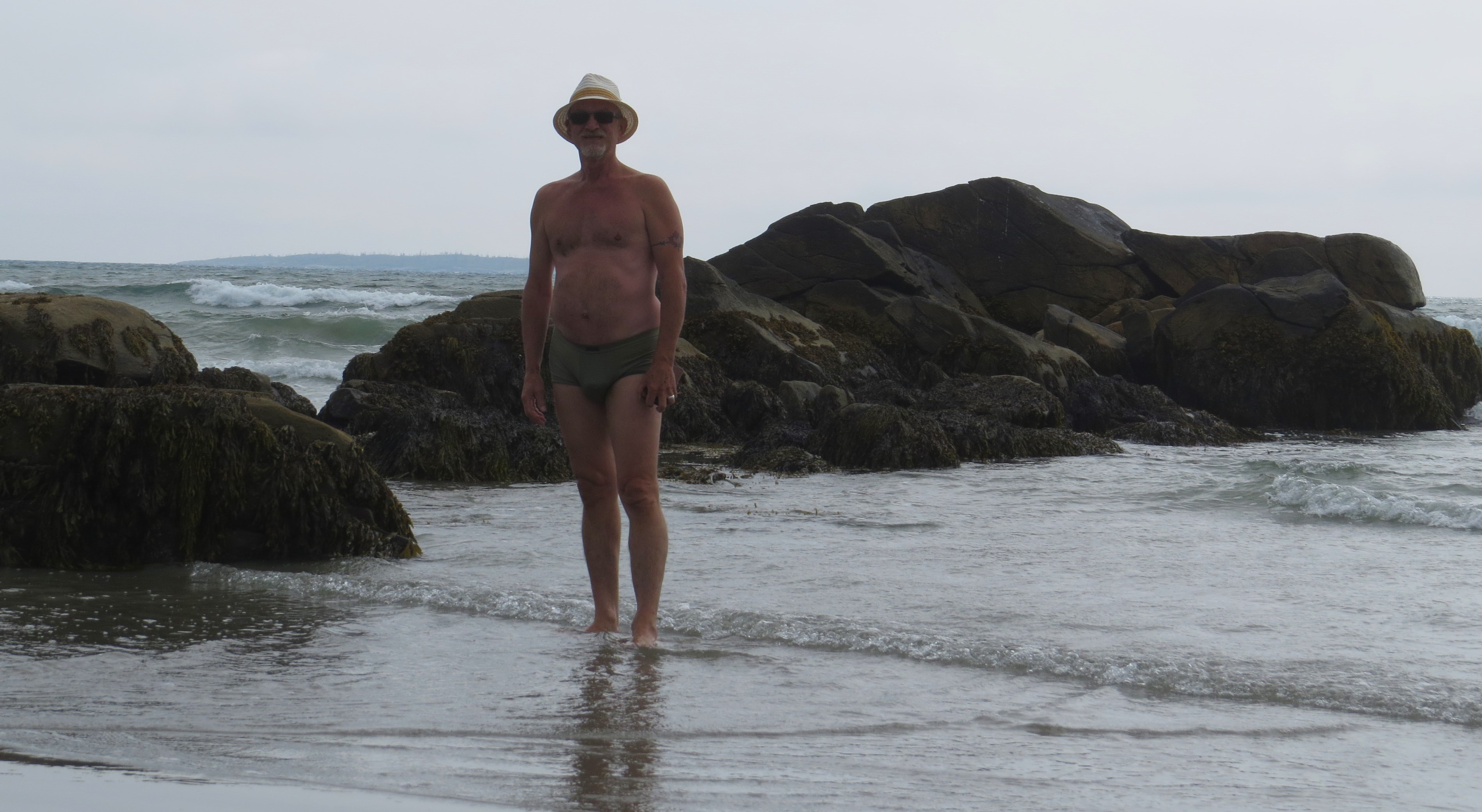
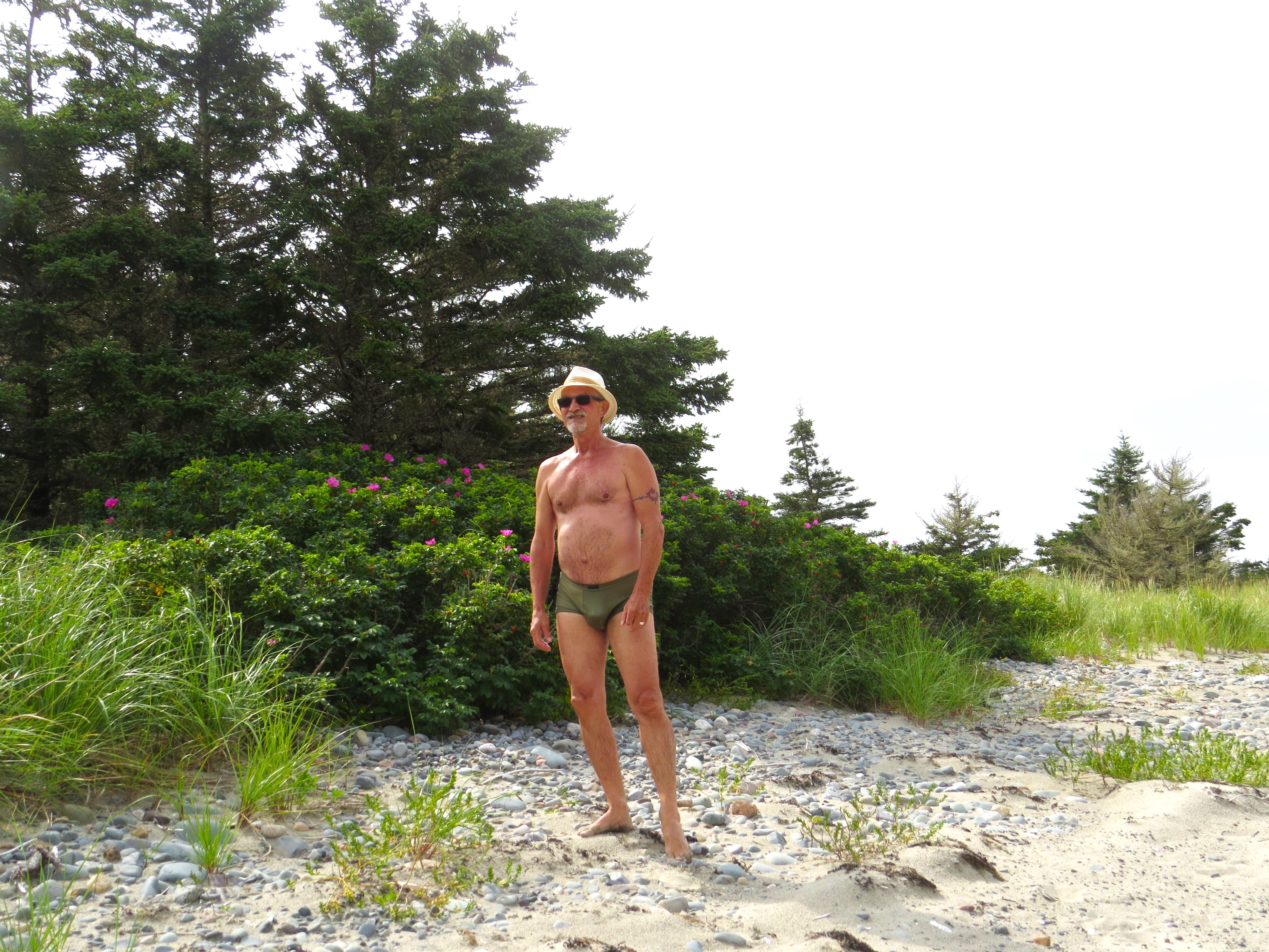
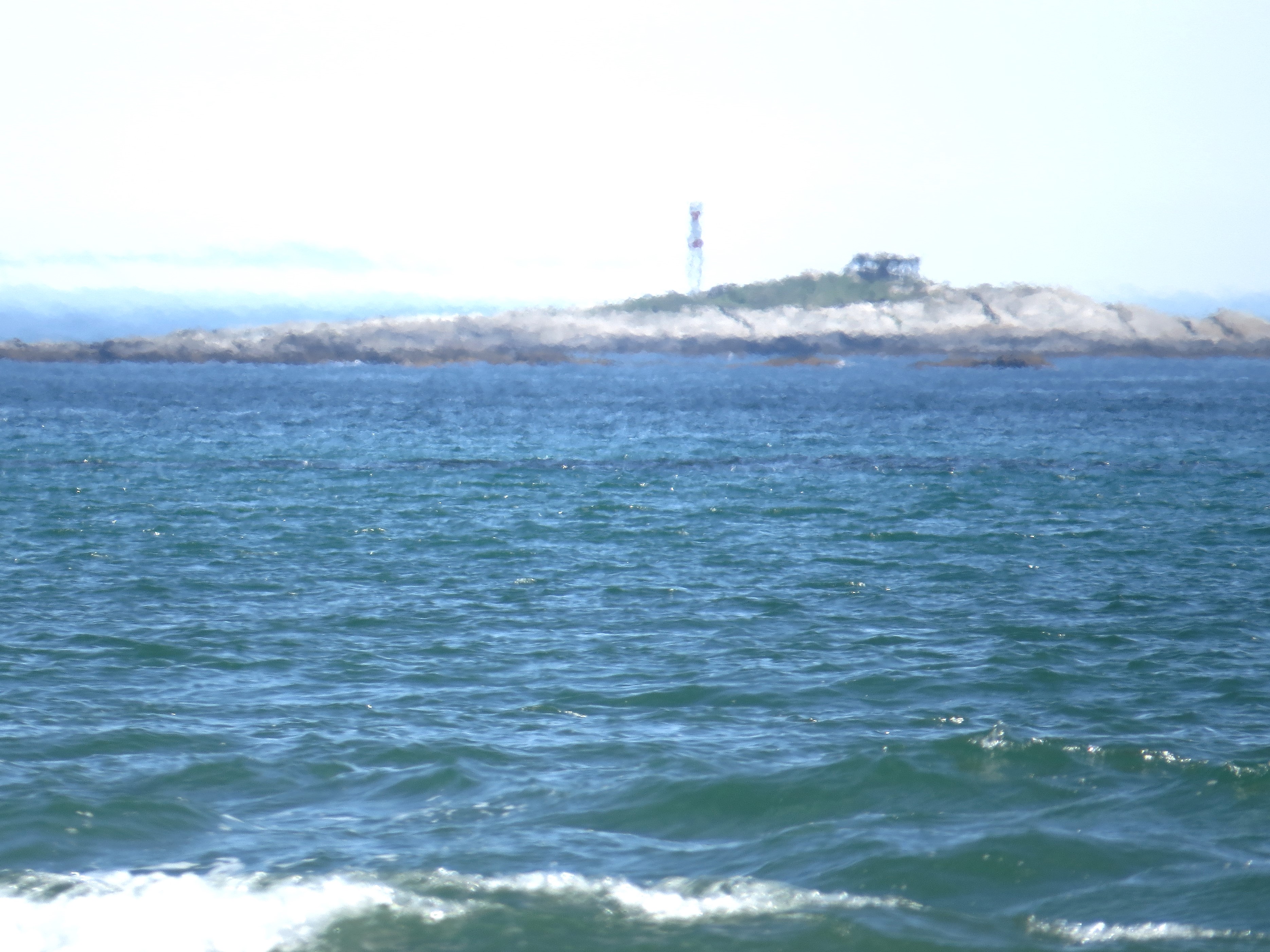
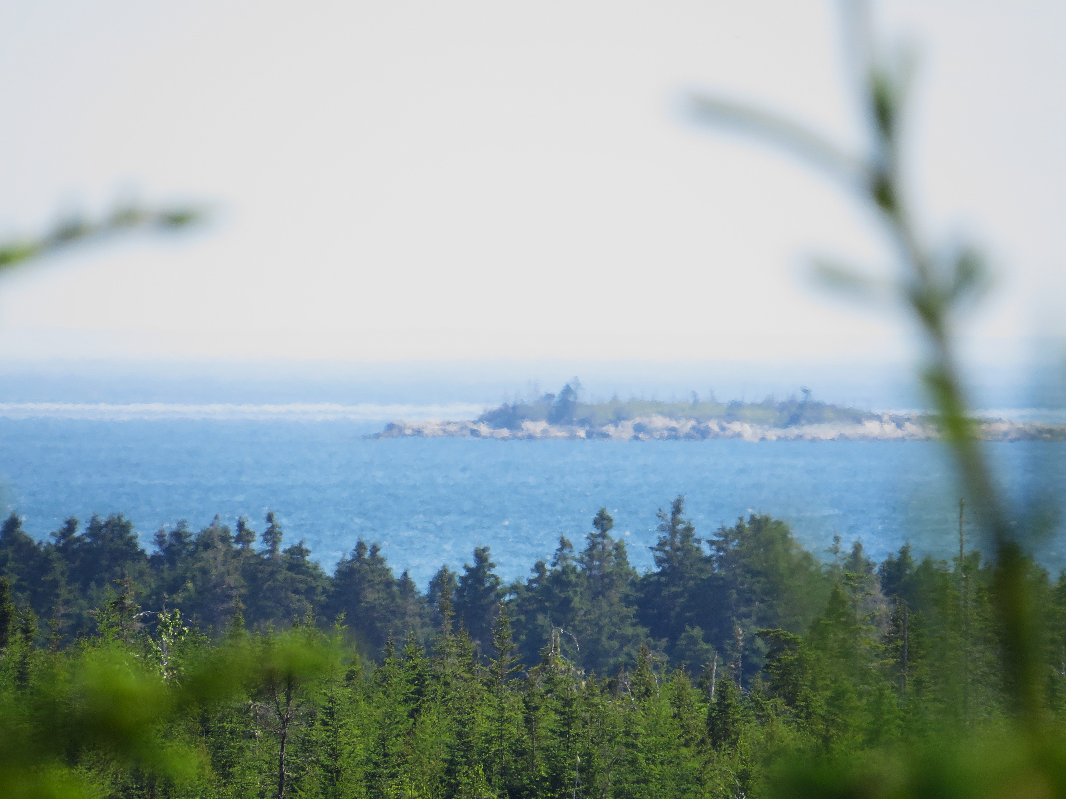
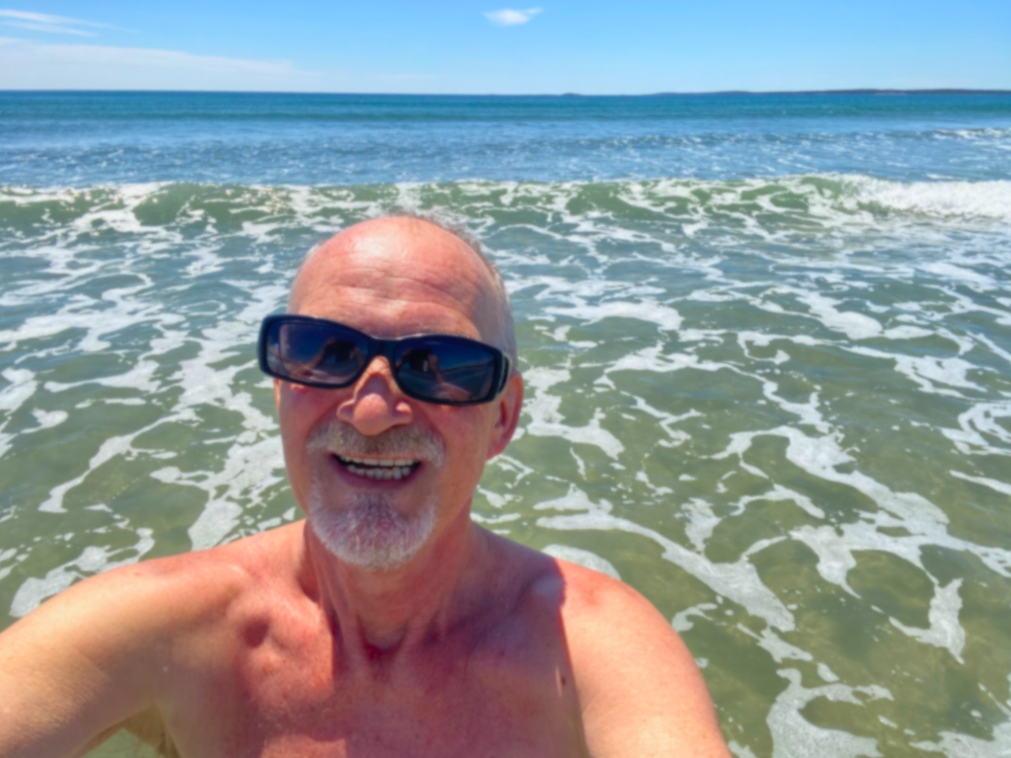
Ale cel wyprawy był inny. Zdecydowałem tego dnia wykapać się na plaży w Berlinie. Konkretnie we Wschodnim Berlinie. No to wsiadłem w samochód i pojechałem do Berlina. Jak można samochodem z Nowej Szkocji pojechać do Berlina? Bardzo prosto – jechać tak daleko, aż dalej nie można. Do końca świata. Tego nowoszkockiego świata, gdzie ląd się kończy i zaczyna Atlantyk a w oddali widać brzegi stanu Maine.

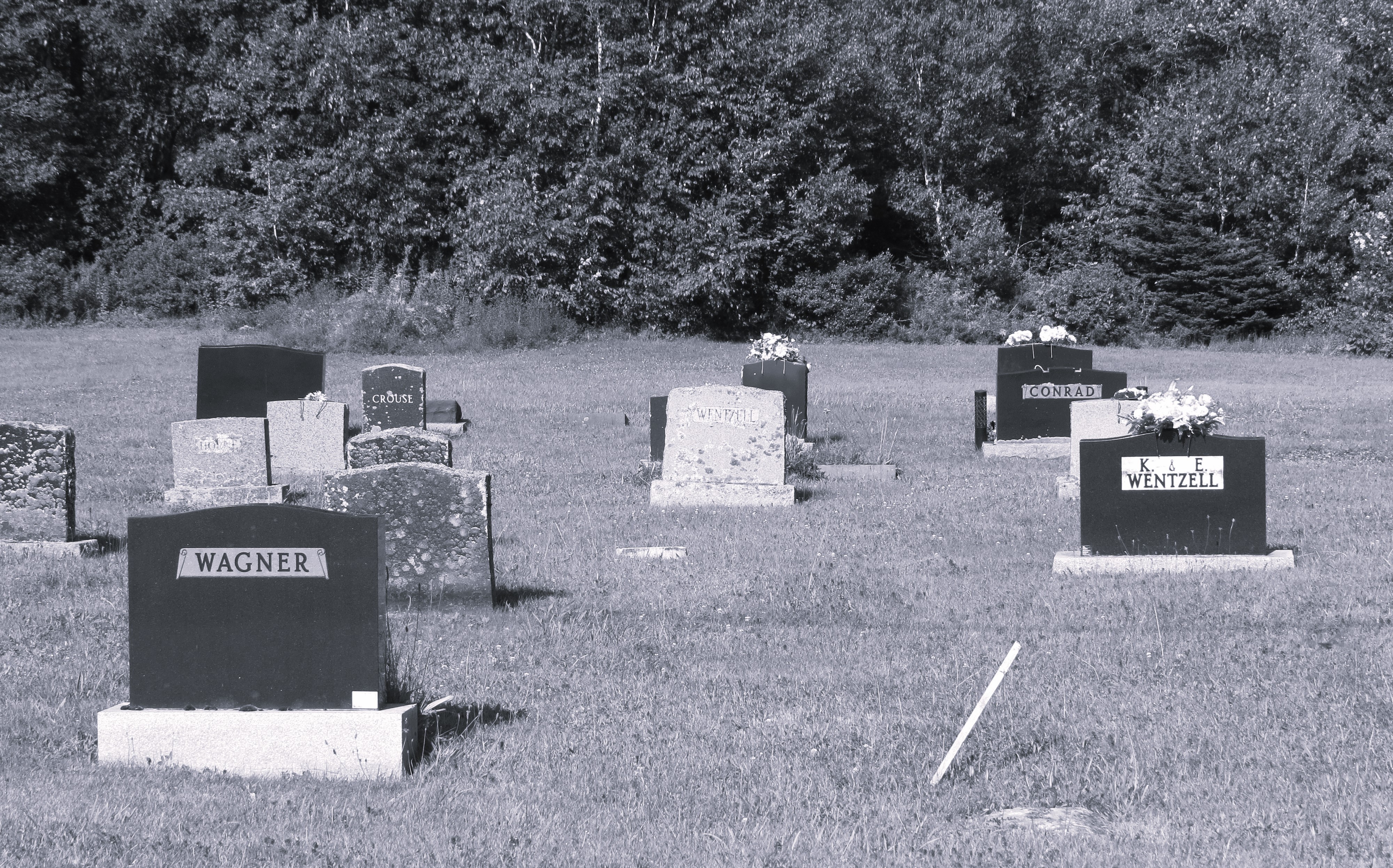
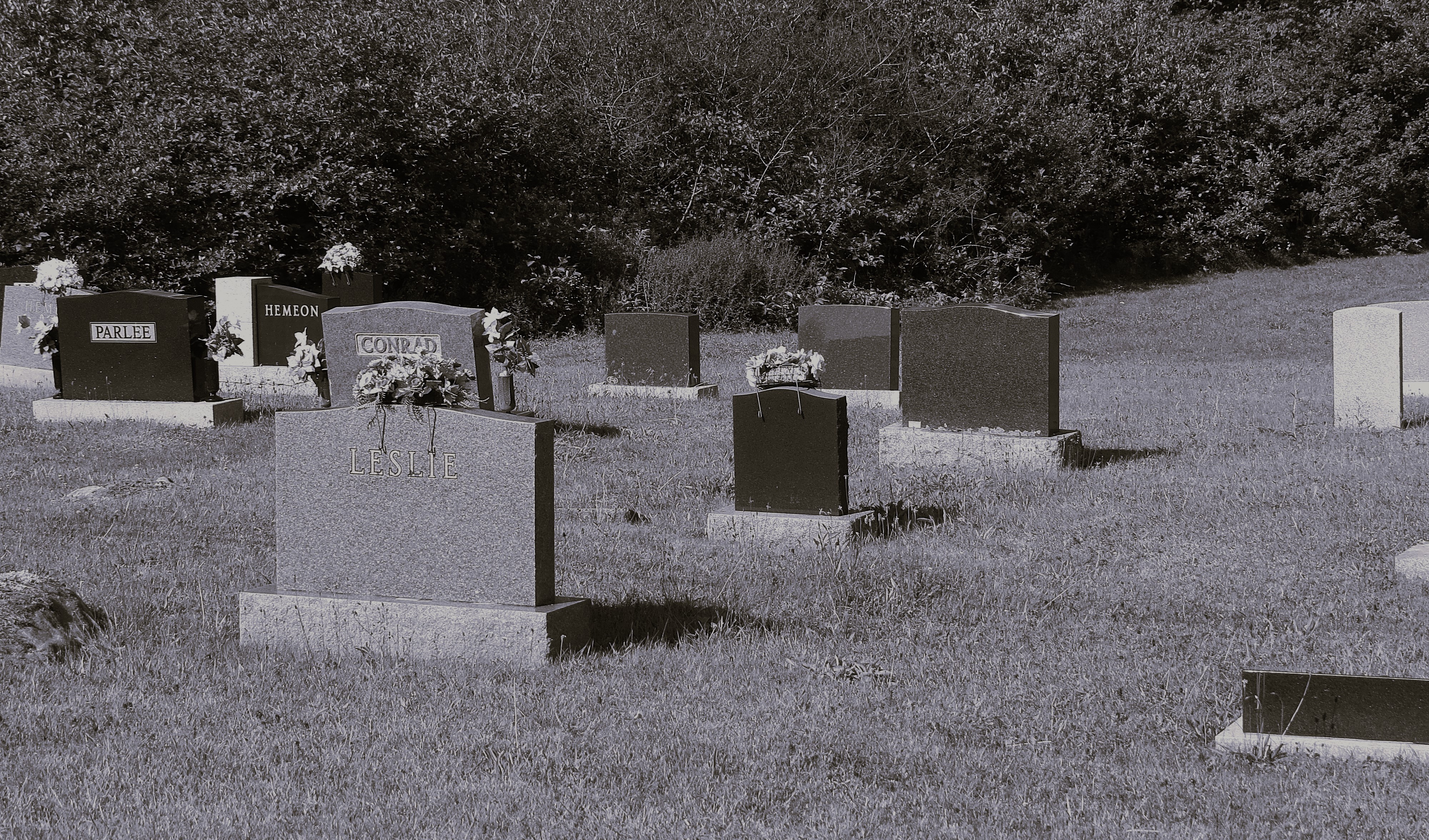
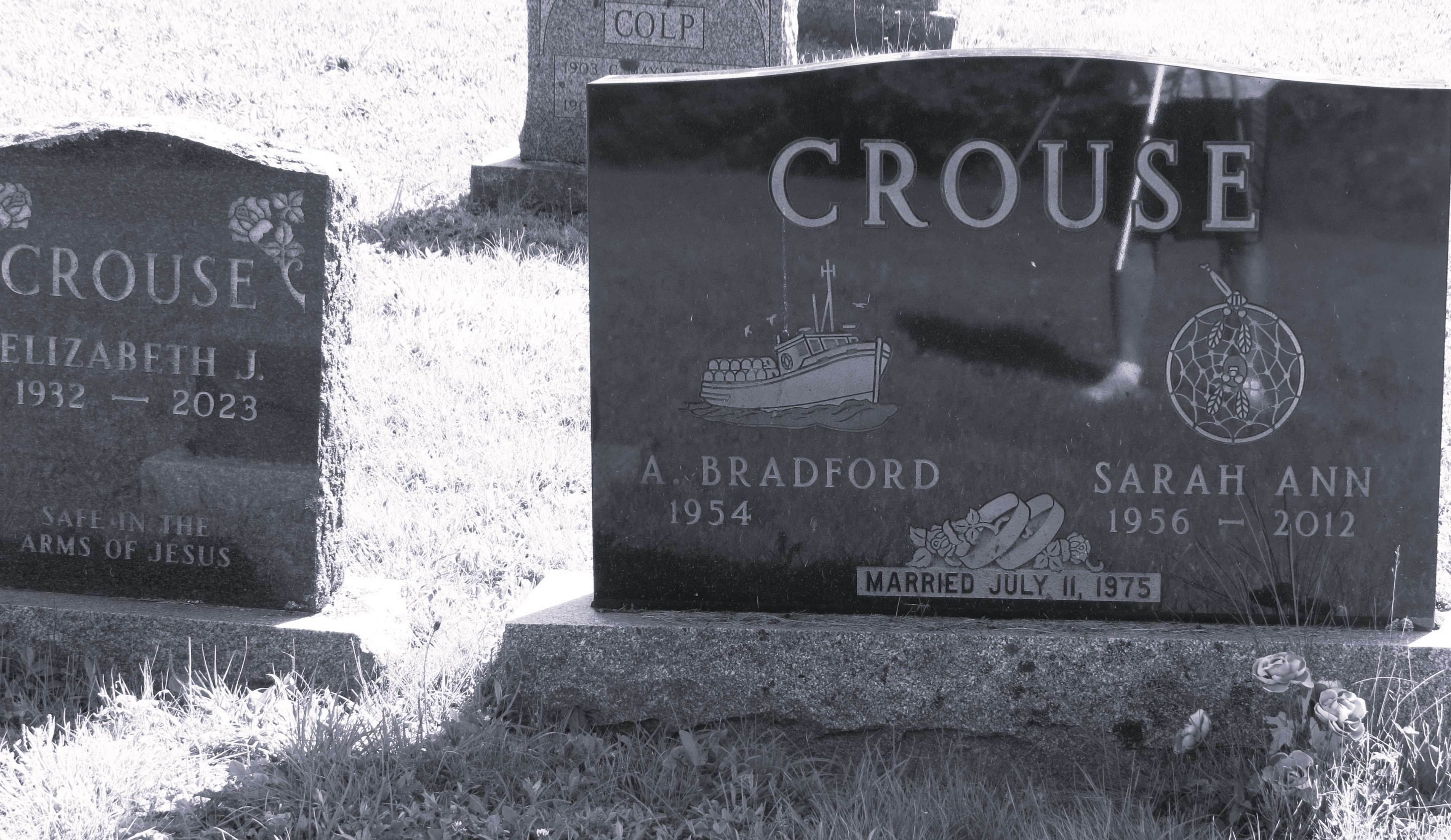
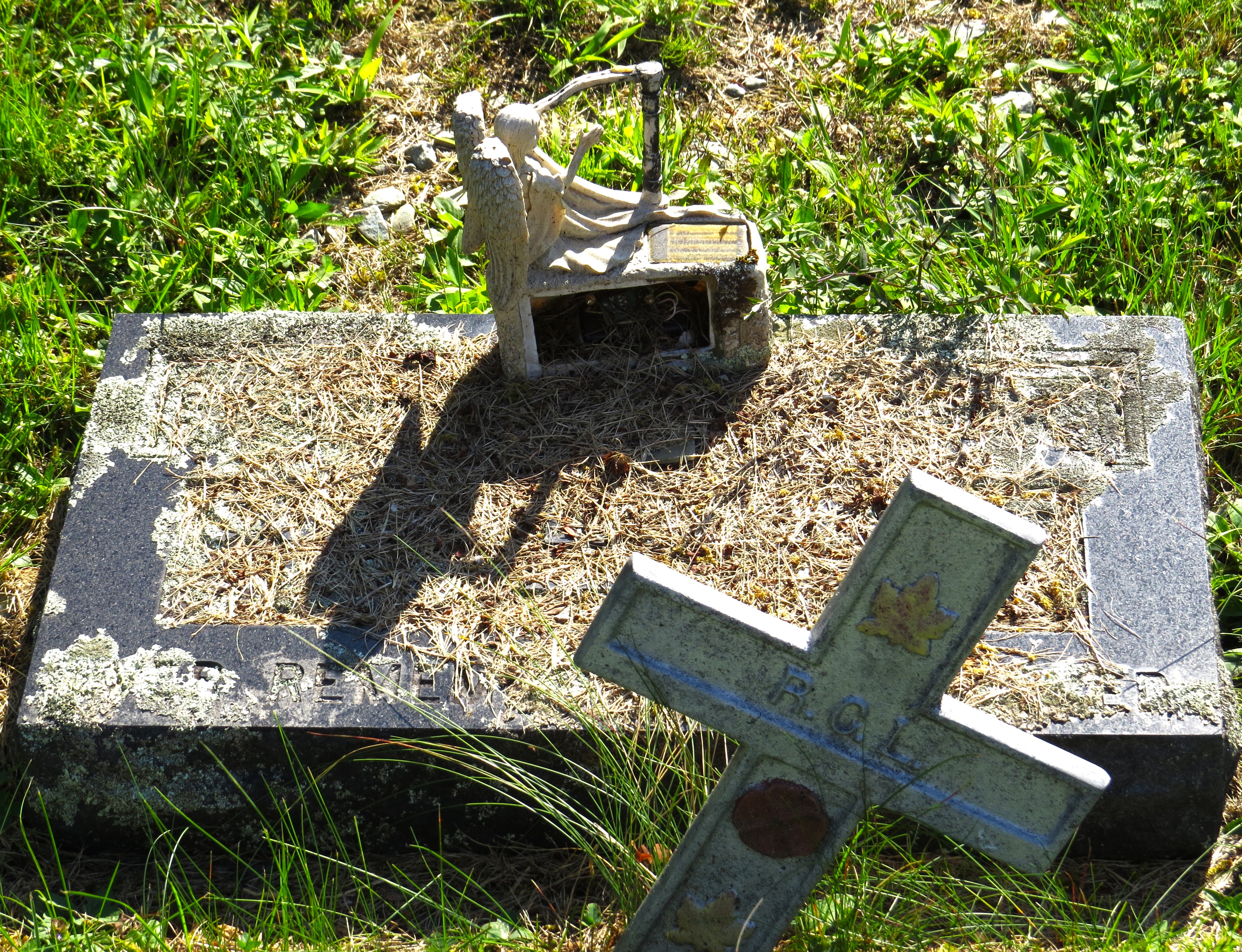
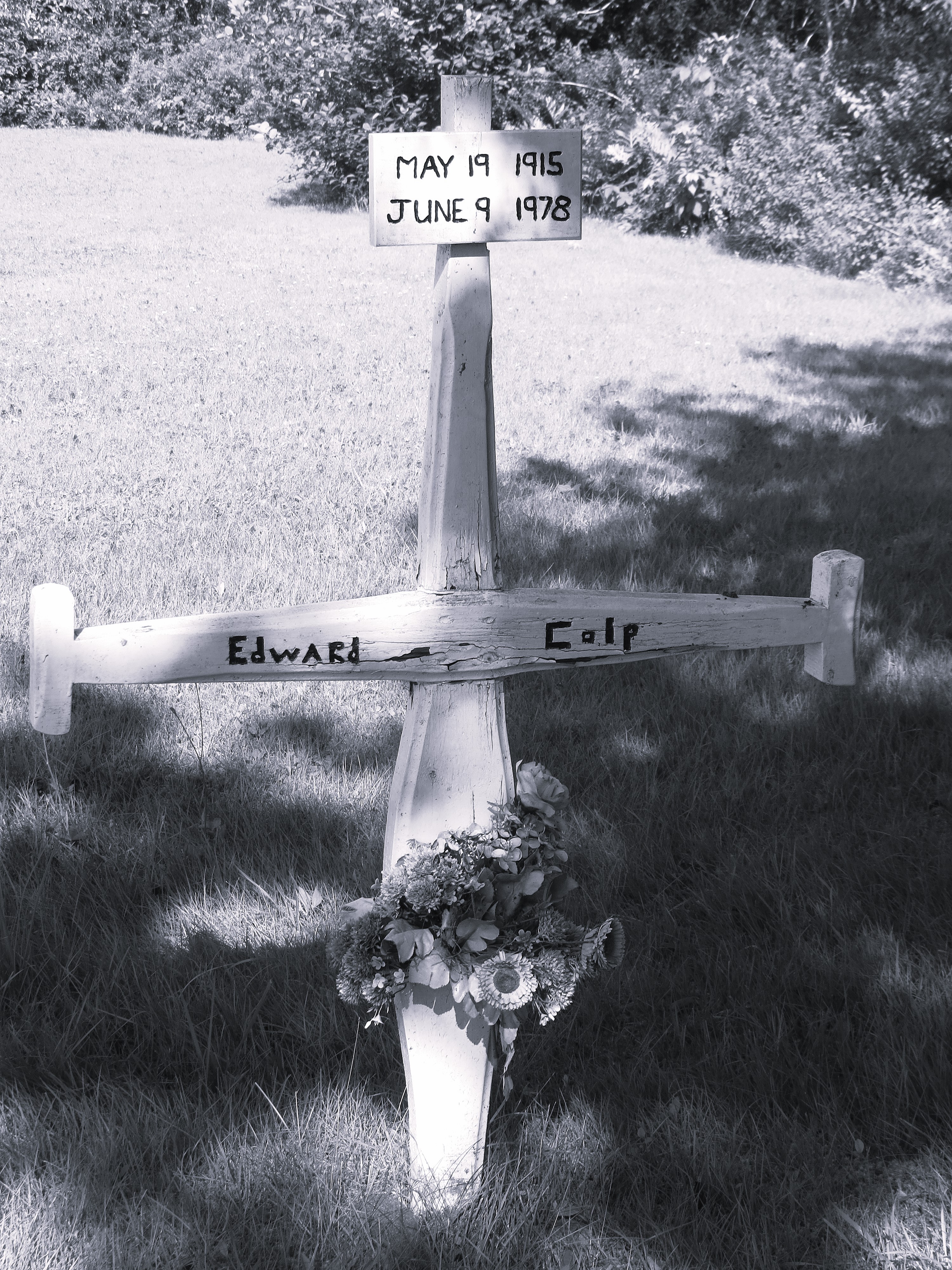
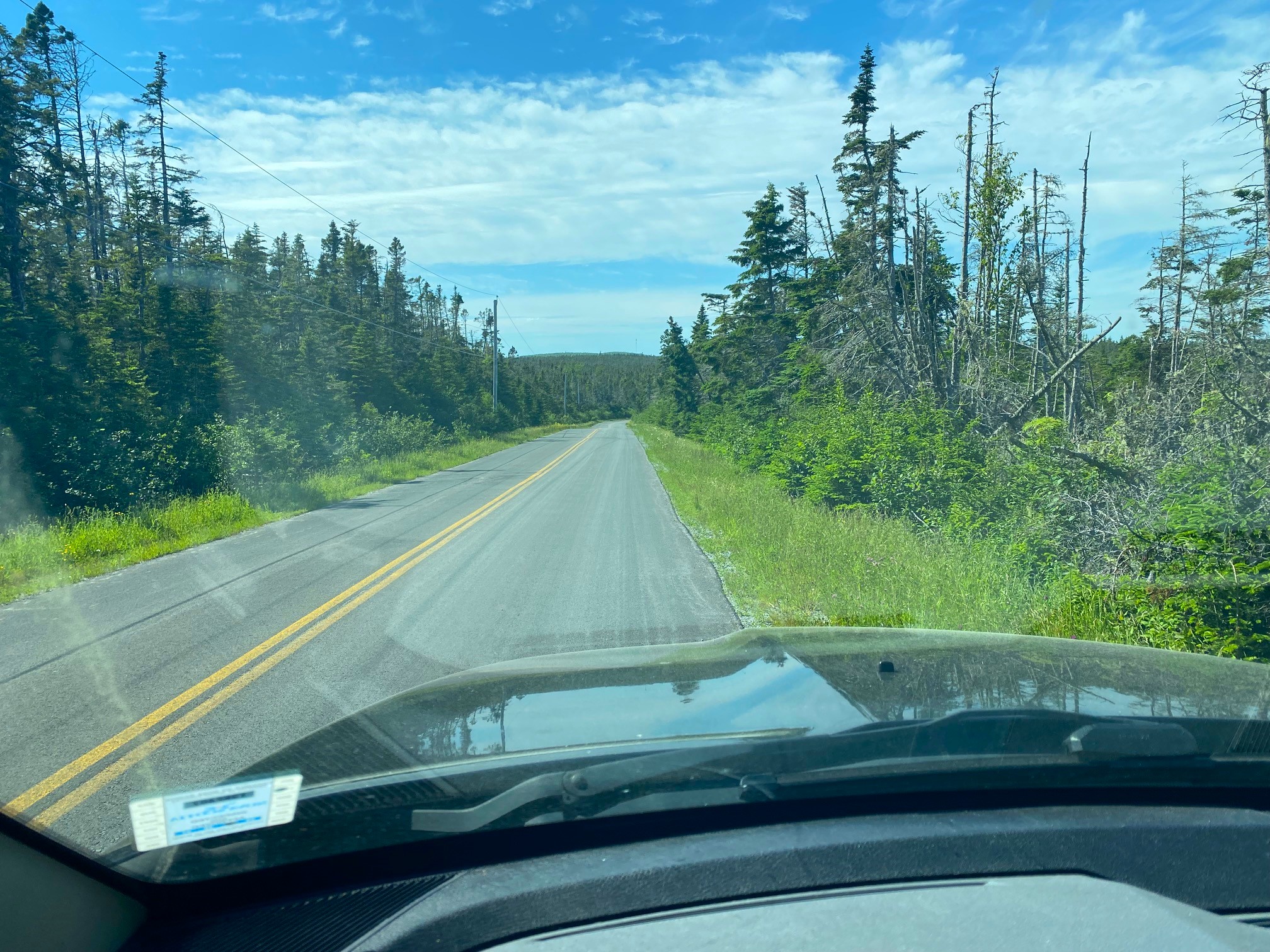
Najpierw jedzie się szosą 103 do rzeki Medwey i zaraz po jej przejechaniu skręcić w lewo w Port Medwey Road, dojechać do krzyżówki z Eastern Shore Road i skręcić w nią w prawo (od zjazdu z szosy 103 droga prowadzi prawie bez przerwy przez lasy i nie ma tam w zasadzie osad jakichkolwiek). W pewnym momencie, blisko kilku dobrze zagospodarowanych domów, po lewej stronie drogi jest mały cmentarzyk Zachodniego Berlina.

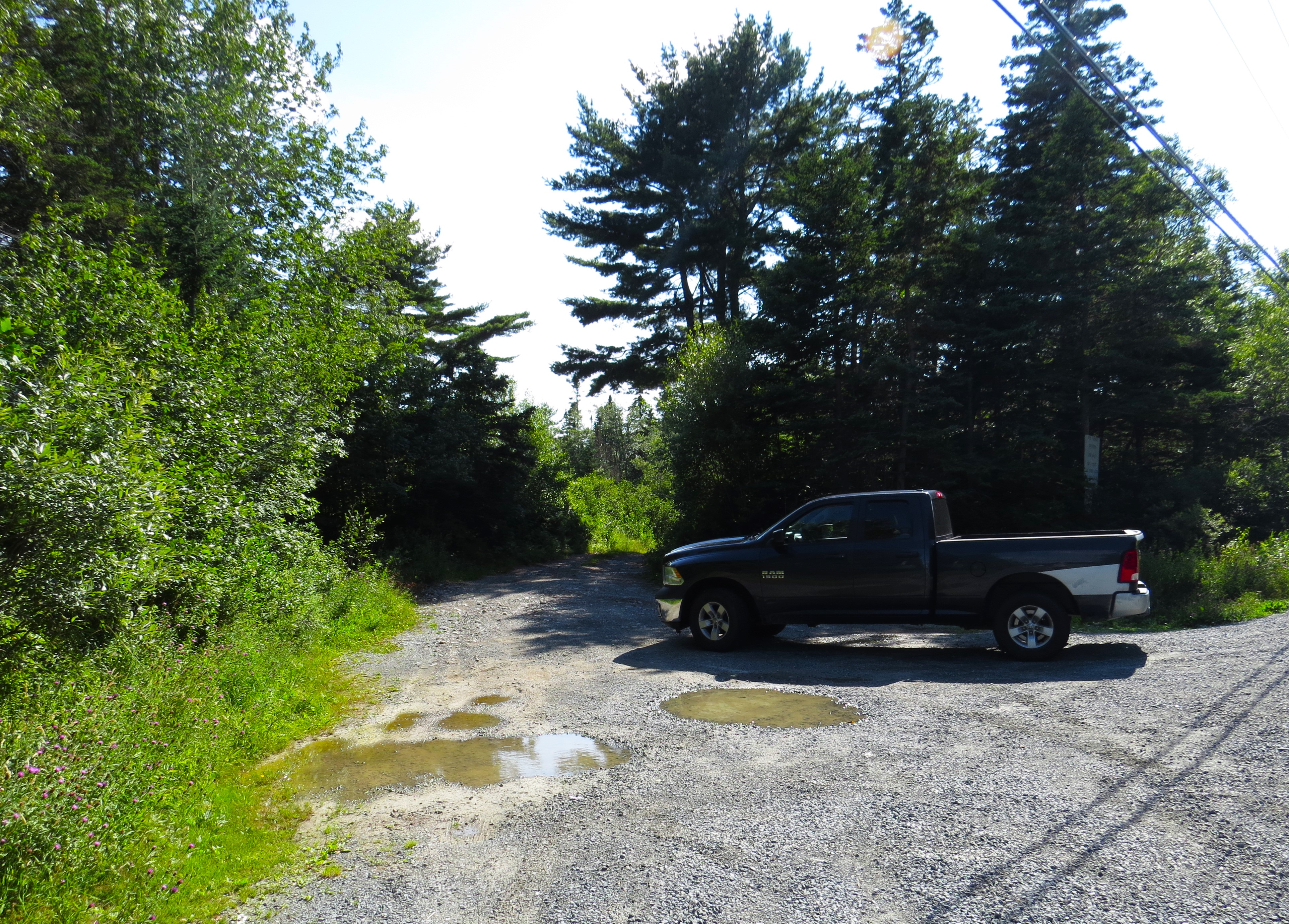
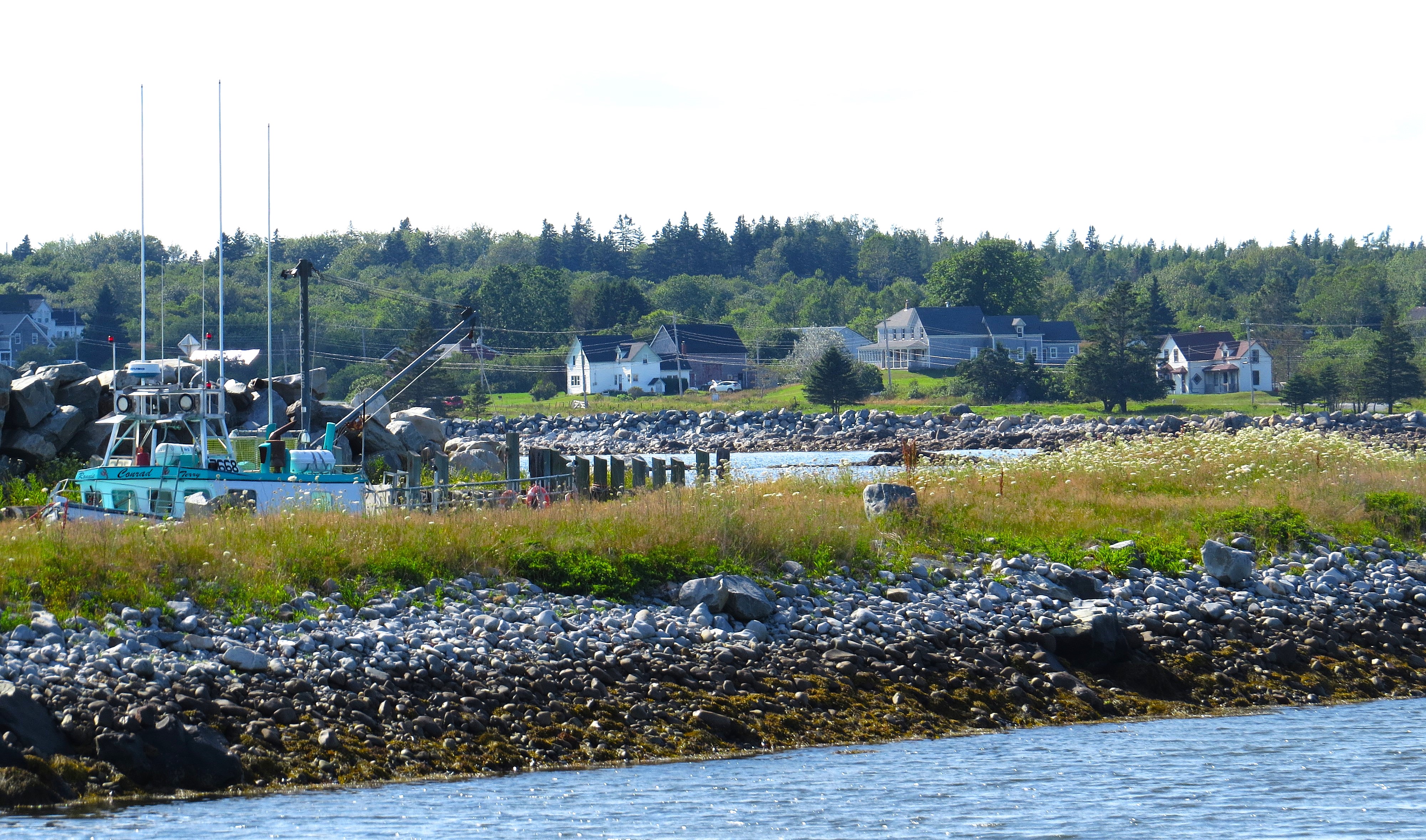
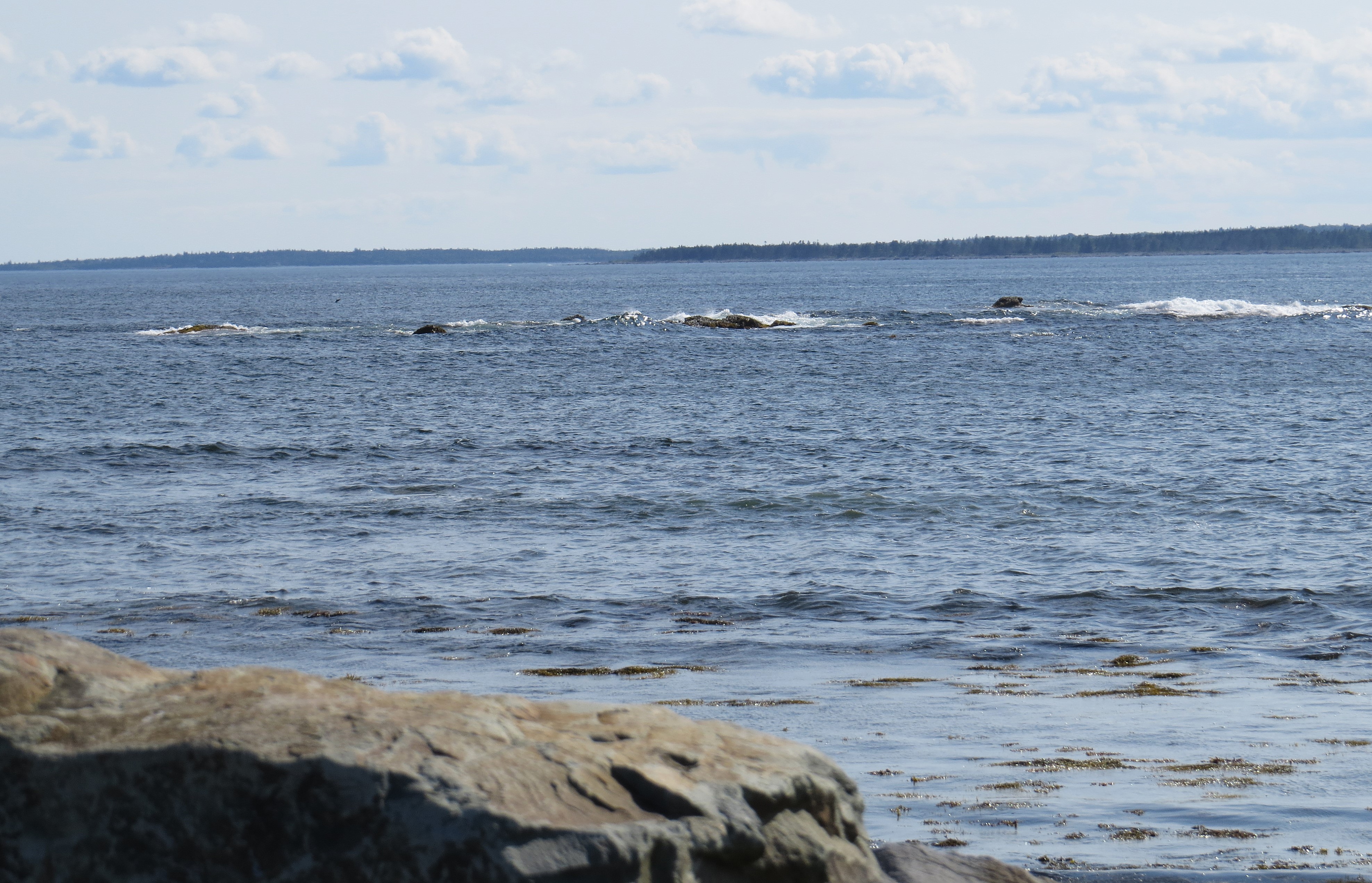
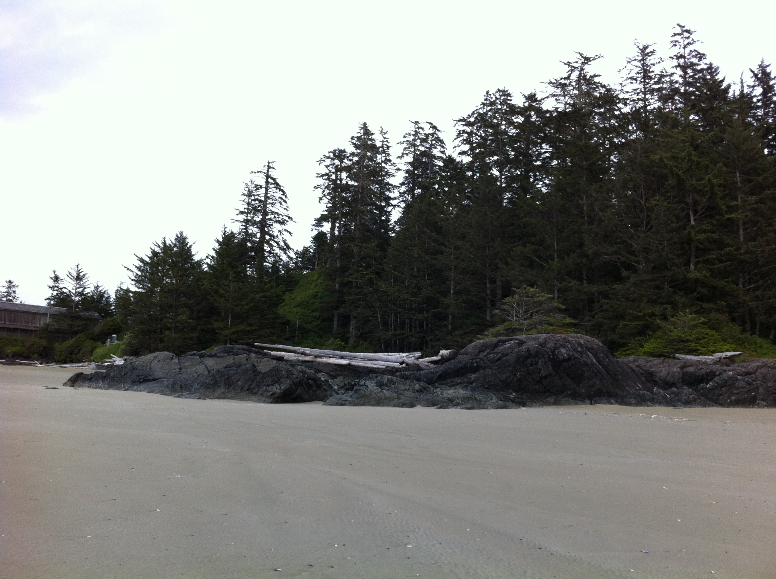
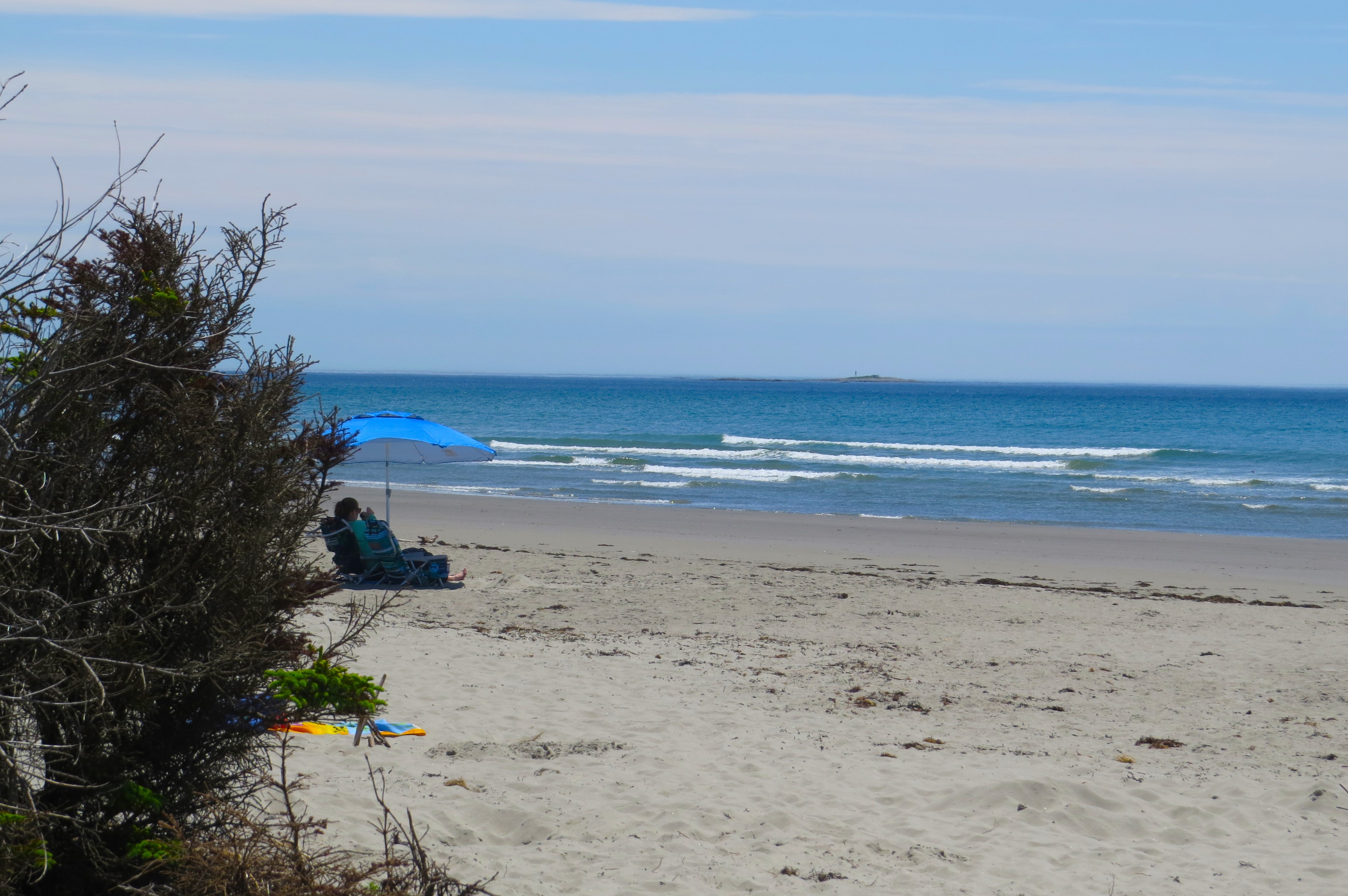
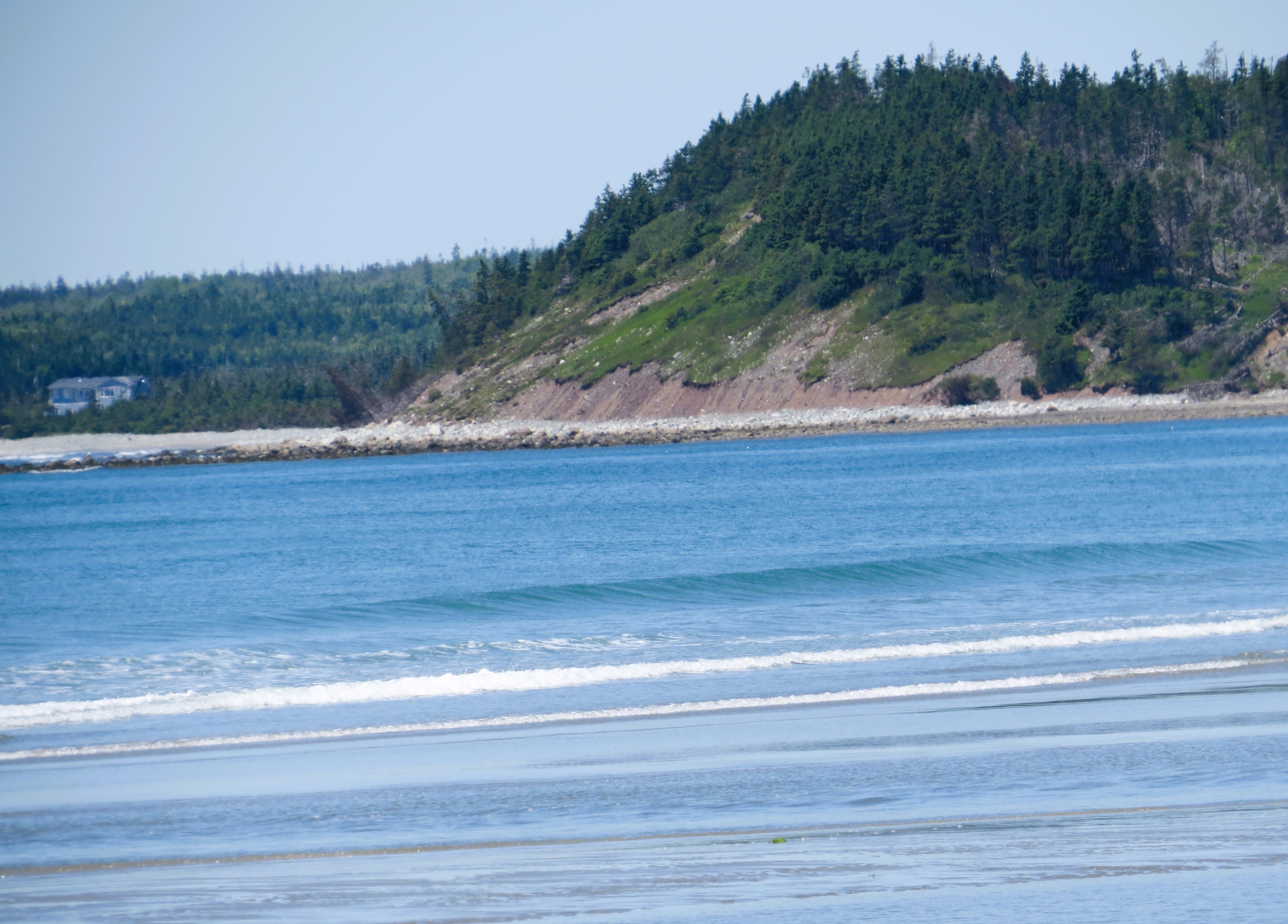
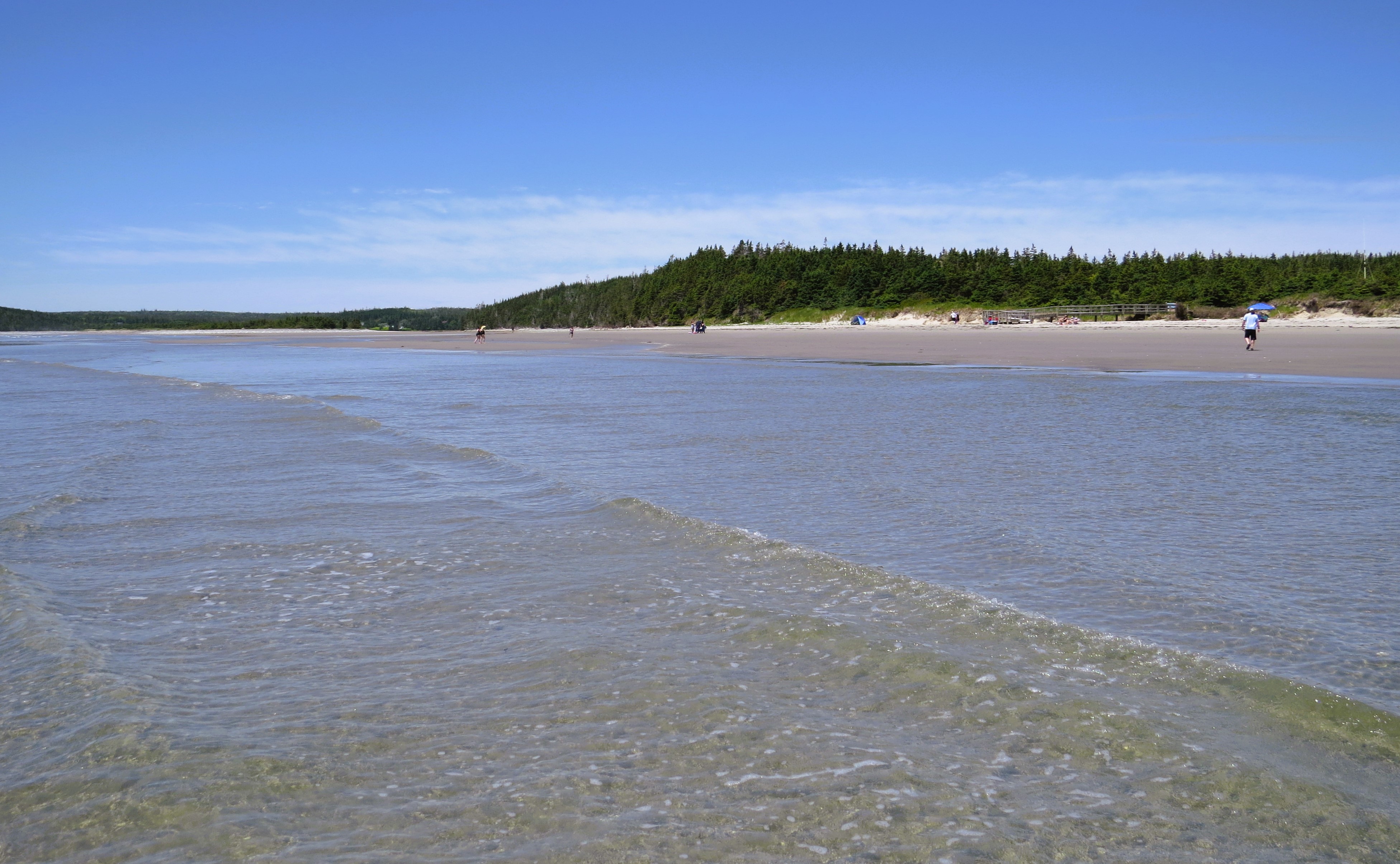
Close to the end of our destination, off the small Eastern Shore Road begins the sparsely populated community of West Berlin. There is a local cemetery with the date of first burial being 1959. Therefore it is clear that the community begun either after the 2 world war or shortly before or during the war. There is nowhere any other close by settlement where people could be buried. The road ends at intersection with East Berlin Road, turn left here into it. From here the asphalt road end and the rest is gravel. After a very short distance there is a smal West Berlin Road to the right leading to small fishermen Warf. It is a very short detour but worth visiting as that is exactly where you can see the coast of USA.

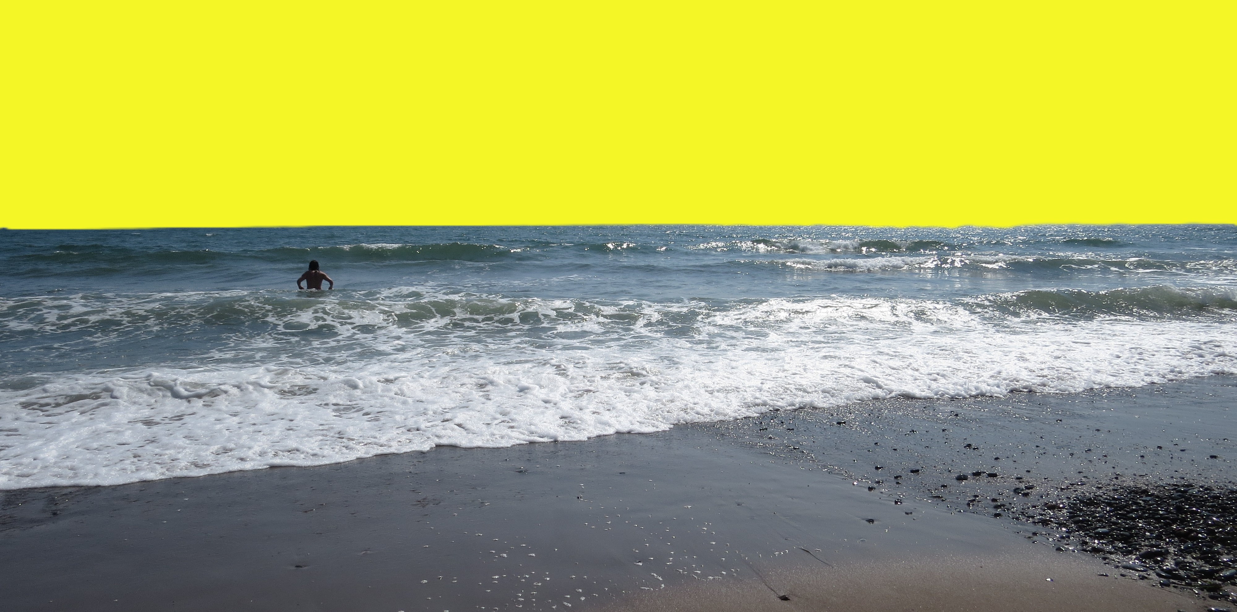
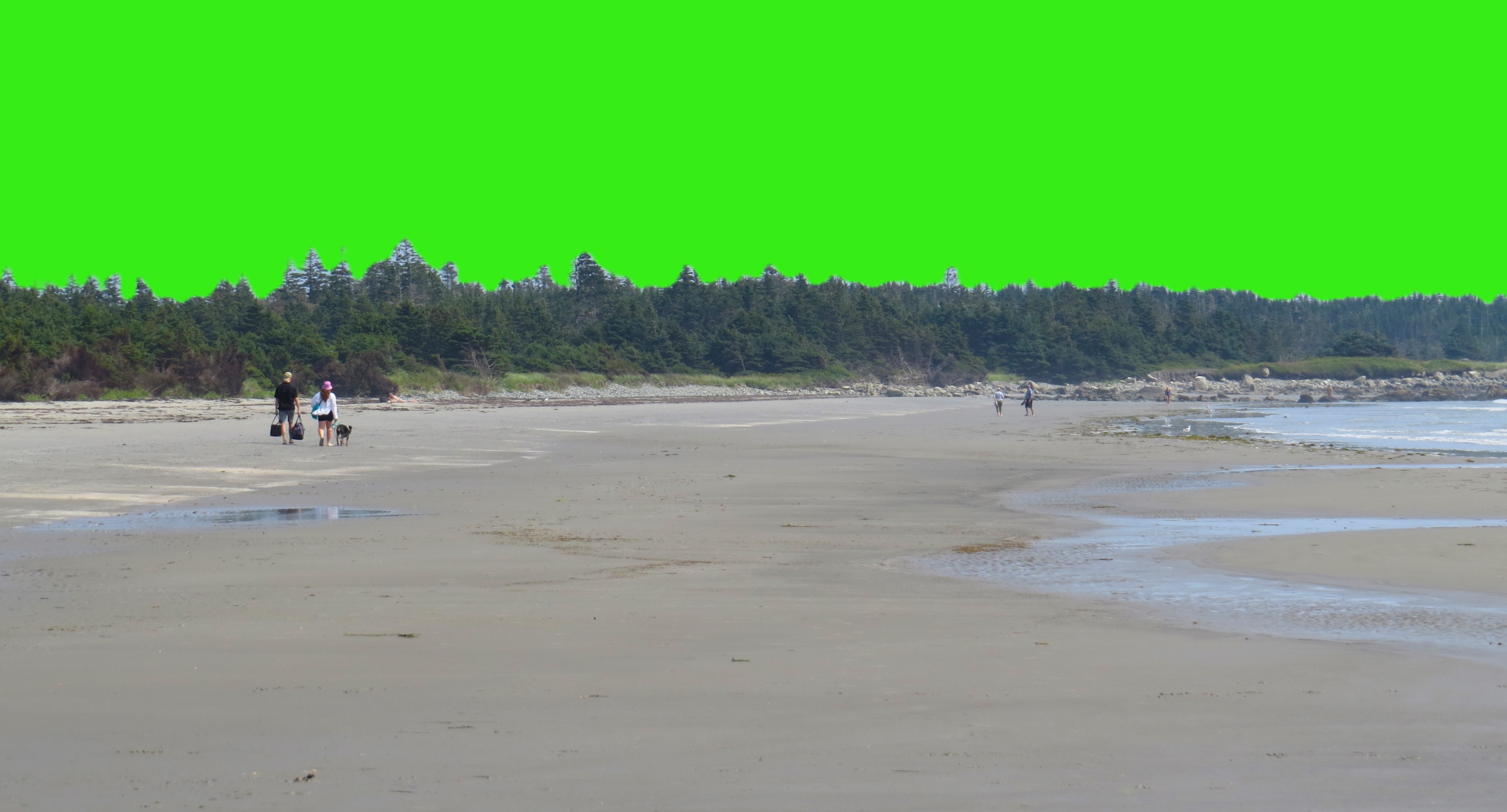
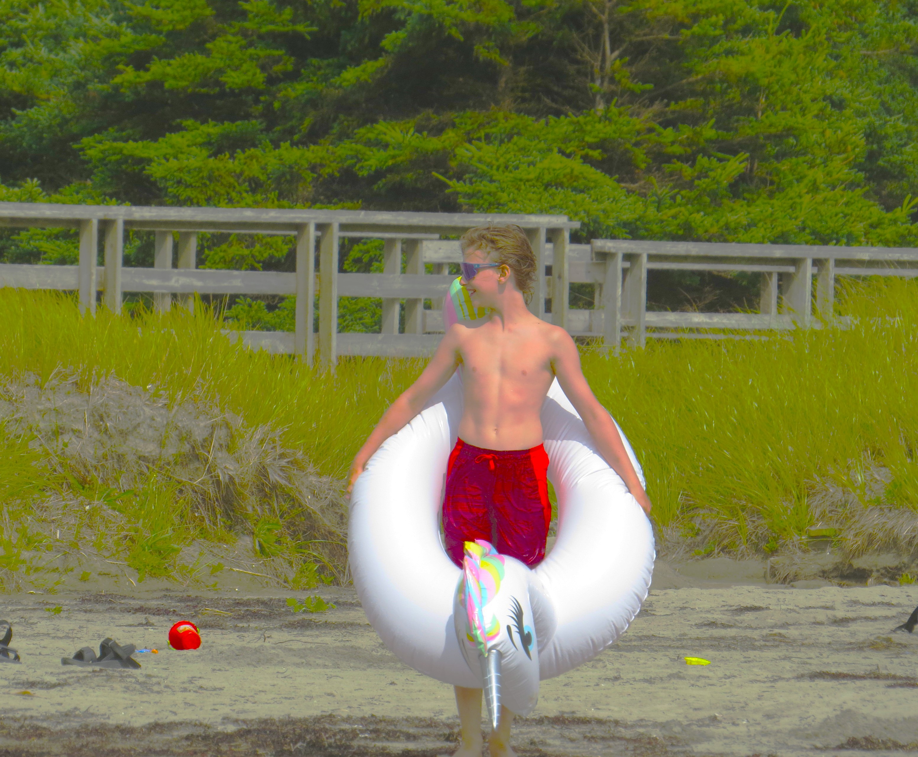
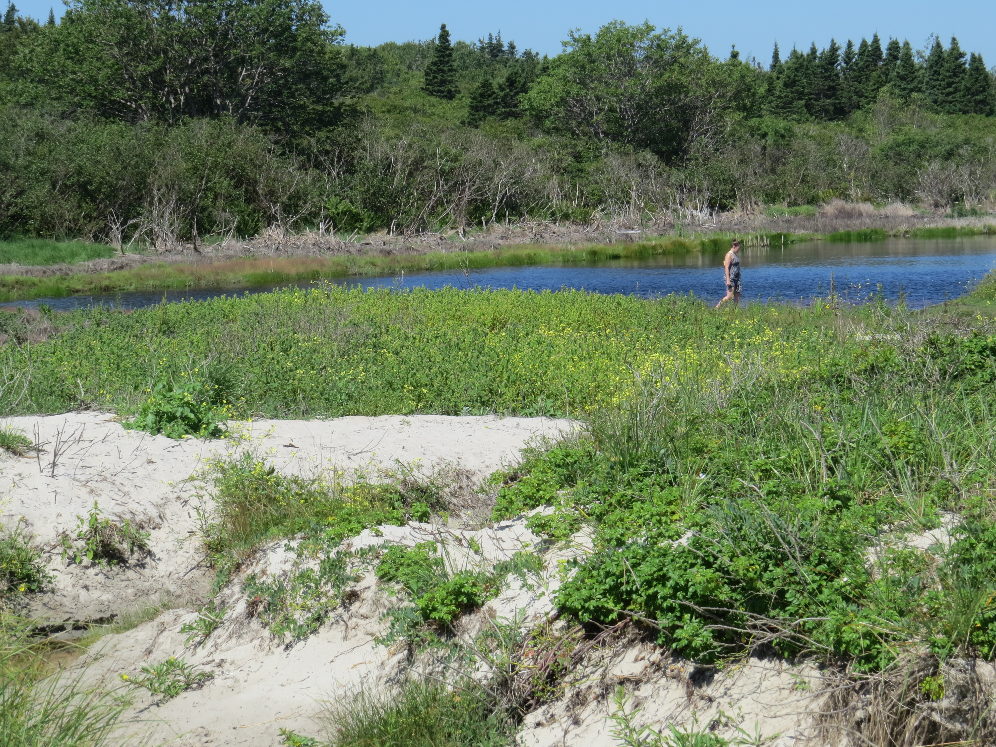
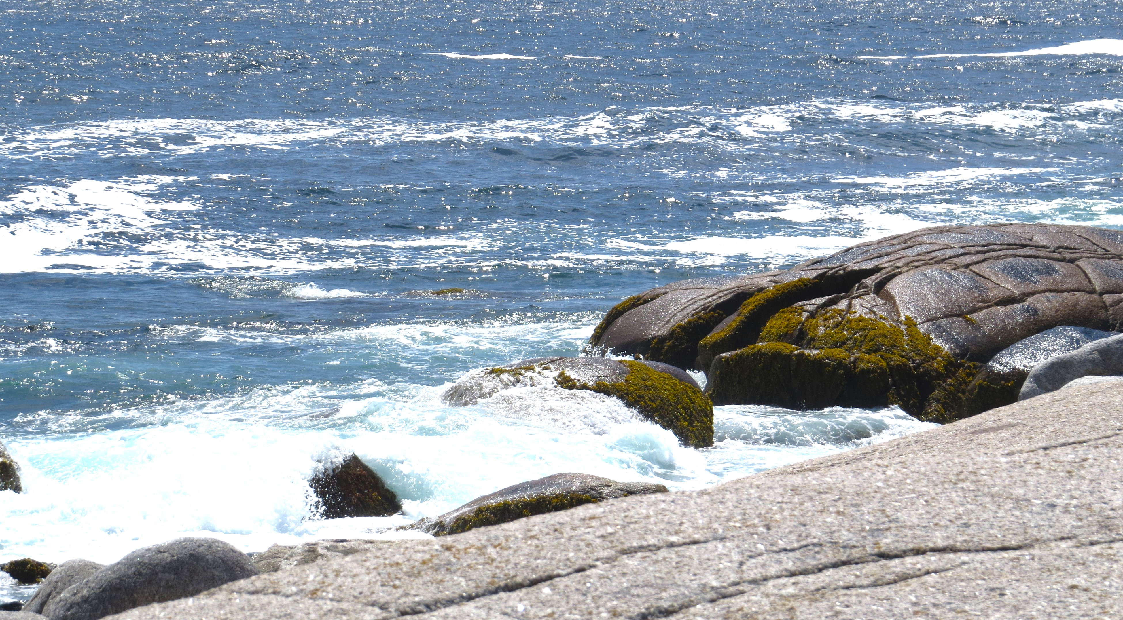
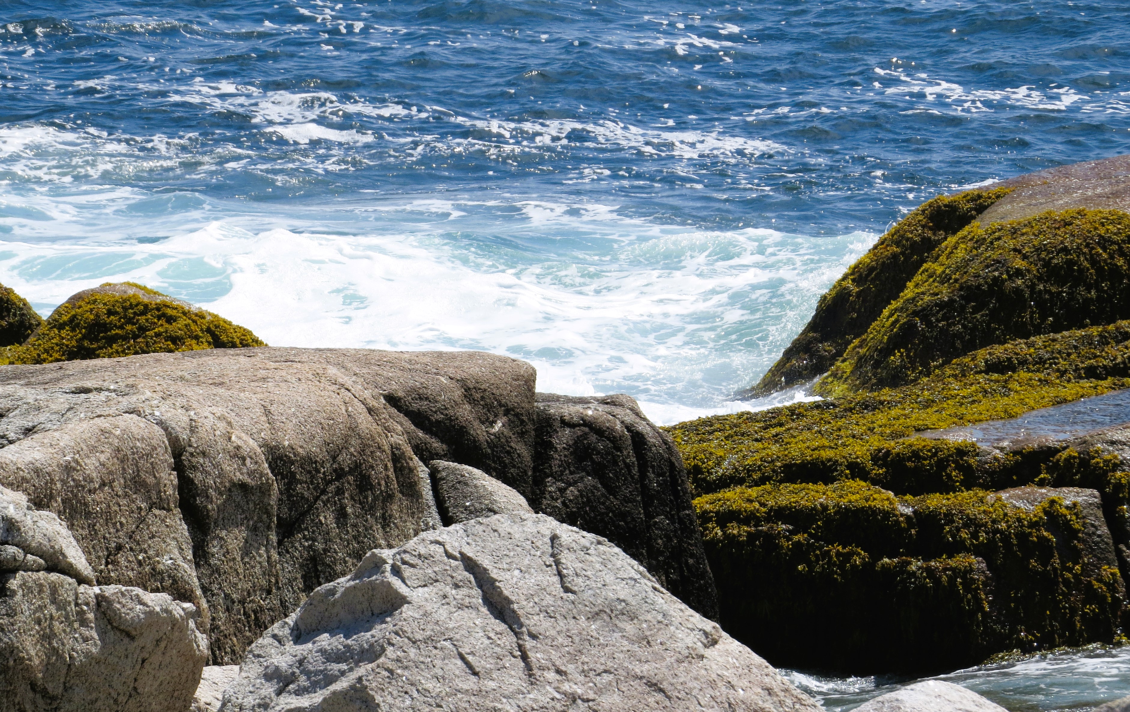
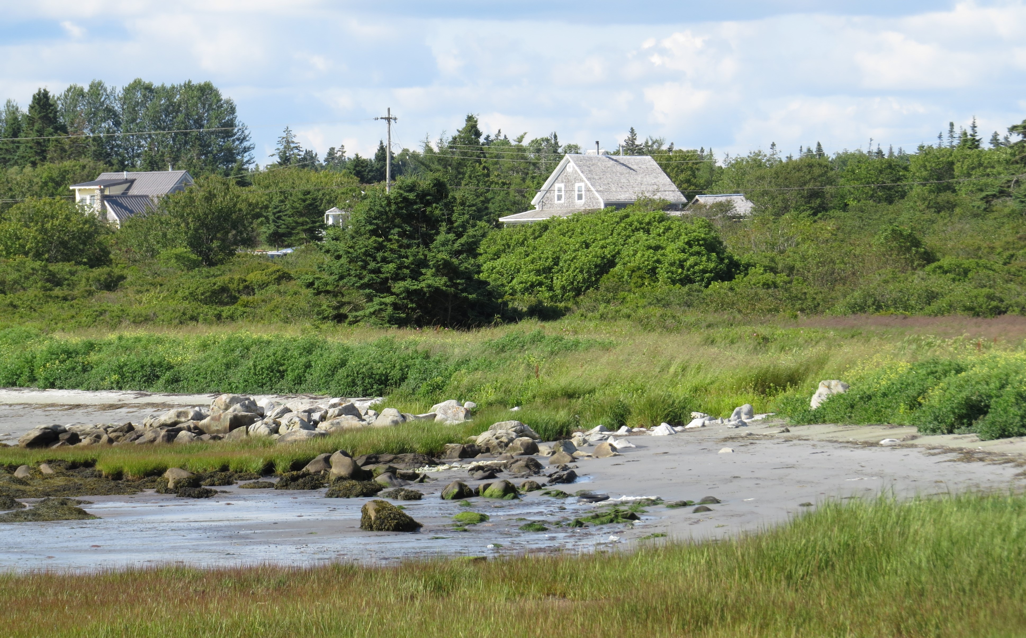
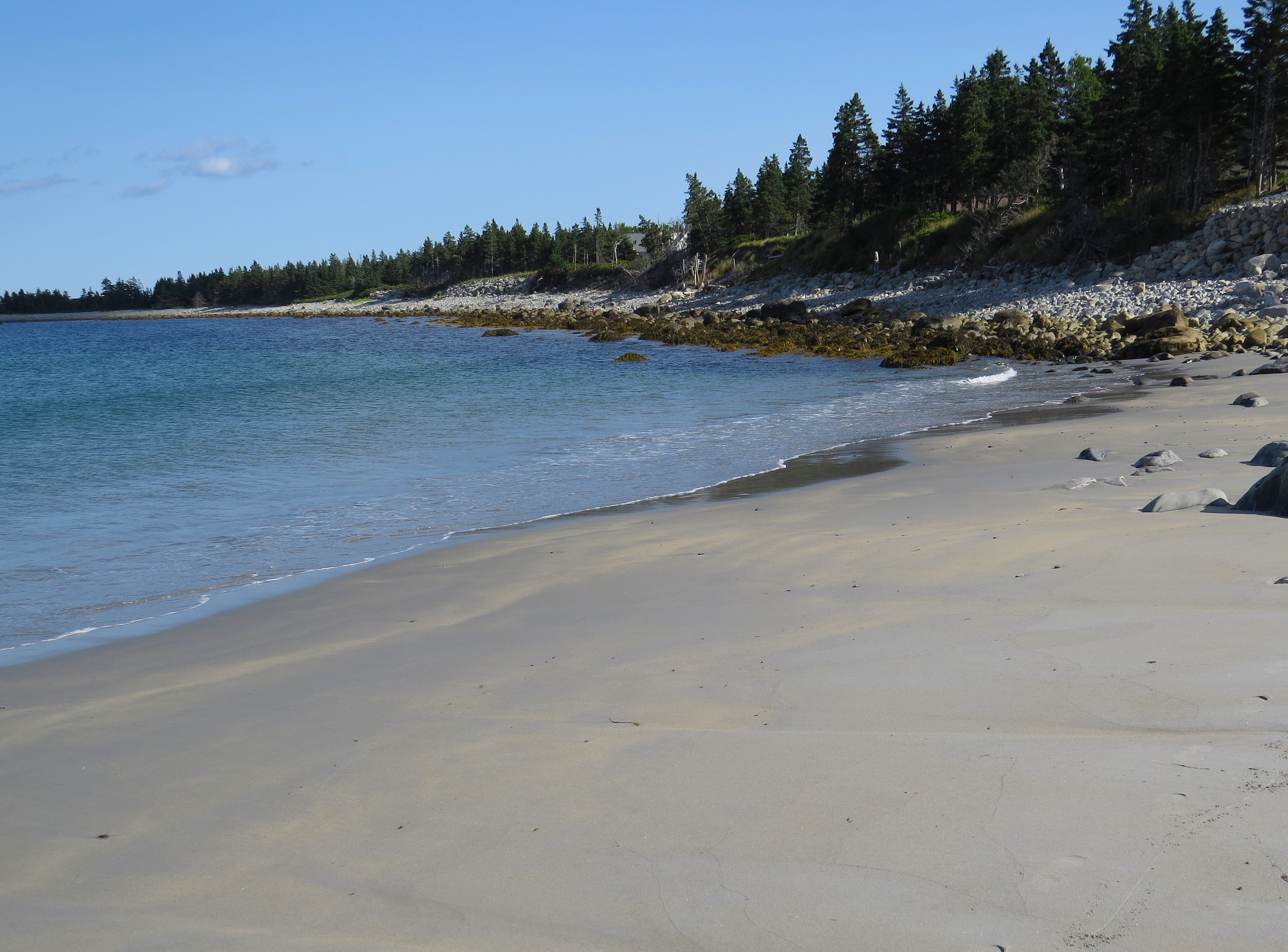
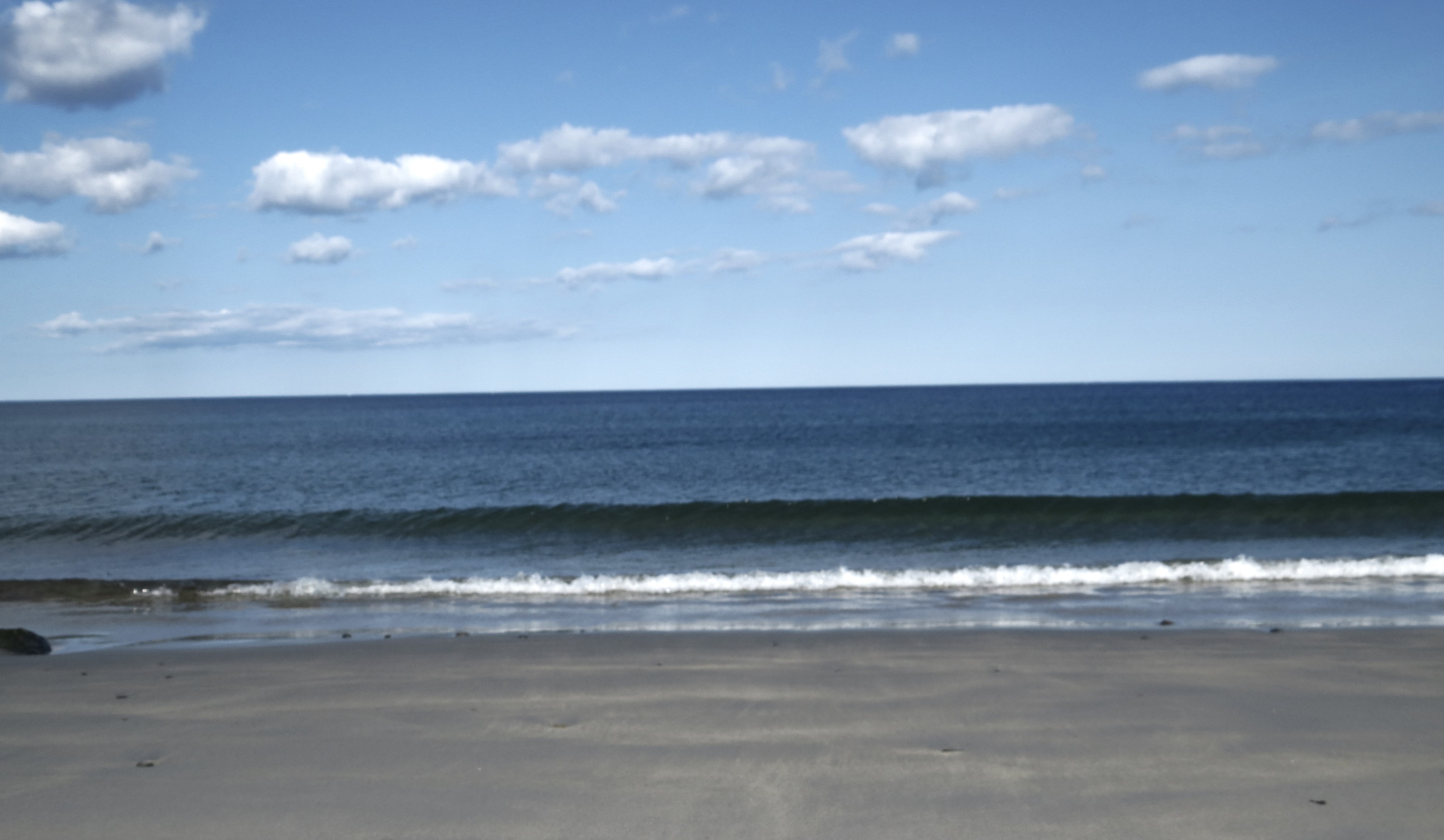
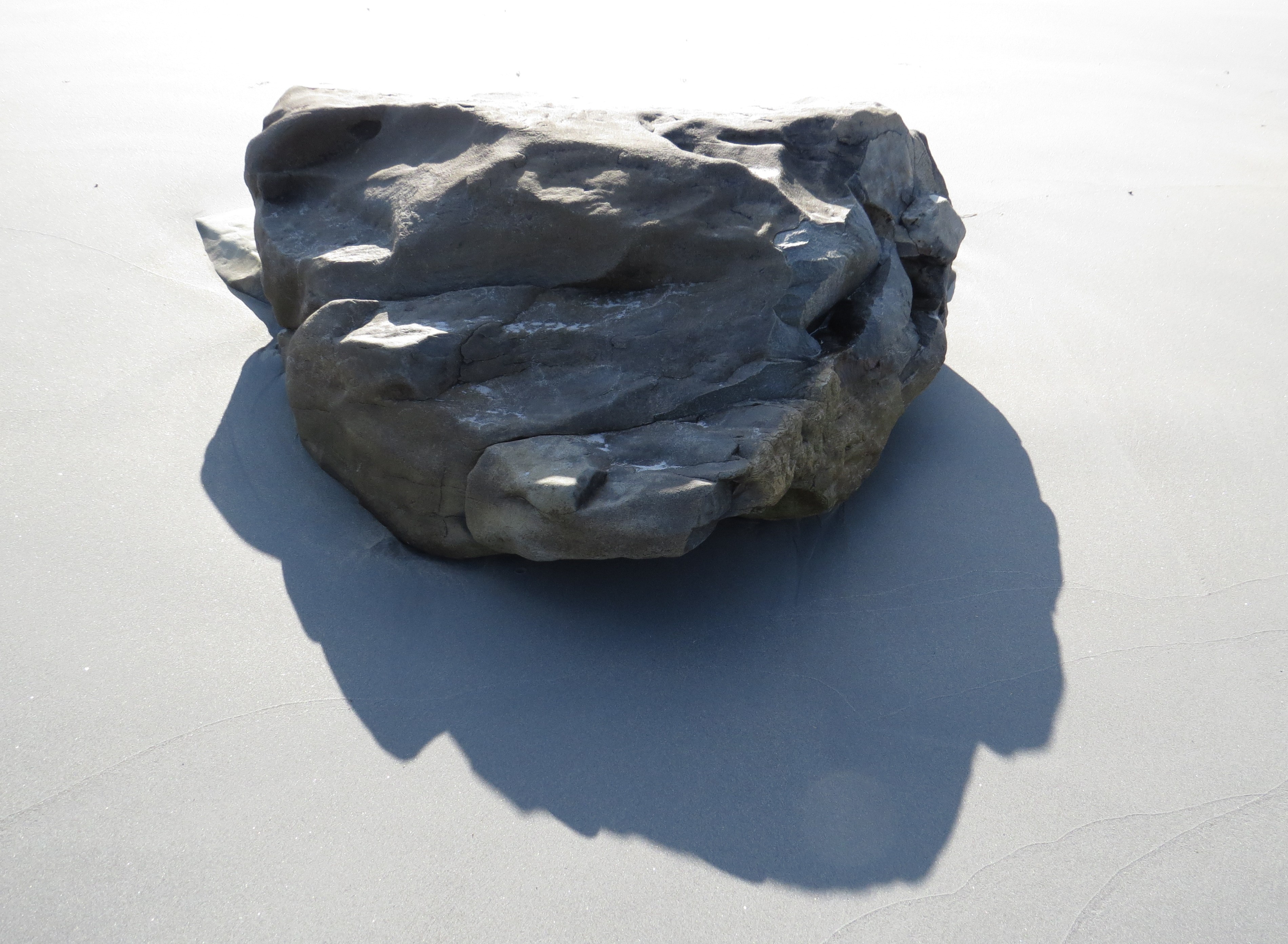
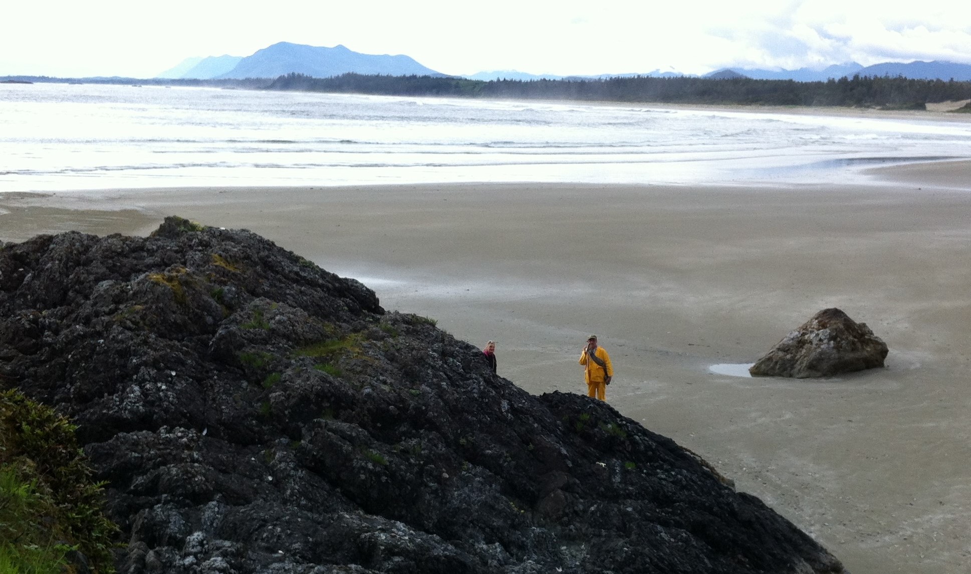
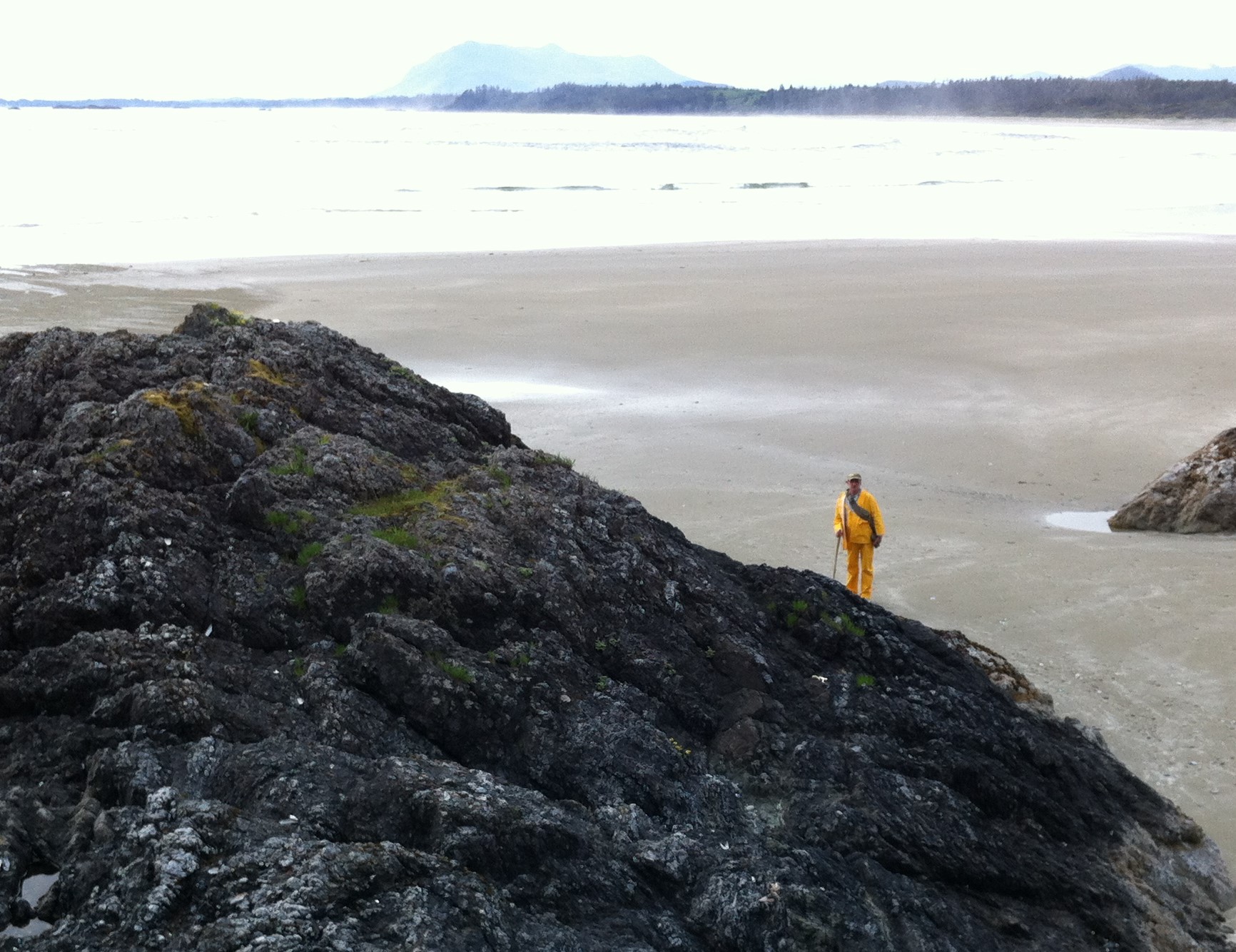
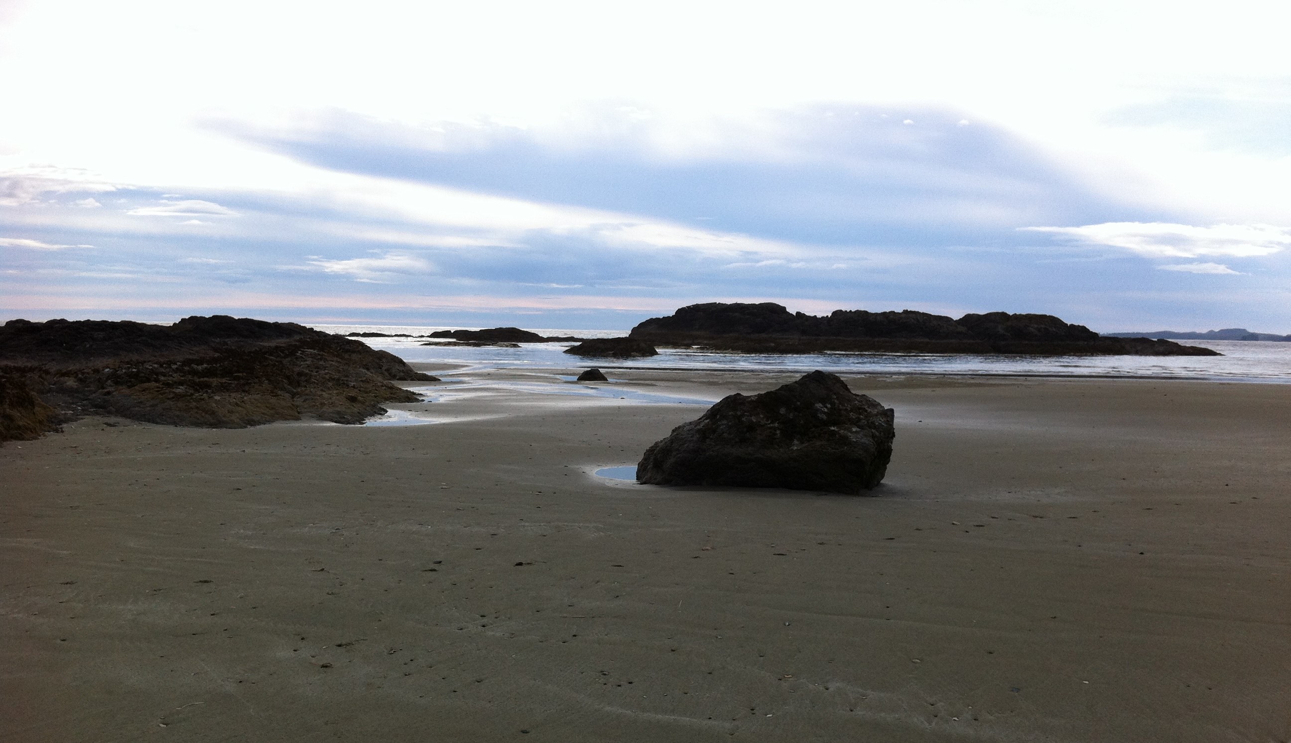
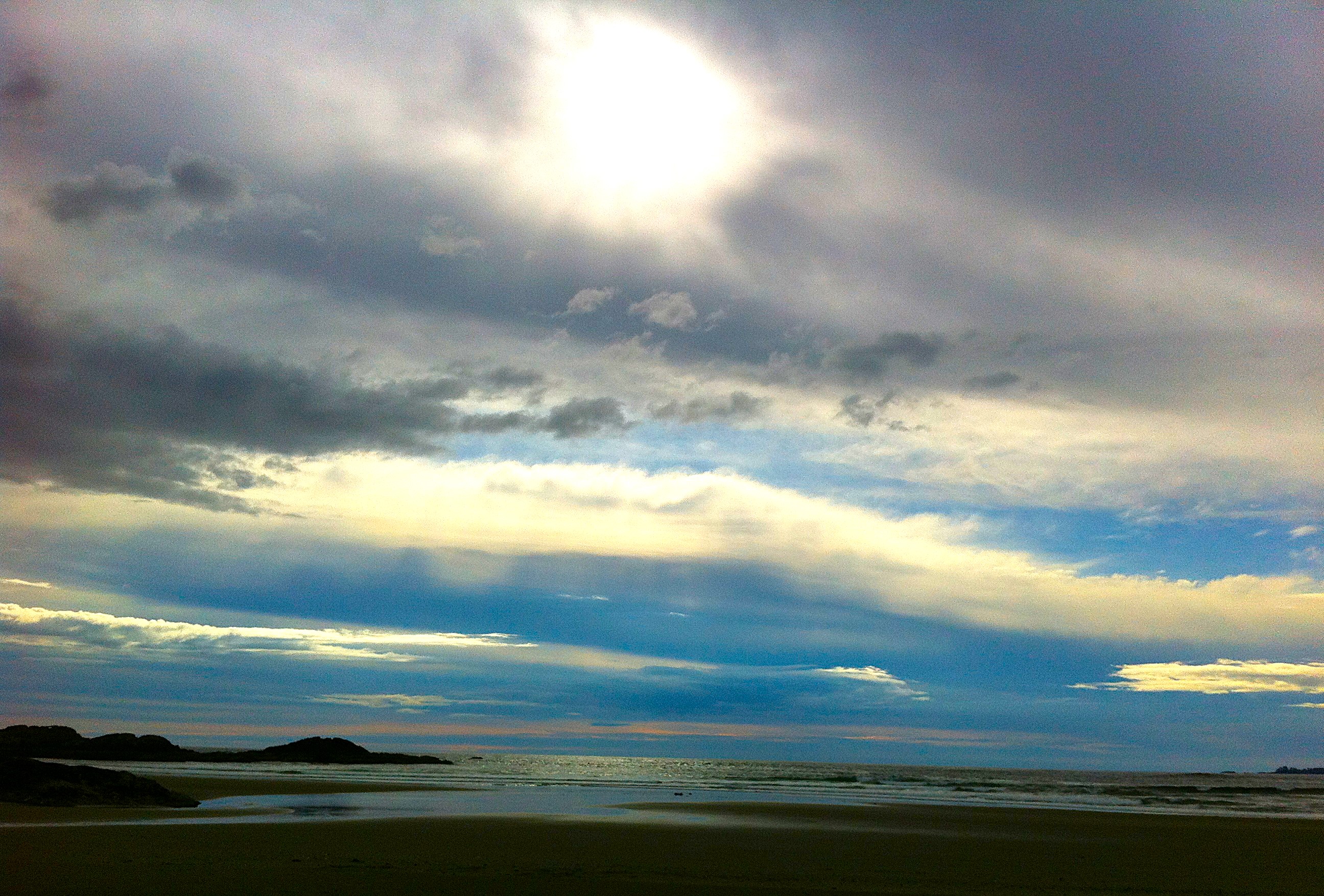
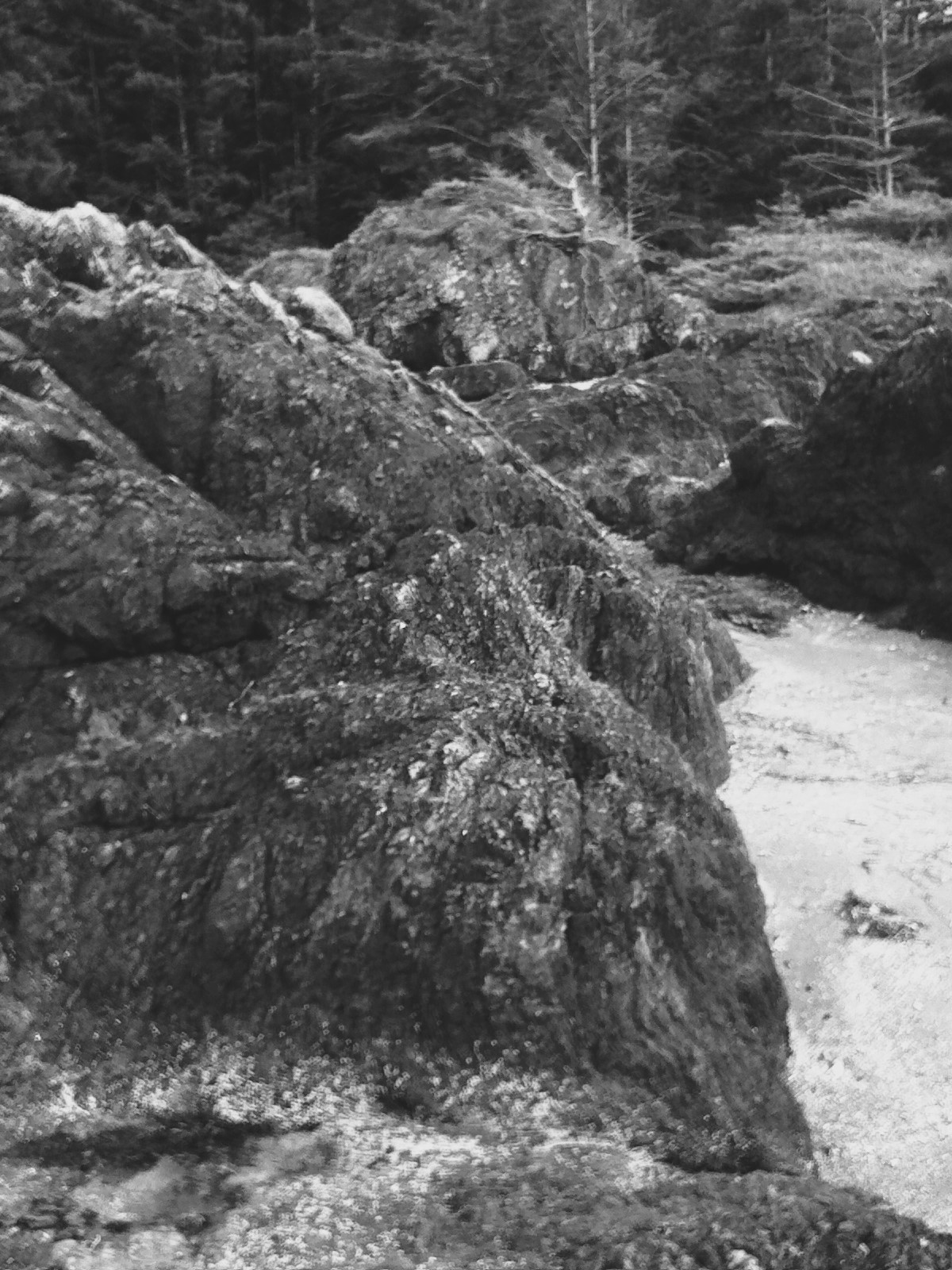
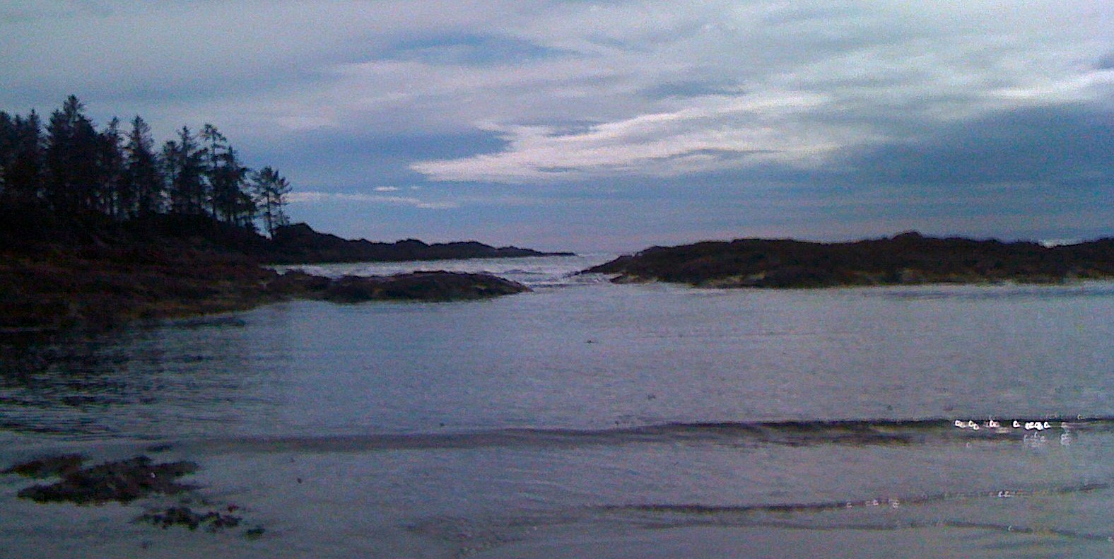
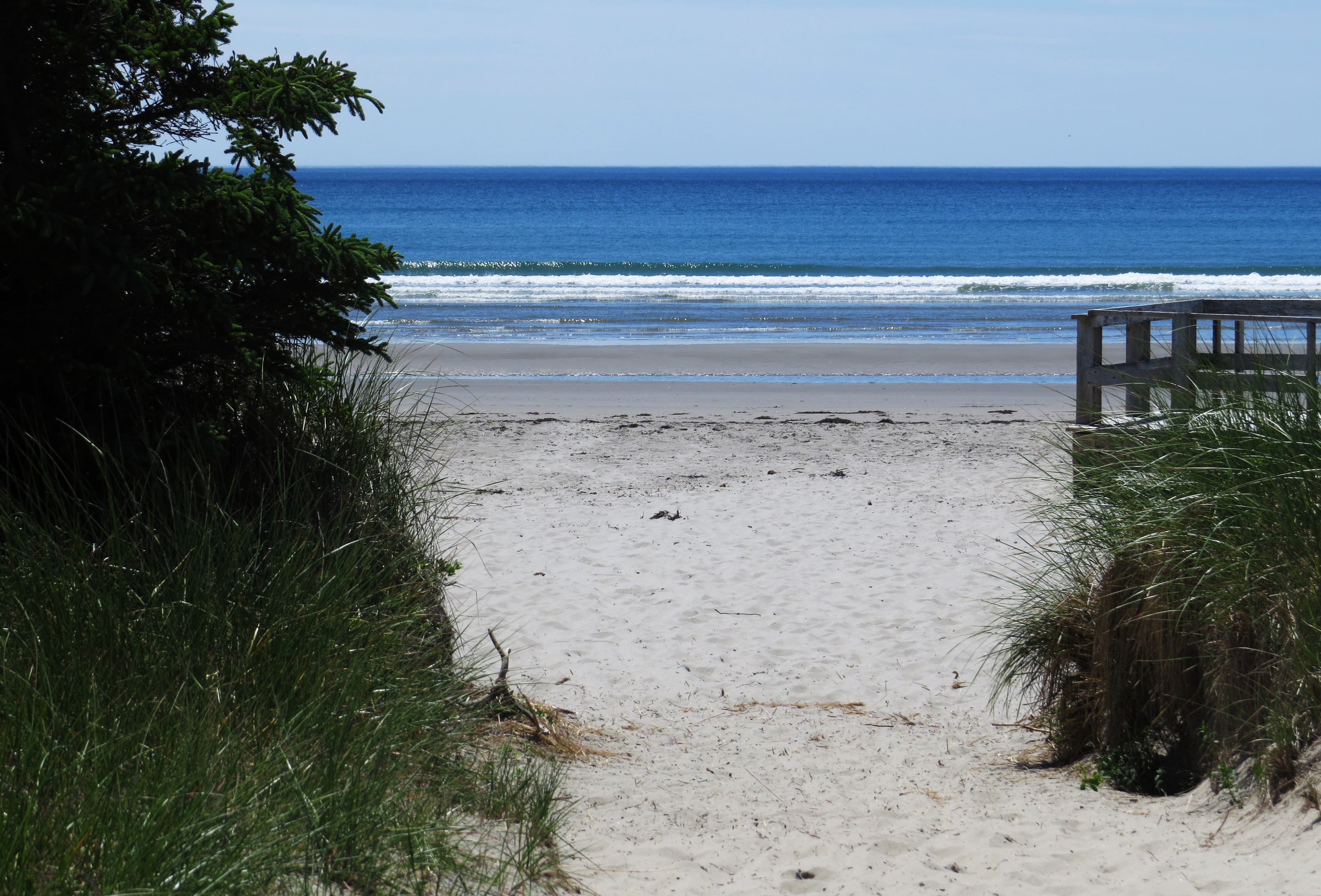
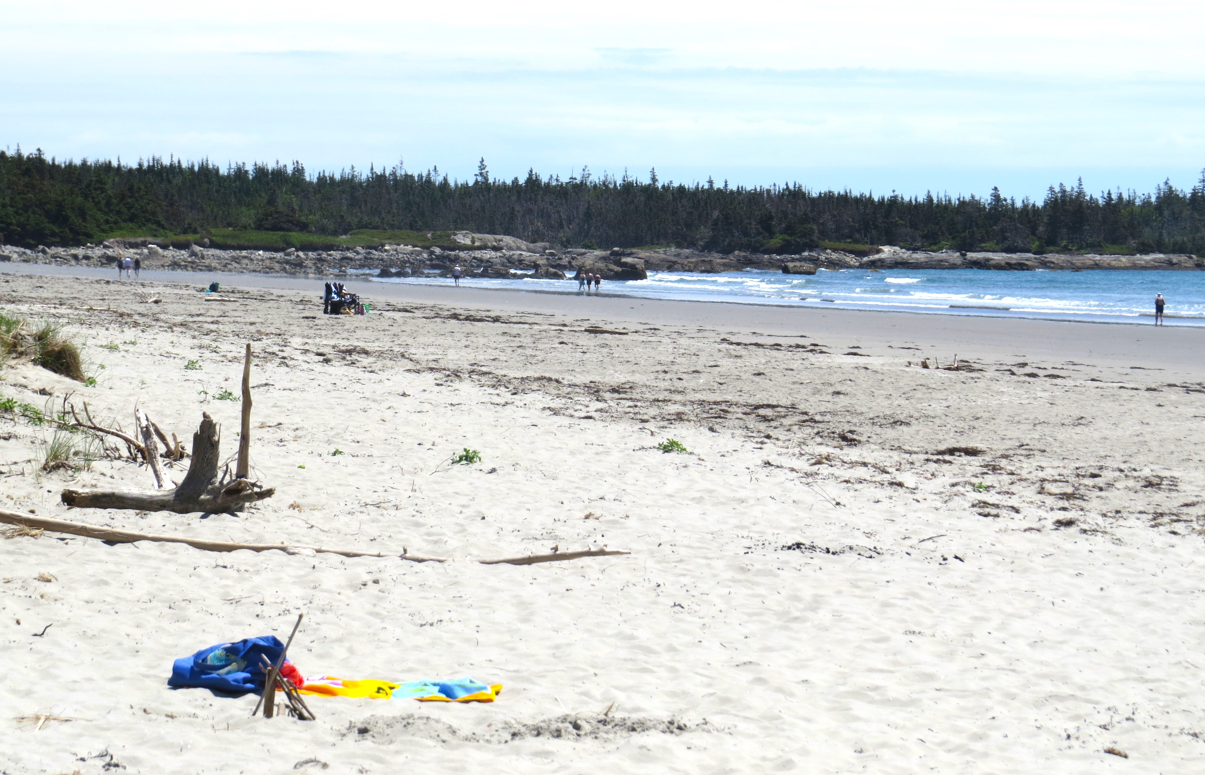
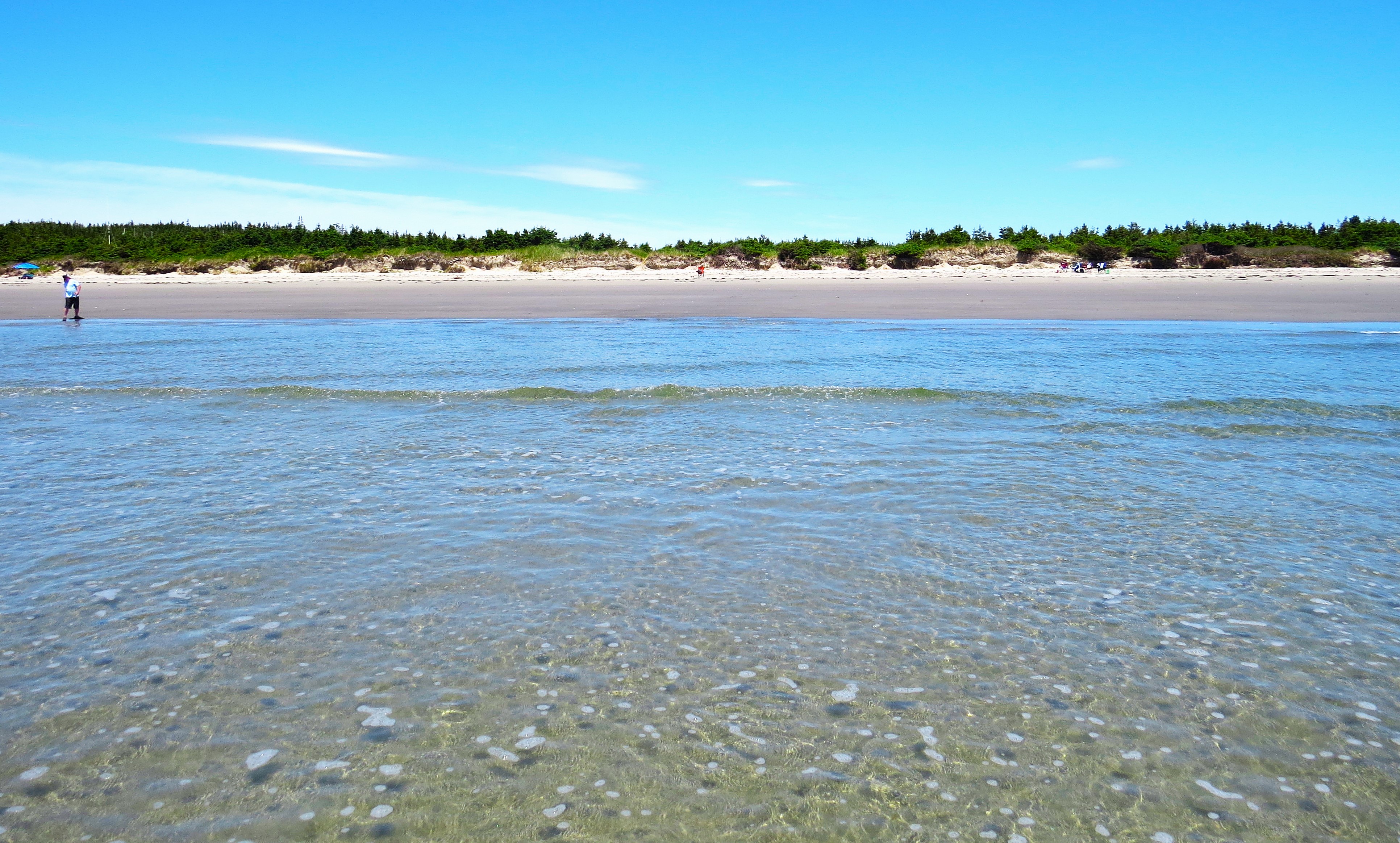
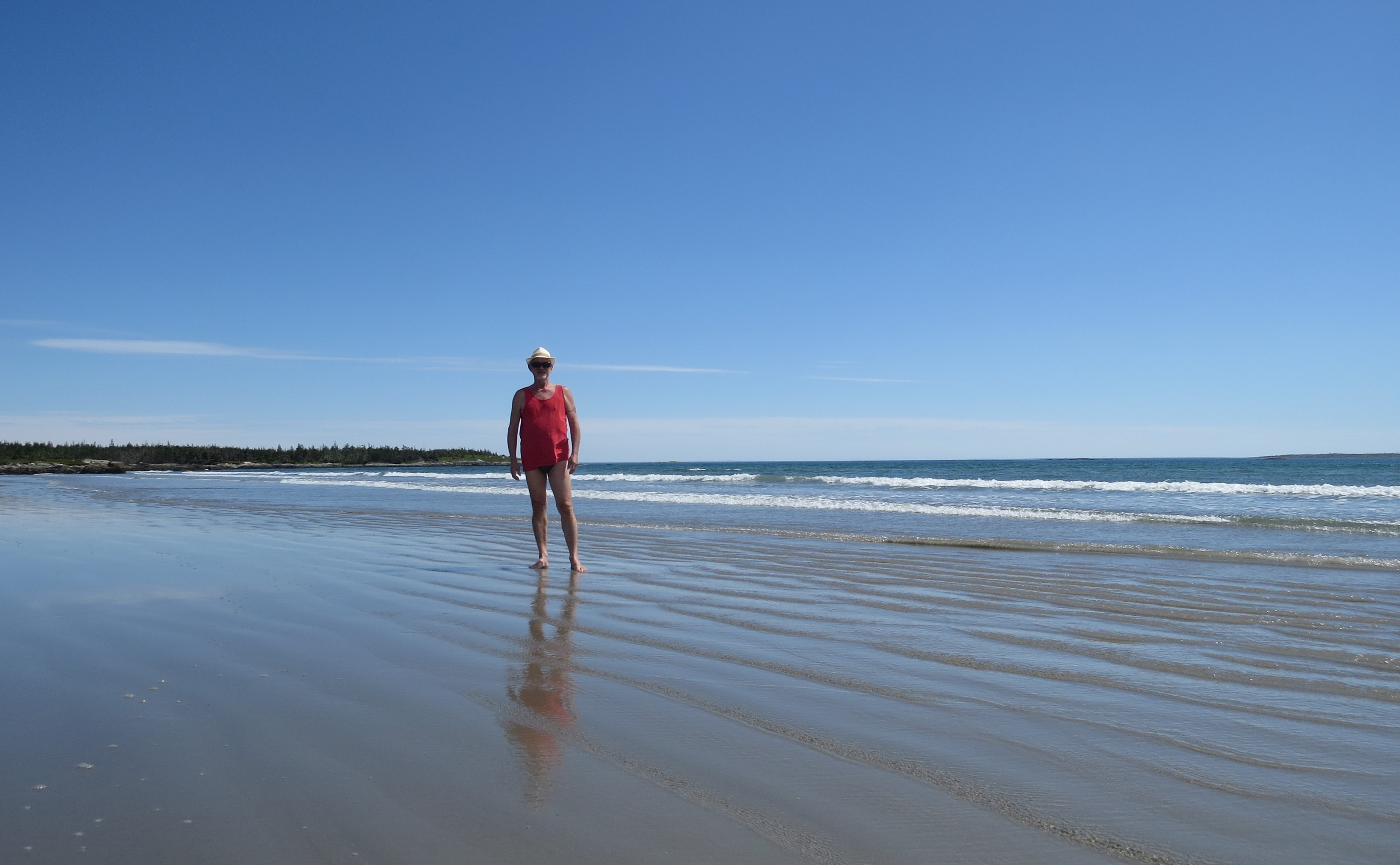
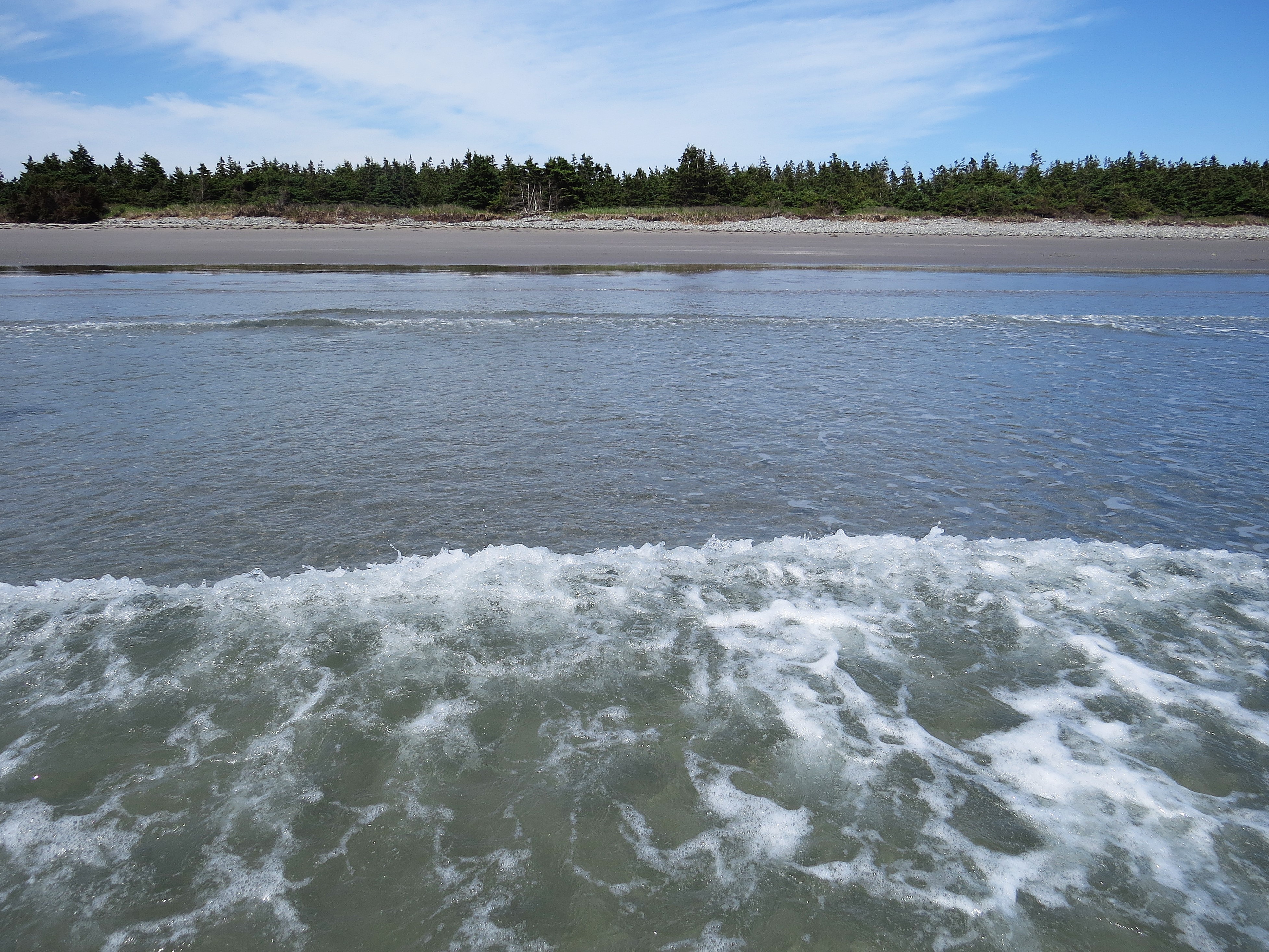
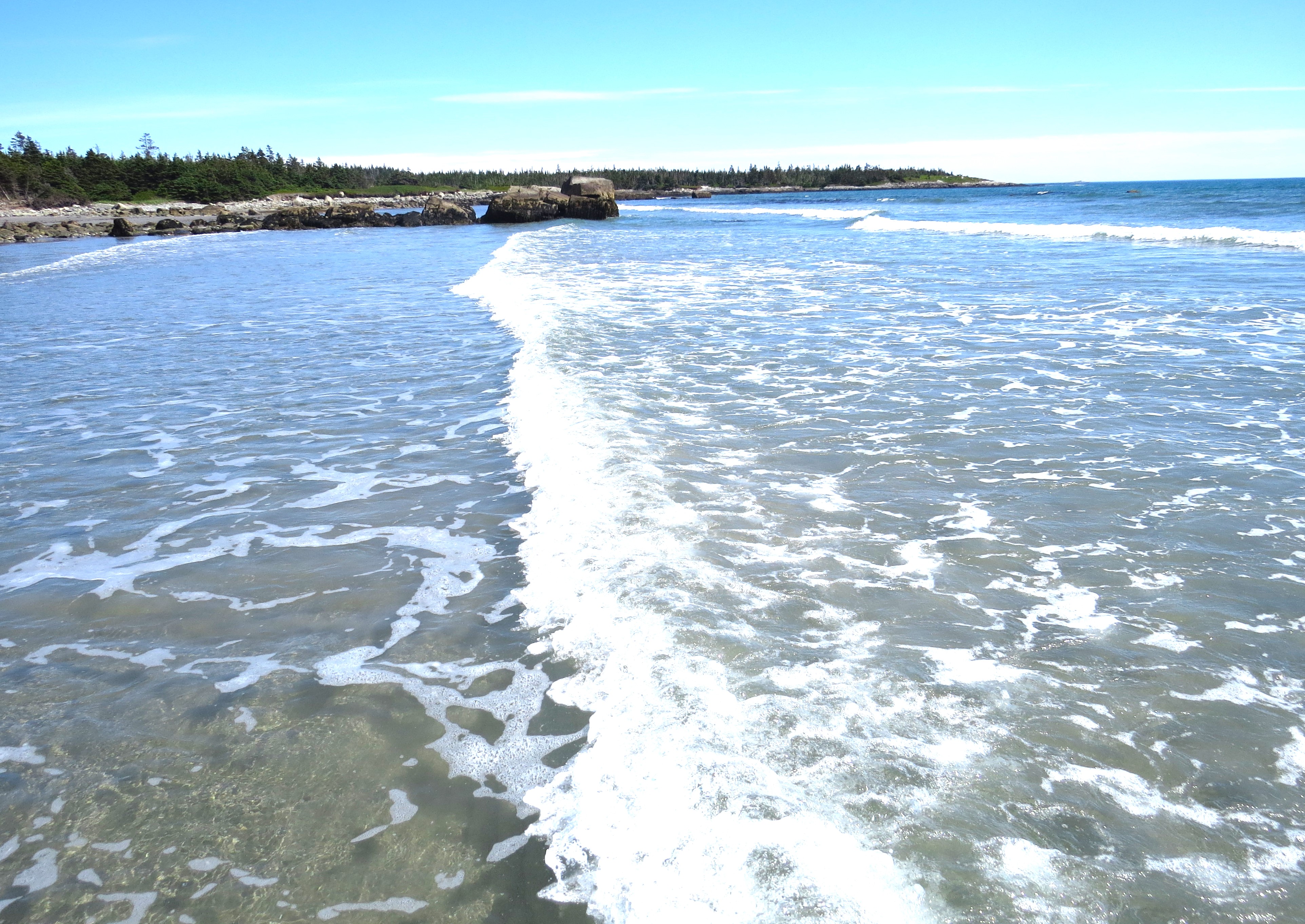
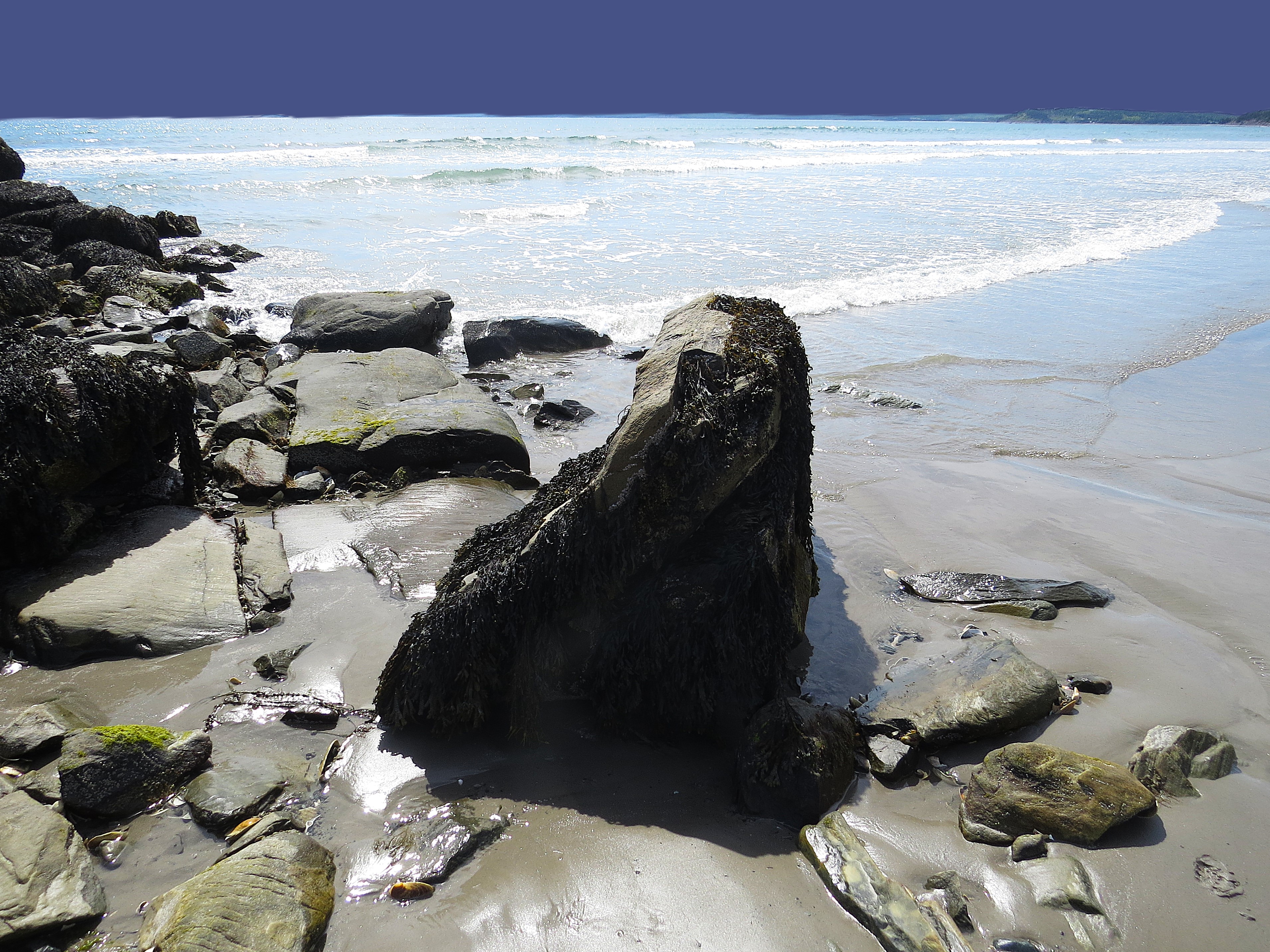
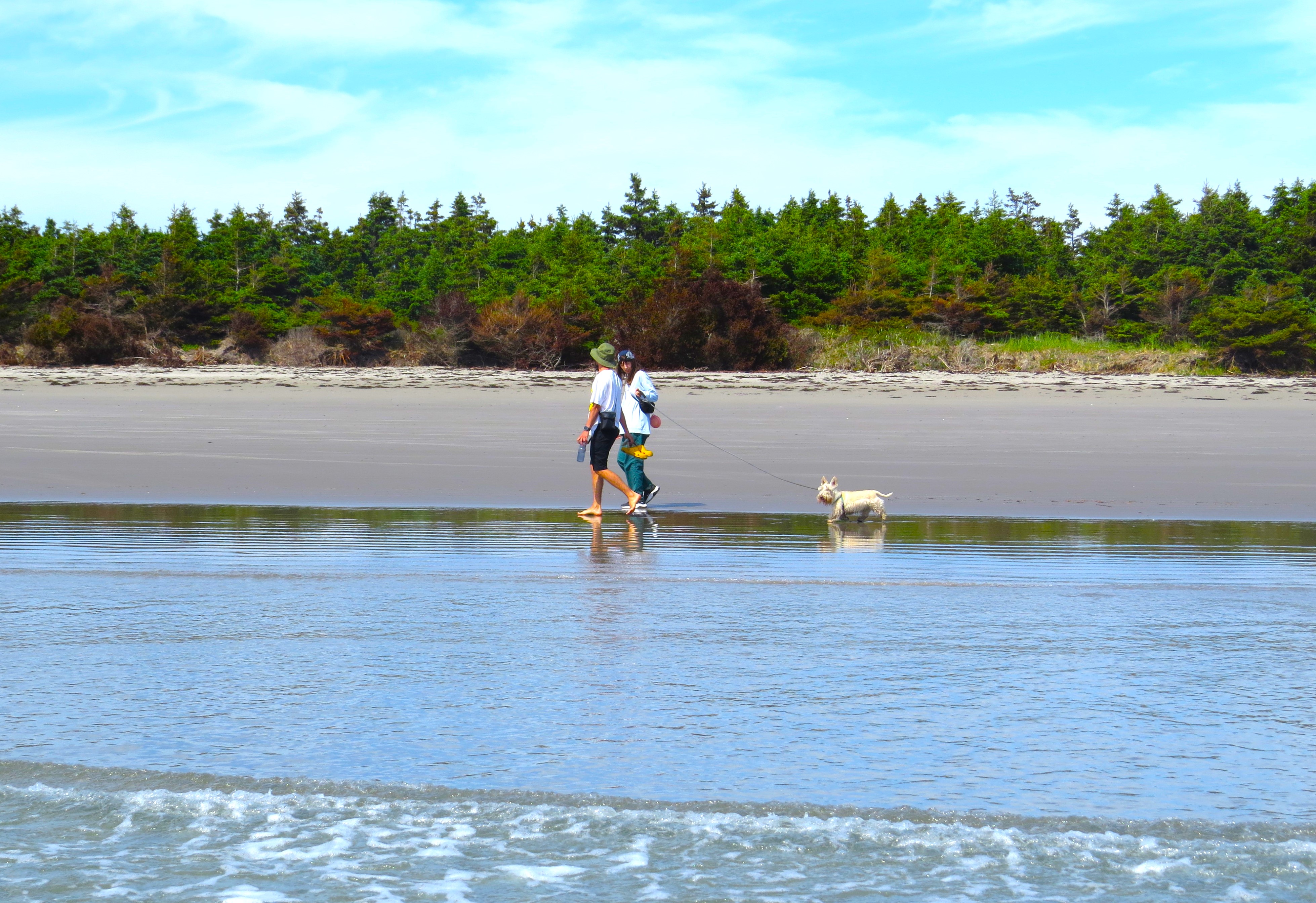
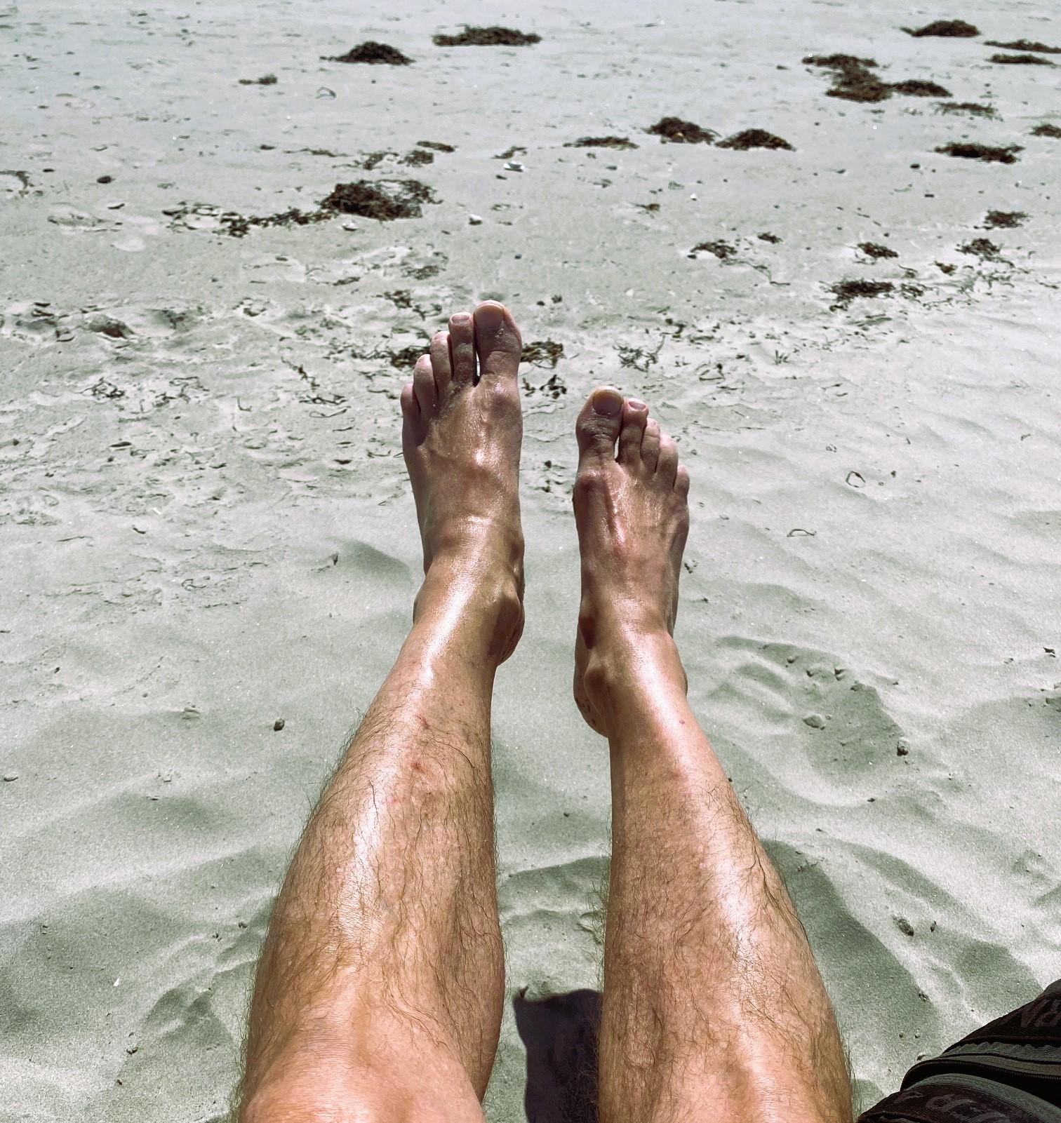
From there you cant get lost. Just continue to end of the East Berlin Road until you can’t go any further. The sandy beach is on your left side. Long, beautiful and likely empty.

Na końcu dojeżdża się do bitej drogi East Berlin Road, która zaprowadzi nas na sama plaże. Nie miniesz plaży, bo droga przy niej się kończy. Czemu droga bita i z dużymi dziurami, a nie asfaltowa? No, proszę państwa – ostatecznie jesteśmy już teraz we Wschodnim Berlinie. A we Wschodnim za moich czasów to się nie przelewało.

A plaża? Ponad kilometrowa, z bajecznym białym piaskiem, zejście do oceanu łagodne i stopniowe. I ani żywej duszy. Może czasem jakiś jeden lub dwóch lokalnych mieszkańców tu i zajdzie, ale turysta tu żaden nie trafi. A plaż łatwo dostępnych w Nowej Szkocji nie brakuje.

Long Beach and Cathedral Forest on Vancouver Island, BC

There was a lot of photographs here of the beauty and wilderness of Nova Scotia beaches on Atlantic shores.

But how could I forget about the other absolute gem on the opposite side of this, Canadian continent? The magic of Long Beach on Vancouver Island and – at times – the hair rising drive from Port Alberni pass the Kennedy Lake, to Ucluelet and Tofino.

Just before you reach the town of Alberni – one more amazing natural reserve: The Cathedral Forest. It is indeed a ‘cathedral’ – a sacred please saved from annihilation of forest logging companies by people protesting and risking being arrested. Sacred because there is very few places where you can see such undisturbed big forest of hundreds years old giants remembering times immemorial. The Canadian Sitka trees, Douglass fir, Red Cedar. It is an entire cosmos of it’s own ecosystem, everything supporting everything: from the dense brush, grass and plants on the forest floor, to trees that often you can’t see their top because their are so tall and the canopy so dense.

But first the awe inspiring shore of the Pacific from the town of Ucluelet to the town of Tofino. The simple fact is that you can actually walk the entire length of the shore from outskirts of Ucluelet all the way to the edges of Tofino on the beach. Through a bit but colorful rocky formations, passing amazing forest on the hills above, where you will find embankments for huge guns that were there during 2 world war searching for expected Japanese naval invasion. If I remember correctly they did notice one Japanese small vessel far on the horizon and fired few rounds. The shells landed in the waters far from the ship but it was enough to make it turn around and disappear.

The edges of the beaches in Nova Scotia Atlantic are full of oval clam shells and reddish tops of dead crabs; the Pacific beaches are covered with dark bluish mussels and rocky crevices with gardens of amazing anemones.

Long Beach, BC but first the road from Alberni to Ucluelet

… and few picture of first town – Ucluelet

finally – Long Beach

Cathedral Forest

Clam Bay Beach – north of Jedorre – na Wschodnim Wybrzeżu Nowej Szkocji

Clam Bay Beach – north of Jedorre – na Wschodnim Wybrzeżu Nowej Szkocji

Dziś trochę dalej samochodem szosą nr.7, z Halifaksu aż za Martinique Beach – w kierunku rzeki Tangier. Kiedyś już wspominałem, że tych nazw prawie tropikalnych tu sporo. Co latem nie dziwi. Tylko latem, naturalnie.

Ale dziś do plaży, na której nigdy nie byłem – a wydawałoby się, że byłem tu na każdej przez te sześć lat. Ta jednak z bardzo długim i skomplikowanym dojazdem bocznymi drogami. Jeśli już mijałem Musquoboit Harbour – to po prostu prałem dalej, do końca prawie, na ukochaną plażę Taylors Head Beach tuż za Spry Bay.

Więc tym razem zdecydowałem tą jednak poznać. Głównie dlatego, że mimo tych wielokilometrowych wąskich nitek szos w dół, do oceanu – to i tak o ponad połowę bliżej niż Taylors Head.

Jak ją opisać? Po prostu, prawdziwie. To Północna Polinezja. Te dwa słowa wydają mi się oddawać najlepiej charakter tej mało znanej plaży. Te dwa, lub może nawet tylko jedno: bajka.

Już końcowy dojazd wąską, krętą drogą wśród lasów i rozsianych rzadko malowniczych gospodarstw, nadaje tej wycieczce charakter bukoliczny.  

Plaża z cudownym szerokim i wielokilometrowym pasem drobnego, jak mąka piasku przypomina nieco właśnie tą w Taylor Park. Tylko przez fakt, że jest bardzo szeroką zatoką i całkowicie otwartą na ocean – ma duże fale nieustannie podpływające na brzeg. Co mnie naturalnie od razu ucieszyło. Pływanie w falach raduje mnie najbardziej. W przeciwieństwie do większości plaż, zejście z wody płytkiej do głębokie jest bardzo łagodne i bardzo długie. W zasadzie jest to sam w sobie niezły spacer i daje czas ciału na oswojenie się z szokiem temperatury (o ciele to jeszcze trochę potem powiem, LOL). Gdy jednak dojdziesz gdzieś do pół-pasa, to jużeś przepadł, już nie uciekniesz. Jeśli nie pierwsza, to na pewno druga fala cię zimnymi ramionami obejmie całego! Wtedy to już lepiej pływać z tymi falami niż być targany nimi w tę i we wtę.

Pierwszy dzień lata kalendarzowego i słonce sprezentowało temperaturę sierpniową. W Europie na takiej plaży byłoby tysiące ludzi. Tu dziś naliczyłem, ok.  … trzydziestu. Pewnie byłem jedynym nie lokalnym. No i ta temperatura iście sierpniowa była na plaży, na lądzie. Królestwo Posejdona ciągle zimne i mroziło stawy nóg. Ciało ludzkie jest jakieś dziwne, a że mężczyzna też czasem bywa człowiekiem, więc i moje jak rozkapryszona kobieta. Najpierw wrzeszczy, gdy zanurzam się po szyję: szaleju się idioto obżarłeś?! Wracaj mi zaraz na plażę z tej lodówki albo nogi zabiorę i razem na plażę uciekniemy, a ciebie niech te fale gdzieś w głębiny pociągną. I nie wiem czy żarty to, czy groźby prawdziwe, więc na wszelki wypadek wracam i siadam w słońcu na składanym krzesełku. Słońce grzeje. Nieźle. To ciało zaraz odwrotną litanie śle: czy ty myślisz, że ja to jakaś krewetka, którą w oleju na tej plażowej patelni będziesz smażył?! Wracaj mi zaraz do wody lub udarem cię draniu zabiję!  No tak – rozkapryszona kobieta, której nie sposób dogodzić. Więc kończę pisać i wracam do fal.